The best hikes from bus stations around Daun
4.5
(36395)
123,282
hikers
135
hikes
Bus station hiking trails around Daun navigate a landscape shaped by volcanic activity, featuring distinctive crater lakes known as maars, extensive forested hills, and river valleys carved by the Lieser River. The region is part of the Volcanic Eifel Nature and Geopark, offering varied terrain from gentle paths around the maars to more challenging ascents up hills like Ernstberg and Wachtberg. This geological diversity provides a range of hiking experiences accessible via public transport.
Best bus station hiking trails around…
Last updated: August 6, 2026
4.8
(1507)
4,736
hikers
14.0km
04:03
340m
340m
Moderate hike. Good fitness required. Easily-accessible paths. Suitable for all skill levels.
4.5
(135)
482
hikers
26.4km
07:06
330m
320m
Hard hike. Very good fitness required. Easily-accessible paths. Suitable for all skill levels.

Sign up for free
4.6
(21)
72
hikers
10.6km
03:02
250m
260m
Moderate hike. Good fitness required. Easily-accessible paths. Suitable for all skill levels.
4.7
(18)
59
hikers
13km
03:41
290m
290m
Moderate hike. Good fitness required. Easily-accessible paths. Suitable for all skill levels.
4.5
(11)
51
hikers
10.9km
03:09
270m
270m
Moderate hike. Good fitness required. Easily-accessible paths. Suitable for all skill levels.
Get access to more routes and recommendations from other explorers.
Sign up for free
Already have an account?
Our route recommendations are based on thousands of hikes, rides, and runs completed by other people on komoot.
Start today with a free account
Your next adventure awaits.
Login or Signup
Popular around Daun
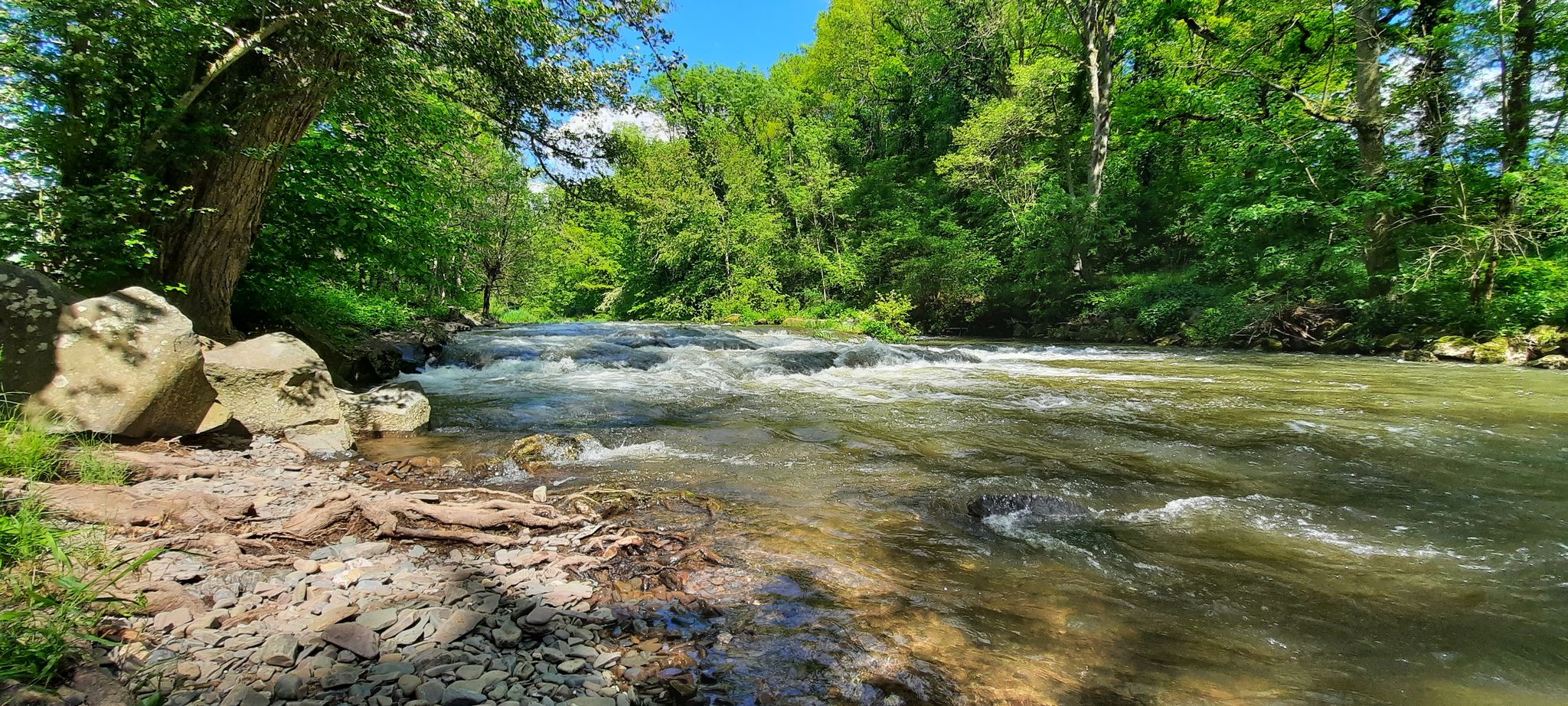
Lieserpfad between the Eifel and the Moselle rivers – Wild forests, wild water
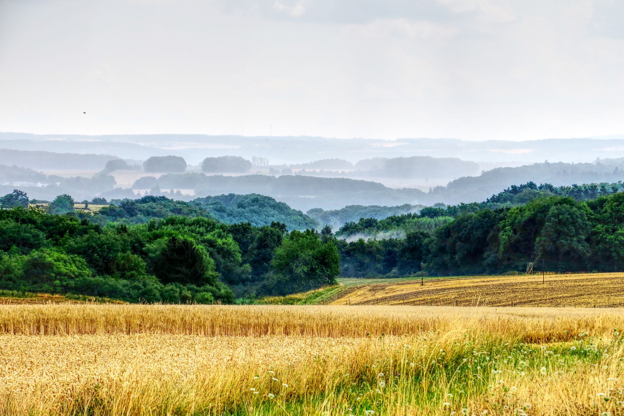
The National Natural Landscapes in Rheinland-Pfalz

Excellent paths in the Vulkaneifel – Explore the HeimatSpuren
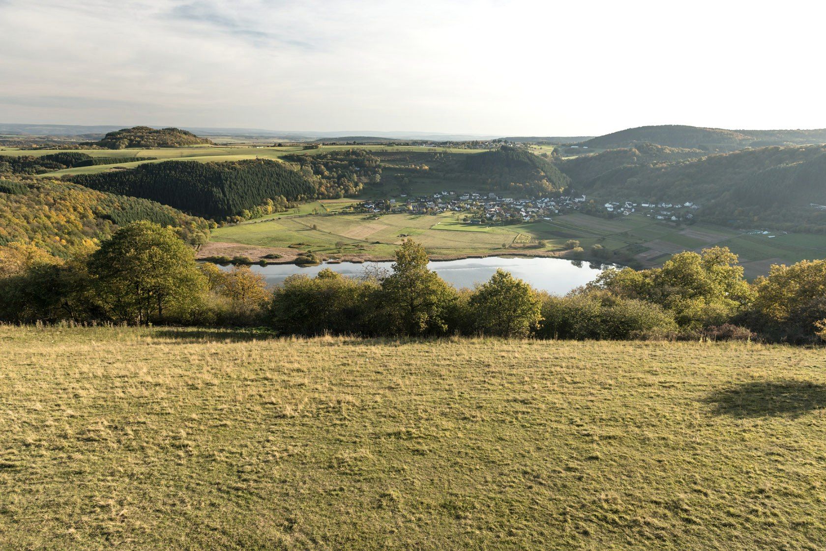
Crater lakes and lava rock – hiking in Germany’s Volcanic Eifel
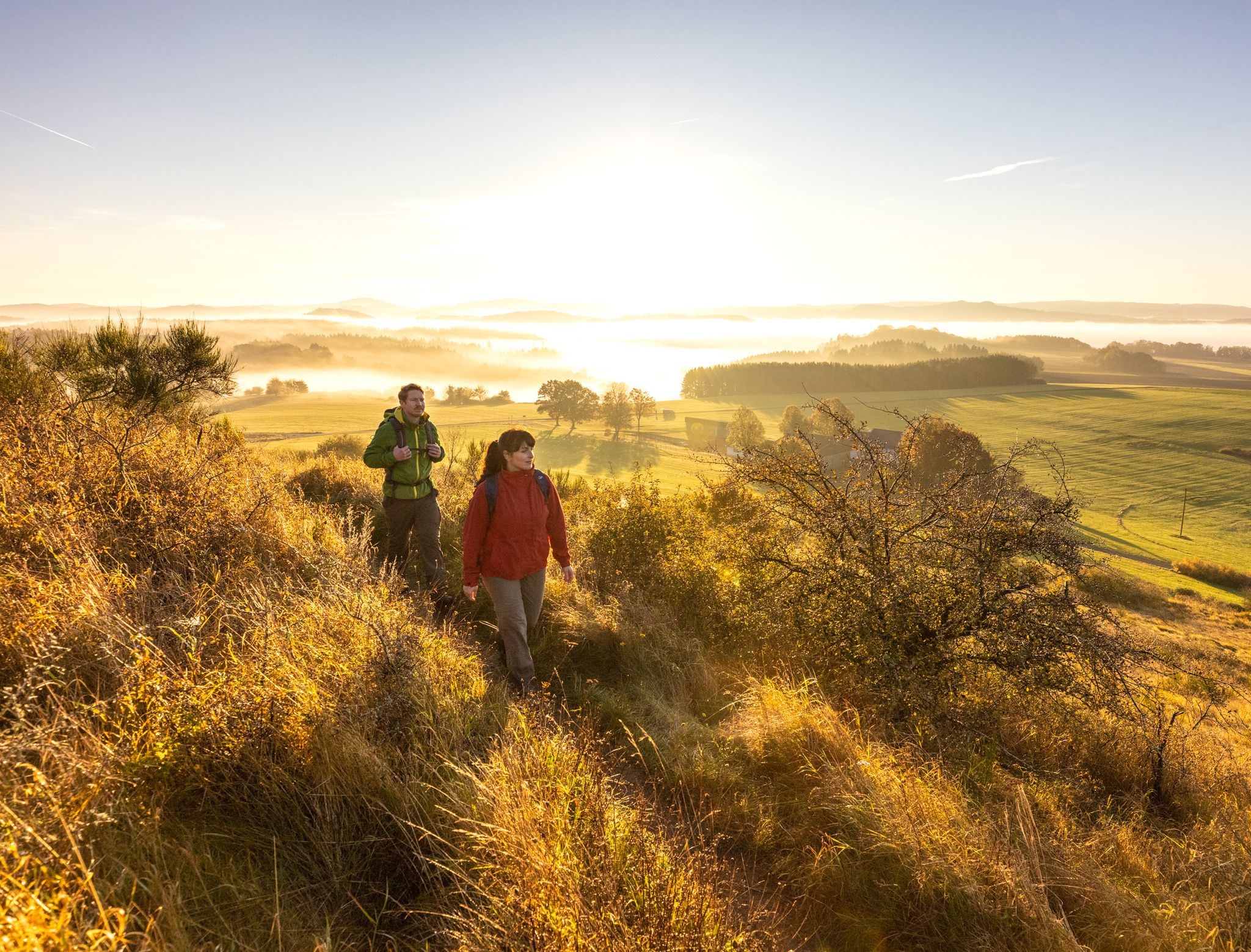
The 15 stages of the Eifelsteig Trail — Between rocks and water
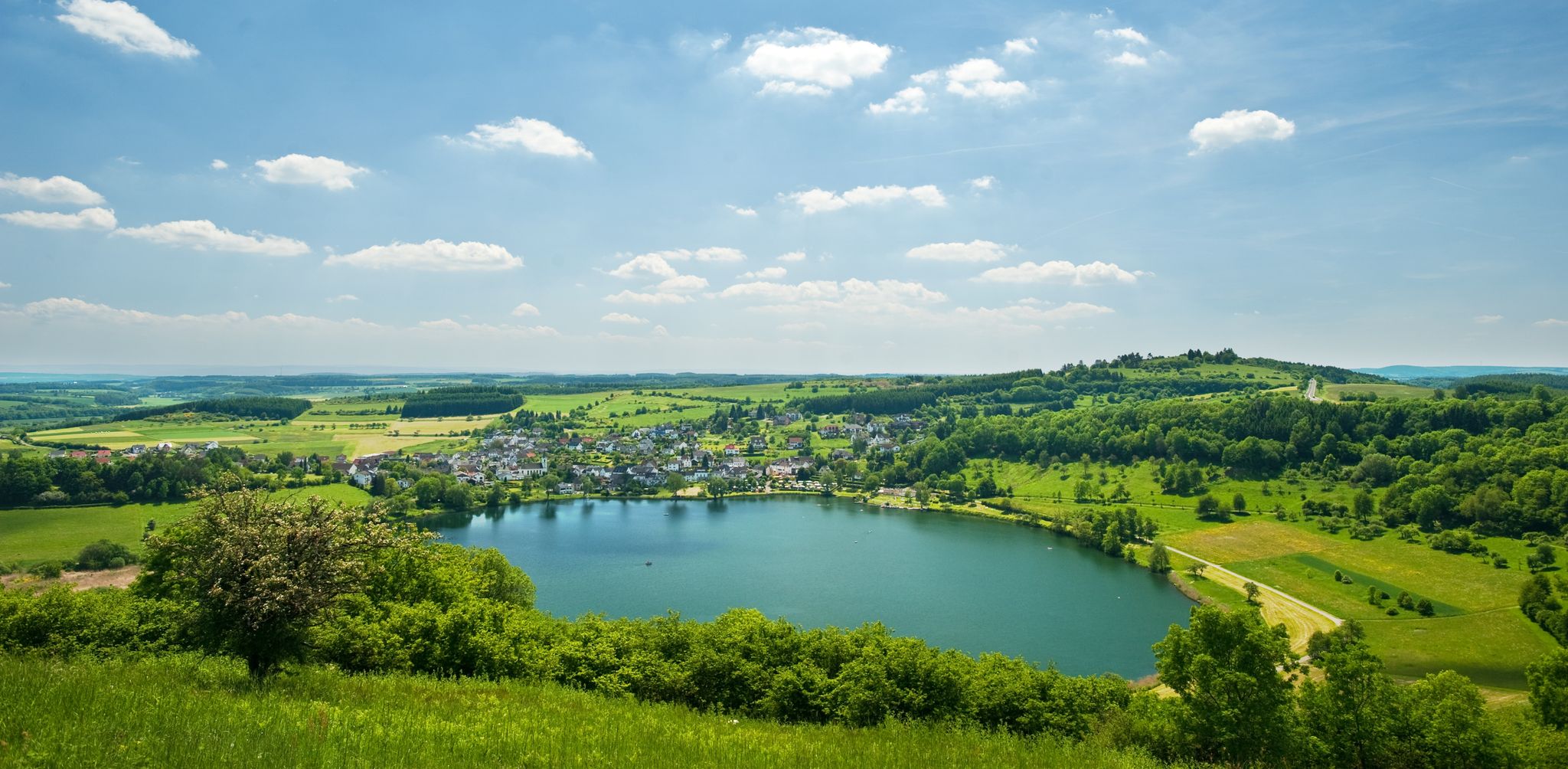
Lava pits & fairytale lakes – hiking through Vulkaneifel in Germany
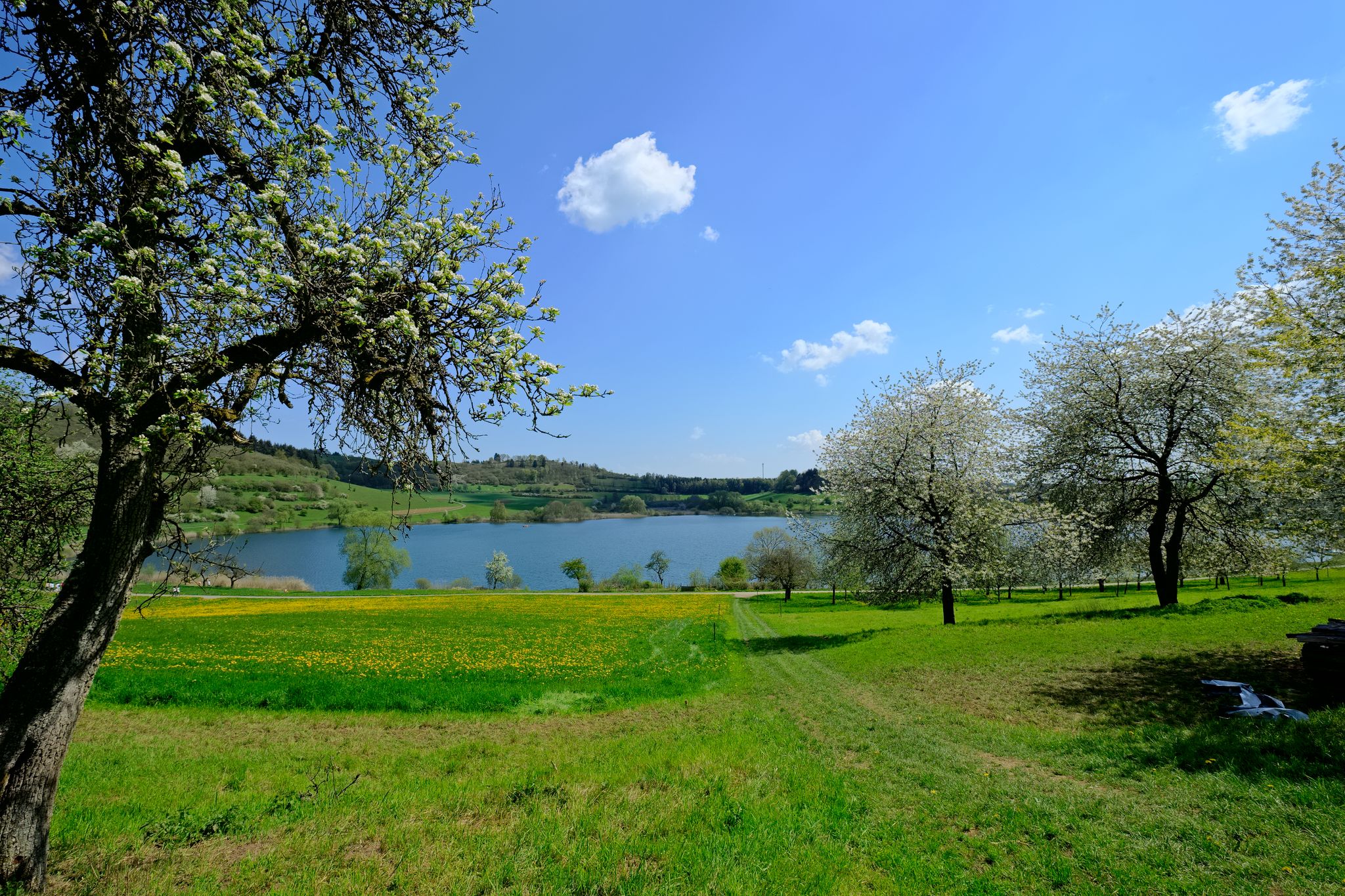
4 days of pure geological history — a tour through the Volcanic Eifel
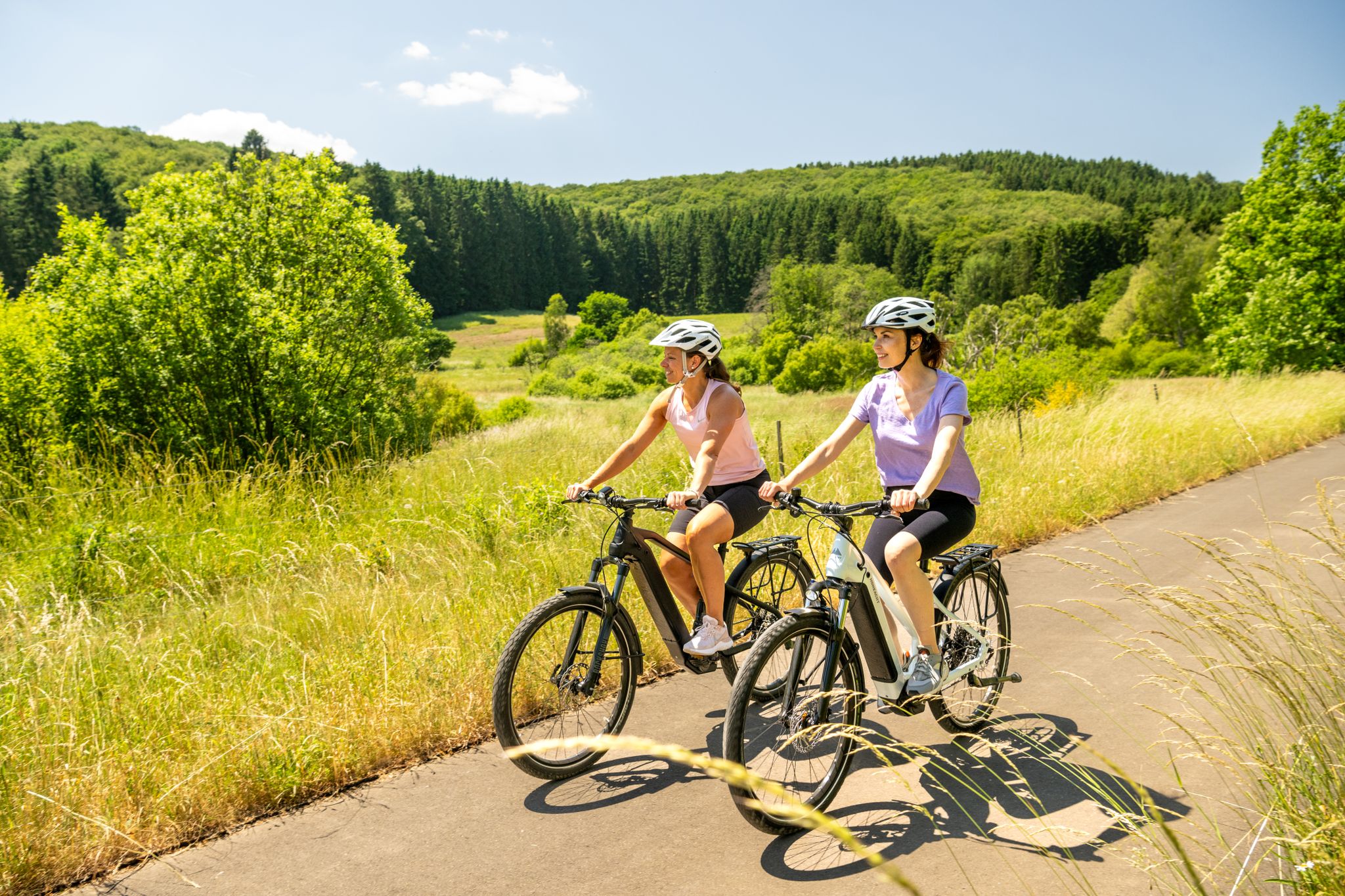
E-biking through the Volcanic Eifel
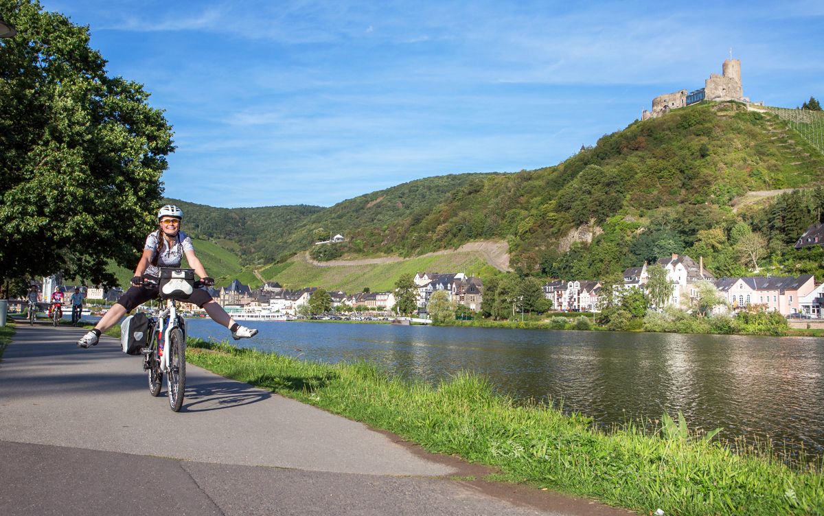
Cycling along the River Moselle in Germany – vineyards, forests & culture

There is no off-season — Germany's low mountain ranges
Other adventures around Daun


Tips from the Community

Wonderfully located, highly recommended.
0
0

But with a great natural swimming area and super water quality.
0
0

This Lieser bridge, in sight of the "Alte Eiche" (Old Oak), was destroyed in the flood on June 1st/2nd, 2016 and rebuilt the following year (Bridge completion: April 8th, 2017). Source: Information board directly at the bridge
1
0

The urge to "immerse oneself in nature" is not a modern trend that we humans of the 21st century are letting ourselves be led into – for example, with the komoot tour planner – but is based on much older behaviors and the ancient knowledge that it simply does good. Already in a "little book of reminders" written by Peter Rosegger (1843 to 1918), the exhortation reads: "We must once again properly bring out our healthy limbs and immerse ourselves in nature, rediscovering within ourselves the lost strengths that are ours. That... makes you fresh, makes you strong, and makes you wise. You learn a lot from it, especially how to live simply and become cheerful."
0
0

This bridge is not suitable for horses.
0
0

For information about the sour spring, see https://www.geopark-vulkaneifel.de/eifel/landschaft/mineralwasserquellen/schulldrees.html
0
0
Opposite the Sauerbrunnen (sour spring) used to stand the elementary school. All that remains of it is the name of the spring in the local dialect: Schulldrehs.
0
0

A very clean rest area with shelter. Located in the immediate vicinity of the hikers' parking lot. The cycle path from Waldköinigen to Hinterweiler also runs along here.
0
0
Frequently Asked Questions
How many hiking trails are accessible from bus stations around Daun?
There are over 120 hiking trails in the Daun region that are easily accessible from bus stations, offering a wide range of options for all skill levels. These include 61 easy, 57 moderate, and 11 difficult routes.
Are there easy hiking trails starting directly from Daun's bus stations?
Yes, many easy trails are accessible. For a gentle introduction to the volcanic landscape, consider routes that explore the immediate vicinity of the maars. These often feature relatively flat terrain and stunning views of the crater lakes.
Can I find longer, more challenging hikes accessible by bus in Daun?
Absolutely. For a more demanding experience, the Lieser Source Trail – Rengener Drees Mineral Spring loop from Nerdlen is a challenging 26 km route that can be reached by bus. It offers significant elevation changes and showcases the diverse Eifel landscape.
What kind of landscapes can I expect on bus-accessible hikes in Daun?
Hikes around Daun, accessible by bus, primarily traverse the unique volcanic landscape of the Vulkaneifel. You'll encounter stunning crater lakes (maars), dense forests, rolling hills, and picturesque river valleys like the Lieser. The region is part of a UNESCO Global Geopark, highlighting its geological significance.
Are there circular hiking routes available from bus stops in Daun?
Yes, many routes are designed as circular walks, allowing you to start and end at the same bus stop without needing to retrace your steps. An example is the moderate Dronke Tower on the Mäuseberg – Schalkenmehrener Maar loop from Daun, which offers a complete scenic experience.
What natural landmarks can I see on hikes accessible by bus in Daun?
The region is rich in natural landmarks. Many bus-accessible trails will lead you to the famous maars, such as the Schalkenmehrener Maar and the View of the Gemünden maar. You might also encounter the Dreimühlen Waterfall or explore the Buchenloch Cave.
Are there any historical sites or viewpoints accessible from bus station trails?
Yes, several trails offer access to historical sites and panoramic viewpoints. The Dronke Tower on the Mäuseberg provides excellent views and is part of a bus-accessible loop. You can also find routes that pass by the Freudenkoppe Castle Ruins, offering a glimpse into the region's past.
Are the bus station hiking trails around Daun suitable for families?
Many trails are family-friendly, especially those around the maars which often have flatter sections and opportunities for picnics. The region also features the Wildlife and Adventure Park Daun, which can be a great addition to a family outing, though it might require a short walk from the nearest bus stop.
Can I bring my dog on these bus-accessible hiking trails?
Most hiking trails in the Daun region are dog-friendly, provided your dog is kept on a leash, especially in nature reserves or near livestock. Always check local signage for specific restrictions, but generally, your canine companion is welcome to explore the volcanic landscapes with you.
What is the best time of year for hiking near Daun bus stations?
Spring (April-May) offers blooming wildflowers and fresh greenery, while autumn (September-October) provides vibrant fall colors and pleasant temperatures. Summer is also popular, especially for trails around the maars where swimming is possible. Winter hikes can be beautiful, but some paths might be icy or muddy.
Are there hikes from Daun bus stations with cafes or restaurants nearby?
Yes, many routes, particularly those passing through or near villages and towns, offer opportunities to stop at cafes or restaurants. Trails around the larger maars like Schalkenmehren often have establishments where you can enjoy refreshments and local cuisine.
What do other hikers enjoy the most about hiking in Daun?
The Daun region is highly rated by the komoot community, with an average score of 4.55 stars. Reviewers often praise the unique volcanic landscape, the stunning views of the maars, and the well-maintained trails. The accessibility by public transport is also frequently highlighted as a major convenience.
Are there any trails that offer panoramic views of the Vulkaneifel?
Absolutely. The View from Wachtberg – Ernstberg loop from Waldkönigen is a moderate trail that provides expansive views of the surrounding volcanic hills. Another excellent option is the View from Wachtberg – Ernstberg loop from Steinborn, which also offers breathtaking panoramas.
Most popular routes around Daun
Most popular attractions around Daun

Get inspired with the komoot mobile app


Explore more
Browse the best Hikes in other regions.
