The best hikes from bus stations around Bad Blankenburg
4.7
(7702)
27,092
hikers
109
hikes
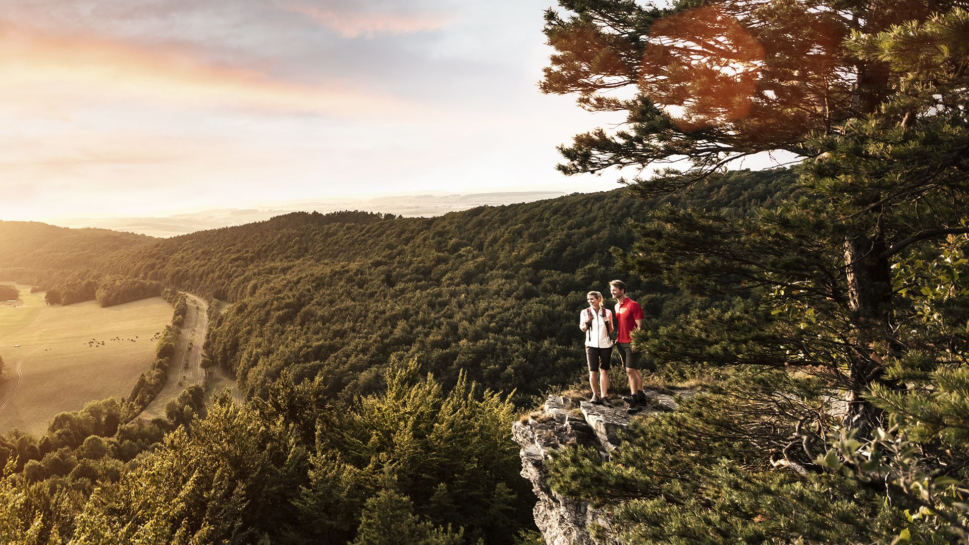
Hiking around Bad Blankenburg, a spa town in Thuringia, Germany, offers diverse landscapes characterized by forests, the Schwarza River, and historical sites. The region provides a varied backdrop for outdoor activities, with trails leading through natural features and past historical attractions. This area, part of the Thuringian Forest, features a mix of terrain, including river valleys and elevated viewpoints.
Best bus station hiking trails around Bad Blankenburg
- The most popular bus station hiking route is Barop Tower – Fröbelblick Viewpoint…
Last updated: May 14, 2026
4.8
(121)
373
hikers
11.8km
03:29
330m
330m
Moderate hike. Good fitness required. Easily-accessible paths. Suitable for all skill levels.
4.9
(100)
311
hikers
13.2km
03:53
380m
380m
Moderate hike. Good fitness required. Easily-accessible paths. Suitable for all skill levels.

Sign up for free
4.8
(58)
181
hikers
Moderate hike. Good fitness required. Easily-accessible paths. Suitable for all skill levels.
4.8
(29)
127
hikers
Easy hike. Great for any fitness level. Easily-accessible paths. Suitable for all skill levels.
4.9
(15)
57
hikers
11.0km
03:00
170m
170m
Moderate hike. Good fitness required. Easily-accessible paths. Suitable for all skill levels.
Get access to more routes and recommendations from other explorers.
Sign up for free
Already have an account?
Our route recommendations are based on thousands of hikes, rides, and runs completed by other people on komoot.
Start today with a free account
Your next adventure awaits.
Login or Signup
Popular around Bad Blankenburg



Tips from the Community

Beautiful view of the wide countryside while descending a narrow trail
9
0

Schwarzburg Castle offers an exciting blend of history, impressive architecture, and beautiful nature. Don't miss the Imperial Hall with its imperial portraits, the Princely Armory with its unique collection of weapons, and the magnificent view of the Schwarza Valley.
1
0

The Hünenkuppe is located in the Schwarzatal and is 788 meters above sea level near Oberweißbach. It is a popular hiking destination and various hiking trails lead up to the panoramic mountain.
12
1
The Kuss-Steg, also called the Kissing Bridge, is located at the Chrysopaswehr and is a popular attraction in Bad Blankenburg. It is part of the town's history and is often used by young couples for a first date. The footbridge was recently renovated to restore its original beauty.
12
1
The old stable at Eberstein Castle is a historic building. It was built in the 18th century and originally served as a stable for the horses of the ducal court. A simple but elegant building with a gable roof and a sandstone facade.
12
1
It was built at the beginning of the 20th century and served to regulate the water level of the Schwarza and to create an artificial tributary, the Lache.
13
1
Frequently Asked Questions
How many bus station hiking trails are available around Bad Blankenburg?
There are over 100 hiking routes accessible directly from bus stations around Bad Blankenburg, offering a wide range of options for all skill levels. You'll find 58 easy, 49 moderate, and 2 difficult trails to explore.
Are there family-friendly hiking routes accessible by bus in Bad Blankenburg?
Yes, many routes are suitable for families. The region offers numerous easy paths with gentle terrain. For example, the Eberstein Hunting Lodge – Eberstein Castle Ruins loop from Bad Blankenburg is an easy 5.2 km route with moderate elevation, perfect for a family outing. The Nature Park Information Center in the area can also provide advice on accessible paths.
What kind of terrain can I expect on bus-accessible hikes near Bad Blankenburg?
The terrain around Bad Blankenburg is diverse, ranging from accessible paths through forests to more challenging routes with varied elevation. You'll encounter the picturesque Schwarza River valley, dense woodlands of the Thuringian Forest, and some trails leading to viewpoints. Many paths are well-maintained, but some can be natural and uneven, especially on moderate to difficult routes.
Are there any circular hiking routes starting from bus stations?
Yes, circular routes are a popular option. For instance, the Barop Tower – Fröbelblick Viewpoint loop from Bad Blankenburg is a moderate 11.8 km circular hike offering scenic views. Another option is the Baropturm Observation Tower – Barop Tower loop from Großgölitz, which is a 13.1 km moderate loop.
What natural features can I see on these hikes?
The region is rich in natural beauty. You can explore the Schwarza River with its unique whirlpools, such as the Strudeltöpfe in the Schwarzatal. The Schwarzatal Valley itself is a prominent feature, offering scenic views and a cycling path. While the Rudolstadt Riviera sandstone cliffs are currently closed, the area still boasts diverse landscapes of forests and water.
Are there historical landmarks or attractions along the bus station hiking trails?
Absolutely. Many trails incorporate historical sites. The Eberstein Castle Ruins – Eberstein Hunting Lodge loop from Bad Blankenburg takes you past the historic Eberstein Hunting Lodge, a unique Moorish-style building. While not directly on a bus station route listed, the fine ruins of Burg Greifenstein are also a significant historical landmark in the area.
What do other hikers say about the trails around Bad Blankenburg?
The hiking trails around Bad Blankenburg are highly regarded by the komoot community, with an average rating of 4.7 out of 5 stars from over 7,500 ratings. Reviewers often praise the quiet woodlands, the varied landscapes of the Schwarza Valley, and the well-marked paths that make navigation easy.
Can I find viewpoints on hikes accessible by bus?
Yes, several routes lead to excellent viewpoints. The Barop Tower – Fröbelblick Viewpoint loop from Bad Blankenburg specifically highlights a viewpoint. Additionally, the Schneiderfelsen - Touring stamp 169 is a notable viewpoint in the wider region that can be incorporated into longer hikes.
Are there any routes that follow the Schwarza River?
Yes, the Schwarza River is a central feature of the region. The Schwarza River – Schwarzburg Castle loop from Dittersdorf is a moderate 10.9 km route that follows the river, offering beautiful riverside scenery and leading towards Schwarzburg Castle.
What is the best time of year to hike around Bad Blankenburg?
The region is beautiful year-round, but spring and autumn offer particularly pleasant hiking conditions with mild temperatures and vibrant foliage. Summer is also popular, though some trails might be busier. Winter hiking is possible, especially on well-maintained paths, but requires appropriate gear for potentially snowy or icy conditions.
Are there any easy routes for beginners or those looking for a short walk?
Certainly. Many of the 58 easy routes are perfect for beginners or a leisurely stroll. The Eberstein Hunting Lodge – Eberstein Castle Ruins loop from Bad Blankenburg is an easy 5.2 km route that can be completed in under two hours, making it ideal for a shorter, less strenuous walk.
Most popular routes around Bad Blankenburg
Most popular attractions around Bad Blankenburg

Get inspired with the komoot mobile app


Explore more
Browse the best Hikes in other regions.
