The best hikes from bus stations around Albstadt
4.6
(10225)
38,321
hikers
223
hikes
Bus station hiking trails around Albstadt offer access to the diverse landscapes of the Swabian Jura mountains. The region is characterized by significant elevation changes, ranging from 614 meters to 966 meters above sea level, and features dense forests, river valleys, and dramatic rock formations. Hikers can explore a variety of terrains, including juniper heaths and steep slopes that provide panoramic views.
Best bus station hiking trails around Albstadt
- The most popular bus station hiking route is Traufgang Zollernburg-Panorama in…
Last updated: August 17, 2026
4.8
(1070)
3,832
hikers
16.1km
04:29
300m
300m
Moderate hike. Good fitness required. Easily-accessible paths. Suitable for all skill levels.
4.7
(72)
306
hikers
10.7km
03:12
300m
300m
Moderate hike. Good fitness required. Mostly accessible paths. Sure-footedness required.

Sign up for free
4.8
(42)
173
hikers
Easy hike. Great for any fitness level. Easily-accessible paths. Suitable for all skill levels.
4.9
(21)
96
hikers
5.52km
01:41
170m
170m
Moderate hike. Great for any fitness level. Mostly accessible paths. Sure-footedness required.
4.6
(45)
170
hikers
7.56km
02:15
230m
230m
Moderate hike. Good fitness required. Easily-accessible paths. Suitable for all skill levels.
Get access to more routes and recommendations from other explorers.
Sign up for free
Already have an account?
Our route recommendations are based on thousands of hikes, rides, and runs completed by other people on komoot.
Start today with a free account
Your next adventure awaits.
Login or Signup
Popular around Albstadt
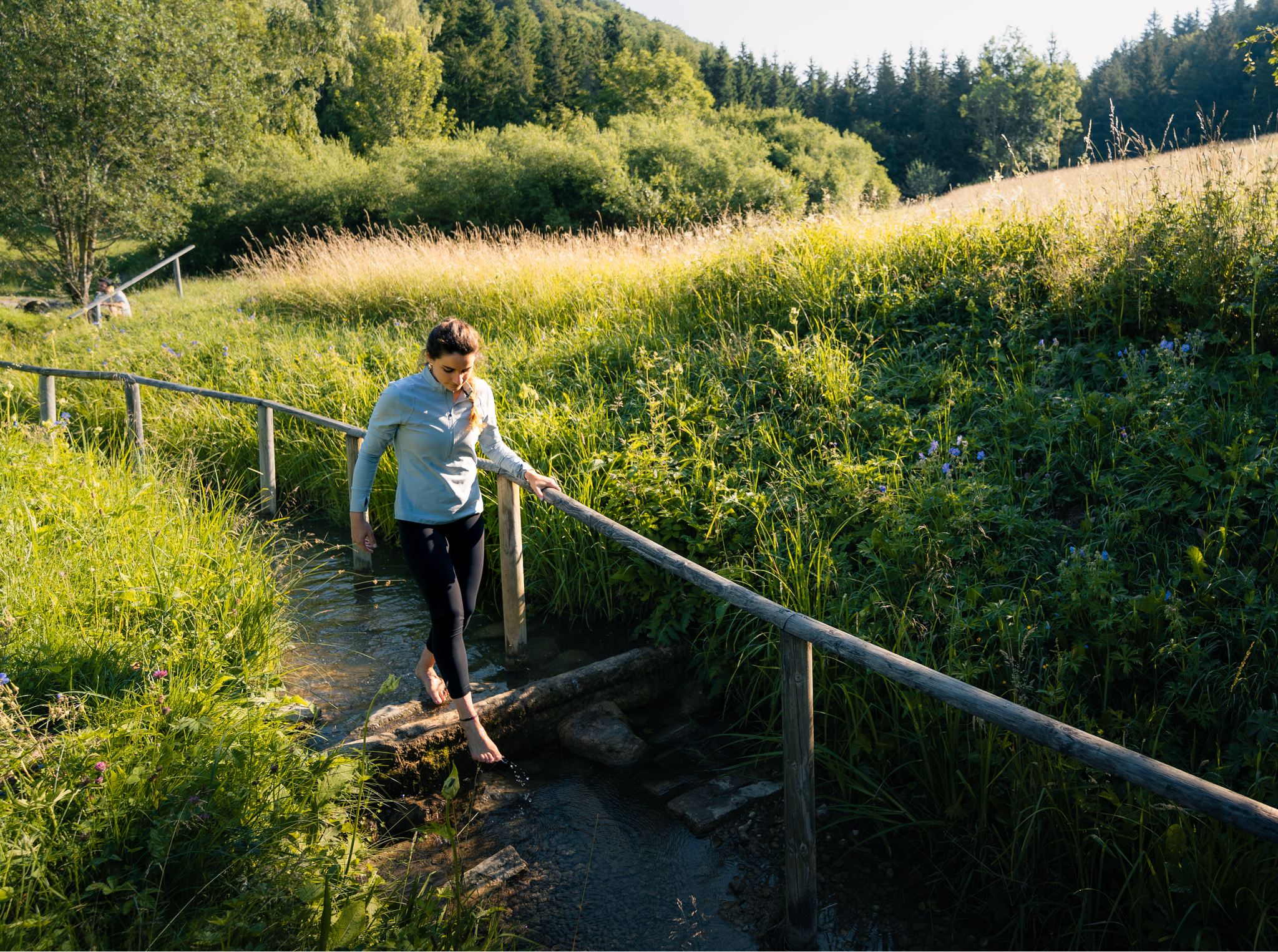
Hiking on the Swabian Alb with all your senses
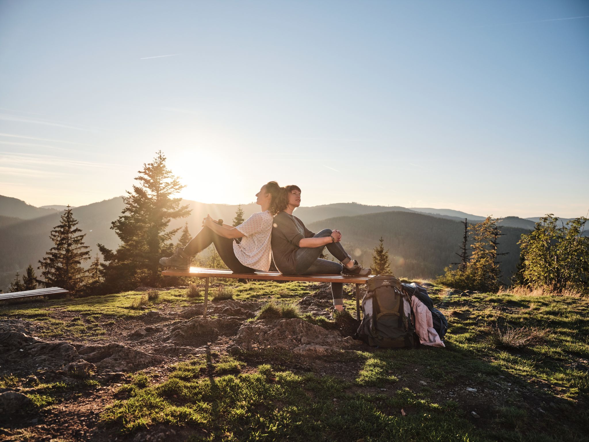
Hiking the Süden – between Black Forest, Lake Constance and Swabian Alb
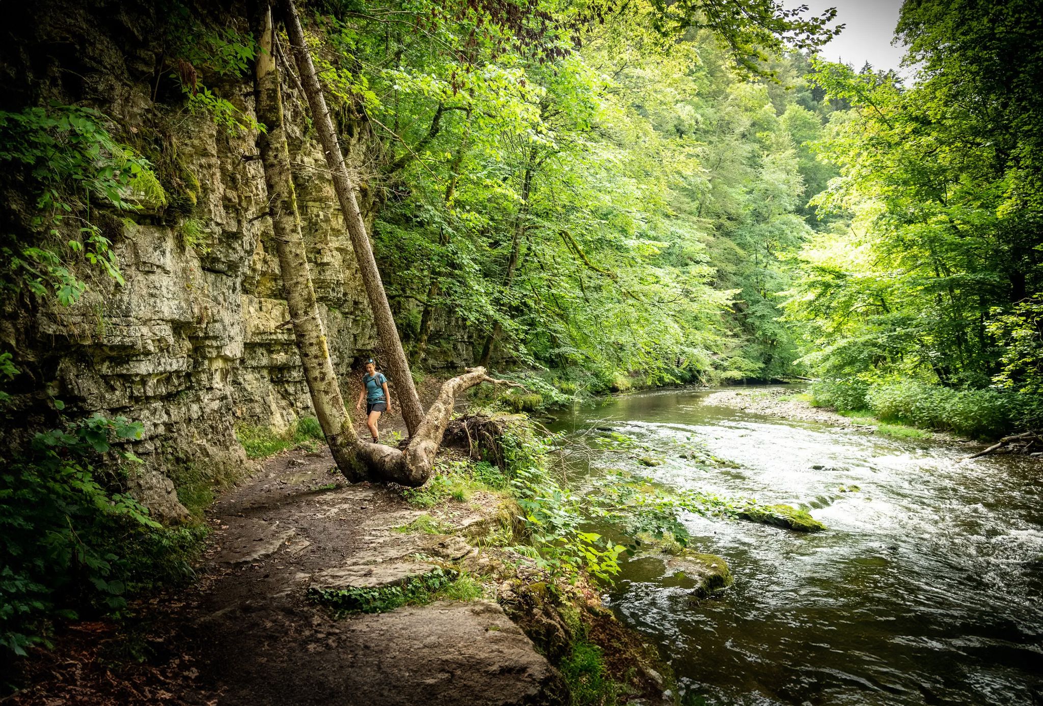
Wide views and wild valleys – the Black Forest and the Swabian Alb
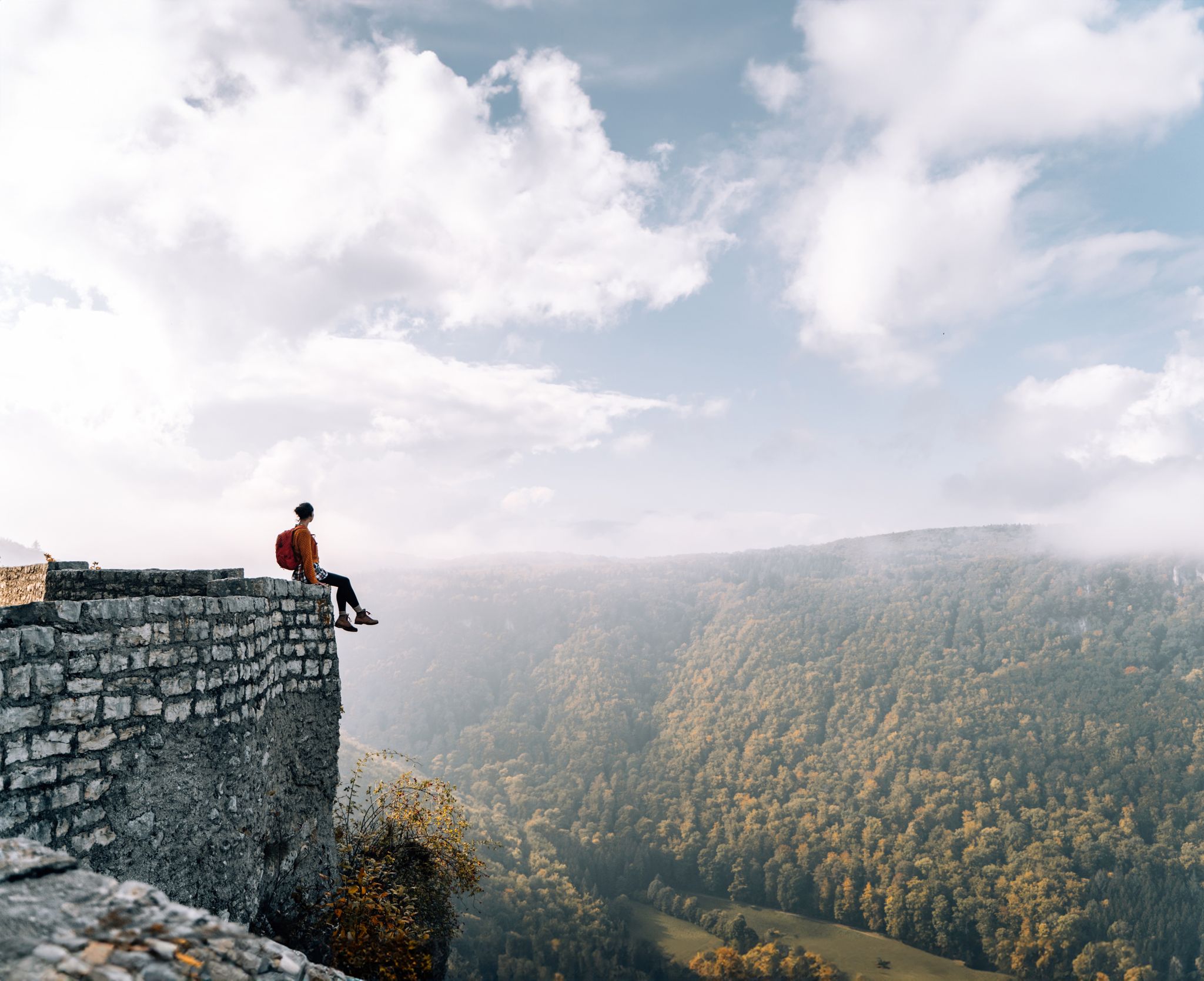
Fairytale hiking to the castles and palaces of the Swabian Alb
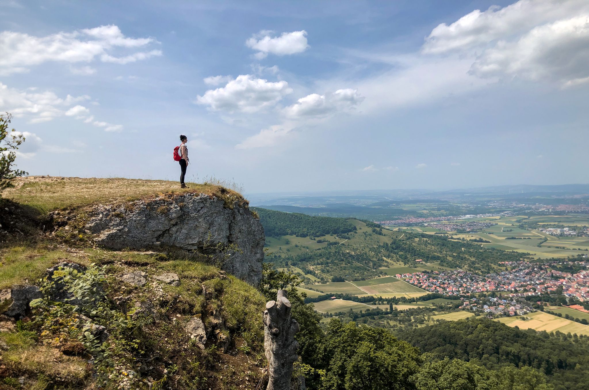
Hike Germany’s low mountains – far-reaching views in the Swabian Alb
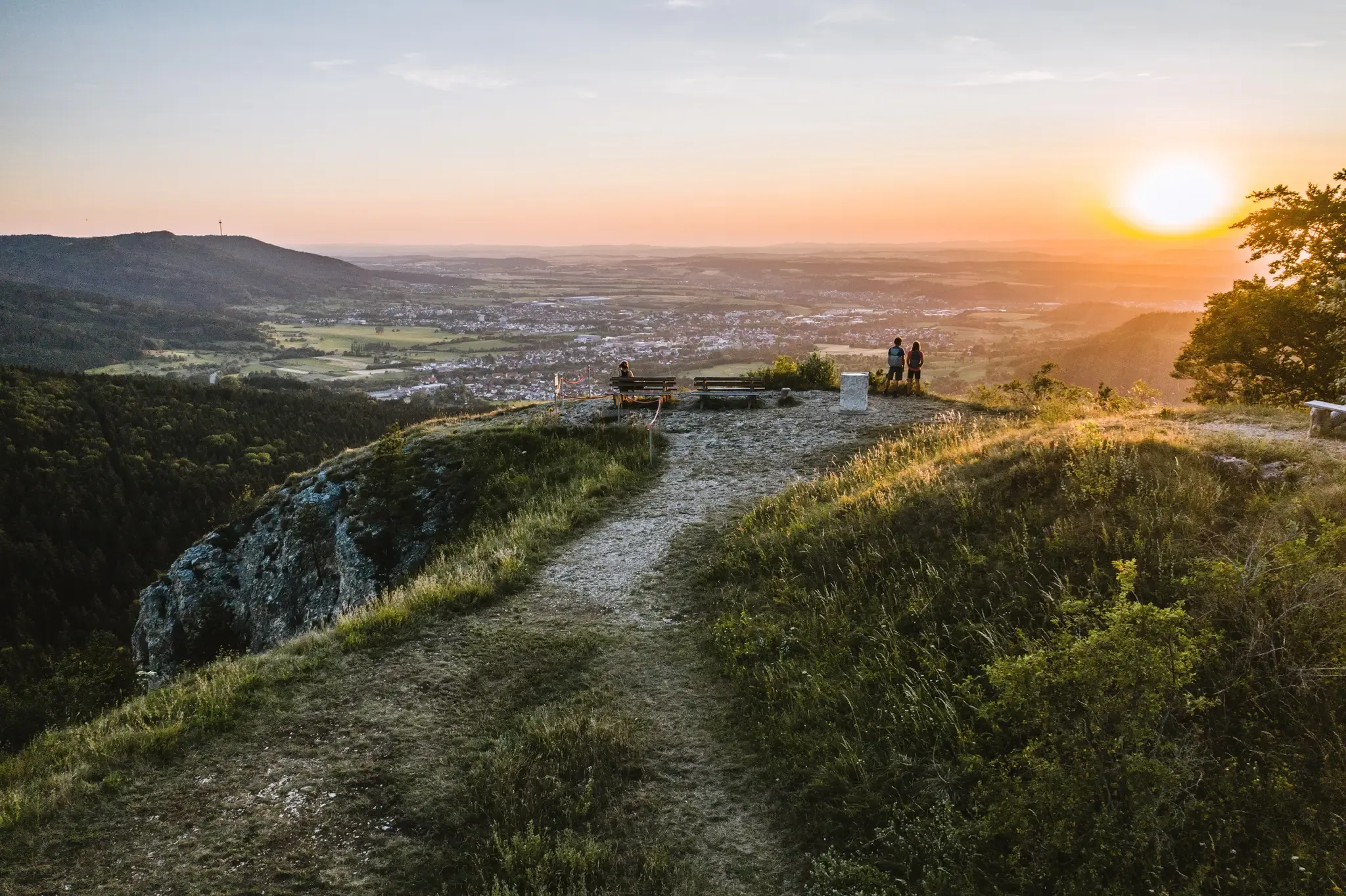
Discover the fascinating rocks and caves of Germany’s Swabian Alb
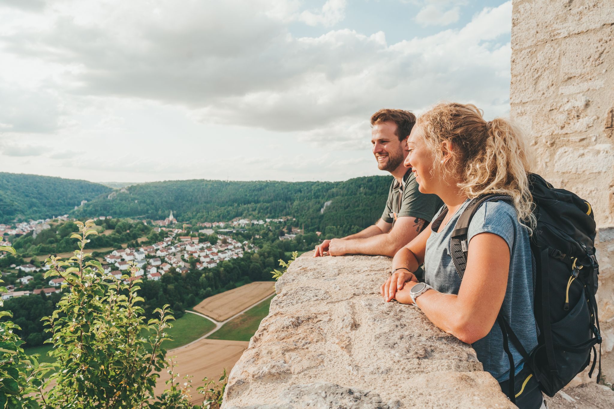
Hike Germany’s Swabian Alb – by bus and train
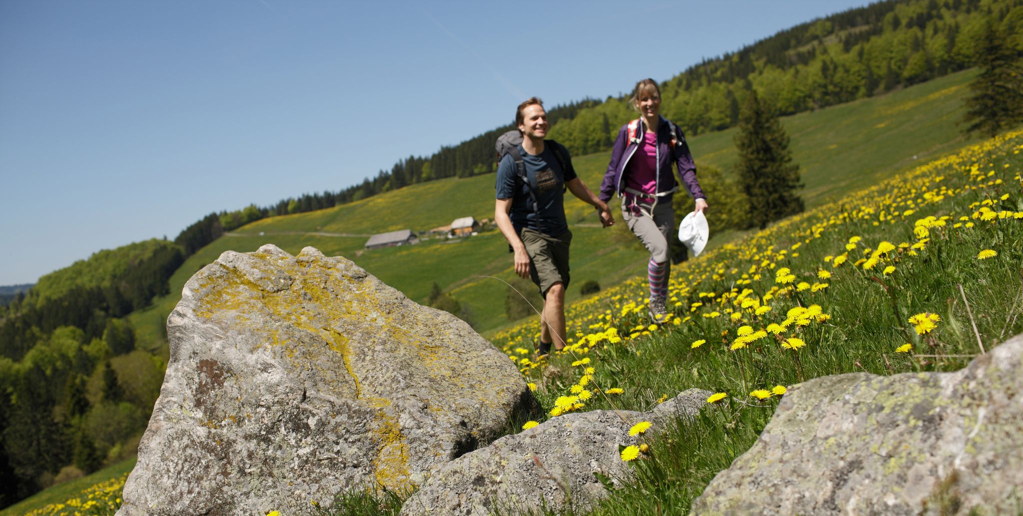
Spring in Germany’s Southwest – where hiking is best!
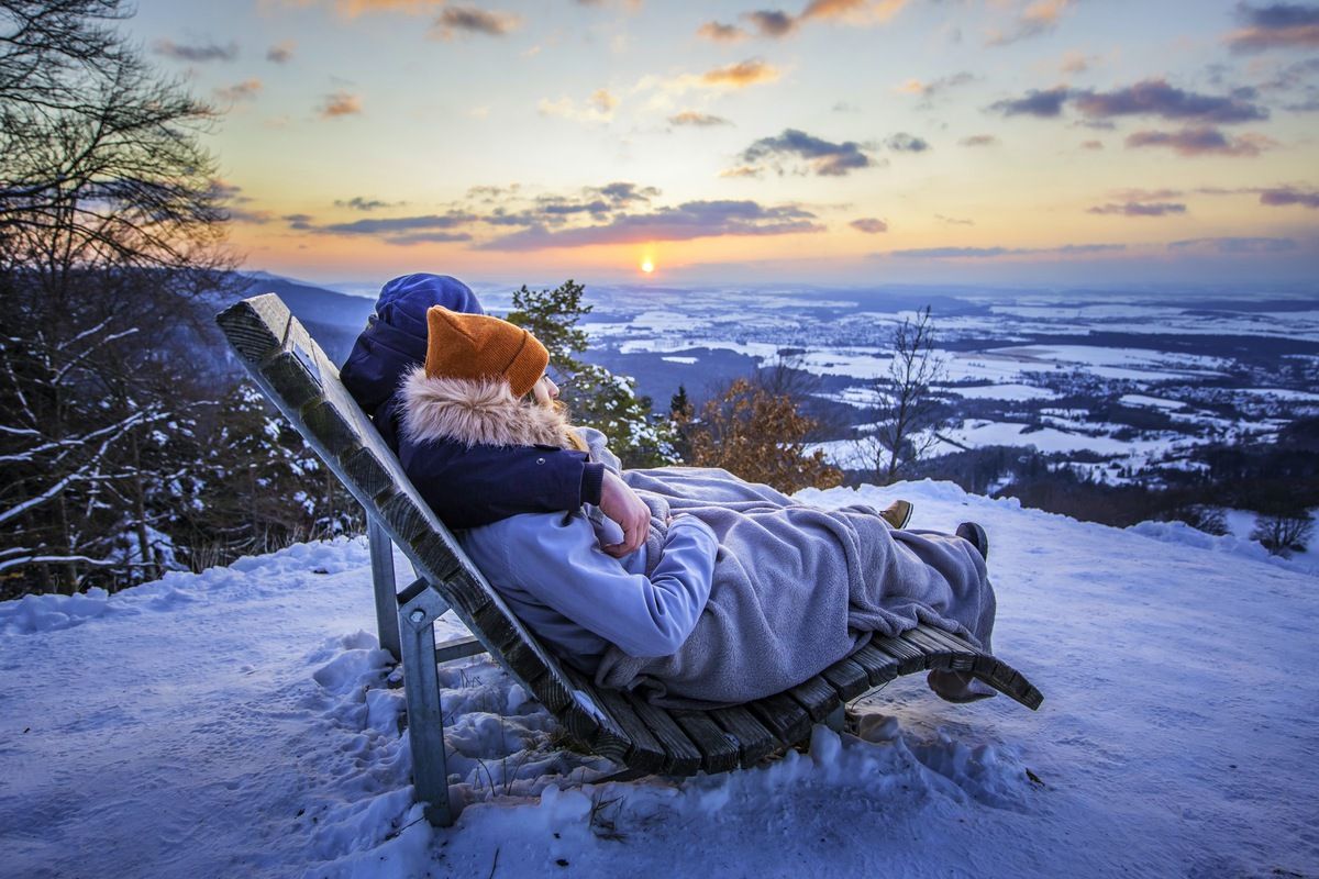
Winter wonderland — hiking in Germany’s Baden-Württemberg
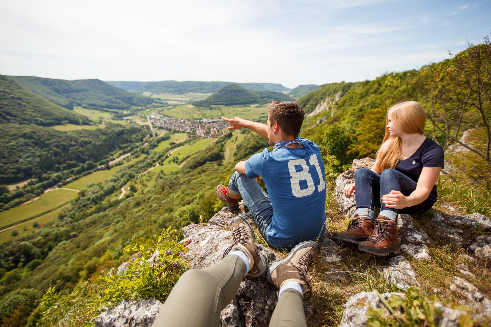
10 beautiful trails in the Swabian Jura for sporty hikers
Other adventures around Albstadt


Tips from the Community

Overall nice varied route guidance over 10.5 km
0
0

A very beautiful beech forest, a highly recommended hike.
0
0

A geological peculiarity is included in the tour.
8
0

Great view down to Tailfingen
0
0

Spectacular viewpoint on the Traufgang Wacholderhöhe premium hiking trail with panoramic views over Albstadt-Tailfingen. The Tailfinger Castle viewpoint is located on the Traufgang Wacholderhöhe premium hiking trail, at approximately 937 m above sea level. Where powerful castle lords once resided in the Middle Ages, hikers today enjoy a fabulous view of Albstadt-Tailfingen. Various seating areas also invite you to linger. Very close to the viewpoint is a large information board with a wealth of interesting information about the former Tailfinger Castle. Remaining traces of the medieval castle walls, which were once 7 meters long and 5 meters wide, remain today. Where might the romantic castle chapel have been? Source: https://www.zollernalb.com/attraktionen/aussichtspunkt-tailfinger-schloss-0dba3b81e3
0
0
Tailfingen Castle - 937 m above sea level - Viewpoint - Albstadt-Tailfingen - Zollernalb District Beautiful view 937 m above sea level - Prehistoric rampart with a ruined medieval castle.
0
0

Tailfingen Castle If you're looking for ruins here, you're looking in vain. We didn't see any. But you do get a great view from here.
0
0

One can easily imagine that Stone Age people lived here
1
0
Frequently Asked Questions
How many bus station hiking trails are available in Albstadt?
There are over 200 hiking routes in Albstadt that are easily accessible by bus, offering a wide range of experiences for all skill levels. You'll find approximately 100 easy routes, over 120 moderate routes, and a few challenging options.
What kind of terrain can I expect on bus-accessible hikes in Albstadt?
Albstadt, situated in the Swabian Jura, offers incredibly diverse terrain. You can expect routes that traverse dense forests, rolling hills, and unique juniper heaths. Many trails follow the 'Trauf' – the edge of the plateau – providing dramatic rock formations and steep slopes with stunning panoramic views.
Are there any circular routes accessible from bus stations in Albstadt?
Yes, many of the bus-accessible routes in Albstadt are circular, allowing you to start and end your hike at the same bus stop. An example is the moderate route, Path to the Zeller Horn view – View of Hohenzollern Castle loop from Tailfinger Ried, which offers spectacular vistas.
What are some notable viewpoints or landmarks I can see on these trails?
Albstadt's trails are rich with impressive viewpoints. You can enjoy the famous view of Hohenzollern Castle from the Zeller Horn, or experience the natural monument of the Hangender Stein Viewpoint. The Raichberg Tower also offers expansive regional views. Many routes, like the Traufgang Zollernburg-Panorama in Albstadt, are specifically designed to showcase these scenic highlights.
Are there family-friendly hiking options accessible by bus in Albstadt?
Absolutely. Albstadt offers numerous family-friendly routes. Many of the easier and moderate trails are suitable for families, often featuring well-marked paths and interesting natural features. The region's diverse landscapes provide engaging experiences for children and adults alike.
What is the best time of year to go hiking in Albstadt?
The spring and autumn months are particularly pleasant for hiking in Albstadt. In spring, the flora is in full bloom, while autumn brings vibrant foliage colors. The weather during these seasons is generally mild, making for comfortable hiking conditions. However, the well-maintained trails are enjoyable year-round.
Can I bring my dog on bus-accessible hiking trails in Albstadt?
Most hiking trails in Albstadt are dog-friendly, allowing you to enjoy the beautiful Swabian Jura landscape with your canine companion. Always keep your dog on a leash, especially in nature reserves or near wildlife, and be mindful of local regulations. Remember to carry water for your dog, especially on longer routes.
Are there any shorter, moderate hikes from a bus station?
Yes, for a moderate hike that's not too long, consider the Trail to Meinetshaldenfelsen – Trail to Tailfingen Castle loop from VVG der Stadt Albstadt. It's about 7.5 km and offers a good balance of challenge and scenic beauty, easily reachable by bus.
What do other hikers say about the bus station trails in Albstadt?
The bus station trails in Albstadt are highly rated by the komoot community, with an average score of 4.6 out of 5 stars from over 9,500 ratings. Hikers frequently praise the excellent signage, the stunning panoramic views, and the diverse natural beauty of the Swabian Jura.
Are there any trails that offer a mix of forest and open views?
Many trails in Albstadt provide a varied landscape. For example, the Traufgängerle Witch's Kitchen – View of Ebingen loop from Ebingen offers a delightful mix of dense forest sections and open views over Ebingen, providing a dynamic hiking experience.
Are there any shorter, easy-to-moderate routes for a quick outing?
For a shorter, accessible hike, the Kreuzbühl – Heidenstein Cave loop from Ebingen is a great option. At around 5.6 km, it's a moderate route that can be completed in a few hours and is conveniently located near bus stops in Ebingen.
Most popular routes around Albstadt
Most popular attractions around Albstadt

Get inspired with the komoot mobile app


Explore more
Browse the best Hikes in other regions.
