The best hikes from bus stations around Andernach
4.5
(5558)
18,992
hikers
123
hikes
Bus station hiking trails around Andernach navigate a diverse landscape at the confluence of the Rhine River and the volcanic Eifel region. The area features river valleys, dense forests, vineyards, and unique volcanic formations including ancient lava flows and maars. This geographical variety provides a range of terrain for hikers.
Best bus station hiking trails around Andernach
- The most popular bus station hiking route is Trass Caves Brohltal – Waterfall in the Wolfsschlucht loop from Burgbrohl, a 5.0 miles (8.1 km) trail that takes 2 hours 18 minutes to complete. This route explores the Wolfsschlucht gorge and Trass Caves.
- Another top favourite among local hikers is Roman Quarry Hohe Buche – Himmelsleiter Trail loop from Kell, a difficult 11.2 miles (18.1 km) path. It features significant elevation gain and varied terrain.
- Local hikers also love the Waterfall in the Wolfsschlucht – Trass Caves Brohltal loop from Kell, a 5.0 miles (8.0 km) trail leading through the Wolfsschlucht gorge, often completed in about 2 hours 22 minutes.
- Hiking around Andernach is defined by its volcanic landscapes, Rhine River views, and forested valleys. The network offers options for various ability levels, from easy riverside paths to more challenging ascents.
- The routes in Andernach are highly rated by the komoot community with an average score of 4.5 stars from more than 5,600 reviews. More than 21,000 hikers have used komoot to explore Andernach's varied terrain.
Last updated: July 10, 2026
4.8
(127)
411
hikers
18.3km
05:32
600m
600m
Hard hike. Very good fitness required. Easily-accessible paths. Suitable for all skill levels.
4.6
(44)
144
hikers
7.99km
02:23
210m
210m
Moderate hike. Good fitness required. Mostly accessible paths. Sure-footedness required.

Sign up for free
4.6
(31)
87
hikers
6.26km
01:45
130m
130m
Easy hike. Great for any fitness level. Easily-accessible paths. Suitable for all skill levels.
4.3
(30)
195
hikers
7.53km
02:07
160m
160m
Moderate hike. Good fitness required. Easily-accessible paths. Suitable for all skill levels.
4.5
(17)
60
hikers
Easy hike. Great for any fitness level. Easily-accessible paths. Suitable for all skill levels.
Get access to more routes and recommendations from other explorers.
Sign up for free
Already have an account?
Our route recommendations are based on thousands of hikes, rides, and runs completed by other people on komoot.
Start today with a free account
Your next adventure awaits.
Login or Signup

Other adventures around Andernach


Tips from the Community

The wild and romantic Wolfsschlucht gorge invites you on an excursion. The Tönissteiner Bach stream, which springs up shortly behind the village of Wassenach, first passes idyllically situated trout ponds, only to plunge several metres into the depths shortly thereafter, before finding its way wildly meandering through volcanic ash to the Brohlbach. The primeval forest atmosphere of the Wolfsschlucht gorge, with its impressive rock formations, small wooden bridges, and picturesque waterfalls, invites young and old to explore the earth. https://www.eifel.info/pois/wolfsschlucht
0
0

best enjoyed from hiking trails or aboard the Vulkan-Expreß narrow-gauge railway https://www.rootinsurance.com.co
0
0
This place is great https://www.ez-passIL.com
0
0

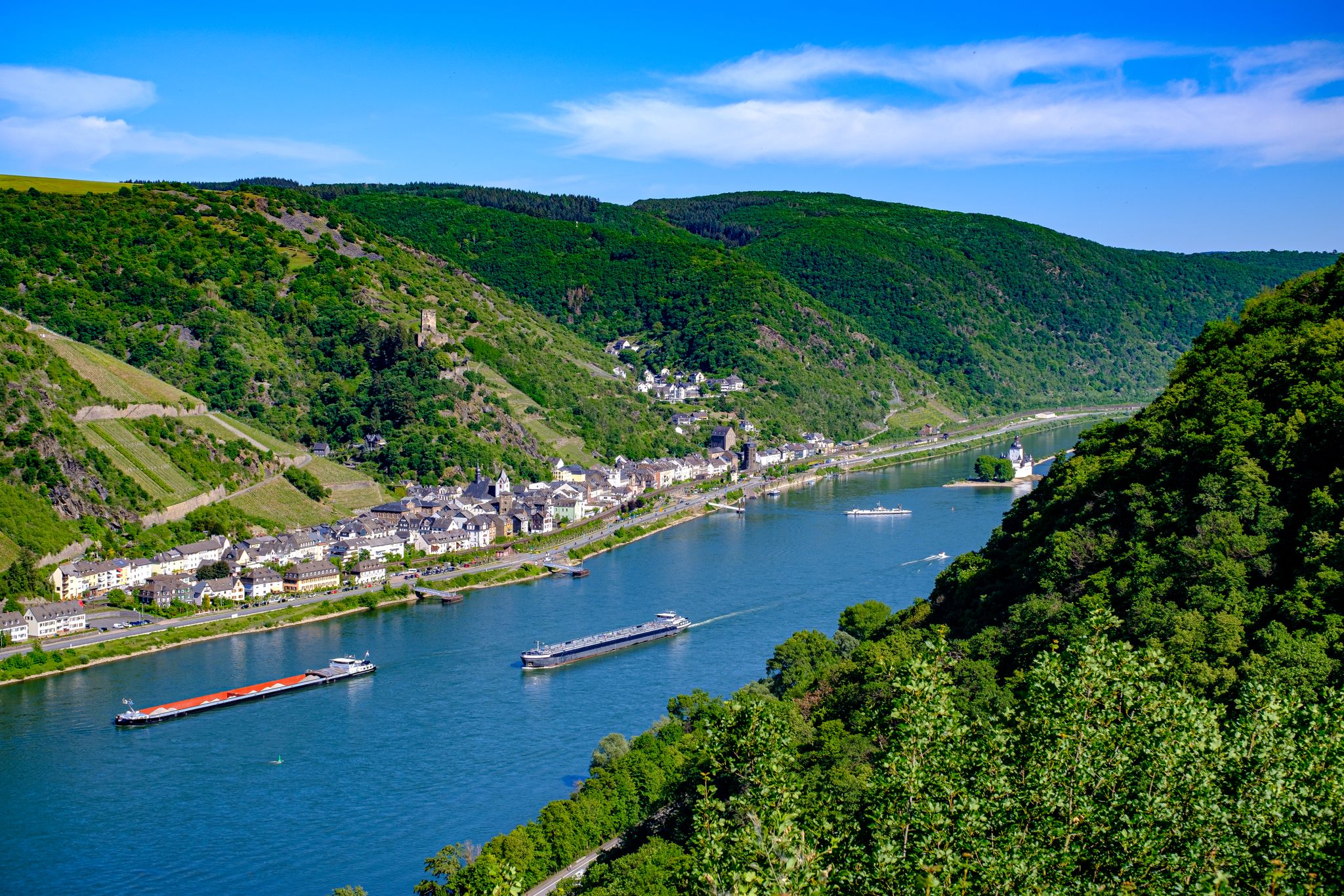
🌊💙Here, the Rhine Valley shows itself at its best: The viewing point is located high above the Rhine🌊 and you can enjoy a fantastic panorama🎨🖌.
5
1
Here the Rhine Valley shows its best side: The viewpoint is high above the Rhine 🌊 and offers a fantastic panorama 🎨🖌.
6
1

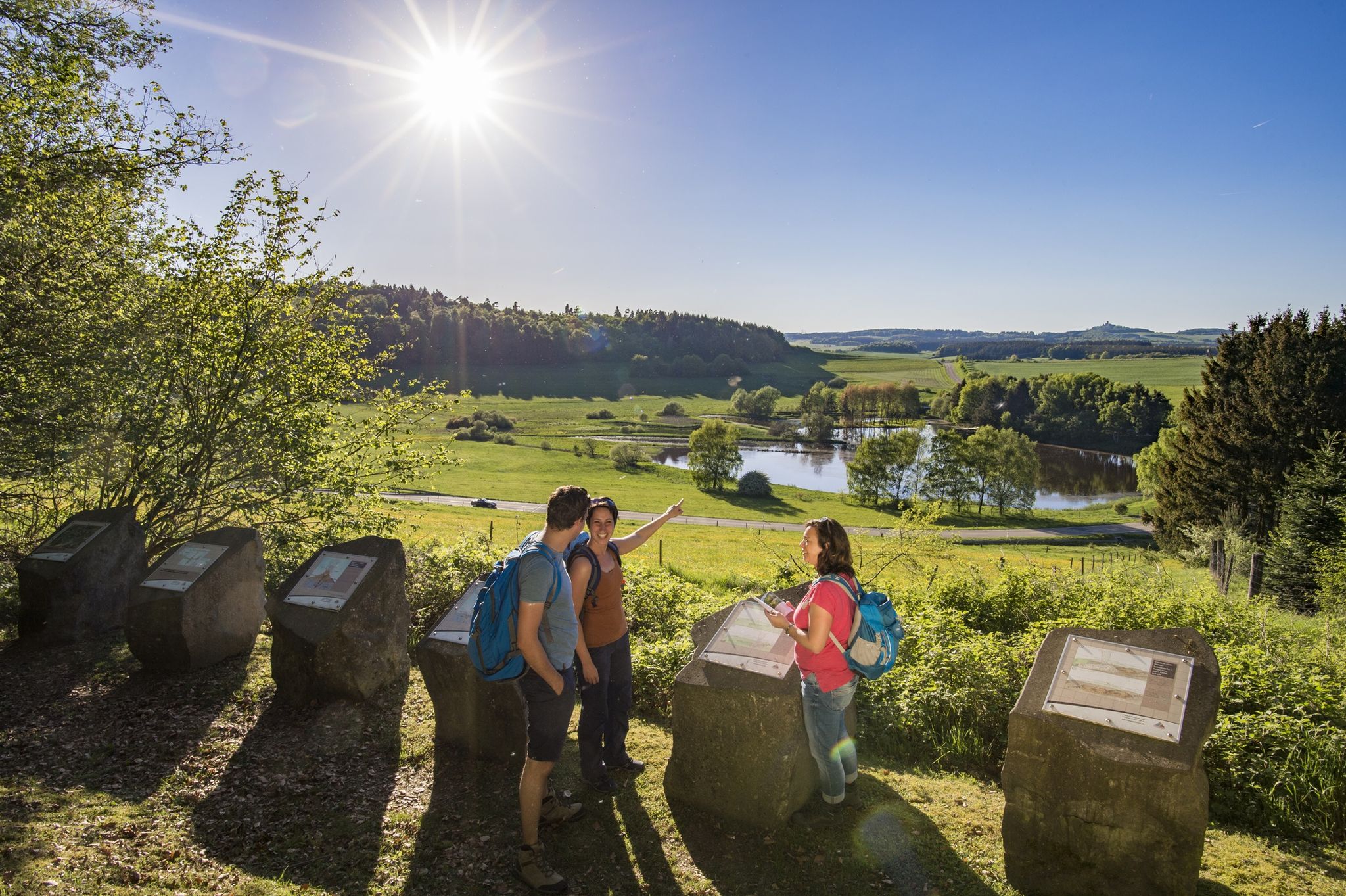
The site is called "Alte Eiche" (Old Oak). It was once a quarry, as evidenced by the many dumps, rubble, and other remains. Numerous information panels explain the craftsmanship of Roman times, as well as the formation of the site through volcanic activity.
2
0
Great views from the little rest house.
2
0

The Ponte Bach Trail near Andernach-Kell is an idyllic hiking trail. A panoramic bench amidst the densely wooded landscape invites you to linger.
6
0
Frequently Asked Questions
How many bus-accessible hiking trails are there around Andernach?
There are over 120 hiking trails around Andernach that are easily accessible by public transport, particularly bus. This guide focuses specifically on routes designed to start and end conveniently near bus stations, allowing you to explore the region without a car.
Are there family-friendly hiking options accessible by bus in Andernach?
Yes, Andernach offers several family-friendly hiking options that are easily reached by bus. Many routes feature gentle terrain and interesting natural sights. The region's 'Water & Forest' Circular Trail, for example, is particularly suitable for families, combining natural beauty with interactive learning.
Can I bring my dog on these bus-accessible hikes?
Most hiking trails around Andernach are dog-friendly, provided your dog is kept on a leash, especially in nature reserves or near wildlife. Always ensure you carry water for your pet and clean up after them. The diverse landscapes, from riverside paths to forest trails, offer plenty of enjoyment for you and your canine companion.
Which bus-accessible trails offer the best scenic views?
The region around Andernach is known for its stunning vistas. For panoramic views of the Rhine Valley, consider trails that ascend to higher plateaus. The Roman Quarry Hohe Buche – Himmelsleiter Trail loop from Kell, though challenging, offers expansive views. Additionally, the 'Traumpfädchen Kleiner Stern' is known for breathtaking views of the Rhine.
Are there circular hiking routes that start and end at a bus stop?
Yes, many of the bus-accessible routes around Andernach are designed as circular trails, meaning you can start and finish your hike at the same bus stop. This makes planning your trip by public transport very convenient. An example is the Trass Caves Brohltal – Waterfall in the Wolfsschlucht loop from Burgbrohl.
What natural attractions can I see on hikes accessible by bus?
Hikes accessible by bus around Andernach offer a rich variety of natural attractions. You can explore the unique volcanic landscapes of the Eifel, including ancient lava flows and dramatic rock formations. The Trass Caves Brohltal and the primeval forest atmosphere of the Wolfsschlucht gorge, featuring a waterfall and bubbling springs, are notable highlights. Many trails also offer views of the Rhine River.
Are there easy hikes for beginners or those looking for a relaxed walk?
Absolutely. Andernach offers a good selection of easy bus-accessible hikes perfect for beginners or those seeking a relaxed stroll. These trails often follow riverside paths or gentle forest routes. An example of an easy route is the Waterfall in the Wolfsschlucht – Trass Caves Brohltal loop from Burgbrohl, which is just over 6 km long.
What if I'm looking for a more challenging hike from a bus station?
For experienced hikers seeking a challenge, there are more demanding routes accessible by bus. These trails often involve significant elevation changes and cover longer distances. The Roman Quarry Hohe Buche – Himmelsleiter Trail loop from Kell is a difficult 18 km route with nearly 600 meters of ascent, offering a strenuous but rewarding experience.
When is the best time of year to enjoy bus-accessible hikes in Andernach?
The best seasons for hiking in Andernach are spring and autumn. During these times, the weather is typically mild and pleasant. Spring brings blooming nature, while autumn transforms the landscape with vibrant foliage, making for particularly scenic walks. Summer can also be enjoyable, but it's advisable to start early to avoid the midday heat.
Are there bus-accessible hikes that explore Andernach's volcanic landscape?
Yes, the region's unique volcanic heritage is a major draw. Many bus-accessible trails venture into the Volcanic Eifel, allowing you to witness ancient lava flows, maars, and distinctive rock formations. The 'Ettringer Bellerberg' volcano park adventure route, for instance, leads past these geological wonders, offering insights into the area's fiery past.
What do other hikers enjoy the most about hiking in Andernach?
The hiking trails around Andernach are highly rated by the komoot community, with an average score of 4.5 stars. Reviewers often praise the diverse landscapes, from the picturesque Rhine Valley to the fascinating volcanic Eifel, and the well-maintained paths. The convenience of accessing these trails via public transport is also frequently highlighted as a major benefit.
Most popular routes around Andernach
Most popular attractions around Andernach

Get inspired with the komoot mobile app


