The best traffic-free bike rides around Benediktbeuern
4.6
(256)
1,854
riders
66
rides
No traffic gravel bike trails around Benediktbeuern are found in the Bavarian Alpine foothills, characterized by diverse landscapes. The region features extensive moor landscapes, such as the Benediktbeuern Moor, and the floodplains of the Isar and Loisach Rivers. Gravel biking routes here traverse a mix of unpaved segments, wide forest paths, and gravel roads, offering varied terrain from flat, scenic rides to more challenging ascents with views of the Alps.
Best no traffic gravel bike trails around Benediktbeuern
- The most popular no traffic gravel bike trail is Benediktbeuern Abbey – View of Benediktbeuern Abbey loop from Benediktbeuern, a 16.6 miles (26.7 km) trail that takes 2 hours 6 minutes to complete. This difficult route offers views of the historic Abbey and the surrounding landscape.
- Another top favourite among local gravel bikers is Forest path along the Loisach River – Benediktbeuern Abbey loop from Bichl, an easy 15.8 miles (25.4 km) path. This route follows a forest path along the Loisach River, leading towards Benediktbeuern Abbey.
- Local gravel bikers also love the View of the Glaswand – Elend Trail loop from Benediktbeuern, a 9.8 miles (15.7 km) trail leading through varied terrain with views of the Glaswand, often completed in about 1 hour 15 minutes.
- Gravel biking around Benediktbeuern is defined by moor landscapes, riverine floodplains, and forest paths. The network offers options for different ability levels, from easy rides through flat areas to more difficult routes in the Alpine foothills.
- The routes in Benediktbeuern are highly rated by the komoot community with an average score of 4.8 stars from over 130 reviews. More than 1,100 gravel bikers have used komoot to explore Benediktbeuern's varied terrain.
Last updated: September 30, 2026
4.0
(1)
37
riders
26.7km
02:06
710m
710m
Hard gravel ride. Very good fitness required. Mostly paved surfaces. Suitable for all skill levels.
4.8
(6)
26
riders
Easy gravel ride. Great for any fitness level. Mostly paved surfaces. Suitable for all skill levels.

4.3
(3)
10
riders
15.7km
01:15
480m
480m
Hard gravel ride. Very good fitness required. Mostly paved surfaces. Suitable for all skill levels.
4.8
(13)
36
riders
Moderate gravel ride. Good fitness required. Mostly paved surfaces. Suitable for all skill levels.
4.8
(6)
37
riders
Easy gravel ride. Great for any fitness level. Mostly paved surfaces. Suitable for all skill levels.
Get access to more routes and recommendations from other explorers.
Already have an account?
Our route recommendations are based on thousands of hikes, rides, and runs completed by other people on komoot.
Start today with a free account
Your next adventure awaits.
Popular around Benediktbeuern

Maximilian Trail in Germany — Lake Constance to Königssee

The "Dream Path" hiking trail – From Munich to Venice in 28 stages
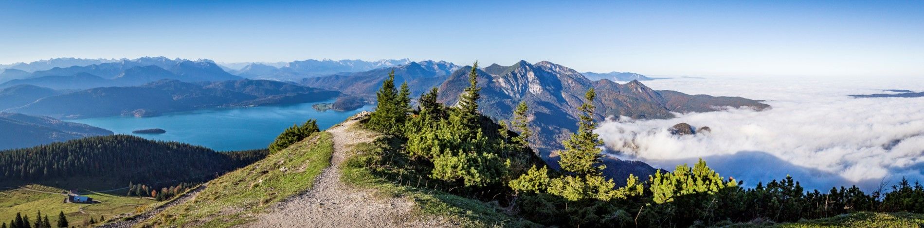
Fairytale landscapes & alpine foothills - hiking in the Tölzer Land in Bavaria
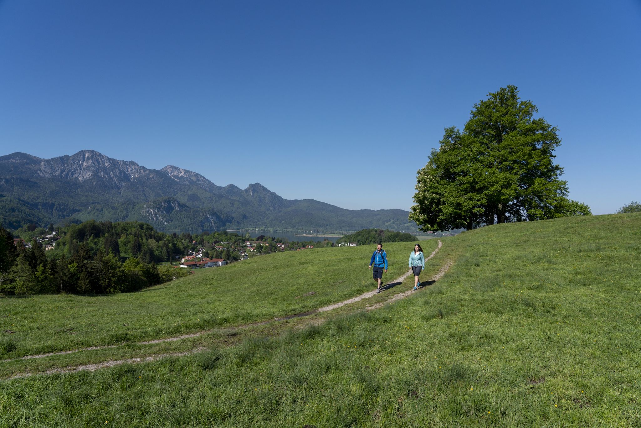
Traumhafte Wanderungen rund um den Kochelsee
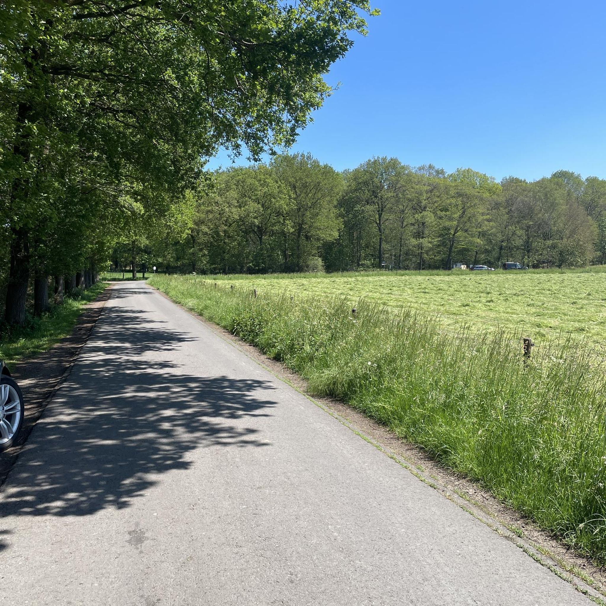
Traffic-free bike rides around Benediktbeuern
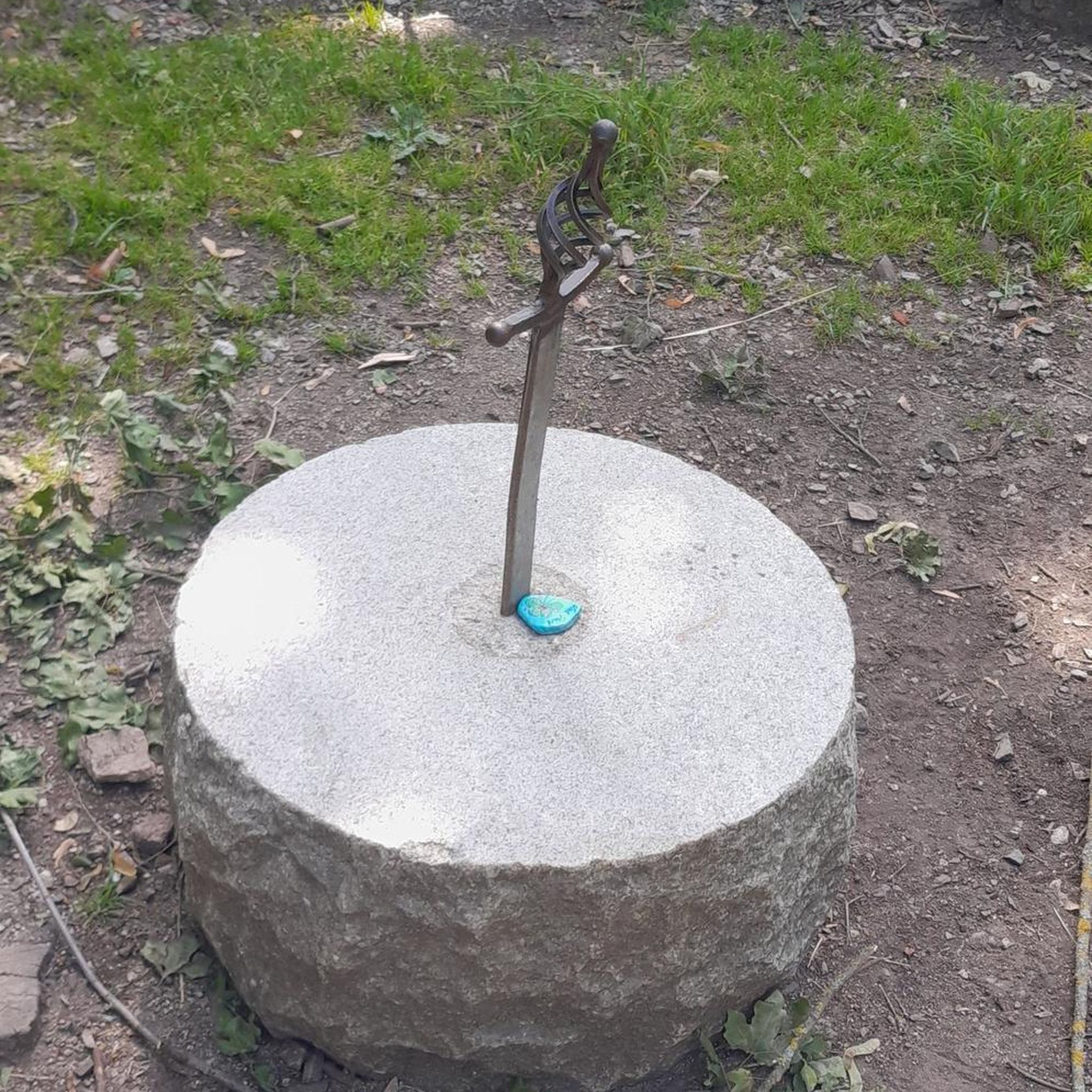
Traffic-free bike rides around Benediktbeuern
Other adventures around Benediktbeuern


Tips from the Community

From Kochelsee to its mouth in the Isar It leaves the lake on its northern edge west of Kochel, passes Benediktbeuern and Penzberg and there definitively leaves the northern foothills of the Bavarian Alps. It still flows through Eurasburg and flows into the Isar north of Wolfratshausen in the Auwald Pupplinger Au. Source https://de.wikipedia.org/wiki/Loisach
2
0
From the source to the Bavarian border The Loisach rises in the state of Tyrol between the Lechtal Alps in the west and the Mieminger Mountains in the east, below and northeast of the Fern Pass. Its sources are located in the municipality of Biberwier, near the Mittersee lake, close to the B 179. From there, its water flows northwards through the Ehrwalder Becken and then along the B 187 through Ehrwald and westwards past the Zugspitze to the German border. From Garmisch-Partenkirchen to Kochelsee On the Bavarian side, it first passes Griesen in a northeasterly direction and then flows past Grainau to Garmisch, the largest district of Garmisch-Partenkirchen. Afterwards, it continues north between the Ammergau Alps in the west and the Estergebirge in the east. Via Farchant, Oberau and Eschenlohe, as well as past Ohlstadt and Murnau, the Loisach reaches Großweil, where it turns southeast and flows into the western part of Kochelsee near Schlehdorf, north of the Herzogstand. Source https://de.wikipedia.org/wiki/Loisach
3
0
The name is based on the Indo-Germanic root *leubʰ, meaning 'dear'. It is derived with an s as a suffix. The name refers to the pleasant course of the river.[3] Earlier name forms are Liubasa (1003), Lyubasa (ca. 1052), Liubisaha (1148–1155), Livbisaha (12th century), Liubsaha (1258), Leusach (1332), Leusach (1348), Lewsach (1424), Loysach (1536) and finally Loisach in 1553.[4] Source https://de.wikipedia.org/wiki/Loisach
3
0
The Loisach is a 113.2 km[1] long, south-southwesterly and left tributary of the Isar in Austria and Germany. It originates north of the Fern Pass in Tyrol and flows into the Isar after a northeasterly course near the Bavarian town of Wolfratshausen. Source https://de.wikipedia.org/wiki/Loisach
3
0

Great path along the river, many stations with information about it. Wonderfully relaxing.
1
0

The only and natural outflow of Kochelsee is the river Loisach. It leaves the lake in the northeast at Kochel am See, after having previously flowed into the lake on the west side (near Schlehdorf), and flows from there further north.
15
0

The church is correctly called "Sankt Georg". Visiting is difficult because it is locked.
0
0

Great section with beautiful views of the mountains
1
0
Frequently Asked Questions
How many traffic-free gravel bike trails are available around Benediktbeuern?
There are over 60 dedicated traffic-free gravel bike routes around Benediktbeuern, offering a wide range of distances and difficulties. You'll find everything from easy, flat rides through moorlands to more challenging tours in the Alpine foothills.
What kind of terrain can I expect on the no-traffic gravel trails in Benediktbeuern?
The region offers diverse terrain, perfect for gravel biking. You can expect a mix of wide forest paths, unpaved segments through moor landscapes like the Benediktbeuern Moor, and scenic routes along river floodplains such as the Isar and Loisach. Some routes also feature gentle climbs in the Alpine foothills, providing varied and engaging surfaces.
Are there easy, family-friendly no-traffic gravel routes in Benediktbeuern?
Yes, Benediktbeuern has several easy gravel routes suitable for families. These often follow flat paths through moorlands or along rivers, providing a relaxed experience away from traffic. An example of an easy route is the Forest path along the Loisach River – Benediktbeuern Abbey loop from Bichl, which is mostly flat and scenic.
What natural features or landmarks can I see on these traffic-free gravel routes?
Many routes offer stunning views of the Bavarian Alps, including peaks like the Benediktenwand. You'll also encounter unique moor landscapes, the clear waters of the Isar and Loisach rivers, and picturesque lakes such as Walchensee and Kochelsee. The historic Hohenburg Castle and the impressive Benediktbeuern Abbey are also notable landmarks often integrated into tours.
What is the best time of year for gravel biking in Benediktbeuern?
The best time for gravel biking in Benediktbeuern is generally from spring to autumn (April to October). During these months, the weather is usually pleasant, and the trails are dry and well-maintained. Spring offers lush greenery, while autumn provides beautiful fall foliage. Some lower-elevation routes might be accessible in mild winter conditions, but always check local trail conditions.
Can I bring my dog on the no-traffic gravel bike trails in Benediktbeuern?
Generally, dogs are welcome on most public trails in Bavaria, provided they are kept on a leash, especially in nature reserves or near livestock. Always be mindful of local signage and ensure your dog is well-behaved and doesn't disturb wildlife or other trail users. Remember to carry water for your dog and clean up after them.
Where can I park my car when starting a gravel bike tour in Benediktbeuern?
Benediktbeuern offers various parking options. You can often find parking near the Benediktbeuern Abbey or at designated trailheads around the village. For example, many tours, like the Benediktbeuern Abbey – View of Benediktbeuern Abbey loop, conveniently start and end near central parking areas.
Can I reach the gravel trails around Benediktbeuern by public transport with my bike?
Yes, Benediktbeuern is accessible by train, and you can typically transport your bike on regional trains within the MVV network (Munich Transport and Tariff Association). This allows you to start your gravel adventure directly from the train station, connecting easily to the local trail network. Always check current MVV regulations for bike transport.
Are there any specific regulations or permits needed for gravel biking in Benediktbeuern?
For general gravel biking on public paths and forest roads in Benediktbeuern, no specific permits are usually required. However, always respect private property, stay on marked trails, and adhere to local regulations, especially within nature protection areas. Be aware of signage regarding restricted access or specific rules for certain areas.
What do other gravel bikers enjoy the most about gravel biking in Benediktbeuern?
The area is highly rated by the komoot community, with an average score of 4.8 stars. Reviewers often praise the quiet, traffic-free nature of the trails, the stunning mountain vistas, and the diverse landscapes ranging from serene moorlands to challenging forest climbs. The well-maintained gravel paths and the opportunity to explore natural beauty away from crowds are frequently highlighted.
Are there any longer, more challenging no-traffic gravel routes for experienced riders?
Absolutely. For experienced riders seeking a challenge, there are routes with significant elevation gain and longer distances. For instance, the View of Riegsee and the Alps – Forest path along the Loisach River loop offers a moderate challenge with varied terrain and rewarding views of Riegsee and the Alps, covering nearly 40 km.
Can I find places to eat or drink along the gravel trails in Benediktbeuern?
Yes, many routes pass through or near villages where you can find traditional Bavarian guesthouses, cafes, and beer gardens. Benediktbeuern itself offers several options for refreshments. Some trails might also lead past remote huts or inns, especially in the foothills, providing a perfect stop for a break and local cuisine.
Most popular routes around Benediktbeuern
Most popular attractions around Benediktbeuern

Get inspired with the komoot mobile app


Explore more
Browse the best Gravel rides in other regions.
