The best hikes from bus stations around Lenggries
4.4
(16122)
86,569
hikers
153
hikes
Bus station hiking trails around Lenggries offer access to the diverse landscapes of the Bavarian Alps and the Karwendel Mountains. The region is characterized by rugged peaks, extensive forests, and the Isar River valley, providing varied terrain for hikers. Trails often feature panoramic views of the surrounding alpine scenery, including vistas towards the Sylvenstein Reservoir. The area's natural features include both challenging mountain ascents and gentler riverside paths.
Best bus station hiking trails around Lenggries
- The most popular bus station hiking route is Denkalm Mountain Hut – View of the Isar Valley loop from Lenggries, a 4.4 miles (7.1 km) moderate trail that takes 2 hours 30 minutes to complete. This route offers views of the Isar Valley.
- Another top favourite among local hikers is View of Latschenkopf – Brauneck Summit Cross loop from Lenggries, a moderate 7.3 miles (11.7 km) path. This trail includes significant elevation gain and leads to summit views.
- Local hikers also love the Murbach Waterfall and Pond – Kotalm Brauneck loop from Burgruine Schellenburg, a 4.2 miles (6.7 km) trail leading through forested areas and past a waterfall, often completed in about 2 hours 35 minutes.
- Hiking around Lenggries is defined by alpine peaks, river valleys, and dense woodlands. The network offers options for various ability levels, from easy walks to demanding ascents.
- The routes in Lenggries are highly rated by the komoot community with an average score of 4.4 stars from over 15,000 reviews. More than 86,000 hikers have used komoot to explore Lenggries's varied terrain.
Last updated: June 26, 2026
4.5
(512)
2,234
hikers
7.06km
02:30
360m
360m
Moderate hike. Good fitness required. Mostly accessible paths. Sure-footedness required.
4.5
(371)
2,138
hikers
11.8km
04:46
840m
840m
Moderate hike. Good fitness required. Mostly accessible paths. Sure-footedness required.

Sign up for free
4.5
(198)
990
hikers
13.6km
05:08
840m
840m
Hard hike. Very good fitness required. Mostly accessible paths. Sure-footedness required.
4.8
(111)
802
hikers
16.3km
07:14
1,240m
1,240m
Hard hike. Very good fitness required. Sure-footedness, sturdy shoes and alpine experience required.
4.6
(99)
641
hikers
Moderate hike. Good fitness required. Easily-accessible paths. Suitable for all skill levels.
Get access to more routes and recommendations from other explorers.
Sign up for free
Already have an account?
Our route recommendations are based on thousands of hikes, rides, and runs completed by other people on komoot.
Start today with a free account
Your next adventure awaits.
Login or Signup
Popular around Lenggries

Maximilian Trail in Germany — Lake Constance to Königssee

The "Dream Path" hiking trail – From Munich to Venice in 28 stages
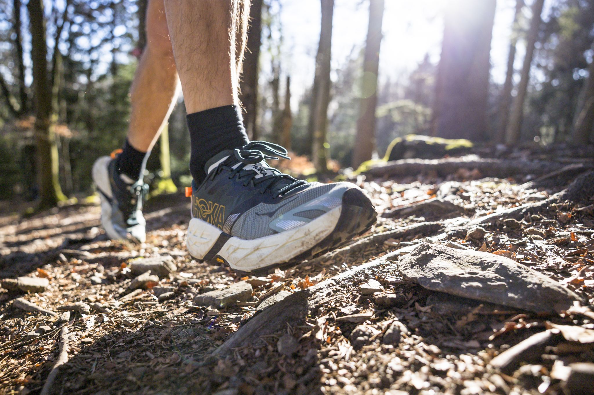
Run Wilder – six trail runs in Germany with the HOKA Speedgoat 7
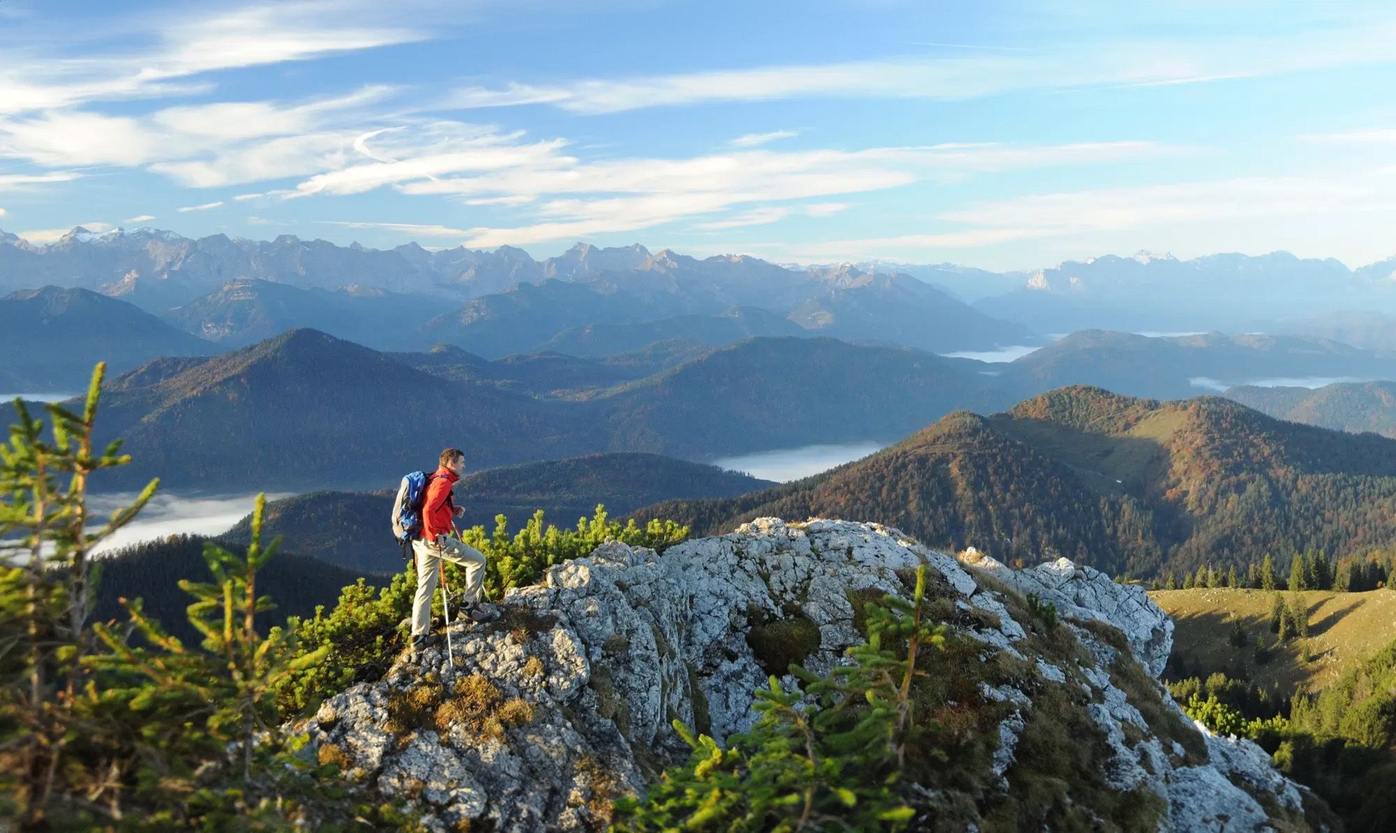
Hiking paradise Lenggries
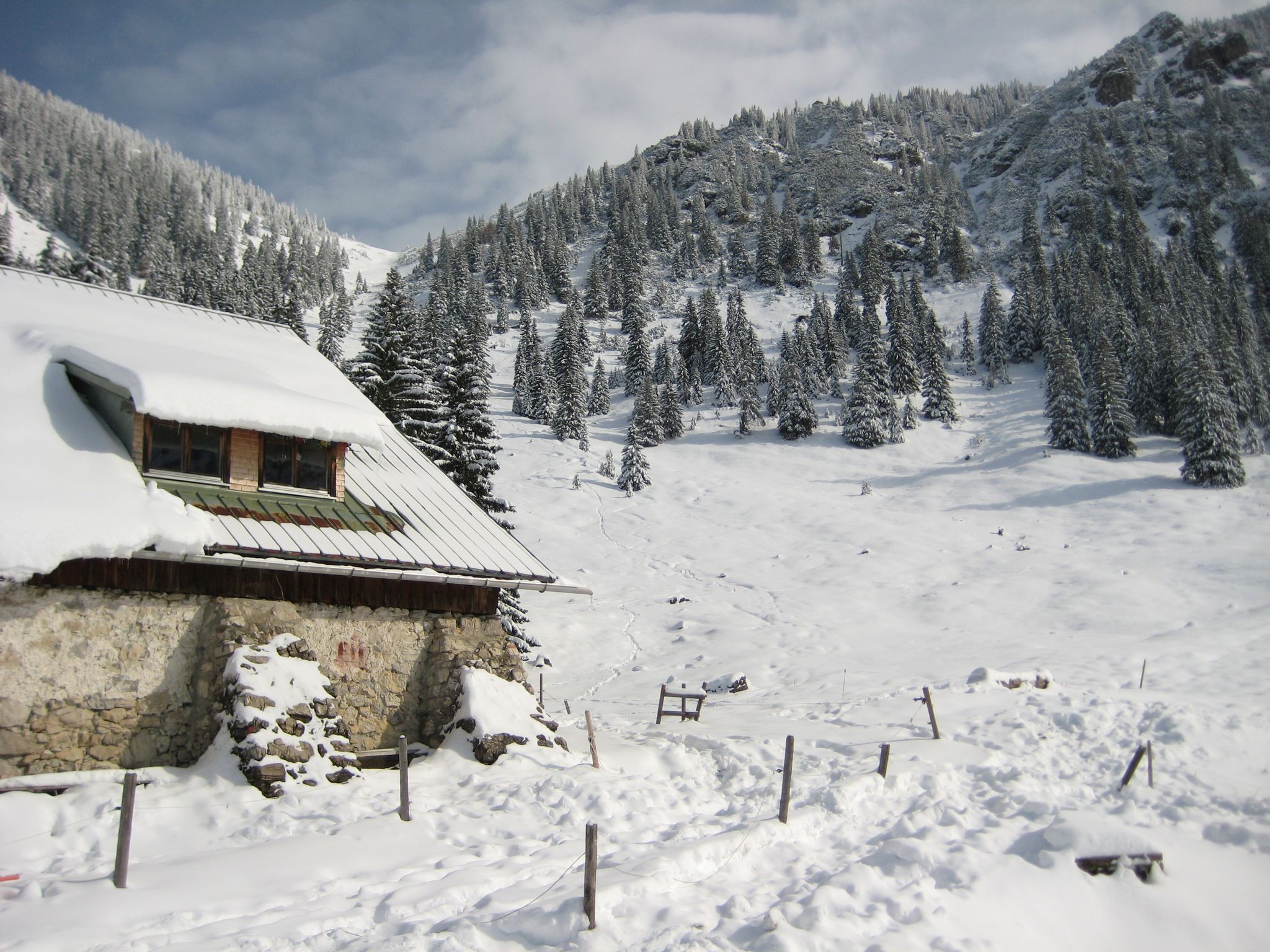
Southern Germany — mountain lodges for the cold season
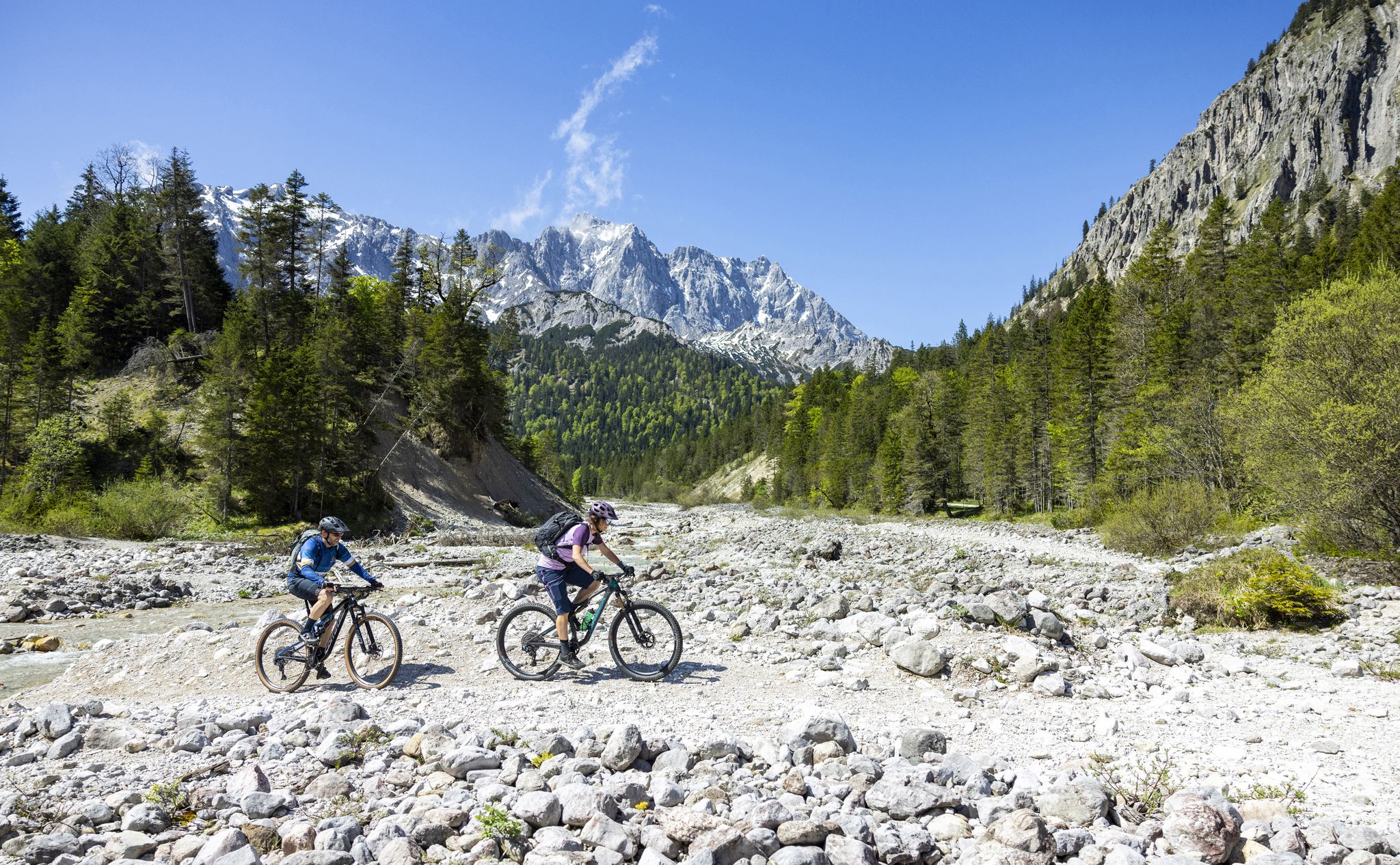
Trail guide Karwendel: In Elmar Moser’s footsteps
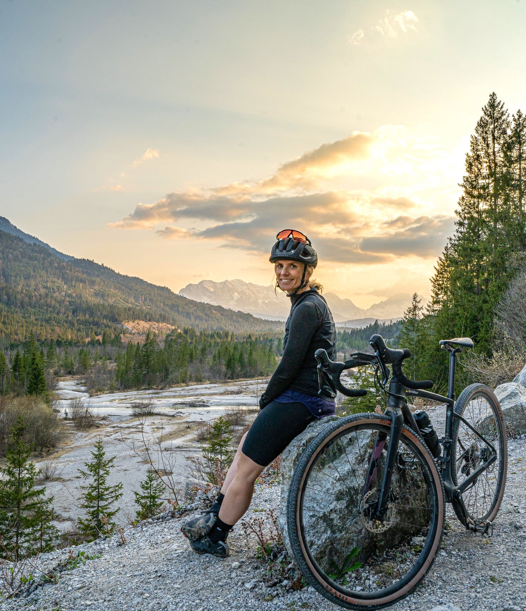
Sara's most beautiful gravel routes – gravel in Tölzer Land
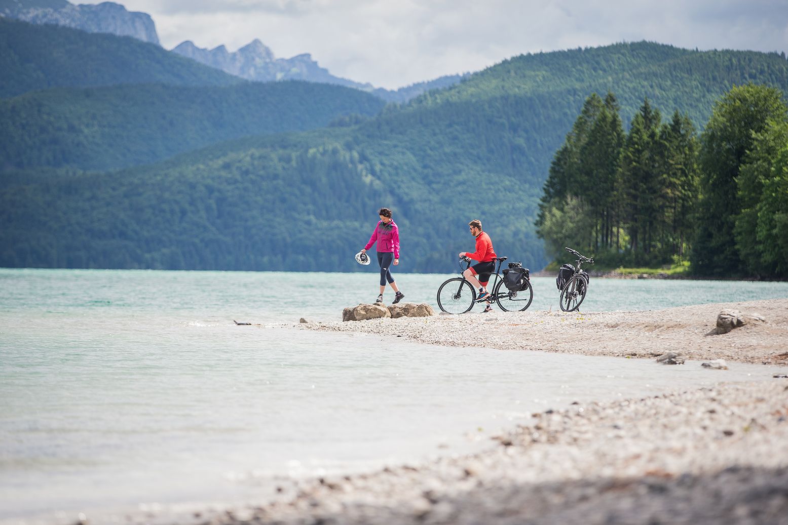
Ride through the countryside around Munich – Water-Cycle Paths

Triathlon around Germany
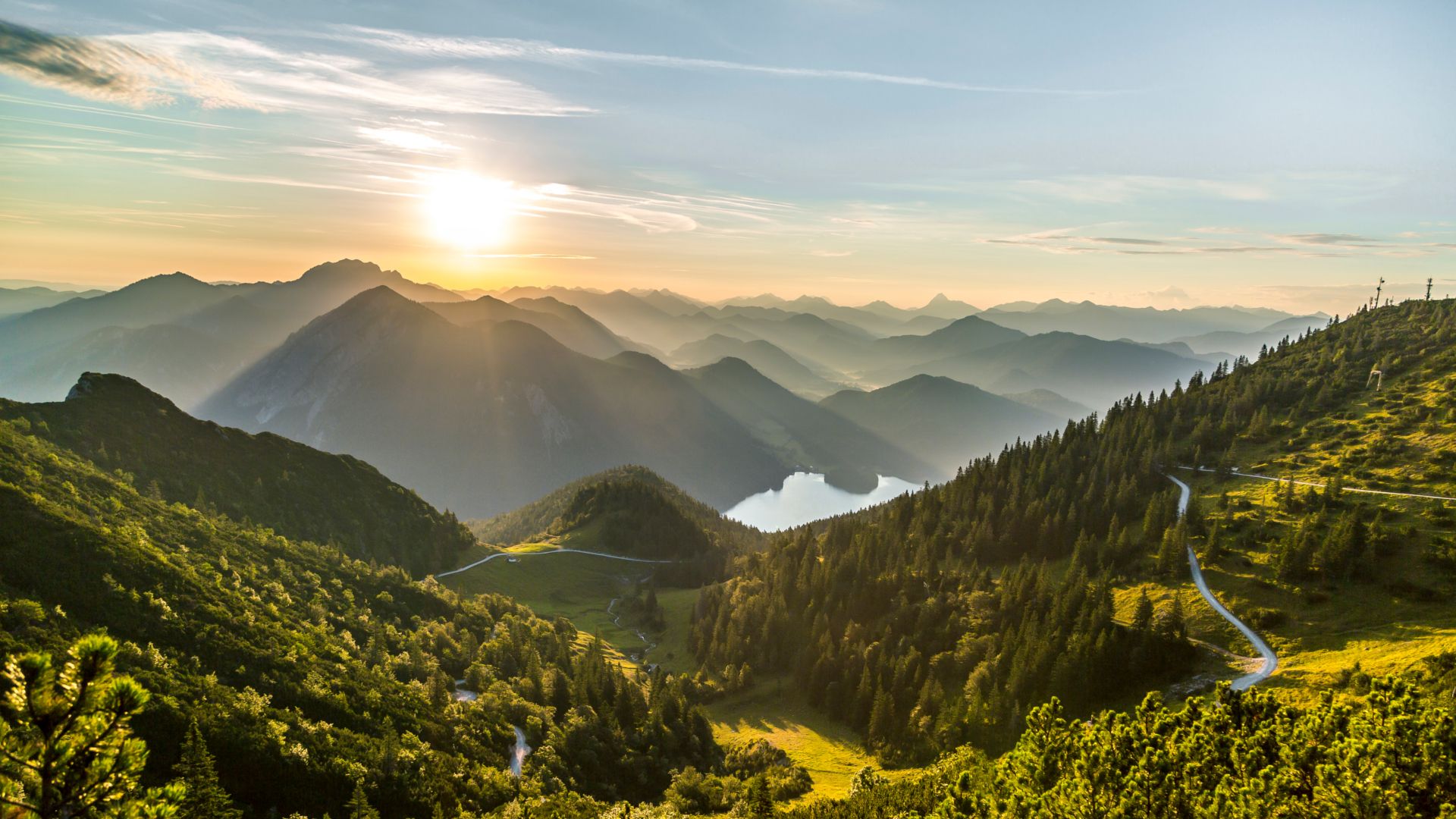
From lake to sea in the Tölzer Land
Other adventures around Lenggries


Tips from the Community

A steep, gravelly track winds through the forest. To keep things interesting, a stream with its small cascades runs alongside it – very pleasant.
0
0


The view is simply wonderful.
0
0

The course of the Murbach has been controlled here with structural measures, and the stream flows down the valley via steps. A small pond right next to it is particularly popular with four-legged hiking companions.
0
0

Crossroads at Murbach in the lower part of the climb to Brauneck from Wegscheid.
0
0
Great view from the summit of the Brauneck over the ridge to the Latschenkopf.
1
1
Frequently Asked Questions
How many bus station hiking trails are available in Lenggries?
Lenggries offers a wide variety of hiking trails accessible directly from bus stations, with over 150 routes documented. These include 68 easy, 57 moderate, and 29 difficult options, ensuring there's a suitable path for every hiker.
Are there easy or family-friendly hiking options accessible by bus in Lenggries?
Yes, Lenggries is well-suited for families and beginners. Many trails along the Isar River offer gentle strolls through picturesque landscapes. For a moderately challenging but rewarding experience, consider the Denkalm Mountain Hut – View of the Isar Valley loop from Lenggries, which provides stunning views and a chance to visit a traditional hut.
Can I find circular hiking routes starting from bus stops in Lenggries?
Absolutely. Many of the bus-accessible trails in Lenggries are circular, allowing you to start and end your hike at the same bus stop without needing to retrace your steps. The Denkalm Mountain Hut – View of the Isar Valley loop from Lenggries is a great example of a circular route offering beautiful scenery.
Are there hiking routes with waterfalls or scenic viewpoints accessible by bus?
Yes, you can discover beautiful natural features and panoramic vistas. The Murbach Waterfall and Pond – Kotalm Brauneck loop from Burgruine Schellenburg offers a chance to see a waterfall. For breathtaking views, many trails around Brauneck, Lenggries' local mountain, provide expansive outlooks over the Bavarian Alps, Lake Starnberg, and even the Zugspitze on clear days.
What are some less crowded hiking options from bus stations in Lenggries?
While popular spots like Brauneck can be busy, seeking out trails to destinations like the Geierstein often provides a quieter experience. This area is known for its rugged landscape and vibrant wildflowers, offering a more secluded adventure away from the main crowds.
What can I see along the bus station hiking trails in Lenggries?
The trails offer a diverse range of sights. You can explore the wild Isar River, lush forests, and alpine meadows. Highlights include the Herzogstand summit and views of Walchensee and Kochelsee, the Jochberg Summit, and the Aueralm Alpine Hut for refreshments. The region is also home to several scenic mountain passes like Plums Saddle.
Are there options for more challenging hikes from bus stops in Lenggries?
For experienced hikers seeking a challenge, Lenggries delivers. The Karwendel Mountains, often called the 'gate to the Karwendel-range,' offer demanding ascents. A notable difficult route is the Schafreuter Peak – Tölzer Hut loop from Rißbach, which takes you to the highest mountain in Lenggries within the Karwendel, offering rewarding views.
What do other hikers enjoy most about hiking in Lenggries?
The area is highly rated by the komoot community, with an average score of 4.44 stars from over 15,000 ratings. Reviewers often praise the stunning panoramic views, the well-maintained network of trails, and the accessibility of diverse landscapes, from riverside paths to challenging alpine ascents.
Is Lenggries accessible by public transport from Munich?
Yes, Lenggries is very well-connected by public transport, making it an ideal day trip destination from Munich. Direct train and bus services are available, allowing hikers to reach various starting points for trails without needing a car.
Are there places to eat or drink along the hiking routes?
Many trails in Lenggries lead to or pass by traditional Bavarian huts and mountain restaurants where you can enjoy refreshments and regional dishes. Brauneck, for instance, boasts ten traditional huts. The Lenggrieser Hütte, accessible via the Grasleitensteig, is another popular spot for a break.
Can I bring my dog on these bus-accessible hiking trails?
Most hiking trails in Lenggries are dog-friendly, but it's always advisable to keep your dog on a leash, especially in nature conservation areas, near livestock, or on busy paths. Ensure you carry enough water for both yourself and your dog, and be mindful of local regulations.
What is the best time of year to hike from bus stations in Lenggries?
The hiking season in Lenggries generally runs from late spring to early autumn (May to October), when the weather is mild and trails are clear. Spring brings vibrant wildflowers, while autumn offers stunning foliage. Some lower-altitude trails along the Isar are also suitable for winter walks, but higher alpine routes may require special equipment and experience due to snow and ice.
Most popular routes around Lenggries
Most popular attractions around Lenggries

Get inspired with the komoot mobile app


Explore more
Browse the best Hikes in other regions.
