The best city hikes and walks around Oberstdorf
4.6
(57498)
251,050
hikers
22
hikes
Urban hiking trails around Oberstdorf are characterized by leisurely strolls through picturesque valleys and along the banks of the Breitach, Stillach, and Trettach rivers. The terrain primarily consists of gentle paths, connecting the town center with nearby natural features and idyllic village settings. These routes offer accessible options for exploring the local environment without significant elevation changes. The landscape combines urban elements with views of the surrounding Allgäu Mountains.
Best urban hiking trails around Oberstdorf
- The most popular urban hiking route is Oberstdorf town center – View of the Allgäu Mountains loop from Oberstdorf, a 2.9 miles (4.7 km) trail that takes 1 hour 13 minutes to complete. This easy route offers views of the surrounding Allgäu Mountains from the town center.
- Another top favourite among local hikers is Oberstdorf Ski Jump – Faltenbach Waterfalls loop from Oberstdorf, an easy 2.1 miles (3.4 km) path. This route explores local landmarks and natural water features.
- Local hikers also love the Market Square, Oberstdorf – Oberstdorf Town Centre loop from Oberstdorf, a 2.5 miles (4.0 km) trail leading through the heart of the town, often completed in about 1 hour 2 minutes.
- Hiking around Oberstdorf is defined by river paths, town center exploration, and views of the Allgäu Mountains. The network offers options for different ability levels, with a focus on accessible, easy routes.
- The routes in Oberstdorf are highly rated by the komoot community with an average score of 4.6 stars from over 51,000 reviews. More than 238,000 hikers have used komoot to explore Oberstdorf's varied terrain.
Last updated: August 20, 2026
5.0
(4)
21
hikers
Easy hike. Great for any fitness level. Easily-accessible paths. Suitable for all skill levels.
4.7
(3)
39
hikers
Easy hike. Great for any fitness level. Easily-accessible paths. Suitable for all skill levels.

Sign up for free
4.5
(4)
108
hikers
Easy hike. Great for any fitness level. Easily-accessible paths. Suitable for all skill levels.
4.2
(49)
463
hikers
Easy hike. Great for any fitness level. Easily-accessible paths. Suitable for all skill levels.
5.0
(1)
26
hikers
Easy hike. Great for any fitness level. Easily-accessible paths. Suitable for all skill levels.
Get access to more routes and recommendations from other explorers.
Sign up for free
Already have an account?
Our route recommendations are based on thousands of hikes, rides, and runs completed by other people on komoot.
Start today with a free account
Your next adventure awaits.
Login or Signup
Popular around Oberstdorf

Ibex Tour extended – Crossing the Allgäu Alps

The Best of Allgäu – Tour around Oberallgäu

E5 – Hiking across the Alps
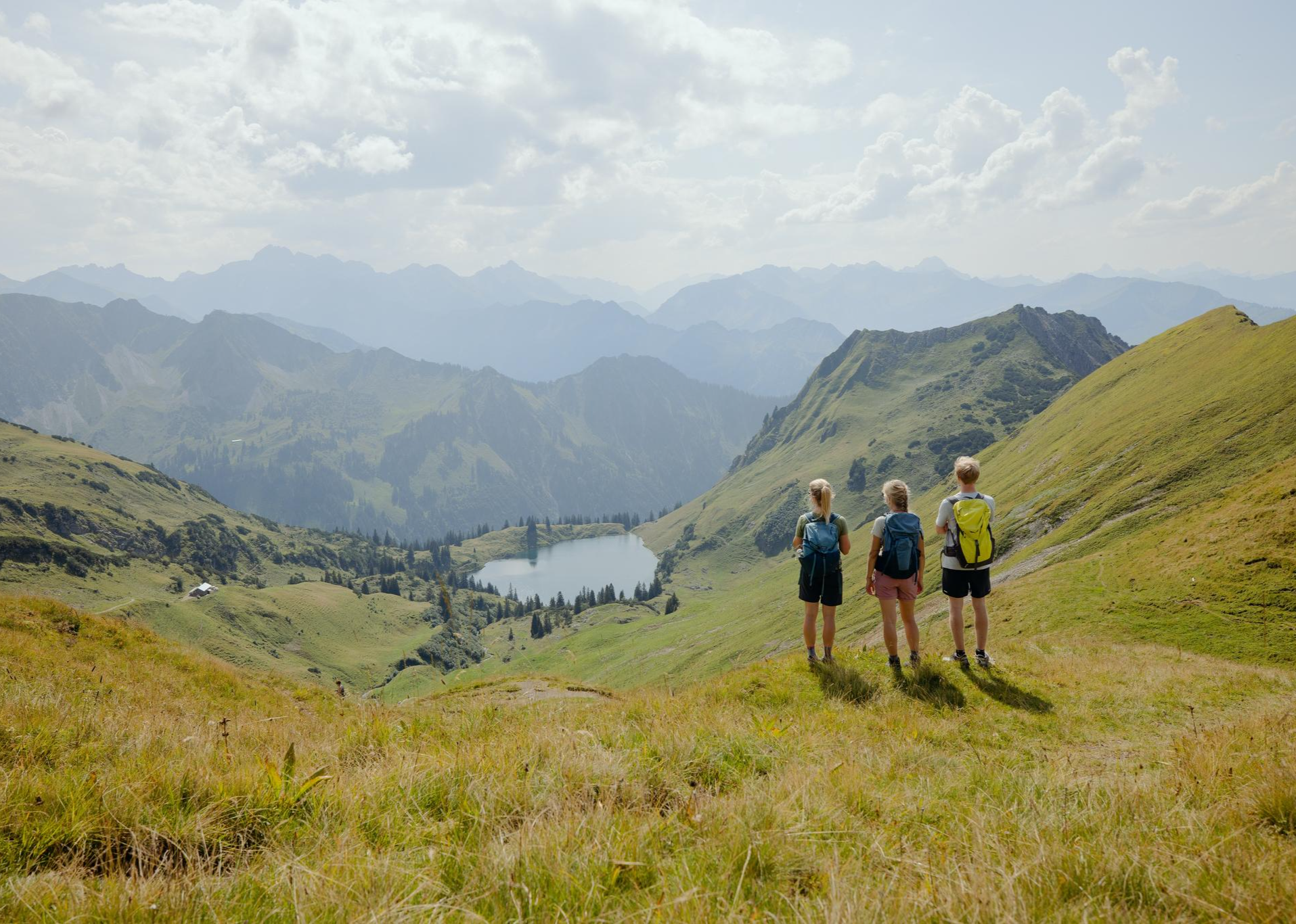
Hiking Oberstdorf's beautiful water landscapes

Hiking in Oberstdorf – experience the Allgäu Alps at your own pace
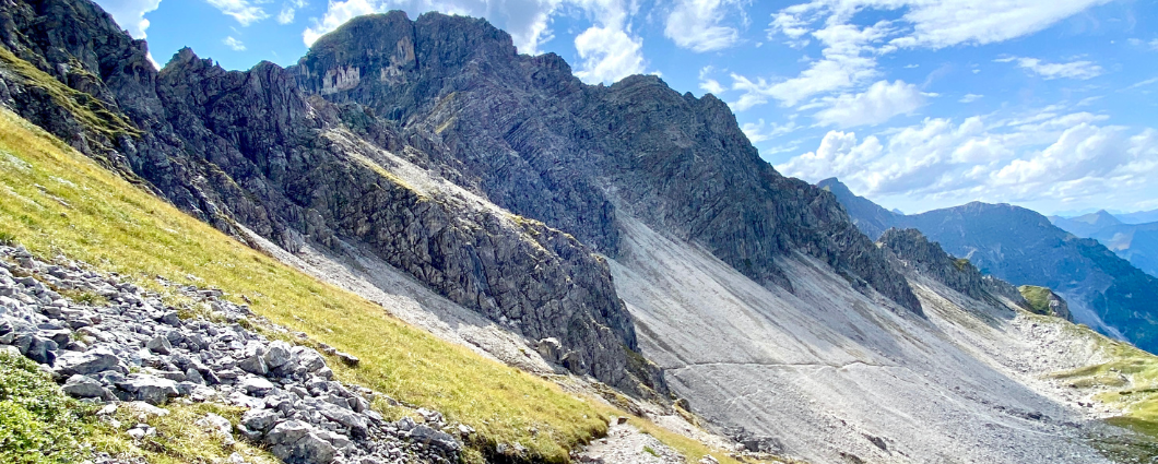
Three peaks, two countries, two days – border hike in the Kleinwalsertal
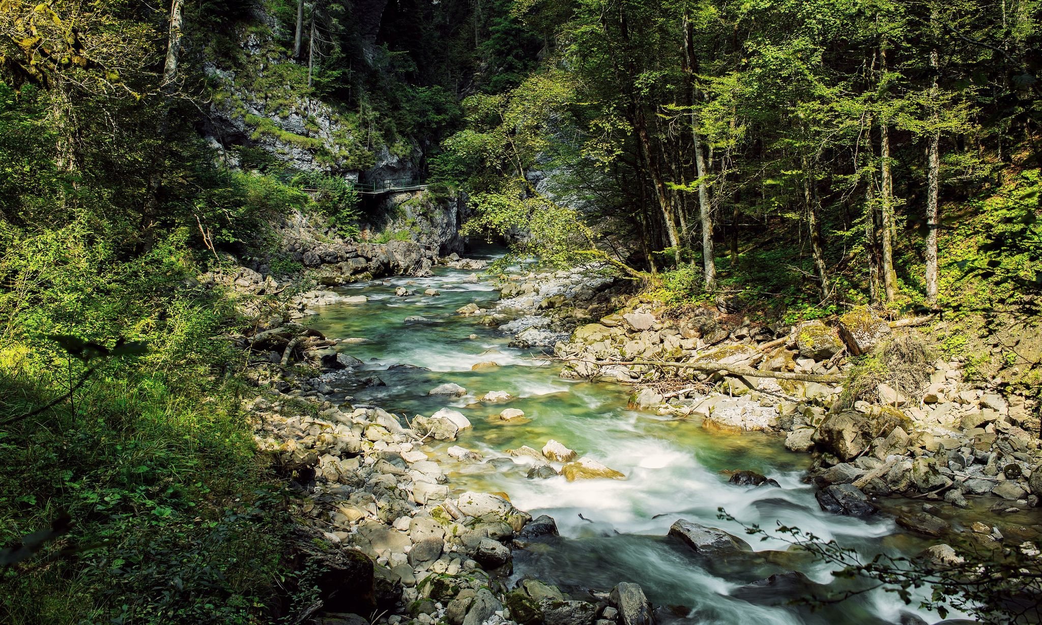
Refreshing cool downs – gorge hikes in Vorarlberg
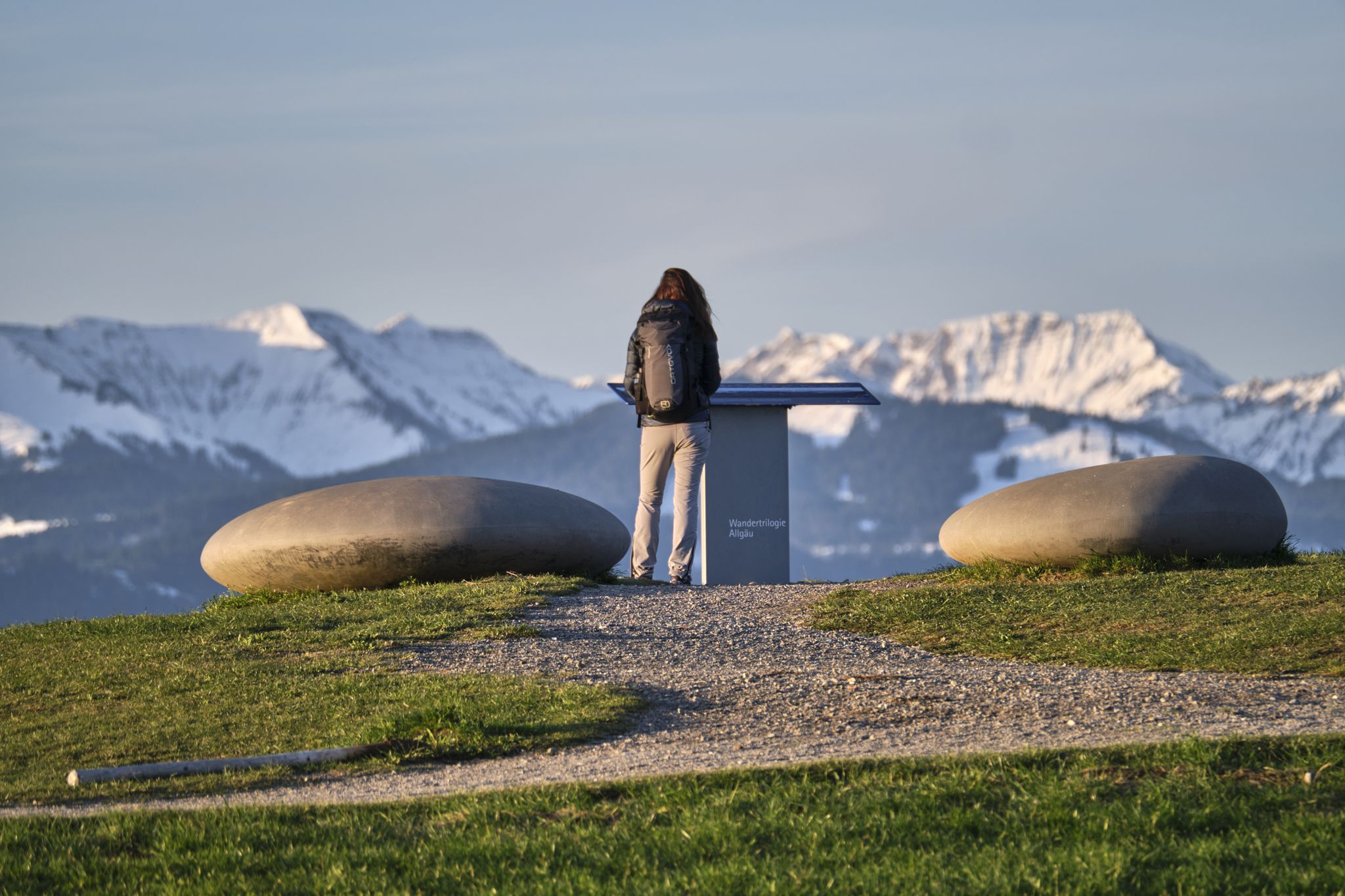
Experience history – hike the Trilogy Tours in Allgäu
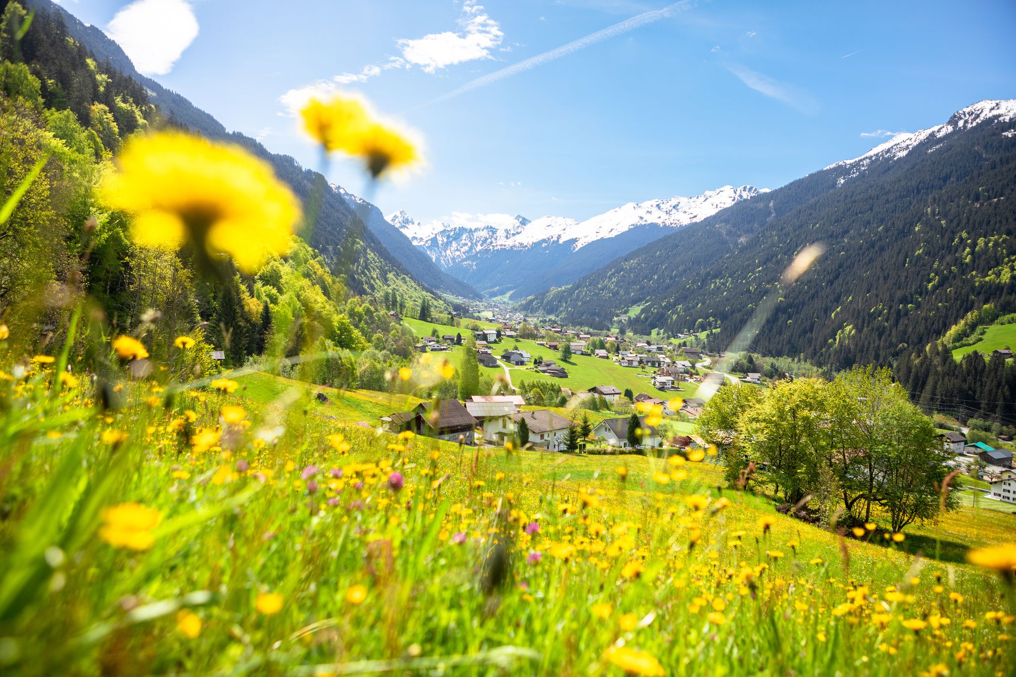
Nature awakens – spring hikes in Vorarlberg

Climbing Alpine peaks on the Route to the Top – Allgäu hiking trilogy
Other adventures around Oberstdorf


Tips from the Community

Modern cable car that quickly and safely transports people to the summit. Bus line 9 runs from the train station to the valley station. It takes 10 minutes on foot. The magnificent view quickly makes you forget the high price for the transport. An extremely worthwhile excursion. The prices for drinks and food are not excessive. The service was also very friendly.
0
0

Waterfalls offer a great mood for the ears and eyes…
0
0
Great atmosphere, the splashing sound is calming and relaxing
0
0
When you hear and see the water, it's already like a relaxing holiday...
2
0
It splashes and steams like on vacation, great atmosphere, nicely and quietly located for hiking, walking or cycling!!! For everyone!!!
2
0

The Nebelhornstraße is the direct access road to the best view in the region. Take the train at the station, go up to the summit at 2,224 meters and enjoy the famous "400-summit view" and the deep view at the spectacular
7
0
At the end of the street (Nebelhornstraße 67C) is the valley station of the Nebelhornbahn. Already from the parking lots there and the terraces of the cafés (like the Café Restaurant Bergblick) you look directly up the steep grassy slopes of the Schattenberg and the cable car routes.
8
0
The view from below (village center): As you stroll along Nebelhornstraße (for example, at the level of the well-known inn Zum Franzlwirt), the Rubihorn rises steeply in front of you. Further back, the mountain stations of the ski area rise up.
8
0
Frequently Asked Questions
How many urban hiking trails are available in Oberstdorf?
Oberstdorf offers a wide selection of urban hiking trails, with over 20 routes specifically designed for easy walks within and around the town. These trails are perfect for exploring the local area without venturing into the high alpine terrain.
Are there any urban hiking routes suitable for families with children?
Yes, many urban trails in Oberstdorf are ideal for families. They typically feature gentle terrain and shorter distances. For example, the Trettach River – Oberstdorf town center loop offers a pleasant stroll along the river, perfect for all ages.
Can I bring my dog on urban hikes in Oberstdorf?
Most urban hiking trails in Oberstdorf are dog-friendly, allowing you to enjoy the scenery with your canine companion. Always keep your dog on a leash, especially in populated areas and near wildlife, and remember to carry waste bags. The Oberstdorf town center – View of the Allgäu Mountains loop is a great option for a walk with your dog.
Are there urban circular walks available in Oberstdorf?
Yes, Oberstdorf has numerous circular urban walks, making it convenient to start and end your hike in the same location. The Market Square, Oberstdorf – Oberstdorf Town Centre loop is a popular circular route that allows you to explore the heart of the town.
What kind of natural features can I expect to see on urban hikes in Oberstdorf?
Even on urban hikes, you'll encounter beautiful natural features. The town is nestled where the Breitach, Stillach, and Trettach rivers converge to form the Iller, offering scenic riverside paths. You might also find smaller waterfalls or streams. For a route featuring a waterfall, consider the Oberstdorf Ski Jump – Faltenbach Waterfalls loop.
Are there any interesting landmarks or attractions along the urban trails?
Yes, urban hikes often pass by local landmarks and offer glimpses into the town's charm. You can explore the historic town center, see traditional Bavarian architecture, or enjoy views of the surrounding Allgäu Alps. While not directly on every urban trail, nearby attractions like the impressive Breitach Gorge or the charming Gerstruben Mountain Village are easily accessible from Oberstdorf.
What is the best time of year for urban hiking in Oberstdorf?
Urban hiking in Oberstdorf is enjoyable year-round. Summer (June-September) offers pleasant temperatures and lush green landscapes. However, spring and autumn also provide beautiful scenery with blooming flowers or vibrant fall colors. Even in winter, cleared paths allow for refreshing walks through a snowy wonderland.
How accessible are urban hiking trails by public transport in Oberstdorf?
Oberstdorf is well-connected by public transport, and many urban hiking trails are easily accessible directly from the town center or via local bus routes. This makes it convenient to reach trailheads without a car. The Oberstdorf Town Centre loop is a great example, starting right in the heart of town.
What do other hikers enjoy most about urban hiking in Oberstdorf?
The komoot community highly rates the urban hiking experience in Oberstdorf, with an average score of 4.6 stars from over 51,000 reviews. Hikers frequently praise the well-maintained paths, the stunning views of the Allgäu Alps even from town, and the peaceful atmosphere along the rivers and through the meadows.
Are there places to eat or drink along urban hiking routes?
Yes, Oberstdorf's urban trails often pass through or near the town center, where you'll find a variety of cafes, restaurants, and pubs. Many routes also lead past traditional inns or mountain huts on the outskirts of town, offering opportunities for a refreshing stop or a meal. The Gaisalpe Mountain Inn is an example of a charming stop accessible from some trails.
Most popular routes around Oberstdorf
Most popular attractions around Oberstdorf

Get inspired with the komoot mobile app


Explore more
Browse the best Hikes in other regions.
