The best hikes from bus stations in Veneto
4.4
(64372)
387,747
hikers
6,694
hikes
Bus station hiking trails in Veneto traverse a diverse landscape, ranging from the high peaks of the Dolomites to the shores of Lake Garda. The region's geography includes rolling hills, extensive woodlands, and volcanic formations such as those found in the Euganean Hills. Veneto features limestone formations, alpine lakes, and river valleys, offering varied terrain for hikers.
Best bus station hiking trails in Veneto
- The most popular bus station hiking route is Tre Cime di Lavaredo Loop Trail, a…
Last updated: June 26, 2026
4.8
(1229)
5,767
hikers
7.24km
02:26
220m
220m
Embark on the Tre Cime di Lavaredo Loop Trail, a moderate hike that delivers continuous panoramic views of the iconic Tre Cime di Lavaredo from every angle. You will witness…
4.7
(121)
635
hikers
13.4km
05:29
930m
930m
Embark on a challenging hike through the Dolomites on the Croda da Lago Circuit Trail. This difficult route spans 8.3 miles (13.4 km) and involves a significant elevation gain of…

Sign up for free
4.8
(919)
5,556
hikers
Hard hike. Very good fitness required. Mostly accessible paths. Sure-footedness required.
4.7
(521)
3,245
hikers
8.57km
03:14
350m
350m
Hard hike. Good fitness required. Sure-footedness, sturdy shoes and alpine experience required.
4.9
(291)
2,743
hikers
Hard hike. Very good fitness required. Mostly accessible paths. Sure-footedness required.
Get access to more routes and recommendations from other explorers.
Sign up for free
Already have an account?
Our route recommendations are based on thousands of hikes, rides, and runs completed by other people on komoot.
Start today with a free account
Your next adventure awaits.
Login or Signup
Popular around Veneto
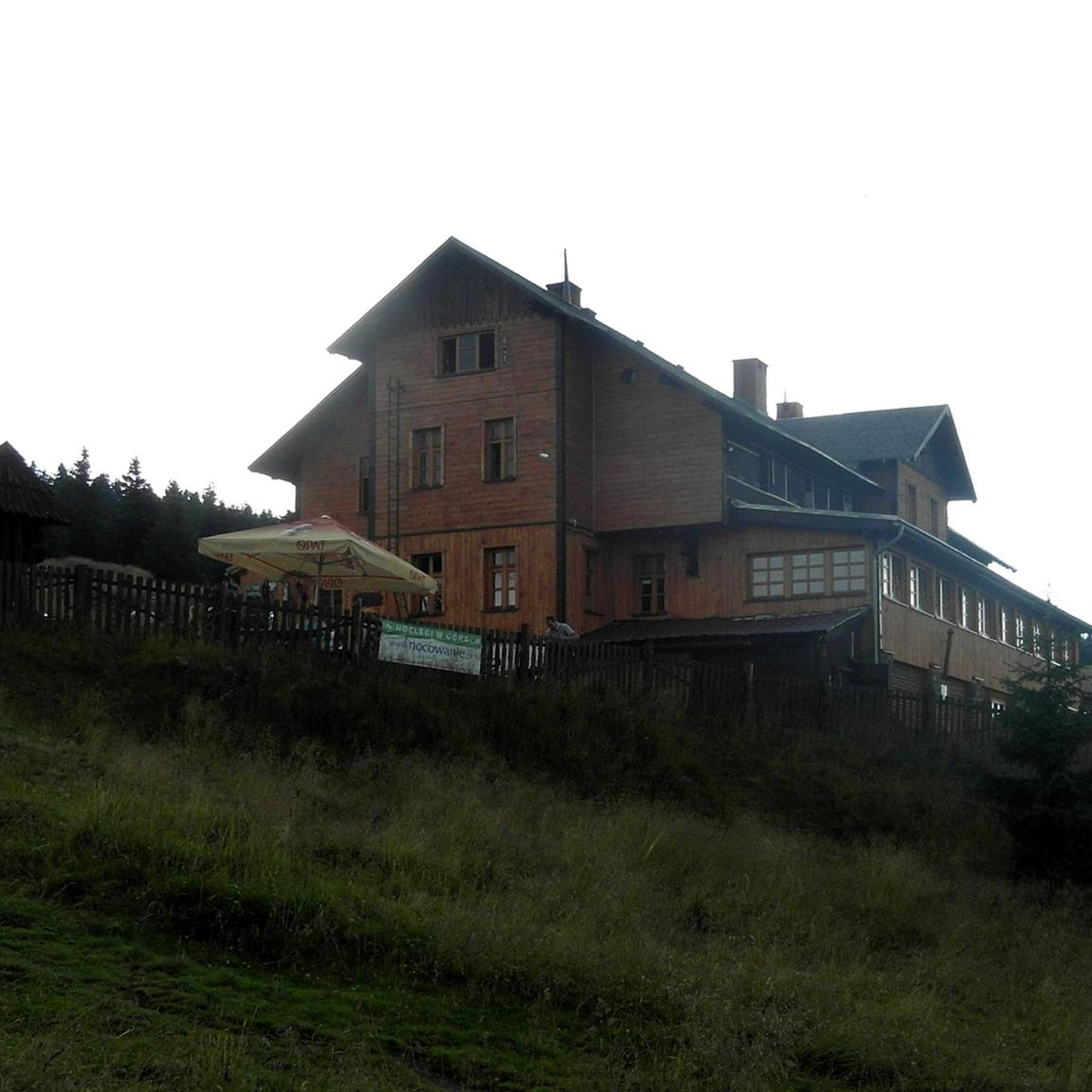
Hikes from bus stations in the Dolomites
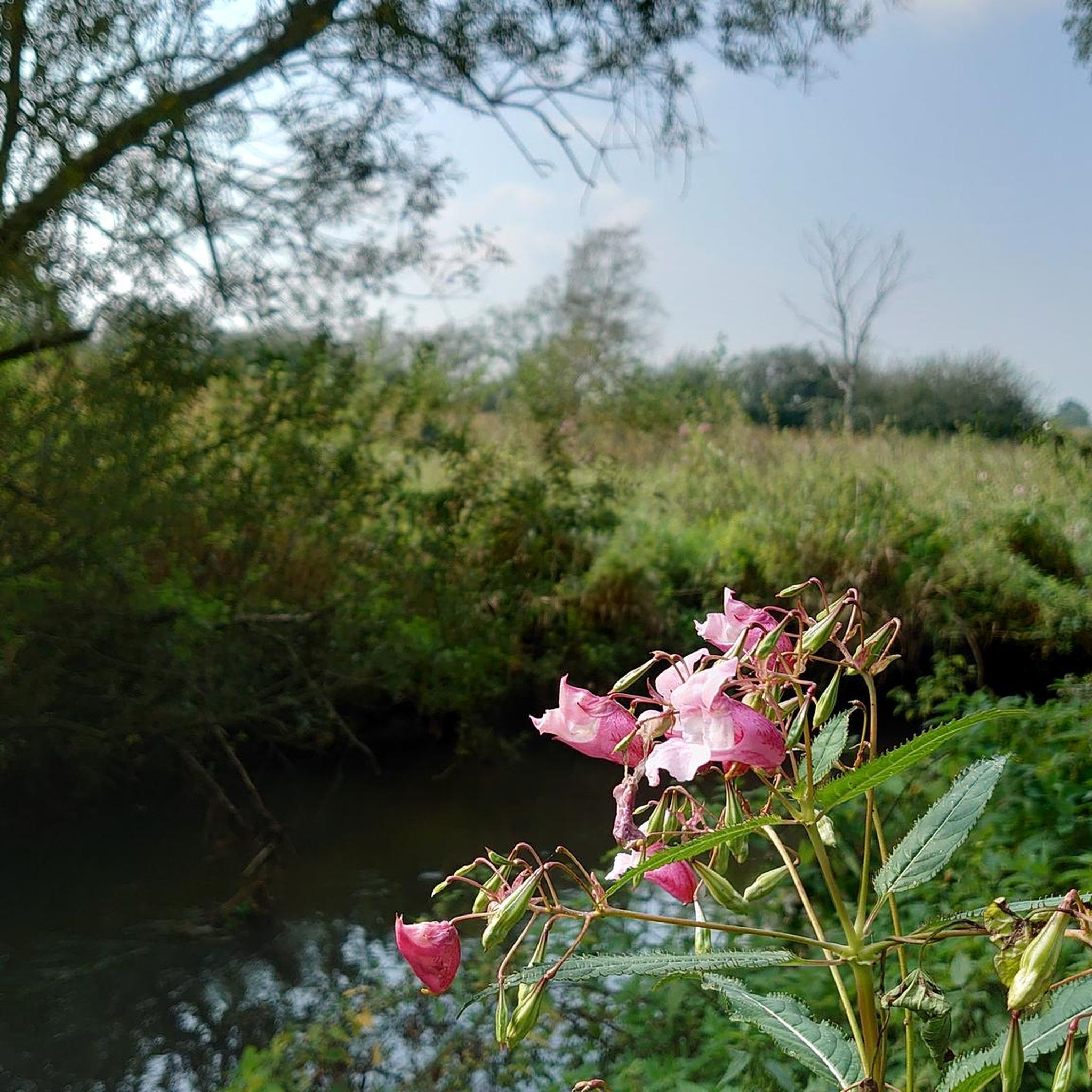
Hikes from bus stations in Belluno

Hikes from bus stations in Verona

Hikes from bus stations in Vicenza
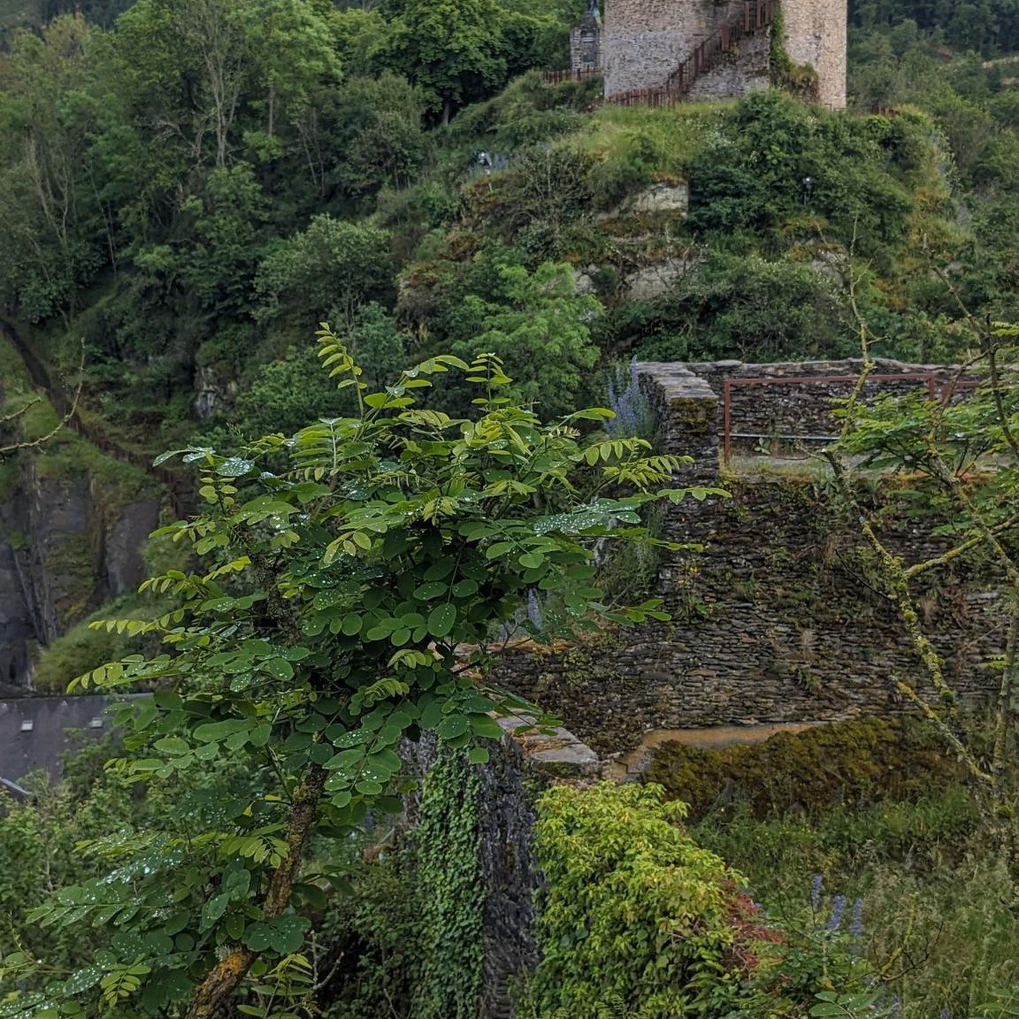
Hikes from bus stations in Treviso
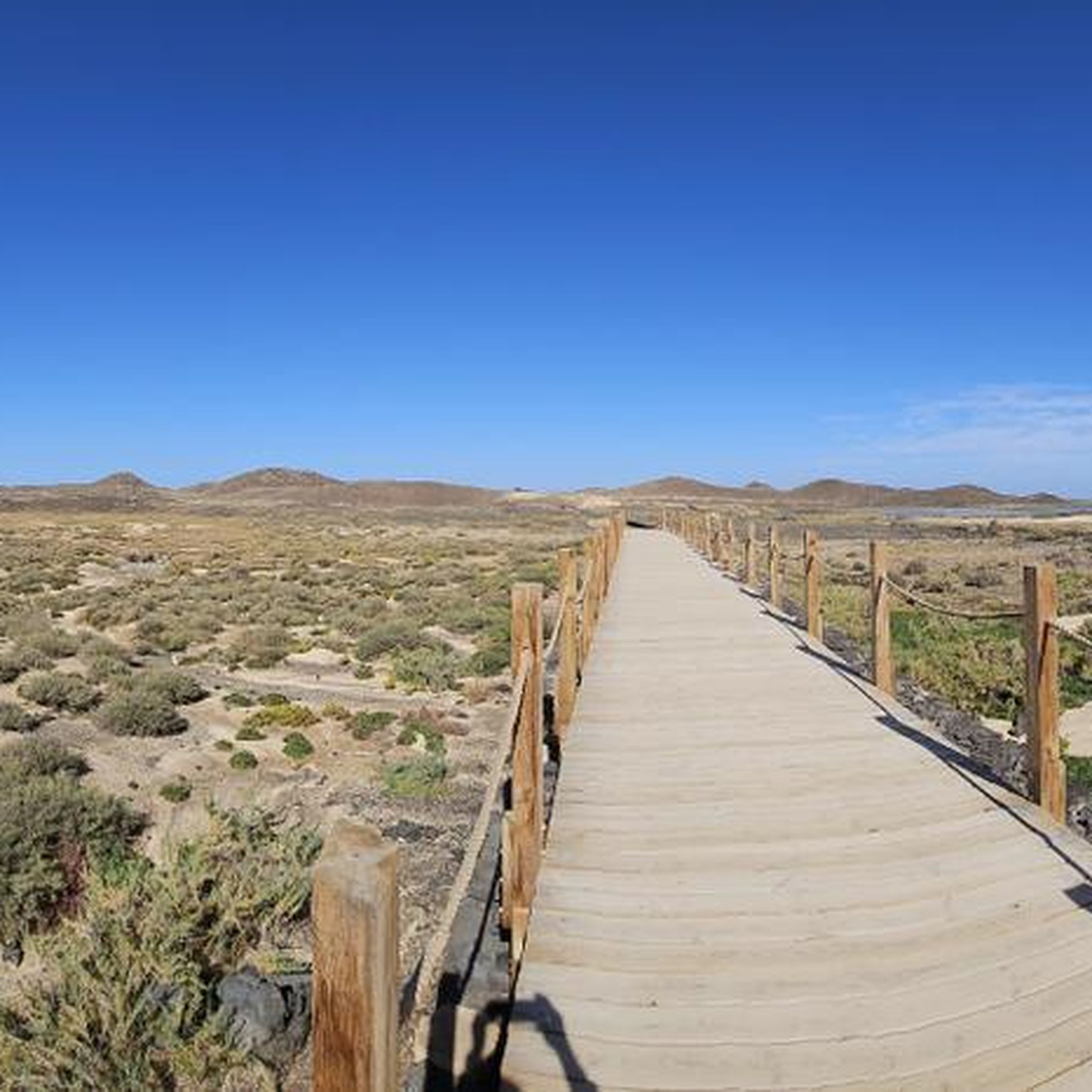
Hikes from bus stations in Venezia
Hikes from bus stations in Padova

Hikes from bus stations in Rovigo
Via Postumia – Hike between the Tyrrhenian and Adriatic seas
Via Romea Germanica – History, nature and spirituality
Other adventures in Veneto


Tips from the Community

Splendid view of the Marmolada
0
0

Lago Pianozes is a small artificial lake located south of Cortina d'Ampezzo, at an altitude of 1,181 meters. Easily accessible from the town of Campo di Sotto, it is known for its emerald waters, completely surrounded by a dense coniferous forest. On its shores stands the restaurant of the same name, while on the opposite side is a small seasonal kiosk.
1
0

Suspended between sky and rock!
0
0


From the Rifugio Auronzo, a stunning panorama opens up: striking peaks tower into the sky, while the changing colors of sunrise and sunset bathe the rocks in a special light. Those who want to experience this atmosphere uninterrupted should arrive early in the morning—later in the day, the place quickly fills with visitors.
41
0

An easy hike in August, but good fitness is required because the climb is steep and steady. Good hiking shoes are a must, because the descent, due to gravel, rocks, and stones, is not the easiest. With calm and a little caution, it's very easy.
1
0


Frequently Asked Questions
How many bus-accessible hiking trails are available in Veneto?
Veneto offers a vast network of hiking trails accessible by bus, with over 5950 routes available. These range from easy strolls to challenging mountain treks, ensuring options for all skill levels.
What is the best time of year to hike from bus stations in Veneto?
The best time to hike in Veneto generally depends on the region. For the Dolomites and higher alpine areas, late spring (May/June) through early autumn (September/October) offers pleasant weather and accessible trails. Lower areas like the Euganean Hills or Prosecco Hills are enjoyable year-round, though summer can be hot. Always check local bus schedules, as some routes, especially to higher elevations, may have reduced service or be seasonal.
What do other hikers enjoy most about bus-accessible trails in Veneto?
The komoot community highly rates hiking in Veneto, with an average score of 4.46 stars from over 68,000 ratings. Hikers frequently praise the stunning diversity of landscapes, from the majestic Dolomites to the serene Lake Garda, and the convenience of reaching trailheads via public transport. The well-maintained paths and breathtaking viewpoints are also often highlighted.
Are there easy hiking routes accessible by bus in Veneto?
Yes, Veneto has over 2300 easy hiking routes that are accessible by bus. These often include scenic walks around lakes like Lake Misurina, or gentler paths in areas like the Val di Zoldo, which are ideal for families or those seeking a relaxed outdoor experience.
Can I find circular hiking routes easily accessible by bus in Veneto?
Absolutely. Many bus-accessible trails in Veneto are designed as circular routes, allowing you to start and end at the same bus stop without needing to retrace your steps. A notable example is the Tre Cime di Lavaredo Loop Trail, which offers iconic Dolomite views and can be reached by bus to Rifugio Auronzo.
Which bus routes serve popular hiking areas in the Dolomites?
Several bus routes connect to popular hiking areas in the Dolomites. For instance, buses can take you to key passes like Passo Giau, from where you can embark on trails such as the View of Ra Gusela – Cinque Torri loop from Passo di Giau. Other routes serve areas like Falzarego Pass, providing access to hikes like the Nuvolau Hut – Cinque Torri loop from Falzarego Pass. It's advisable to check seasonal timetables for specific routes like the 444 bus to Rifugio Auronzo for Tre Cime di Lavaredo.
How can I reach Lake Garda hiking trails by public transport?
The northern part of Lake Garda, which is in Veneto, is well-served by public transport. Buses can take you to towns like Malcesine, from where you can access the Monte Baldo cable car for high-altitude trails, or to trailheads for panoramic routes like the Busatte–Tempesta Panoramic Trail. The historic Ponale Trail is also accessible via bus connections to Riva del Garda (just over the border in Trentino, but a common access point).
Are there bus connections to the Euganean Hills for hiking?
Yes, the Euganean Hills Regional Park, located south of Padua, has bus connections that allow access to its rolling volcanic landscapes. You can find routes that take you to villages within the park, providing starting points for trails like the Sentiero dei Colli, which offers panoramic views and rich flora.
Are there bus-accessible hikes in Veneto with waterfalls?
Yes, Veneto offers bus-accessible hikes where you can enjoy beautiful waterfalls. The Molina Waterfalls are a popular destination, and the Fanes area features impressive cascades like the Viewpoint over the rio and Fanes waterfalls, some of which can be reached via public transport connections to nearby towns.
Can I find dog-friendly hiking trails accessible by bus in Veneto?
Many hiking trails in Veneto are dog-friendly, provided your dog is kept on a leash and you follow local regulations, especially in protected areas. When planning a bus-accessible hike with your dog, always check the specific bus company's policy regarding pets, as rules can vary. Generally, trails in less crowded areas or regional parks are good options.
Are there family-friendly hiking options reachable by bus in Veneto?
Veneto offers numerous family-friendly hiking options accessible by bus. Areas like Val di Zoldo provide flatter terrain suitable for children, and easy ring tours around lakes such as Lake Misurina are also popular. Always check the difficulty rating and duration of the route to ensure it's appropriate for your family's fitness level.
What natural landmarks or viewpoints can I see on bus-accessible hikes in Veneto?
Bus-accessible hikes in Veneto lead to many spectacular natural landmarks and viewpoints. In the Dolomites, you can reach areas offering views of the iconic Cinque Torri or the summit of Piz Boè. Other highlights include the surreal turquoise waters of Lake Sorapis (though this requires a more challenging hike), or the panoramic vistas from Passo Giau. Along Lake Garda, trails offer stunning views of the lake and surrounding mountains, such as from Punta Larici.
Are there any huts or refuges along bus-accessible routes in Veneto?
Yes, many bus-accessible routes, especially in the Dolomites, feature mountain huts or refuges where you can rest, eat, or even stay overnight. Notable examples include the Auronzo Hut (near Tre Cime di Lavaredo), Nuvolau Hut, Lagazuoi Hut, and Biella Hut / Seekofel Hut. These provide essential services and enhance the hiking experience.
Most popular routes in Veneto
Most popular attractions in Veneto

Get inspired with the komoot mobile app


Didn’t find what you were looking for?
Check out more Hikes throughout Veneto below and find the perfect route in your destination.
Explore more
Browse the best Hikes in other regions.
