The best hikes from bus stations in the Tiroler Zugspitz Arena
4.6
(22351)
107,547
hikers
359
hikes
Bus station hiking trails in the Tiroler Zugspitz Arena traverse a diverse landscape characterized by the Wetterstein Mountains, Mieminger Kette, Lechtal Alps, and Ammergau Alps. The region features high alpine peaks, including the Zugspitze, alongside extensive forests, alpine pastures, and clear mountain lakes such as Seebensee and Blindsee. This varied terrain offers a range of elevations and natural features for hikers.
Best bus station hiking trails in the Tiroler Zugspitz Arena
- The most popular bus station hiking route is Ehrwalder…
Last updated: September 30, 2026
4.8
(3260)
14,553
hikers
15.0km
05:04
630m
630m
Embark on the Ehrwalder Alm - Seebensee Trail, a challenging hike that guides you through serene alpine meadows and dense, enchanting forests. As you ascend, the path frequently opens up…
4.6
(34)
148
hikers
9.00km
03:45
640m
640m
Moderate hike. Good fitness required. Mostly accessible paths. Sure-footedness required.

4.8
(610)
2,305
hikers
14.4km
04:04
270m
270m
Moderate hike. Good fitness required. Mostly accessible paths. Sure-footedness required.
4.8
(271)
1,396
hikers
4.86km
01:26
130m
130m
Easy hike. Great for any fitness level. Easily-accessible paths. Suitable for all skill levels.
4.7
(257)
1,242
hikers
7.11km
01:55
100m
100m
Easy hike. Great for any fitness level. Easily-accessible paths. Suitable for all skill levels.
Get access to more routes and recommendations from other explorers.
Already have an account?
Our route recommendations are based on thousands of hikes, rides, and runs completed by other people on komoot.
Start today with a free account
Your next adventure awaits.
Popular around Tiroler Zugspitz Arena
Hikes from bus stations around Ehrwald
Hikes from bus stations around Blindsee

Hikes from bus stations around Heiterwang

Hikes from bus stations around Heiterwanger Lake
Eagle Walk – Majestic hiking along Tirol's trail

North Alpine Trail 01 – Hike across Austria in 49 days
Eleven stunning ridge walks in Tyrol
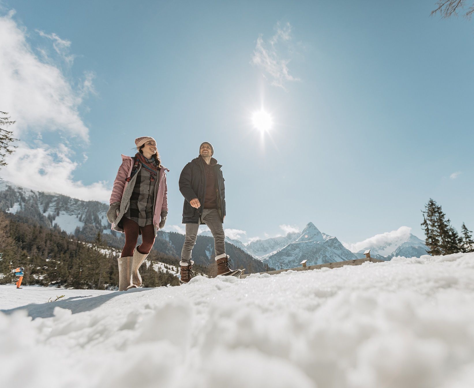
Step into winter hiking bliss – Tyrolean Zugspitz Arena
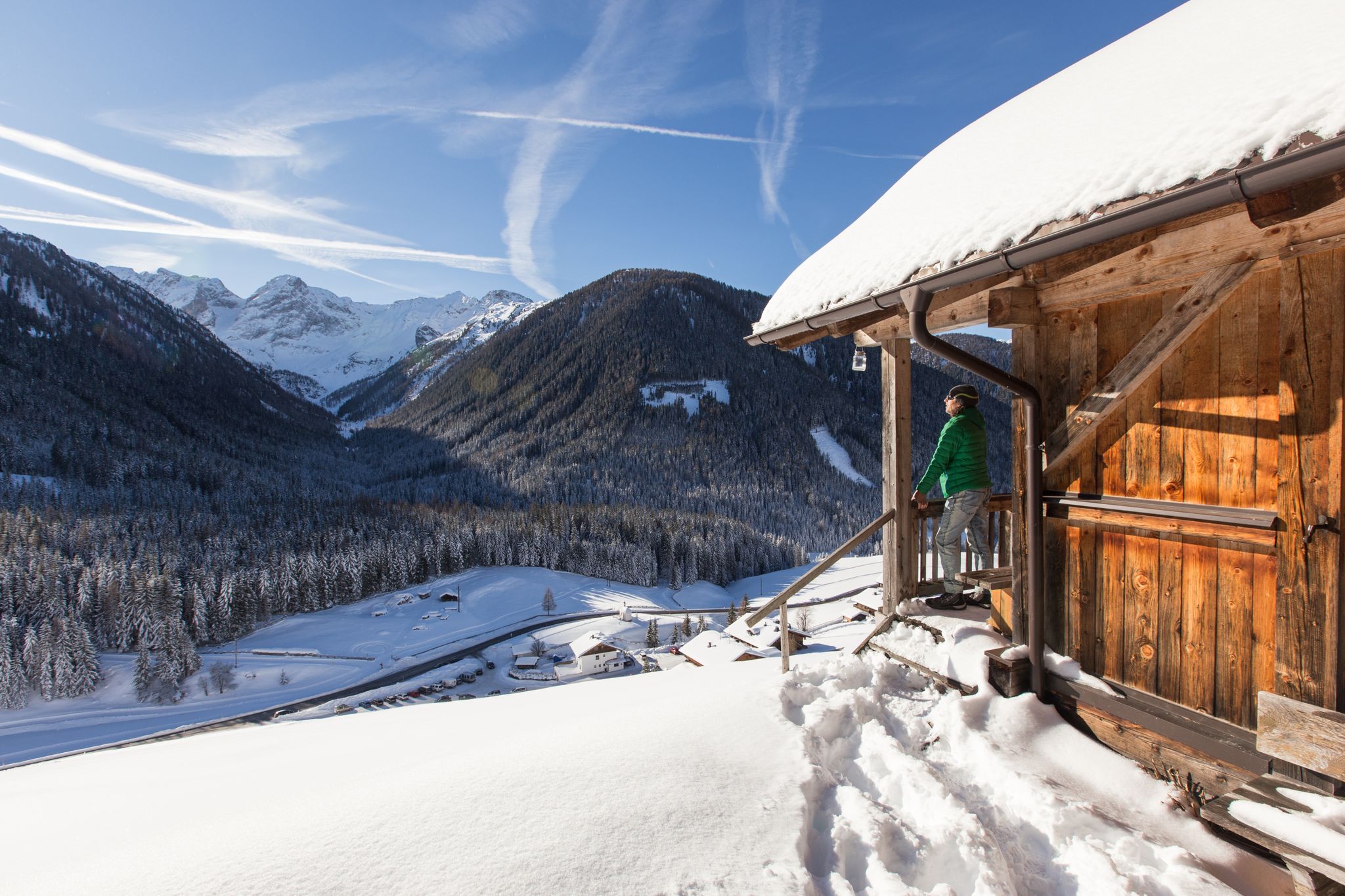
Winter highlights in Tyrol for everyone's taste
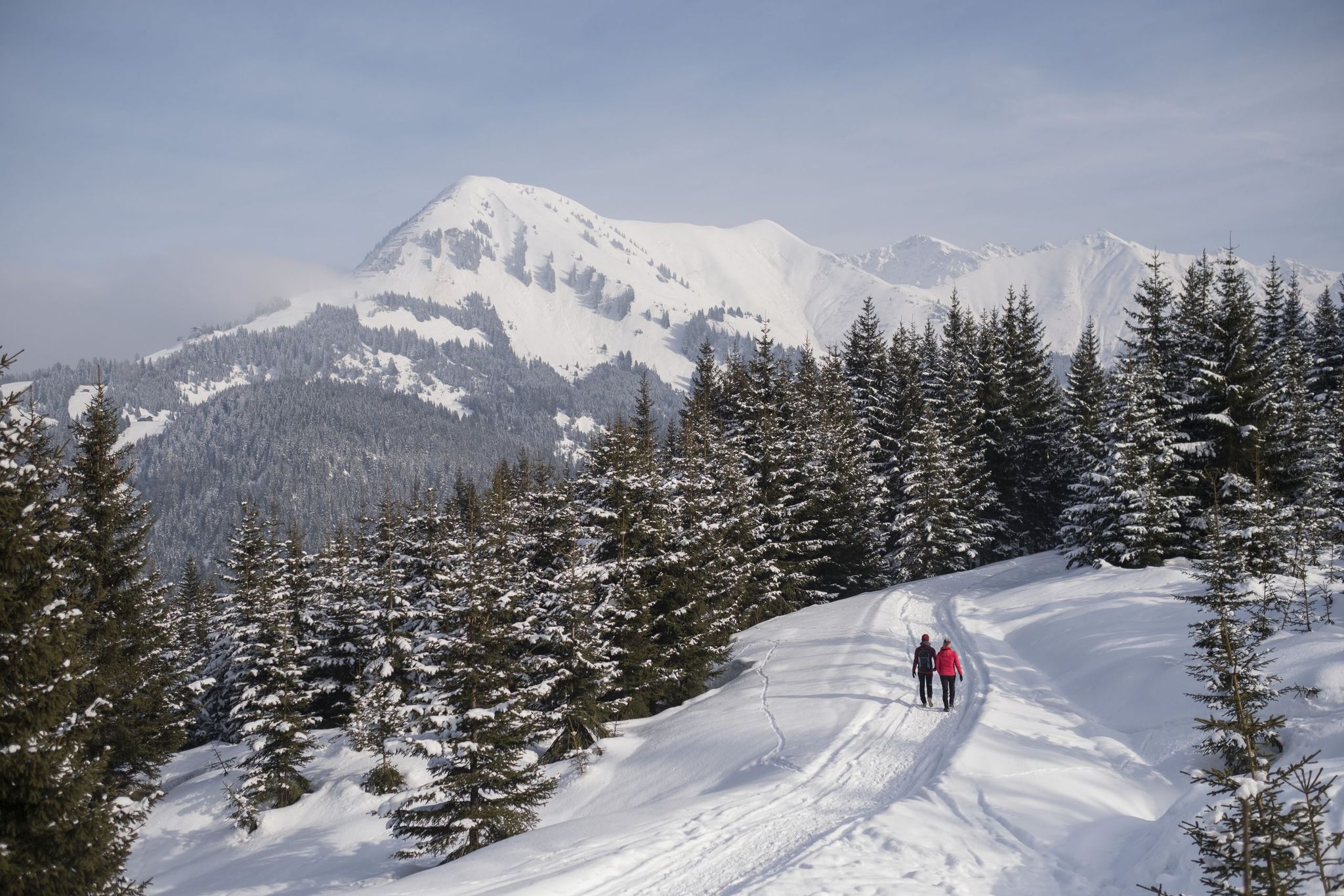
The 10 most beautiful winter hikes in Tyrol – snow guaranteed
Other adventures in the Tiroler Zugspitz Arena


Tips from the Community


Fairly easy to reach by e-bike and also a popular destination for hikers, so, as Thomas already mentioned, it's usually crowded. However, most people don't go any further than the lakeshore, and it quickly becomes quieter towards the top if you avoid the motorway to the Coburger Hütte.
4
1

Lonely giant carp discovered in the lake
0
0
Beautiful, long lake. Crystal-clear, ice-cold water.
0
0
Comfortable bench. We spotted a large carp in the lake.
0
0
Frequently Asked Questions
How many bus station hiking trails are available in the Tiroler Zugspitz Arena?
The Tiroler Zugspitz Arena offers over 300 hiking routes that are accessible from bus stations. These trails range in difficulty from easy strolls to challenging mountain tours, ensuring options for all experience levels.
Are there easy bus-accessible hiking trails suitable for beginners?
Yes, many easy trails are accessible by bus. For a relaxed experience, consider the Blindsee West Shore Trail – Blindsee loop from Fernpass, which offers gentle terrain and beautiful lake views. Another easy option is the Blindsee West Shore Trail – Blindsee loop from Blindsee.
Can I find family-friendly bus-accessible hikes in the region?
Absolutely. The Tiroler Zugspitz Arena is known for its family-friendly options. Many bus-accessible routes are suitable for families, often featuring gentle paths and scenic spots. The region also has interactive adventure trails designed for children, such as the water experience trail "Zugspitzi am Gaisbach" mentioned in the regional research.
What natural features and lakes can I explore on bus-accessible hikes?
The region is rich in stunning natural features. You can hike to picturesque mountain lakes like Seebensee, often described as one of Tyrol's most beautiful, or explore the crystal-clear waters of Blindsee. The Ehrwalder Alm - Seebensee Trail is a popular route to one of these stunning lakes. Heiterwanger See and Plansee also offer beautiful lakeside walks.
Are there any circular bus-accessible hiking routes?
Yes, there are several circular routes that can be accessed by bus. A great example is the Weissensee Shore – Blindsee West Shore Trail loop from Biberwier, which provides a scenic round trip around the lakes.
What kind of terrain and elevation gain can I expect on these trails?
The terrain varies significantly. You'll find everything from gentle, relatively flat paths around lakes and through alpine meadows to more challenging ascents with considerable elevation gain in the higher mountain areas. For instance, the To Ehenbichler Alm route involves a moderate climb of over 600 meters, while the Blindsee loops are much flatter.
Are there any huts or places to eat along bus-accessible hiking trails?
Yes, many trails lead to or pass by traditional mountain huts and alms where you can enjoy refreshments and local cuisine. For example, the Ehenbichler Alm is a popular destination for hikers. Other notable huts include Tuftlalm and Gamsalm, Ehrwald, providing excellent rest stops.
What do other hikers enjoy most about hiking in the Tiroler Zugspitz Arena?
The area is highly rated by the komoot community, with an average score of 4.6 stars from over 18,000 ratings. Reviewers often praise the stunning panoramic views, the diverse landscapes ranging from lush valleys to rugged mountain peaks, and the well-maintained, extensive network of trails suitable for all abilities.
Can I bring my dog on bus-accessible hiking trails in the Tiroler Zugspitz Arena?
Generally, dogs are welcome on most hiking trails in the Tiroler Zugspitz Arena. However, it's always advisable to keep them on a leash, especially in areas with livestock or wildlife. Be sure to check specific trail regulations or local signage, and always carry water for your dog.
What are some notable landmarks or viewpoints accessible via bus routes?
Beyond the trails themselves, you can access several significant landmarks and viewpoints. The majestic Zugspitze mountain, Germany's highest peak, offers breathtaking panoramic views and is accessible via the Tiroler Zugspitzbahn cable car, which can be reached by bus. The Ehrwalder Alm, accessible via the Grubigbahn cable car (Lermoos), also provides magnificent vistas and is a great starting point for various hikes.
What is the best time of year for bus-accessible hiking in the Tiroler Zugspitz Arena?
The best time for hiking is typically from late spring (May/June) through early autumn (September/October). During these months, the weather is generally pleasant, trails are clear of snow, and alpine flora is in full bloom. Some lower-elevation trails may also be accessible in winter for snowshoeing or winter hiking, but conditions can vary greatly.
Most popular routes in the Tiroler Zugspitz Arena
Most popular attractions in the Tiroler Zugspitz Arena

Get inspired with the komoot mobile app


Didn’t find what you were looking for?
Check out more Hikes throughout Tiroler Zugspitz Arena below and find the perfect route in your destination.
Explore more
Browse the best Hikes in other regions.
