The best hikes from bus stations in Landkreis Dillingen an der Donau
4.5
(2114)
9,468
hikers
645
hikes
Bus station hiking trails in Landkreis Dillingen an der Donau traverse a diverse landscape, blending the expansive Danube plain with the rolling foothills of the Swabian Alb. The region is characterized by the Danube River and its extensive riparian forests, offering varied topography from flat, accessible paths to routes with elevation changes. Hikers can explore natural monuments and scenic viewpoints across the valley.
Best bus station hiking trails in Landkreis Dillingen an der Donau
- The most popular bus station hiking…
Last updated: July 9, 2026
4.6
(60)
184
hikers
Easy hike. Great for any fitness level. Easily-accessible paths. Suitable for all skill levels.
4.7
(67)
242
hikers
Easy hike. Great for any fitness level. Easily-accessible paths. Suitable for all skill levels.

Sign up for free
4.7
(35)
108
hikers
Moderate hike. Good fitness required. Mostly accessible paths. Sure-footedness required.
4.5
(32)
100
hikers
7.69km
01:58
30m
30m
Easy hike. Great for any fitness level. Easily-accessible paths. Suitable for all skill levels.
4.7
(21)
63
hikers
Easy hike. Great for any fitness level. Easily-accessible paths. Suitable for all skill levels.
Get access to more routes and recommendations from other explorers.
Sign up for free
Already have an account?
Our route recommendations are based on thousands of hikes, rides, and runs completed by other people on komoot.
Start today with a free account
Your next adventure awaits.
Login or Signup
Popular around Landkreis Dillingen an der Donau

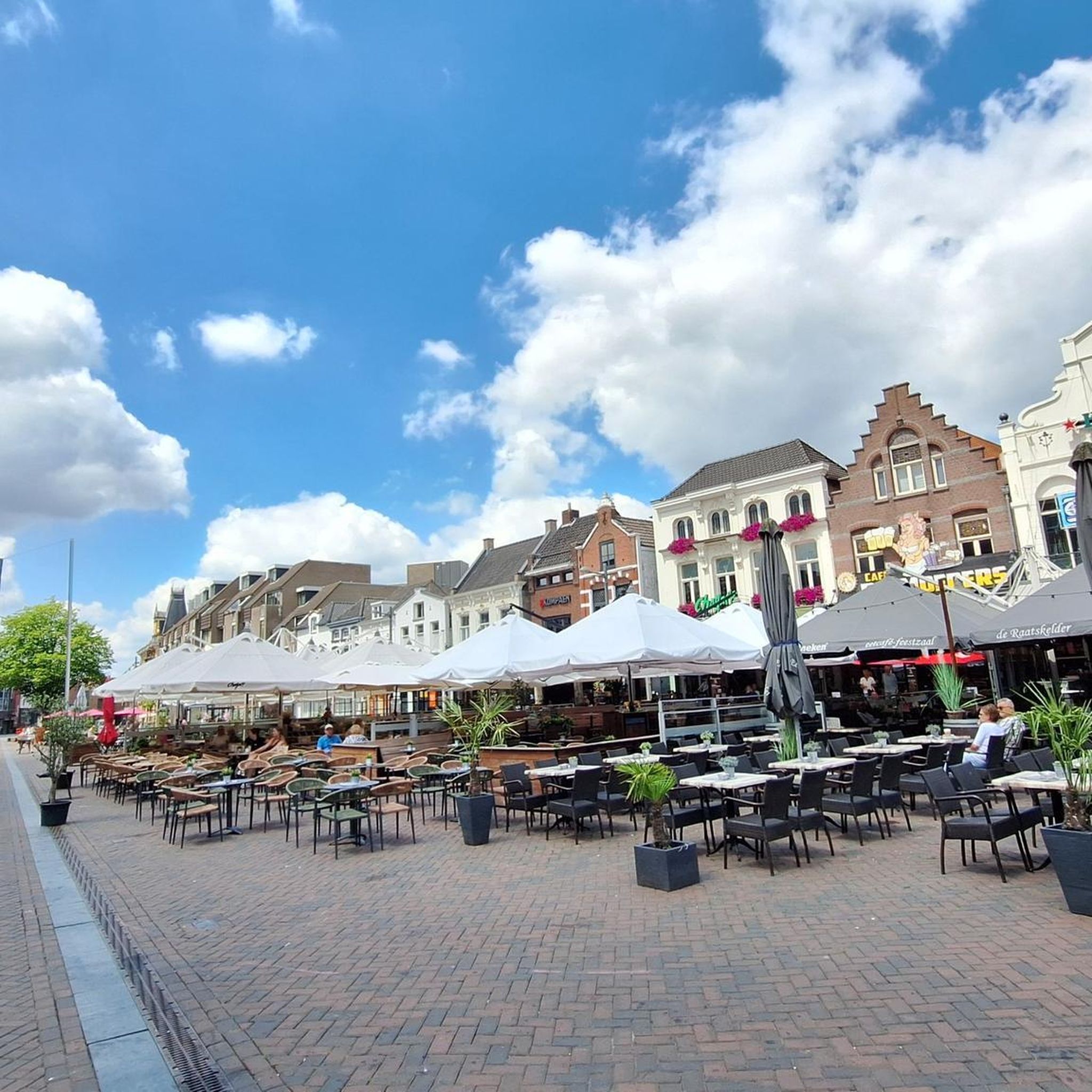
Hikes from bus stations in Gundelfinger Moos
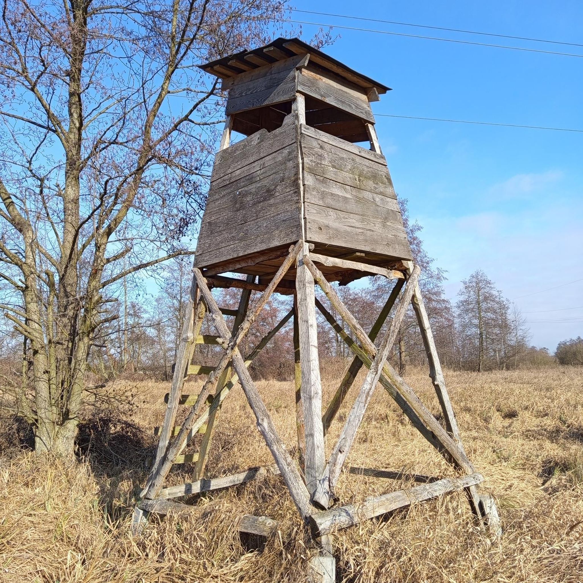
Hikes from bus stations in Apfelwörth
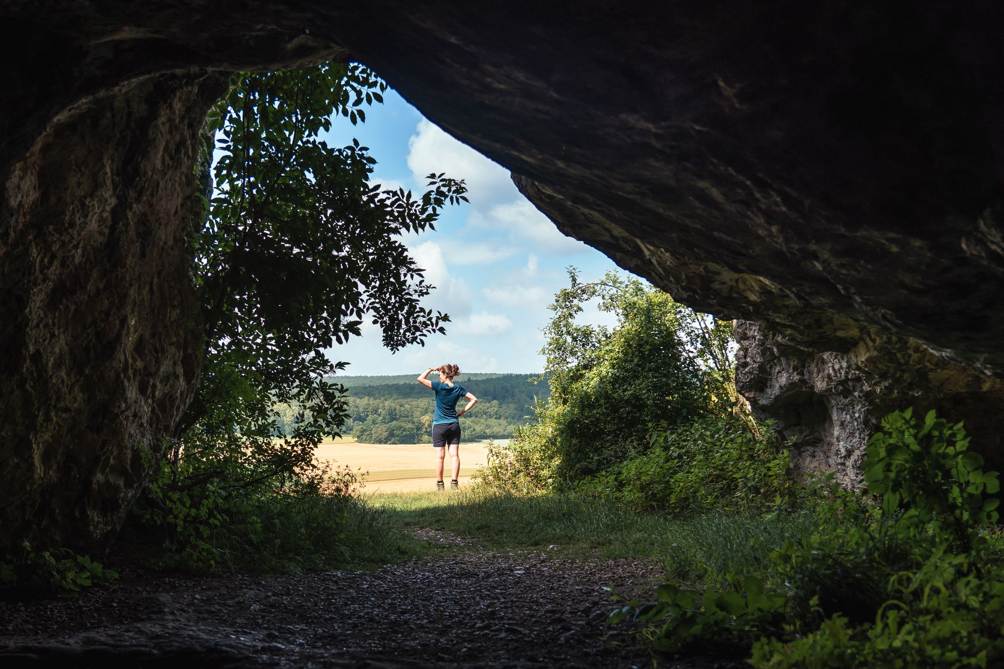
Hikes from bus stations in Dattenhauser Ried
Historic and exciting – hiking in the DONAURIES holiday region

No time for boredom – family hikes with a fun factor in Bayern
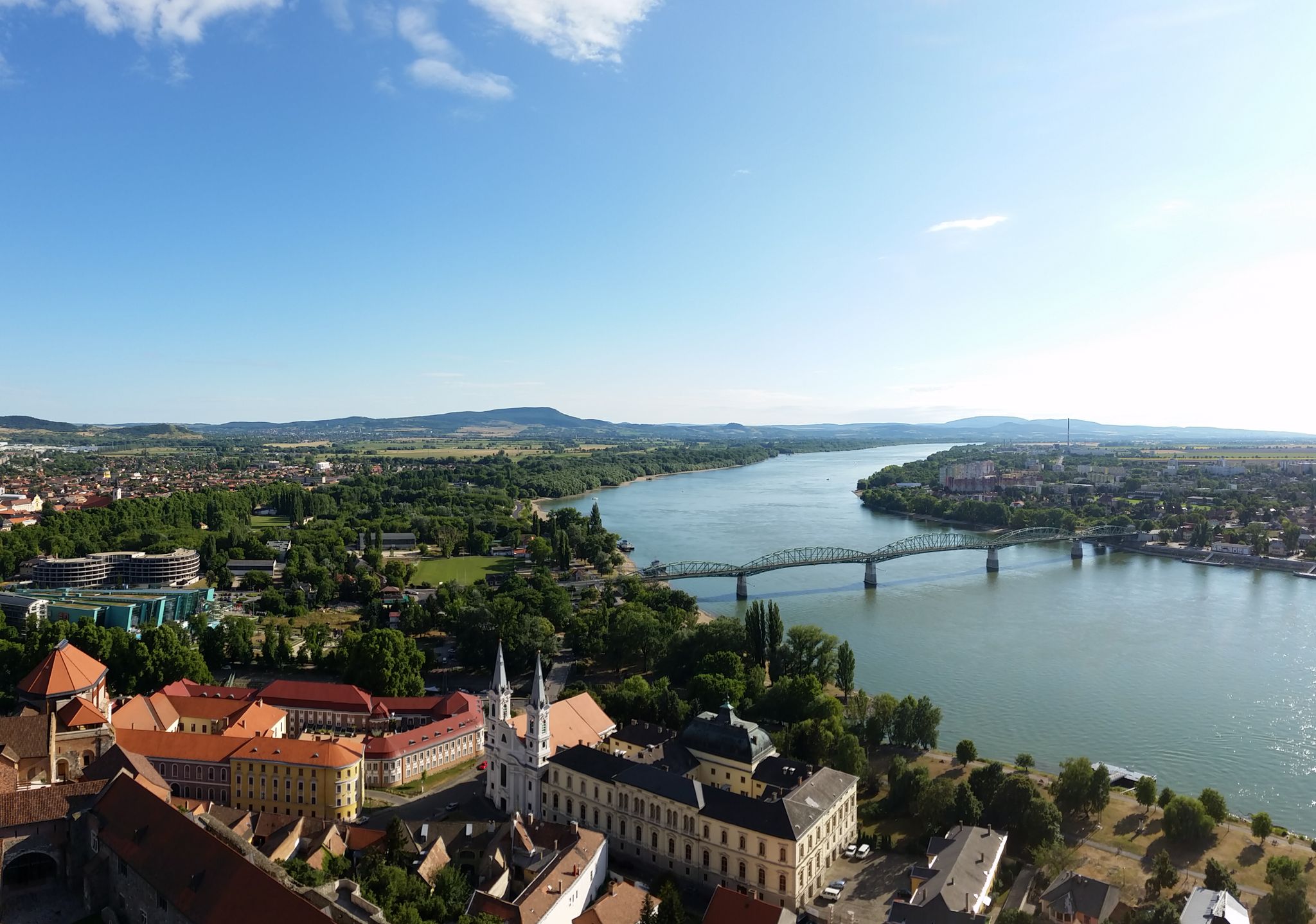
The Danube Cycle Path – From Donaueschingen to Budapest
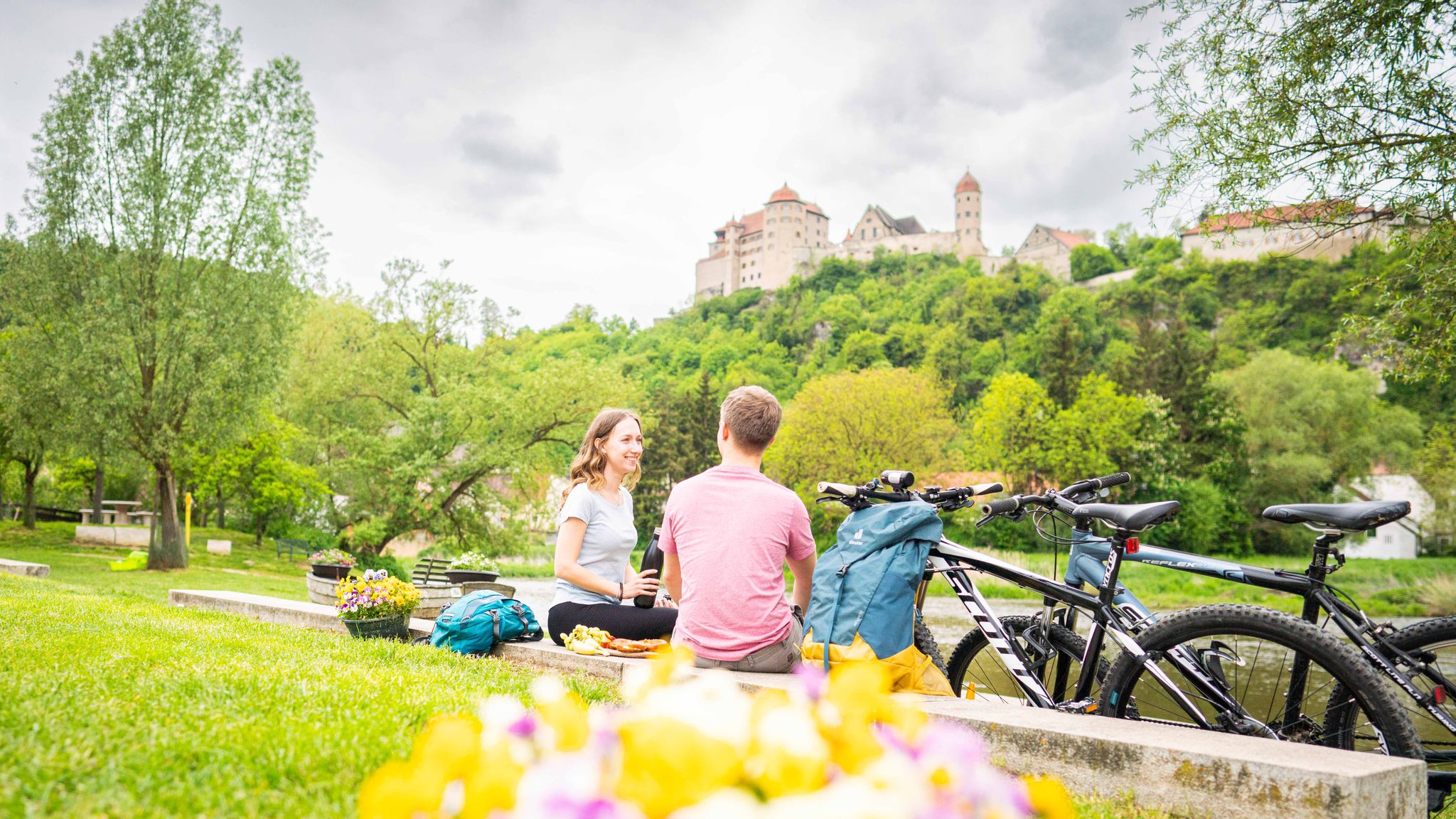
Cycle back in time in the Donau-Ries region
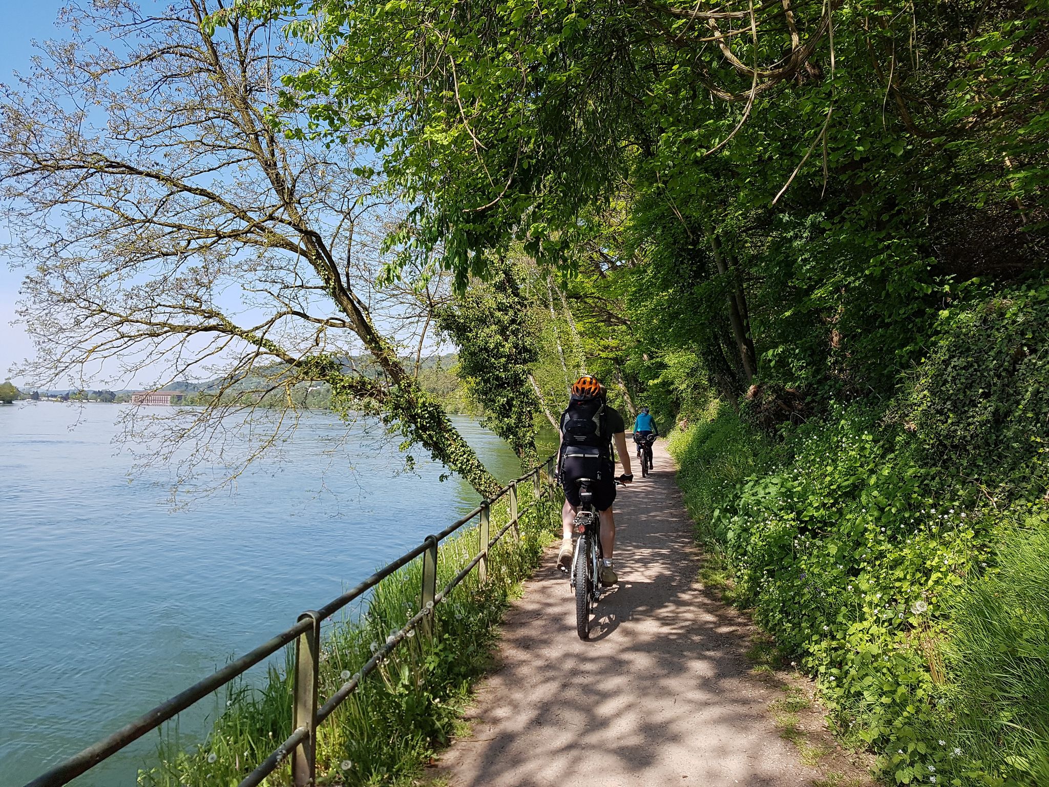
D-Route 6: Danube Route
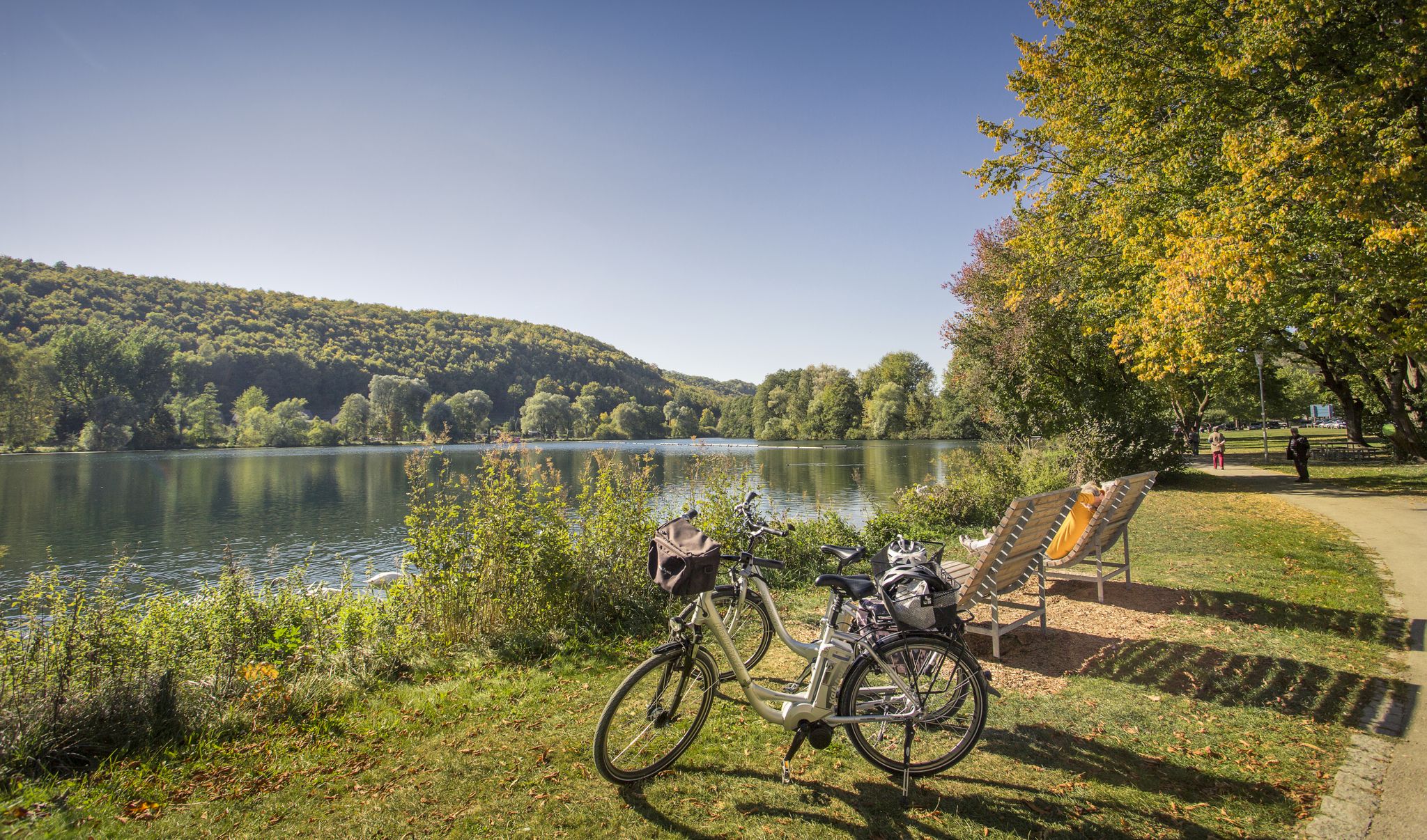
Prehistoric landscapes and the Ice Age – cycling in the Brenz region
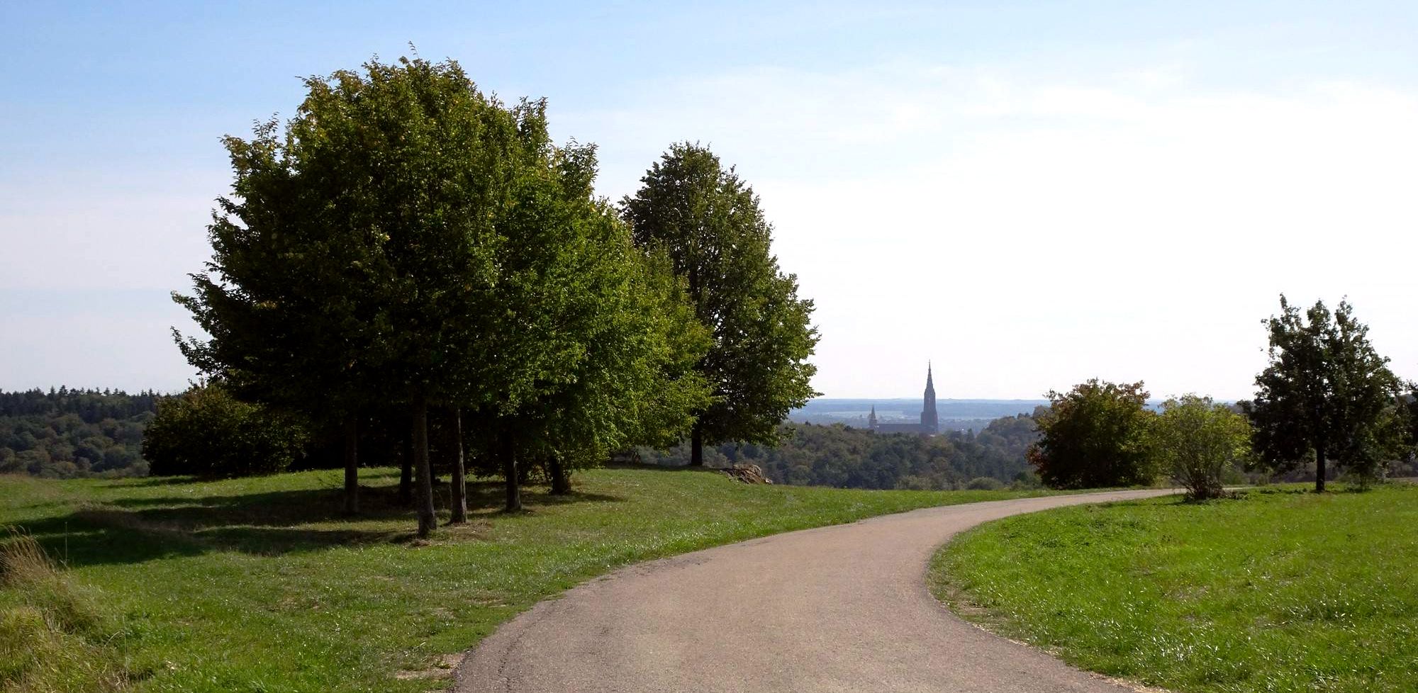
Full pleasure on the Danube valleys cycle path
Other adventures in Landkreis Dillingen an der Donau


Tips from the Community

A very idyllic hiking trail without sandy shoes. We really enjoyed it!
0
0

The unique cultural and natural idyll of the Birkenried Cultural Greenhouse offers concerts, a sculpture park, workshops, markets, and festivals. Please only visit the sculpture park during events, as it is private property.
0
0
This photo was taken in spring. Be sure to bring your binoculars!
2
0

Nice gag in the forest. Great for kids.
4
0
Our Auwaldsee is a pleasure to experience nature not only on sunny days but also in winter.
0
0

In September, many migratory birds can be observed.
3
0

Beautiful view of the panorama of Lauingen
2
0

This path is absolutely worth seeing
2
0
Frequently Asked Questions
How many bus station hiking trails are available in Landkreis Dillingen an der Donau?
There are nearly 660 hiking routes in Landkreis Dillingen an der Donau that are accessible from bus stations. This includes a wide range of options, with over 360 easy trails and nearly 280 moderate routes, ensuring there's something for every fitness level.
Are there any easy, family-friendly circular routes accessible by bus?
Yes, the region offers many easy circular routes perfect for families, often starting near bus stops. For instance, the Auwaldsee Nature Trail – Auwald Lake loop from Lauingen (Donau) is an easy 6.7 km loop around the idyllic Auwaldsee, showcasing diverse plant and animal life. Another great option is the Höchstädt Castle – View of Höchstädt Castle loop from Landkreis Dillingen an der Donau, which offers views of the historic castle.
What kind of natural features can I expect to see on these bus-accessible hikes?
The bus-accessible trails in Landkreis Dillingen an der Donau often lead through diverse landscapes. You can explore the expansive Danube plain, the unique riparian forests of the DonAUwald, and the rolling foothills of the Swabian Alb. Many routes feature the Danube River itself, tranquil lakes like Prälatenweiher, and various protected natural monuments. The region boasts 36 natural monuments, including ancient trees and significant landmarks.
Are there any trails where I can see specific animals, like Highland Cattle?
Yes, some trails offer unique wildlife viewing opportunities. For example, the Scottish Highland Cattle – View of the Lake loop from Gundelfinger Moos is an easy route where you might spot these distinctive animals in their natural setting. Another similar option is the Highland Cattle Meadow – Scottish Highland Cattle loop from Gundelfinger Moos.
What do other hikers enjoy most about the bus-accessible trails in Landkreis Dillingen an der Donau?
The area is highly rated by the komoot community, with an average score of 4.5 stars from nearly 1900 ratings. Reviewers often praise the region's diverse landscapes, the tranquility of the riparian forests, and the well-maintained paths that make hiking enjoyable for all skill levels. The accessibility by public transport is also a frequently highlighted positive aspect.
Can I find trails with good viewpoints or panoramic vistas?
Absolutely. While many trails traverse the flat Danube plain, the northern parts of the district extend into the foothills of the Swabian Alb, offering magnificent panoramic views over the Donau valley. The Donautal Panoramawege, though not all directly bus-accessible, illustrate the region's potential for scenic vistas. You can also find specific viewpoints like the Birdwatching Tower Sophienried along some routes.
Are there any moderate or more challenging routes accessible by bus?
Yes, for those looking for a bit more challenge, there are nearly 280 moderate routes. An example is the View of Hohenburgermühle – Hiking Trail in Geopark Ries loop from Diemantstein, which is a moderate 15.3 km loop with some elevation changes, offering a more extensive hiking experience.
What historical or cultural attractions can I see near bus station trails?
The region is rich in history. Many trails offer views of impressive castles, such as Schloss Höchstädt. You might also encounter charming old towns with cultural sites like Schloss Dillingen. The Rosenschloss Gundelfingen is another notable historical highlight in the area.
Are there any trails that follow the Danube River?
Yes, the Danube River is a central feature of the region, and many trails run alongside it or through its floodplains. The award-winning DonAUwald-Wanderweg, for instance, is Germany's flattest premium hiking trail and spans nearly 60 kilometers through the riparian forests along the Danube, inviting visitors to immerse themselves in this unique ecosystem. While not all sections are directly bus-accessible, many local loops connect to this riverine landscape.
What is the best time of year to hike these bus-accessible trails?
Landkreis Dillingen an der Donau offers enjoyable hiking experiences throughout much of the year. Spring brings blooming nature, while summer allows for longer days and pleasant walks along the river. Autumn showcases beautiful fall foliage, particularly in the riparian forests. Even in winter, many of the flatter, well-maintained paths can be suitable for a refreshing walk, provided conditions are safe.
Most popular routes in Landkreis Dillingen an der Donau
Most popular attractions in Landkreis Dillingen an der Donau

Get inspired with the komoot mobile app


Didn’t find what you were looking for?
Check out more Hikes throughout Landkreis Dillingen an der Donau below and find the perfect route in your destination.
Explore more
Browse the best Hikes in other regions.
