The best city hikes and walks in the Landkreis Weilheim-Schongau
4.5
(15168)
75,345
hikers
54
hikes
Urban hiking trails in the Landkreis Weilheim-Schongau offer diverse experiences across a landscape characterized by rolling hills, extensive forests, and the presence of the Ammer and Lech rivers. The region, situated in Upper Bavaria, features varied topography from the foothills of the Bavarian Alps to tranquil moorland areas. Urban routes often incorporate riverside paths, town centers, and local green spaces, providing accessible options for exploring the area's natural and historical elements.
Best urban hiking trails in the Landkreis Weilheim-Schongau
- The…
Last updated: July 10, 2026
4.7
(15)
33
hikers
4.68km
01:14
40m
40m
Easy hike. Great for any fitness level. Easily-accessible paths. Suitable for all skill levels.
4.0
(4)
38
hikers
Easy hike. Great for any fitness level. Easily-accessible paths. Suitable for all skill levels.

Sign up for free
3.0
(1)
16
hikers
Easy hike. Great for any fitness level. Easily-accessible paths. Suitable for all skill levels.
3.5
(2)
26
hikers
Easy hike. Great for any fitness level. Easily-accessible paths. Suitable for all skill levels.
4.0
(2)
18
hikers
3.28km
00:51
10m
10m
Easy hike. Great for any fitness level. Easily-accessible paths. Suitable for all skill levels.
Get access to more routes and recommendations from other explorers.
Sign up for free
Already have an account?
Our route recommendations are based on thousands of hikes, rides, and runs completed by other people on komoot.
Start today with a free account
Your next adventure awaits.
Login or Signup
Popular around Landkreis Weilheim-Schongau
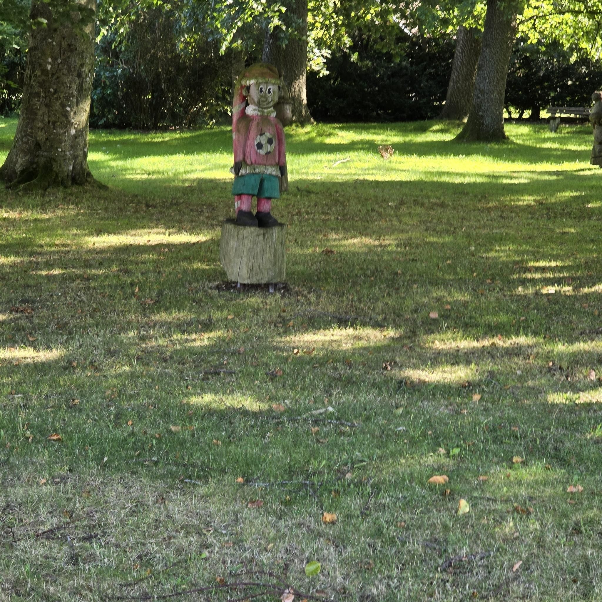
City hikes in Weilheim-Schongau
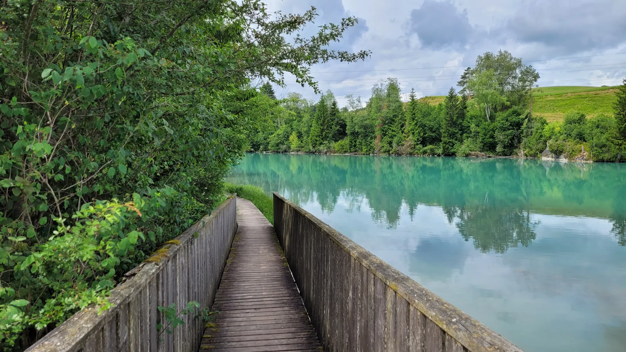
LechErlebnisWeg – multi-day Tour from Landsberg to Füssen

The Romantic Road – To the Pearls of Southern Germany
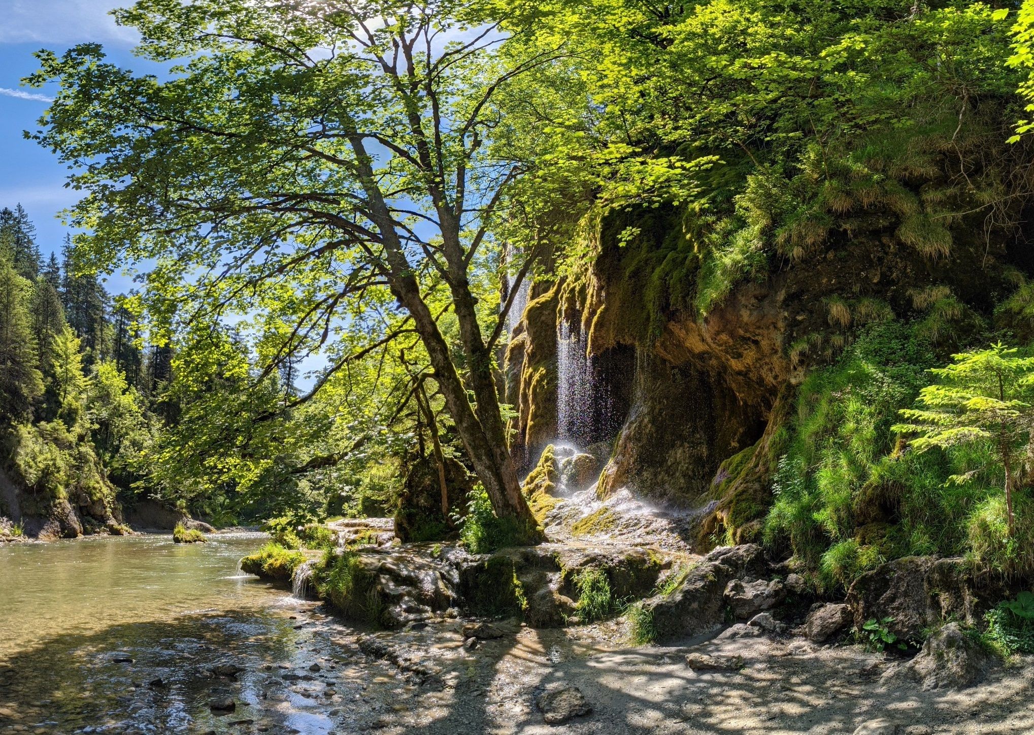
Ammergau Alps meditation path in Bavaria – Breathe in, breathe out
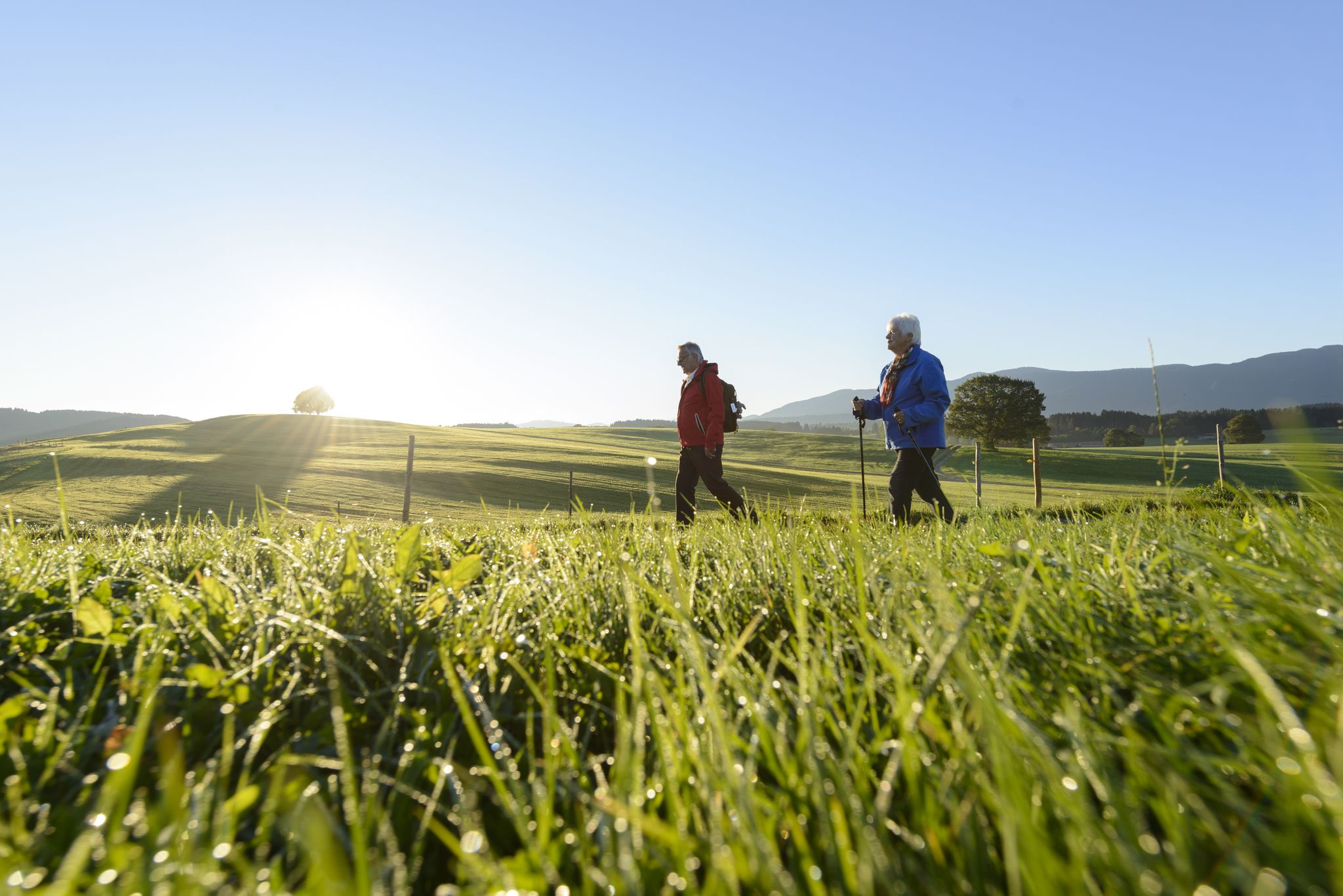
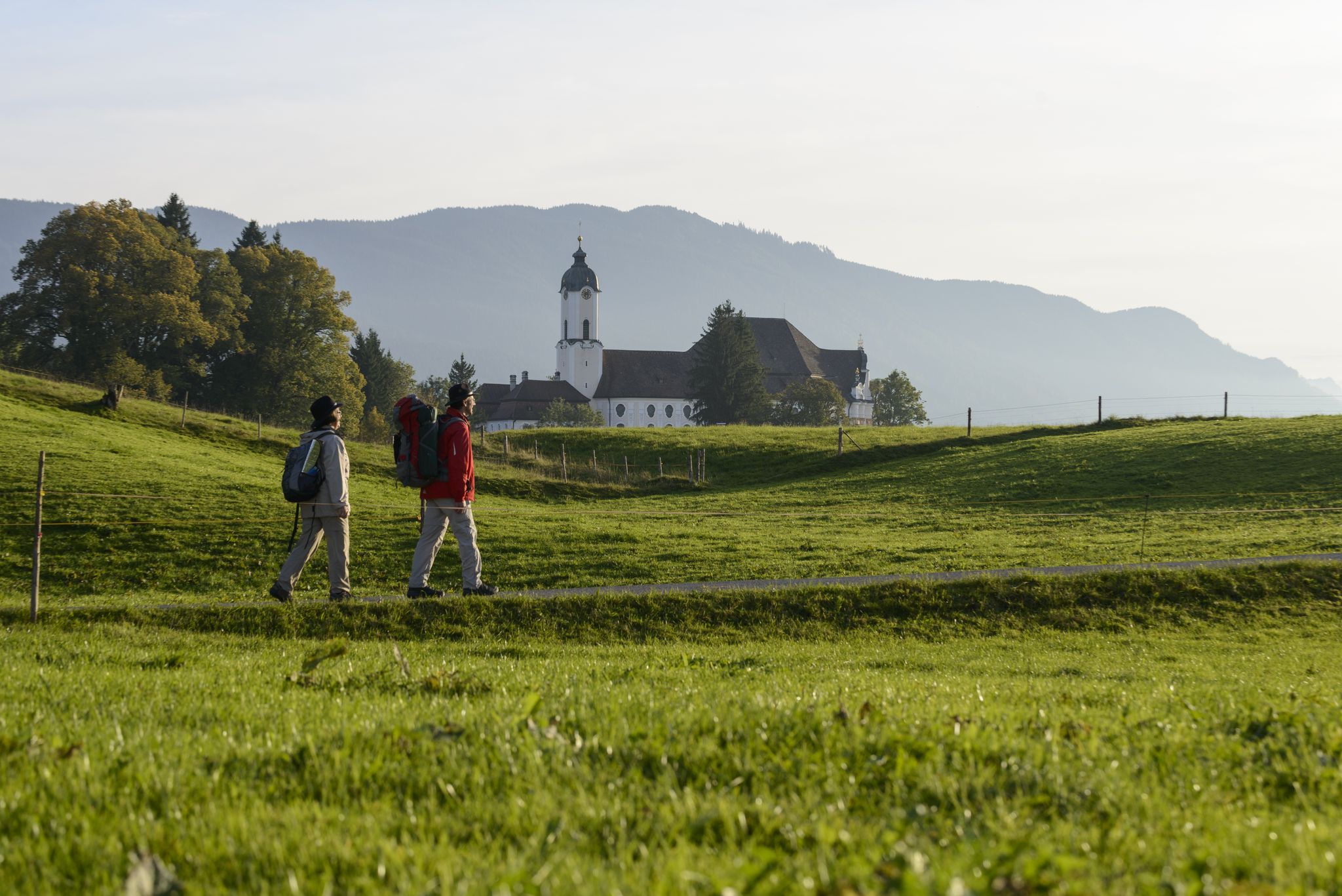
Sacred Landscape Pfaffenwinkel
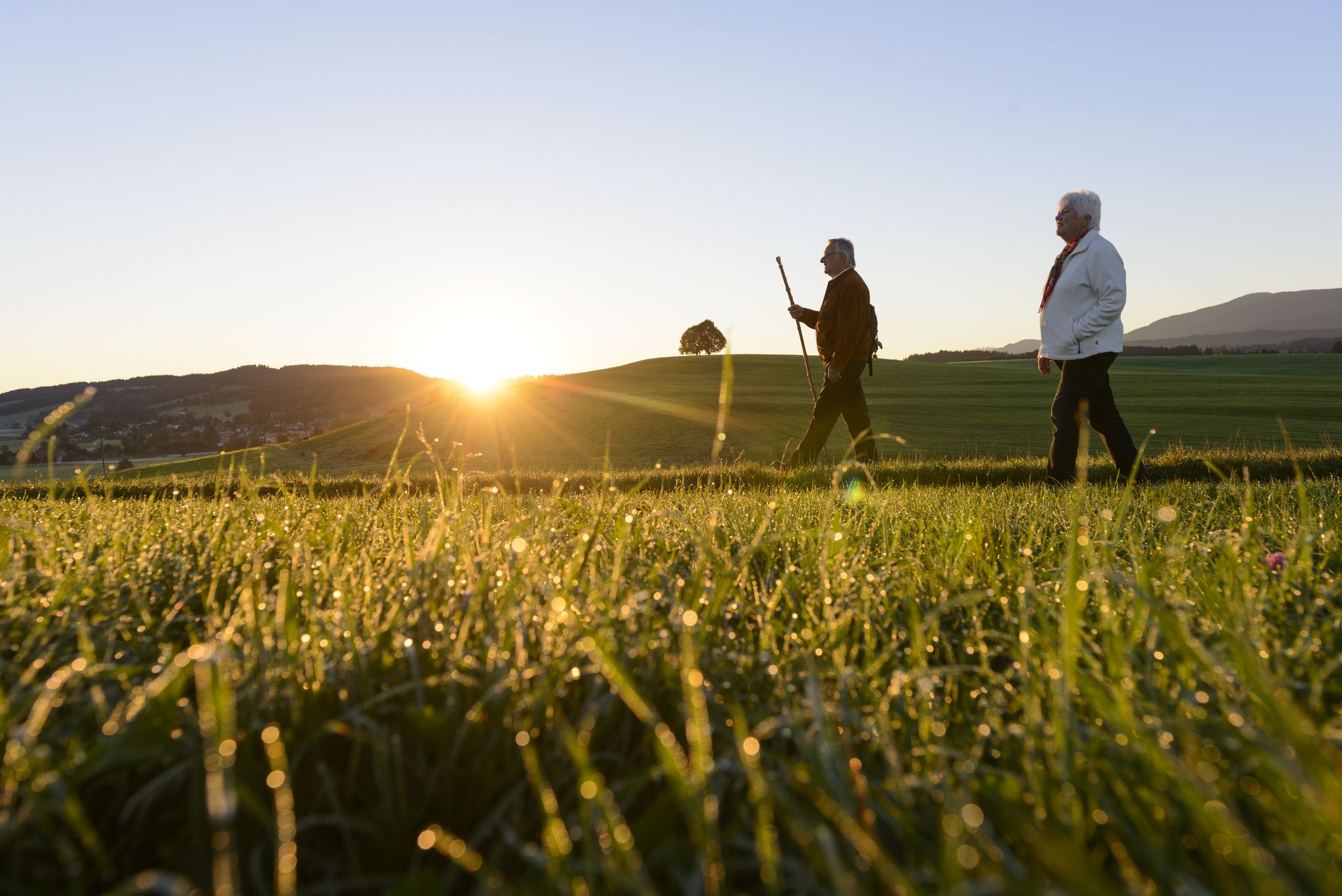
LechErlebnisWeg – discover the river and lake landscape of Bavaria
König-Ludwig-Weg: On the trails of Bavaria's fairytale König
Hike the King Ludwig Trail – in the footsteps of a Bavarian king
A feast for your eyes – hike in Germany’s beautiful Ostallgäu
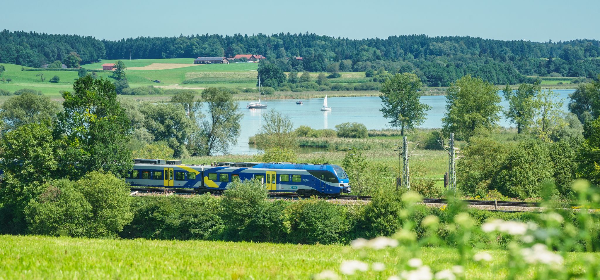
Out of the city – summer retreats with the Bavarian Regiobahn
Other adventures in the Landkreis Weilheim-Schongau


Tips from the Community


This is a reservoir for flood protection and at the same time generates 22MW of electricity with the run-of-river power plant.
0
0

With a little patience, you can watch fish from the shore! :)
0
0

The water level indicator is now beautifully painted. With the exception of the otter and the raccoon, I've already been able to observe all the animals (including the kingfisher) and excavators in and around the Ammer River in real life. Unfortunately, the first small graffiti smears have already appeared over the beautiful pictures (ACAB, etc.). The current water level reading can be found here: https://www.hnd.bayern.de/pegel/isar/weilheim-16613004?
0
0


Set amidst the idyllic Alpine foothills near the Osterseen lakes, the Penzberg Museum presents the world's largest collection of works by Heinrich Campendonk. As the youngest member of the "Blue Rider" movement, Campendonk found early inspiration in the mining town of Penzberg. The museum impressively showcases his artistic development – from early motifs to masterful reverse glass paintings full of color, depth, and expressiveness.
2
0

The museum boasts the largest collection of works by Heinrich Campendonk. Selected paintings can be seen in the exhibition. More information can be found at https://museum-penzberg.de/.
2
2

The water level of the Ammer is always measured at this point. The little house was creatively designed by Artdesign-Bastian.com. Nice to look at, with lots of little details 🐟 🐦 🦡 🦀 🦫 ⛰️⛰️ The current water level of the Ammer in Weilheim is 36 cm, measured at 11:30 p.m. on April 10, 2025. The zero point of the gauge is 550.40 m above sea level. Alert levels and flood hazard area: Alert level 1: 230 cm, alert level 3: 370 cm, alert level 4: 420 cm, flood hazard area HW100: 490 cm. Flood Consequences At a water level of 230 cm, the underpasses of the cycle and pedestrian path along the Ammer River are flooded, and the barriers on Wessobrunner Straße are closed. At a water level of 450 cm, the river overflows into the Weilheimer Au. At a water level of 510 cm, the lower edge of the St2057 bridge is covered with water. At a water level of 520 cm, the bridge superstructure of the Wielenbach railway bridge is submerged.
0
0
Frequently Asked Questions
How many urban hiking trails are available in Landkreis Weilheim-Schongau?
Landkreis Weilheim-Schongau offers a wide selection of urban hiking trails, with over 50 routes available. The majority of these, around 46, are considered easy, making them accessible for most hikers.
What makes urban hiking in Landkreis Weilheim-Schongau unique?
Urban hiking in Landkreis Weilheim-Schongau offers a unique blend of town exploration and natural beauty. You can discover historical town centers, charming chapels, and local culture, often with easy access to scenic riverside paths, tranquil moorlands, or glimpses of the Bavarian Alps. The region's 'Pfaffenwinkel' heritage means many trails pass by ancient churches and monasteries.
Are there easy urban hikes suitable for beginners or families?
Yes, the region is very beginner and family-friendly, with 46 out of 52 urban trails rated as easy. Routes like the Hannibal Mammoth Sculpture loop from Penzberg offer gentle paths and interesting sights suitable for all ages. Many trails are well-maintained and clearly marked, perfect for a relaxed outing.
What do other hikers say about the urban trails in Landkreis Weilheim-Schongau?
The urban hiking trails in Landkreis Weilheim-Schongau are highly regarded by the komoot community, boasting an average rating of 4.5 out of 5 stars from over 14,000 reviews. Hikers frequently praise the well-maintained paths, the diverse scenery combining urban charm with natural landscapes, and the accessibility of the routes.
Can I find circular urban walks in the region?
Absolutely. Many urban hikes in Landkreis Weilheim-Schongau are designed as circular routes, allowing you to start and end at the same point. For example, the Sonnenplateau am Lech – Lech River in Schongau loop from Schongau offers a pleasant circular walk along the river, perfect for exploring the area without retracing your steps.
Are there any natural attractions to see on urban hikes?
Yes, even on urban hikes, you can often encounter beautiful natural features. The region is known for its rivers like the Ammer and Lech, and picturesque lakes such as the Great Ostersee. You might also find unique moorland areas. Highlights like the Great Ostersee or the Brettleweg in the Wiesfilz moorland are accessible and offer stunning natural beauty.
What historical or cultural sites can I explore on urban trails?
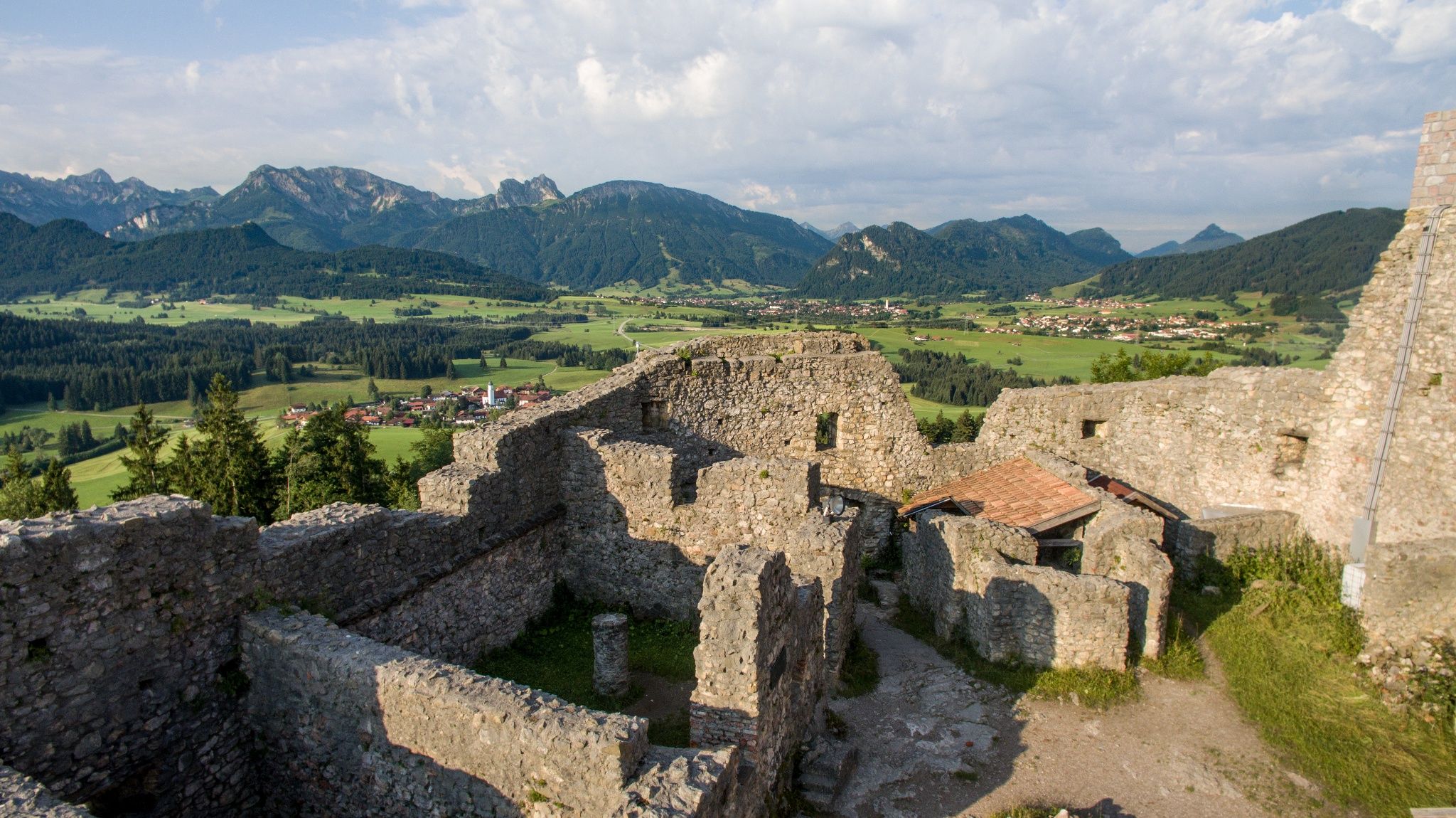
Landkreis Weilheim-Schongau, often called 'Pfaffenwinkel,' is rich in history and culture. Urban trails frequently lead past charming chapels, historic churches, and even ruins of old watchtowers. For instance, the Marienplatz, Schongau – Schongau Town Hall loop from Peiting allows you to explore the historic town center of Schongau with its notable architecture.
Are there urban hikes near the towns of Weilheim or Schongau?
Yes, both Weilheim and Schongau offer excellent starting points for urban hikes. Near Schongau, you can enjoy the Sonnenplateau am Lech – Lech River in Schongau loop, which explores the riverside and nearby areas. For Weilheim, while specific urban routes are not listed here, the town serves as a gateway to many regional trails, including those exploring the nearby Weilheimer Moos.
Are the urban hiking trails in Landkreis Weilheim-Schongau dog-friendly?
Many urban hiking trails in Landkreis Weilheim-Schongau are dog-friendly, allowing you to enjoy the scenery with your canine companion. It's always recommended to keep dogs on a leash, especially in populated areas or near wildlife, and to check local regulations for specific trails or nature reserves. The diverse landscapes, from riverside paths to forest edges, offer plenty for dogs to enjoy.
Can I access urban hiking trails using public transport?
Yes, many urban hiking trails in Landkreis Weilheim-Schongau are accessible via public transport, particularly those starting in or near larger towns like Penzberg, Weilheim, and Schongau. This allows for convenient travel to and from your chosen route without needing a car. Always check local bus and train schedules for the most up-to-date information on connections to your desired trailhead.
Are there urban hikes that pass by cafes or restaurants?
Yes, given the urban nature of these trails, many routes will take you through or near town centers where you can find cafes, restaurants, and pubs. This provides excellent opportunities to refuel or relax during or after your hike. For example, routes exploring towns like Schongau or Penzberg will offer various dining options.
Most popular routes in the Landkreis Weilheim-Schongau
Most popular attractions in the Landkreis Weilheim-Schongau

Get inspired with the komoot mobile app


Didn’t find what you were looking for?
Check out more Hikes throughout Landkreis Weilheim-Schongau below and find the perfect route in your destination.
Explore more
Browse the best Hikes in other regions.
