The best hikes from bus stations in Regen
4.5
(50150)
186,358
hikers
1,597
hikes
Bus station hiking trails in Regen are situated within the Bavarian Forest, a region characterized by dense woodlands, rolling mountains, and diverse natural landscapes. The area features prominent peaks like Grosser Arber and Rachel, offering varied elevation profiles for hikers. Numerous rivers, including the Schwarzer Regen, and lakes such as Großer Arbersee, contribute to the region's scenic appeal. This environment provides a network of trails accessible directly from public transport hubs.
Best bus station hiking trails in Regen
- The most…
Last updated: September 30, 2026
4.8
(322)
1,230
hikers
15.4km
05:01
670m
670m
Hard hike. Very good fitness required. Sure-footedness, sturdy shoes and alpine experience required.
4.7
(366)
1,152
hikers
12.0km
03:28
320m
320m
Moderate hike. Good fitness required. Easily-accessible paths. Suitable for all skill levels.

4.6
(339)
1,111
hikers
7.25km
02:14
270m
260m
Hike the moderate Lo 3: Brennes - Kleiner Arbersee Adventure Trail, featuring varied terrain, panoramic views, and the unique Kleiner Arbers
4.7
(757)
3,932
hikers
1.88km
00:30
20m
20m
Easy hike. Great for any fitness level. Easily-accessible paths. Suitable for all skill levels.
4.8
(664)
2,309
hikers
12.9km
04:17
580m
580m
Moderate hike. Good fitness required. Mostly accessible paths. Sure-footedness required.
Get access to more routes and recommendations from other explorers.
Already have an account?
Our route recommendations are based on thousands of hikes, rides, and runs completed by other people on komoot.
Start today with a free account
Your next adventure awaits.
Popular around Regen
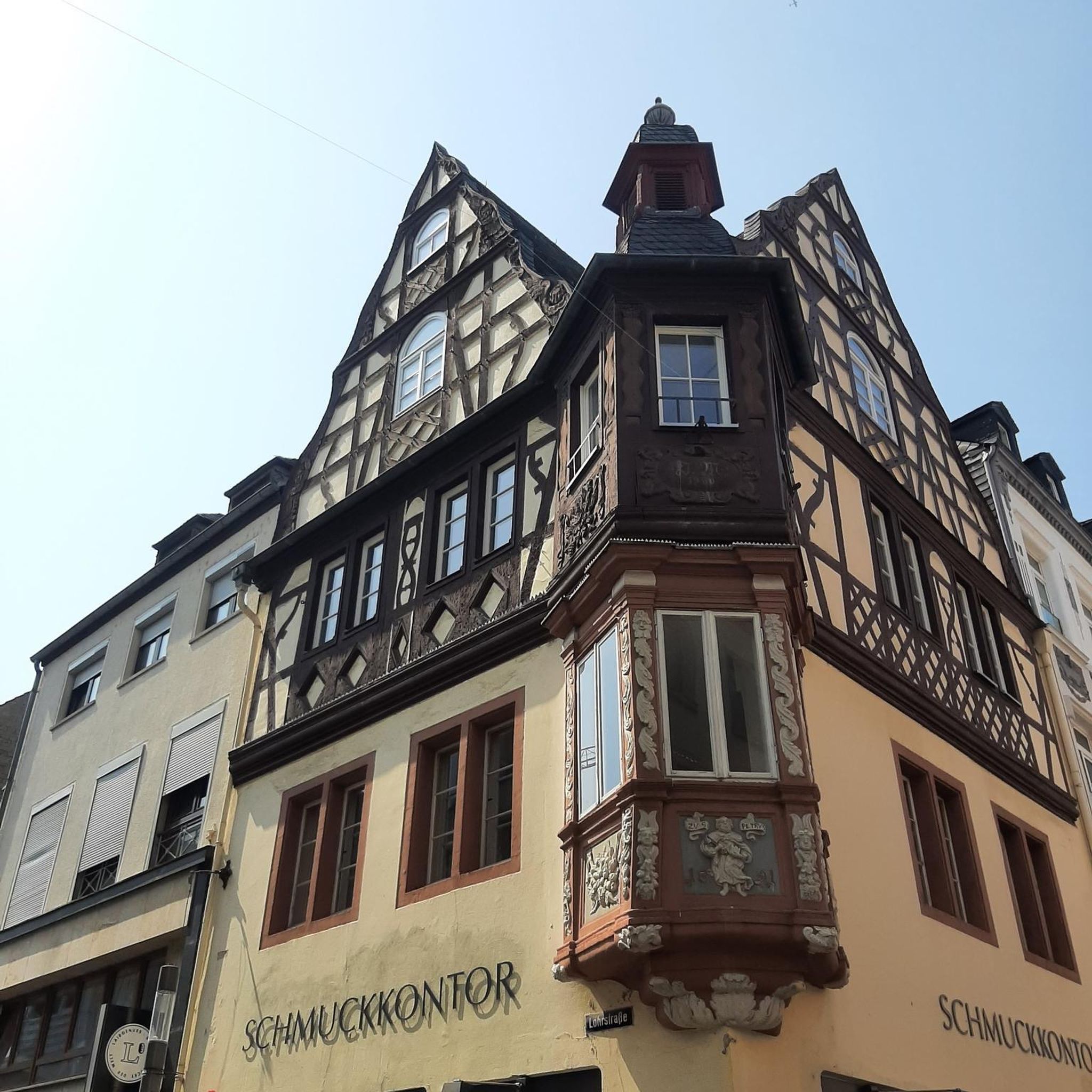
Hikes from bus stations around Bodenmais
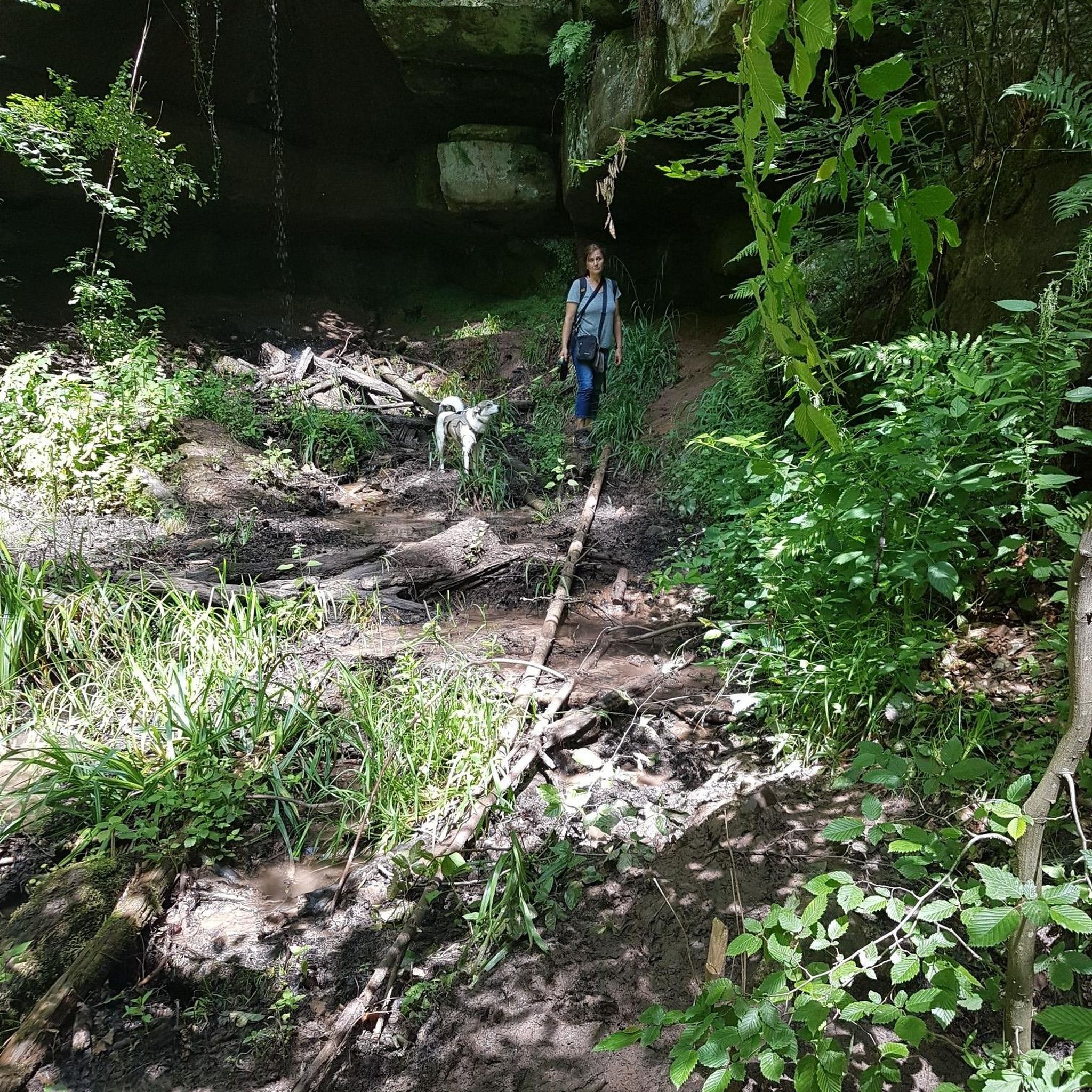
Hikes from bus stations in Kerngebiet Im Nationalpark Bayerischer Wald

Hikes from bus stations around Viechtach

Hikes from bus stations around Zwiesel

Hikes from bus stations in Wildschutzgebiet Für Auerwild „Arber“

Hikes from bus stations around Höllensteinsee
Hikes from bus stations in Oberfrauenau

Hikes from bus stations around Trinkwassertalsperre Frauenau
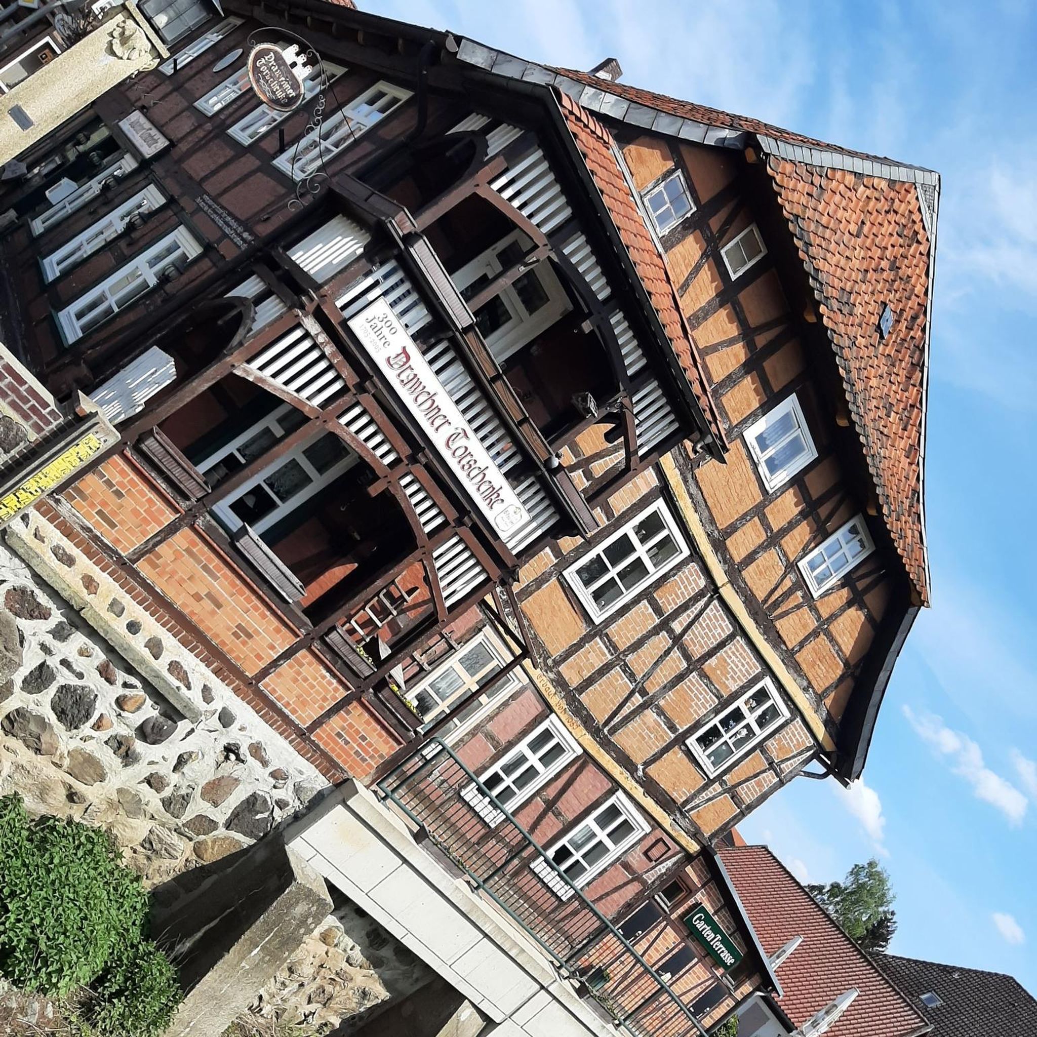
Hikes from bus stations around Regener Lake

The Goldsteig – 38 stages between Upper Palatinate and Passau
Other adventures in Regen


Tips from the Community

An approx. 2 km long, easy-to-walk circular trail leads around the impressive Großer Arbersee. Parking unfortunately costs a whole 4 Euros! Food and drink are also available on site.
1
0

The floating islands on Großer Arbersee and Kleiner Arbersee in the Bavarian Forest are unique, ice-age natural phenomena made of so-called floating fens, which have no firm connection to the lakebed. They were formed in the 19th century when both cirque lakes were artificially dammed for timber rafting. As a result, the densely rooted peat mats detached from the ground and have since floated on the water's surface.
7
0
The circular route around the Großer Arbersee in the Bavarian Forest is a very easy walk. The route leads right through an ice-age nature reserve past dense coniferous forests, an impressive cliff face, and the famous floating islands.
7
0

The 38-hectare primeval forest-like forest stand in the Hans-Watzlik-Hain with its imposing tree giants west of the village of Zwieslerwaldhaus is accessible via the Urwalderlebnisweg trail. Here stands the Dicke Tanne (also called Westhütter Tanne), with a trunk diameter of two meters and a height of over fifty meters, it is the strongest tree in the Bavarian Forest. Along the trail, there are numerous other large trees of the spruce, beech, and fir species.
8
0
At an altitude of about 850 meters above sea level, there is this wooden hiking hut, open on one side, with a bench as shelter in bad weather. As the hut is located in the national park, overnight stays are strictly forbidden.
8
0

In clear weather, you can see both the summit structure of the Großer Arber with its observation tower and ski area, as well as the Alps chain in the distance!
0
0

Chamer Hütte is a very nice resting place
0
0

Light and shadow, a wonderful nature experience in any weather
0
0
Frequently Asked Questions
How many bus station hiking trails are available in Regen?
Regen offers a vast network of hiking trails accessible directly from bus stations. You can explore over 1500 routes in the region, with a significant number starting conveniently from public transport stops.
Are there easy hiking trails accessible from bus stations in Regen?
Yes, Regen provides numerous easy hiking options from bus stations, perfect for a relaxed outing. Over 740 routes are classified as easy, allowing you to enjoy the beautiful Bavarian Forest without strenuous climbs. Many of these trails are well-maintained and suitable for various fitness levels.
What kind of terrain can I expect on bus station hikes around Regen?
Hikes around Regen, starting from bus stations, offer diverse terrain. You'll find paths winding through dense forests, along riverbanks like the Schwarzer Regen, and sometimes ascending gentle slopes to viewpoints. The region is characterized by the low-mountain range of the Bavarian Forest, so expect a mix of forest paths, gravel tracks, and occasional rocky sections, especially on more challenging routes.
Are there circular hiking routes starting from bus stops in Regen?
Yes, many bus-accessible routes in Regen are designed as circular walks, allowing you to return to your starting point without needing additional transport. For example, the Schwarzer Regen River loop from Sohl offers a scenic circular experience along the river.
What is the best time of year to go hiking from bus stations in Regen?
Spring and autumn are particularly recommended for hiking in Regen. In spring, the landscapes burst with vibrant green, while autumn transforms the forests into a rich tapestry of red and gold. Summer offers pleasant temperatures for forest walks, and even in colder months, the region provides extensive networks of rolled or cleared winter hiking trails in lower areas.
Can I bring my dog on hikes starting from bus stations in Regen?
Many trails in the Regen region are dog-friendly, making it a great destination for hiking with your canine companion. Always keep your dog on a leash, especially in nature reserves and near wildlife. Check specific route details on komoot for any restrictions or recommendations regarding dogs.
Are there family-friendly hiking options accessible by bus in Regen?
Absolutely. Regen offers several family-friendly hiking options from bus stations. These trails often feature easier terrain and shorter distances, sometimes including points of interest for children. The region's diverse trails cater to all levels, ensuring enjoyable outings for families.
Which bus station hikes in Regen feature waterfalls?
The Regen area is home to the impressive Rißloch Waterfalls, the highest in the Bavarian Forest. While specific bus routes directly to the falls might vary, you can often find bus connections to nearby starting points. For example, you can explore the Riesloch Falls, Lower Riesloch Falls, or the Riesloch Gorge Waterfalls, which are significant natural attractions in the region.
Are there any castles or historical sites accessible via bus station hikes in Regen?
Yes, you can combine your bus-accessible hikes with visits to historical sites. The region features several castles and ruins. For instance, the historic Weißenstein Castle Ruins are located near the significant Pfahl quartz ridge, offering a blend of nature and history. Other notable sites include Altnußberg Castle Ruins and Buchenau Castle.
What natural landmarks can I discover on bus-accessible trails in Regen?
Regen's bus-accessible trails lead to a variety of natural landmarks within the Bavarian Forest. You can discover the unique 'swinging lawns' of the Großer Arbersee, a cirque lake from the last ice age, or the fascinating Wackelstein (Wobbling Stone). The region is also known for the Pfahl, a 150-kilometer-long quartz ridge, offering distinctive geological features.
What do other hikers enjoy most about hiking from bus stations in Regen?
The komoot community highly rates the hiking experiences in Regen, with an average score of 4.57 stars. Reviewers often praise the region's serene environment, the well-maintained and signposted trails, and the diverse landscapes ranging from dense forests to picturesque lakes and impressive waterfalls. The convenience of accessing these trails via public transport is also frequently highlighted.
Are there challenging hikes from bus stations in Regen for experienced hikers?
Yes, for experienced hikers seeking a challenge, Regen offers difficult routes accessible by bus. An example is the demanding Through the Hellbachgespreng to the Großer Falkenstein, which features significant elevation gain and requires good physical condition. These trails often lead to higher peaks, offering rewarding panoramic views of the Bavarian Forest.
Can I find places to eat or drink along bus-accessible hiking routes in Regen?
Yes, many hiking routes in Regen, including those accessible by bus, pass by traditional Bavarian inns (Gaststätten) or cozy cafes. Especially near popular trailheads or villages, you'll find opportunities to refuel with local cuisine and refreshments. It's always a good idea to check opening hours in advance, particularly during off-peak seasons.
Most popular routes in Regen
Most popular attractions in Regen

Get inspired with the komoot mobile app


Didn’t find what you were looking for?
Check out more Hikes throughout Regen below and find the perfect route in your destination.
Explore more
Browse the best Hikes in other regions.
