The best family-friendly hikes and walks in Cham
4.5
(38384)
136,919
hikers
3,100
hikes
Family friendly hiking trails in Cham, Germany, are set within a diverse landscape where the Bavarian Forest meets the Upper Palatinate Lake District. The region features a blend of mountains, such as the accessible peaks of the Bavarian Forest, and picturesque river valleys like the Regen River. This geographical position provides varied terrain, from gentle riverside paths to more elevated forest trails, suitable for different family activity levels. The area is characterized by dense woodlands, open meadows, and natural water…
Last updated: September 30, 2026
4.5
(218)
801
hikers
14.9km
04:48
640m
650m
Moderate hike. Good fitness required. Easily-accessible paths. Suitable for all skill levels.
4.6
(66)
199
hikers
5.23km
01:36
170m
180m
Easy hike. Great for any fitness level. Easily-accessible paths. Suitable for all skill levels.

4.7
(454)
1,368
hikers
9.83km
02:47
200m
200m
Moderate hike. Good fitness required. Mostly accessible paths. Sure-footedness required.
4.8
(256)
952
hikers
12.3km
04:38
640m
640m
Hard hike. Good fitness required. Sure-footedness, sturdy shoes and alpine experience required.
4.6
(28)
67
hikers
15.0km
04:26
440m
440m
Moderate hike. Good fitness required. Easily-accessible paths. Suitable for all skill levels.
Get access to more routes and recommendations from other explorers.
Already have an account?
Our route recommendations are based on thousands of hikes, rides, and runs completed by other people on komoot.
Start today with a free account
Your next adventure awaits.
Popular around Cham
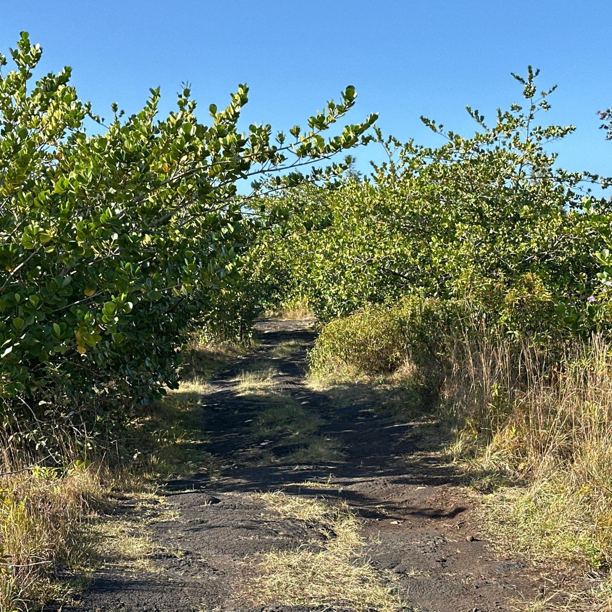
Family-friendly hikes in Kleiner Arbersee
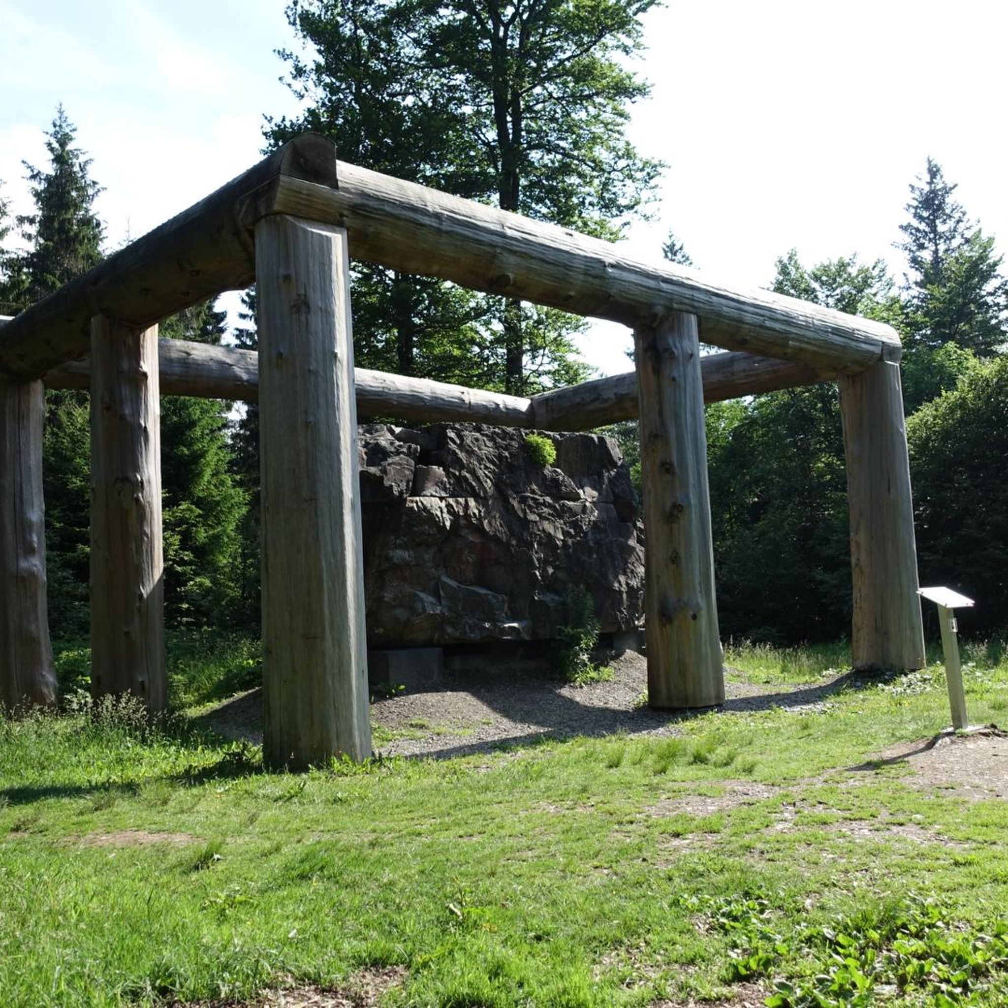
Family-friendly hikes around Waldmünchen

Family-friendly hikes around Furth im Wald

Family-friendly hikes around Blaibacher Lake
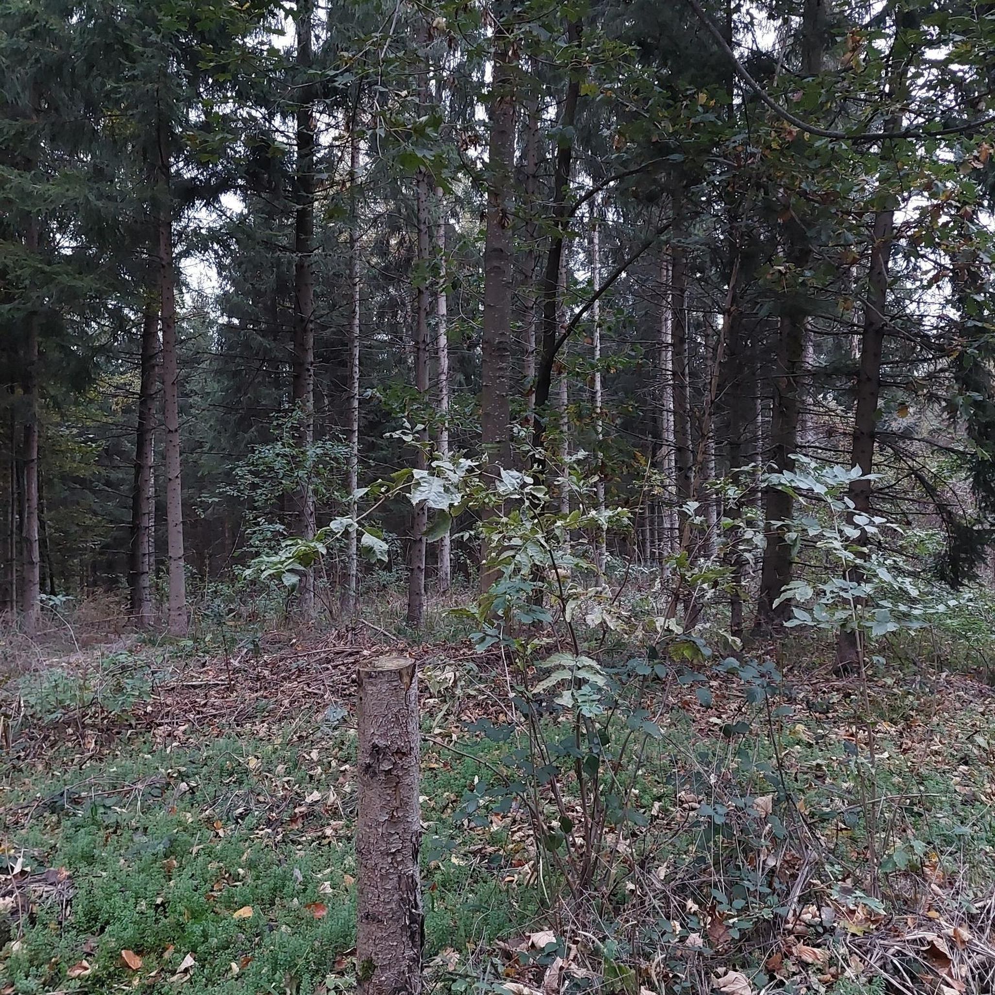
Family-friendly hikes around Roding
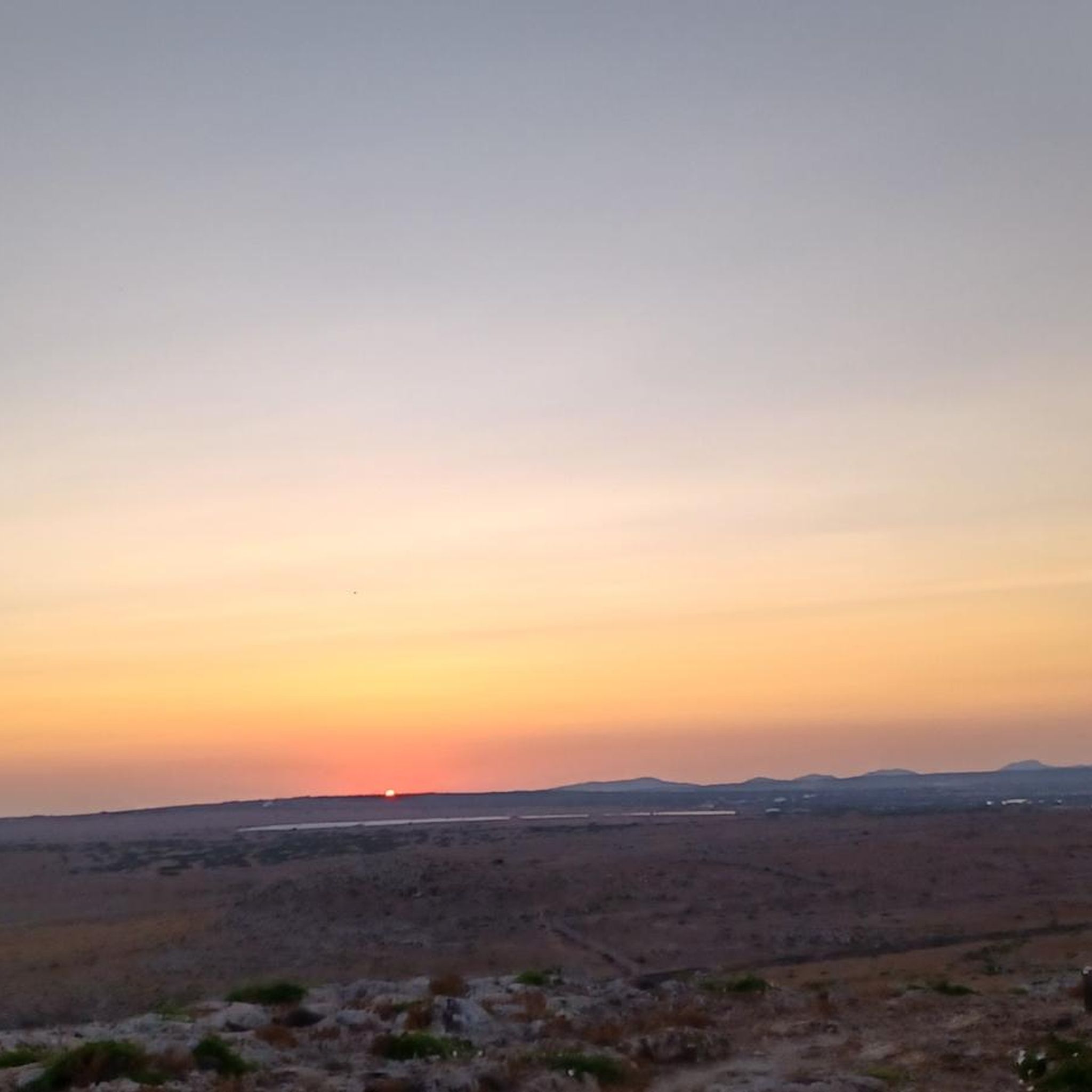
Family-friendly hikes around Regentalaue zwischen Cham und Pösing
Family-friendly hikes around Drachensee
Family-friendly hikes around Perlsee
Family-friendly hikes around Großer Neubäuer Weiher
Family-friendly hikes around Silbersee


Tips from the Community

Long stony climb but it's worth it!
0
0

Is it real or tourist marketing?
0
0
Beautiful but demanding circular trail
0
0

A rustic wooden bridge, which slightly changes direction in the middle with a kink, leads here over the Höllbach stream. On days when the wooden planks are particularly slippery, the railing attached to one side provides a little more security.
9
0
Not only the granite block sea and the roaring stream of the Höllbach shape the nature reserve. Some open meadow areas also belong to it.
14
0
The Hölle nature reserve encompasses an approximately 600-meter-long section of the Höllbachtal valley in the Falkensteiner Vorwald with the surrounding forest areas. The block sea of bizarrely weathered granite blocks along the Höllbach, as this section of the Wiesent's upper course is called, is an approximately 7000 square meter sub-area of the nature reserve established in 1950. It is part of the European "Natura 2000" protected area network. In the shady, cool and moist climate even in summer, numerous animal and plant species worthy of protection have been preserved.
9
0
The Höllbach flows through a rocky valley in the Falkensteiner Vorwald, characterized by mighty gneiss and granite blocks piled on top of each other. During the last ice age, they weathered from the bedrock into a block sea. At this point, the rock appears in a particularly impressive form of "wollsack weathering" (sack weathering). The blocks are largely covered by mosses.
12
1
Here begins the fantastic circular hiking trail through the "Hölle" nature reserve, which leads for long stretches along the Höllbach through the valley.
10
0
Frequently Asked Questions
How many family-friendly hiking trails are available in Cham?
Cham offers a vast network of trails, with over 1400 easy routes perfect for families. In total, there are more than 3100 hiking options to explore in the region.
What kind of terrain can we expect on family hikes in Cham?
The Cham region, nestled between the Bavarian Forest and the Upper Palatinate Lake District, offers diverse terrain. You'll find gentle paths along rivers like the Regen, forested trails, and some routes with moderate ascents offering panoramic views, such as those around the Hohenbogen hike.
Are there any easy circular routes suitable for families with younger children?
Yes, there are many easy circular routes. For a pleasant walk, consider the Friedrich-Nietzsche-Wanderweg, which is an easy 5.2 km loop. The region also features paths like the beaver nature trail along the Regen River, which is ideal for a relaxing family stroll.
What are some interesting landmarks or natural attractions we can see on family hikes?
The Cham region is rich in natural beauty and historical sites. You can discover fascinating rock formations like those on the Hölltal Rock Formations loop. Other points of interest include the Schrazelloch Cave or the Marian Grotto on the Regen River. The Buchberg Castle Ruins also offer a quiet circular route with a historical highlight.
What is the best time of year for family hiking in Cham?
Spring and autumn are particularly beautiful for family hikes in Cham. Spring brings wildflowers and fresh greenery, while autumn offers stunning foliage colors. Summer is also great, especially for trails that offer shade or lead to refreshing spots. Even in winter, some paths are suitable for walks, though conditions can vary.
Are there any dog-friendly hiking trails in the Cham area?
Many trails in Cham are dog-friendly, allowing you to bring your furry companions along. It's always a good idea to keep dogs on a leash, especially in nature reserves or areas with livestock, and to carry water for them. Specific routes like the Friedrich-Nietzsche-Wanderweg are generally suitable for dogs.
Where can we find refreshments or places to eat near the hiking trails?
You'll find various options for refreshments. Many trails lead past or near traditional Bavarian inns and huts. For example, the Hohenbogen Mountain Inn is a great stop on the Hohenbogen hike. The region also has numerous cafes and restaurants in towns and villages close to trailheads.
What do other hikers enjoy most about family-friendly hiking in Cham?
The Cham region is highly rated by the komoot community, with an average score of 4.57 stars. Reviewers often praise the diverse landscapes, from the rugged Bavarian Forest peaks to the serene Upper Palatinate Lake District, and the well-maintained paths that cater to all ages and abilities.
Are there any trails that offer good viewpoints for families?
Absolutely! The region is known for its panoramic views. The Kreuzfelsen, part of the Kaitersberg, offers excellent views of Bad Kötzting and the front Bavarian Forest. While more challenging, the Great Riedelstein also provides fantastic panoramic vistas. For a less strenuous option, many local trails offer scenic overlooks of the valleys and surrounding nature.
Is public transport available to reach hiking trailheads in Cham?
Public transport options are available in the Cham region, though their frequency and reach can vary depending on the specific trailhead. It's advisable to check local bus and train schedules in advance, especially when planning to reach more remote starting points. Many popular trailheads also offer dedicated parking facilities.
Most popular routes in Cham
Most popular attractions in Cham

Get inspired with the komoot mobile app


Didn’t find what you were looking for?
Check out more Hikes throughout Cham below and find the perfect route in your destination.
Explore more
Browse the best Hikes in other regions.
