The best volcano hikes and walks in the Hochschwarzwald
4.5
(110318)
431,262
hikers
24
hikes
Volcano hiking trails in the Hochschwarzwald are characterized by a diverse landscape shaped by ancient volcanic activity, particularly evident in the Kaiserstuhl region. This area features rolling hills, vineyards, and unique geological formations. Dense forests, deep gorges, and picturesque lakes also define the terrain, offering varied environments for outdoor exploration. Elevations in the region can reach over 3,280 feet (1,000 meters), providing panoramic views and a range of hiking challenges.
Best volcano hiking trails in the Hochschwarzwald
- The most popular…
Last updated: July 6, 2026
4.7
(106)
426
hikers
Moderate hike. Good fitness required. Easily-accessible paths. Suitable for all skill levels.
4.8
(214)
761
hikers
14.2km
04:29
510m
510m
Moderate hike. Good fitness required. Mostly accessible paths. Sure-footedness required.

Sign up for free
4.7
(48)
173
hikers
16.9km
04:47
370m
380m
Moderate hike. Good fitness required. Easily-accessible paths. Suitable for all skill levels.
4.8
(25)
100
hikers
9.56km
02:46
240m
240m
Moderate hike. Good fitness required. Easily-accessible paths. Suitable for all skill levels.
4.6
(30)
121
hikers
Easy hike. Great for any fitness level. Easily-accessible paths. Suitable for all skill levels.
Get access to more routes and recommendations from other explorers.
Sign up for free
Already have an account?
Our route recommendations are based on thousands of hikes, rides, and runs completed by other people on komoot.
Start today with a free account
Your next adventure awaits.
Login or Signup
Popular around Hochschwarzwald

Volcano hikes in Breisgau-Hochschwarzwald
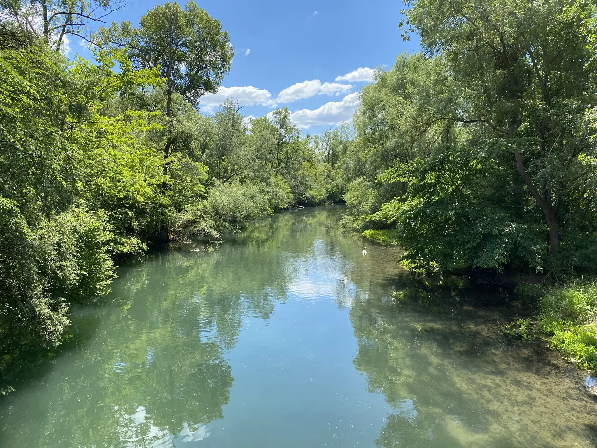
Rheinauenweg hiking path – Jungle tour for water rats
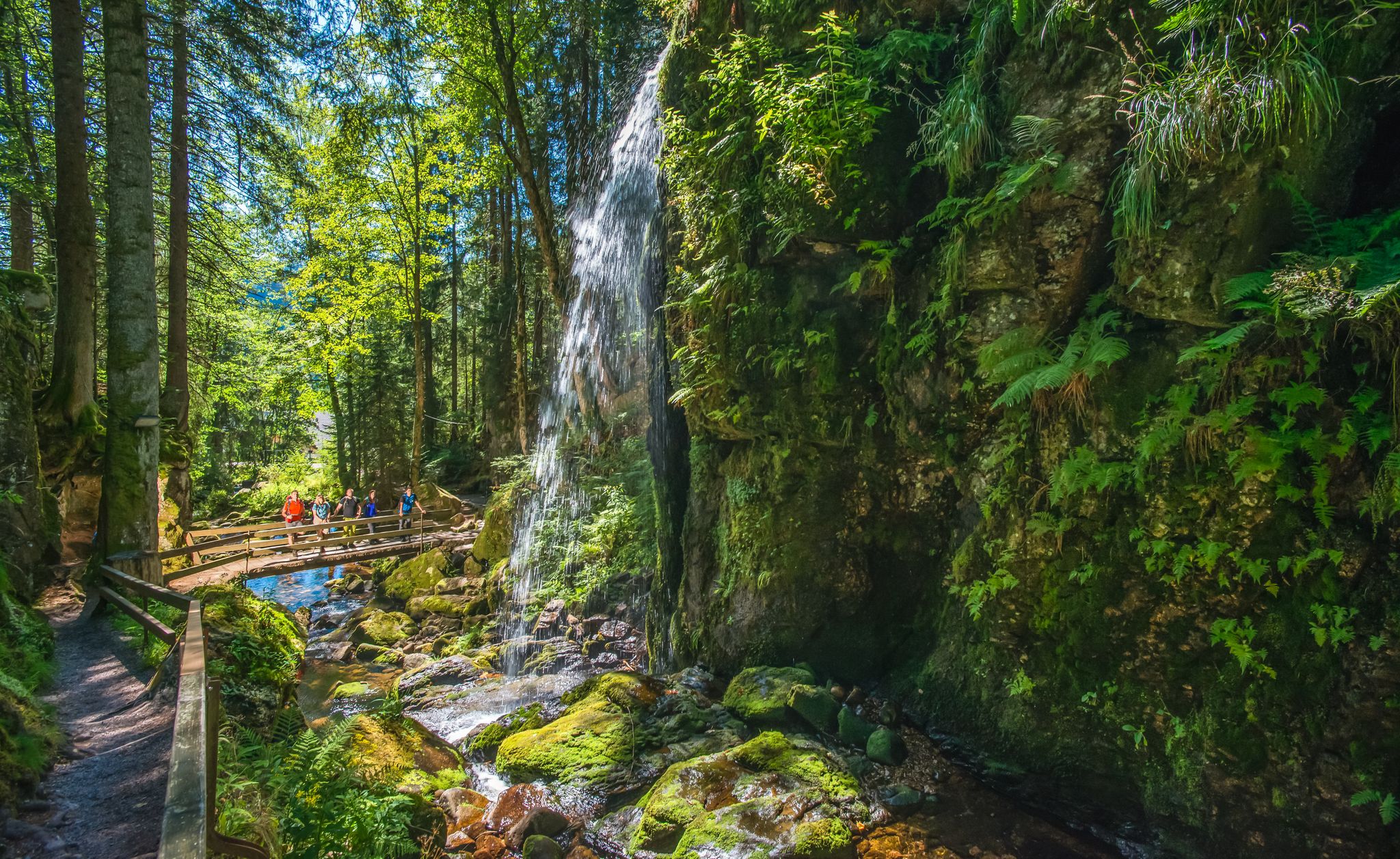
Albsteig Schwarzwald – Hike along the River Alb through the Black Forest in Germany
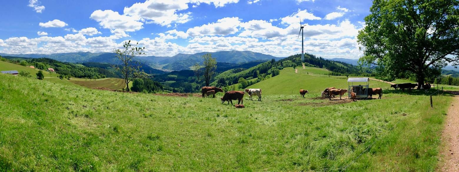
Germany's Kandelhöhenweg — More westerly than the Westweg
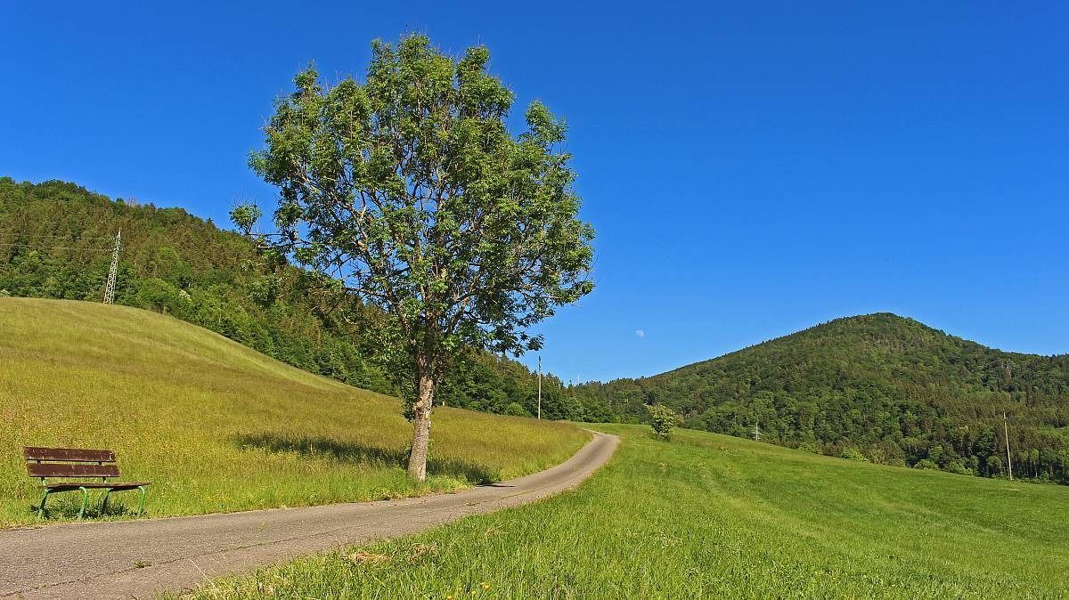
The Freiburg–Lake Constance Black Forest Trail — To the Swabian Sea
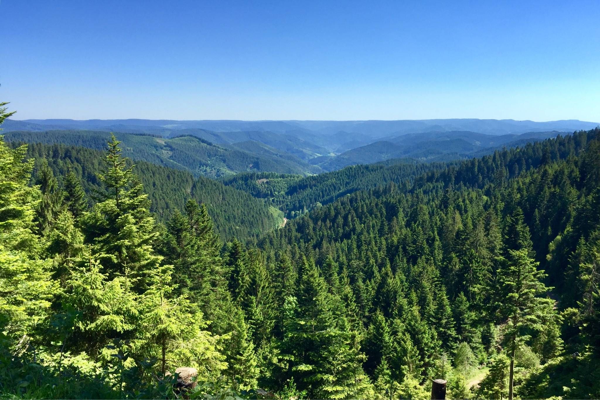
Westweg – Deep forests and bright heights through the Black Forest
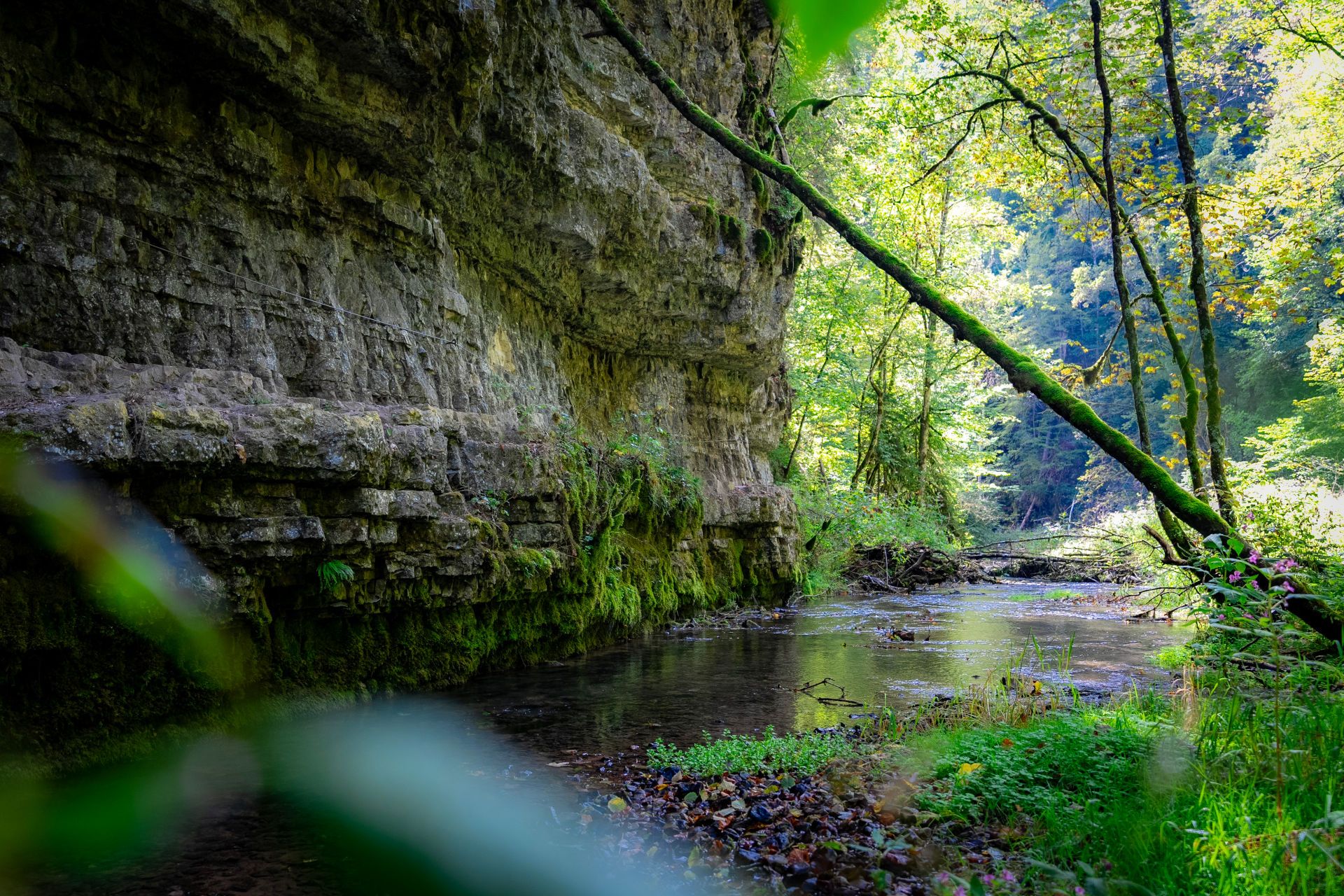
Germany’s largest canyon – hiking in the Wutach Gorge
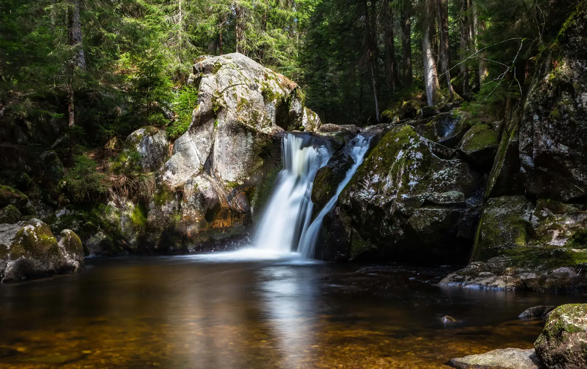
Hiking, ponds & waterfalls – superb Black Forest swimming spots
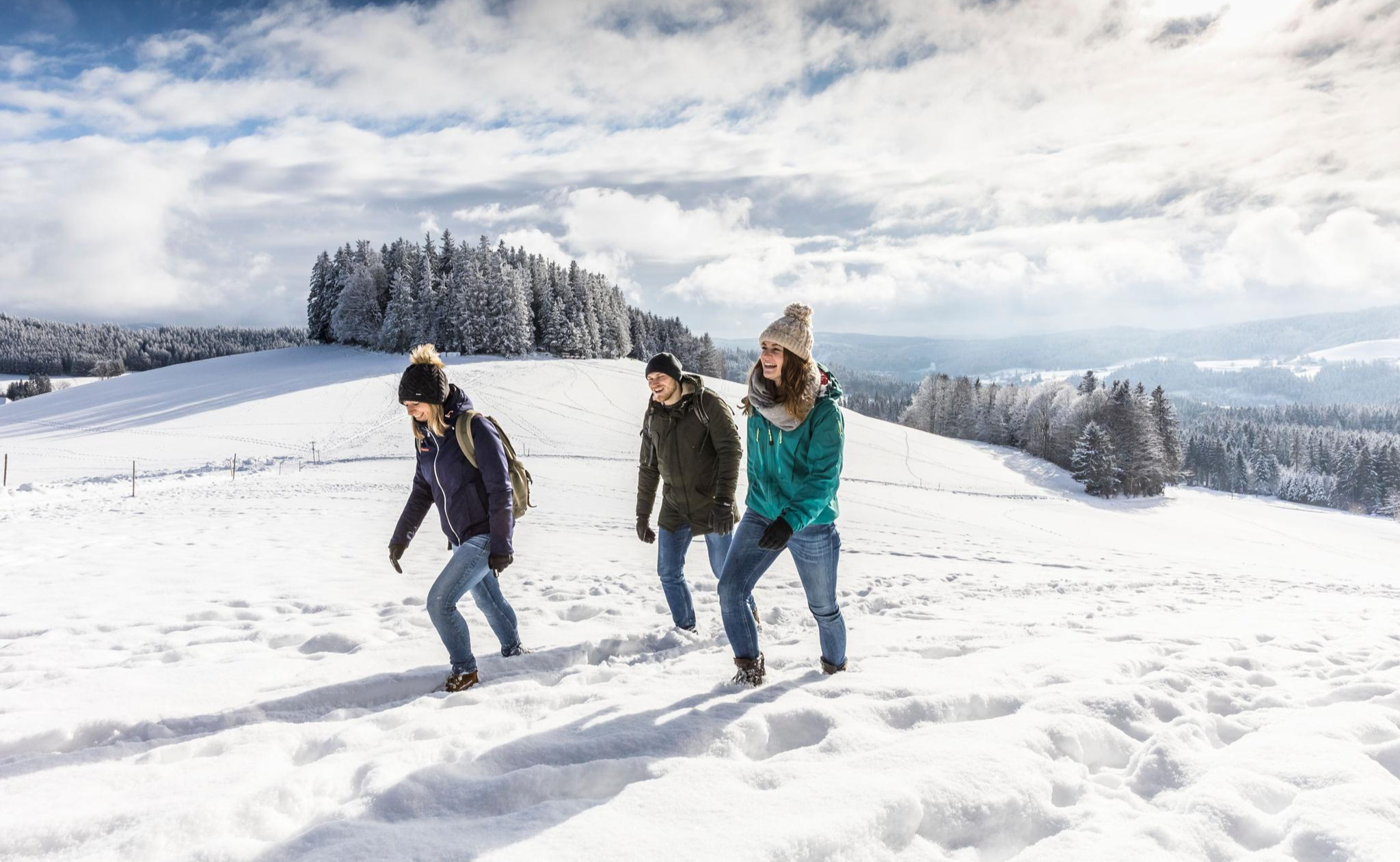
Black Forest Highlands – Winter Hiking with Snow, Silence and Vast Views
The state from above: 7 Summits of Baden-Württemberg
Other adventures in the Hochschwarzwald


Tips from the Community

Beautiful flower meadow
0
0

A must-see, and best done at sunrise 🌅. I made it 😃 I got on my bike early in the morning in the dark and got there 🥱 at the right time 👍 Simply gorgeous
1
1

A beautiful hollow path leading from the Liliental valley into the forest to the north. Numerous nesting holes can be seen in the loess walls, but I haven't encountered any bee-eaters in the forest.
2
0

A wonderful view over the vineyards on the Kaiserstuhl.
1
0

Good "Besen" restaurant. Also offers tarte flambée. Overnight accommodations in holiday apartments.
0
1
Fritz Keller's fine winery. Stunning architecture
0
0
The colorful western green lizard lives in only a few places in Germany, including the Kaiserstuhl. It is becoming increasingly common there – for two reasons: while some animals are suffering from the increasing heat, a particularly rare and colorful species thrives in the Kaiserstuhl and has rapidly multiplied there. The green lizard is a climate change winner because it is a heat-loving species. The green lizard needs places where it can bask in the sun and find food. Accordingly, it requires grassy stands with old grass, where, for example, grasshoppers can live. The green lizard also needs cover to hide from potential predators. The green lizard also uses the sun's warmth to incubate its eggs.
0
0
Suddenly, there's a rustling in the bushes, in the distance - the green lizards are relatively large, colorful, and fast. If you want to photograph these animals, you have to be quick.
0
0
Frequently Asked Questions
What makes the Hochschwarzwald a unique region for volcano hiking?
The Hochschwarzwald, particularly the Kaiserstuhl area, is renowned for its unique volcanic origins. This ancient volcanic landscape has shaped the region's distinctive hills, fertile soils, and microclimate, creating a fascinating environment for hikers to explore. You'll encounter geological features and rich biodiversity not found elsewhere in the Black Forest.
How many volcano hiking trails are available in the Hochschwarzwald?
There are over 20 dedicated volcano hiking trails in the Hochschwarzwald region. These routes range from easy strolls through vineyards to more challenging ascents, offering diverse experiences for all skill levels.
Are there any easy volcano hikes suitable for beginners or families?
Yes, there are several easy volcano hikes. For instance, the Weingut Fritz Keller – View of Oberbergen Vineyards loop from Kaiserstuhl is an easy option, covering about 4.9 km with minimal elevation gain. These trails often wind through picturesque vineyards and offer gentle gradients.
Can I find circular volcano walks in the Hochschwarzwald?
Absolutely. Many of the volcano hiking trails in the Hochschwarzwald are designed as circular routes, allowing you to start and end at the same point. An example is the Vogelsang Pass Viewpoint – Haselschacher Hill loop from Kaiserstuhl, which offers a scenic round trip.
What are some interesting geological features or landmarks to look out for on these trails?
The volcanic trails in the Hochschwarzwald are rich in geological interest. You'll encounter unique rock formations, loess walls, and the distinctive terraced vineyards that thrive on the volcanic soil. While hiking, you might also spot various castle ruins or enjoy panoramic views from volcanic peaks like the Totenkopf.
Are the volcano hiking trails in the Hochschwarzwald dog-friendly?
Most hiking trails in the Hochschwarzwald, including many of the volcano routes, are dog-friendly. However, it's always recommended to keep your dog on a leash, especially in nature reserves, near livestock, or in areas with dense wildlife. Be sure to carry water for your pet, particularly on warmer days, as some sections might be exposed.
What is the best time of year to go volcano hiking in the Hochschwarzwald?
The Hochschwarzwald offers beautiful hiking experiences year-round. Spring brings blossoming nature and vibrant vineyards, while autumn transforms the landscape with spectacular orange-red foliage. Summer is ideal for enjoying the warm weather and lush greenery, though some trails can be exposed. Winter hiking is also possible, especially on lower-altitude routes, but always check trail conditions.
Are there public transport options to reach the volcano trailheads?
Yes, the Hochschwarzwald region is well-equipped with public transport connections. Many trailheads for volcano hikes, particularly in the Kaiserstuhl area, are accessible by bus or train. This allows for convenient travel to and from your chosen starting points, reducing the need for private vehicles.
What do other hikers enjoy most about the volcano trails in the Hochschwarzwald?
The komoot community highly rates the volcano trails in the Hochschwarzwald, with an average score of 4.6 stars from over 100,000 ratings. Hikers frequently praise the unique volcanic landscapes, the stunning panoramic views over the Rhine Valley and vineyards, and the well-maintained paths that offer a blend of natural beauty and cultural insights.
Are there any moderate volcano hikes for those looking for a bit more challenge?
Yes, there are several moderate volcano hikes that offer a good challenge without being overly strenuous. The Haselschacher Hill – View of Totenkopf loop from Ohrberg is a great example, covering about 12.5 km with moderate elevation changes, providing rewarding views and varied terrain.
Most popular routes in the Hochschwarzwald
Most popular attractions in the Hochschwarzwald

Get inspired with the komoot mobile app


Didn’t find what you were looking for?
Check out more Hikes throughout Hochschwarzwald below and find the perfect route in your destination.
Explore more
Browse the best Hikes in other regions.
