The best hikes from bus stations around Tuttlingen
4.6
(12605)
49,081
hikers
687
hikes
Bus station hiking trails around Tuttlingen traverse a diverse landscape at the confluence of the Danube, near the Black Forest and Lake Constance. The region features the dramatic limestone formations and river views of the Danube Valley, the volcanic mountains of the Hegau, and the juniper heath landscapes of the Swabian Alb. This varied terrain offers routes ranging from riverine paths to elevated plateaus and cliff-top trails.
Best bus station hiking trails around Tuttlingen
- The most popular bus station hiking…
Last updated: July 10, 2026
4.8
(579)
1,882
hikers
15.8km
04:47
510m
510m
Moderate hike. Good fitness required. Easily-accessible paths. Suitable for all skill levels.
4.9
(196)
642
hikers
Moderate hike. Good fitness required. Easily-accessible paths. Suitable for all skill levels.

Sign up for free
4.8
(102)
403
hikers
Moderate hike. Good fitness required. Easily-accessible paths. Suitable for all skill levels.
4.6
(89)
307
hikers
7.64km
02:12
200m
200m
Moderate hike. Good fitness required. Easily-accessible paths. Suitable for all skill levels.
4.8
(108)
372
hikers
Moderate hike. Good fitness required. Easily-accessible paths. Suitable for all skill levels.
Get access to more routes and recommendations from other explorers.
Sign up for free
Already have an account?
Our route recommendations are based on thousands of hikes, rides, and runs completed by other people on komoot.
Start today with a free account
Your next adventure awaits.
Login or Signup
Popular around Tuttlingen
Hikes from bus stations in Haldenwald
Hikes from bus stations around Trossingen
Hikes from bus stations around Deilingen
Heuberg-Allgäu Trail – From the Swabian Alb to Alpine foothills
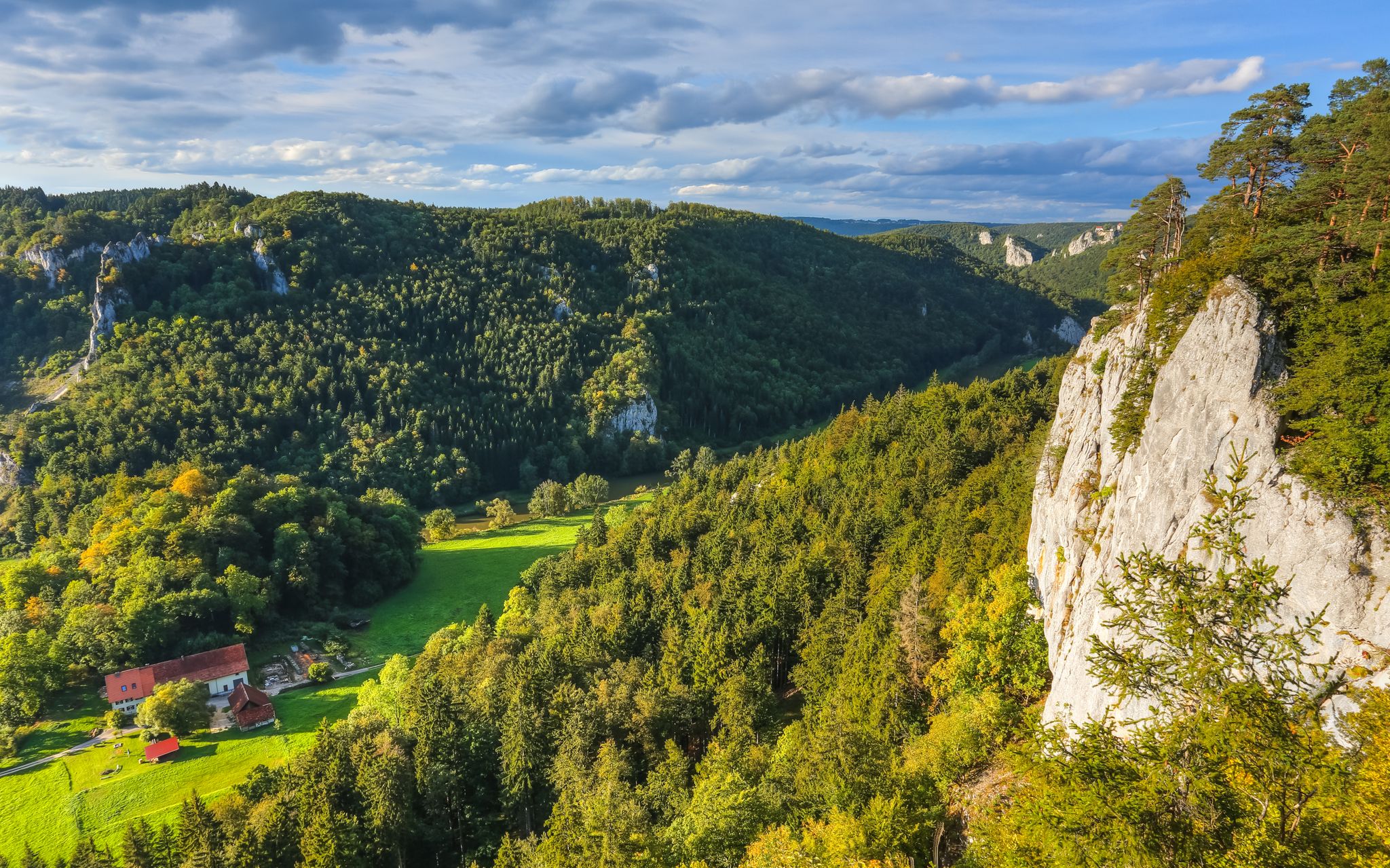
Hike the Danube Upland Trail – Exploring the Swabian Grand Canyon
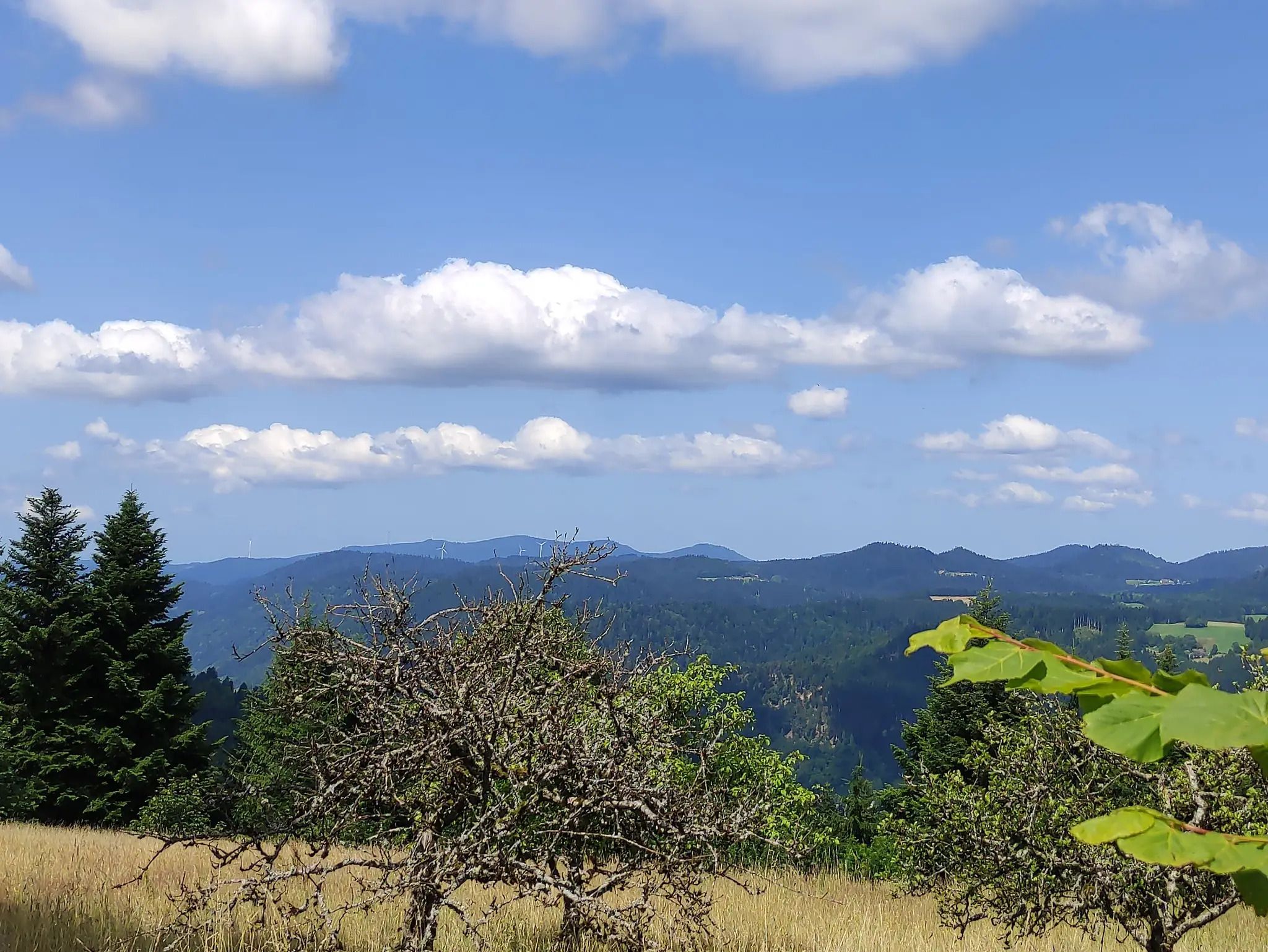
The Eastern Path of the Black Forest Association
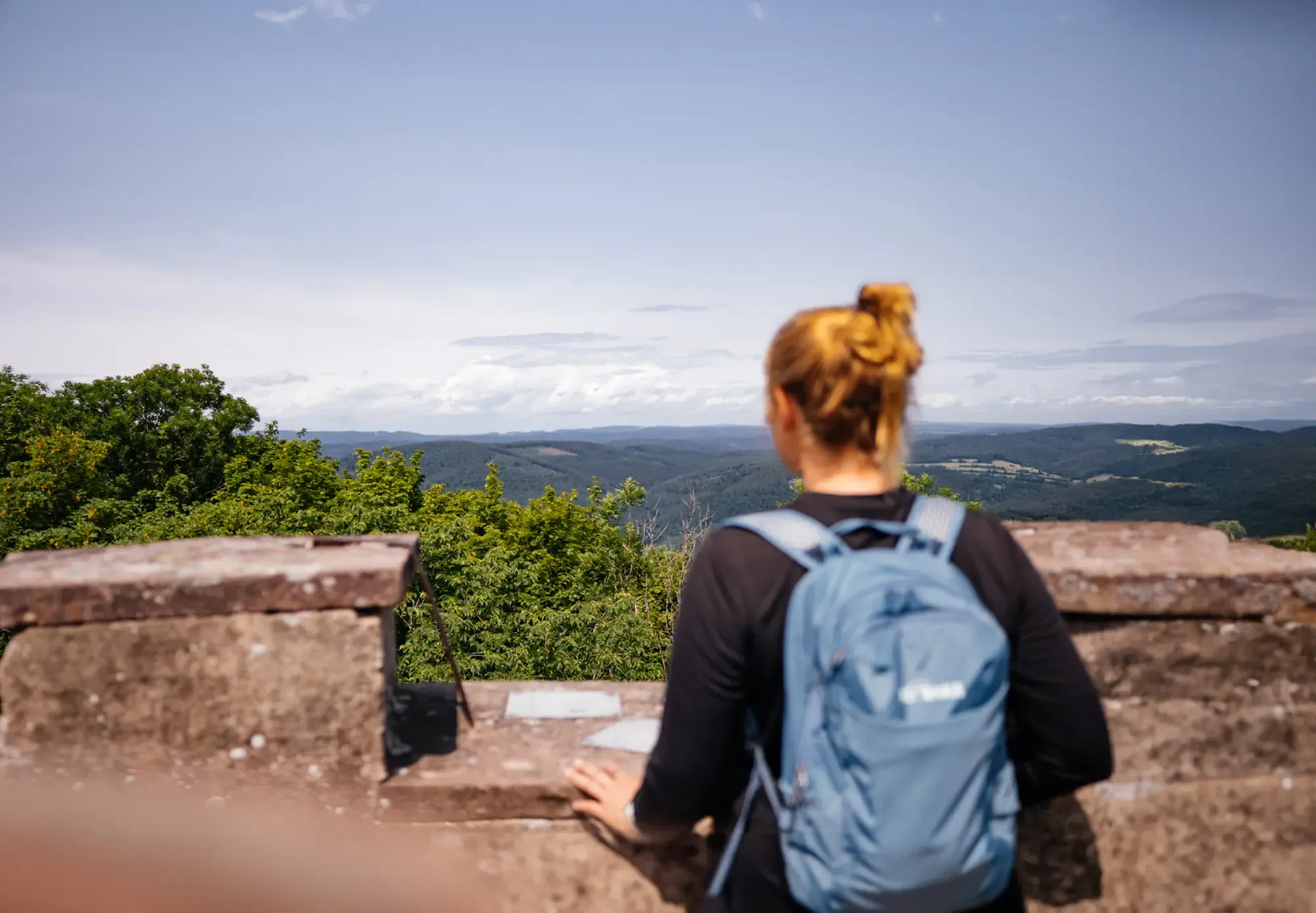
The state from above: 7 Summits of Baden-Württemberg
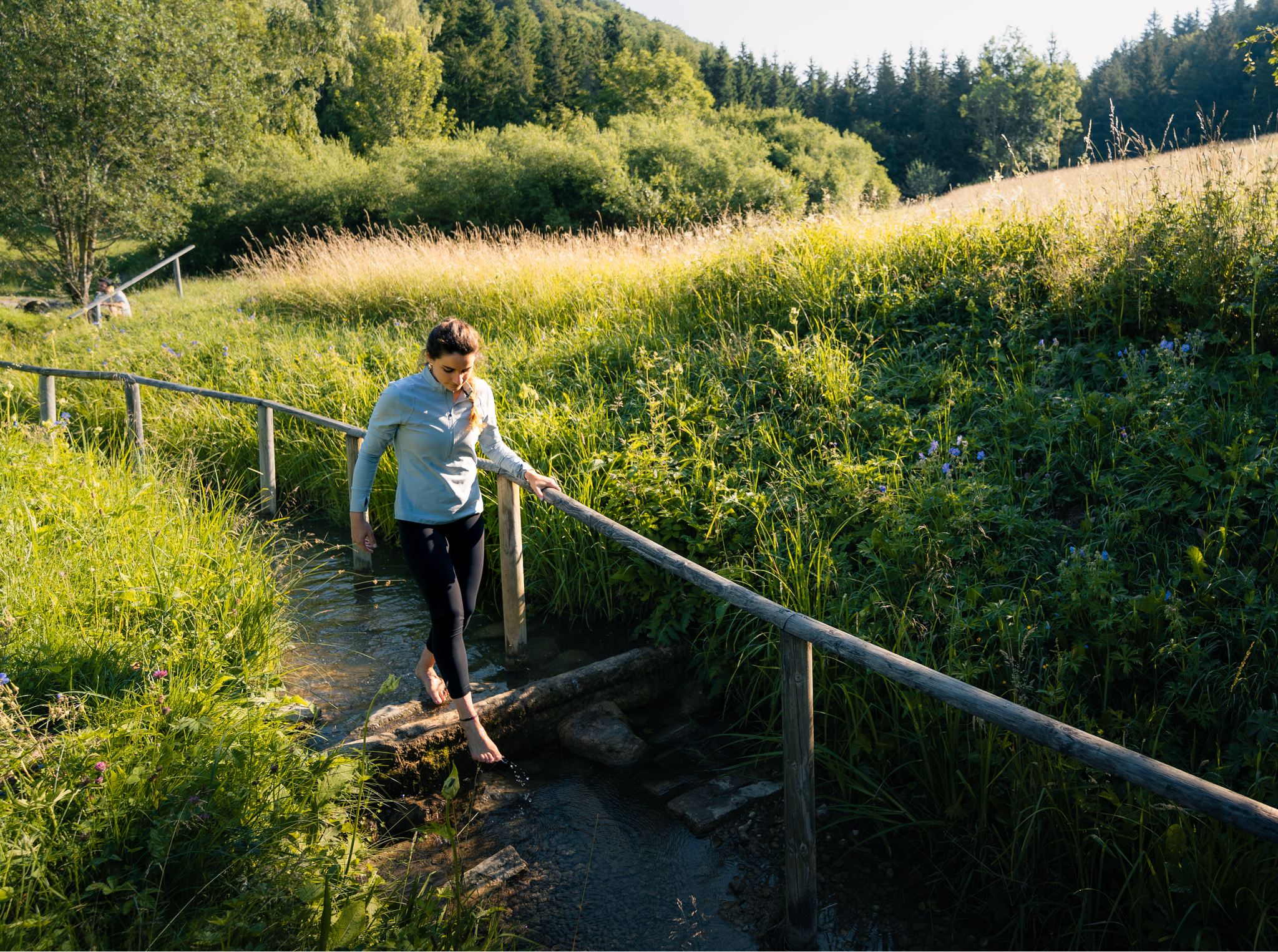
Hiking on the Swabian Alb with all your senses
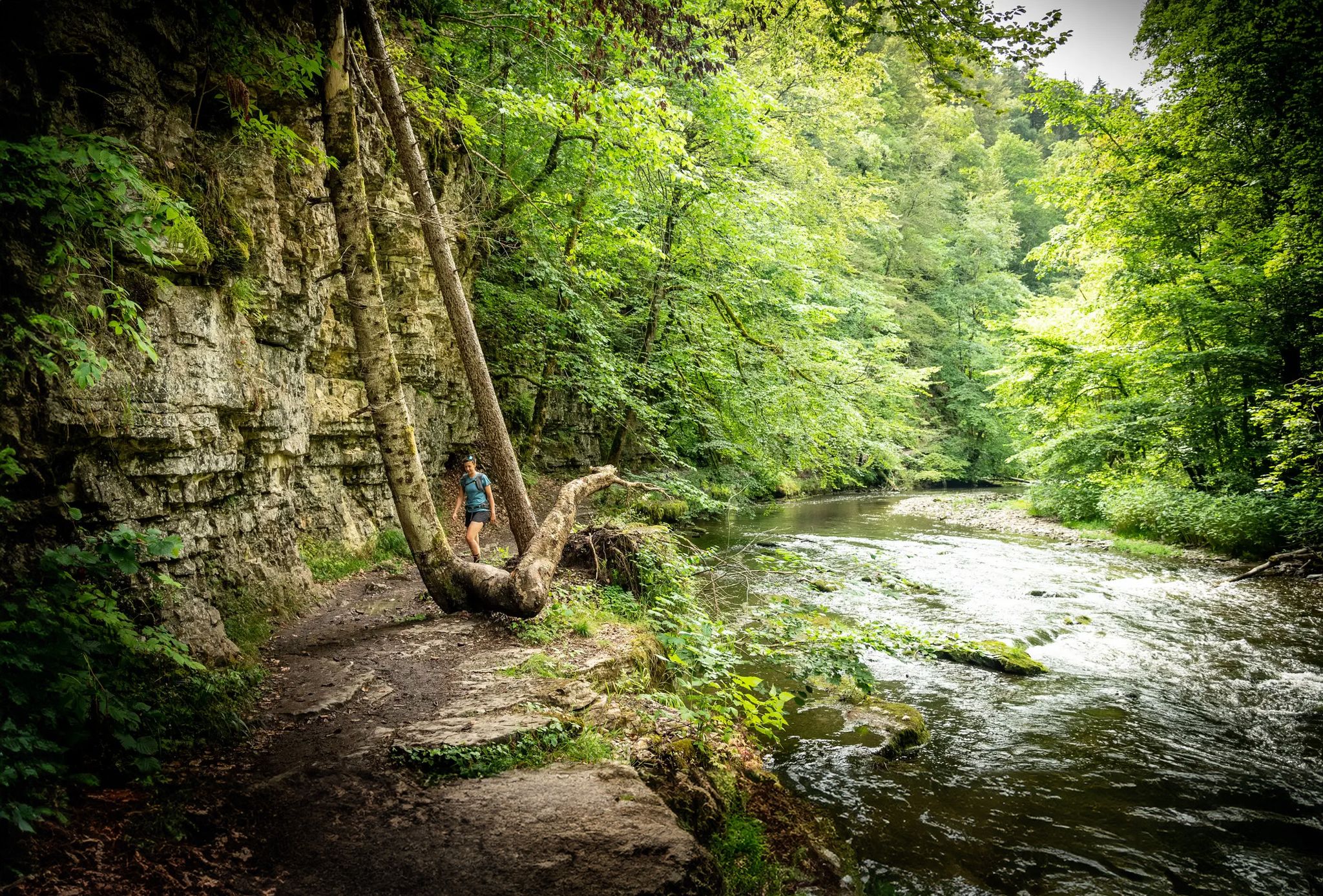
Wide views and wild valleys – the Black Forest and the Swabian Alb
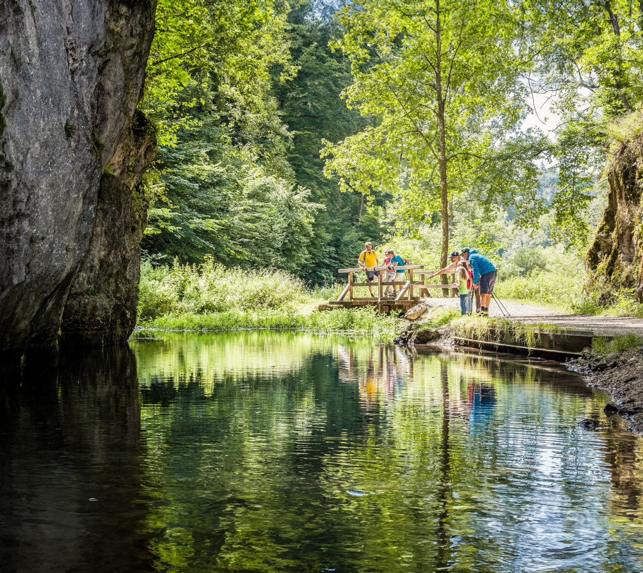
Waterside trails – refreshing hikes on the Swabian Alb
Other adventures around Tuttlingen


Tips from the Community

I rode the Hagenbach round today and it was very poorly described and some signs were completely missing
0
0

The Knopfmacherfelsen (often also called "Knopfmacherfels") is a well-known viewpoint in the Upper Danube Valley between Beuron and Fridingen. It lies within the Upper Danube Nature Park and is one of the most spectacular rocky viewpoints in the Swabian Alb. What makes the Knopfmacherfelsen special: A Jurassic limestone outcrop high above the Danube Valley Panoramic views of the Danube, the railway line, and the monastery area. From the top, there is a wide panoramic view over the Danube Gorge and towards Beuron. The landscape is characterized by steep limestone cliffs, forests, and the winding Danube.
4
0

The Höwenegg crater is not one of the dolines typical of the Swabian Alb, but a real volcanic crater. Geologically, it belongs to the Hegau volcanic region. Basalt mining has also shaped the crater's current appearance. You have a wonderful overview from this point.
0
0

Beautiful, natural forest path in the Höwenegg nature reserve.
8
0
Small forest nature trail from ForstBW with information boards about the trees seen here.
7
0
Unfortunately, there is no view from the marked spot in summer, as everything is overgrown at this time of year.
6
0
A very good viewpoint overlooking the crater lake, with a small rest area and information panel. Even though there is a large fence around the crater rim for safety reasons, a good view is still possible.
8
0
Beautiful viewpoint from the hiking trail around the crater lake of the deep blue lake and the volcanic caldera.
8
0
Frequently Asked Questions
How many hiking trails are accessible by bus around Tuttlingen?
Tuttlingen offers a wide range of hiking opportunities accessible by public transport. There are over 680 hiking routes in the region, many of which can be reached conveniently by bus, especially those within the Donaubergland area.
What are the typical difficulty levels for bus-accessible hikes in Tuttlingen?
The trails accessible by bus around Tuttlingen cater to all skill levels. You'll find a good mix, with over 330 easy routes, more than 320 moderate options, and about 15 challenging trails for experienced hikers. This ensures there's something for everyone, from leisurely strolls to more demanding excursions.
Are there specific bus services for hikers in the Tuttlingen region?
Yes, the Donaubergland-Wanderbus system is designed to connect hikers to popular trailheads. Additionally, the 'Hey! Move' bus system provides extensive coverage, making many starting points easily reachable. It's always a good idea to check the current timetables for specific routes and stops.
What are some easy, family-friendly hikes accessible by bus in Tuttlingen?
For families looking for easier options, many trails in the Donaubergland and around the city of Tuttlingen itself are suitable. While specific 'children's adventure trails' exist, routes with less elevation gain and shorter distances are plentiful. Consider exploring areas with gentle paths along the Danube or in the juniper heaths of the Swabian Alb for a pleasant family outing.
Can I bring my dog on bus-accessible hiking trails in Tuttlingen?
Generally, dogs are welcome on hiking trails in the Tuttlingen region. However, it's crucial to keep them on a leash, especially in nature reserves, near livestock, or in areas with wildlife. When using public transport, check the specific bus company's rules regarding pets, as some may require muzzles or charge a small fee.
What kind of natural landscapes can I expect to see on bus-accessible hikes?
The Tuttlingen region boasts incredibly diverse landscapes. You can explore the dramatic river views and limestone formations of the Danube Valley, the distinctive volcanic mountains of the Hegau, and the unique juniper heath landscapes of the Swabian Alb. Many bus routes will take you to trailheads within these varied natural settings.
Are there any circular routes accessible by bus?
Yes, many of the hiking trails around Tuttlingen are designed as circular routes, making them ideal for bus access as you can start and end at the same point. For example, the Höwenegg Crater Lake loop from Schopfeln-Rehletal offers a moderate circular experience through a unique volcanic landscape.
What are some notable attractions or points of interest along bus-accessible trails?
Many trails offer historical and natural highlights. You might encounter impressive castle ruins like Honberg Castle Ruins above Tuttlingen, or the majestic Bronnen Castle. The region is also home to unique natural phenomena like the Danube Sinkhole. For panoramic views, consider trails leading to summits like Hohenkarpfen Summit.
What is the best time of year to go hiking from bus stations in Tuttlingen?
Spring and autumn are generally considered the best seasons for hiking in Tuttlingen. During these times, temperatures are mild, and the landscapes are particularly beautiful, either in full bloom or displaying vibrant fall foliage. While summer offers longer daylight hours, it can be warmer, and winter hiking is possible but requires appropriate gear and checking trail conditions.
What do other hikers enjoy most about the trails in Tuttlingen?
The hiking trails in Tuttlingen are highly rated by the komoot community, with an average score of 4.6 stars. Reviewers often praise the diverse and scenic landscapes, the well-maintained paths, and the unique natural features like the Danube Sinkhole and the volcanic cones of the Hegau. The accessibility by public transport is also frequently highlighted as a major convenience.
Are there any longer or more challenging routes accessible by bus?
Yes, for those seeking a more challenging experience, routes like the Danube Wave – Danube Rocks Tour offer significant distances and elevation changes. This moderate trail provides breathtaking vistas of the Danube Valley and its dramatic rock formations, and its starting point is often reachable via regional bus services.
Can I find trails with scenic viewpoints accessible by bus?
Absolutely. The region is known for its stunning vistas. Many bus-accessible trails lead to prominent viewpoints, such as the Knopfmacherfelsen Viewpoint, which offers spectacular views of Schloss Bronnen and the Danube. The volcanic peaks in the Hegau also provide panoramic outlooks, often extending to Lake Constance and the Alps on clear days.
Most popular routes around Tuttlingen
Most popular attractions around Tuttlingen

Get inspired with the komoot mobile app


Didn’t find what you were looking for?
Check out more Hikes throughout Tuttlingen below and find the perfect route in your destination.
Explore more
Browse the best Hikes in other regions.
