The best hikes from bus stations around Sömmerda
4.5
(1379)
5,961
hikers
470
hikes
Bus station hiking trails around Sömmerda traverse a diverse landscape within the Thuringian Basin, characterized by gentle hills, forests, and the Unstrut River. The region offers varied terrain, from the fertile lowlands to the surrounding Hainleite mountain range. Hikers can explore areas featuring natural woodlands, open fields, and river floodplains. The highest point in the Sömmerda district is Lauberkopf at 404 meters.
Best bus station hiking trails around Sömmerda
- The most popular bus station hiking route is Lake Alperstedt – Alperstedter See loop from Alperstedt, a 5.1 miles (8.2 km) trail that takes 2 hours 4 minutes to complete. This moderate route offers views of Lake Alperstedt.
- Another top favourite among local hikers is View of the Kohnstein – Bonnrode Monastery Estate loop from Frömmstedt, a difficult 15.1 miles (24.3 km) path. This trail provides expansive views of the Kohnstein and passes by the historic Bonnrode Monastery Estate.
- Local hikers also love the Beichlingen Castle – Beichlingen Hiking Car Park loop from Beichlingen, a 7.1 miles (11.4 km) trail leading through the area surrounding Beichlingen Castle, often completed in about 3 hours 11 minutes.
- Hiking around Sömmerda is defined by gentle hills, dense forests, and river valleys, offering a range of options for different ability levels.
- The routes in Sömmerda are highly rated by the komoot community with an average score of 4.5 stars from more than 1,300 reviews. More than 5,900 hikers have used komoot to explore Sömmerda's varied terrain.
Last updated: May 14, 2026
3.7
(36)
125
hikers
8.16km
02:04
20m
20m
Moderate hike. Good fitness required. Easily-accessible paths. Suitable for all skill levels.
4.9
(103)
238
hikers
24.2km
06:40
400m
400m
Hard hike. Very good fitness required. Easily-accessible paths. Suitable for all skill levels.

Sign up for free
4.9
(12)
47
hikers
11.6km
03:14
210m
210m
Moderate hike. Good fitness required. Easily-accessible paths. Suitable for all skill levels.
4.7
(18)
46
hikers
10.3km
02:48
150m
150m
Moderate hike. Good fitness required. Easily-accessible paths. Suitable for all skill levels.
5.0
(5)
36
hikers
13.4km
03:49
300m
300m
Moderate hike. Good fitness required. Easily-accessible paths. Suitable for all skill levels.
Get access to more routes and recommendations from other explorers.
Sign up for free
Already have an account?
Our route recommendations are based on thousands of hikes, rides, and runs completed by other people on komoot.
Start today with a free account
Your next adventure awaits.
Login or Signup
Popular around Sömmerda
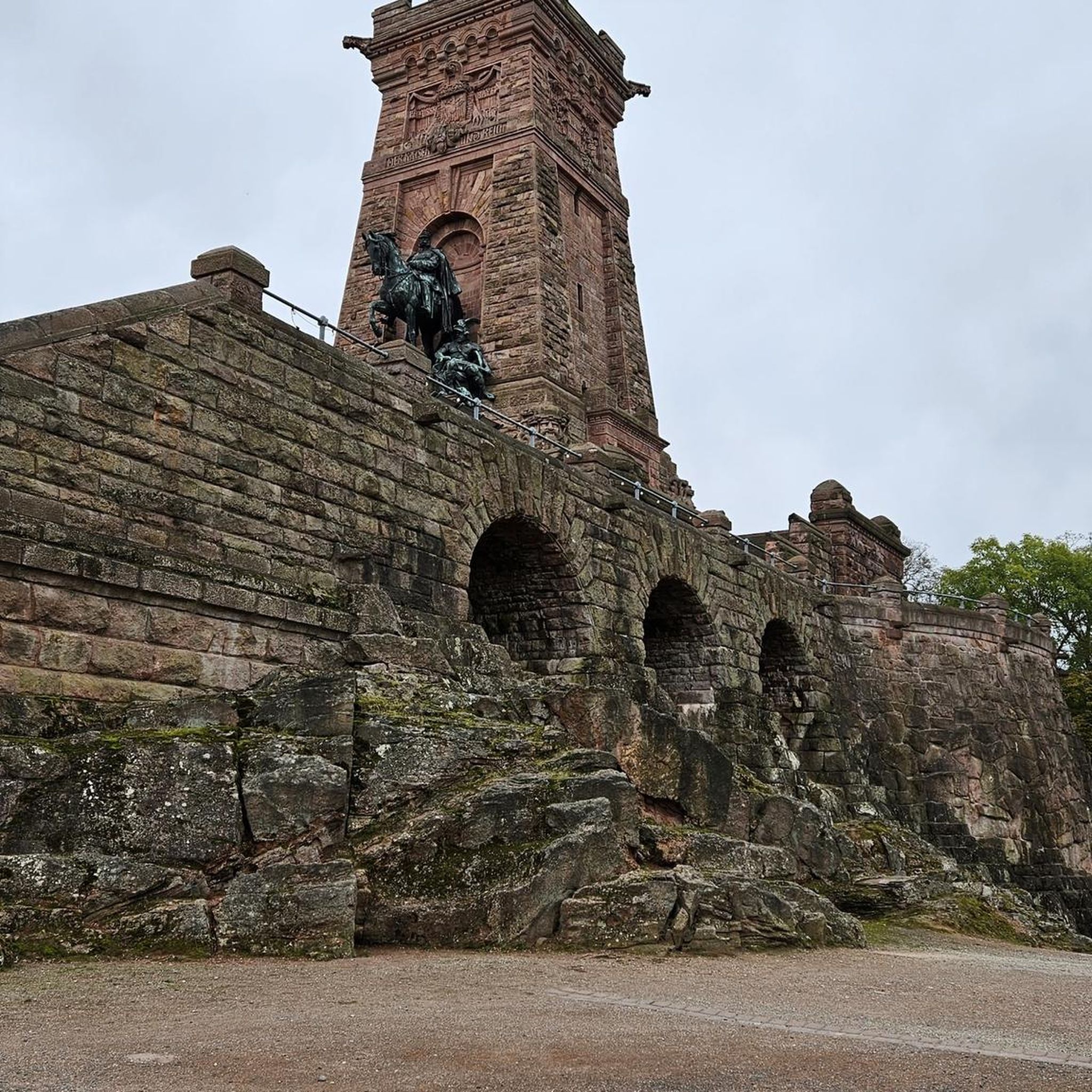
Hikes from bus stations around Hohe Schrecke

Hikes from bus stations around Rastenberg
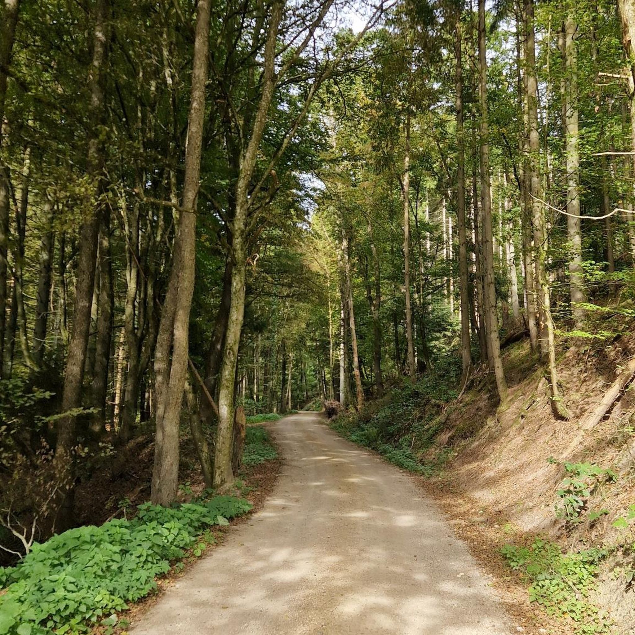
Hikes from bus stations around Witterda
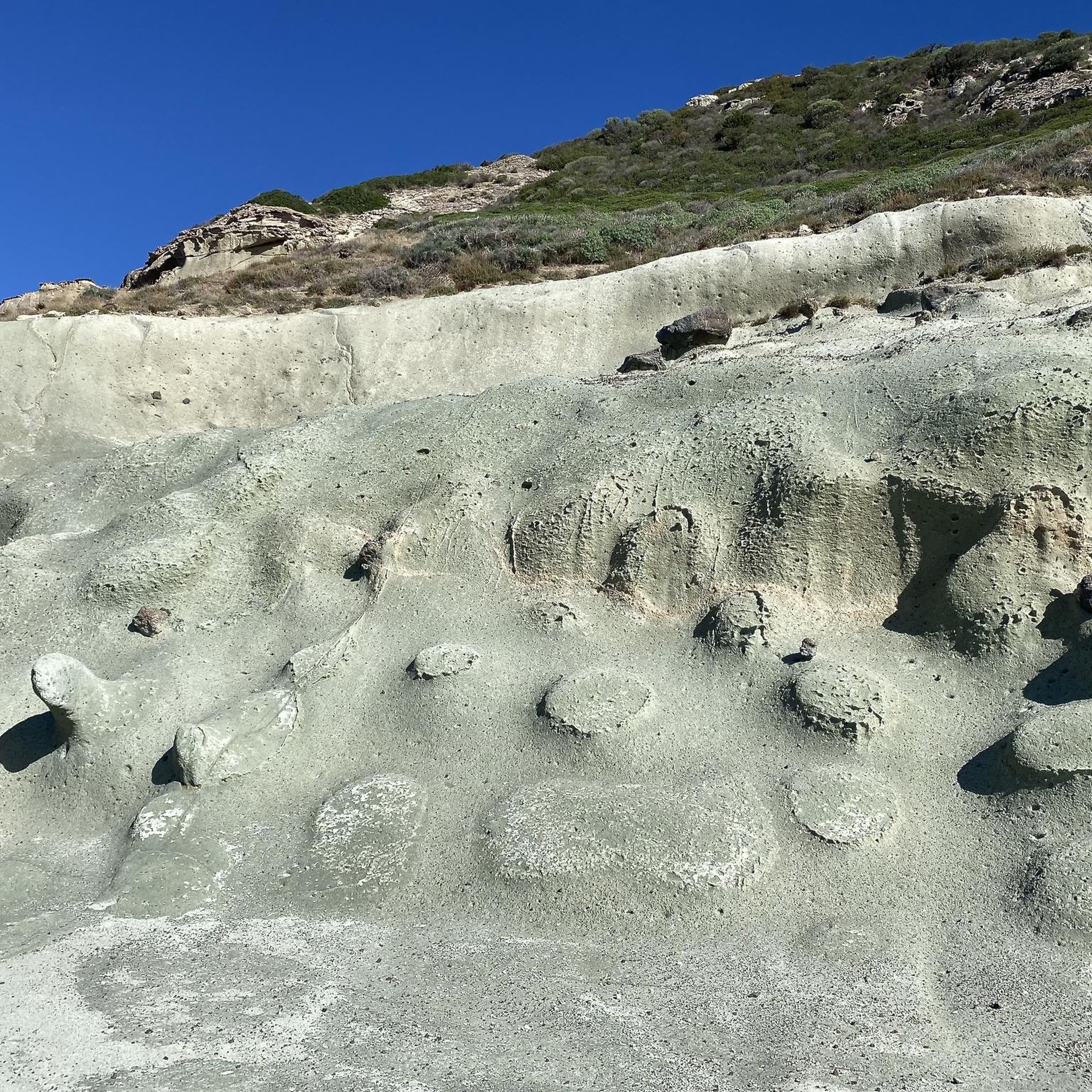
Hikes from bus stations in Ffh Gebiet - Schwansee
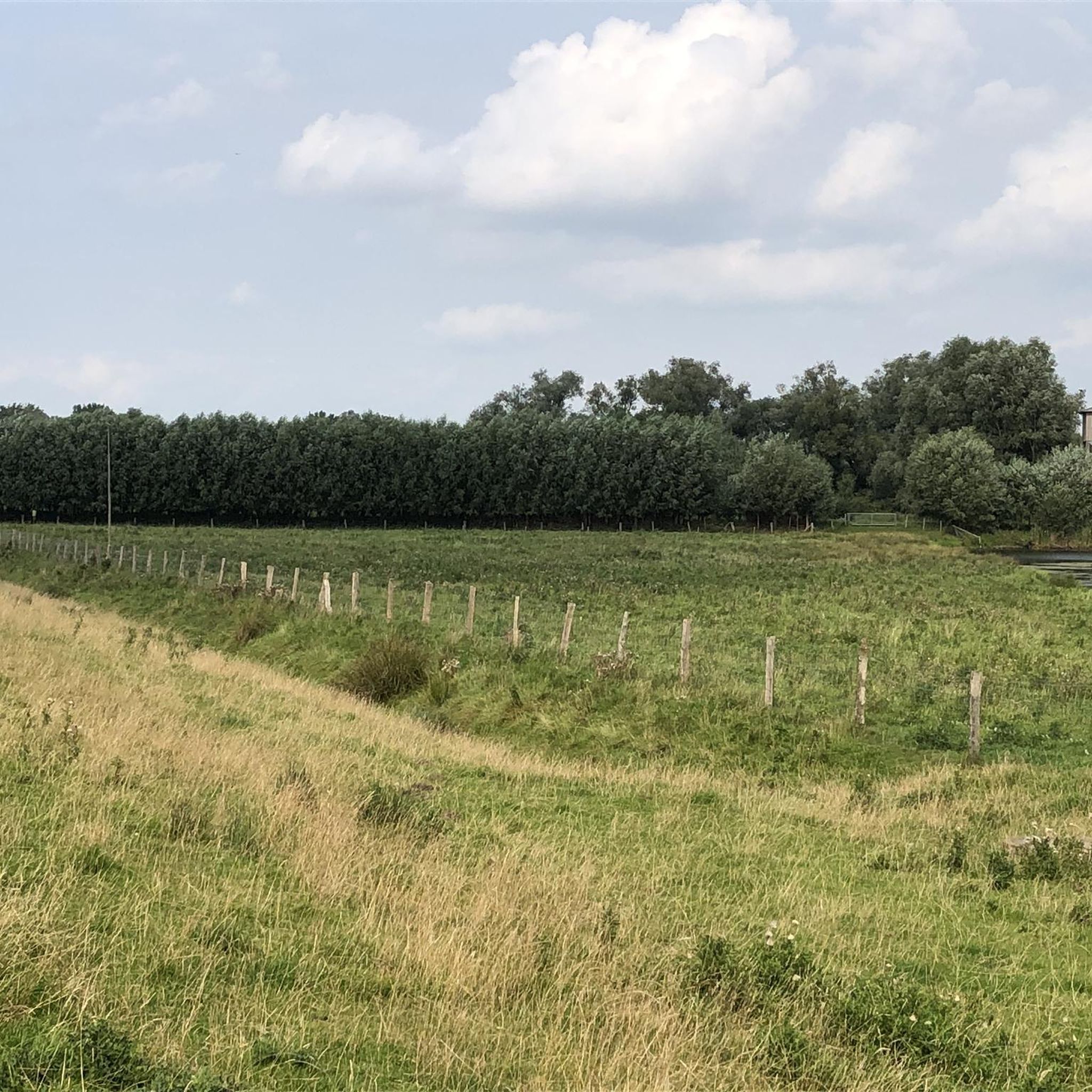
Hikes from bus stations around Kölleda
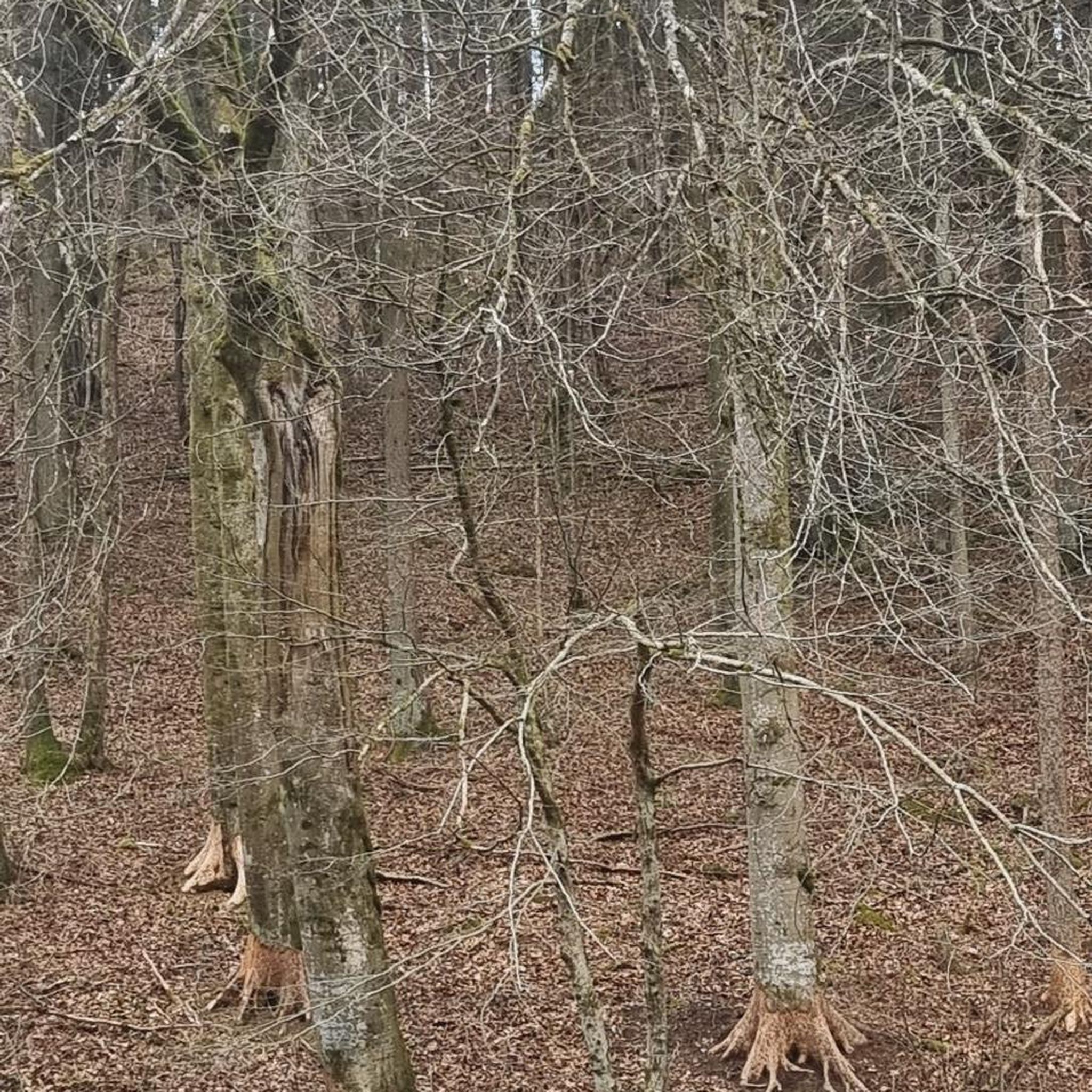
Hikes from bus stations in Finne
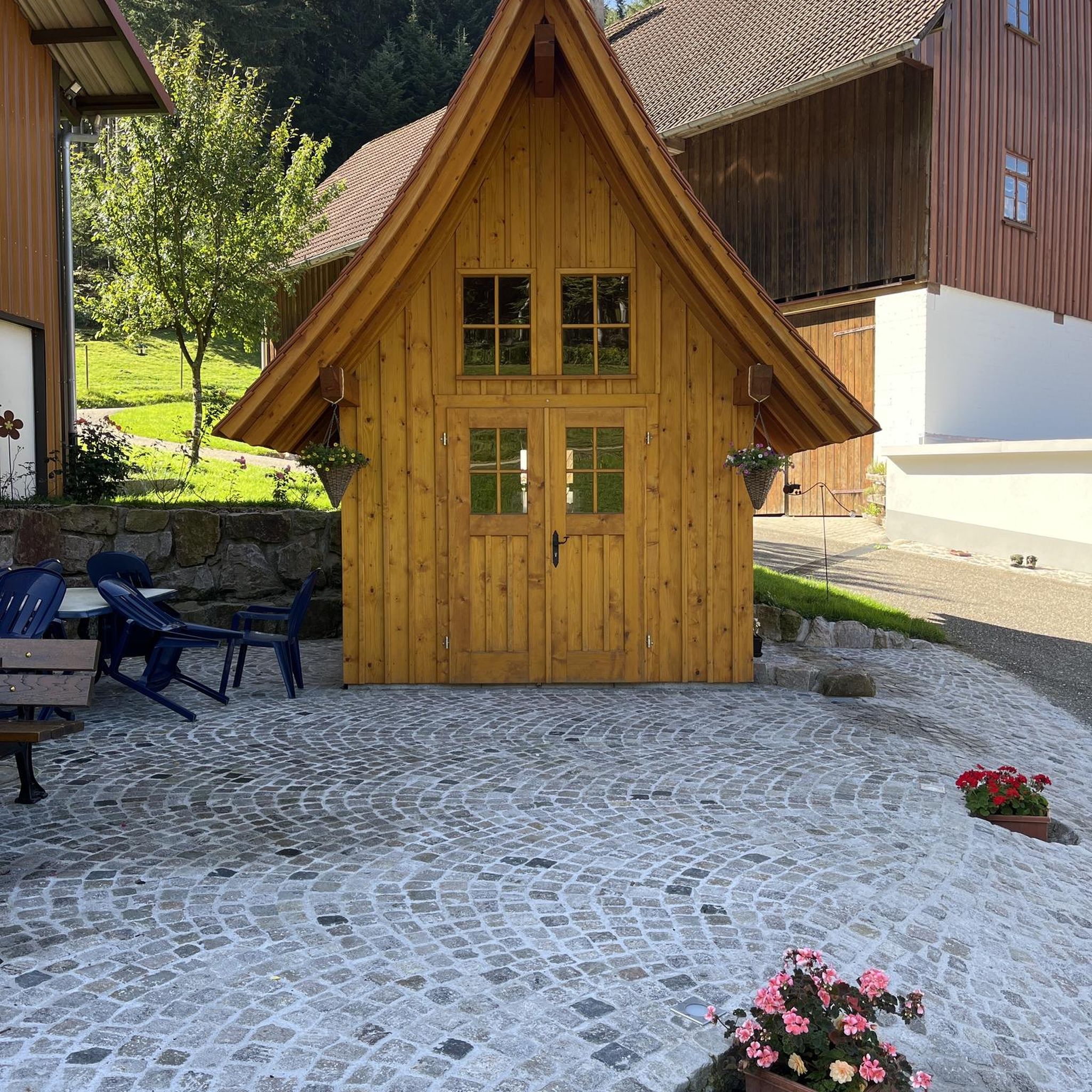
Hikes from bus stations around Walschleben
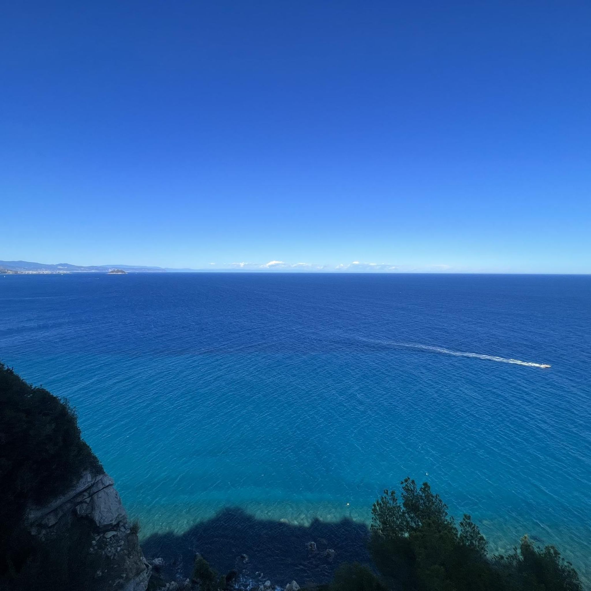
Hikes from bus stations around Stausee Großbrembach
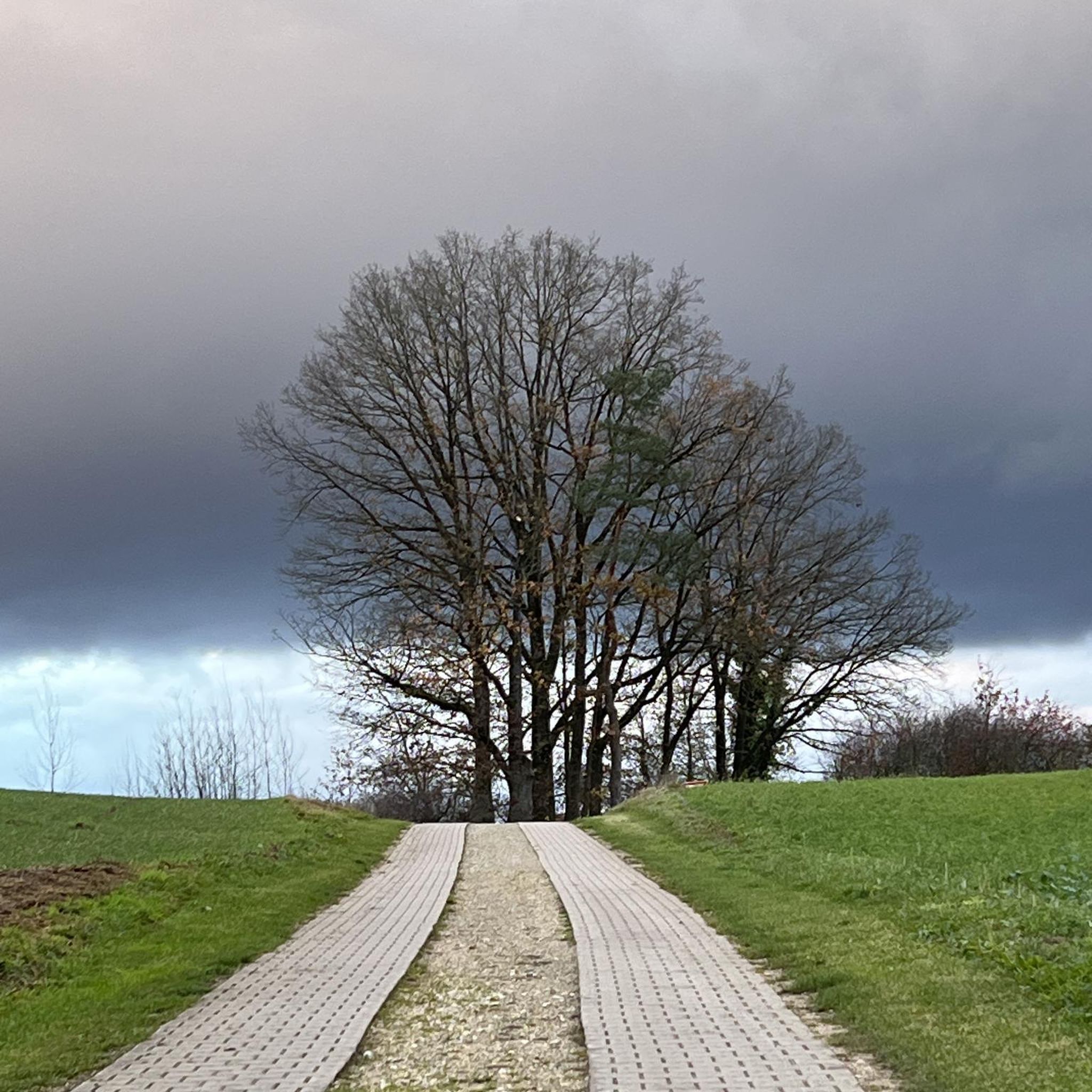
Hikes from bus stations around Hochwasserrückhaltebecken Straußfurt
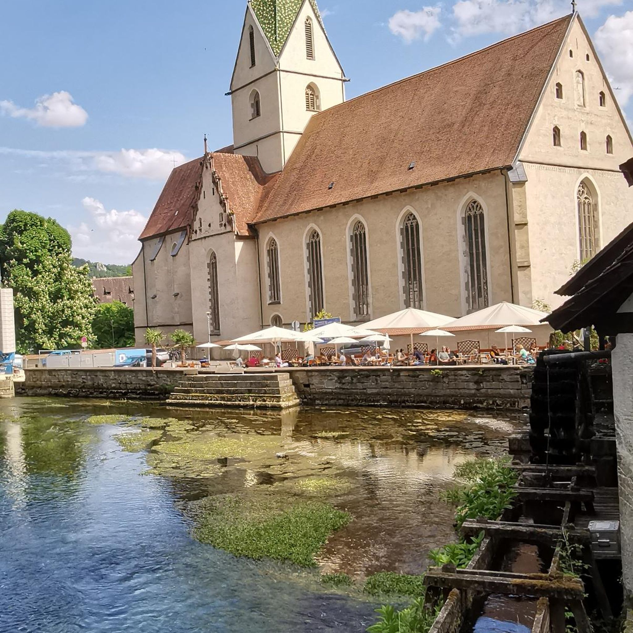
Hikes from bus stations around Beichlingen
Other adventures around Sömmerda


Tips from the Community

A really beautiful landscape and hiking area, I just miss the touring signposts here. and far too few places to sit 😏
9
0

Very nice resting place under a mighty tree.
4
0

Cool houses floating on the water and not far from the bike path.
0
0
A very beautiful and mostly relaxed lake, but also quite windy (good for windsurfers) and in some places very busy.
0
0
The area around Rastenberg is great for hiking; there's a rest area by the fish pond.
6
0
Beautiful stamping station with a rest area under a large oak tree.
8
0
The castle hill divides the town; unfortunately, almost nothing remains of the castle itself. Only the keep can still be discerned.
3
0

You simply have to be here ;-)
0
0
Frequently Asked Questions
How many bus station hiking trails are available around Sömmerda?
There are nearly 500 hiking trails accessible from bus stations around Sömmerda. This includes a wide range of options, from easy strolls to more challenging day hikes, ensuring there's something for every fitness level.
Are there easy hiking trails accessible by bus for beginners or families?
Yes, Sömmerda offers many easy routes perfect for beginners or families. Over 240 of the bus-accessible trails are rated as easy. For a pleasant, relatively flat walk, consider the Lake Alperstedt – Alperstedter See loop from Alperstedt, which is just over 8 km and offers scenic views of the lake.
What kind of terrain can I expect on bus-accessible hikes in Sömmerda?
The Sömmerda region, situated in the Thuringian Basin, features diverse terrain. You can expect gentle hills, idyllic forests, and paths along babbling brooks. Areas like the Hainleite mountain range offer more varied elevations, while routes closer to the Unstrut River tend to be flatter. Some trails, particularly in the Hohe Schrecke, can lead through more pristine forest areas.
Are there any circular routes starting from bus stations?
Yes, many of the bus-accessible trails are circular, allowing you to return to your starting point without needing additional transport. An example is the Rastenberg Town Hall loop from Rastenberg, a moderate 9 km route that brings you back to the town center.
What natural features or landmarks can I see along these trails?
The bus-accessible trails in Sömmerda lead to various natural and historical highlights. You might encounter impressive natural monuments like the Gründelsloch Karst Spring near Kindelbrück, or historical sites such as the Leubingen Burial Mound. The region also features the scenic Unstrut River floodplains and areas known for unique flora, like the Beichlinger Schmücke with its orchids.
Can I find longer, more challenging hikes from bus stops?
For experienced hikers seeking a challenge, there are difficult bus-accessible routes available. The View of the Kohnstein – Bonnrode Monastery Estate loop from Frömmstedt is a demanding 24 km trail with significant elevation changes, offering expansive views and a rewarding experience.
What is the best time of year to hike in Sömmerda?
The best seasons for hiking in Sömmerda are spring and autumn. During these times, the weather is typically mild, and the natural scenery is particularly vibrant, whether it's the fresh greenery of spring or the rich colors of autumn foliage. Summer can also be pleasant, especially in forested areas, while winter offers opportunities for quiet, snowy walks.
Are there any historical sites or castles accessible via bus-friendly hikes?
Yes, you can combine your hike with visits to historical sites. For instance, the Beichlingen Castle loop from Beichlingen is a moderate 11 km route that takes you past the historic Beichlingen Castle, allowing you to explore both nature and local heritage.
What do other hikers say about the trails around Sömmerda?
The hiking trails around Sömmerda are highly regarded by the komoot community, with an average rating of 4.5 out of 5 stars from over 1,350 reviews. Hikers often praise the region's quiet woodlands, well-maintained paths, and the diverse landscapes that offer both relaxing strolls and more challenging ascents.
Are there any places to stop for a break or refreshment along the bus-accessible routes?
While specific refreshment stops vary by route, the region does have options. Some trails might pass by villages with local eateries, or you might find designated rest areas. For example, the area around Alperstedter See features floating cabins that offer a unique stopping point, and you might encounter huts like Holzmichel's Grill Hut on certain routes.
Are there any routes that offer panoramic views?
Yes, several trails in the Sömmerda region provide excellent viewpoints. The View of Burgberg – Rastenberg Forest Pool loop from Rastenberg is a moderate 10 km hike that includes scenic vistas. Additionally, areas like Schwellenburg, a dry grassland nature reserve north of Erfurt, offer panoramic views of the surrounding landscape, including the distant Kyffhäuser mountains.
Most popular routes around Sömmerda
Most popular attractions around Sömmerda

Get inspired with the komoot mobile app


Didn’t find what you were looking for?
Check out more Hikes throughout Sömmerda below and find the perfect route in your destination.
Explore more
Browse the best Hikes in other regions.
