The best city hikes and walks in Coesfeld
4.5
(22767)
83,086
hikers
54
hikes
Urban hiking trails in Coesfeld are situated within the Münsterland region of Germany, characterized by diverse landscapes. The area features the Baumberge hills, which offer varied terrain, alongside the Hohe Mark Nature Park. The region is also notable for its numerous moated castles and riverine landscapes, providing points of interest along many routes. These features contribute to a network of trails suitable for exploring both natural and historical elements.
Best urban hiking trails in Coesfeld
- The most popular urban hiking…
Last updated: October 13, 2026
4.9
(24)
68
hikers
3.90km
00:59
10m
10m
Easy hike. Great for any fitness level. Easily-accessible paths. Suitable for all skill levels.
4.9
(18)
30
hikers
Easy hike. Great for any fitness level. Easily-accessible paths. Suitable for all skill levels.

4.5
(4)
23
hikers
Easy hike. Great for any fitness level. Easily-accessible paths. Suitable for all skill levels.
4.8
(12)
30
hikers
Easy hike. Great for any fitness level. Easily-accessible paths. Suitable for all skill levels.
4
hikers
Easy hike. Great for any fitness level. Easily-accessible paths. Suitable for all skill levels.
Get access to more routes and recommendations from other explorers.
Already have an account?
Our route recommendations are based on thousands of hikes, rides, and runs completed by other people on komoot.
Start today with a free account
Your next adventure awaits.
Popular around Coesfeld
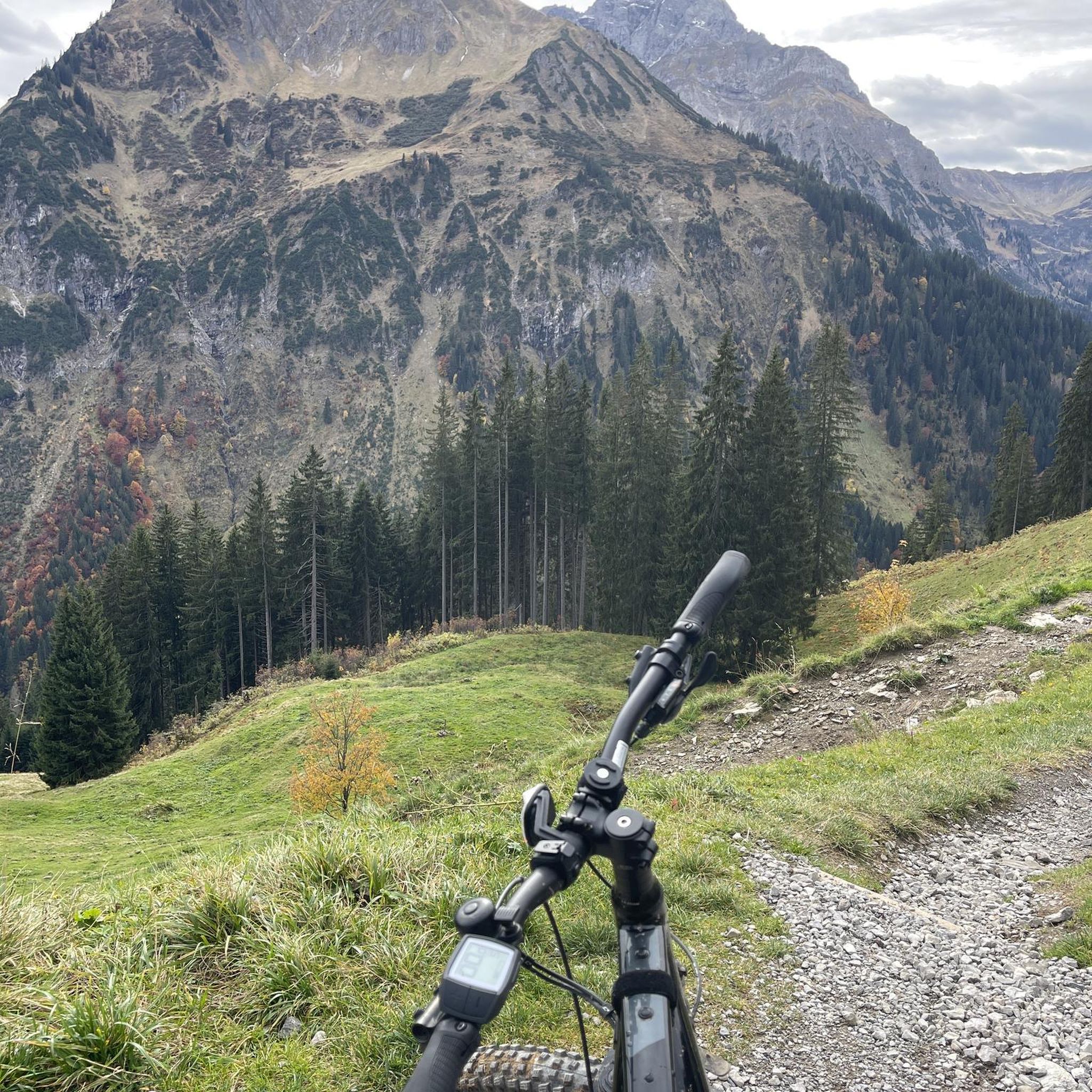
City hikes in Roruper Holz

City hikes in Hirschpark Nordkirchen

City hikes around Borkenberge

City hikes in Venner Moor
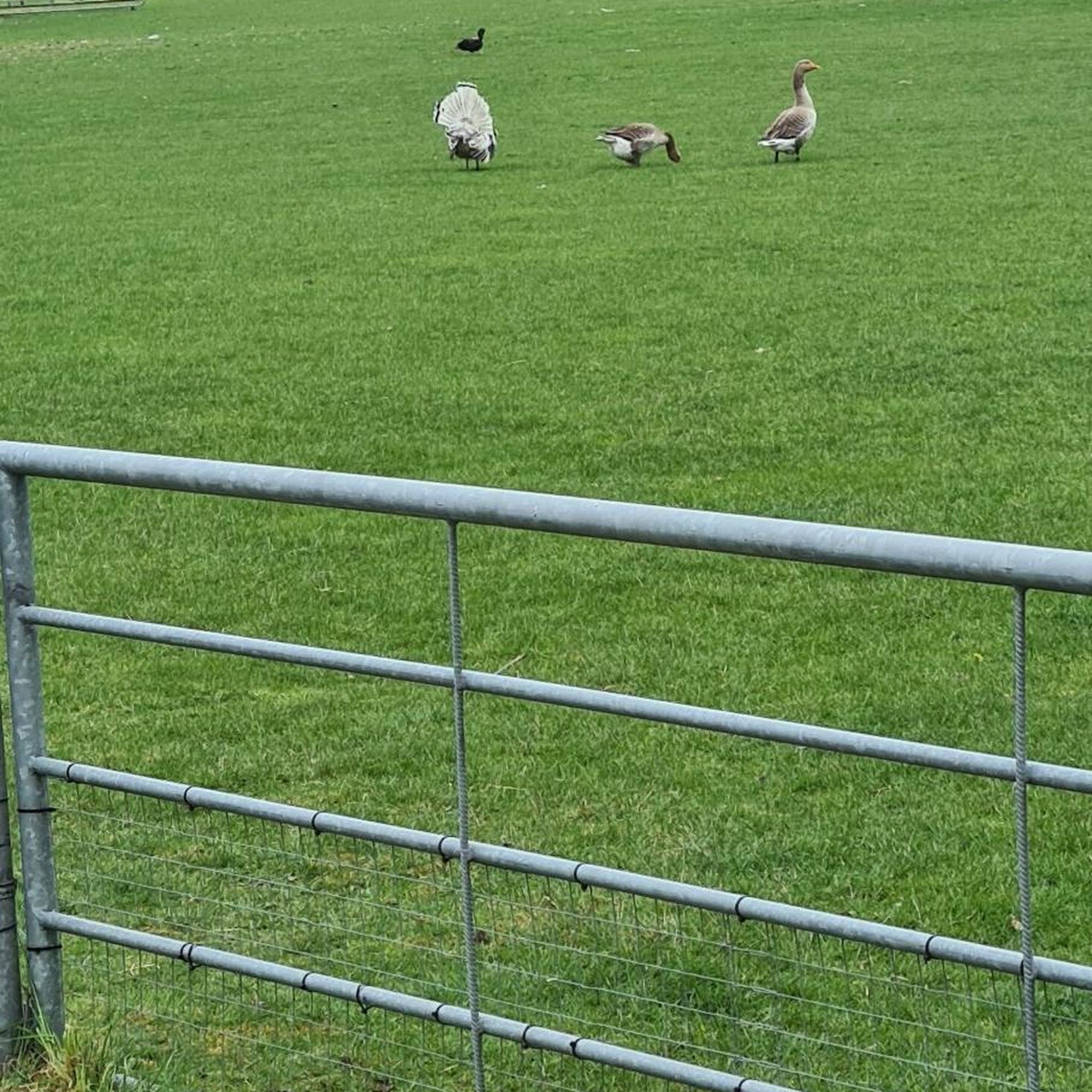
City hikes in Waldgebiet Hengwehr Und Hanloer Mark

City hikes in Coesfelder Davert

City hikes around Lüdinghausen
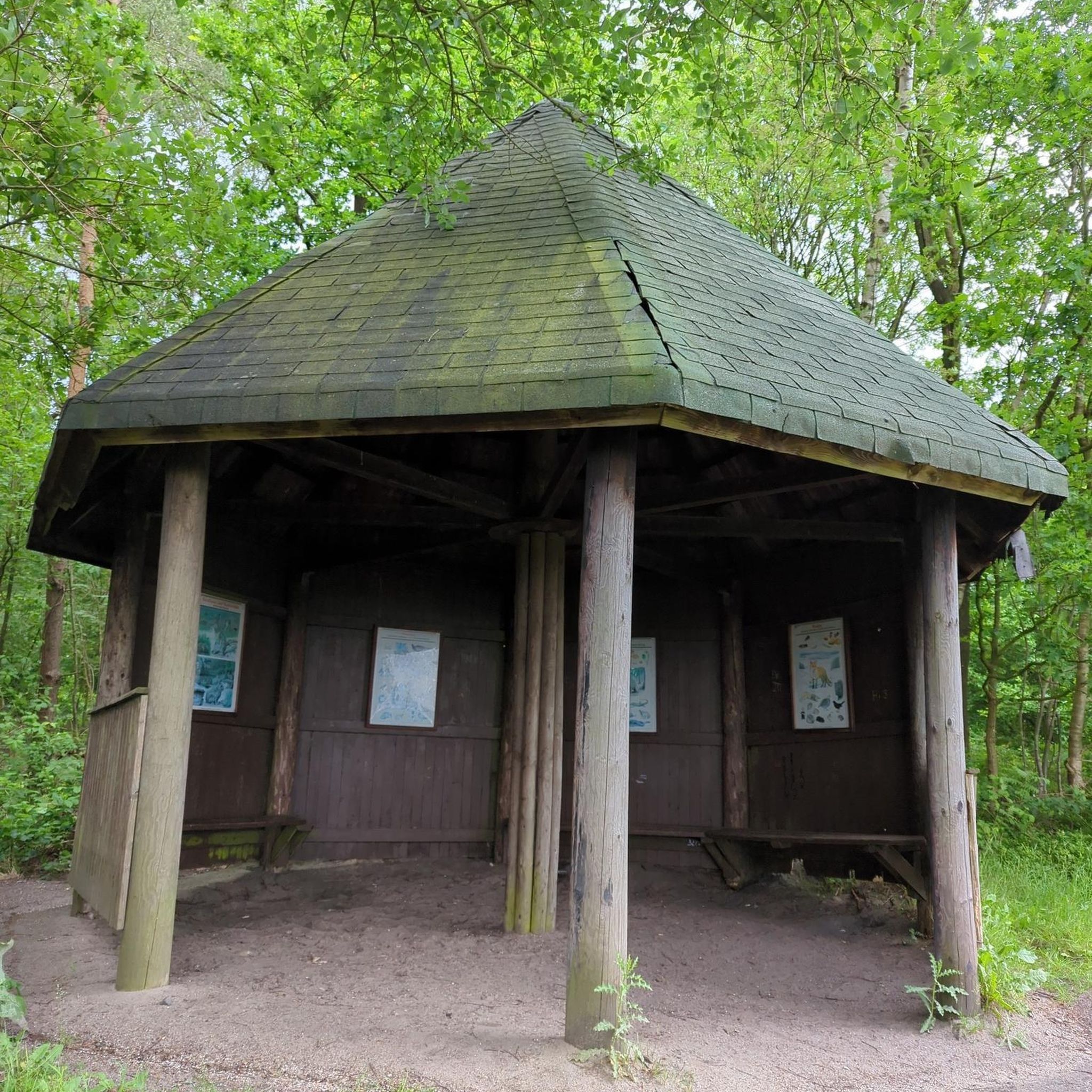
City hikes around Olfen

City hikes in Ichterloh

City hikes in Wildpferdebahn Im Merfelder Bruch
Other adventures in Coesfeld


Tips from the Community


Great section on a great circular hiking trail.
0
0
I walked the LandStreifer „Burgenpatt“ and passed by here. This frame is one of the many big and small highlights of this beautiful circular hiking trail.
0
0
I ran the LandStreifer „Burgenpatt“ and walked past here. The Klutensee is one of the many big and small highlights of this beautiful circular hiking trail.
0
0
I ran the LandStreifer „Burgenpatt“ and walked past here. The castle is one of the many big and small highlights of this beautiful circular hiking trail.
0
0

A beautiful bike and hiking trail on the Berkel
1
0

Besides its palaces and castles, Lüdinghausen has a whole lot of old buildings to offer. Likewise the pedestrian zone and various places to linger. If you want to try them all, you won't be able to turn back. I like the city and the surrounding paths. Bicycle friendly.
0
0

Great nature along the paths near the moated castles.
0
0
Frequently Asked Questions
How many urban hiking trails are available in Coesfeld?
Coesfeld offers a wide selection of urban hiking trails, with over 50 routes available. The vast majority of these, 56 to be precise, are rated as easy, making them accessible for most hikers. There are also 2 moderate routes for those seeking a slightly greater challenge.
What kind of terrain can I expect on urban hikes in Coesfeld?
Urban hikes in Coesfeld generally feature gentle terrain, often following riverbanks, through parks, and past historical sites. The region is known for its picturesque landscapes, including the Baumberge hills which offer varied, though not overly strenuous, terrain. Most routes are considered easy, with minimal elevation changes.
Are there any circular urban walks in Coesfeld?
Yes, many urban hikes in Coesfeld are designed as circular routes, perfect for exploring without needing to retrace your steps. An example is the Walkenbrückentor – Berkel River loop from Coesfeld, which offers a pleasant walk along the river.
What interesting landmarks or attractions can I see along urban hiking trails in Coesfeld?
Coesfeld's urban hikes often lead past significant historical and natural attractions. You can encounter impressive moated castles like Vischering Castle or the grand Nordkirchen Palace. Other routes might take you along waterways like the Alte Fahrt between Datteln and Olfen, or past scenic lakes such as the Great Pond in Venner Moor.
Are the urban hiking trails in Coesfeld suitable for families?
Absolutely! With 56 out of 58 routes rated as easy, Coesfeld's urban hiking trails are very family-friendly. The gentle terrain and numerous points of interest, such as castles and natural reserves, make them enjoyable for all ages. Consider a route like the Vischering Castle – Moat at Vischering Castle loop from Lüdinghausen for a scenic family outing.
Can I bring my dog on urban hikes in Coesfeld?
Many urban hiking trails in Coesfeld are dog-friendly, allowing you to enjoy the outdoors with your canine companion. It's always recommended to keep dogs on a leash, especially in nature reserves or near wildlife. Always check local signage for specific rules regarding dogs on individual trails.
What do other hikers enjoy most about urban hiking in Coesfeld?
The komoot community highly rates urban hiking in Coesfeld, with an average score of 4.6 out of 5 stars from nearly 20,000 ratings. Hikers often praise the well-maintained paths, the blend of natural beauty with historical landmarks, and the accessibility of the routes for various fitness levels.
Are there urban hikes in Coesfeld that offer viewpoints?
While Coesfeld's urban hikes are generally not mountainous, the Baumberge region does offer varied terrain with some scenic vistas. Additionally, specific highlights like the Kuhlenvenn Birdwatching Platform provide excellent opportunities for panoramic views of the surrounding nature and wildlife.
What is the best time of year for urban hiking in Coesfeld?
Coesfeld's urban hiking trails are enjoyable year-round. Spring brings blooming nature, while autumn offers vibrant foliage. Summer is ideal for longer days, and even winter can be beautiful with crisp air and potentially snowy landscapes. The well-maintained paths make them accessible in most conditions.
Are there urban hiking routes that pass by cafes or places to rest?
Yes, many urban routes in Coesfeld are designed to pass through or near towns and villages, offering opportunities to stop at cafes, restaurants, or bakeries. For instance, routes around Vischering Castle often have nearby cafes. Planning your route with komoot allows you to identify such points of interest along the way.
How long do urban hikes in Coesfeld typically take?
The duration of urban hikes in Coesfeld varies greatly depending on the route and your pace. Many routes are shorter, ideal for a leisurely stroll, while others can be several hours long. For example, the Skew Bridge (Olfen) – Poitou Donkeys in Steverauen loop from Olfen is about 5 km and takes around 1.5 hours, while the Vischering Castle – Klutensee loop from Lüdinghausen is closer to 6.7 km and takes about 2 hours.
Most popular routes in Coesfeld
Most popular attractions in Coesfeld

Get inspired with the komoot mobile app


Didn’t find what you were looking for?
Check out more Hikes throughout Coesfeld below and find the perfect route in your destination.
Explore more
Browse the best Hikes in other regions.
