The best hikes from bus stations around Warendorf
4.5
(11031)
43,578
hikers
1,650
hikes
Bus station hiking trails around Warendorf traverse the gentle "park landscape" of Münsterland, characterized by a mix of meadows, forests, and the meandering Ems River. The region offers diverse, well-maintained paths, with minimal elevation changes across much of the terrain. While generally flat, areas like the Beckumer Berge provide slight hills up to 170 meters, offering broader views.
Best bus station hiking trails around Warendorf
- The most popular bus station hiking route is Geisterholz Forest Trails – House Geist loop…
Last updated: August 20, 2026
4.7
(254)
656
hikers
Moderate hike. Good fitness required. Easily-accessible paths. Suitable for all skill levels.
4.8
(535)
1,504
hikers
Moderate hike. Good fitness required. Easily-accessible paths. Suitable for all skill levels.

Sign up for free
4.8
(146)
487
hikers
Moderate hike. Good fitness required. Easily-accessible paths. Suitable for all skill levels.
4.7
(131)
387
hikers
Moderate hike. Good fitness required. Easily-accessible paths. Suitable for all skill levels.
4.8
(101)
317
hikers
9.61km
02:26
20m
20m
Moderate hike. Good fitness required. Easily-accessible paths. Suitable for all skill levels.
Get access to more routes and recommendations from other explorers.
Sign up for free
Already have an account?
Our route recommendations are based on thousands of hikes, rides, and runs completed by other people on komoot.
Start today with a free account
Your next adventure awaits.
Login or Signup
Popular around Warendorf
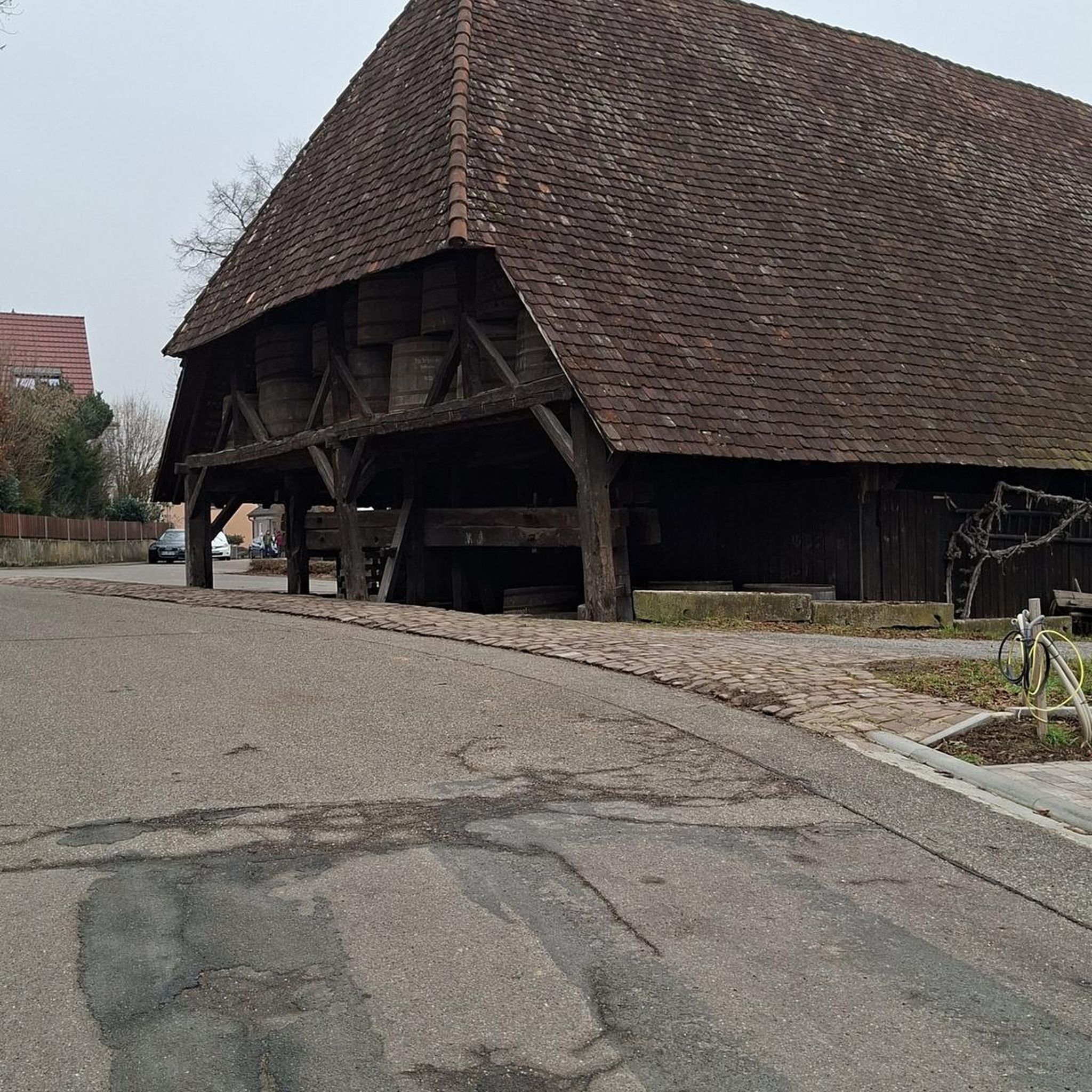
Hikes from bus stations around Telgte
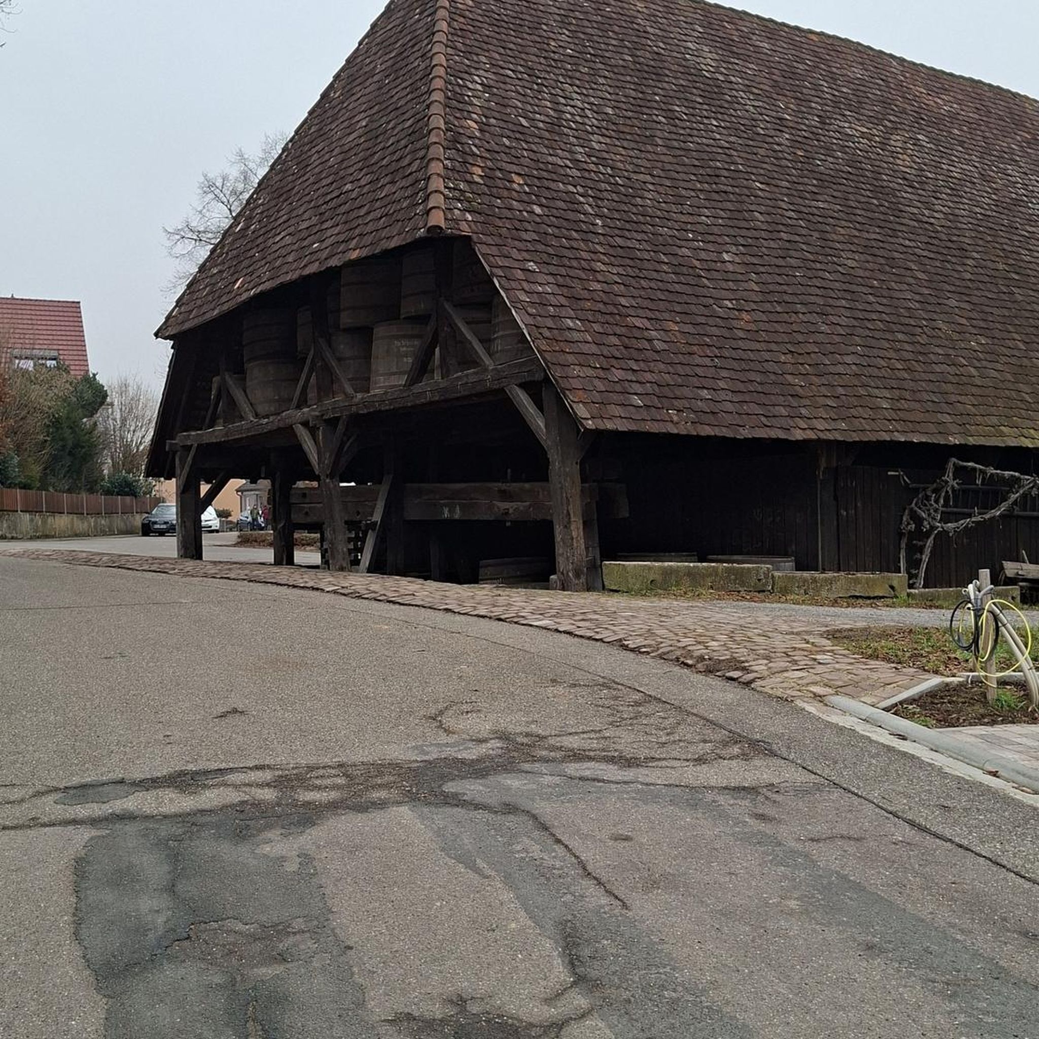
Hikes from bus stations around Emsaue bei Telgte
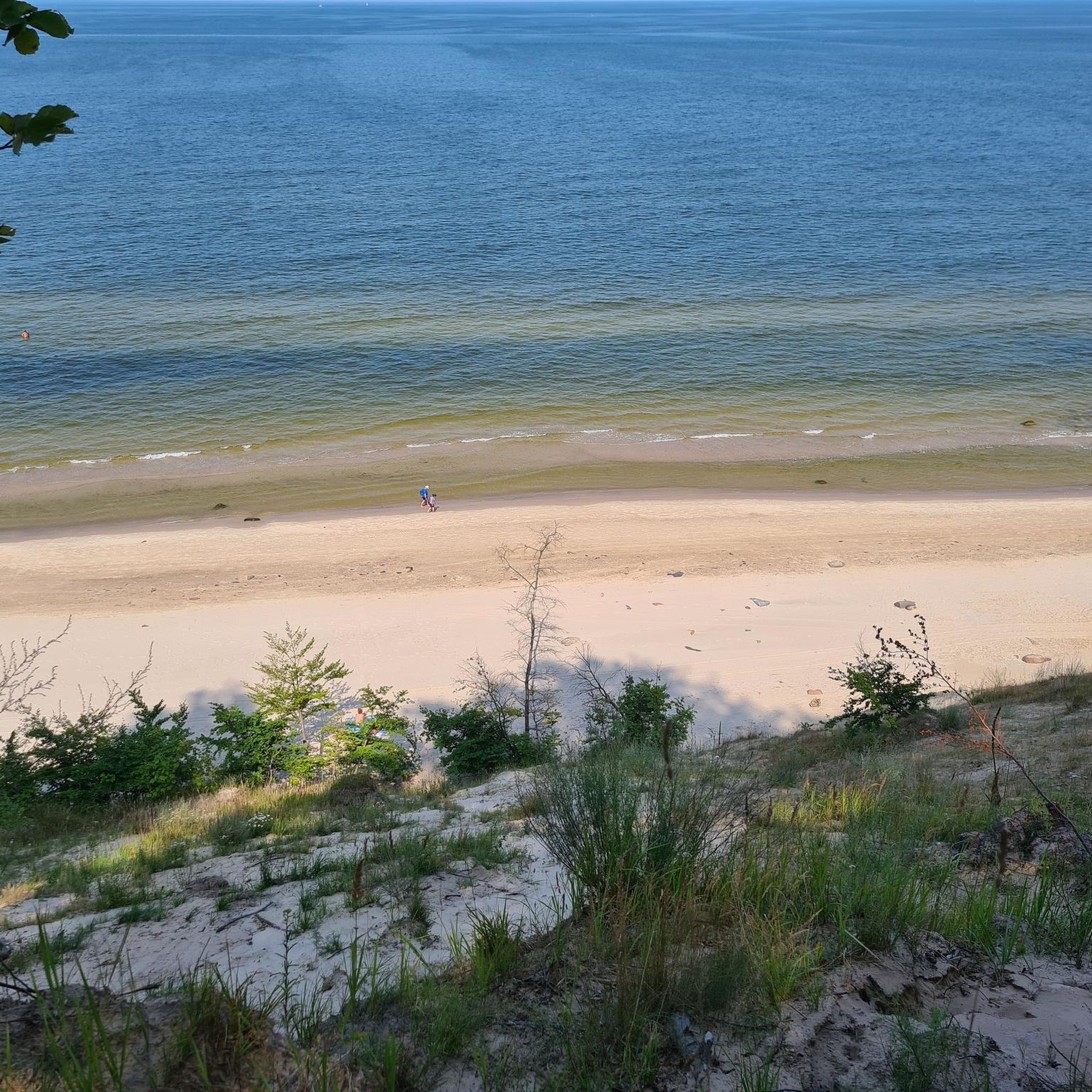
Hikes from bus stations around Oelde
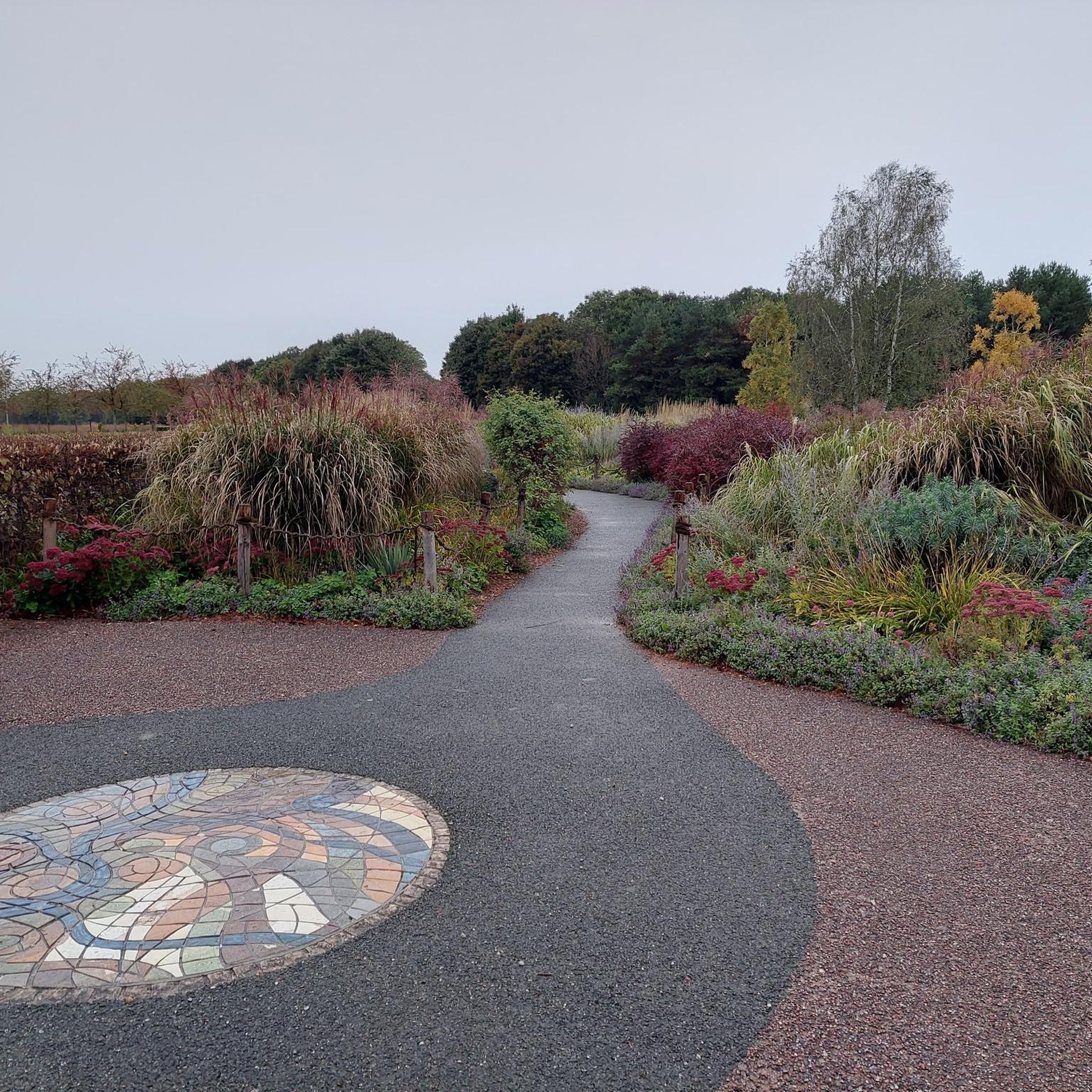
Hikes from bus stations around Ahlen
Hikes from bus stations around Beckum

Hikes from bus stations around Klatenberge
Hikes from bus stations around Drensteinfurt

Hikes from bus stations around Ennigerloh
Hikes from bus stations around Ostbevern
Hikes from bus stations around Sassenberg
Other adventures around Warendorf


Tips from the Community

Perfect for letting the two- or four-legged children have a play.
0
0

The Bever is a tributary of the Ems and flows through the area of Ostbevern and Westbevern before it flows into the Ems near Haus Langen. The Beveraue is part of a scenically characterized river floodplain, which is often highlighted in local hiking trails as a particularly noteworthy section.
0
0
The Alte Mühle near Haus Langen is one of the most striking parts of the historical ensemble in Westbevern. It is located at a weir on the Bever river, shortly before the river flows into the Ems, and together with the manor house forms a very typical Münsterland water and manor landscape. The complex was originally operated as an oil mill and was later used for grinding grain; it was still in operation until the 1960s. Today it is no longer a technical facility, but a historical building in private ownership, which is particularly noticeable for its location and appearance. It is precisely the combination of the watercourse, the weir, the old mill architecture, and the surroundings of Haus Langen that makes the place so charming. The Münsterland explicitly describes the scenery as romantic and as a popular motif for painters and photographers. The mill belongs to the long history of Haus Langen and the manor house there, which was associated with the "Rittern von Langen" early on. Thus, the Alte Mühle is not only a beautiful photo motif, but also a visible remnant of the medieval economic and ruling structure in the region.
0
0
The 5th station of the Way of the Cross in Westbevern is a small, but historically significant devotional and wayside shrine point on the path from Westbevern to Telgte. It belongs to the 14 stations of an old Way of the Cross from the 2nd half of the 19th century, which was solemnly inaugurated in 1857 and has since been regularly used in the context of processions and devotions. In terms of content, the 5th station typically represents "Simon of Cyrene helps Jesus to carry the cross" in the classic Way of the Cross scenario – a moment when a stranger shares Jesus' burden. The stations were originally donated by Westbevern families; the 5th station goes back to the Weitkamp and Schröder families, who were registered as donors at the time. The station is now part of the "Westbeverner Kulturroute" and is part of a quiet devotional path surrounded by forest and meadows – less noisy and touristy, more calm and contemplative. For hikers and cyclists, it offers a short, quiet stop to appreciate the landscape, the tranquility, and the historical significance of the place.
0
0
Quiet, natural path directly on the Ems, leading through the protected floodplain landscape of the Emsaue near Telgte. Willows, meadows, old riverbeds, and occasional views of sandbanks and steep banks make the walk or bike ride a peaceful nature experience. An ideal section for a relaxed round, which can be easily incorporated into hikes or bike tours around Telgte.
0
0

Magnificent, how it sits enthroned there above the Gassbachtal, the fields and plum orchards 🤩
0
0
We were in bloom 🤩🥰! The tour is also beautiful during plum harvest 👍!
1
0

Haus Langen is a former knight's estate near the Ems. The ringwork fortification was built before the year 1000 and is one of the oldest fortresses with a surrounding moat as protection. Only the gatehouse remains of the complex. Directly opposite is a double mill.
1
0
Frequently Asked Questions
How many bus station hiking trails are available around Warendorf?
The Warendorf region offers a vast network of hiking trails accessible by bus, with over 1600 routes available. This includes more than 1000 easy routes and nearly 600 moderate options, ensuring there's a suitable path for every hiker.
What kind of landscape can I expect on bus station hikes in the Warendorf region?
You'll experience the charming 'park landscape' typical of Münsterland, featuring gentle hills, meadows, and forests. Many trails follow the scenic Ems River and its floodplains, often passing traditional farmhouses, manors, and castles. Areas like the Geisterholz Forest Trails offer beautiful woodland experiences, while the Stromberg Plum Orchard route showcases unique cultural landscapes.
What is the best time of year for hiking from bus stations in Warendorf?
Spring and autumn are ideal for bus station hikes in Warendorf. In spring, nature awakens with blossoming flowers, while autumn offers vibrant foliage and mild weather. The Ems river landscape is particularly stunning in autumn and winter, with thin ice layers on backwaters and frosted riverside forests.
Are there family-friendly bus station hikes in Warendorf?
Yes, many of the routes are suitable for families. The region's generally gentle terrain and well-maintained paths make for pleasant walks. Look for routes described as 'easy' for the most family-friendly options, often passing through parks or along riverbanks where children can enjoy the scenery.
Can I bring my dog on these bus station hikes?
Most hiking trails in the Warendorf region are dog-friendly, but it's always recommended to keep your dog on a leash, especially in nature reserves, near livestock, or in busy areas. Be mindful of local regulations and ensure your dog is well-behaved around other hikers and wildlife.
Are there circular routes accessible from bus stations?
Absolutely. Many of the bus station hikes are designed as circular routes, allowing you to start and end your journey at the same point without needing to retrace your steps. Examples include the Geisterholz Forest Trails – House Geist loop and the Bever-Ems Confluence – Ems Beach loop.
What natural features or landmarks can I see on bus station hikes?
You can discover a variety of natural features and historical landmarks. Many routes follow the Ems River, leading to spots like the Ems Lake, Warendorf, or offering views of the Emssee and Emsseepark. You might also encounter historic town centers like Warendorf's Historic Market Square or Telgte Market Square, which are great for a break.
Are there any longer, more challenging bus station hikes for experienced hikers?
While the region is generally known for its gentle terrain, there are longer, moderate routes available. For instance, the Bever-Ems Confluence – Ems Beach loop covers over 16 km. For more significant elevation, consider routes in the nearby Beckumer Berge, which offer views from up to 170 meters, providing a different kind of challenge.
What do other hikers say about the bus station trails in Warendorf?
The bus station trails around Warendorf are highly rated by the komoot community, with an average score of 4.5 stars from nearly 10,000 ratings. Reviewers often praise the quiet woodlands, the scenic river paths, and the well-maintained routes that make for enjoyable and accessible outdoor experiences.
Can I combine a bus station hike with a visit to a historic town?
Yes, absolutely! Warendorf itself boasts a charming Historic Market Square with cozy restaurants and cafés. The nearby pilgrimage town of Telgte also features a historic market square (Telgte Market Square) with attractive buildings, making it easy to combine your hike with cultural exploration and a relaxing break.
Are there bus station hikes that follow rivers or lakes?
Many routes in the Warendorf area are centered around water features. The Ems River is a prominent natural element, with trails like the Sandy Beach on the Ems River loop offering scenic views. You can also find routes that pass by the beautiful Ems Lake, Warendorf, and its surrounding park.
Most popular routes around Warendorf
Most popular attractions around Warendorf

Get inspired with the komoot mobile app


Didn’t find what you were looking for?
Check out more Hikes throughout Warendorf below and find the perfect route in your destination.
Explore more
Browse the best Hikes in other regions.
