The best city hikes and walks in Altmark
4.6
(3052)
10,903
hikers
120
hikes
Urban hiking trails in Altmark traverse a region characterized by its diverse and well-preserved natural landscapes, despite being largely flat. The area features significant riverine landscapes, including the UNESCO Middle Elbe Biosphere Reserve, and picturesque river meadows. While primarily flat, some areas like "Altmark Switzerland" near Klötze offer more varied topography. The region also includes extensive heathlands and Saxony-Anhalt's largest natural lake, Arendsee.
Best urban hiking trails in Altmark
- The most popular urban hiking route is Tangermünde Town Hall –…
Last updated: September 30, 2026
4.7
(91)
420
hikers
Easy hike. Great for any fitness level. Easily-accessible paths. Suitable for all skill levels.
4.5
(29)
85
hikers
Easy hike. Great for any fitness level. Easily-accessible paths. Suitable for all skill levels.

4.5
(14)
81
hikers
9.07km
02:18
20m
20m
Moderate hike. Good fitness required. Easily-accessible paths. Suitable for all skill levels.
4.1
(22)
95
hikers
Easy hike. Great for any fitness level. Easily-accessible paths. Suitable for all skill levels.
5.0
(8)
41
hikers
6.53km
01:40
20m
20m
Easy hike. Great for any fitness level. Easily-accessible paths. Suitable for all skill levels.
Get access to more routes and recommendations from other explorers.
Already have an account?
Our route recommendations are based on thousands of hikes, rides, and runs completed by other people on komoot.
Start today with a free account
Your next adventure awaits.
Popular around Altmark
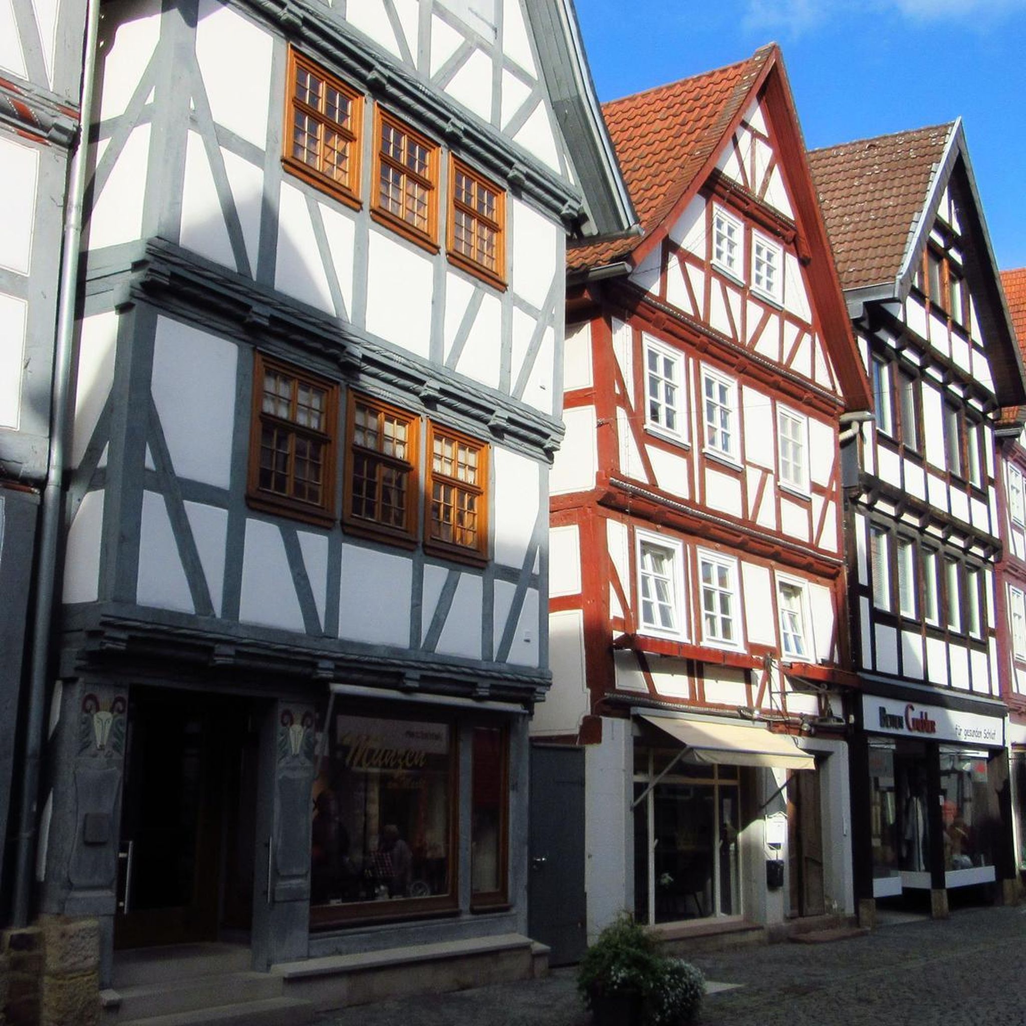
City hikes in Stendal

City hikes in Altmarkkreis Salzwedel
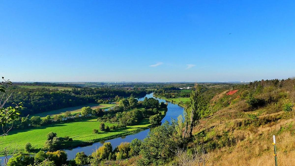
The National Natural Landscapes in Saxony-Anhalt
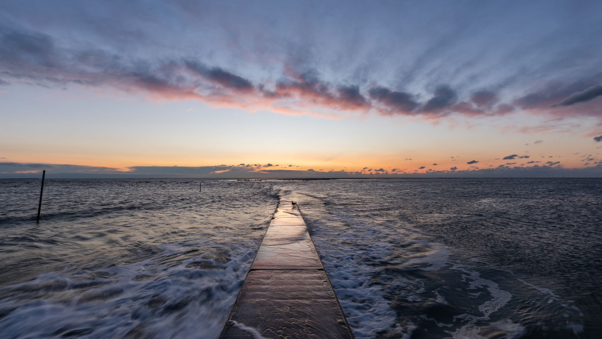
The National Natural Landscapes in Niedersachsen

#GoFurther – discover the views of Germany!
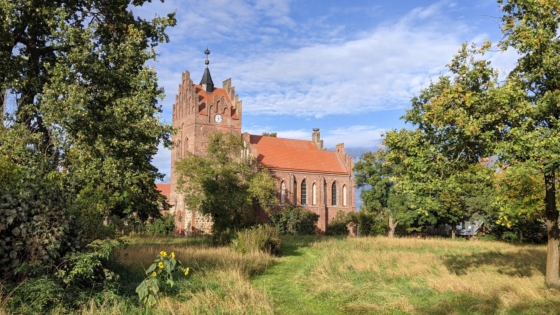
Pilgrimage route Berlin ► Bad Wilsnack ► Tangermünde
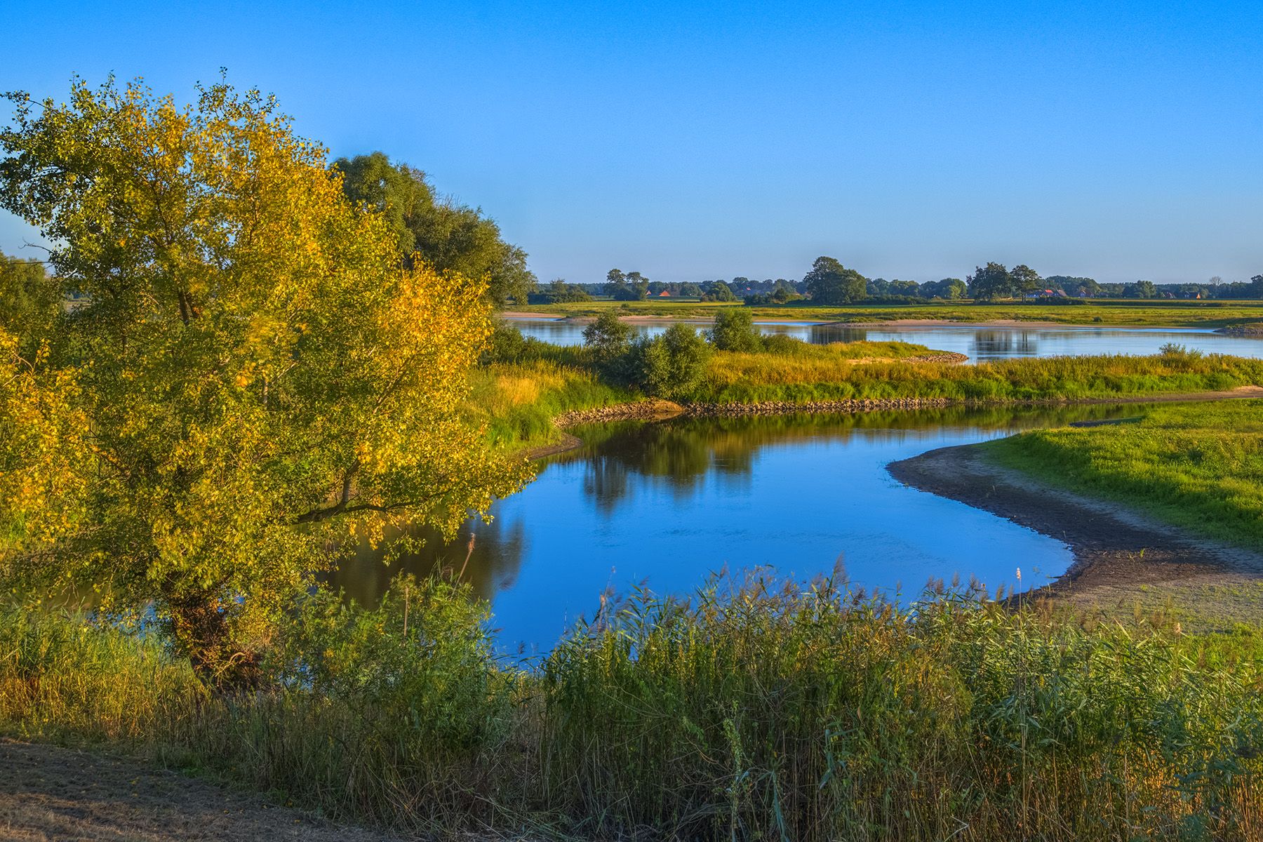
Discover the Green Belt in the Elbe-Altmark-Wendland with BUND

Lowest to Highest (L2H) in Germany

Discover the nature along the “Greenbelt” together with the BUND
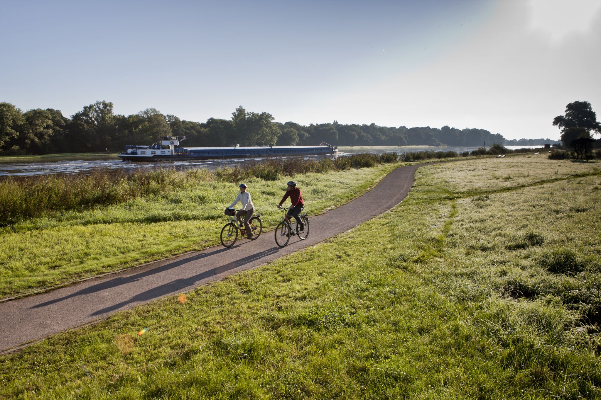
Elbe Cycle Route – Ride through Saxony-Anhalt
Other adventures in Altmark


Tips from the Community

The castle tower in the Salzwedel castle garden is the oldest preserved building in the city. It is considered the historical heart and architectural landmark of the Hanseatic city. The round brick tower was built at the end of the 12th century (probably around 1160). It served as the central defensive tower (keep) of a once powerful, ring-shaped lowland castle. This castle complex had an overall diameter of about 220 meters and protected the important trade route (Salzstraße) at the crossing of the river Jeetze. The tower today has a striking height of around 24 meters. Originally, it was even higher and culminated in a steep roof spire. To withstand possible sieges, the foundation was built extremely solidly. The wall thickness at the base of the tower is an impressive 3.60 meters. Typical for medieval defensive towers, the original entrance is not at ground level, but is a so-called high entrance at a height of about 12 meters. Inside, in the lower, windowless area, lies the former dungeon. The tower is freely accessible in the park-like castle garden and is surrounded by old trees and the remains of the historic castle wall. While the garden area can be visited free of charge daily from 7:00 AM to 8:00 PM, the interior of the tower is usually only open for special city events or as part of guided tours booked through the Salzwedel Tourist Information.
2
0
The Burggarten in Salzwedel is a quiet city park in the center, located on the grounds of the historic Salzwedel Castle. • Address: Burgstraße 42, 29410 Salzwedel • Opening hours: Daily from morning until evening (approx. 7:00 AM to 8:00 PM) • Admission: The park is freely accessible. • Atmosphere: Very quiet, green, and characterized by historical flair. Visitors appreciate the place for strolling and lingering. • The Keep (Castle Tower): The well-preserved defensive tower dates from the late 12th century. It is about 24 meters high with impressive wall thickness at the base. The high entrance is at a height of around 12 meters. • Memorial Hall (Hall of Honor): In 1923, a hall of honor was erected for the fallen of World War I. • Remains of St. Anne's Chapel: Remains of the old castle chapel's walls can still be seen on the grounds. • Remains of the defensive wall and castle moat: Evidence of the former ring-shaped lowland castle, which was likely built in the 9th century to protect a trade route on the Jeetze river. • Directly from the Burggarten, stairs lead down to the courtyard of the well-known Baumkuchen bakery Café Kruse, where the famous Salzwedel Baumkuchen can be enjoyed. • In summer, the park occasionally serves as a venue for open-air festivals.
2
0
The St. Lawrence Church is the Catholic parish church of the Hanseatic city of Salzwedel and is considered the city's oldest preserved church building. It is located on the Romanesque Road in Saxony-Anhalt. As the original church tower was dismantled over the centuries, the church today lacks a classic church tower. It is semi-circularly surrounded by picturesque half-timbered houses and blends unobtrusively into the historic cityscape. The building was constructed in the mid-13th century (approx. 1230–1250) as a late Romanesque, three-nave brick basilica. Later, craftsmen incorporated Gothic cross-ribbed vaults into the nave and choir. After the Reformation, the structure lost its function as a place of worship. From 1692, it was used for decades as a salt warehouse (Salzfaktorey) by electoral order. The salt deposits, deeply embedded in the masonry, pose enormous structural challenges for monument preservation to this day, as they attract moisture and damage the bricks. After a devastating city fire in 1705, the side aisles were demolished. It was not until the 19th century that the Catholic community took over the dilapidated building again. The northern side aisle was finally reconstructed in the 1960s on the old, medieval foundations.
2
0

Many thanks for your descriptions, which say a lot about the Jeetze.
2
0
The Jeetze (later called Jeetzel in its Lower Saxony course) is the lifeline of the Hanseatic city of Salzwedel in Saxony-Anhalt. The approximately 73-kilometer-long river originates in the Altmark and flows into the Elbe near Hitzacker. In Salzwedel, it significantly shapes the cityscape and history. Thanks to the Jeetze, Salzwedel received its Hanseatic rights in 1263. From the Middle Ages until the 19th century, the river served as an important trade and transport route, via which goods were transported by ship to the Elbe and further to Hamburg. The city even had its own harbor. Today, the Jeetze winds through the historic old town in numerous branches and small canals.
3
0
The Stendal Gate in Gardelegen These are the remains of one of the four representative city gates from the 16th century, which at the time, connected by a city wall, led around Gardelegen. On the opposite side of the street, there was a bastion, just as this one still exists today in remnants on the left side. On the site of the former city fortification, the green ring of ramparts now extends around the city center. The moat can still be discerned in some places. https://www.gardelegen.de/B%C3%BCrgerservice/Anliegen-von-A-bis-Z/Verwaltung/Stendaler-Tor-.php?ModID=9&FID=3524.613.1&La=1&object=tx%7C3524.1.1&redir=1
2
0
In the premises of the former town hall of the Hanseatic city of Salzwedel, the Salzwedel District Court is located today. The northern part, built from 1490 to 1509, is the oldest part of the historic town hall. At the beginning of the 17th century, the town hall was extended by a corner building. The use of the building as a town hall ended in 1714. Afterwards, the structure served, among other things, as a guardhouse, warehouse, and council cellar. In 1820, the judiciary moved into some of the premises of the Renaissance building. Since the middle of the 19th century, the court has been located in the entire building. The adjacent building was erected in 1867 as a prison. https://erlebnisland.de/sachsen-anhalt/hansestadt-salzwedel/sehenswuerdigkeiten/ehemaliges-rathaus-altstadt-amtsgericht-salzwedel
2
0
Duplicate to the town hall, because the district court is located in the building of the former town hall of the old town Salzwedel.
1
0
Frequently Asked Questions
How many urban hiking trails are available in Altmark?
Altmark offers a wide selection of urban hiking trails, with over 130 routes available. The majority of these, around 114, are classified as easy, making them accessible for most hikers. There are also 16 moderate trails for those seeking a bit more challenge.
What kind of urban hiking experiences can I expect in Altmark?
Urban hiking in Altmark often combines historical exploration with scenic riverine landscapes. You can expect to walk through charming old towns, along ancient town walls, and discover local landmarks. Many routes also feature picturesque river meadows and offer glimpses into the region's natural beauty, even within urban settings.
Are there any circular urban walks in Altmark?
Yes, many urban trails in Altmark are designed as circular routes, allowing you to start and end in the same location. For example, you can explore the historic town of Tangermünde on the Tangermünde Town Hall – Neustädter Gate loop, or discover Salzwedel with the Salzwedel station – Puparschbier Fountain loop.
What are some notable landmarks or attractions to see on urban hikes in Altmark?
Urban hikes in Altmark often lead you past significant historical and natural landmarks. In Stendal, you can see the impressive Stendal Roland and the Town Hall on the Stendal Roland – Stendal Town Hall loop. Other highlights include the historic town wall in Gardelegen, the St. Mary's Church in Salzwedel, and natural features like the Confluence of the Tanger and Elbe Rivers near Tangermünde.
Are the urban hiking trails in Altmark suitable for families?
Absolutely. With a large number of easy routes, urban hiking in Altmark is very family-friendly. The relatively flat terrain and shorter distances of many city walks make them ideal for all ages. Exploring historic towns and local parks provides engaging experiences for children.
Can I bring my dog on urban hikes in Altmark?
Generally, urban hiking trails in Altmark are dog-friendly, especially those that traverse parks, riverbanks, and less crowded areas. However, it's always advisable to keep your dog on a leash, particularly in town centers or protected natural areas, and to check local regulations for specific routes.
What is the typical difficulty level of urban hikes in Altmark?
Most urban hikes in Altmark are classified as easy, with 114 out of 130 routes falling into this category. These trails typically feature minimal elevation changes and well-maintained paths, making them accessible for casual walkers. There are also 16 moderate routes for those looking for a slightly longer or more varied experience.
Are there any urban trails that offer views or viewpoints?
While Altmark is largely flat, some urban routes offer interesting perspectives. For example, the Bölsdorfer Haken Nature Observation Tower provides a viewpoint over the surrounding landscape, and walks along riverbanks or town walls can offer scenic vistas of the towns and waterways.
What do other hikers enjoy most about urban hiking in Altmark?
The komoot community highly rates urban hiking in Altmark, with an average score of 4.61 stars from over 2,600 ratings. Reviewers often praise the region's well-preserved historic towns, the peaceful riverine landscapes, and the accessibility of the trails, which allow for a pleasant blend of cultural and natural exploration.
Are there places to rest or get refreshments along urban hiking routes?
Yes, urban hikes in Altmark often pass through towns and villages where you can find cafes, restaurants, and shops. Some routes also feature designated rest areas, such as the Rest area and lakeside benches at Arendsee or the Kagel Fishery Arendsee, offering opportunities for a break and refreshments.
What is the best season for urban hiking in Altmark?
Urban hiking in Altmark is enjoyable throughout much of the year. Spring and autumn offer pleasant temperatures and beautiful scenery, with blooming flowers or colorful foliage. Summer is also suitable, especially for walks along rivers or in shaded town areas. Even winter can be charming for city walks, provided you dress appropriately.
Most popular routes in Altmark
Most popular attractions in Altmark

Get inspired with the komoot mobile app


Didn’t find what you were looking for?
Check out more Hikes throughout Altmark below and find the perfect route in your destination.
Explore more
Browse the best Hikes in other regions.
