The best hikes from bus stations around Cuxhaven
4.5
(11012)
52,532
hikers
1,472
hikes
Bus station hiking trails around Cuxhaven offer access to a diverse landscape where the Elbe River meets the North Sea. The region features extensive sandy beaches, unique dune landscapes, and protective dikes along the coast. Inland, hikers can explore the Wernerwald forest, the Cuxhaven Coastal Heath, and various lakes. This varied terrain provides a range of hiking experiences, from coastal walks to forest paths.
Best bus station hiking trails around Cuxhaven
- The most popular bus station hiking route is Grimmershörn…
Last updated: October 23, 2026
4.7
(488)
2,214
hikers
12.6km
03:10
20m
20m
Moderate hike. Good fitness required. Easily walkable paths.
4.7
(327)
2,191
hikers
6.36km
01:36
10m
10m
Easy hike. Easily walkable paths.

4.7
(484)
2,729
hikers
10.9km
02:45
20m
20m
Moderate hike. Good fitness required. Easily walkable paths.
4.7
(132)
1,071
hikers
6.75km
01:42
10m
10m
Easy hike. Easily walkable paths.
4.3
(114)
294
hikers
Moderate hike. Good fitness required. Easily walkable paths.
Get access to more routes and recommendations from other explorers.
Already have an account?
Our route recommendations are based on thousands of hikes, rides, and runs completed by other people on komoot.
Start today with a free account
Your next adventure awaits.
Popular around Cuxhaven
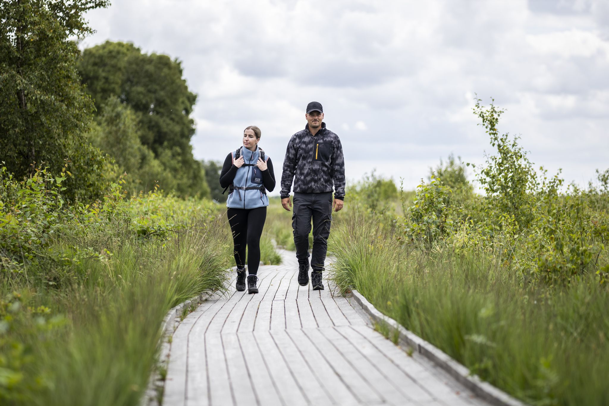
North Sea Hiking Days – between varied coast, moor & seaside towns

The National Natural Landscapes in Niedersachsen
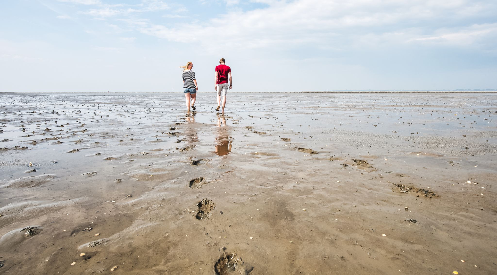
Hiking on the seabed of the North Sea year round
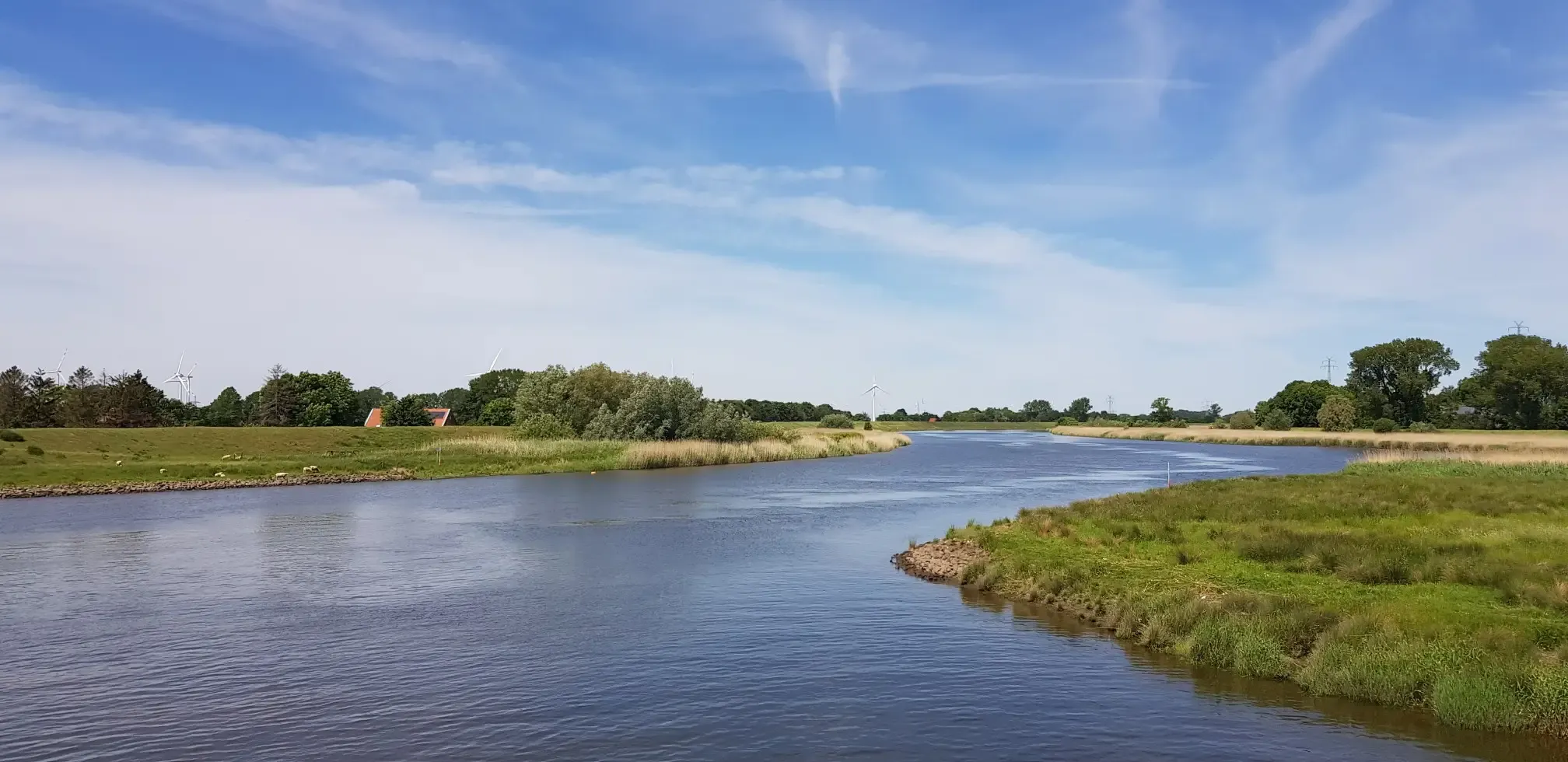
North German nature by bike – from the Devil's Moor to the Wadden Sea
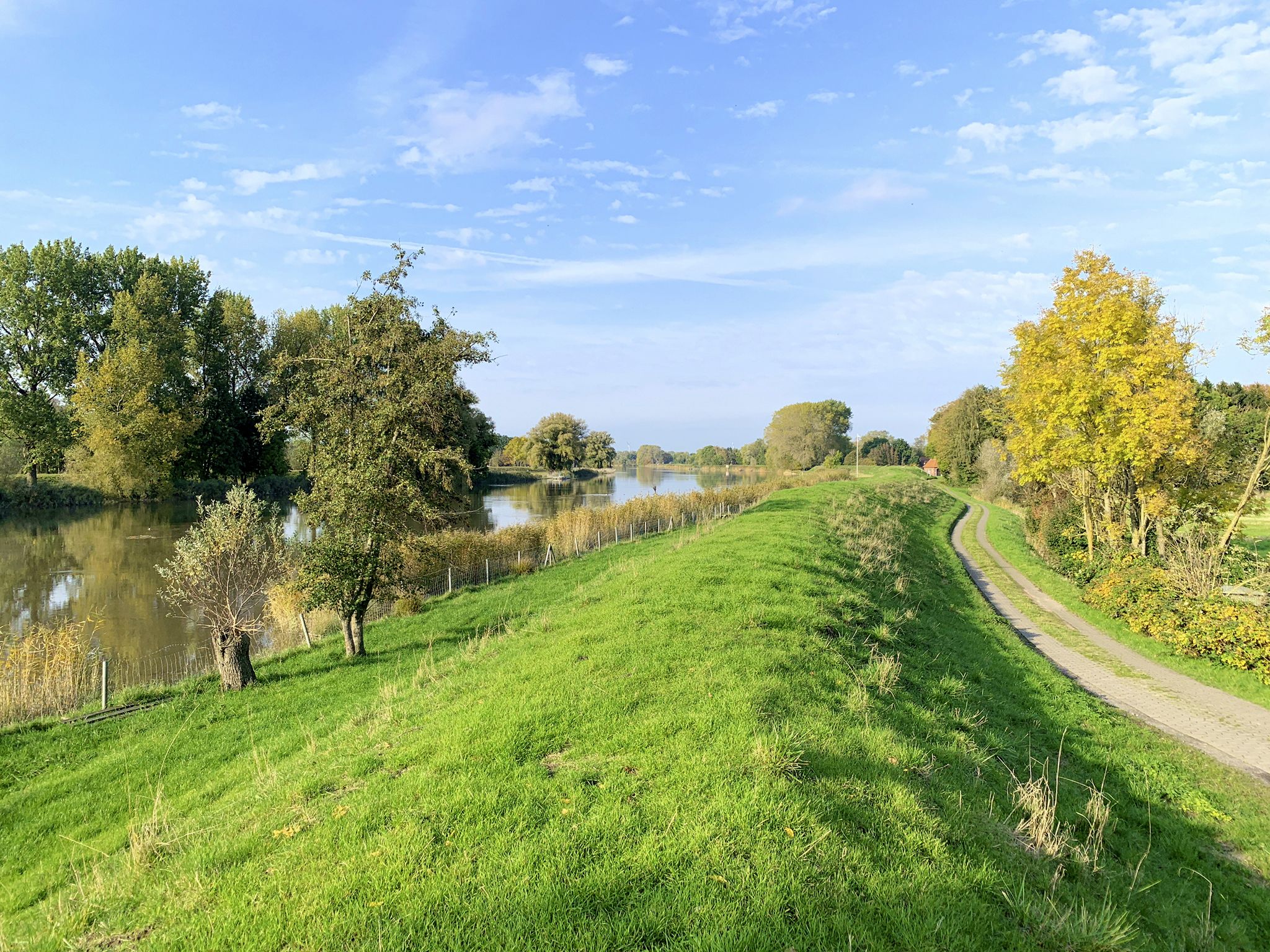
The Oste Cycle Route – Following the Oste from source to mouth
Elbe-Weser cycle path – 4 days on the tracks of the former route
The Weser Cycle Path
Nine hundred kilometres of pure freedom – North Sea Cycle Route

German Cycling Network – Cycling all over the country on the D-Routes

D-Route 10: Elbe Cycle Route
Other adventures around Cuxhaven


Tips from the Community

A great destination can be found here at the ferry terminal in Cuxhaven.
1
0

From here, the ships go to Helgoland
0
0
The Döser Strandbereich is a family-friendly beach area on the North Sea. Döse is a charming district of Cuxhaven, where maritime tranquility meets lively family fun. Where the wide sandy beach gently slopes into the sea and the Elbe estuary fascinates with passing ships, you will find the perfect mix of nature, relaxation, and adventure. This place is known for its harmonious combination of beach, spa park, and the busy ship traffic on the Elbe. The wide sandy beach with shallow water offers not only safety for children but also an incomparable view of the Elbe estuary with passing ships. Here you can watch ships passing on the world shipping route and enjoy the proximity to the Kugelbake, the landmark of Cuxhaven. You can experience the UNESCO World Natural Heritage Wadden Sea up close here. Absolutely recommendable and interesting at the same time 👍🏼. A great excursion destination for everyone.
3
0
The Kugelbake stands on a busy shipping lane in Cuxhaven-Döse and was an important landmark for shipping. Geographically, the Elbe ends here, and the North Sea begins; from a nautical perspective, it separates the outer and inner Elbe. The Elbe estuary has a width of approximately 18 km at the height of the Kugelbake. The Kugelbake is located near the northernmost point of Lower Saxony. Symbolically, the sea mark separates the Elbe and Weser estuary areas from each other.
0
0
The Kugelbake is a wooden sea mark in Cuxhaven. Measured from mean high water to the center of the small sphere, its height is 28.4 m. The term Bake dates back to the Middle Ages, when all sea marks, including lighthouses, were named as such. The Kugelbake is the landmark of Cuxhaven and has been depicted on the town's coat of arms since 1913. The Kugelbake is illuminated at night as a tourist attraction. It is beautiful to behold 👍👍👍. It forms the seaward boundary of the Elbe, i.e., the end of the inland Elbe according to the Federal Waterways Act. You can get information on information boards below the Kugelbake. A visit is recommended and interesting at the same time 👍🏼.
1
0

Always a good hiking spot when the weather is nice.
0
0

A general hazard, in this case a shoal, is marked by a shoal buoy, wreck buoy, or danger buoy. These buoys are used both within and outside of fairways. Cardinal marks provide additional guidance, indicating the direction in which to navigate past the hazard. Both points of the triangles face upwards, making it a north cardinal mark; this means the hazard should be passed to the north with a sufficient distance.
0
0
The Kugelbake is a wooden navigational beacon in Cuxhaven. Measured from mean high tide to the center of the small sphere, its height is 28.4 meters. The term "beacon" dates back to the Middle Ages, when all navigational aids—including lighthouses—were called by this name. It is the landmark of Cuxhaven and has been featured in the city's coat of arms since 1913. The Kugelbake is illuminated at night as a tourist attraction. It marks the seaward boundary of the Elbe River, thus the end of the inner Elbe. From here begins the outer Elbe.
0
0
Frequently Asked Questions
How many bus station hiking trails are available around Cuxhaven?
There are over 1400 hiking routes around Cuxhaven that are accessible from bus stations. This includes a wide variety of trails, with over 880 easy routes, 520 moderate routes, and 37 more challenging options.
What kind of landscapes can I expect on bus-accessible hikes in Cuxhaven?
Cuxhaven offers a diverse range of landscapes, from the unique Wadden Sea UNESCO World Heritage Site with its mudflats and dikes, to extensive sandy beaches like Duhnen Beach, and the tranquil Wernerwald Forest. You can also explore the Cuxhaven Coastal Heath, which features varied landscapes, dense forests, and open heathland.
Are there any easy, family-friendly bus station hikes in Cuxhaven?
Yes, Cuxhaven has many easy routes suitable for families. For example, the Duhnen Seafront Promenade loop from Döse is an easy 6.16 km walk along the beach promenade. Another great option is the Dorum-Neufeld Harbor loop, which offers views of the North Sea dike and is also considered easy.
What are some popular circular bus station hikes in the Cuxhaven area?
Many routes around Cuxhaven are circular, allowing you to return to your starting point. The Grimmershörn Bay – View of the Kugelbake loop from Cuxhaven is a popular easy circular route. For a moderate option, consider the Flögelner See outflow loop from Flögeln, which takes you around the beautiful Flögelner See.
Can I bring my dog on bus-accessible hiking trails in Cuxhaven?
Many trails in Cuxhaven are dog-friendly, especially those along the dikes and through the Wernerwald Forest. However, always check local regulations, especially in nature reserves like the Wadden Sea, where dogs might need to be on a leash or are restricted in certain areas to protect wildlife. Beaches often have designated dog sections.
What interesting landmarks or viewpoints can I see along these routes?
You can discover several notable landmarks and viewpoints. The iconic Kugelbake is a must-see, often visible from coastal trails like the Grimmershörn Bay loop. The Dicke Berta Lighthouse is another charming landmark. For scenic vistas, the View of Cuxhaven from Grimmershörn Bay and the Grimmershörnbucht Promenade offer excellent perspectives of the harbor and coastline.
What is the best time of year for bus station hikes in Cuxhaven?
The best seasons for hiking in Cuxhaven are typically spring and summer, when the weather is mild and nature is in full bloom. Autumn also offers pleasant conditions with colorful foliage. The fresh North Sea air makes for an enjoyable experience year-round, but be prepared for wind and potentially cooler temperatures outside of summer.
Are there any longer, more challenging bus station hikes available?
While many routes are easy to moderate, Cuxhaven does offer some longer options. The Duhnen Dyke – Duhnen Seafront Promenade loop from Duhnen is a moderate 12.8 km route that provides a good workout. For a truly unique challenge, consider a guided mudflat hike across the Wadden Sea, which can be 10-12 km and takes 3-4 hours, requiring careful attention to tide times.
What do other hikers say about the bus-accessible trails in Cuxhaven?
The hiking trails around Cuxhaven are highly rated by the komoot community, with an average score of 4.6 out of 5 stars from nearly 9,400 ratings. Reviewers often praise the diverse coastal and forest landscapes, the well-maintained paths, and the refreshing North Sea air.
Are there any places to stop for refreshments or shelter along the bus station routes?
Yes, many routes, especially those along the coast or near towns, offer opportunities for refreshments. You'll find cafes and restaurants in areas like Duhnen and Cuxhaven. Additionally, there are several huts and shelters, such as Herbert's Hut or the Weather Protection Hut, providing places to rest or take cover.
Most popular routes around Cuxhaven
Most popular attractions around Cuxhaven

Get inspired with the komoot mobile app


Explore more
Browse the best Hikes in other regions.
