The best hikes from bus stations around Attersee
4.5
(22767)
148,471
hikers
278
hikes
Bus station hiking trails around Attersee offer access to a diverse landscape in Austria's Salzkammergut region. The area features the large, clear Lake Attersee, surrounded by varied topography ranging from gentle hills in the Attergau to more challenging mountain slopes. Dense forests, rugged cliffs, and alpine meadows characterize the terrain, providing a wide array of hiking experiences. The region's natural features include the Attersee-Traunsee Nature Park, known for its diverse biotopes and rich flora and fauna.
Best bus station hiking…
Last updated: May 14, 2026
4.1
(8)
30
hikers
12.6km
04:03
540m
560m
Hike the moderate 7.8-mile Mountains-Lakes Trail A4 from Steinbach to Weyregg, offering panoramic views of Lake Attersee.
4.8
(96)
805
hikers
14.7km
07:36
1,200m
1,200m
Hard hike. Very good fitness required. Sure-footedness, sturdy shoes and alpine experience required.

Sign up for free
4.7
(147)
667
hikers
Moderate hike. Good fitness required. Easily-accessible paths. Suitable for all skill levels.
92.1km
28:27
3,040m
3,040m
Hard hike. Very good fitness required. Mostly accessible paths. Sure-footedness required.
4.7
(156)
650
hikers
Moderate hike. Good fitness required. Easily-accessible paths. Suitable for all skill levels.
Get access to more routes and recommendations from other explorers.
Sign up for free
Already have an account?
Our route recommendations are based on thousands of hikes, rides, and runs completed by other people on komoot.
Start today with a free account
Your next adventure awaits.
Login or Signup
Popular around Attersee
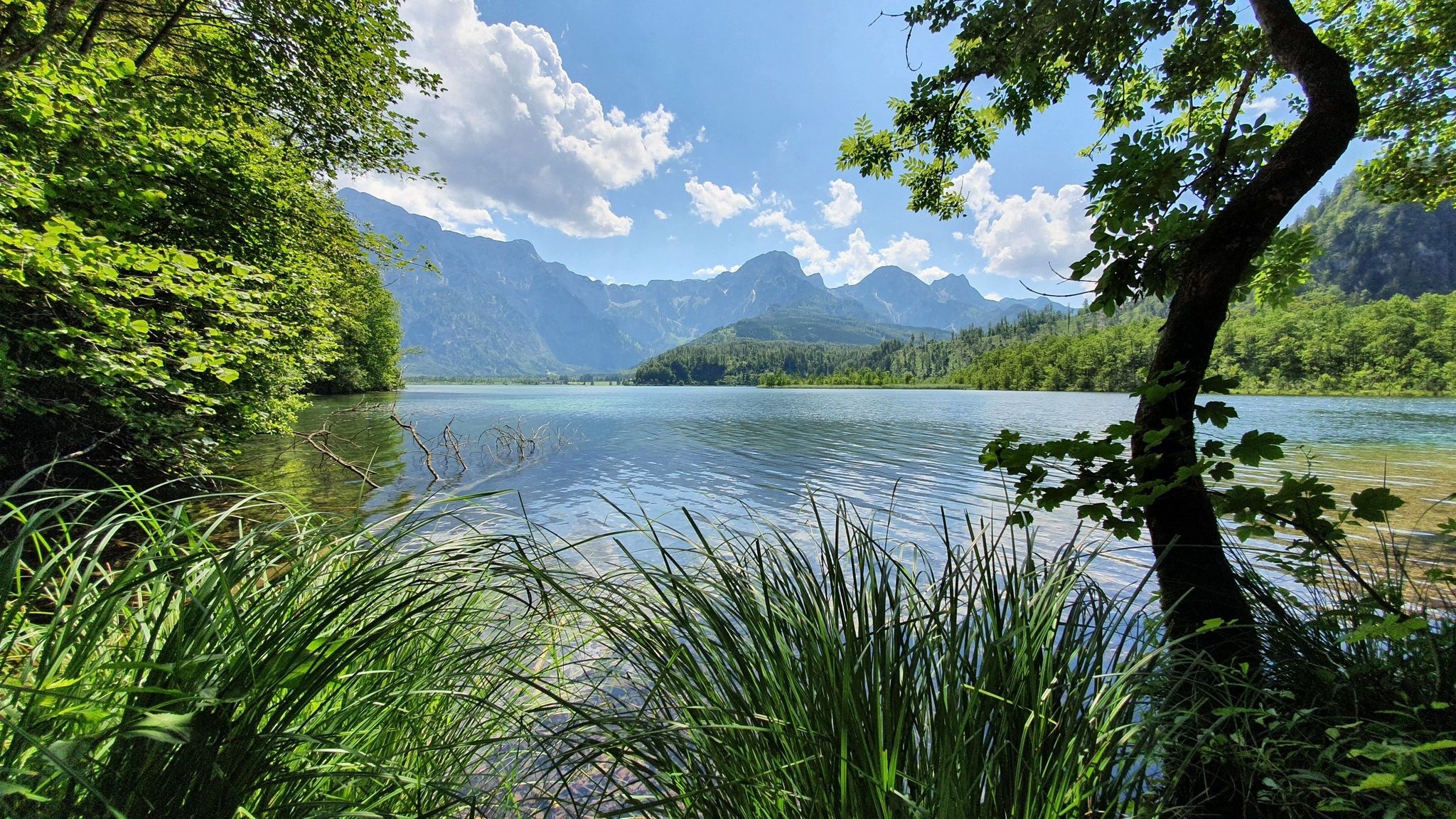
Voralpenweg 04 – From Vienna to Bad Reichenhall
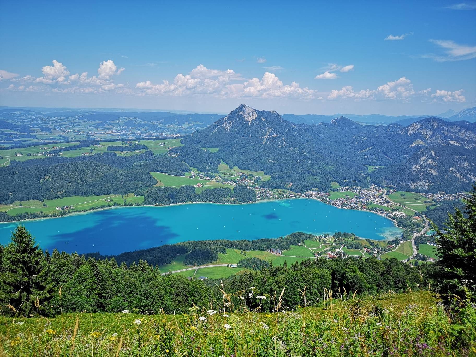
BergeSeen Trail – Long distance hiking in Austria's Salzkammergut with mountains and lakes galore
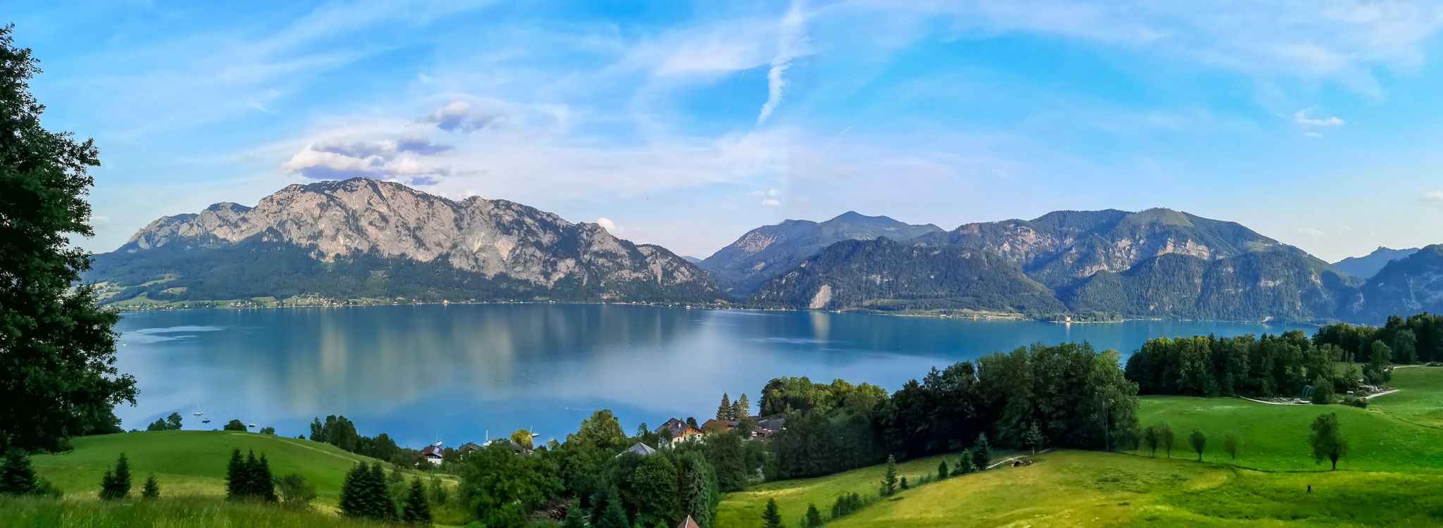
Attersee-Attergau — The long distance hiking trail once around
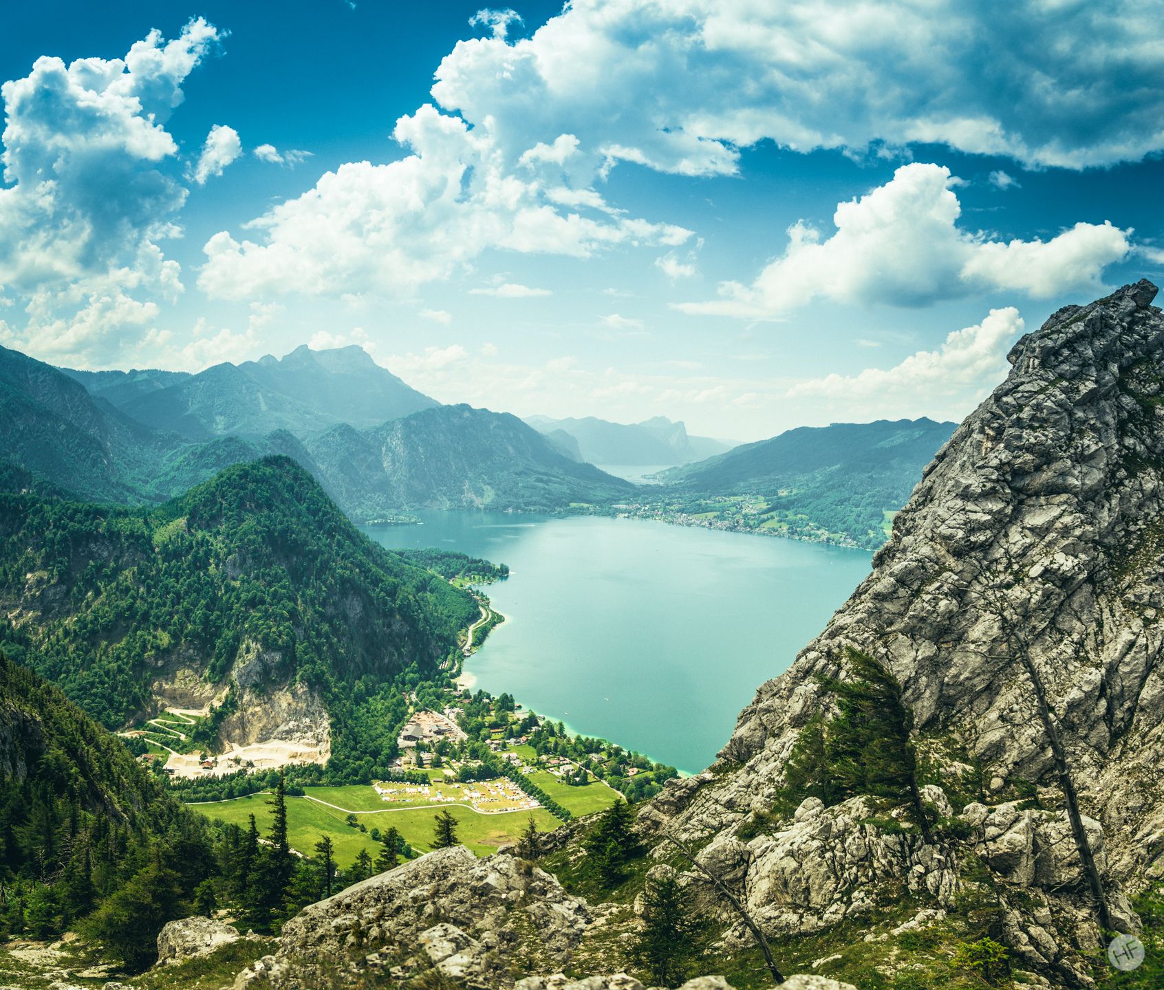
Around the Attersee – long-distance trails and the mountain hikes
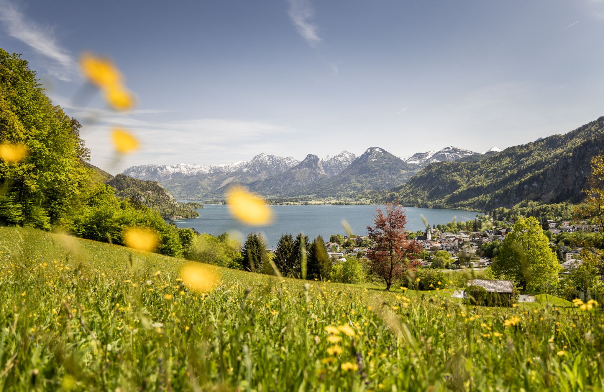
Between water and rock – hiking in Salzkammergut
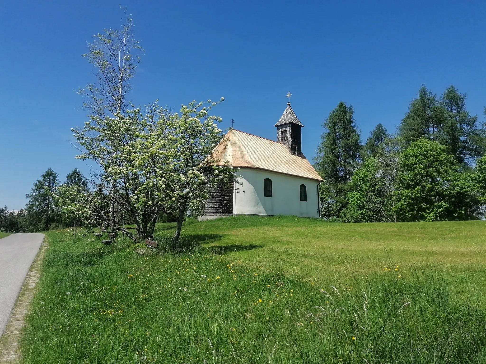
A spiritual loop between two Austrian lakes – Josefweg

Discover Austria’s largest lake — day hikes around Lake Attersee
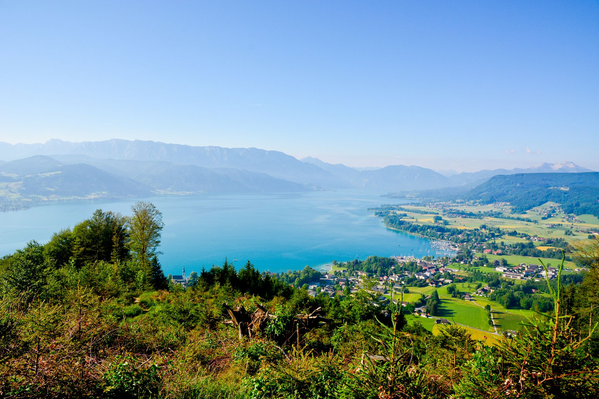
Far away from everyday stress – hikes around the Attersee
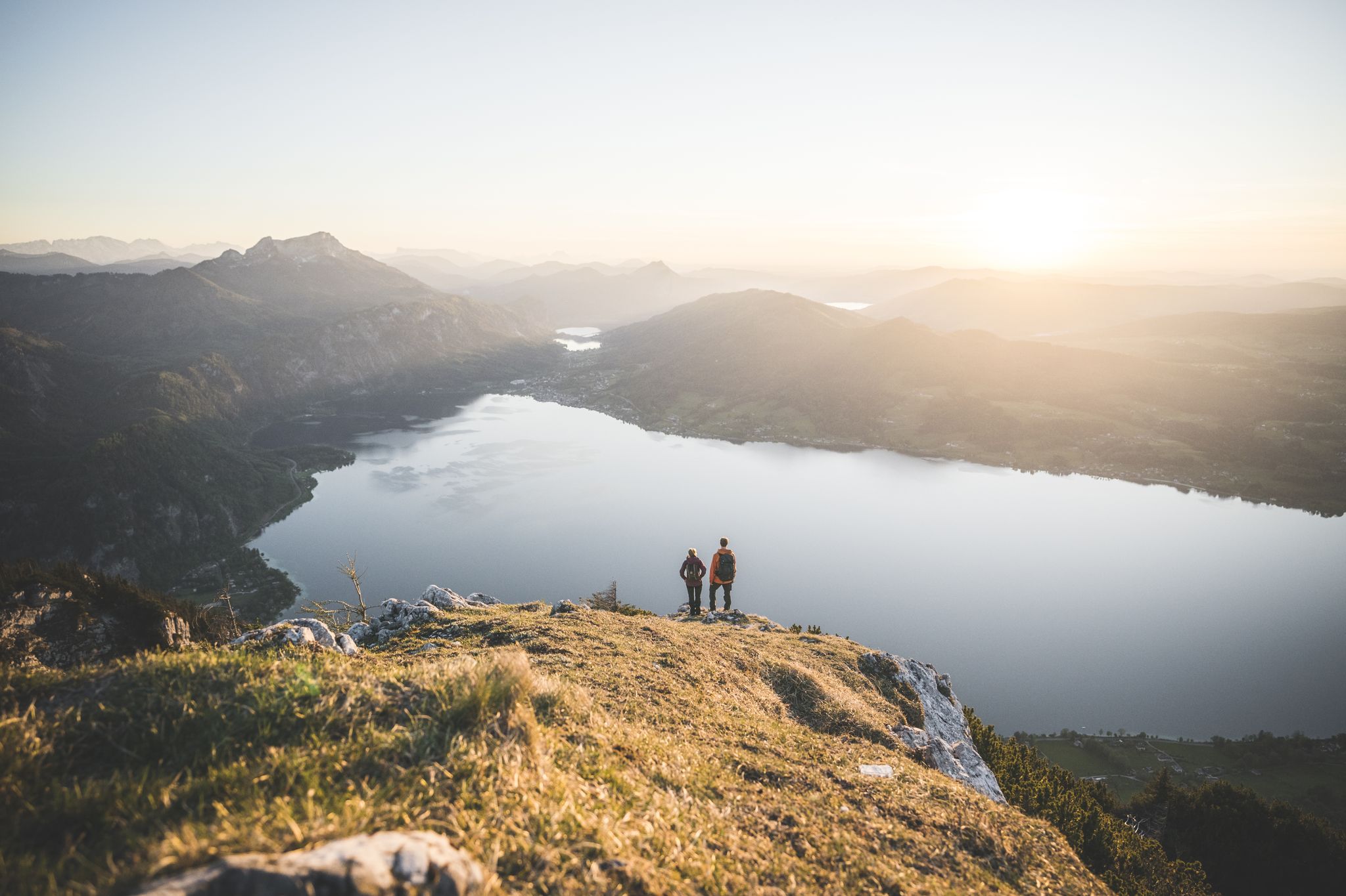
Explore the Salzkammergut on the BergeSeen Trail
Austria's sensational swimming lakes
Other adventures around Attersee


Tips from the Community

Great tour, very nice hike with a great panorama, always beautiful views of the Attersee, Irrsee, etc. A bit strenuous but highly recommended!
2
0

Beautiful narrow path through a green gorge with small waterfalls.
1
0

From the hiking trail on the Mahdlschneid ridge you have a breathtaking view of Lake Attersee and the surrounding mountains.
1
0

Beautiful view of Lake Attersee
0
0

Do you need climbing equipment or can you do it without?
0
0

Far below you can now see the beautiful Weissenbach am Attersee
0
0

This great part of the route requires a bit of sure-footedness. Securing is recommended in the event of rain or ice.
1
0

Cool, short spot with a steel ladder.
1
0
Frequently Asked Questions
How many bus-accessible hiking trails are there around Attersee?
The Attersee region offers a wide selection of bus-accessible hiking trails, with over 270 routes available. These range from easy lakeside strolls to more challenging mountain ascents, ensuring options for all fitness levels.
What makes hiking around Attersee special when starting from a bus station?
Starting your hike from a bus station in Attersee allows you to experience the region's diverse landscapes without needing a car. You can easily access trails that wind through the tranquil Attergau hills, along the crystal-clear Lake Attersee, and into the foothills of the surrounding mountains. This offers a unique blend of alpine and lakeside scenery, often leading to stunning viewpoints and natural attractions.
What is the best time of year to hike around Attersee using public transport?
The best time for hiking around Attersee is generally from spring to autumn. During these seasons, the weather is pleasant, and the bus services are typically more frequent, making it easier to access trailheads. Spring brings blooming meadows, summer offers refreshing lake views, and autumn provides vibrant foliage. Winter hiking is possible, but some higher trails may be inaccessible due to snow, and bus schedules might be reduced.
Are there any family-friendly bus-accessible hikes around Attersee?
Yes, there are several family-friendly options. A popular choice is the trail leading to the Nixie Falls (Mermaid Falls) in Weißenbach am Attersee. This path features adventure stations for children and leads to a beautiful 50-meter-high waterfall, making it an engaging experience for younger hikers. Many easy routes along the lake shore are also suitable for families.
Can I bring my dog on bus-accessible trails in Attersee?
Generally, dogs are welcome on most hiking trails around Attersee. However, it's crucial to keep them on a leash, especially in nature protection areas, near livestock, or in crowded sections. When using public transport, check the specific bus company's regulations regarding pets, as some may require muzzles or charge a small fee. Always carry water for your dog and clean up after them.
Which bus-accessible trails offer great viewpoints of Lake Attersee and the surrounding mountains?
For breathtaking panoramic views, consider the challenging Dachstein View – View of Lake Attersee loop from Weißenbach am Attersee. This difficult route rewards hikers with spectacular vistas, including the Dachstein View. Another excellent option is the hike to the Großer Schoberstein summit, which offers expansive views over Lake Attersee and the Salzkammergut mountains, particularly stunning at sunset.
Are there any waterfalls accessible by bus in the Attersee area?
Yes, the enchanting Nixie Falls (Mermaid Falls) near Weißenbach am Attersee is easily accessible by bus. This 50-meter-high waterfall is a highlight, especially for families, and is steeped in local legend. The trail to the falls is well-maintained and offers a refreshing natural experience.
What kind of natural features can I expect to see on bus-accessible hikes?
Hikes from bus stations around Attersee offer a rich variety of natural features. You'll encounter the stunning turquoise waters of Lake Attersee, dense forests, rolling hills of the Attergau region, and rugged mountain landscapes. The area is part of the Attersee-Traunsee Nature Park, known for its diverse biotopes, including alpine meadows and unique flora and fauna. You might also spot various natural monuments like the Egelsee.
Are there any long-distance hiking options accessible by bus around Attersee?
Yes, the extensive Attersee-Attergau long-distance hiking trail is designed with public transport access in mind. This challenging route spans over 92 km and can be broken down into sections, allowing hikers to use bus services to start or end their daily stages, making it a flexible option for multi-day adventures.
Where can I find food and drink near bus-accessible trailheads?
Many towns and villages around Lake Attersee, such as Attersee am Attersee, Weyregg am Attersee, and Steinbach am Attersee, have bus stops that are close to restaurants, cafes, and guesthouses. These establishments offer opportunities to refuel before or after your hike. It's always a good idea to check opening hours, especially during off-peak seasons.
What do other hikers enjoy the most about hiking in Attersee?
The Attersee region is highly rated by the komoot community, with an average score of 4.5 stars. Reviewers often praise the stunning combination of lake and mountain views, the clarity of the lake's water, and the well-maintained network of trails. Hikers particularly appreciate the diverse landscapes, from gentle lakeside paths to more challenging mountain ascents, and the opportunity to discover hidden natural gems.
Are there circular routes available from bus stops in Attersee?
Yes, many bus-accessible trails around Attersee are designed as circular routes, allowing you to start and end your hike at the same bus stop. For example, the View of Attersee and Alexenau – View of Lake Attersee loop from Weyregg am Attersee is a moderate circular hike that offers beautiful lake views and returns you to your starting point.
Most popular routes around Attersee
Most popular attractions around Attersee

Get inspired with the komoot mobile app


Explore more
Browse the best Hikes in other regions.
