The best hikes from bus stations in Uri
4.7
(5402)
41,801
hikers
294
hikes
Hiking in Uri offers a diverse alpine environment characterized by towering peaks, deep valleys, and numerous mountain lakes. The region's geography includes the Reuss Valley, a significant historical route, and the Gotthard massif, a hydrological crossroads. Trails often feature crystal-clear mountain lakes, such as Göscheneralpsee, and vibrant alpine flora in early summer. This canton provides a range of bus station hiking trails, from leisurely walks to challenging high-alpine expeditions.
Best bus station hiking trails in Uri
- The most popular bus station hiking route is View of Lake Lucerne – View of Lake Uri (Urnersee) loop from Seelisberg, a 7.2 miles (11.6 km) trail that takes 3 hours 47 minutes to complete, offering expansive views over the lakes.
- Another top favourite among local hikers is Lake Göscheneralp – Circular Hike around Göscheneralpsee loop from Göscheneralpsee, a moderate 7.0 miles (11.3 km) path that circles the scenic Göscheneralpsee.
- Local hikers also love the Glattalpsee – Glattalpsee Lakeside Trail loop from Sahli Seilbahnstation, a 9.4 miles (15.2 km) trail leading through alpine terrain around Glattalpsee, often completed in about 5 hours 22 minutes.
- Hiking in Uri is defined by majestic mountain peaks, serene mountain lakes, and the historic Reuss Valley. The network offers options for different ability levels, from accessible lakeside paths to demanding high-alpine routes.
- The routes in Uri are highly rated by the komoot community with an average score of 4.7 stars from more than 4500 reviews. More than 38000 hikers have used komoot to explore Uri's varied terrain.
Last updated: August 6, 2026
4.8
(249)
924
hikers
11.6km
03:48
460m
460m
Moderate hike. Good fitness required. Mostly accessible paths. Sure-footedness required.
4.8
(155)
1,070
hikers
Moderate hike. Good fitness required. Mostly accessible paths. Sure-footedness required.

Sign up for free
4.7
(63)
448
hikers
12.3km
04:19
630m
630m
Moderate hike. Good fitness required. Mostly accessible paths. Sure-footedness required.
4.8
(54)
427
hikers
4.85km
01:57
250m
250m
Moderate hike. Great for any fitness level. Mostly accessible paths. Sure-footedness required.
4.8
(53)
377
hikers
15.6km
05:27
780m
780m
Hard hike. Very good fitness required. Mostly accessible paths. Sure-footedness required.
Get access to more routes and recommendations from other explorers.
Sign up for free
Already have an account?
Our route recommendations are based on thousands of hikes, rides, and runs completed by other people on komoot.
Start today with a free account
Your next adventure awaits.
Login or Signup
Popular around Uri

Hikes from bus stations around Seelisbergersee
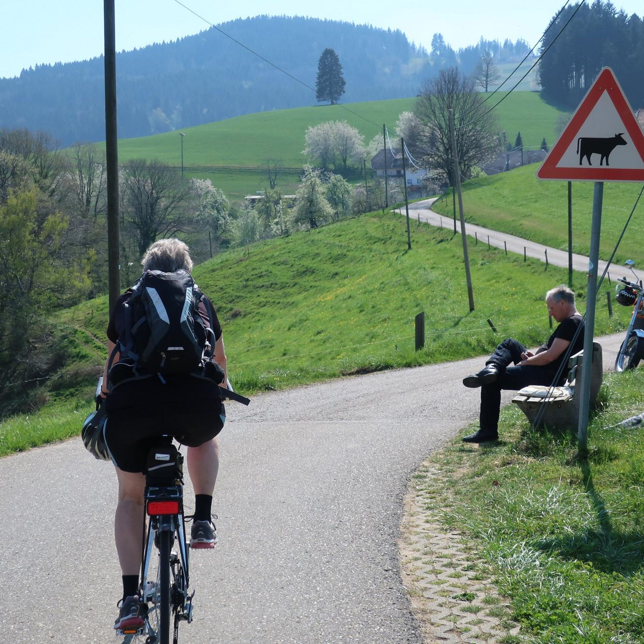
Hikes from bus stations around Göscheneralpsee

Hikes from bus stations around Oberalpsee
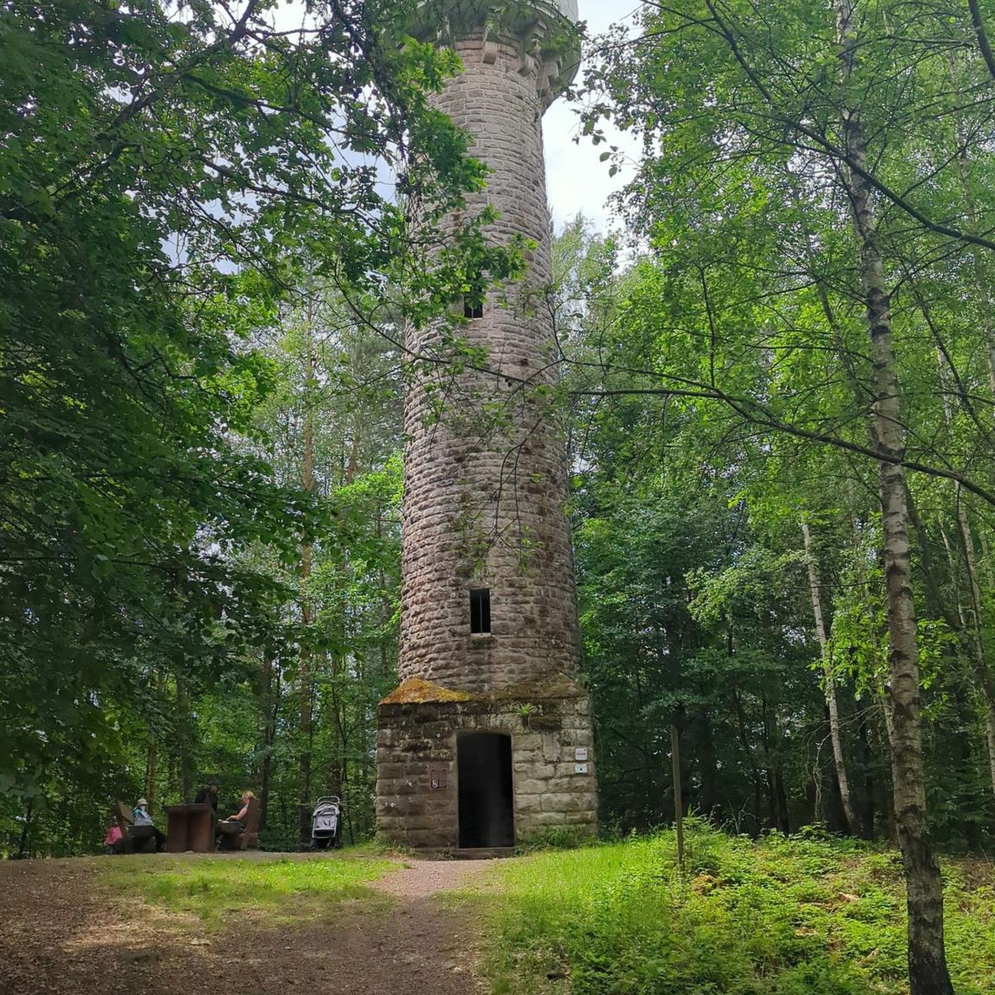
Hikes from bus stations around Altdorf
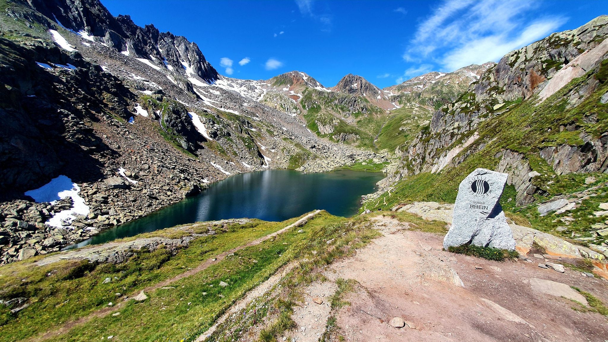
Four Springs Trail — Find flow in Switzerland's Gotthard Massif
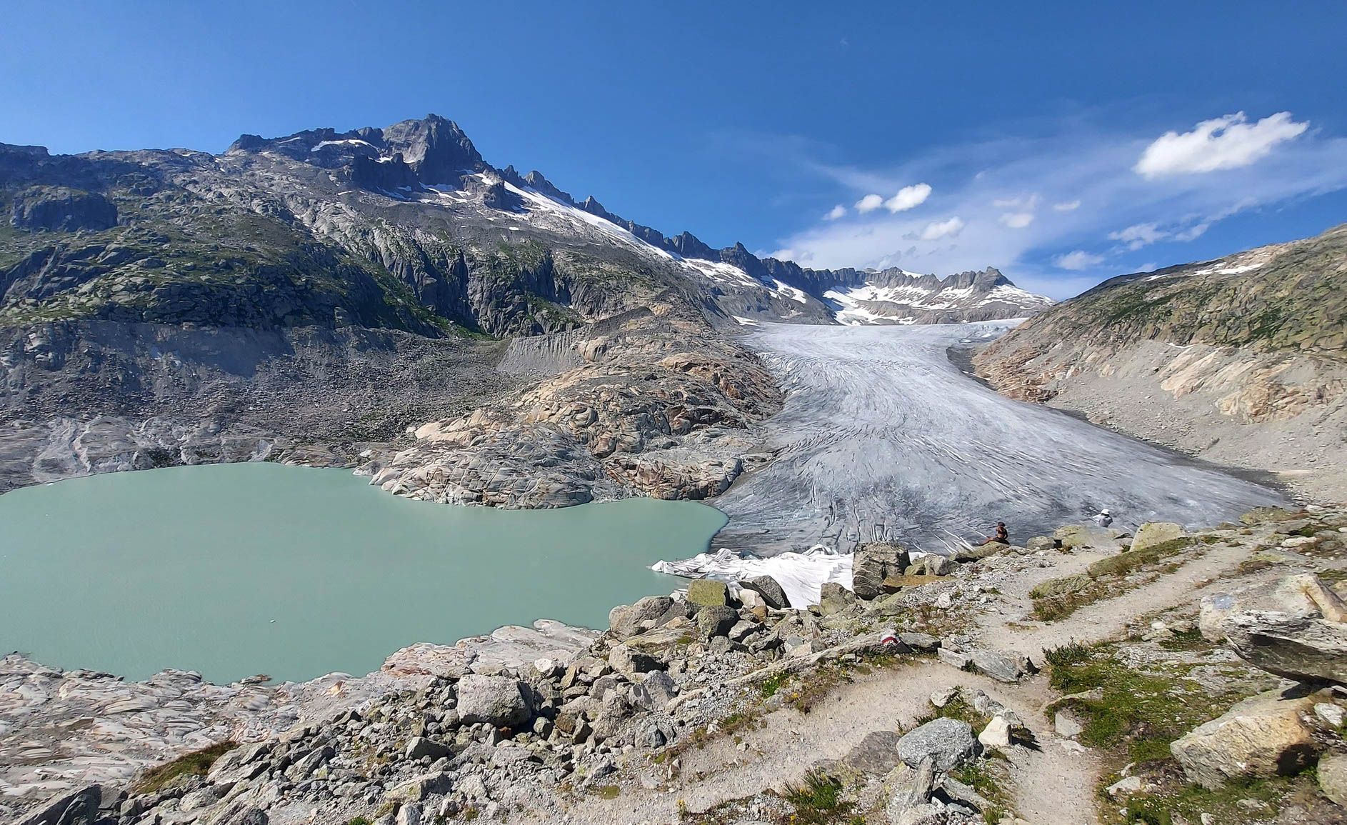
Switzerland's Furka High Trail – Two days of history and nature

Trans Swiss Trail – Hiking across Switzerland

Via Gottardo – Following historic trails
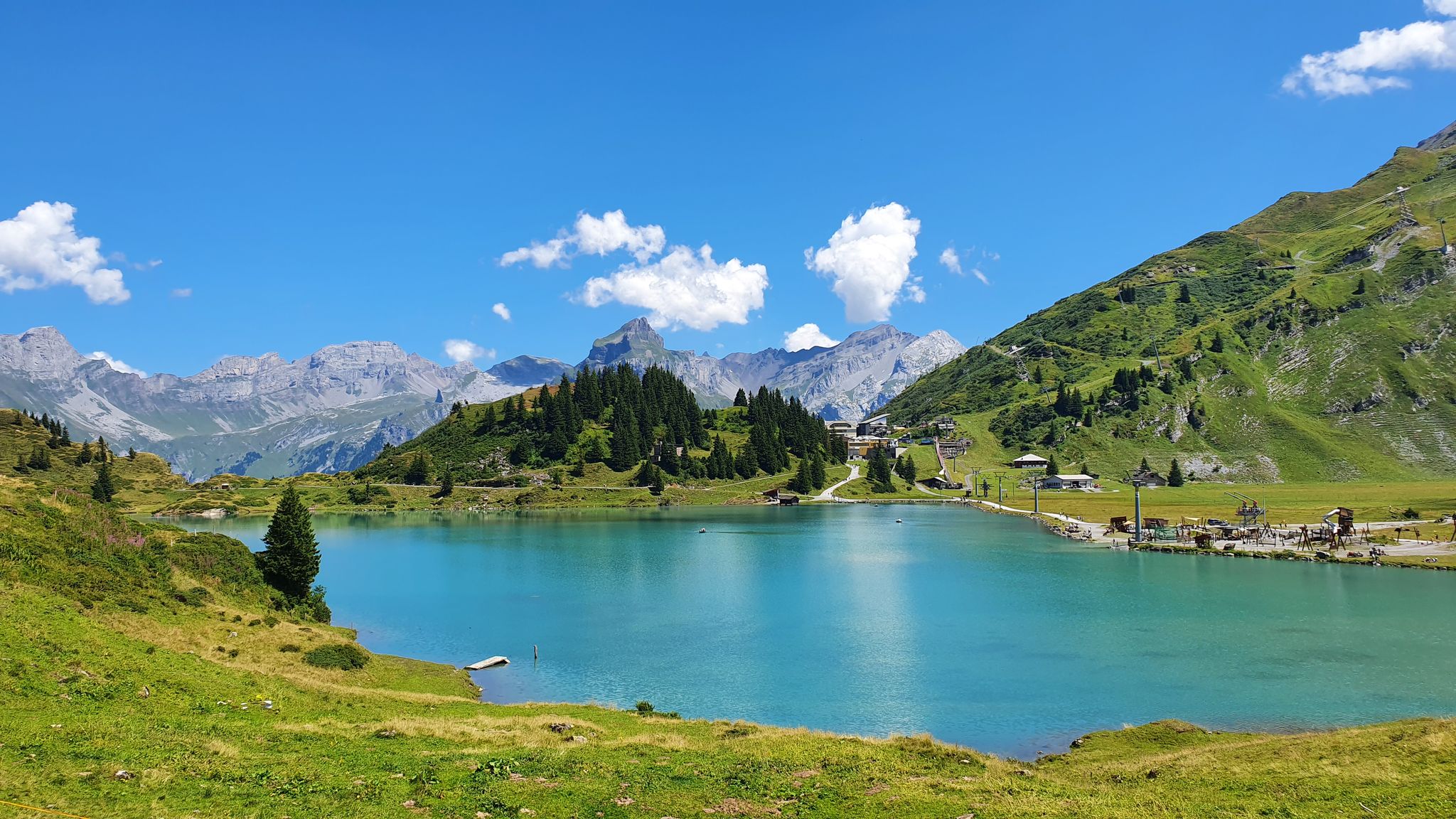
Via Alpina – The 15 stages of the Green Route
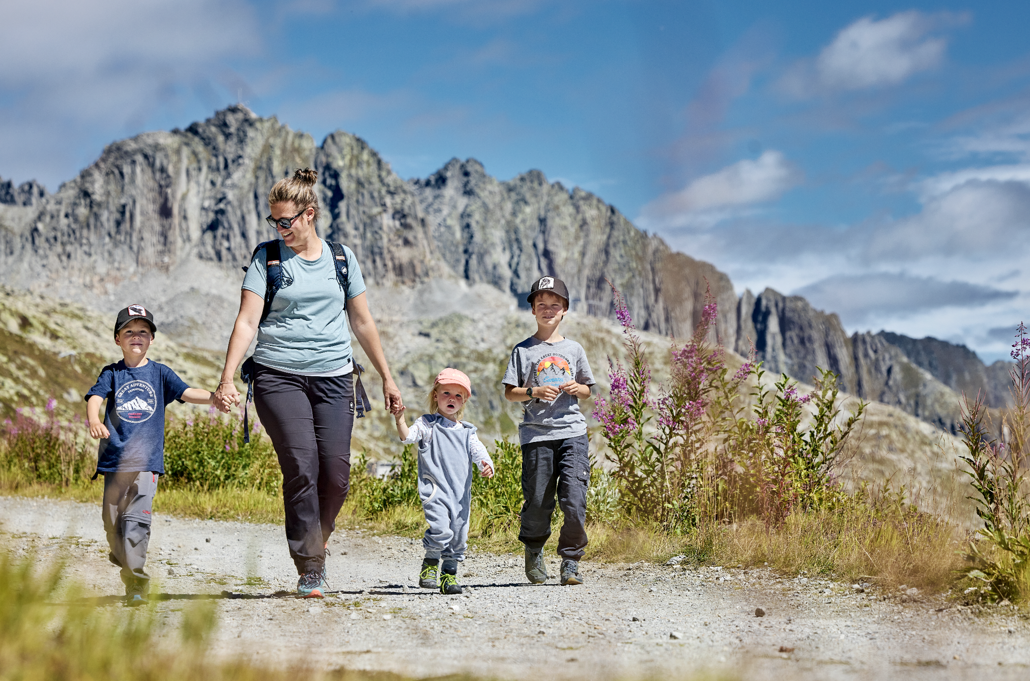
Mountain Playground – family adventures in Andermatt-Sedrun-Disentis
Other adventures in Uri


Tips from the Community

Heatwave in Switzerland, the lake is almost empty! https://youtu.be/pzwT2zepdXM
0
0
Heatwave in Switzerland, the lake almost empty! https://youtu.be/pzwT2zepdXM
0
0

Cozy dormitory with a few double rooms. Good alternative to the SAC hut.
0
0

Cozy guesthouse with friendly service
6
0


I can only repeat myself: Great hike!
0
0

Lake Seelisberg is approximately 800 meters long and 37 meters deep. There's a lovely beach (admission required) with a lakeside kiosk and campsite.
0
0

Great viewpoint of the Urnerboden and the mountains
0
0
Frequently Asked Questions
How many bus station hiking trails are available in Uri?
Uri offers a vast network of hiking trails accessible directly from bus stations, with over 300 routes available. These range from easy strolls to challenging high-alpine expeditions, ensuring there's something for every hiker.
What is the best time of year to hike from bus stations in Uri?
The best time for hiking in Uri is typically from late spring to early autumn (May to October). During early summer, the trails come alive with vibrant alpine flora. Higher alpine routes are best enjoyed from July to September when snow has melted. Always check local conditions, especially for high-altitude trails.
What kind of landscapes can I expect on bus-accessible hikes in Uri?
Hikes from bus stations in Uri offer incredibly diverse landscapes. You can expect dramatic alpine environments with towering peaks, deep valleys, and numerous crystal-clear mountain lakes like Seewlialp Lake, Göscheneralpsee, and Golzernsee. Many routes traverse the picturesque Reuss Valley or lead to the hydrological crossroads of the Gotthard massif.
Are there easy hiking trails accessible by bus in Uri?
Yes, Uri provides a good selection of easy hiking trails accessible by bus. Out of the 300 available routes, approximately 85 are classified as easy, making them suitable for casual walkers or those looking for a relaxed outing. These often follow valley paths or lead to scenic viewpoints with minimal elevation gain.
Are there bus-accessible circular hiking routes in Uri?
Absolutely! Many of the trails accessible by bus in Uri are circular, allowing you to start and end at the same bus stop. For example, the View of Lake Lucerne – View of Lake Uri (Urnersee) loop from Seelisberg offers stunning lake views, while the Lake Göscheneralp – Circular Hike around Göscheneralpsee loop from Göscheneralpsee provides a beautiful alpine lake experience.
Are the bus station hiking trails in Uri suitable for families?
Many bus-accessible trails in Uri are family-friendly, offering varied terrain and manageable distances. Look for routes classified as 'easy' or 'moderate' that feature attractions like mountain lakes or picnic spots. The region's extensive network of small cable cars can also provide an exciting start to a family hike, saving elevation gain and offering panoramic views.
Can I bring my dog on bus-accessible hikes in Uri?
Generally, dogs are welcome on hiking trails in Uri. However, always keep your dog on a leash, especially in nature reserves, near livestock, or in areas with wildlife. Be mindful of local regulations for public transport regarding dogs, as some buses may require dogs to be muzzled or require a special ticket. Always carry water for your dog.
Are there any hikes from bus stations that feature waterfalls or mountain lakes?
Yes, Uri is rich in water features. Many bus-accessible hikes lead to stunning mountain lakes such as Seewlialp Lake, Göscheneralpsee, and Golzernsee. You can also find routes that pass dramatic waterfalls. The Klausen Pass summit – View of Gletscherseeli loop from Klausenpass is one example that offers views of a glacial lake.
What interesting landmarks or natural attractions can I see along bus-accessible routes in Uri?
Along bus-accessible routes in Uri, you can discover a wealth of natural and historical attractions. Highlights include the dramatic Schöllen Gorge and the historic Devil's Bridge (Teufelsbrücke). You might also encounter serene lakes like Lake Oberalp or Arnisee (Lake Arni), or even pass by mountain huts like the Salbithütte.
Where can I find information about public transport schedules for these bus-accessible trails?
For up-to-date public transport schedules, including bus times, it's best to consult the official Swiss public transport website (SBB) or local transport providers. Many bus stops in Uri are well-connected, making it convenient to plan your hike directly from a bus station.
What do other hikers enjoy most about the bus station trails in Uri?
The bus station trails in Uri are highly rated by the komoot community, with an average score of 4.67 out of 5 stars from over 4,500 ratings. Hikers frequently praise the stunning alpine scenery, the accessibility of diverse routes via public transport, and the well-maintained trails that lead to breathtaking mountain lakes and panoramic viewpoints.
What should I know about winter hiking from bus stations in Uri?
Winter hiking from bus stations in Uri offers a unique experience, but requires careful planning. While some lower-altitude paths may be cleared, many alpine trails will be covered in snow and ice, requiring appropriate gear like snowshoes or microspikes. Always check local conditions, avalanche warnings, and trail closures before heading out. Some bus services to higher elevations may also be reduced or suspended during winter.
Most popular routes in Uri
Most popular attractions in Uri

Get inspired with the komoot mobile app


Didn’t find what you were looking for?
Check out more Hikes throughout Uri below and find the perfect route in your destination.
