The best hikes from bus stations in Schaffhausen
4.5
(16678)
80,407
hikers
289
hikes
Bus station hiking trails in Schaffhausen offer access to a diverse landscape characterized by the Rhine River, rolling Randen Hills, dense forests, and expansive vineyards. The region provides varied terrain, from riverside paths to elevated viewpoints. Hikers can explore a network of routes that traverse these distinct natural features.
Best bus station hiking trails in Schaffhausen
- The most popular bus station hiking route is Nordspitze Panoramaweg – SchweizMobil 593, a 9.4 miles (15.2 km) trail that takes 4 hours…
Last updated: May 14, 2026
4.7
(27)
130
hikers
15.2km
04:22
370m
370m
Moderate hike. Good fitness required. Easily-accessible paths. Suitable for all skill levels.
4.5
(14)
105
hikers
18.9km
05:25
440m
440m
Hard hike. Very good fitness required. Easily-accessible paths. Suitable for all skill levels.

Sign up for free
4.3
(9)
60
hikers
14.2km
03:55
180m
330m
Moderate hike. Good fitness required. Easily-accessible paths. Suitable for all skill levels.
4.5
(14)
62
hikers
10.4km
02:56
210m
210m
Moderate hike. Good fitness required. Mostly accessible paths. Sure-footedness required.
3.0
(1)
14
hikers
16.7km
05:04
550m
490m
Hard hike. Very good fitness required. Mostly accessible paths. Sure-footedness required.
Get access to more routes and recommendations from other explorers.
Sign up for free
Already have an account?
Our route recommendations are based on thousands of hikes, rides, and runs completed by other people on komoot.
Start today with a free account
Your next adventure awaits.
Login or Signup
Popular around Schaffhausen

Hikes from bus stations around Regionaler Naturpark Schaffhausen
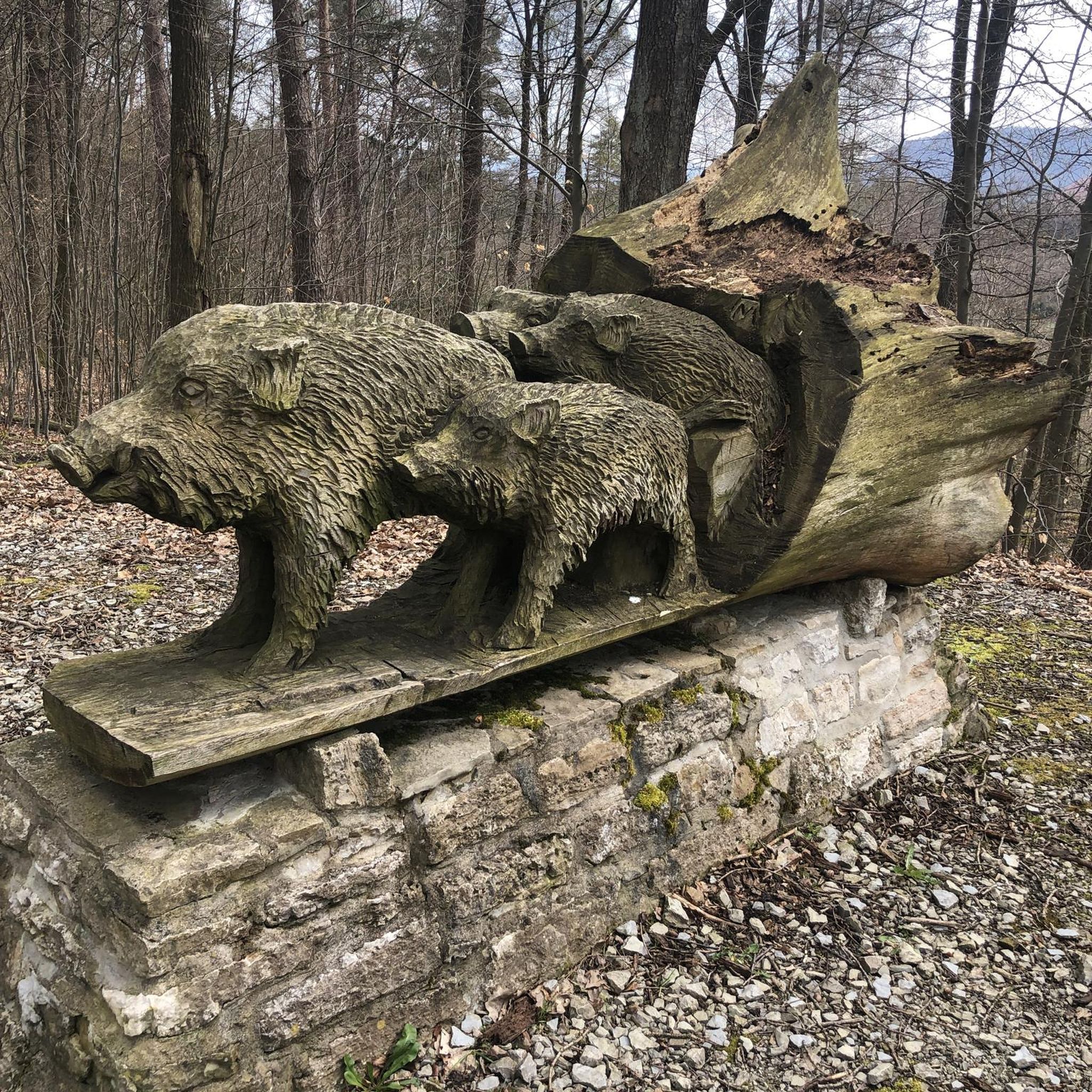
Hikes from bus stations around Schleitheim

Hikes from bus stations in Oberklettgau

Hikes from bus stations in Unterklettgau
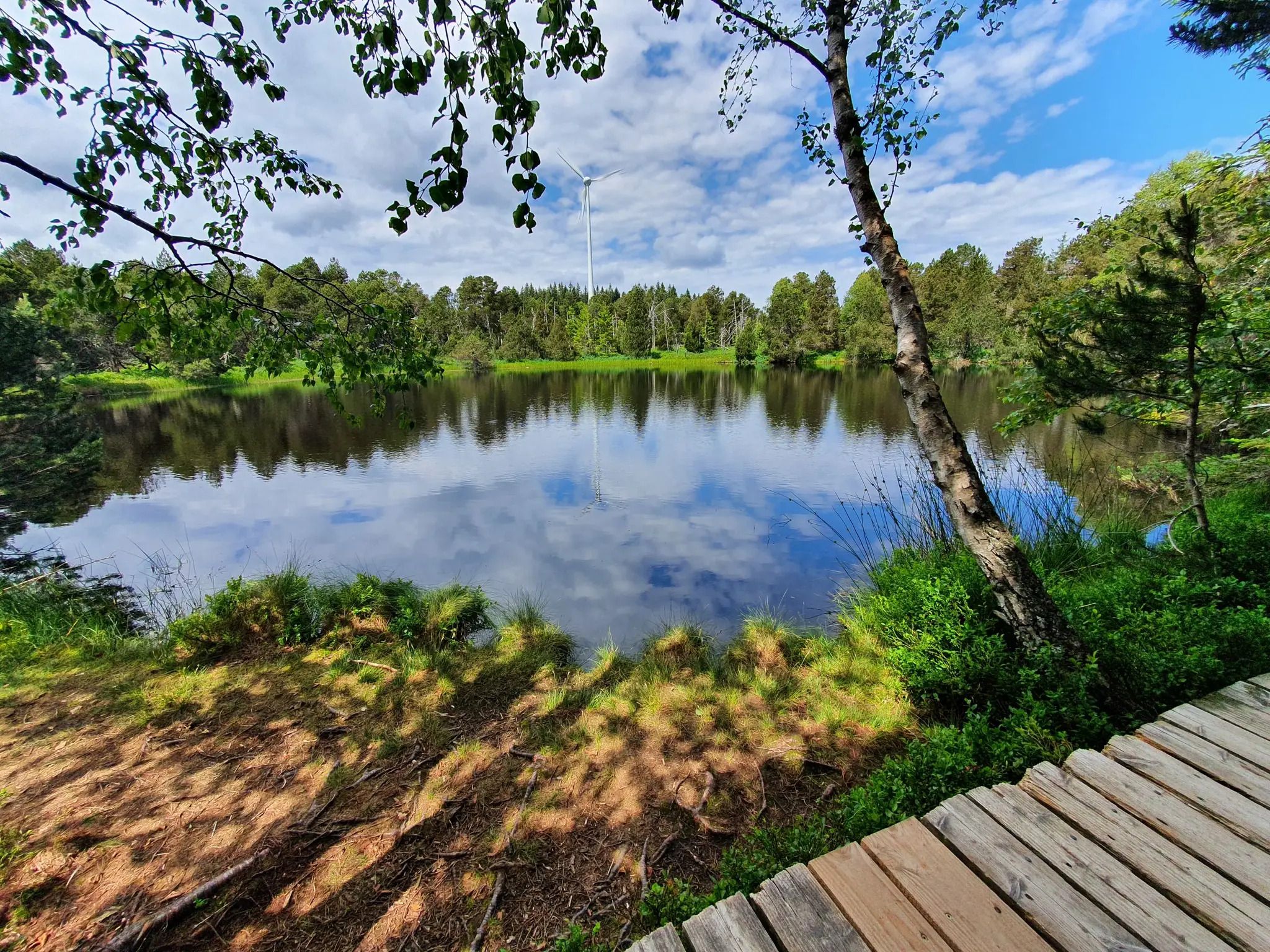
Hike the WasserWeltenSteig – Waterfalls, lakes and rivers of the Black Forest
Woodland, water and far-reaching views – start of season hiking hits
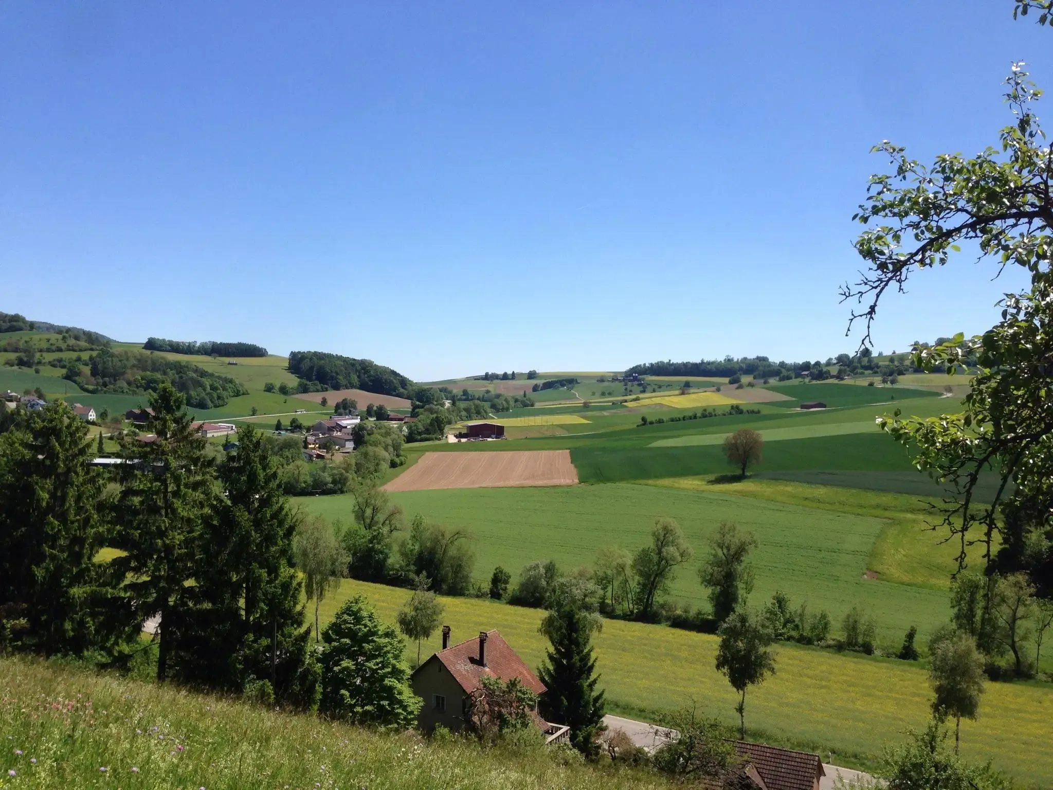
Klettgau-Rhein-Weg – hiking at the feet of the Alps
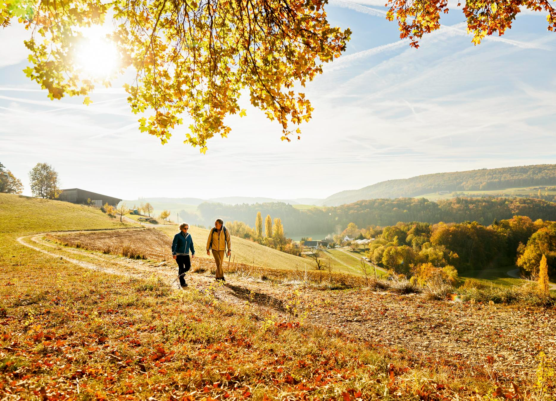
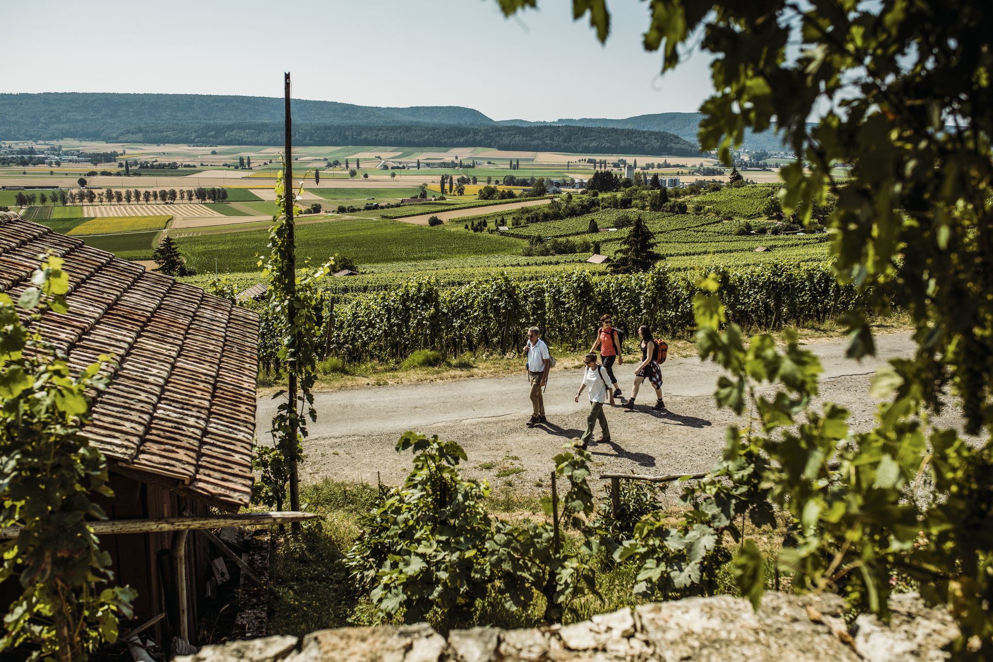
Rhine, hills and vines – autumn hiking tips in Schaffhauserland
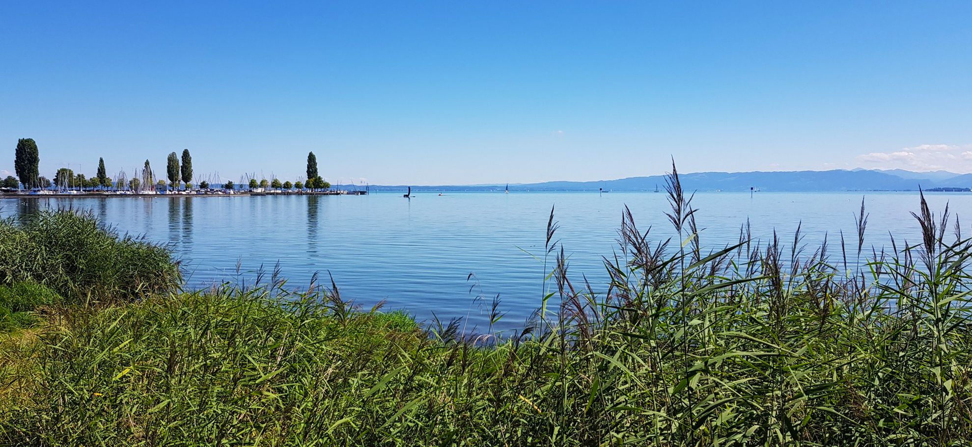
Picturesque landscapes in three countries – Lake Constance circular route

Every cycling trip is a little holiday – bike to work Challenge 2026
Other adventures in Schaffhausen


Tips from the Community

A beautiful picnic area with a sensational view; there is even a supply of wood for grilling.
0
0

The Black Stone marks the northernmost point of Switzerland. This unassuming border marker has a turbulent history: Convicted prisoners were once taken across the border into Baden from here. Today, the spot is a scenic rest area with a barbecue and information panel.
1
0
Two artfully crafted wooden benches along the path offer beautiful views of the surrounding greenery. Nestled between forest and meadows, you'll find a special spot for a break – peaceful and ideal for letting your gaze wander.
0
0
During the flowering season in May and June, the Tannbüel area is particularly rich in biodiversity: Along two marked woodchip paths, you can discover various orchid species, including the lady's slipper orchid. Information on the current flowering status can be found here: https://www.stadt-schaffhausen.ch/aktuellesinformationen
0
0
Take your time here to consciously perceive the landscape. In spring, the Seldenhalde transforms into a sea of white blossoms – countless snowdrops line the slopes and create a particularly atmospheric accent along the path.
0
0
Here you'll find Switzerland's only accessible gypsum mine. On select days, you can immerse yourself in the world of historical gypsum mining. A small train takes you into the tunnel, where you'll learn more about the work of the miners in the 18th and 19th centuries. Information about public tours can be found on the Schaffhauserland Tourism website: https://schaffhauserland.ch/buchen/angebote-erlebnisse/oeffentliche-fuehrungen.html#/
0
1
Nice barbecue area with a supply of firewood.
0
0

Frequently Asked Questions
How many hiking trails accessible by bus are there in Schaffhausen?
Schaffhausen offers nearly 300 hiking routes that are easily accessible from bus stations. These trails cater to various fitness levels, with over 150 easy routes, 130 moderate, and a handful of more challenging options for experienced hikers.
Are there any family-friendly hiking trails accessible by bus in Schaffhausen?
Yes, Schaffhausen has many family-friendly options. The region's diverse landscapes, including the Rhine River and gentle hills, offer numerous easy walks. Look for routes that are shorter in distance and have minimal elevation gain, often found along the Rhine or through the vineyards. Many of the 153 easy routes available are suitable for families.
Can I bring my dog on bus-accessible hiking trails in Schaffhausen?
Most hiking trails in Schaffhausen are dog-friendly, allowing you to enjoy the natural beauty with your canine companion. However, always keep your dog on a leash, especially in nature reserves, agricultural areas, and near livestock. Be mindful of local regulations and ensure your dog is comfortable with public transport if you plan to use buses to reach the trailhead.
What kind of natural attractions can I see along bus station hiking trails in Schaffhausen?
You'll encounter a rich variety of natural attractions. The majestic Rhine Falls, Europe's largest waterfall, is a must-see. Many trails also lead through the rolling Randen Hills, dense forests, and the picturesque vineyards of the Schaffhauser Blauburgunderland. You can also explore unique geological features like the Felsentäli Gorge or the Devil's Kitchen Gorge.
Are there any circular hiking routes from bus stations in Schaffhausen?
Yes, many bus-accessible routes in Schaffhausen are circular, allowing you to start and end your hike at the same bus stop without needing to arrange return transport. An example is the Rundwanderung bei Schleitheim über die Seldenhalde, which offers a moderate 10.4 km loop.
Which bus-accessible trails offer the best views in Schaffhausen?
For stunning vistas, consider trails that ascend into the Randen Hills or traverse the vineyards. The Blauburgunderland Panorama Trail offers Mediterranean-like views across the vineyards. For expansive regional views, routes leading towards the Hagenturm Observation Tower or the Siblinger Randen Tower are excellent choices.
What is the difficulty level of bus-accessible hikes in Schaffhausen?
The difficulty varies significantly. You'll find a wide range from easy strolls along the Rhine (153 easy routes) to more challenging treks through the Randen Hills (11 difficult routes). For instance, the Reiatweg is considered difficult, while the Nordspitze Panoramaweg is moderate.
Are there any historical landmarks or cultural sites along bus-accessible hiking routes?
Many trails in Schaffhausen integrate historical and cultural attractions. You can discover charming villages with half-timbered houses, and some routes pass by historic sites like the medieval Schloss Laufen near the Rhine Falls, or the Town Hall of Stein am Rhein.
What do other hikers enjoy most about bus station hikes in Schaffhausen?
The komoot community highly rates the hiking experience in Schaffhausen, with an average score of 4.5 stars from over 16,000 ratings. Reviewers often praise the region's diverse scenery, from the impressive Rhine Falls to the peaceful vineyards and forests, as well as the convenience of accessing trails directly from public transport.
Are there any long-distance bus-accessible trails for multi-day hikes in Schaffhausen?
While this guide focuses on day hikes, some longer trails like the Klettgau-Rhein-Weg (46 km) or the Randentour (48 km, also suitable for cycling) can be broken down into sections accessible by bus, allowing for multi-day exploration of the region's varied landscapes, including forests, pastures, and vineyards.
Which bus-accessible trail is best for experiencing the vineyards of Schaffhausen?
To immerse yourself in the region's viticulture, the Blauburgunderland Panorama Trail is an excellent choice. This moderate 14.2 km route winds through the famous Pinot Noir vineyards, offering scenic views and opportunities to experience the local wine culture.
Most popular routes in Schaffhausen
Most popular attractions in Schaffhausen

Get inspired with the komoot mobile app


Didn’t find what you were looking for?
Check out more Hikes throughout Schaffhausen below and find the perfect route in your destination.
Explore more
Browse the best Hikes in other regions.
