The best hikes from bus stations in Glarus
4.6
(5178)
36,031
hikers
231
hikes
Bus station hiking trails in Glarus traverse a diverse landscape of deep valleys, towering peaks, and pristine mountain lakes within the Swiss Alps. The region is characterized by significant elevation changes, from valley floors to over 3,600 meters, and features the UNESCO World Heritage Tectonic Arena Sardona with its unique geological formations. Hikers encounter a variety of ecosystems, including dense forests, alpine pastures, and rugged ridgelines, alongside picturesque bodies of water like Oberblegisee and Klöntalersee.
Best bus station hiking trails…
Last updated: September 3, 2026
4.7
(384)
2,082
hikers
12.6km
03:36
270m
270m
Moderate hike. Good fitness required. Mostly accessible paths. Sure-footedness required.
5.0
(12)
71
hikers
11.4km
03:29
400m
400m
Moderate hike. Good fitness required. Easily-accessible paths. Suitable for all skill levels.

Sign up for free
4.6
(77)
454
hikers
12.0km
04:09
630m
630m
Moderate hike. Good fitness required. Mostly accessible paths. Sure-footedness required.
4.7
(80)
652
hikers
15.1km
06:52
1,210m
1,210m
Hard hike. Very good fitness required. Sure-footedness, sturdy shoes and alpine experience required.
4.4
(48)
181
hikers
11.1km
04:02
660m
660m
Moderate hike. Good fitness required. Easily-accessible paths. Suitable for all skill levels.
Get access to more routes and recommendations from other explorers.
Sign up for free
Already have an account?
Our route recommendations are based on thousands of hikes, rides, and runs completed by other people on komoot.
Start today with a free account
Your next adventure awaits.
Login or Signup
Popular around Glarus
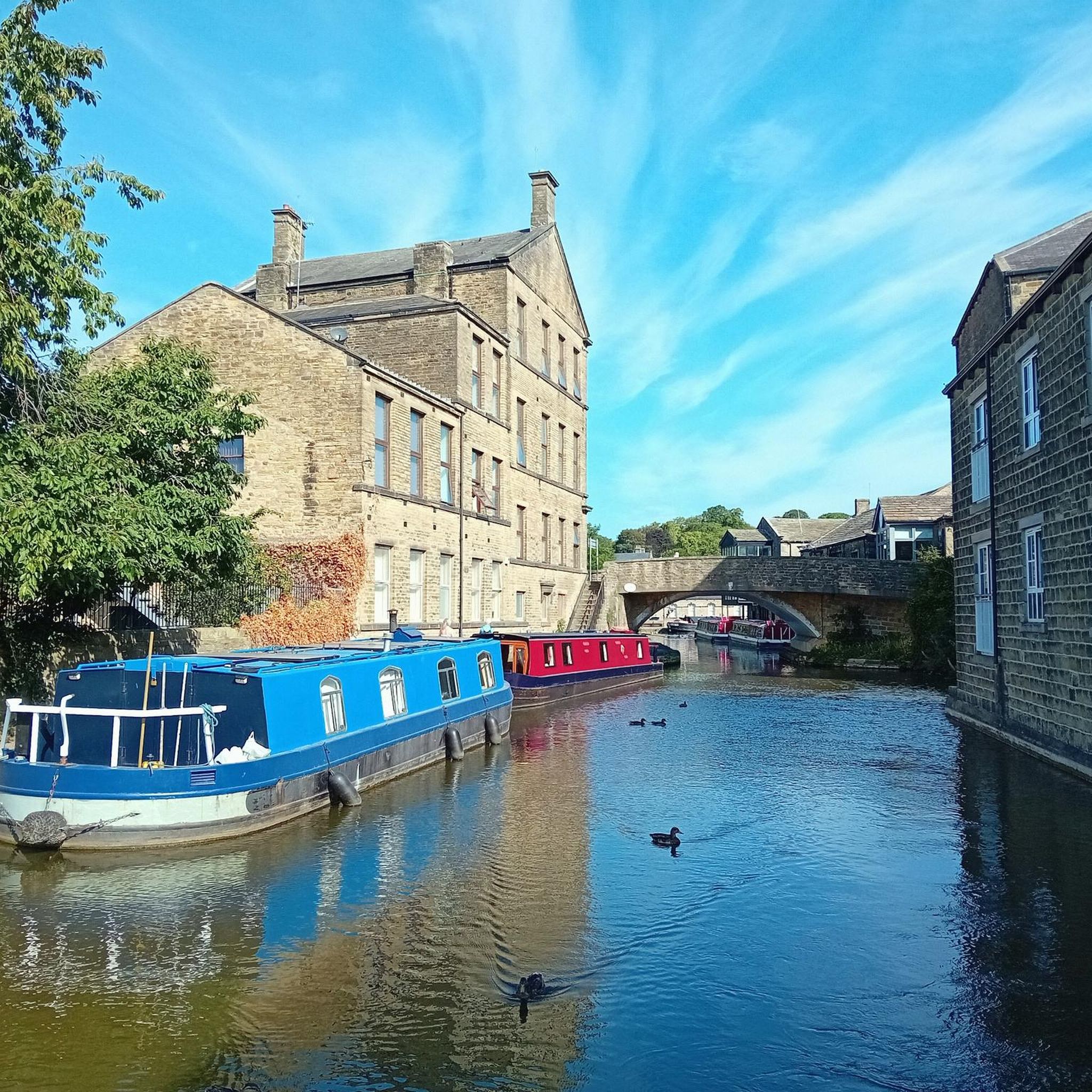
Hikes from bus stations around Limmerensee
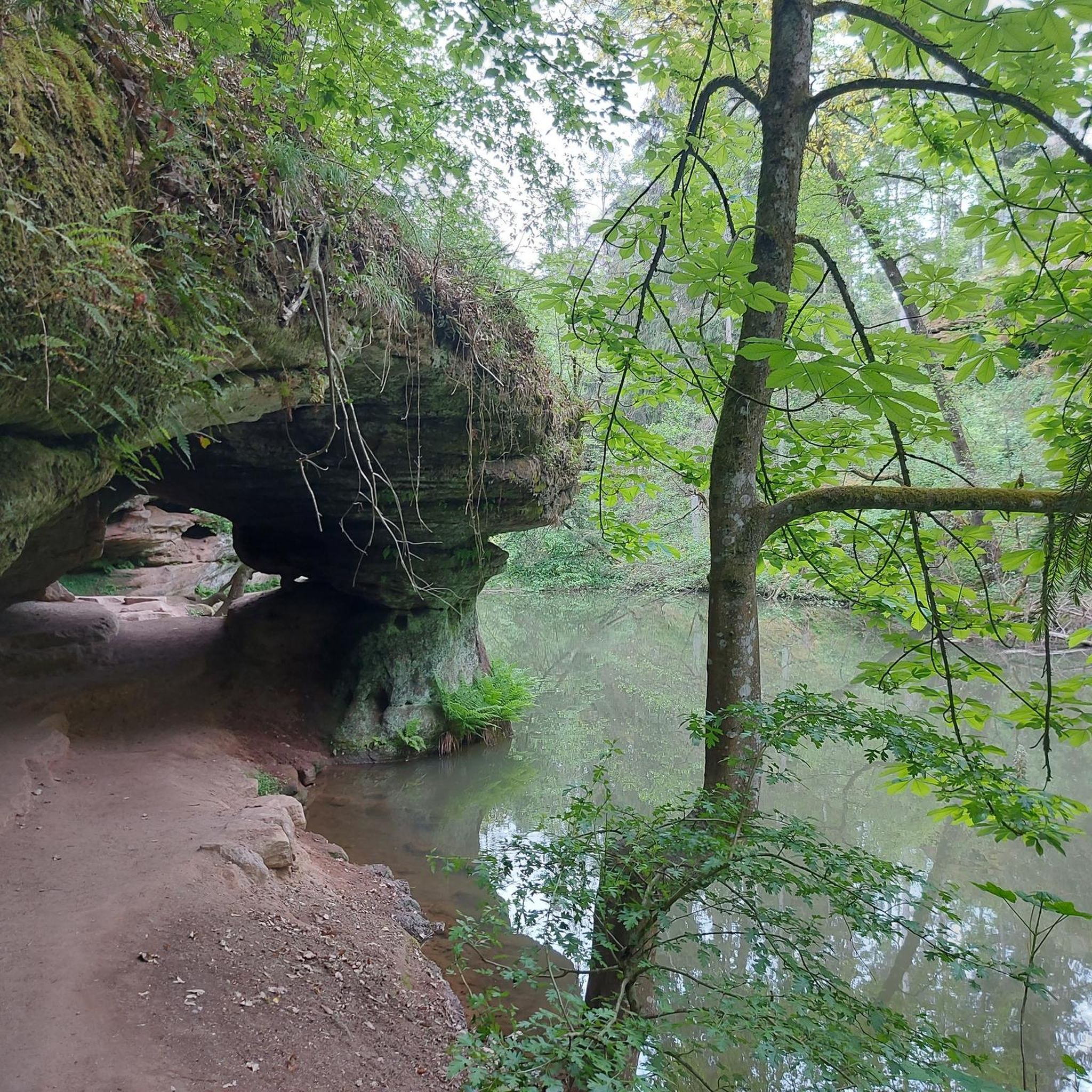
Hikes from bus stations around Klöntalersee
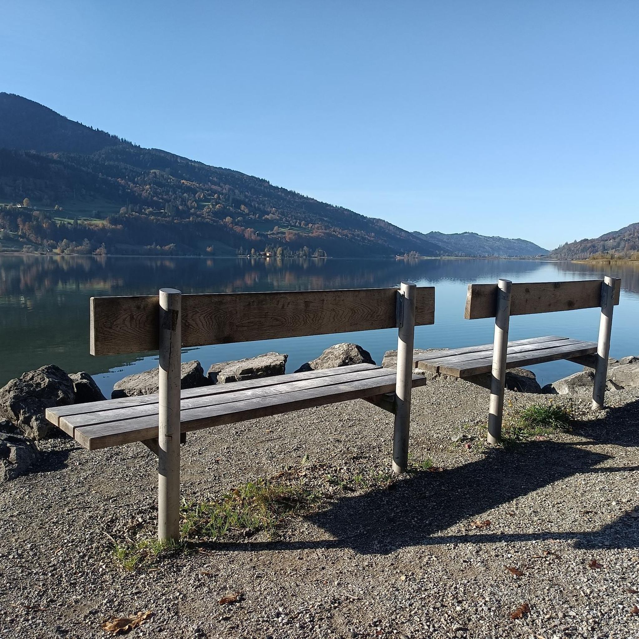
Hikes from bus stations around Oberblegisee

Hikes from bus stations around Obersee
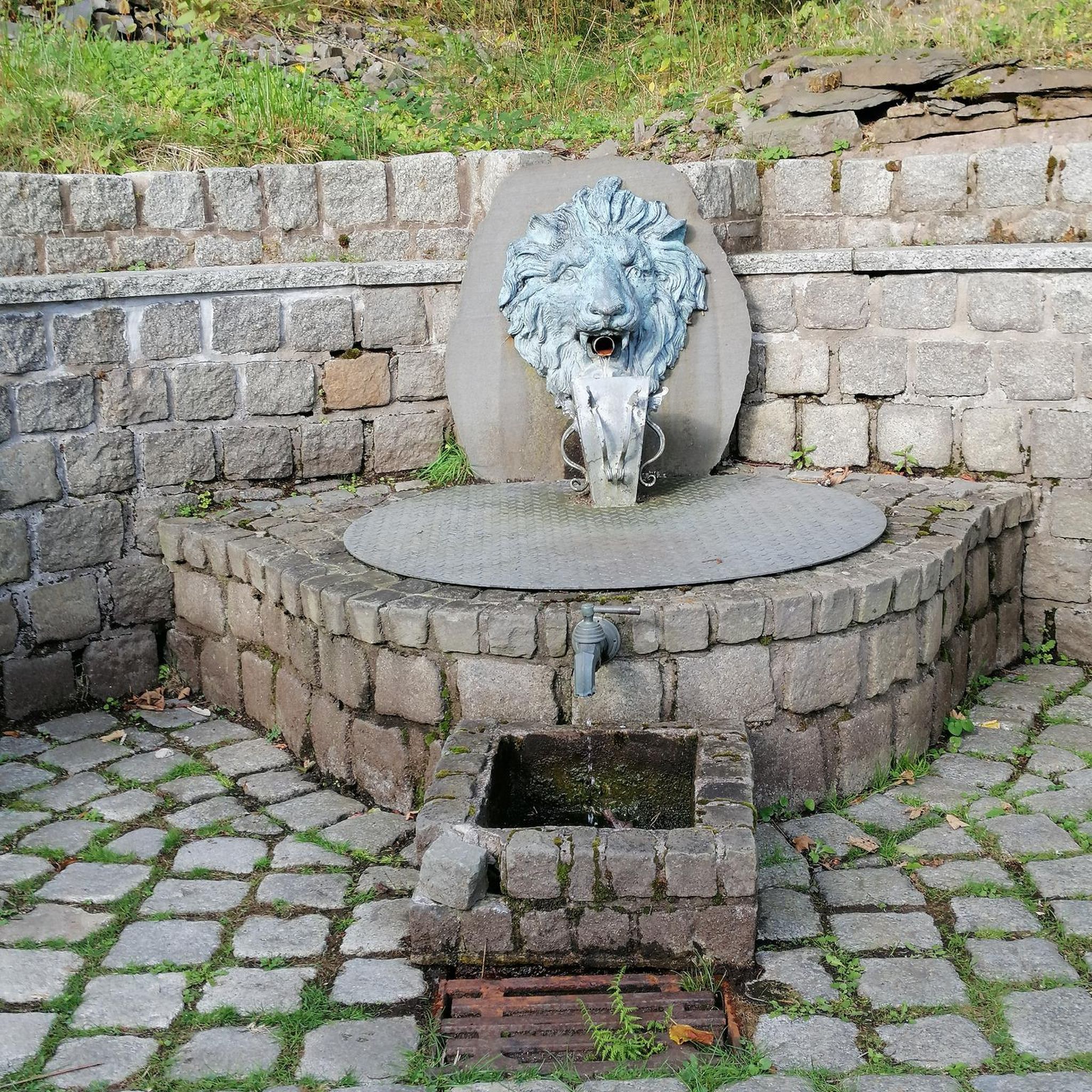
Hikes from bus stations around Stausee Garichti
Hikes from bus stations around Muttsee

Sardona World Heritage Trail – Where the Alps once formed
Via Alpina – The 15 stages of the Green Route
Hiking in the Swiss Tectonic Arena Sardona – Segnes Trek

The most beautiful waterfalls of the Alps
Other adventures in Glarus


Tips from the Community

Another great place for a snack and to recover after the long e-bike ride, before tackling the descent or another climb.
0
0

Open Tuesdays to Sundays in good weather from 10 am to 6 pm. Cash only. The restaurant is without power, nothing to charge ;-)
0
0


There are a lot of great sculptures and the path is steep in places
0
0

This modern and cozy self-service restaurant is the starting point of the RIESENWALD trail. It is located right next to the top station of the Elm-Ämpächli gondola. There's something for every budget in the food and beverage offerings. Source: Bergrestaurant Ämpächli https://share.google/UIJWHPS8gTmlBGOYu
1
0

Lovingly decorated outdoor seating, very friendly hostess. Coffee and cake were delicious.
0
0

Beautiful view and trail in very good condition
1
0
Frequently Asked Questions
How many bus station hiking trails are available in Glarus?
Glarus offers a wide selection of hiking trails accessible directly from bus stations, with over 230 routes to explore. These range from easy strolls to challenging alpine treks, ensuring there's something for every hiker.
Are there any easy or family-friendly bus station hikes in Glarus?
Yes, Glarus has many easy and family-friendly options. The region is known for its picturesque mountain lakes, such as the Oberblegisee, which offers a beautiful circular path ideal for families. Another great option is the Circular lake hike in Klöntal, which is a moderate route but generally well-suited for a family outing.
Can I find circular hiking routes accessible by bus in Glarus?
Absolutely. Many trails in Glarus are designed as circular routes, making them convenient for public transport users. Popular options include the Circular lake hike in Klöntal and the Talalpsee – Talalp Lake loop from Filzbach. These allow you to start and end at the same bus stop without needing to retrace your steps.
Are there bus station hikes that feature waterfalls in Glarus?
Yes, Glarus is home to impressive waterfalls. You can experience the stunning Berglistüber Waterfall near Linthal, where it's even possible to walk behind the cascading water. For a hike that includes a waterfall, consider the View of Seerenbach Falls – Talalpsee loop from Filzbach, which also offers beautiful lake views.
What kind of natural attractions can I see along bus station hiking trails in Glarus?
Glarus offers diverse natural beauty. Many trails lead through the UNESCO World Heritage Tectonic Arena Sardona, showcasing unique geological formations like the Martinsloch. You'll also encounter stunning mountain lakes such as Klöntalersee and Oberblegisee, and majestic peaks of the Glarus Alps. The High trail Elm - from Obererbs to Ämpächli provides excellent views of the alpine landscape.
Are there any historical landmarks or points of interest near bus-accessible hiking routes?
Yes, Glarus has several historical points of interest. You can explore sites like the Freuler Palace, a significant historical building, or discover the Ruins of Sola Castle on Schlossbüchel. The region also features unique monuments like the Glarus–Uri Boundary Stone, which can be found along certain routes.
What do other hikers enjoy most about hiking in Glarus?
The komoot community highly rates hiking in Glarus, with an average score of 4.7 stars from over 4,200 ratings. Hikers frequently praise the region's diverse and dramatic landscapes, the well-maintained trails, and the stunning views of the Glarus Alps and picturesque lakes like Klöntalersee.
Are there any challenging bus station hikes for experienced hikers in Glarus?
For experienced hikers seeking a challenge, Glarus offers several difficult routes accessible by bus. An example is the demanding View of Lake Walen (Walensee) – View from Hirzli loop from Niederurnen, which features significant elevation gain and panoramic views of Lake Walen.
What is the best time of year to go hiking from bus stations in Glarus?
The best time for hiking in Glarus is typically from late spring to early autumn (May to October). During these months, the weather is generally favorable, alpine pastures are green, and most trails are free of snow. Always check local weather and trail conditions before heading out, especially for higher altitude routes.
Are there any high-altitude trails accessible by bus in Glarus?
Yes, Glarus offers high-altitude trails that can be reached using public transport. The High trail Elm - from Obererbs to Ämpächli is a great example, providing an elevated perspective of the Glarus landscape and the opportunity to experience the alpine environment.
Most popular routes in Glarus
Most popular attractions in Glarus

Get inspired with the komoot mobile app


Didn’t find what you were looking for?
Check out more Hikes throughout Glarus below and find the perfect route in your destination.
Explore more
Browse the best Hikes in other regions.
