The best hikes from bus stations at the Baltic Sea
4.6
(88052)
434,043
hikers
10,051
hikes
Bus station hiking trails at the Baltic Sea offer access to a diverse landscape characterized by extensive coastlines, ranging from sandy beaches to dramatic steep cliffs and rocky archipelagos. The region features significant coastal forests, predominantly coniferous with scattered beech and birch trees, providing shaded paths. Glacial moraines and unique dune formations are also present in certain areas, contributing to varied terrain. These features create a network of trails suitable for different hiking preferences and abilities.
Best bus station hiking trails at the Baltic Sea
- The most popular bus station hiking route is Maasholm: fishing village with a view - hiking on the Baltic Sea fjord Schlei, a 5.6 miles (9.0 km) trail that takes 2 hours 16 minutes to complete. This route offers views of the Baltic Sea fjord Schlei and passes through a fishing village.
- Another top favourite among local hikers is Hike to the KÖNIGSSTUHL National Park Centre, an easy 2.0 miles (3.2 km) path. This trail leads to the iconic Königsstuhl chalk cliffs, a prominent feature of Jasmund National Park.
- Local hikers also love the Darßer Ort circular hiking trail - Fischland-Darß-Zingst, a 4.0 miles (6.5 km) trail leading through coastal forests and dunes, often completed in about 1 hour 38 minutes.
- Hiking at the Baltic Sea is defined by diverse coastlines, chalk cliffs, and extensive coastal forests. The network offers options for different ability levels, including many easy bus accessible hikes.
- The routes in Baltic Sea are highly rated by the komoot community with an average score of 4.6 stars from more than 92,000 reviews. More than 480,000 hikers have used komoot to explore Baltic Sea's varied terrain.
Last updated: June 26, 2026
4.6
(350)
3,281
hikers
3.22km
00:51
20m
40m
Easy hike. Great for any fitness level. Easily-accessible paths. Suitable for all skill levels.
4.9
(371)
1,817
hikers
6.48km
01:38
10m
10m
Easy hike. Great for any fitness level. Easily-accessible paths. Suitable for all skill levels.

Sign up for free
4.8
(681)
2,070
hikers
Moderate hike. Good fitness required. Easily-accessible paths. Suitable for all skill levels.
4.8
(402)
1,353
hikers
11.9km
03:18
220m
200m
Moderate hike. Good fitness required. Easily-accessible paths. Suitable for all skill levels.
4.6
(233)
827
hikers
8.33km
02:10
60m
60m
Moderate hike. Good fitness required. Easily-accessible paths. Suitable for all skill levels.
Get access to more routes and recommendations from other explorers.
Sign up for free
Already have an account?
Our route recommendations are based on thousands of hikes, rides, and runs completed by other people on komoot.
Start today with a free account
Your next adventure awaits.
Login or Signup
Popular around Baltic Sea
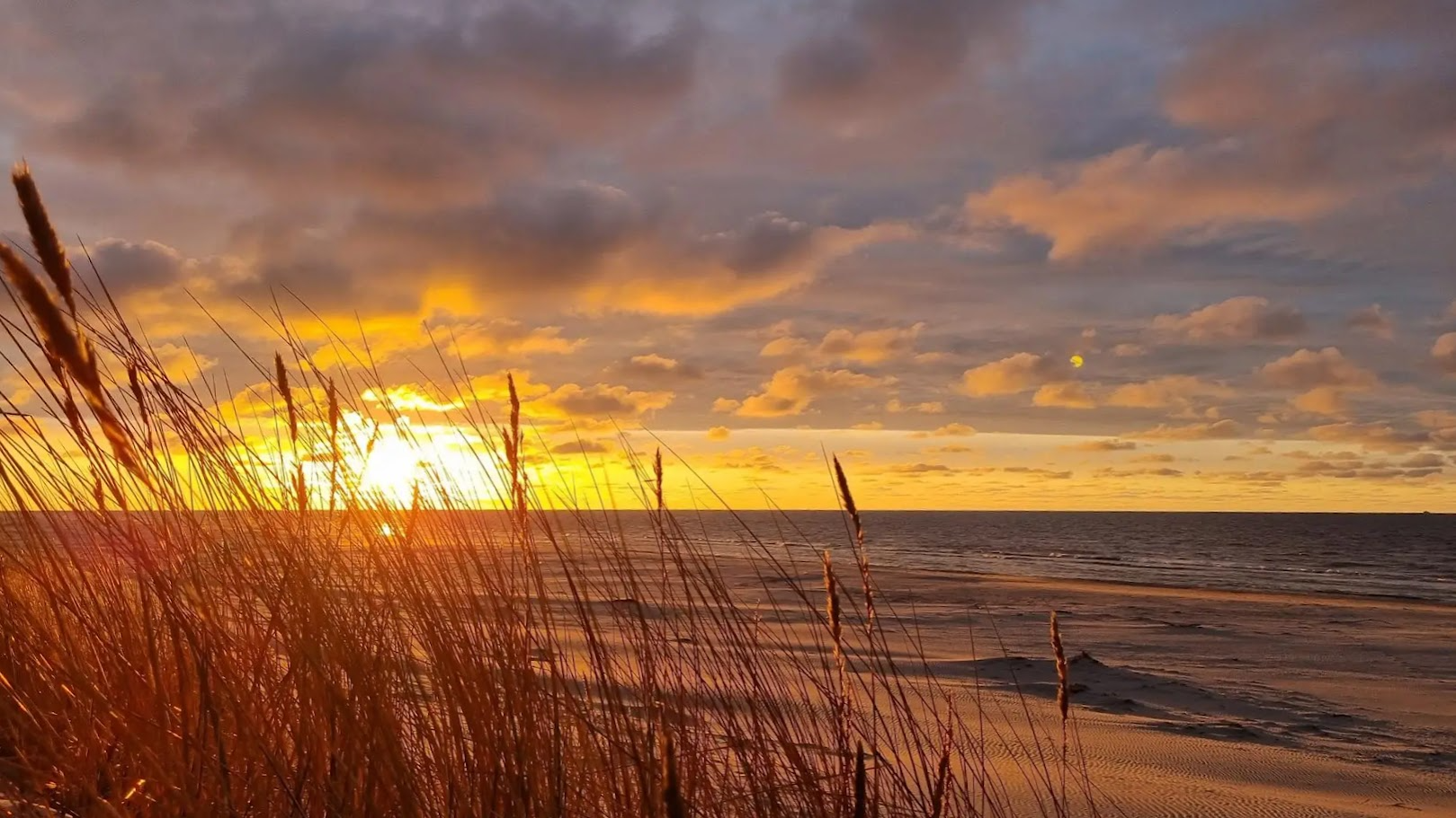
Seaside Trail – the beauty and majesty of the Baltic beaches
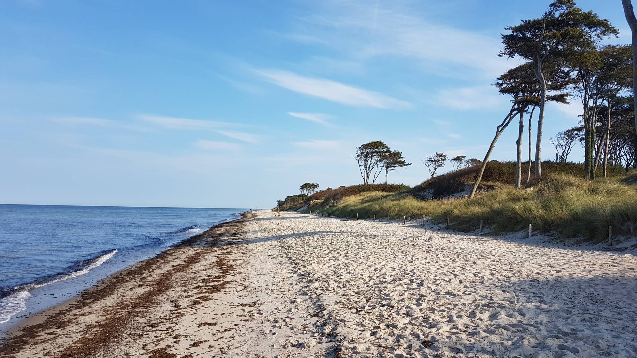
The E9 along the Baltic Sea — Explore an epic coastline
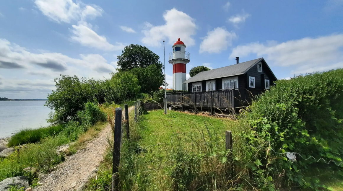
A Historic Journey on the Southern Jutland Coastline — The Gendarme Path
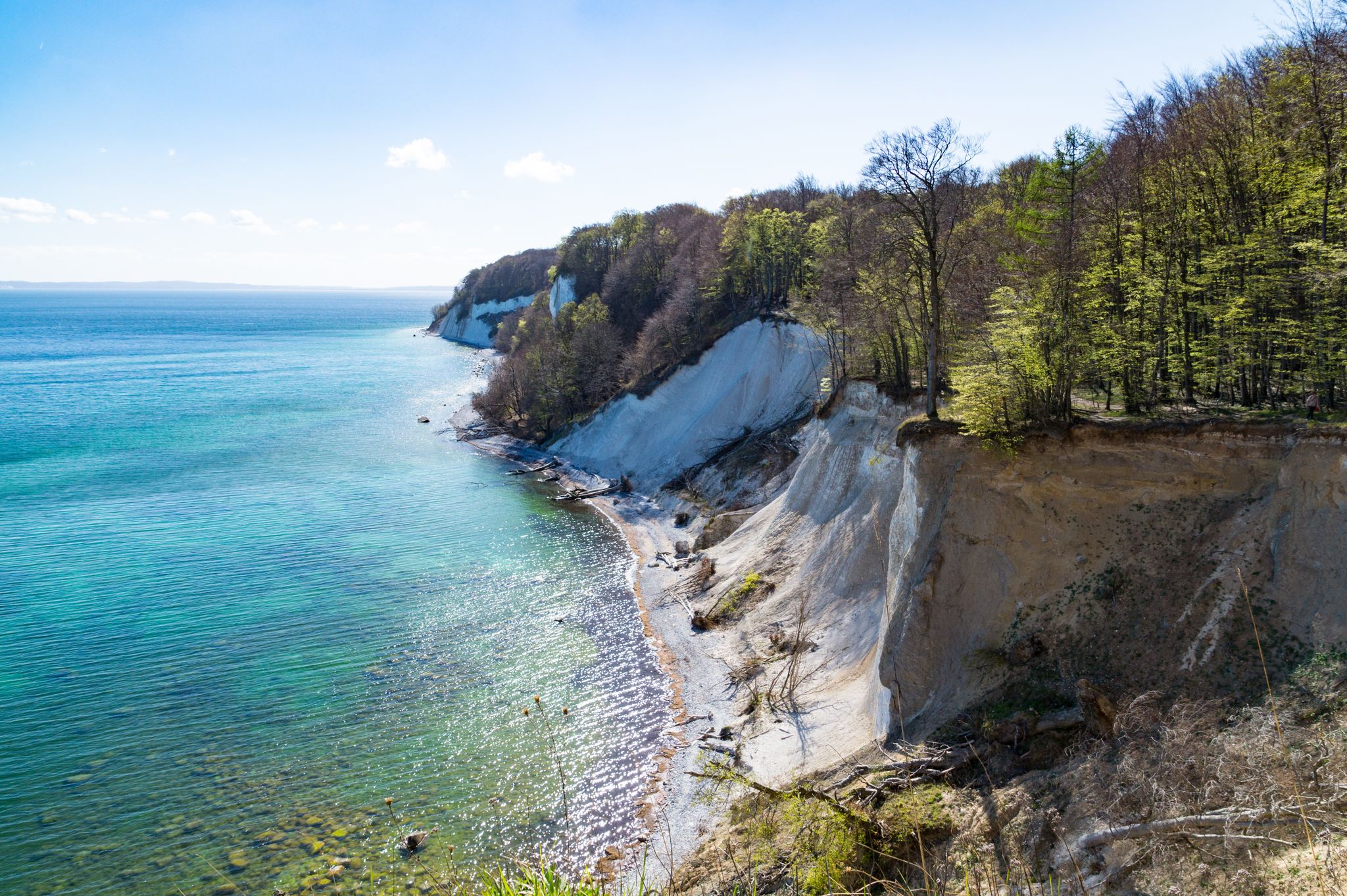
The National Natural Landscapes in Mecklenburg-Vorpommern
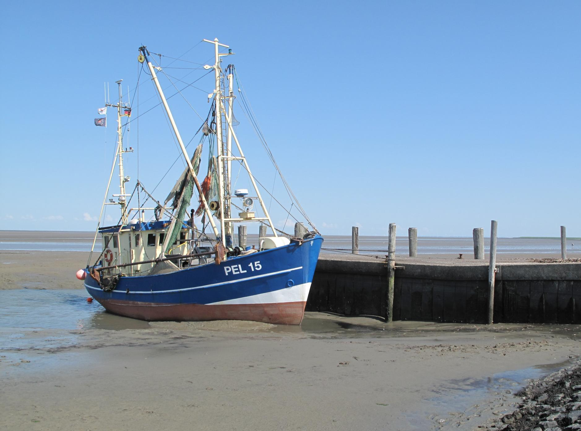
The National Natural Landscapes in Schleswig-Holstein
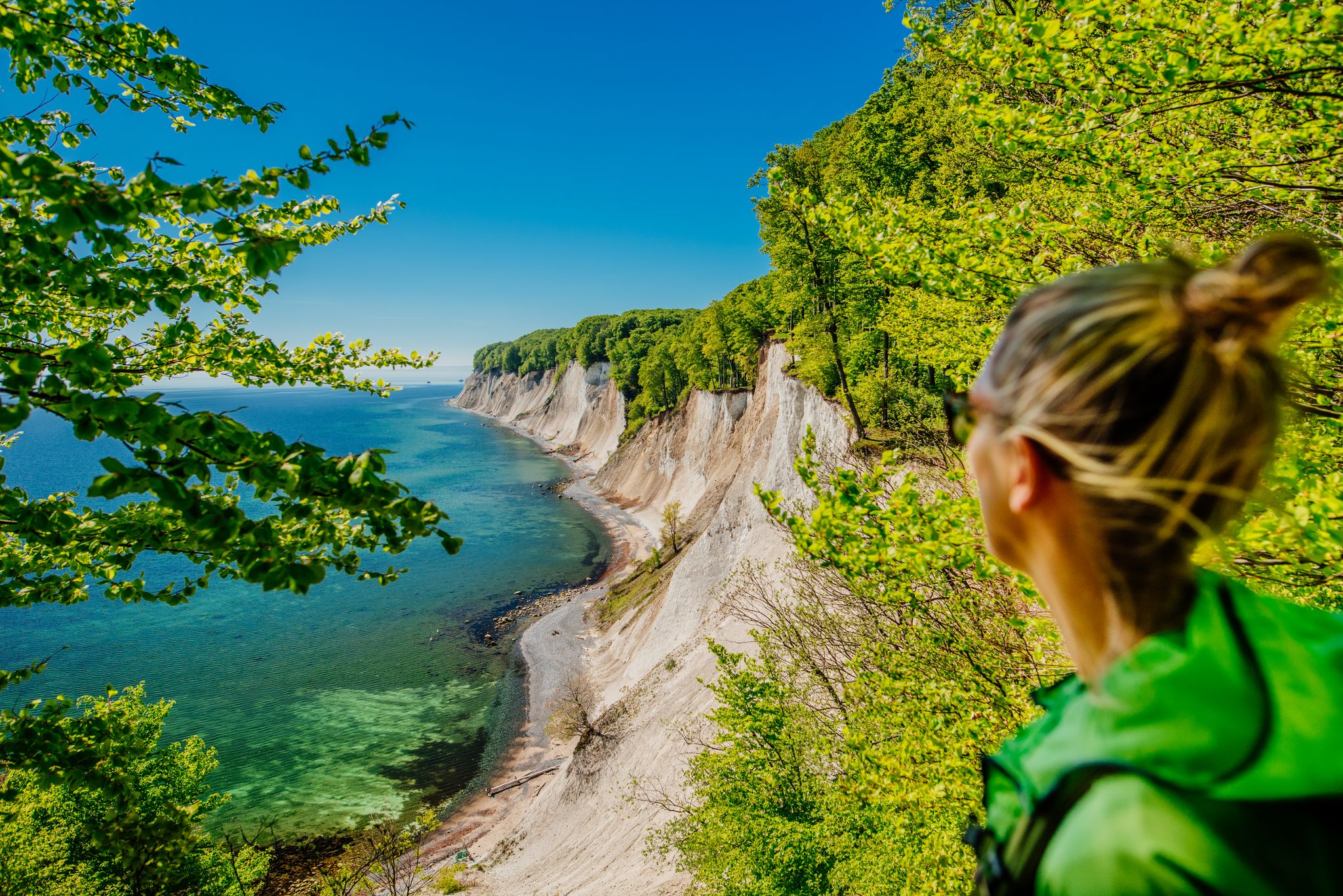
Beech forest and chalk coast – Jasmund National Park’s most beautiful hikes
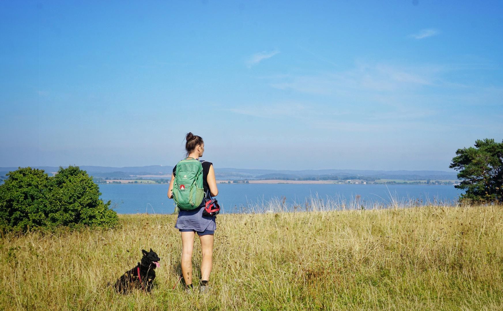
Rügen on foot – hiking on Germany's largest island
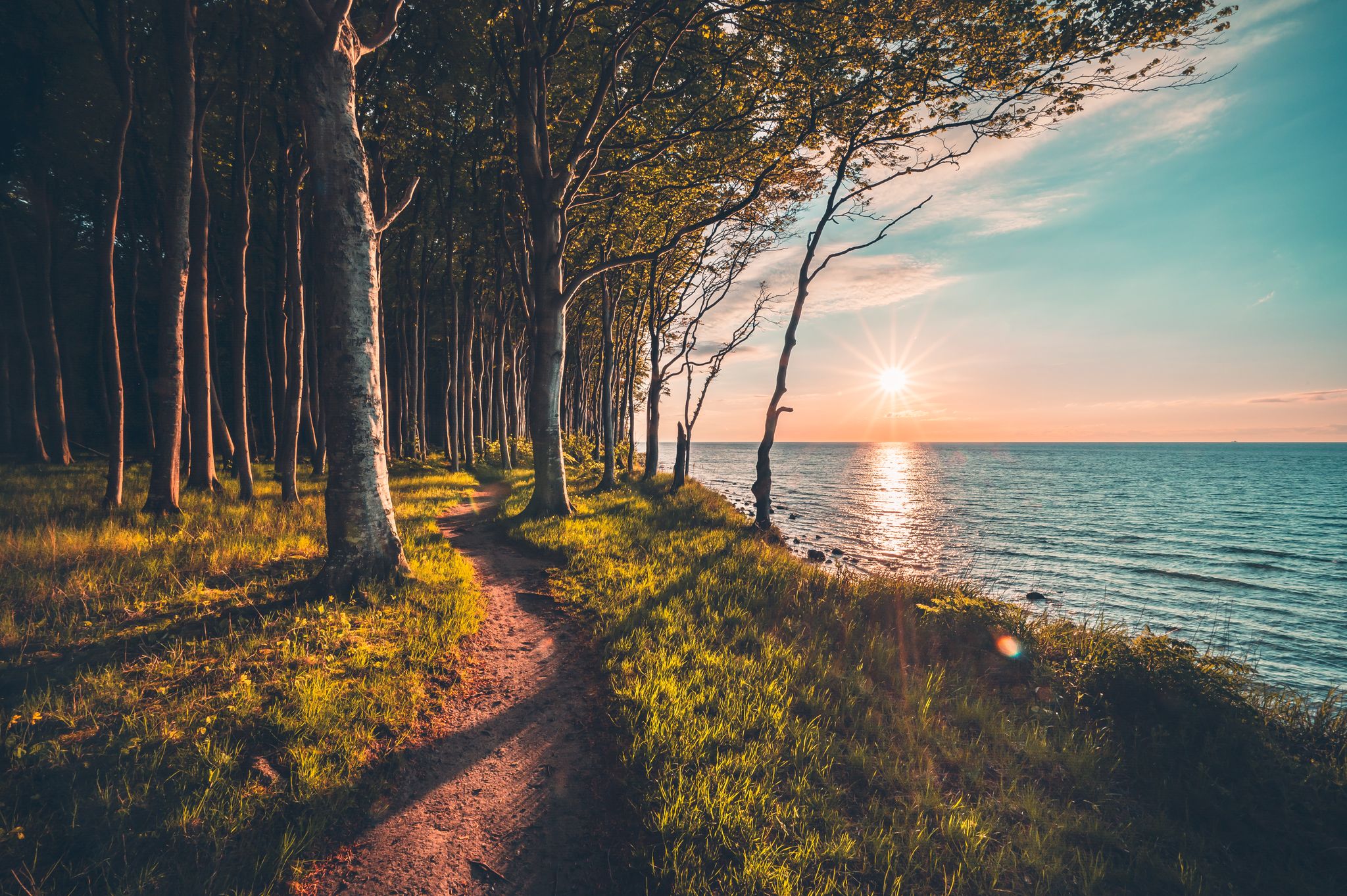
Anno 1826 - Caspar David Friedrich - Seventh Hike on Rügen

#GoFurther – discover the views of Germany!
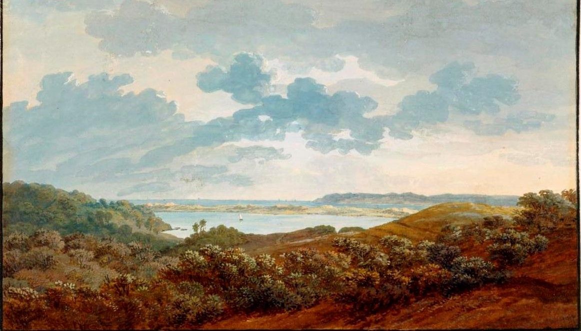
Anno 1801 – artist Caspar David Friedrich’s first hike on Rügen
Other adventures at the Baltic Sea


Tips from the Community

Why is the detour here worthwhile? Because a life without a view of the sea is possible, but not desirable.
0
0

Very nice tour with the R Scooter
0
0

A beautiful photo opportunity and a great place for a day trip.
14
0

Since February 2005, the Wissow Crags have been a lost sight of what they once were. Approximately 50,000 cubic meters of chalk tumbled from the cliff into the sea.
3
0

The Ernst Moritz Arndt Viewpoint is an impressive vantage point in Jasmund National Park on Rügen. From here, you can enjoy breathtaking views of the striking chalk cliffs and the Baltic Sea. The vantage point was named after the Rügen-born historian and writer Ernst Moritz Arndt.
1
1

There are three free options for parking your car and then starting your hike: The official car park is at Stadthof (east of the lake), or you can park in Parchtitz (approaching from the west), or in the large Familia car park and then cross the B96 (this is how you get to the lake from the south).
3
0

Bring time and binoculars.
1
0

Frequently Asked Questions
How many bus-accessible hiking trails are available in the Baltic Sea region?
The Baltic Sea region offers over 10,000 hiking trails that are accessible from bus stations. This includes a wide variety of routes suitable for different skill levels, from easy strolls to more challenging treks.
What kind of landscapes can I expect on bus-accessible hikes around the Baltic Sea?
You can expect a diverse range of landscapes. Many trails follow the extensive coastline, featuring sandy beaches, dramatic steep cliffs, and rocky archipelagos. Inland, you'll find coastal forests, glacial moraines, and unique dune formations. Notable areas include the chalk cliffs of Jasmund National Park and the ancient beech forests that crown them.
Are there easy bus-accessible hikes suitable for beginners or families?
Yes, the Baltic Sea region has numerous easy trails perfect for beginners and families. For example, the Hike to the KÖNIGSSTUHL National Park Centre offers an accessible path to one of the region's most iconic natural landmarks. Another great option is the Darßer Ort circular hiking trail, which is also rated easy.
What are some notable landmarks or points of interest I can see on these trails?
Many bus-accessible trails lead to or pass by significant landmarks. You can visit the impressive Pelzerhaken Lighthouse, enjoy panoramic views from Streckelsberg, or explore the historic Hessenstein Tower. The region is also known for its natural beauty, such as the Raisdorf Toad Ponds.
Can I find circular hiking routes that start and end at a bus station?
Absolutely. Many routes are designed as circular trails, making them convenient for public transport users. The Darßer Ort circular hiking trail is a prime example, allowing you to return to your starting point without needing additional transport.
Are there any dog-friendly bus-accessible hikes in the Baltic Sea region?
Yes, many trails in the Baltic Sea region are dog-friendly, though specific rules may apply in national parks or protected areas. It's always best to check local regulations for the specific trail you plan to hike. Generally, coastal paths and forest trails outside strict conservation zones are welcoming to dogs on a leash.
What is the best season for hiking from bus stations at the Baltic Sea?
The best time for hiking is typically from spring to autumn (April to October). During these months, the weather is generally mild, and the natural scenery is at its most vibrant. Summer offers the chance to combine hiking with swimming, while spring and autumn provide cooler temperatures and fewer crowds. Some trails are also suitable for winter hikes, offering a unique, serene experience.
What do other hikers enjoy most about the bus-accessible trails in the Baltic Sea?
The bus-accessible trails in the Baltic Sea region are highly rated by the komoot community, with an average score of around 4.6 stars from over 92,000 ratings. Reviewers often praise the stunning coastal views, the tranquility of the forest paths, and the convenience of reaching trailheads via public transport. The variety of landscapes, from sandy beaches to dramatic cliffs, is also frequently highlighted.
Are there any long-distance hiking trails accessible by bus in the Baltic Sea region?
Yes, sections of major long-distance trails like the European Long Distance Path E9 (Baltic Sea Coastal Hiking Trail) and the Baltic Coastal Hiking Route are accessible by bus. These routes are often divided into manageable one or two-day sections, allowing you to experience parts of these extensive trails using public transport for access.
Where can I find more information about public transport schedules for trail access?
For specific public transport schedules and connections, it's recommended to consult local transport providers or regional tourism websites. For the German Baltic Sea coast, particularly Mecklenburg-Vorpommern, you might find useful information on sites like visit-mv.com, which often links to regional transport options.
Are there any bus-accessible hikes that offer views of the famous chalk cliffs?
Yes, several bus-accessible hikes provide stunning views of the Baltic Sea's iconic chalk cliffs. The Hochuferweg, for instance, offers dramatic perspectives of the white cliffs in Jasmund National Park, including the famous Königsstuhl. You can reach trailheads for these routes via local bus services.
Most popular routes at the Baltic Sea
Most popular attractions at the Baltic Sea

Get inspired with the komoot mobile app


Explore more
Browse the best Hikes in other regions.
