The best city hikes and walks in Franconia
4.6
(50386)
197,984
hikers
2,996
hikes
Urban hiking trails in Franconia offer a diverse landscape, blending historical cityscapes with natural features. The region is characterized by rolling hills, river valleys, and extensive forests, even within or on the periphery of its towns and cities. Hikers can explore areas featuring dramatic rock formations, ancient forests, and open plateaus, often incorporating historical landmarks and scenic viewpoints. This varied terrain provides a range of experiences, from riverside paths to routes with moderate elevation changes.
Best urban hiking trails in…
Last updated: July 9, 2026
4.8
(260)
1,294
hikers
8.75km
02:29
180m
180m
Moderate hike. Good fitness required. Easily-accessible paths. Suitable for all skill levels.
4.7
(45)
208
hikers
6.96km
01:52
80m
80m
Easy hike. Great for any fitness level. Easily-accessible paths. Suitable for all skill levels.

Sign up for free
4.8
(1109)
3,184
hikers
Hard hike. Very good fitness required. Easily-accessible paths. Suitable for all skill levels.
4.8
(805)
3,854
hikers
Moderate hike. Good fitness required. Easily-accessible paths. Suitable for all skill levels.
4.6
(17)
75
hikers
Easy hike. Great for any fitness level. Easily-accessible paths. Suitable for all skill levels.
Get access to more routes and recommendations from other explorers.
Sign up for free
Already have an account?
Our route recommendations are based on thousands of hikes, rides, and runs completed by other people on komoot.
Start today with a free account
Your next adventure awaits.
Login or Signup
Popular around Franconia

Steigerwald panorama trail — 9 days

Main-Danube-Lake Constance Trail – Along iconic waters
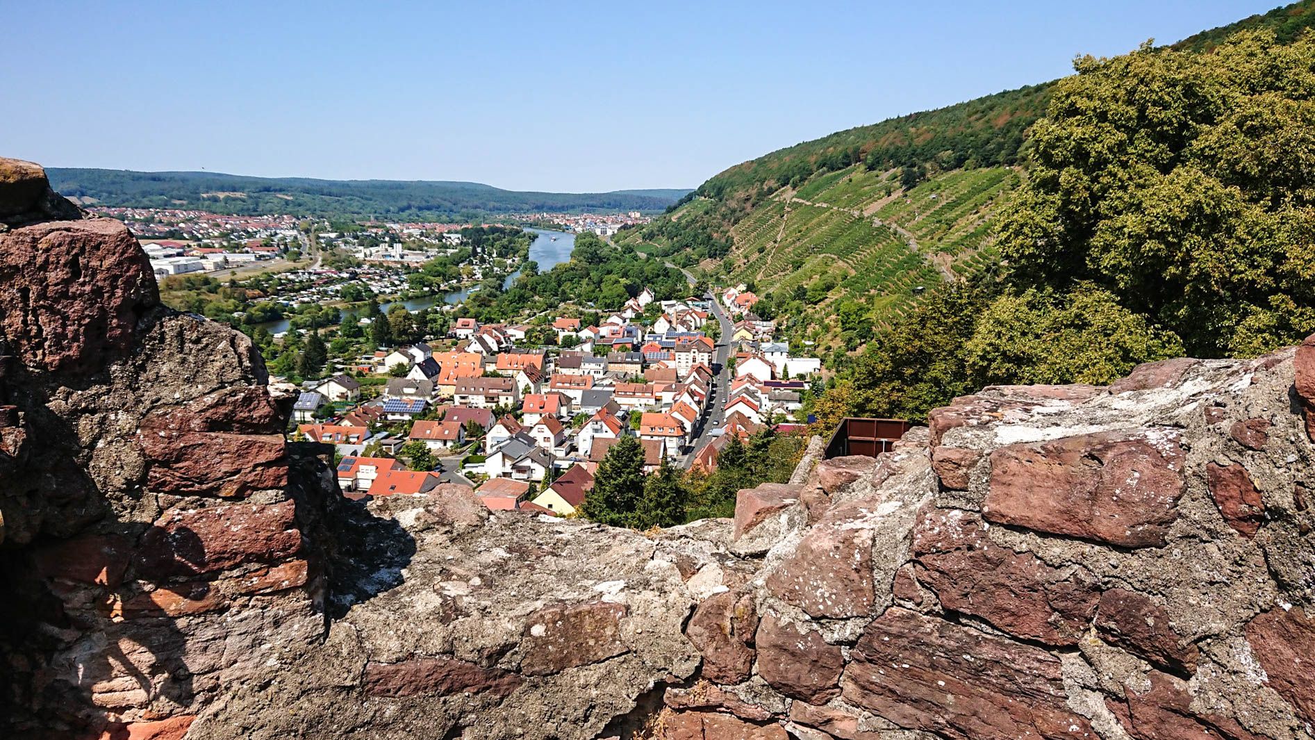
Franconian Red Wine Trail — From vineyards to the Main River

The Romantic Road – To the Pearls of Southern Germany
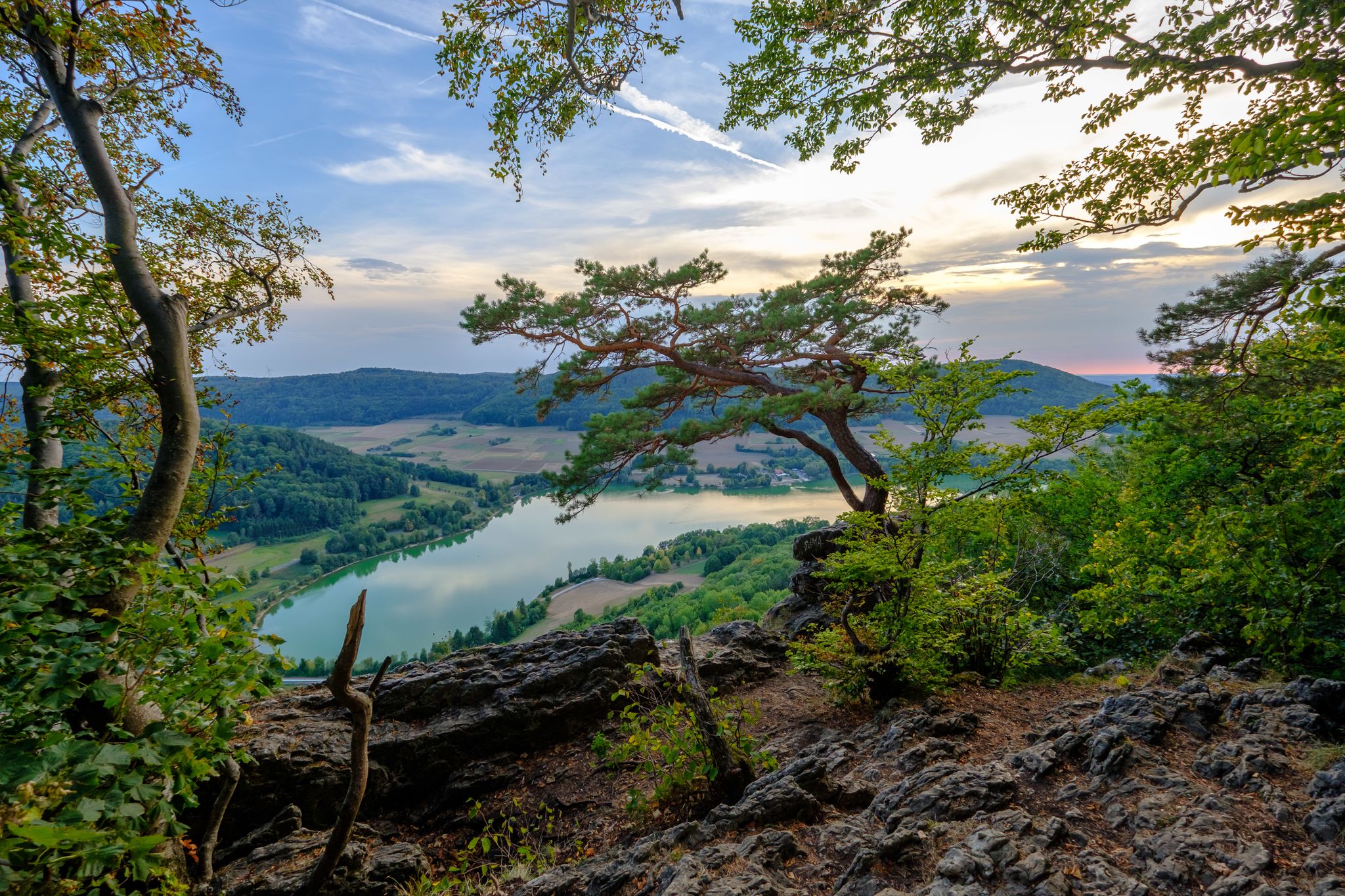
Franconian Jura Panorama Trail in Germany — Silent forests & lonely paths
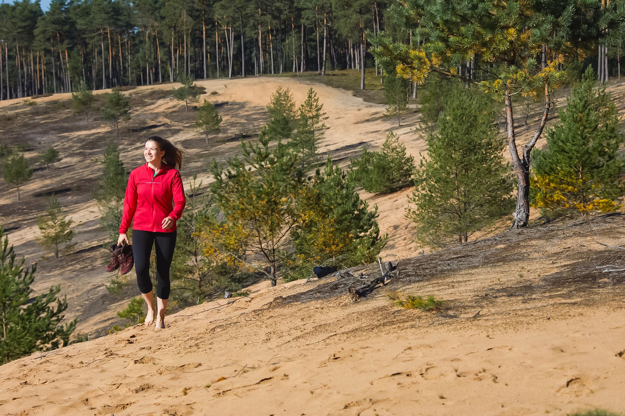
Hike the Dune Path in Central Germany – From sand dunes to forests
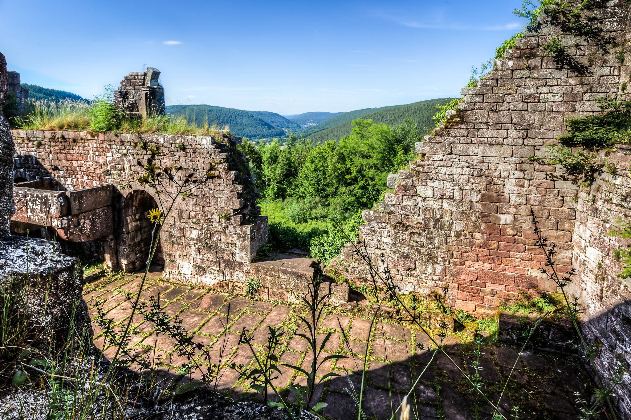
The Nibelungensteig in 7 stages – Simply legendary!

The Goldsteig – 38 stages between Upper Palatinate and Passau
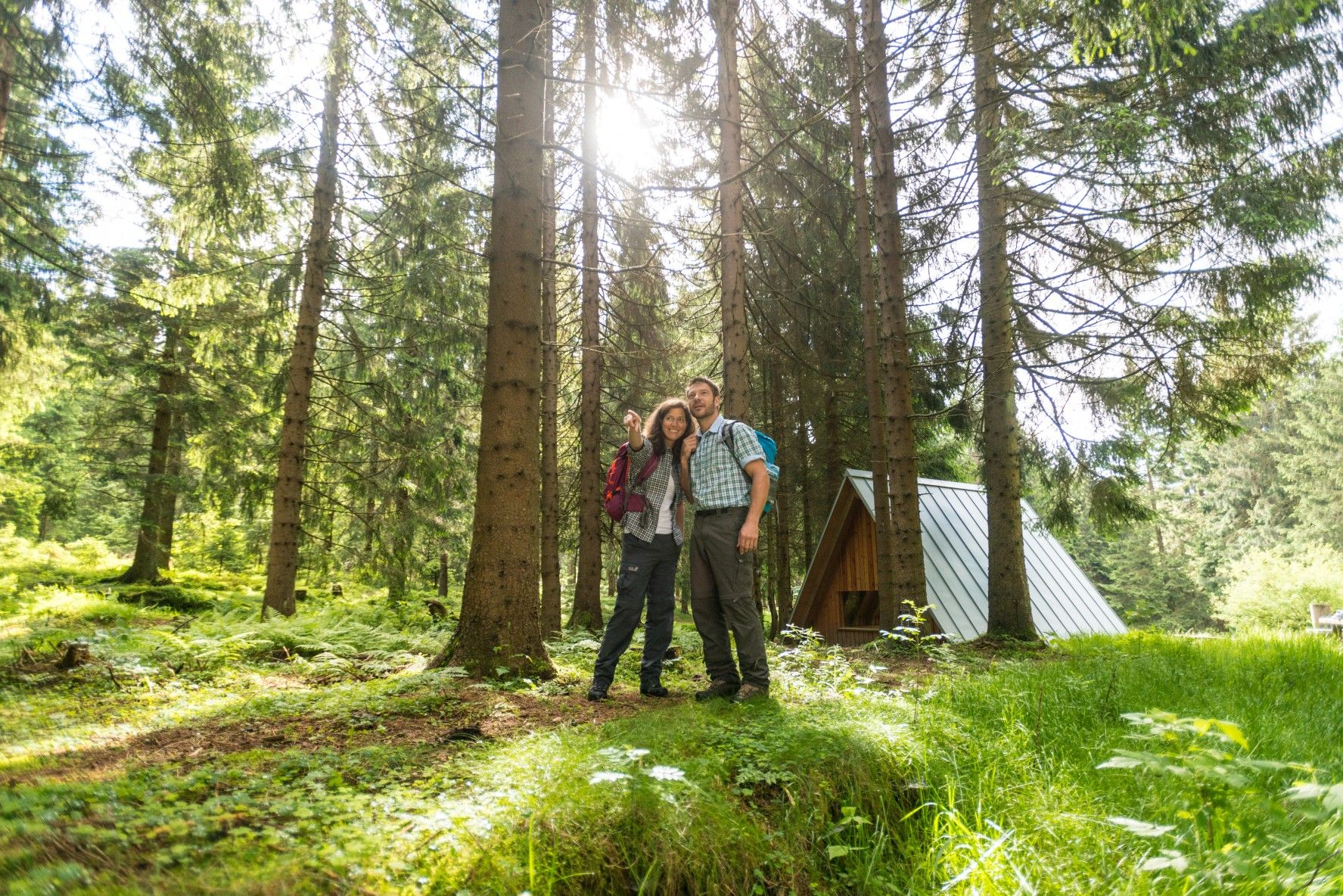
The Rennsteig — Thuringia's most beautiful hiking route
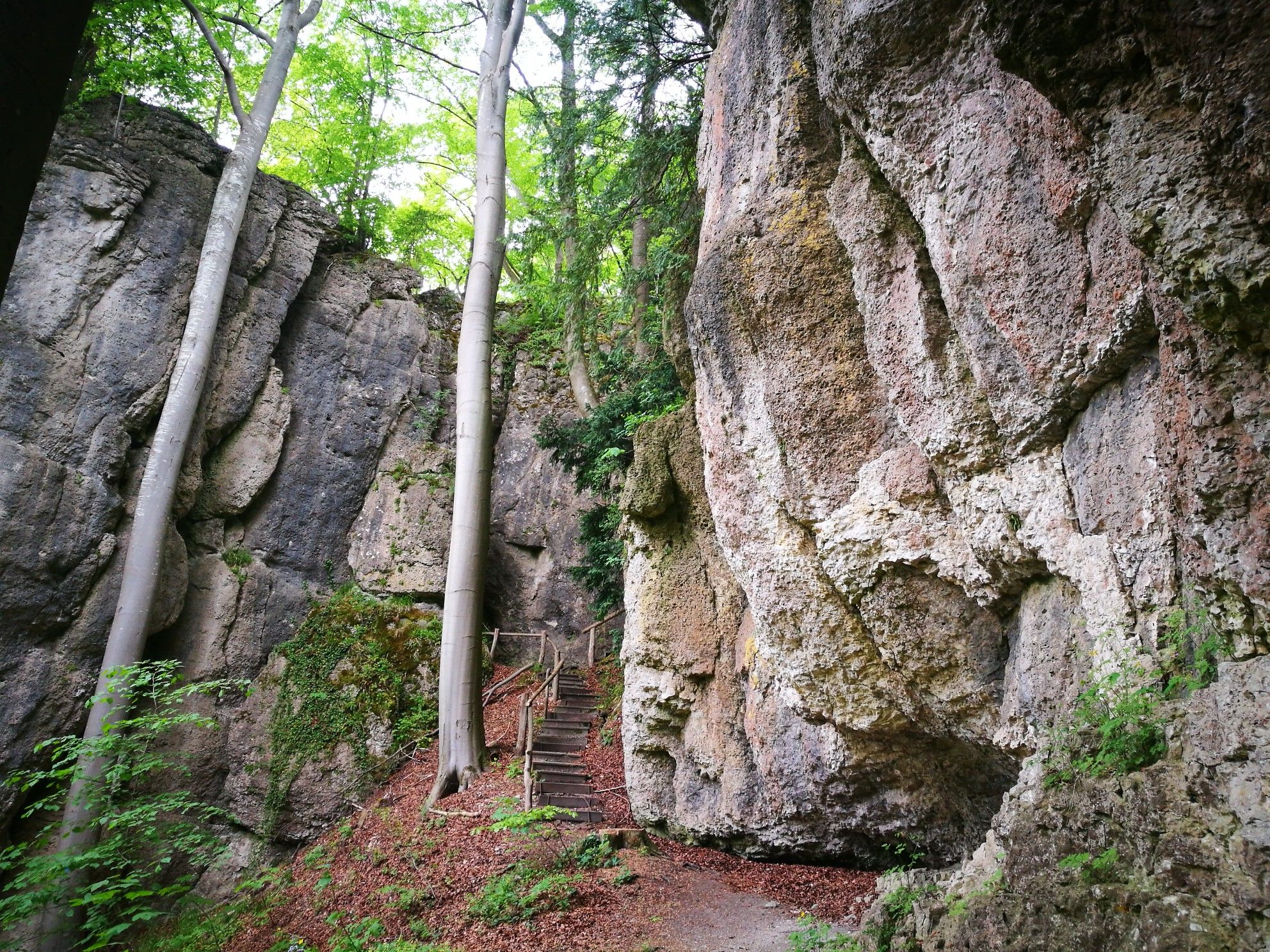
Forests, rocks and castles – 5-day circular through Franconian Switzerland
Other adventures in Franconia


Tips from the Community

Well-preserved path along the city wall. Rothenburg is a highlight for medieval freaks.
1
0

Old houses along the Wiesent River 👌👍 They're lovely to look at.
2
0

It's somewhat hidden, but the view down to Bamberg from here is well worth taking in.
0
0

There are so many perspectives to see in Rothenburg, each revealing something new. Whether inside or outside the wall, on the wall, or in the small alleys and half-timbered houses, it's worth coming here several times and taking your time.
1
0

Visitors can explore the city wall on the Rothenburg Tower Trail, which takes approximately 2.5 hours and covers four kilometers around the old town. On information boards and in the text of the Tower Trail brochure, the authors describe the history of Rothenburg ob der Tauber along the city's 42 towers. Rothenburg ob der Tauber – a city of towers. But which tower can visitors actually climb to get an overview? (https://www.rothenburg.de/entdecken/top-10/stadtmauer-und-tuerme )
1
0

Breathtakingly beautiful, medieval old town including battlements, accessible for several kilometers
8
0
Here you can get a view from outside... even without crowds
9
0

This man-made dam lies between the two bodies of water. With benches along its edge, one can peacefully enjoy the view of the lake, while all sorts of birds inhabit the shallow waters behind it.
1
0
Frequently Asked Questions
How many urban hiking trails are available in Franconia?
Franconia offers a vast network of urban hiking opportunities. You can explore over 2,900 routes that wind through its charming cities and towns, providing a unique blend of nature and culture.
What kind of terrain can I expect on urban hikes in Franconia?
Urban hikes in Franconia often feature a mix of paved paths, cobblestone streets, and riverside promenades. While many routes are relatively flat, some, especially those exploring historical city centers or viewpoints, may include gentle ascents. For example, the Coburg – Roses, Knights and Bratwurst tour includes some elevation changes as it explores the city's highlights.
What do other hikers say about urban trails in Franconia?
The urban hiking trails in Franconia are highly regarded by the komoot community, with an average rating of 4.6 out of 5 stars from over 33,000 reviews. Hikers frequently praise the well-maintained paths, the blend of historical sights with green spaces, and the accessibility of these routes.
Are there historical landmarks or interesting sights along urban trails?
Absolutely! Franconia's urban hikes are rich in history and culture. You'll encounter numerous castles, medieval city walls, and picturesque old towns. For instance, the Tower Trail along the city wall in Rothenburg ob der Tauber offers stunning views of historical architecture. In Nuremberg, you can explore the area around the Imperial Castle, as seen on the Schmausenbuck Tower – Imperial Castle Nuremberg loop.
Can I find natural features like gorges or scenic viewpoints on urban hikes?
Even within urban settings, Franconia offers access to beautiful natural features. Many city trails follow river valleys or lead to elevated viewpoints. While not directly within city centers, some urban-adjacent routes can bring you close to natural wonders like the Schwarzach Gorge (Schwarzachklamm) or offer panoramic views such as the View over the Wiesent Valley, which are popular highlights in the broader region.
Are there urban hiking routes suitable for families?
Yes, many urban trails in Franconia are perfect for families. The majority of routes are classified as easy, making them accessible for all ages. Look for paths along rivers or through city parks, which often have playgrounds or open spaces. The Bamberg – Views, Classics and Insider Tips tour is an easy option that allows families to explore the city's charm.
Can I bring my dog on urban hikes in Franconia?
Generally, dogs are welcome on urban hiking trails in Franconia. Many routes pass through parks and along riverbanks, providing pleasant environments for pets. However, always keep your dog on a leash, especially in crowded areas or nature reserves, and be mindful of local regulations regarding dogs in public spaces.
Are there circular urban walks available?
Yes, many urban hiking routes in Franconia are designed as circular walks, allowing you to start and end at the same point without retracing your steps. This is ideal for exploring a city's highlights efficiently. The Riparian forest along Wöhrder Lake loop in Nuremberg is a great example of a circular route.
What is the best time of year for urban hiking in Franconia?
Urban hiking in Franconia is enjoyable year-round. Spring brings blooming flowers and pleasant temperatures, while autumn offers vibrant foliage. Summer is great for enjoying outdoor cafes and riverside walks, though it can be warmer. Even in winter, a crisp walk through historical city centers can be magical, especially around Christmas markets.
Are there easy urban hikes for beginners or those looking for a relaxed stroll?
Absolutely. Over 2,600 of Franconia's urban hiking routes are classified as easy, making them ideal for beginners or those seeking a leisurely walk. These trails typically have minimal elevation gain and well-maintained surfaces, perfect for a relaxed exploration of the cities.
How accessible are urban hiking trails by public transport?
Franconian cities generally have excellent public transport networks, making it easy to reach the starting points of urban hikes. Many routes begin directly from train stations or bus stops, allowing for convenient access without needing a car. Specific details for each route can be found on its komoot tour page.
Most popular routes in Franconia
Most popular attractions in Franconia

Get inspired with the komoot mobile app


Explore more
Browse the best Hikes in other regions.
