The best city hikes and walks in Middle Franconia
4.5
(49758)
212,747
hikers
1,362
hikes
Urban hiking trails in Middle Franconia traverse a landscape characterized by river valleys, low hills, and historical city centers. The region features a blend of urban parks, waterside paths, and routes that explore the cultural heritage of cities like Nuremberg, Fürth, and Rothenburg ob der Tauber. These trails often follow rivers such as the Pegnitz and Altmühl, offering varied terrain for city exploration.
Best urban hiking trails in Middle Franconia
- The most popular urban hiking route is Nuremberg – Metropolis…
Last updated: August 27, 2026
4.8
(1123)
3,245
hikers
25.2km
06:31
150m
150m
Hard hike. Very good fitness required. Easily-accessible paths. Suitable for all skill levels.
4.8
(792)
3,648
hikers
Moderate hike. Good fitness required. Easily-accessible paths. Suitable for all skill levels.

Sign up for free
4.7
(7)
34
hikers
4.22km
01:08
50m
60m
Easy hike. Great for any fitness level. Easily-accessible paths. Suitable for all skill levels.
3.5
(2)
12
hikers
Moderate hike. Good fitness required. Easily-accessible paths. Suitable for all skill levels.
4.8
(290)
1,268
hikers
Moderate hike. Good fitness required. Easily-accessible paths. Suitable for all skill levels.
Get access to more routes and recommendations from other explorers.
Sign up for free
Already have an account?
Our route recommendations are based on thousands of hikes, rides, and runs completed by other people on komoot.
Start today with a free account
Your next adventure awaits.
Login or Signup
Popular around Middle Franconia

City hikes in Steigerwald

City hikes in Landkreis Ansbach
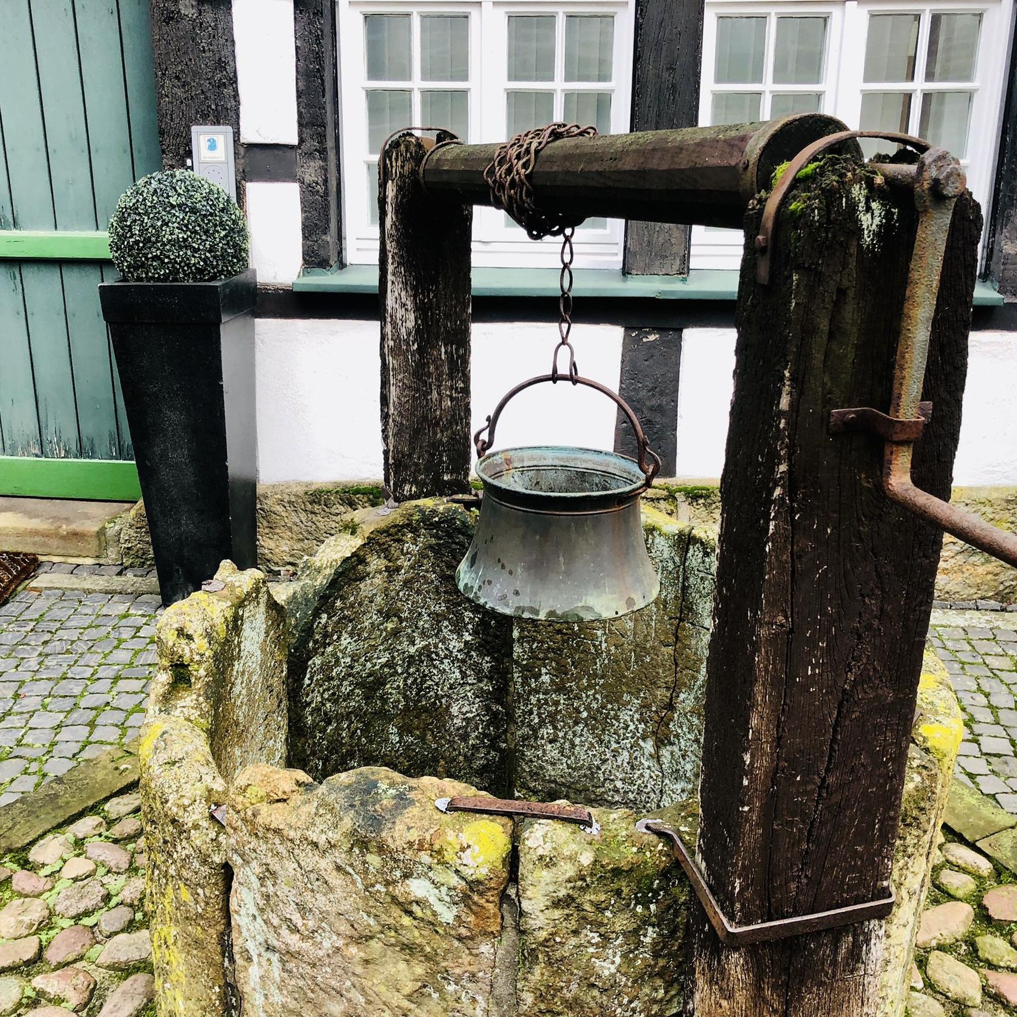
City hikes around Wöhrder Lake
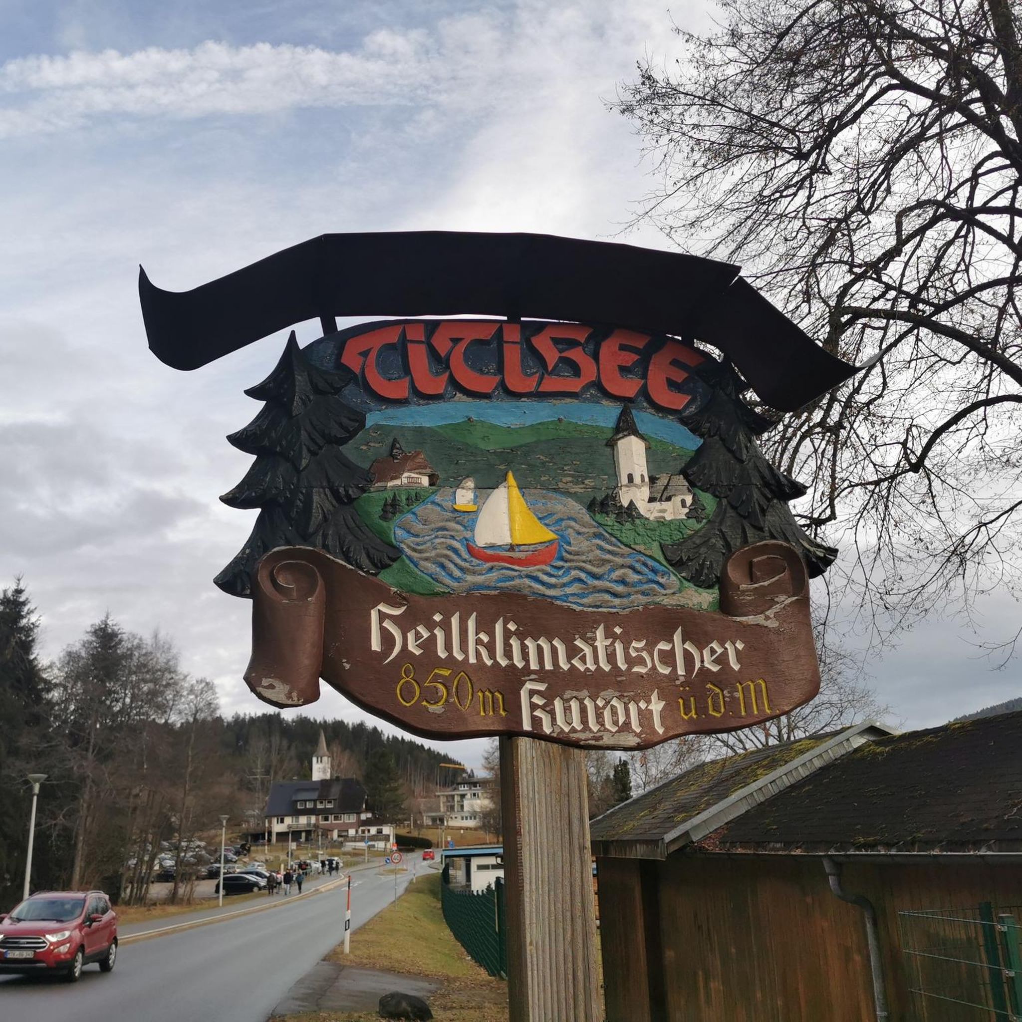
City hikes in Nürnberger Land
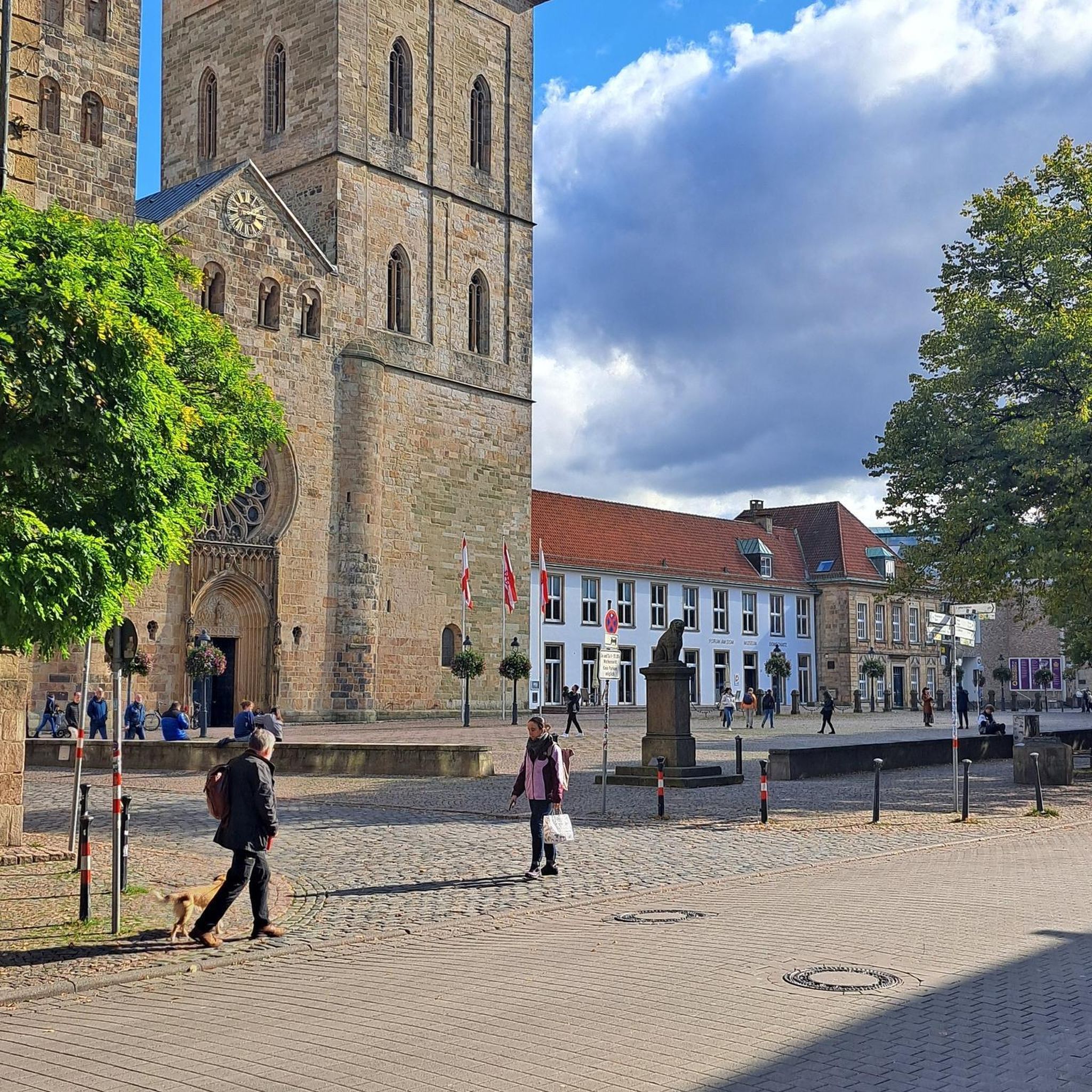
City hikes in Landschaftsschutzgebiet Königshof
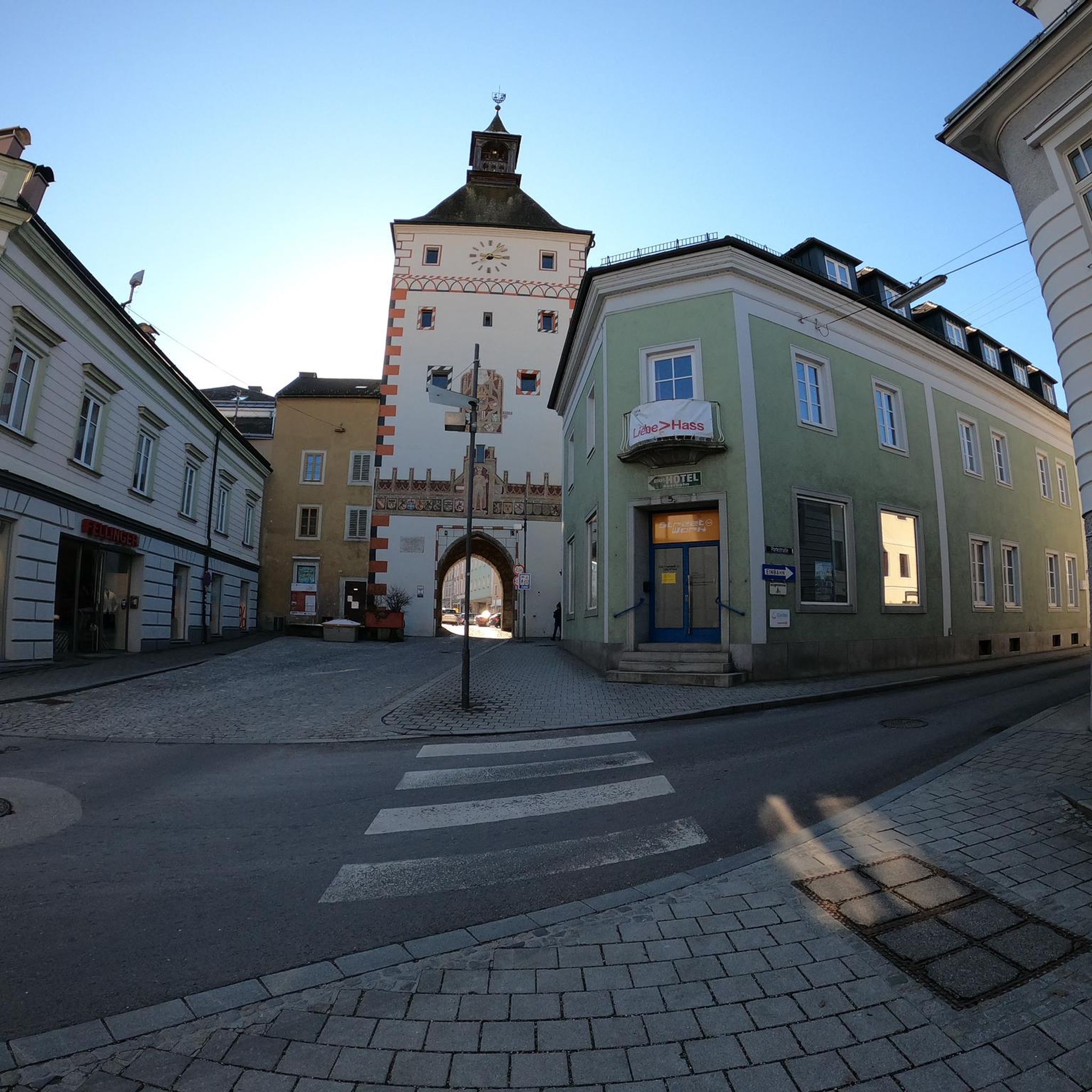
City hikes in Landkreis Erlangen-Höchstadt
City hikes in Neustadt an der Aisch-Bad Windsheim
City hikes in Landschaftsschutzgebiet Langwasser

City hikes around Schwabach
City hikes in Pegnitztal Ost
Other adventures in Middle Franconia


Tips from the Community

Towers over towers on the old fortifications in Dinkelsbühl. Picturesque and very beautiful to look at.
3
0
The city wall and the footbridges are very worth seeing and part of a large medieval defensive system for the old town.
1
0

Well-preserved path along the city wall. Rothenburg is a highlight for medieval freaks.
1
0

Large covered walkway from the primary school to the old town skyline
0
0

Great street. Great old town. What more could you want? 🤩
3
0

There are so many perspectives to see in Rothenburg, each revealing something new. Whether inside or outside the wall, on the wall, or in the small alleys and half-timbered houses, it's worth coming here several times and taking your time.
1
0

Visitors can explore the city wall on the Rothenburg Tower Trail, which takes approximately 2.5 hours and covers four kilometers around the old town. On information boards and in the text of the Tower Trail brochure, the authors describe the history of Rothenburg ob der Tauber along the city's 42 towers. Rothenburg ob der Tauber – a city of towers. But which tower can visitors actually climb to get an overview? (https://www.rothenburg.de/entdecken/top-10/stadtmauer-und-tuerme )
1
0
A predecessor church with a likely rectangular chancel, stone foundations of which were uncovered in 1977/78, probably dates from 1142/46 and was probably dedicated to St. Ursula. Around 1227, a freestanding bell tower (campanile) with an impressive tower hall and Romanesque round-arch portal without a tympanum was built. It was extended around 1238 and connected to the church interior. An extension of the rectangular chancel and certainly a consecration to St. Bartholomew took place after 1302. This church was replaced between 1323 and 1341 by a new building 70 meters long with a Gothic chancel end, which was demonstrably already dedicated to St. George. It was replaced by the construction of the Minster between 1448 and 1499. For the three-aisled hall church, which was widened and extended on both sides, the new tower was only built on the ground floor, while the old tower was extended until 1550.
0
0
Frequently Asked Questions
How many urban hiking trails can I find in Middle Franconia?
Middle Franconia offers a vast network of urban hiking trails, with over 1300 routes available on komoot. These range from easy strolls to more challenging city explorations, ensuring there's something for every hiker.
Are there urban hikes suitable for families in Middle Franconia?
Yes, many urban trails in Middle Franconia are perfect for families. These routes often feature easy terrain and pass by interesting sights. For example, the Nuremberg – Metropolis on the Pegnitz | Tour S1 is an easy option, allowing families to explore the city's highlights without strenuous climbs.
Can I bring my dog on urban hikes in Middle Franconia?
Generally, dogs are welcome on urban hiking trails in Middle Franconia. However, it's always best to keep them on a leash, especially in populated areas, nature reserves, or near wildlife. Always carry bags to clean up after your dog. Specific rules might apply in certain parks or public spaces, so look out for local signage.
What kind of natural sights can I expect on urban trails in Middle Franconia?
Even within urban settings, Middle Franconia's trails often incorporate green spaces and natural features. You might find routes along riverbanks like the Pegnitz, through city parks, or even leading to local hills offering panoramic views. The Riparian forest along Wöhrder Lake – Wöhrder Lake Boardwalk loop from Wöhrder Wiese in Nuremberg, for instance, offers a pleasant walk through a riparian forest right in the city.
Are there urban routes that offer historical landmarks or cultural insights?
Absolutely. Middle Franconia is rich in history, and many urban hikes lead past significant landmarks. The Tower Trail along the city wall – Markus Tower & Röder Arch loop from Rothenburg ob der Tauber is an excellent example, allowing you to walk along historic city walls. Other routes might take you through old town centers, past castles, or ancient Roman settlements, offering a blend of nature and culture.
Where can I find circular urban walks in the region?
Many urban hiking trails in Middle Franconia are designed as circular routes, allowing you to start and end at the same point. This is convenient for those using public transport or parking a car. The Riparian forest along Wöhrder Lake – Wöhrder Lake Boardwalk loop from Wöhrder Wiese is a great circular option in Nuremberg.
How can I access urban trails using public transport in cities like Fürth or Erlangen?
Cities like Fürth and Erlangen have excellent public transport networks, making it easy to reach urban trailheads. Many routes start directly from train stations or bus stops. For example, the Fürth – Urban Beach Flair, Jewish Culture and Many Culinary Highlights | Tour S2 is easily accessible within Fürth, allowing you to explore the city without a car.
Are there places to eat or drink along urban hiking routes?
Yes, urban hiking routes in Middle Franconia often pass through city centers or neighborhoods with numerous cafes, restaurants, and traditional Franconian pubs. You'll find plenty of opportunities to stop for a coffee, a meal, or a refreshing local beer. Some routes might even lead past charming beer gardens or local eateries, especially in cities like Nuremberg, Fürth, and Erlangen.
What is the best time of year for urban hiking in Middle Franconia?
Urban hiking in Middle Franconia is enjoyable year-round. Spring brings blooming flowers and mild temperatures, while summer offers long daylight hours perfect for evening strolls. Autumn provides beautiful foliage, and even winter can be magical with crisp air and festive city lights. The choice depends on your preference for weather and scenery.
Are there any urban trails that offer great viewpoints?
Yes, several urban trails in Middle Franconia lead to elevated points offering impressive views. For instance, the Schmausenbuck Tower – Imperial Castle Nuremberg loop from Nürnberg-Dutzendteich includes the Schmausenbuck, which provides high views above the treetops. The Moritzberg, also known as Nuremberg's local mountain, is another popular destination for hikers seeking panoramic vistas.
Do I need any special permits for urban hiking in Middle Franconia?
No, generally you do not need any special permits for urban hiking on public trails and paths in Middle Franconia. Access to nature is largely unrestricted in Germany. However, always respect private property, follow local signage, and adhere to any specific rules for nature reserves or protected areas you might encounter on the outskirts of urban areas.
What do other hikers say about urban trails in Middle Franconia?
The urban trails in Middle Franconia are highly rated by the komoot community, with an average score of 4.5 stars. Reviewers often praise the well-maintained paths, the blend of historical sights with green spaces, and the accessibility of these routes, making them perfect for a relaxed yet engaging outdoor experience.
Most popular routes in Middle Franconia
Most popular attractions in Middle Franconia

Get inspired with the komoot mobile app


Didn’t find what you were looking for?
Check out more Hikes throughout Middle Franconia below and find the perfect route in your destination.
Explore more
Browse the best Hikes in other regions.
