The best hikes from bus stations in Piacenza
4.4
(6097)
28,027
hikers
129
hikes
Bus station hiking trails in Piacenza traverse a diverse landscape characterized by gentle hills, deep valleys, and mountain peaks. The region features varied terrains, including forests, rivers, and historical sites. Key valleys such as Val Trebbia, Val Nure, Val Ceno, and Val Tidone offer distinct natural features for exploration. The Apennine chain forms a significant part of the area's natural beauty, providing numerous routes for hikers.
Best bus station hiking trails in Piacenza
- The most popular bus station hiking route…
Last updated: September 27, 2026
3.3
(37)
67
hikers
7.94km
02:36
380m
380m
Moderate hike. Good fitness required. Easily-accessible paths. Suitable for all skill levels.
2.7
(7)
18
hikers
8.90km
02:23
100m
100m
Moderate hike. Good fitness required. Mostly accessible paths. Sure-footedness required.

4.1
(14)
62
hikers
15.2km
05:13
720m
720m
Hard hike. Very good fitness required. Mostly accessible paths. Sure-footedness required.
3.4
(10)
33
hikers
12.2km
03:55
530m
530m
Moderate hike. Good fitness required. Easily-accessible paths. Suitable for all skill levels.
4.1
(10)
20
hikers
11.4km
03:39
490m
490m
Moderate hike. Good fitness required. Easily-accessible paths. Suitable for all skill levels.
Get access to more routes and recommendations from other explorers.
Already have an account?
Our route recommendations are based on thousands of hikes, rides, and runs completed by other people on komoot.
Start today with a free account
Your next adventure awaits.
Popular around Piacenza

Hikes from bus stations around the Po

Hikes from bus stations in Geosito Di Croara

Hikes from bus stations in Zona Di Protezione Speciale

Hikes from bus stations around Lake Trebecco
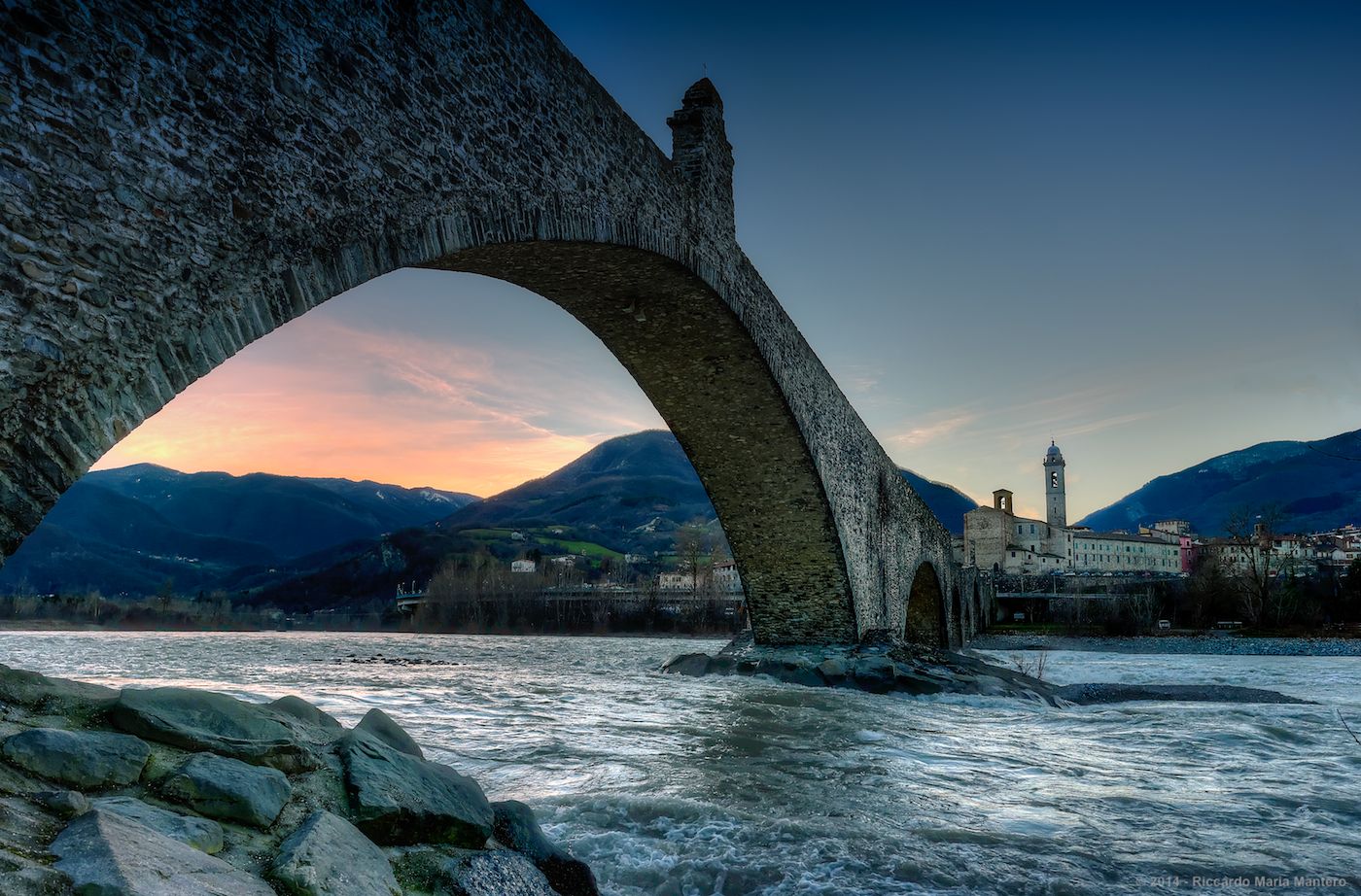
Hike from Milan to the sea – Path of the Celts and Ligurians
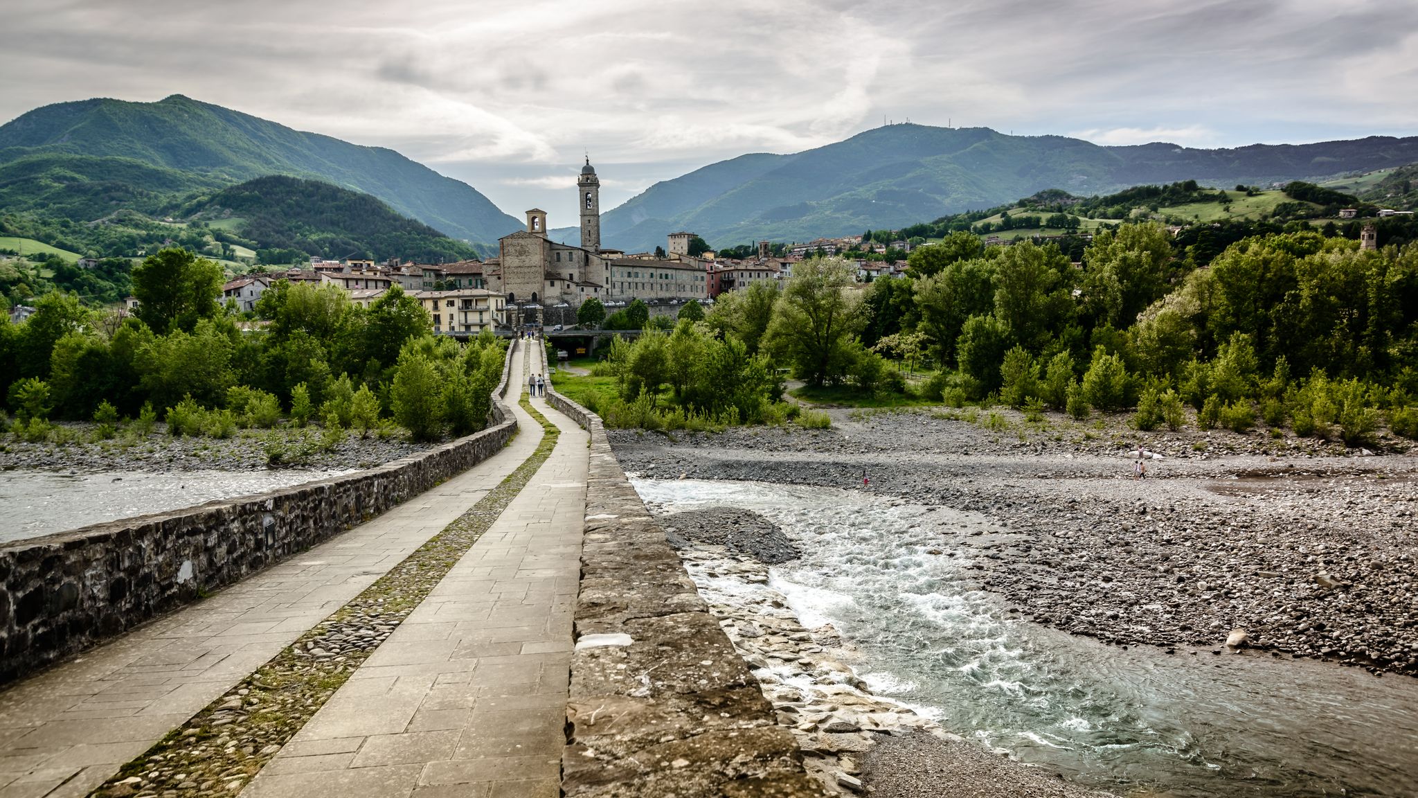
A historic hike from Pavia to Pontremoli – Via degli Abati
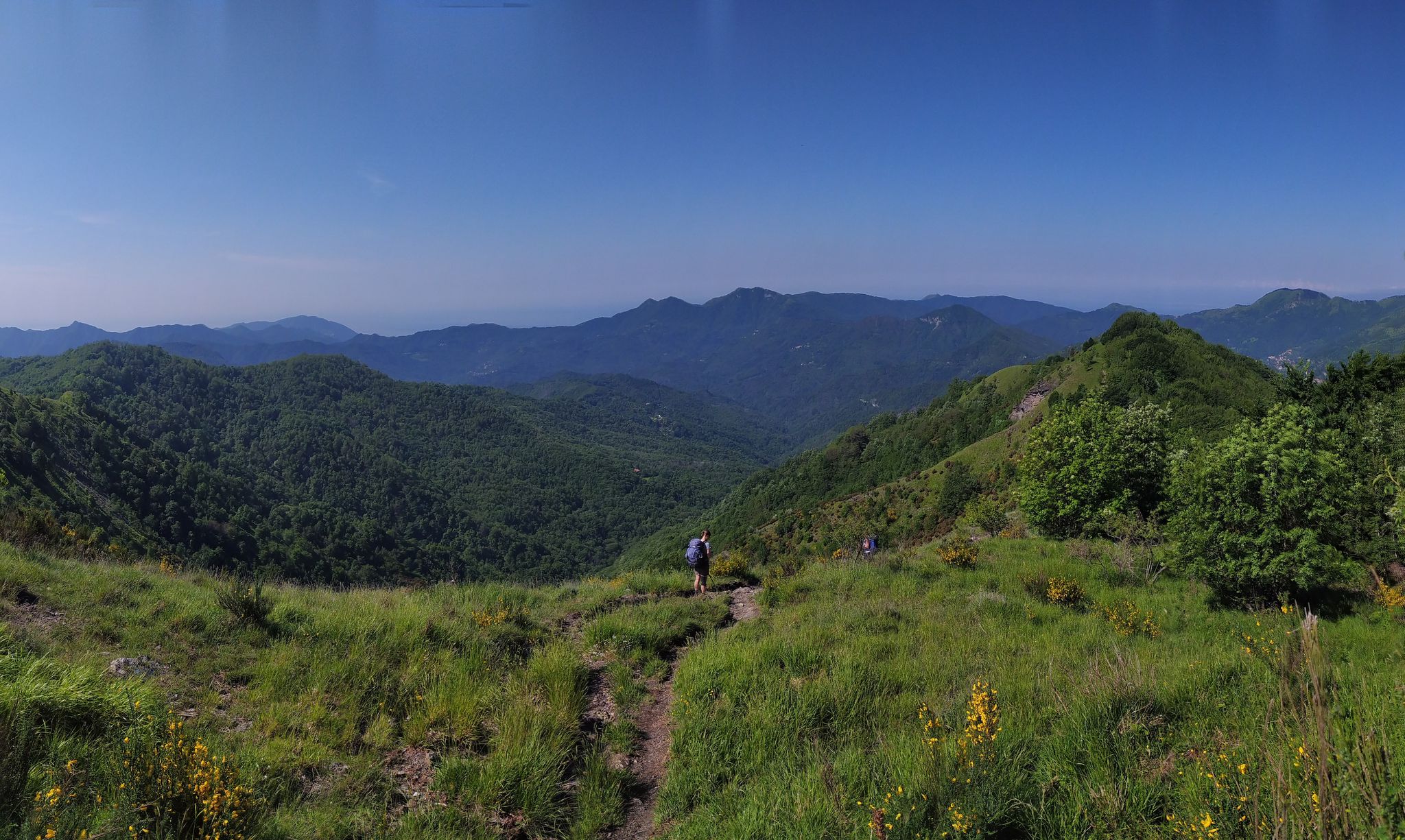
On the way to the sea – Italy’s Salt Road
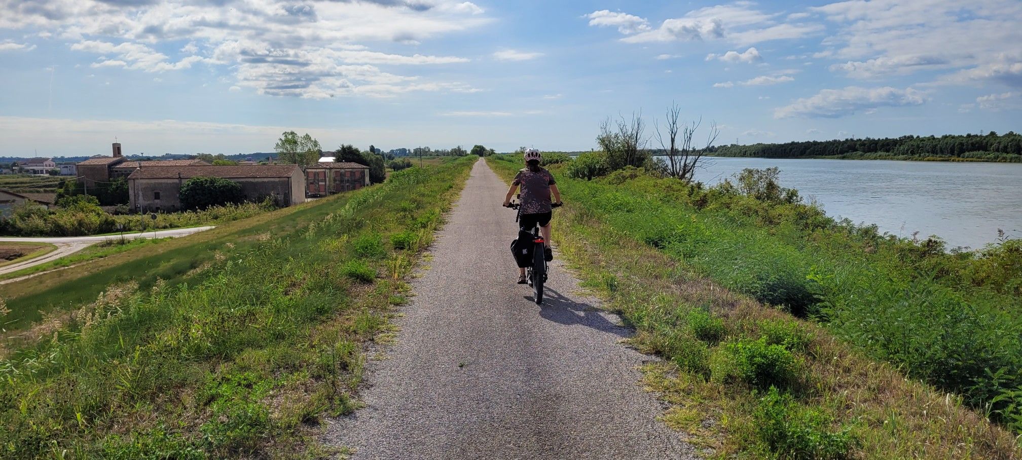
Ciclovie del Po — An all-round experience along Italy's longest river
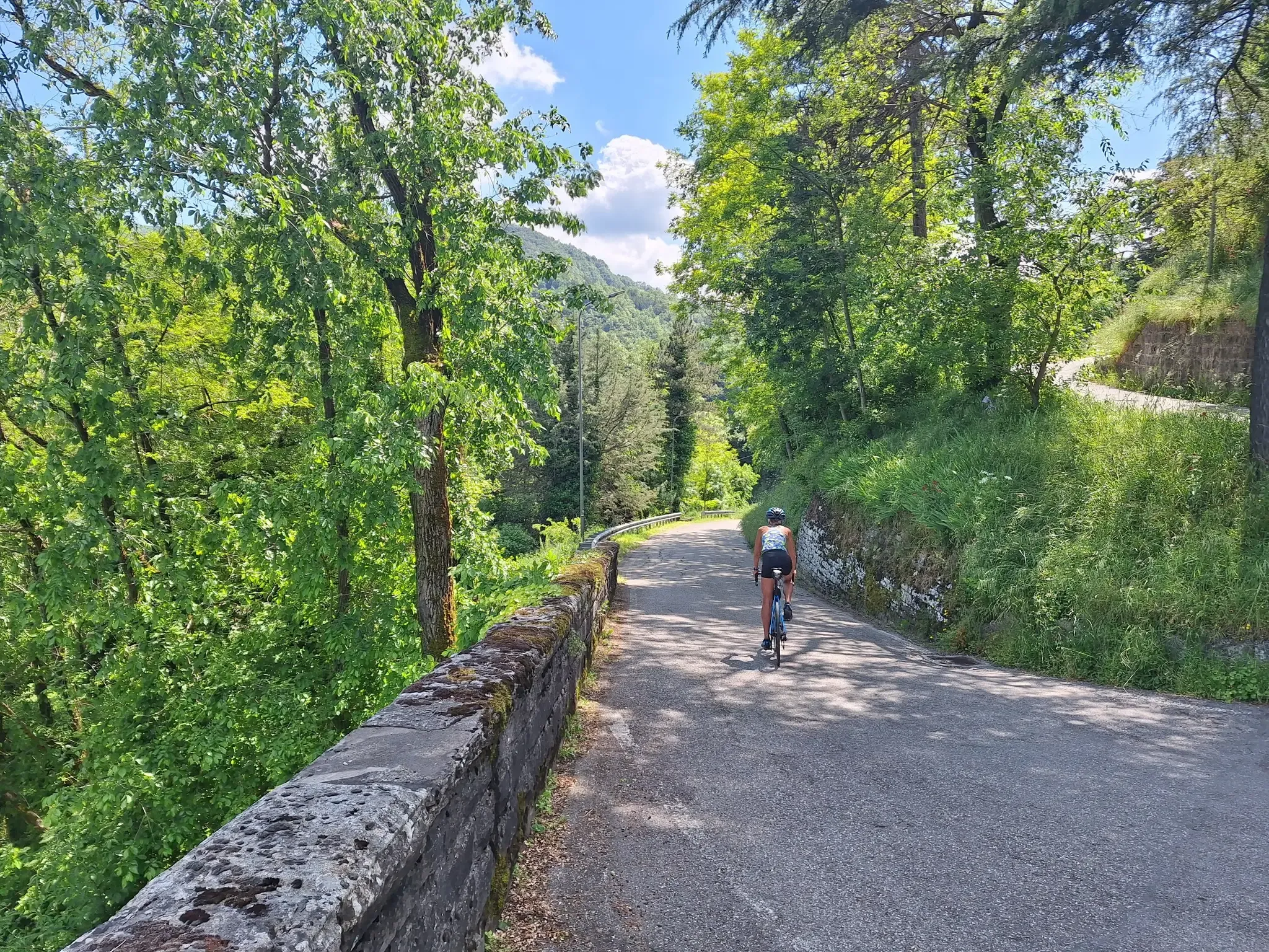
Emilia-Romagna by bike – rides between the plains and the Apennines

Apennine Cycle Route (Part 1) - From Liguria to Umbria
Other adventures in Piacenza


Tips from the Community

This side of the hill is characterized by a rapid change in terrain type at every step, you go from the tree-lined path, to the classic path and suddenly you turn the curve and you find yourself overlooking the gullies. They almost look like sand dunes but in the end they are clay rocks eroded by water. The peculiarity is that some are completely almost devoid of vegetation and immediately after you find them covered.
0
0

Excellent panoramic point
0
0

Rivalta Castle is one of the very few European examples of manors surrounded by an ancient village that has largely remained intact today.
0
0
Rivalta Castle is one of the very few European examples of manors surrounded by an ancient village that has largely remained intact today. Mentioned in documents as early as 1048, it is a sumptuous noble residence, surrounded by a magnificent park. The castle shows a quadrangular planimetric development and is characterized by a singular fifteenth-century cylindrical tower, which ends with the unmistakable small tower
0
0
Pillerone is 601 m high and not 594. and the view extends over nothing because the top is surrounded by woods. I don't know how Martina manages to write this rubbish...🤣
3
0

Trail very ruined by Jeeps and Motorcycles......they made the trail a unique mud... Going around it is the only solution!
0
0
Frequently Asked Questions
How many hiking trails are accessible from bus stations in Piacenza?
There are over 100 hiking trails in the Piacenza region that are easily accessible from bus stations, offering a wide range of options for all skill levels. You'll find everything from gentle strolls through valleys to more challenging ascents in the Apennines.
Are there any easy, family-friendly hikes accessible by bus in Piacenza?
Yes, Piacenza offers many easy routes suitable for families. The region's gentle hills and valleys provide numerous opportunities for pleasant walks. For example, the Via del Mare / Via del Sale Trail is a moderate option that follows historical paths, offering an engaging experience without extreme difficulty.
Can I find circular hiking routes from bus stops in Piacenza?
Absolutely. Many trails in Piacenza are designed as circular routes, allowing you to start and end your hike at the same bus stop. An example is the From Lugherzano to Monte Sant'Anna via Spettine – ring tour, which offers a scenic loop through the landscape.
Are there any trails with waterfalls or lakes accessible by public transport?
Yes, the Piacenza region is home to beautiful natural water features. The evocative Cascate del Perino (Perino Waterfalls) are a highlight, accessible via CAI Route 155. You can also explore picturesque lakes like Lago Moo, which can be reached via the Lago Moo Loop from Ferriere, a more challenging but rewarding hike.
What kind of views can I expect on bus-accessible hikes in Piacenza?
Piacenza's diverse landscape ensures stunning views. You'll find panoramic vistas over the Val Trebbia, Val Nure, Val Ceno, and Val Tidone. Peaks like Monte Carameto are particularly noted for offering 360° views. Even on moderate trails like the Travo 8 Trail, you can enjoy beautiful scenery towards Monte Pillerone.
What do other hikers say about the trails in Piacenza?
The Piacenza hiking trails are highly regarded by the komoot community, with an average rating of 4.4 out of 5 stars from over 4,500 reviews. Hikers often praise the region's diverse landscapes, well-maintained paths, and the blend of natural beauty with historical sites.
Are there any historical or cultural points of interest along the bus-accessible routes?
Many trails in Piacenza weave through areas rich in history and culture. You can discover medieval villages like Castell'Arquato and Bobbio, or explore ancient castles that are part of the Castelli del Ducato di Parma e Piacenza circuit. The CAI Path 209, for instance, leads to the ancient Rocca d'Olgisio and nearby natural caves.
Are there any dog-friendly hiking trails accessible by bus in Piacenza?
Many of Piacenza's trails are suitable for hiking with dogs, especially those through forests and along rivers in the Val Trebbia or Val Tidone. It's always recommended to keep your dog on a leash, especially in nature reserves or near livestock, and to check local regulations for specific routes.
What is the best time of year to go hiking from bus stations in Piacenza?
The mild climate of spring and autumn makes these seasons ideal for exploring Piacenza's outdoor offerings. The temperatures are pleasant, and the landscapes are particularly vibrant with blooming flowers or rich autumn colors. Summer can also be enjoyable, especially for higher altitude trails, while winter offers a different, often quieter, experience.
Can I find trails that lead to mountain peaks from bus stops?
Yes, the Apennine chain provides numerous opportunities to reach mountain peaks. While some require more challenging hikes, routes like the Monte Dinavolo and Denavolo Loop from Travo offer access to summits with rewarding views. You can also find highlights like the Monte Denavolo Summit Cross or the Monte Bue summit, which can be incorporated into longer hikes.
Are there any long-distance trails in Piacenza that can be accessed by bus?
Yes, for those seeking longer adventures, the Sentiero del Tidone is a significant 69 km long hiking route that follows the Tidone stream. While not a single-day hike, sections of it can be accessed from various points reachable by bus, allowing you to experience parts of this extensive natural beauty.
Most popular routes in Piacenza
Most popular attractions in Piacenza

Get inspired with the komoot mobile app


Didn’t find what you were looking for?
Check out more Hikes throughout Piacenza below and find the perfect route in your destination.
Explore more
Browse the best Hikes in other regions.
