The best hikes from bus stations in Pavia
4.4
(2607)
11,208
hikers
301
hikes
Bus station hiking trails in Pavia offer diverse landscapes, from the flat plains along the Ticino and Po rivers to the rolling hills of Oltrepò Pavese. The region features extensive riverine paths, agricultural areas with rice fields, and vineyards. Further south, the terrain rises into the foothills of the Apennine mountains, providing varied elevation for hikers.
Best bus station hiking trails in Pavia
- The most popular bus station hiking route is Santa Sofia Loop Trail, an easy 4.5 miles…
Last updated: August 17, 2026
4.7
(21)
59
hikers
7.20km
01:52
40m
40m
Embark on an easy hike along the Santa Sofia Loop Trail, a tranquil journey spanning 4.5 miles (7.2 km). You will experience a gentle elevation gain of just 131 feet…
3.8
(4)
13
hikers
14.1km
03:33
20m
20m
The Siccomario Loop offers a moderate hiking experience, covering 8.7 miles (14.1 km) with a gentle elevation gain of just 60 feet (18 metres). You can expect to complete this…

Sign up for free
1
hikers
14.8km
03:48
60m
60m
Via Francisca del Lucomagno: Stage 8 is a moderate 9.2-mile (14.8 km) hike through rice fields and historic Pavia.
5.0
(2)
5
hikers
13.2km
03:23
40m
40m
Moderate hike. Good fitness required. Easily-accessible paths. Suitable for all skill levels.
2
hikers
11.3km
02:53
30m
30m
Hike the moderate 7.0-mile Anello di Vaccarizza wetlands loop from San Leonardo, exploring diverse landscapes and the Boschi di Vaccarizza r
Get access to more routes and recommendations from other explorers.
Sign up for free
Already have an account?
Our route recommendations are based on thousands of hikes, rides, and runs completed by other people on komoot.
Start today with a free account
Your next adventure awaits.
Login or Signup
Popular around Pavia

Hikes from bus stations in Bassa Di San Giacomo

Hikes from bus stations in Riserva Naturale Monte Alpe
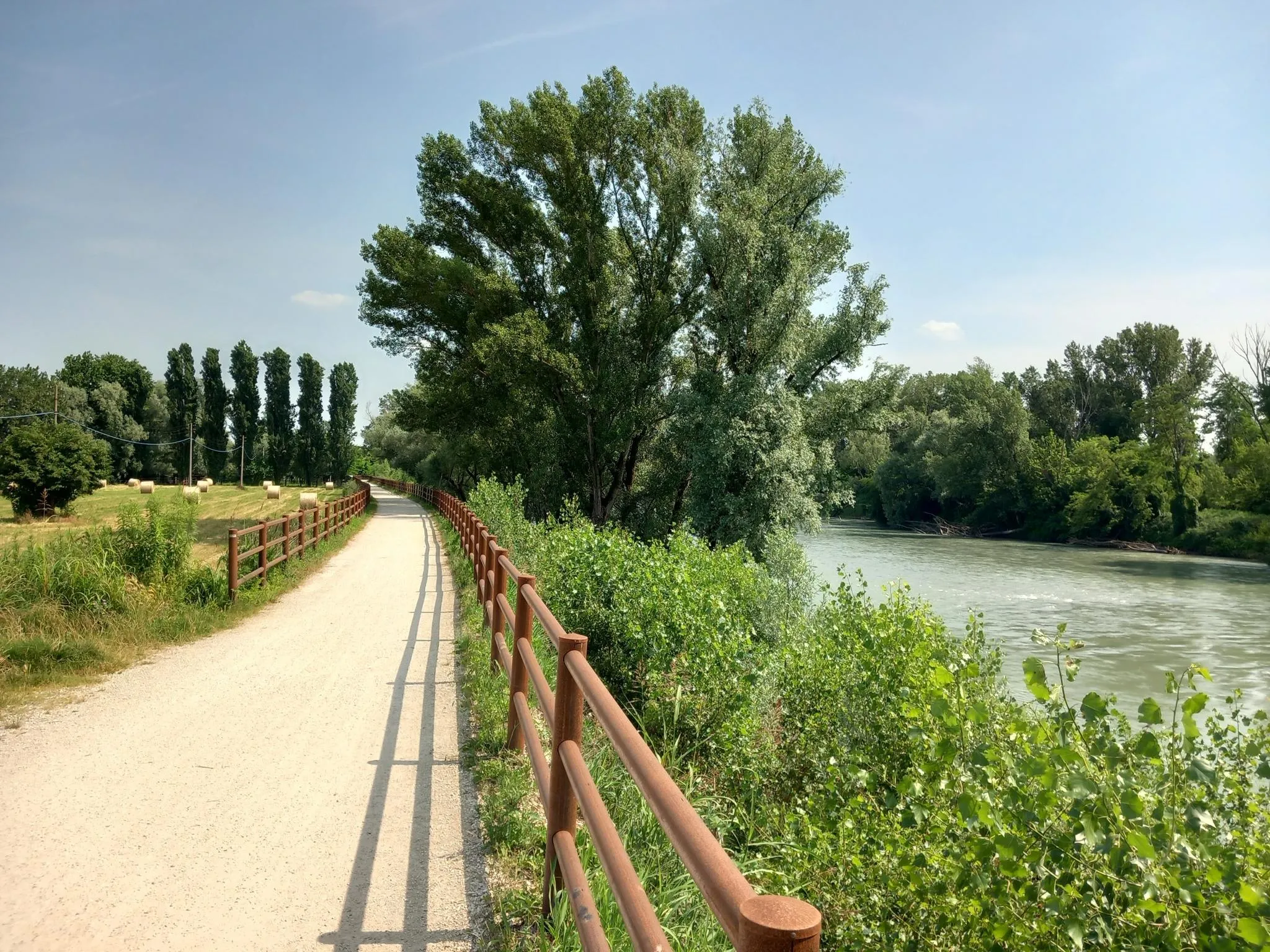
Via Postumia – Hike between the Tyrrhenian and Adriatic seas
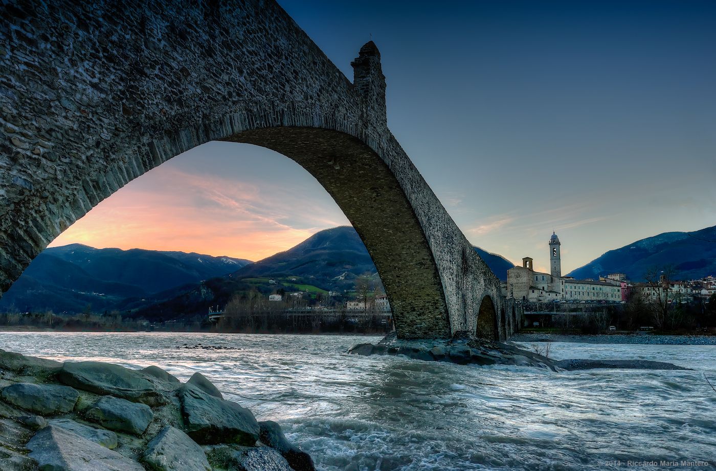
Hike from Milan to the sea – Path of the Celts and Ligurians
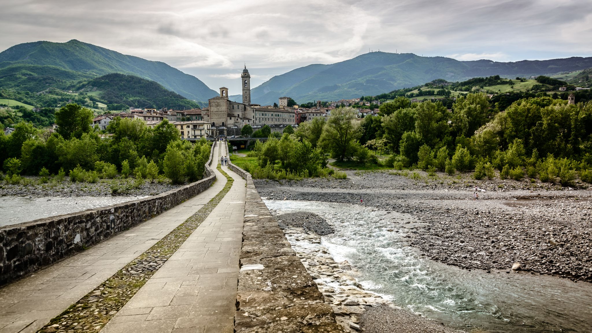
A historic hike from Pavia to Pontremoli – Via degli Abati
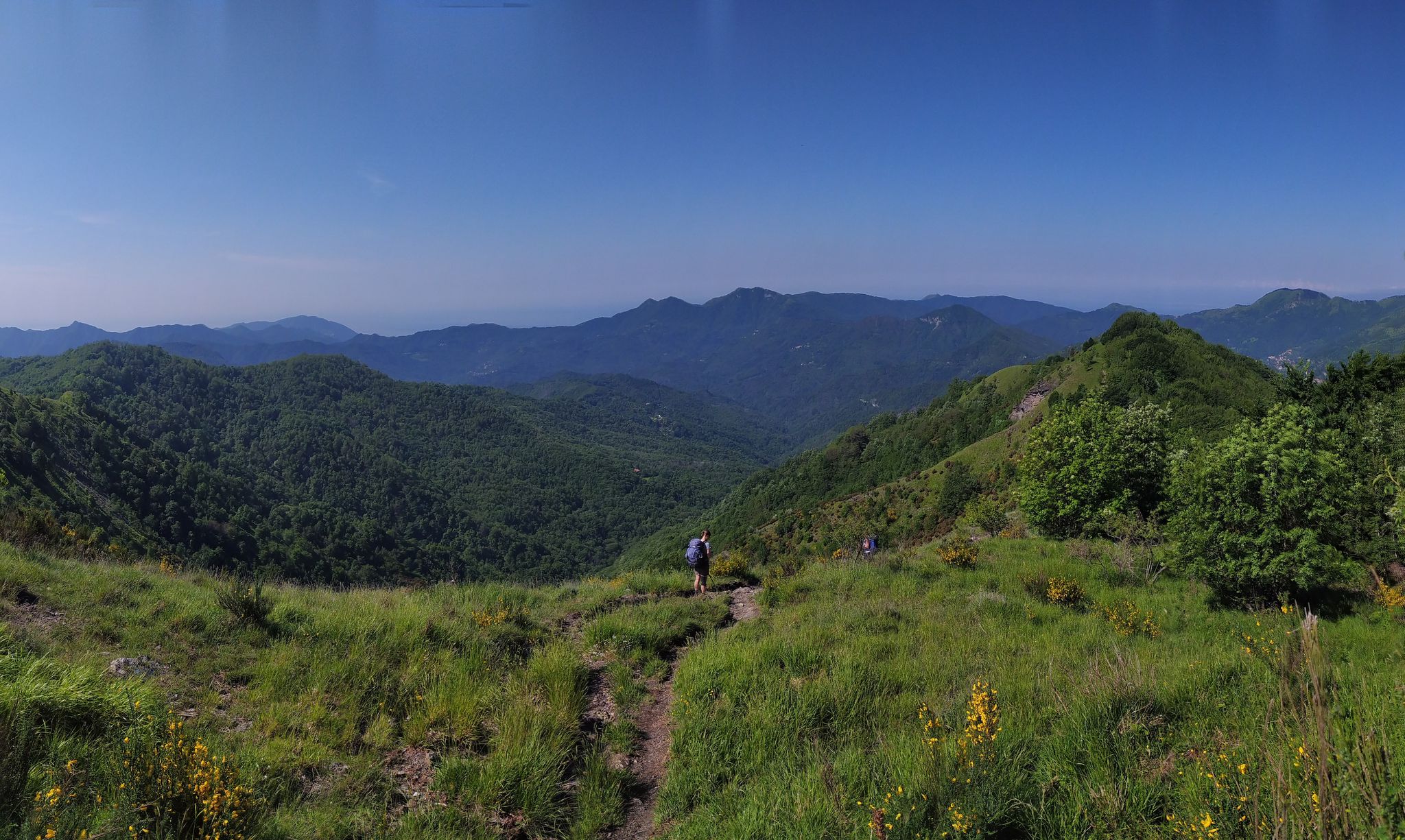
On the way to the sea – Italy’s Salt Road
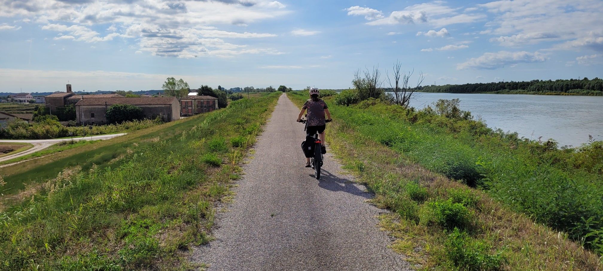
Ciclovie del Po — An all-round experience along Italy's longest river
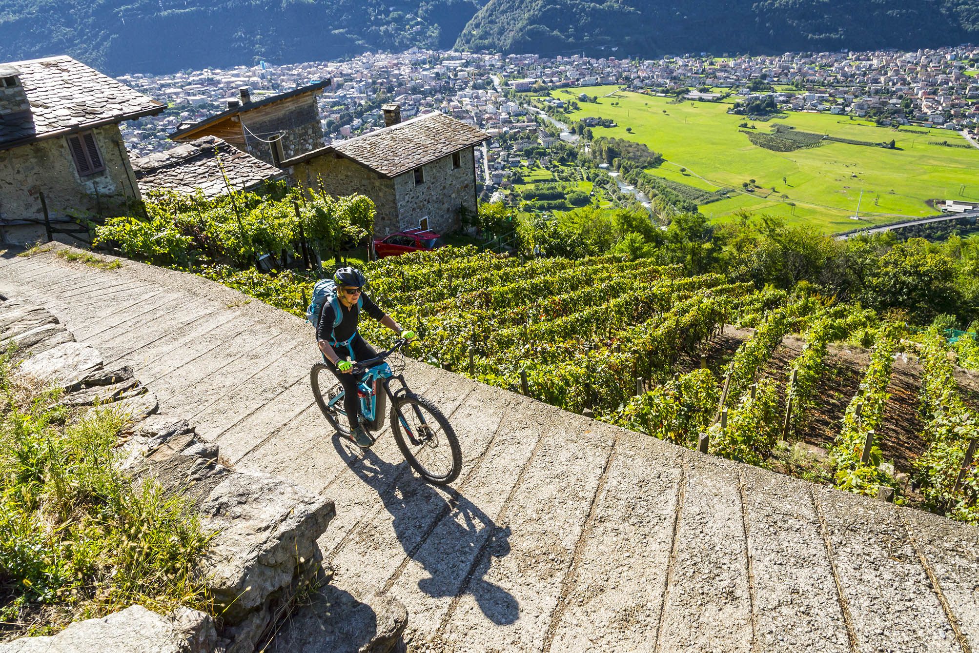
Cycling routes to discover authentic Lombardy

Apennine Cycle Route (Part 1) - From Liguria to Umbria
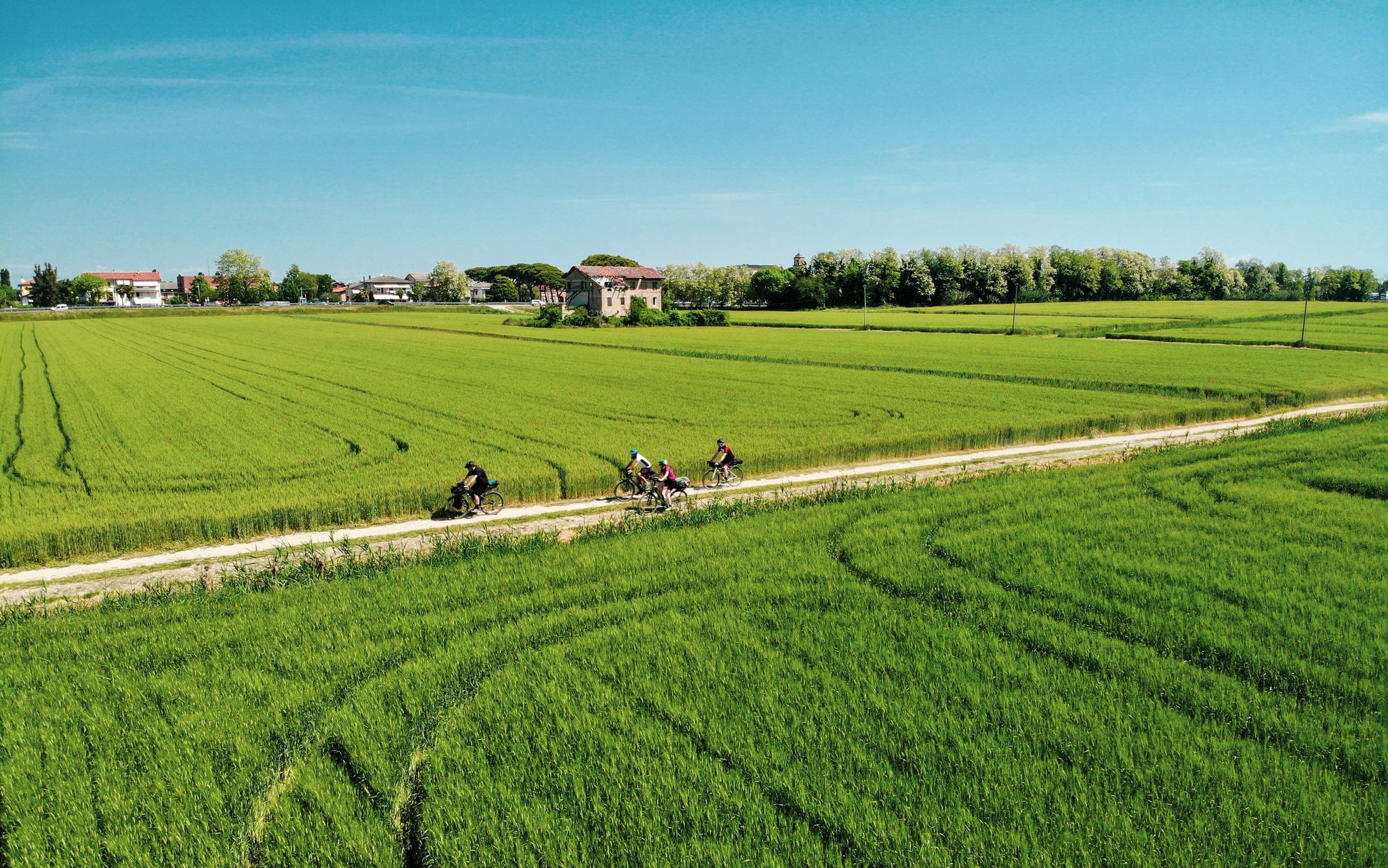
Ride through Italy’s Po Valley – a pilgrimage on the Via Postumia
Other adventures in Pavia


Tips from the Community


The plant, built in 1904 in Art Nouveau style, is located in the municipality of Vigevano in the province of Pavia, within the Ticino Park. Situated on the right bank of the Ticino River, it uses part of the river's waters, channeled into the loading basin via the Naviglio Sforzesco, the artificial canal that flows between the provinces of Novara and Pavia, built in the late 15th century at the behest of Ludovico Maria Sforza, known as "Il Moro." From here, passing through conduits and exploiting the 18-meter difference in height between the loading and discharge channels, the water powers the turbines. Source: https://www.enelgreenpower.com/it/impianti/operativi/centrale-idroelettrica-vigevano
0
0

The artifact, fed by the waters of the Roggia Mora Antianca, is filled with interesting historical and legend references to the figure of Leonardo da Vinci. In this context, the Ecomuseum houses an important permanent exhibition consisting of working wooden models of Leonardo's machines, curated by the cultural association "La Città Ideale," which organizes visits and special educational workshops.
2
0
The "Ludovico il Moro" hydroelectric power station in Vigevano, begun in 1904 and commissioned two years later, is a magnificent Art Nouveau building with capitals, friezes, and curious downpipes in the shape of a dragon's head.
2
0

The crypt of this cathedral has a soothing atmosphere!
1
0
A memorial to the laundresses. Thanks to Willem VS for his excellent descriptions!
1
0

Beautiful distant view of Pavia with the possibility of also seeing the Alps in the background
0
0

nice view from the bench, there is also a small picnic area
1
0
Frequently Asked Questions
How many bus station hiking trails are available in Pavia?
There are over 230 hiking routes accessible from bus stations in Pavia. These trails range from easy riverside walks to more challenging paths in the surrounding hills, offering a diverse experience for all skill levels.
What kind of terrain can I expect on bus station hikes around Pavia?
The terrain around Pavia is quite varied. You can expect flat, easy paths along the Ticino and Po rivers, rolling hills covered in vineyards in the Oltrepò Pavese, and even some more demanding sections as you approach the Apennine peaks. The Lomellina region offers unique landscapes with rice fields and protected wetlands.
What do other hikers say about the trails around Pavia?
The komoot community highly rates the trails around Pavia, with an average score of 4.4 stars from over 1800 ratings. Hikers often praise the peaceful natural settings, the accessibility of routes from public transport, and the diverse landscapes ranging from riverbanks to vineyards.
Are there easy or beginner-friendly hikes accessible from Pavia bus stations?
Yes, Pavia offers many easy and beginner-friendly hikes. For example, the Santa Sofia Loop Trail is an easy 7 km route with minimal elevation gain, perfect for a relaxed outing. Many routes along the Ticino River are also flat and suitable for all ages.
Are there circular routes available from Pavia bus stations?
Yes, many routes are designed as circular walks, allowing you to start and end at the same point, often conveniently near a bus stop. The From Molino del Conte to the Mora Bassa ecomuseum – loop tour is a great example of a moderate circular hike.
Can I find hikes that are suitable for families near Pavia bus stations?
Absolutely. Many of the easier routes along the rivers and in the flatter areas are ideal for families. These paths often have gentle gradients and offer opportunities to enjoy nature. Consider routes that explore the Ticino Park for a family-friendly experience.
Are the bus station hiking trails in Pavia suitable for dogs?
Most natural trails around Pavia are dog-friendly, especially those in rural areas and along the rivers. However, always keep your dog on a leash, especially near wildlife or agricultural areas, and be mindful of local regulations. The Siccomario Loop offers open spaces suitable for walks with your canine companion.
What natural features can I expect to see on bus station hikes in Pavia?
You'll encounter diverse natural beauty. The Ticino and Po rivers offer picturesque waterscapes, while the Oltrepò Pavese boasts rolling hills and extensive vineyards. The Lomellina region features unique rice fields and protected 'garzaie' (heronries) important for water bird species. You can also explore the Ticino River in the Lombardy Park of the Ticino Valley.
Are there any historical landmarks or attractions along these bus station trails?
Yes, Pavia's rich history is often intertwined with its trails. You might encounter sections of ancient pilgrimage routes like the Via Francigena or the Via Francisca. Within the city, the iconic Ponte Coperto (the Covered Bridge) in Pavia is a notable landmark. The Via Francisca del Lucomagno: Stage 8 is a moderate route that follows a historic path.
What is the best time of year to hike around Pavia?
Spring and autumn are generally the best seasons for hiking in Pavia. The weather is mild, and the landscapes are vibrant with blooming flowers or rich autumn colors. Summer can be hot, especially in the plains, so early mornings or late afternoons are preferable. Winter offers a different charm, particularly in the Oltrepò Pavese hills, but some higher trails might require appropriate gear.
Are there any challenging hikes accessible from Pavia bus stations?
While many routes are easy to moderate, the province extends into the Apennine peaks, offering more strenuous options for experienced hikers. These trails can be more demanding, requiring good fitness. For a moderate challenge, consider the Vaccarizza Loop Trail, which covers over 11 km.
Where can I find more information about the Oltrepò Pavese region for hiking?
The Oltrepò Pavese region is a significant draw for outdoor enthusiasts, known for its rolling hills and vineyards. You can find more detailed information about its extensive network of walking and cycling paths on the official tourism website: I Sentieri dell'Oltrepò Pavese.
Most popular routes in Pavia
Most popular attractions in Pavia

Get inspired with the komoot mobile app


Didn’t find what you were looking for?
Check out more Hikes throughout Pavia below and find the perfect route in your destination.
Explore more
Browse the best Hikes in other regions.
