The best city hikes and walks in the Grampian Mountains
4.5
(30532)
235,130
hikers
16
hikes
Urban hiking trails in the Grampian Mountains offer diverse experiences across Scotland's significant mountain range. The region features a landscape shaped by ancient geological formations, including deep glens and numerous rivers. While known for its towering peaks, the Grampians also encompass towns and coastal areas, providing varied terrain for urban exploration. These routes often follow established paths through settlements and along waterfronts.
Best urban hiking trails in the Grampian Mountains
- The most popular urban hiking route is Inverlochy Fort Ruins…
Last updated: June 26, 2026
3.9
(7)
143
hikers
3.74km
00:57
10m
10m
Easy hike. Great for any fitness level. Easily-accessible paths. Suitable for all skill levels.
1.0
(1)
28
hikers
Easy hike. Great for any fitness level. Easily-accessible paths. Suitable for all skill levels.

Sign up for free
5.0
(1)
16
hikers
5.47km
01:24
20m
20m
Easy hike. Great for any fitness level. Easily-accessible paths. Suitable for all skill levels.
4.0
(2)
15
hikers
1.45km
00:22
0m
0m
Easy hike. Great for any fitness level. Easily-accessible paths. Suitable for all skill levels.
13
hikers
Easy hike. Great for any fitness level. Easily-accessible paths. Suitable for all skill levels.
Get access to more routes and recommendations from other explorers.
Sign up for free
Already have an account?
Our route recommendations are based on thousands of hikes, rides, and runs completed by other people on komoot.
Start today with a free account
Your next adventure awaits.
Login or Signup
Popular around Grampian Mountains
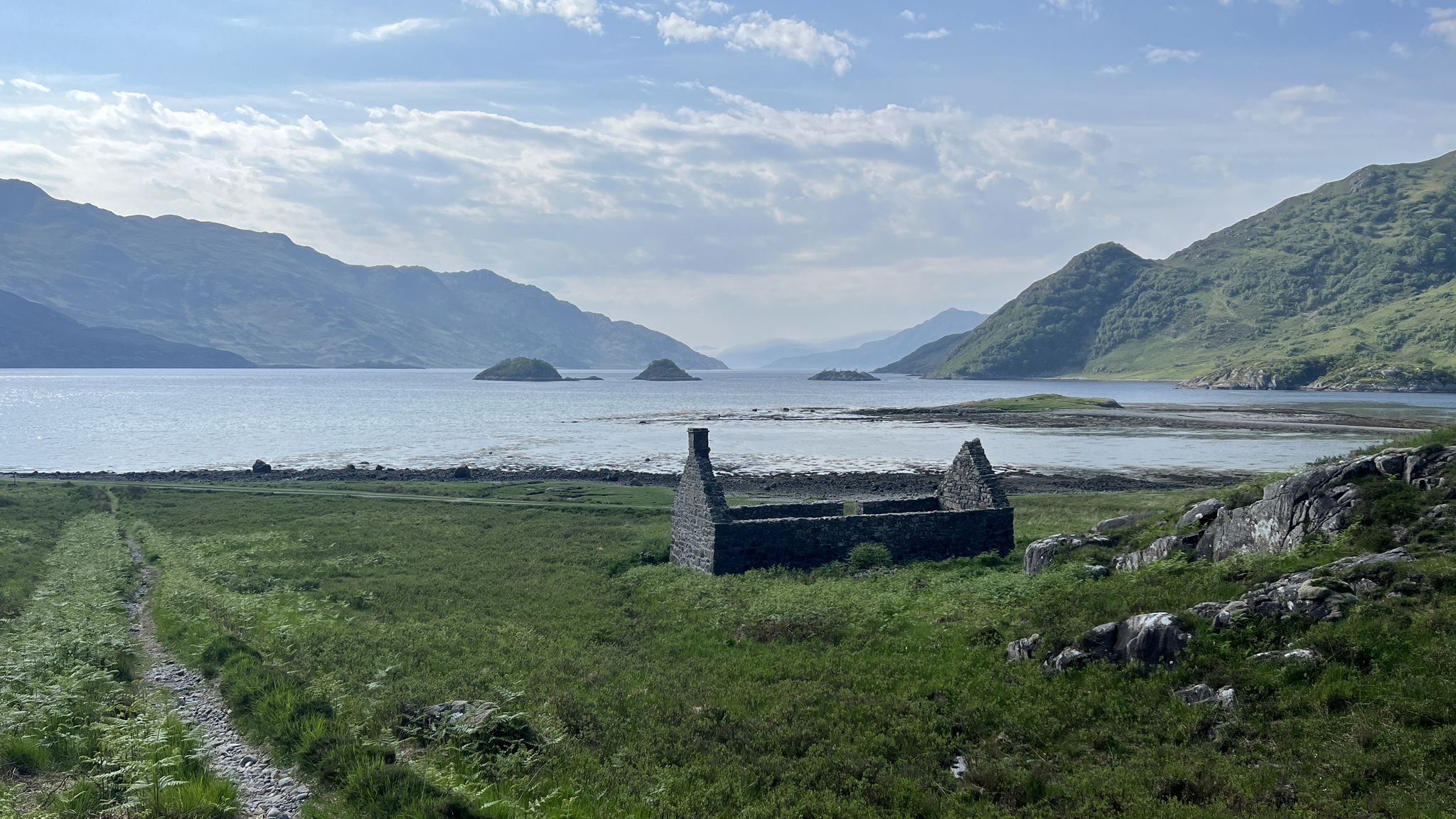
Cape Wrath Trail – Scotland’s wildest and most spectacular hiking route
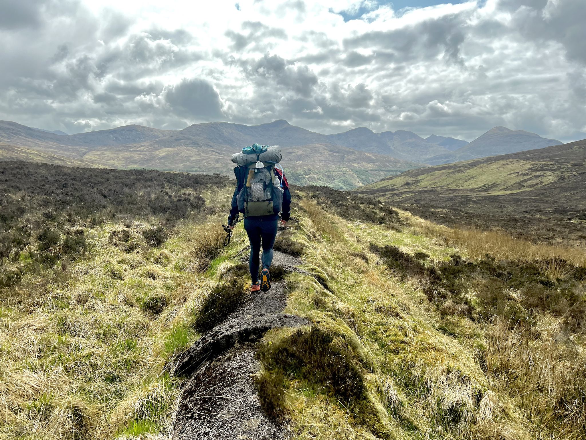
TGO Challenge 2023 – Coast to Coast: Oban to Montrose
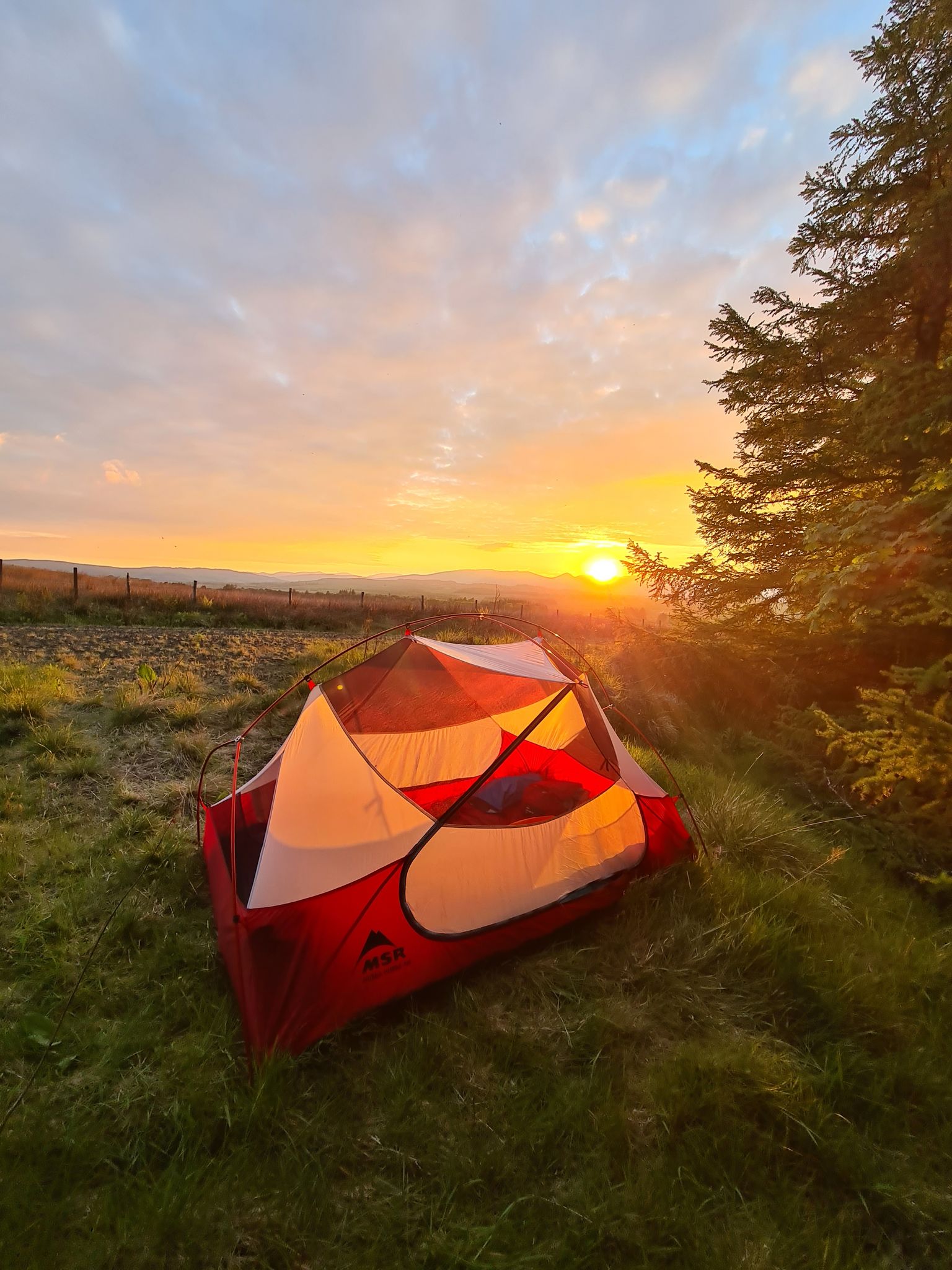
The John Muir Way — A conservationist's Scottish coast to coast
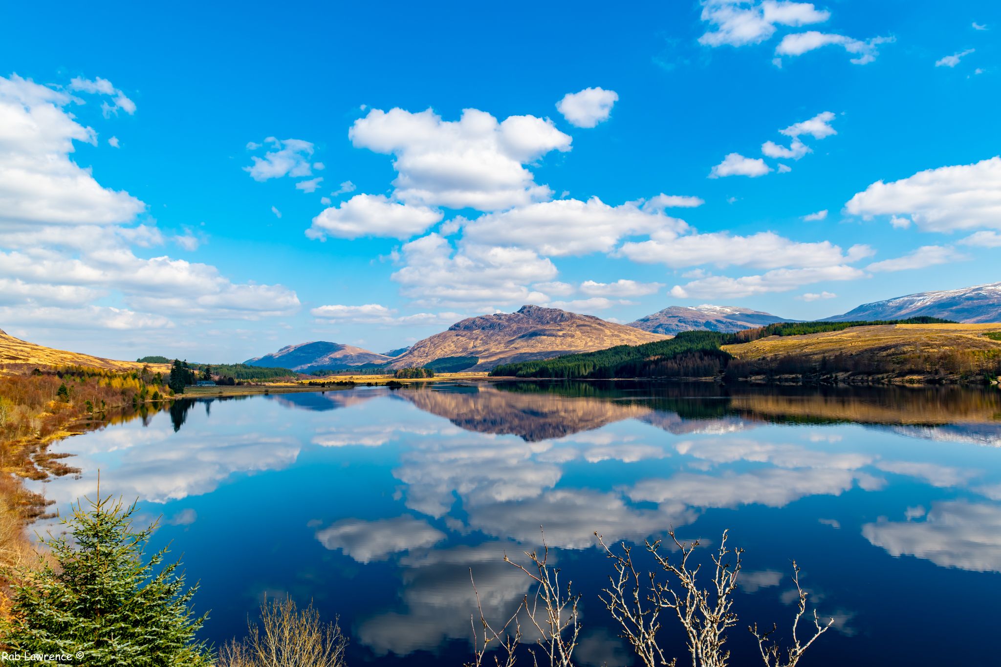
East Highland Way — Hike through Scotland's remote, mountainous heart
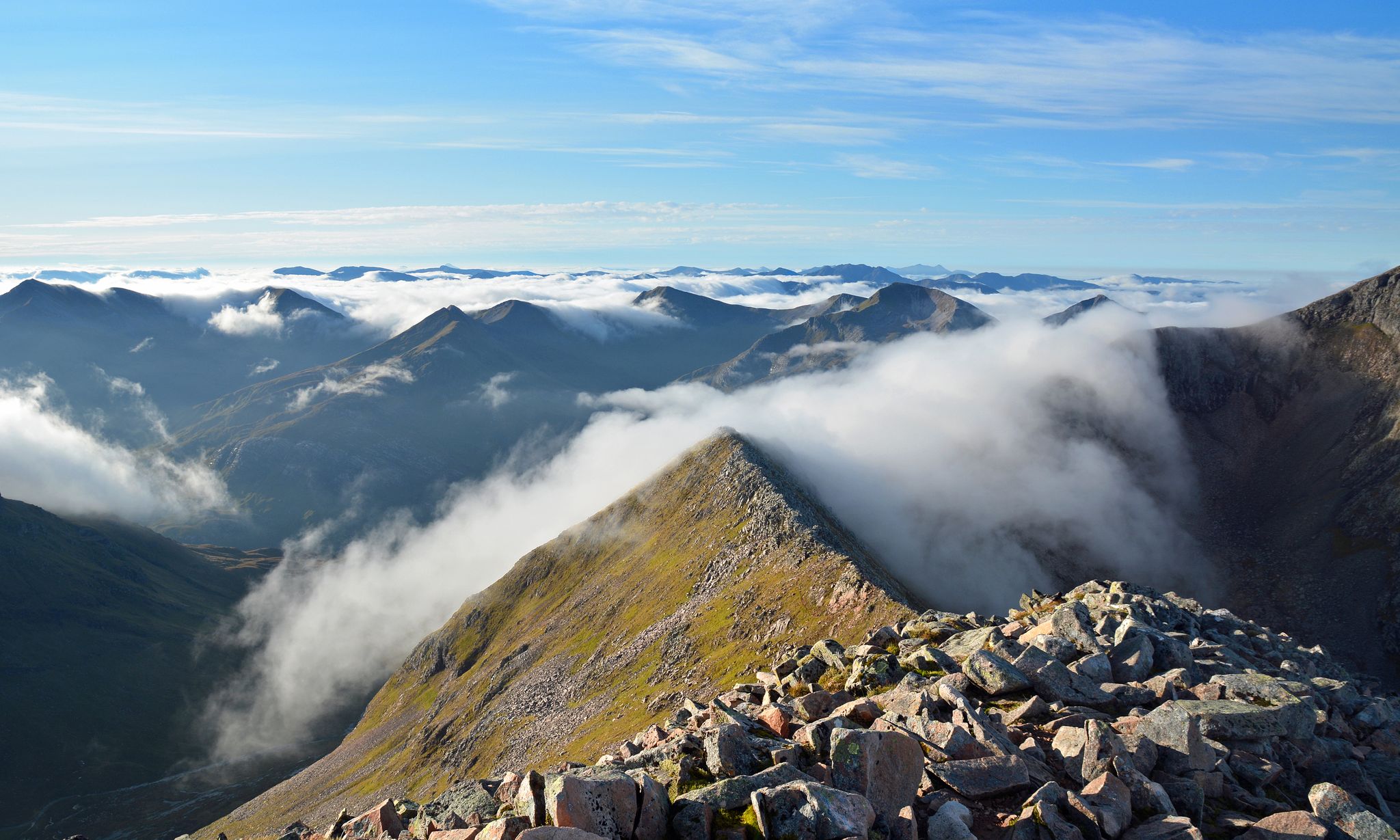
Charlie Ramsay Round — Feet in the clouds, hiking Scotland's Highlands
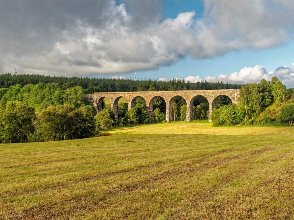
Dava Way — Hike an old railroad through a forgotten part of Scotland
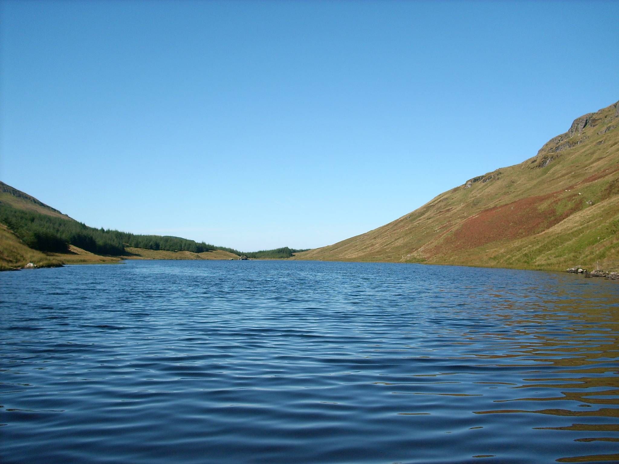
Loch Lomond and Cowal Way — Experience Scotland in 57 miles
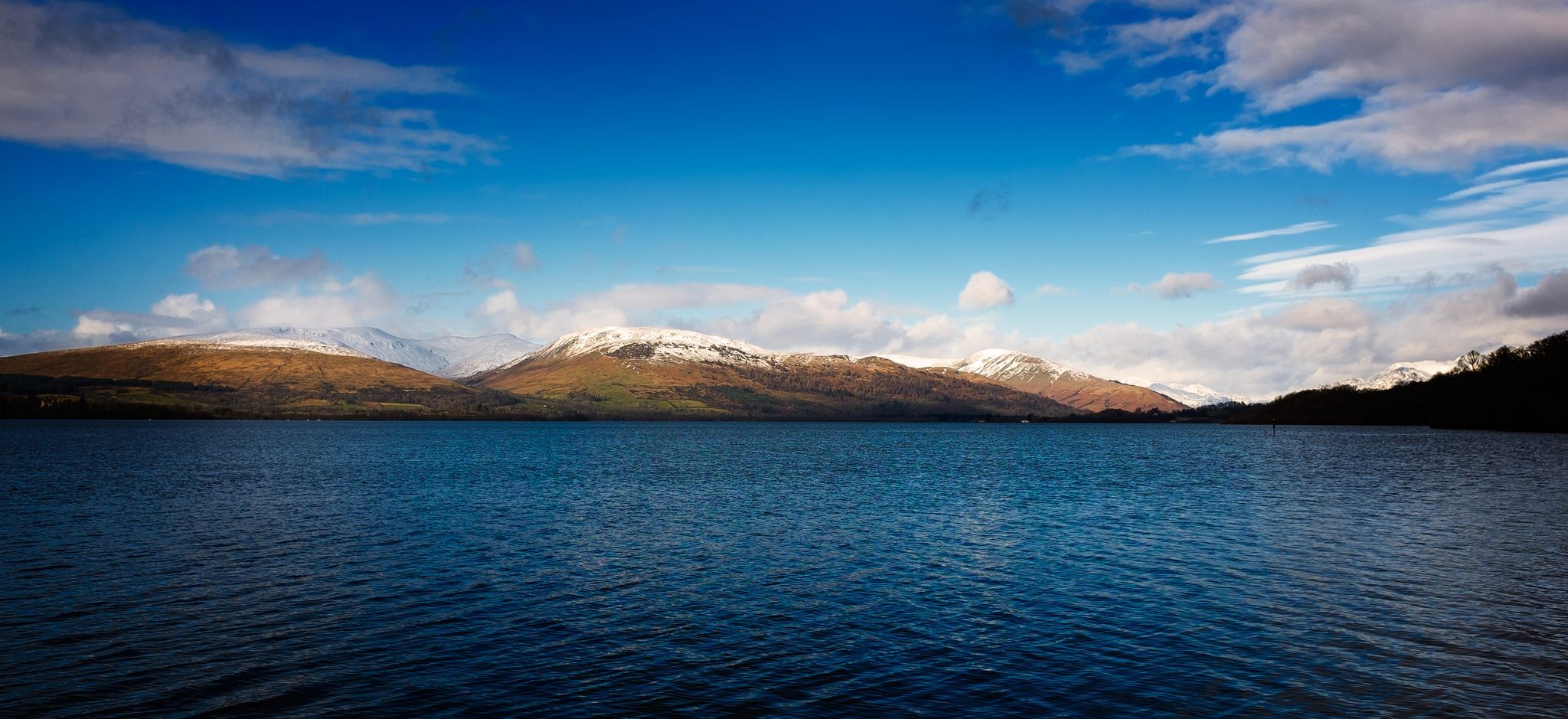
Three Lochs Way — A breathtaking hike from lowlands to Highlands
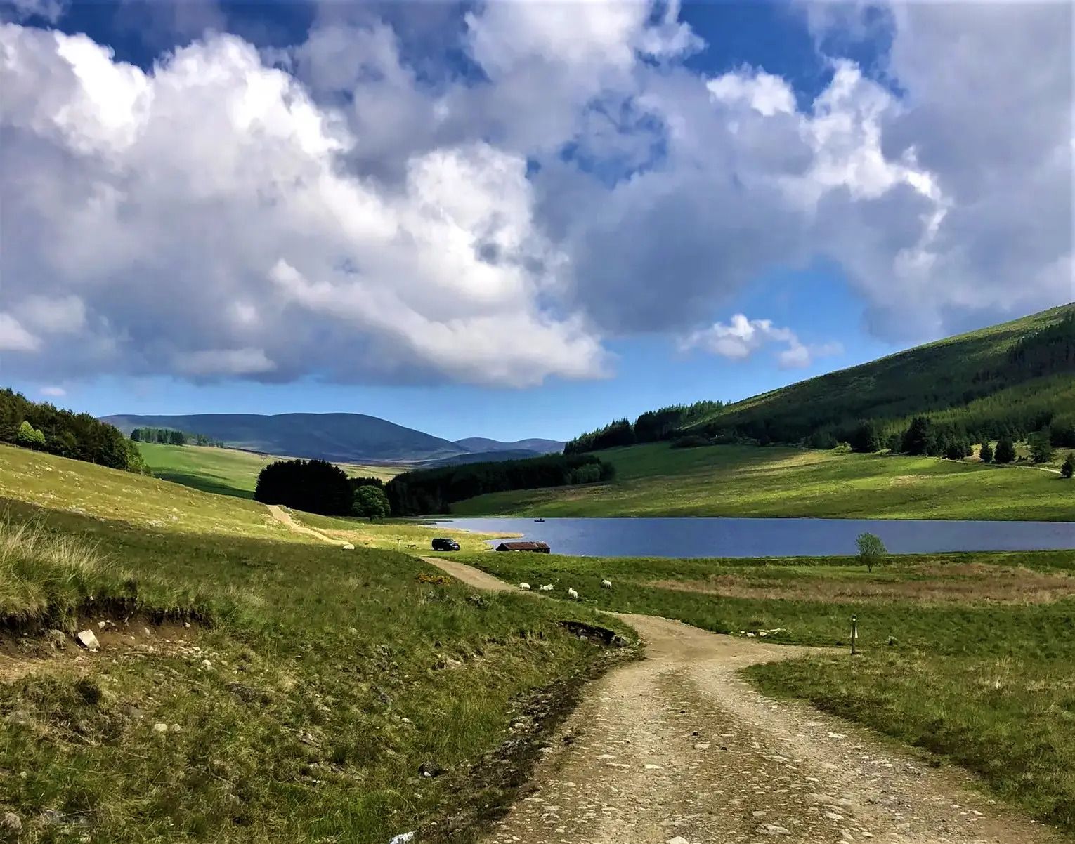
Cateran Trail — Hike old thieves' roads in a forgotten part of Scotland
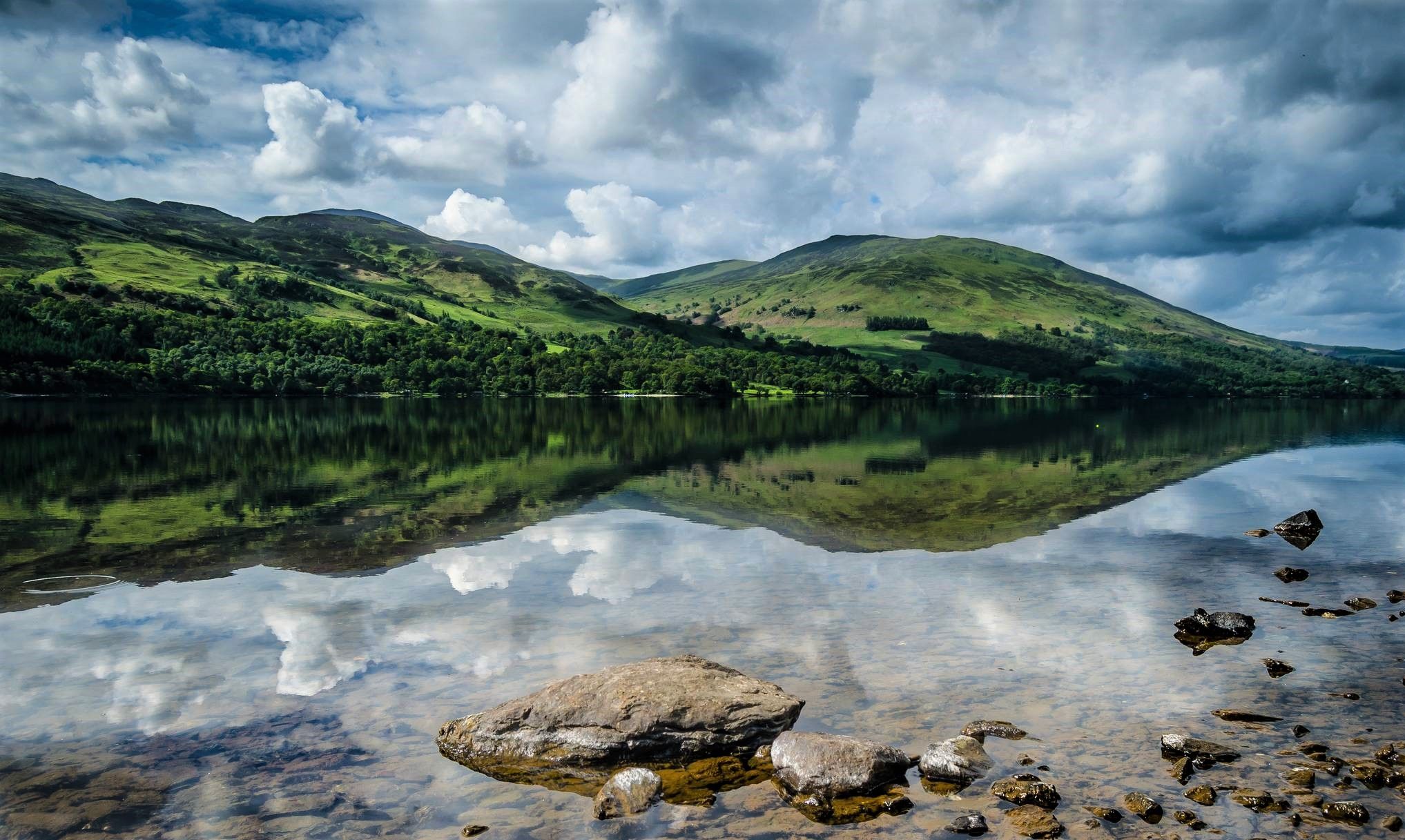
Rob Roy Way — An enchanting outlaw trail for Highland Rogues
Other adventures in the Grampian Mountains


Tips from the Community

Done! After over 150 kilometers and 7 stages, you reach the official end point of the West Highland Way. This is also marked as such. A selfie at the info board or the statue "The Wanderer with the Sore Feet" is mandatory :-)
0
0
Made it! After over 150km and 7 stages, you reach the end point of the West Highland Way. A selfie at the information board standing there, or at the statue "The Wanderer with the sore feet" is obligatory here :-)
0
0

The iron bridge over the tracks offers a beautiful view
3
0

The trains of the Strathspey Steam Railway start from this photogenic station
3
0

The northern end of the West Highland Way national trail is at the end of the high street in Fort William. The trail stretches 96 miles (154 Km) from Milngavie to Fort William. The statue “Man with Sore Feet” was made by David Annand and has marked the end since 2010. The West Highland Way Race normally ends at the leisure centre or the Nevis Centre.
0
0

The Greenock Ocean Terminal is an impressive port in Greenock, Scotland, that plays an important role in cruise tourism. The facility is modern and well-equipped, providing a pleasant experience for visitors. Its waterfront location is particularly impressive, allowing for beautiful views of the river and surrounding area. The terminal is well-organized, friendly, and helpful, making the process very pleasant for passengers. It's a great place to watch a cruise ship arrive or depart, or simply enjoy the maritime atmosphere. Overall, the Greenock Ocean Terminal is a modern and welcoming port that leaves a positive impression on visitors.
1
0

Good base for all sports, lots to do around and the best fish and chips 👌
0
0

Has to be done, Great Trip, Iconic photo to end in Fort William
0
0
Frequently Asked Questions
How many urban hiking trails are available in the Grampian Mountains?
There are 15 urban hiking trails detailed in this guide for the Grampian Mountains, offering a variety of experiences within the region's towns and cities.
Are there easy urban hikes suitable for beginners or families?
Yes, the Grampian Mountains offer many easy urban hikes. Out of the 15 trails in this guide, 14 are rated as easy, making them perfect for beginners or families. An example is the short and accessible Aviemore Train Station – Aviemore town centre loop from Aviemore, which is just over 1 km long.
What kind of attractions can I expect to see on urban hikes in the Grampian Mountains?
Urban hikes in the Grampian Mountains often blend natural beauty with historical and cultural sights. You might encounter historic ruins, scenic waterfronts, and local landmarks. For instance, the Inverlochy Fort Ruins – Fort William Harbour loop from Fort William takes you past significant historical sites. The region is also rich in castles, such as Loch an Eilein Castle or Balmoral Castle, which can be explored nearby.
Are there any circular urban walks in the Grampian Mountains?
Many of the urban trails in the Grampian Mountains are designed as convenient circular routes. For example, the Fort William War Memorial – Inverlochy Fort Ruins loop from Fort William offers a pleasant circular walk, allowing you to start and end in the same location without retracing your steps.
What do other hikers enjoy most about urban hiking in the Grampian Mountains?
The komoot community highly rates urban hiking in the Grampian Mountains, with an average score of 4.5 stars across over 28,000 ratings. Hikers often praise the accessibility of these trails, the blend of town and nature, and the opportunity to explore local history and culture within a manageable distance.
How long do urban hikes typically take in this region?
Urban hikes in the Grampian Mountains vary in length and duration, but many are relatively short, making them ideal for a leisurely stroll or a quick exploration. For example, the Fort William War Memorial – West Highland Museum loop from Fort William can be completed in under 30 minutes, while others like the View of Port of Greenock – Sealife Sculpture loop from Greenock might take around an hour and a half.
Is public transport available to access urban hiking trails?
Many urban hiking trails in the Grampian Mountains are located within or very close to towns and cities, making them easily accessible by public transport. Routes often start near train stations or bus stops, such as the Aviemore Train Station – Aviemore town centre loop from Aviemore, which begins directly from the station.
Are there urban hikes with scenic viewpoints?
Yes, even within urban settings, many trails offer rewarding scenic viewpoints. Depending on the specific route, you might find views over lochs, rivers, or coastal areas. The Grampian Mountains are known for their dramatic landscapes, and even lower-level urban walks can provide glimpses of the surrounding peaks and glens.
What is the best time of year for urban hiking in the Grampian Mountains?
The best time for urban hiking in the Grampian Mountains is generally during the summer months (June-August) when the weather is milder and daylight hours are longer. However, urban trails are often accessible year-round, offering different charms in spring, autumn, and even winter, provided you are prepared for changing weather conditions.
Are urban hiking trails in the Grampian Mountains dog-friendly?
Many urban trails in the Grampian Mountains are dog-friendly, allowing you to enjoy a walk with your canine companion. It's always advisable to keep dogs on a lead, especially in populated areas or near livestock, and to check for any specific local restrictions or signage along the route.
What should I wear for urban hiking in the Grampian Mountains?
For urban hiking in the Grampian Mountains, comfortable walking shoes are essential. Layers are recommended due to Scotland's changeable weather, even in urban areas. A waterproof jacket is always a good idea, regardless of the season, and consider a small backpack for water and snacks.
Most popular routes in the Grampian Mountains
Most popular attractions in the Grampian Mountains

Get inspired with the komoot mobile app


Explore more
Browse the best Hikes in other regions.
