The best traffic-free bike rides in Henry Coe State Park
4.7
(8)
883
riders
1
ride
No traffic road cycling routes in Henry Coe State Park traverse a vast and rugged landscape, characterized by rolling hills, high ridges, and steep canyons. The park spans 87,000 acres, offering diverse natural features and expansive natural parkland. Elevations within the park range from 710 feet to 3,560 feet, providing varied terrain for road cyclists. Many routes offer scenic reservoir views and wind through both narrow and open valleys.
Best no traffic road cycling routes in Henry Coe State Park
…Last updated: May 14, 2026
13
riders
30.0km
01:29
430m
430m
Moderate road ride. Good fitness required. Mostly well-paved surfaces and easy to ride.
4
riders
Easy road ride. Great for any fitness level. Mostly well-paved surfaces and easy to ride.

Sign up for free
64
riders
Moderate road ride. Good fitness required. Mostly well-paved surfaces and easy to ride.
5.0
(2)
48
riders
Moderate road ride. Good fitness required. Mostly well-paved surfaces and easy to ride.
27
riders
69.0km
03:34
680m
680m
Moderate road ride. Good fitness required. Some segments of this route may be unpaved and difficult to ride.
Our route recommendations are based on thousands of hikes, rides, and runs completed by other people on komoot.
Start today with a free account
Your next adventure awaits.
Login or Signup
Popular around Henry Coe State Park
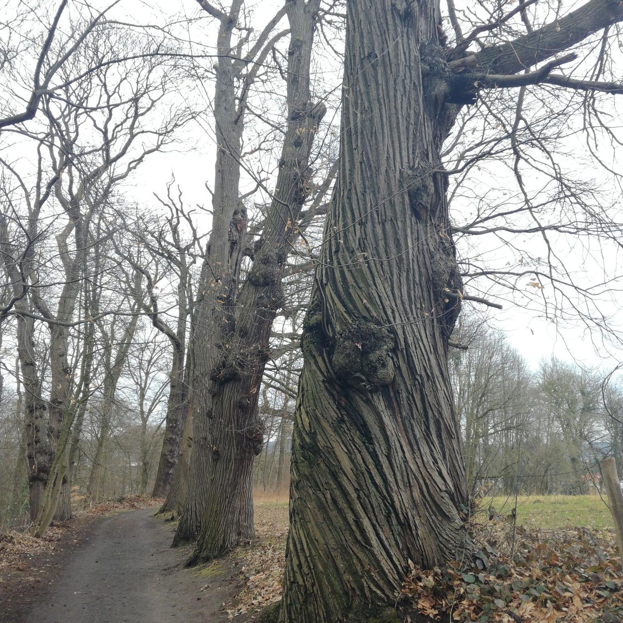
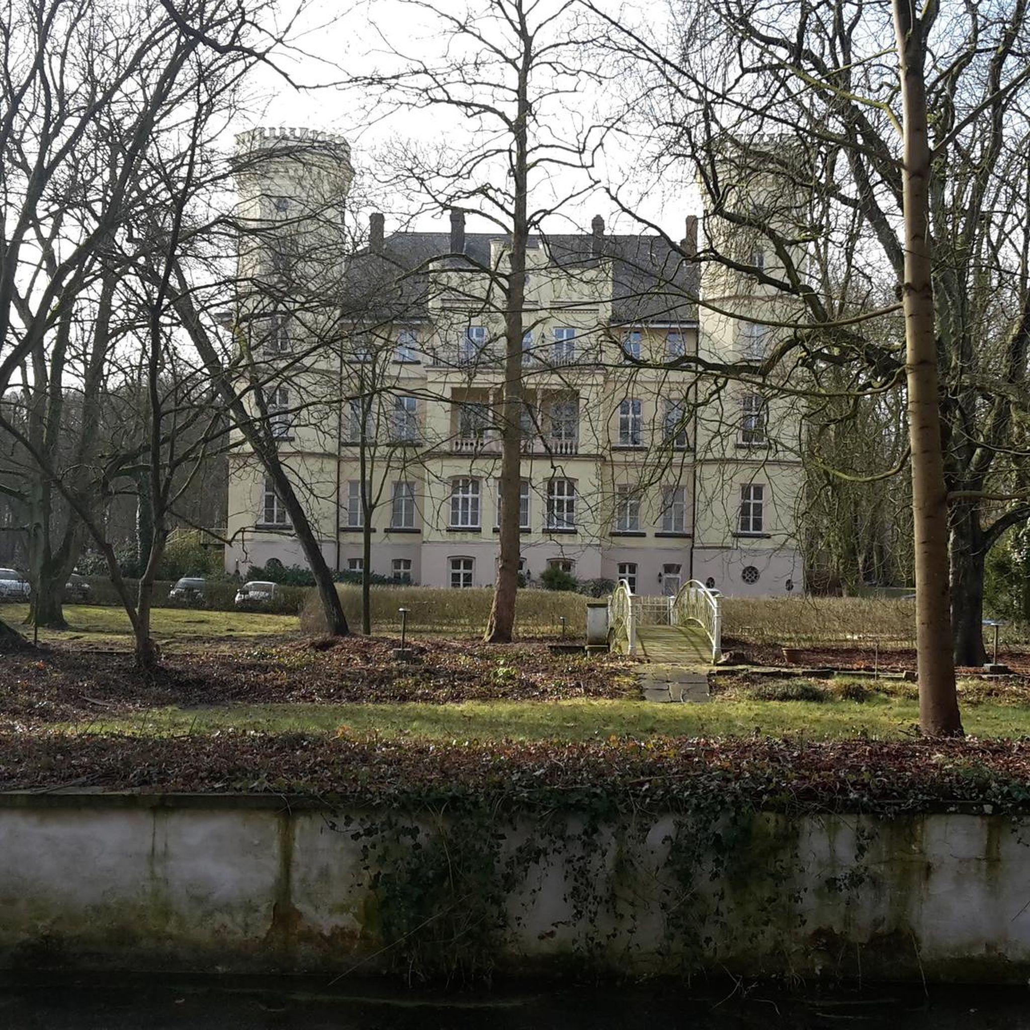
Tips from the Community

Metcalf Road is a steep but rewarding climb, popular among road cyclists. The route features challenging gradients, especially in the final stretch, and offers charming views of rolling hills to enjoy as you ascend.
0
0

San Felipe Road is a well-maintained and popular biking route. This section features a challenging incline that leads to a hill with unique views, making it an ideal spot to stop, rest your legs, and take in the scenery.
1
0

Chesbro Reservoir County Park is a 232-acre park that surrounds Chesbro Reservoir and is known for catch-and-release fishing. There is no swimming or boating allowed in the lake.
0
0
Chesbro Reservoir County Park is a 232-acre park that surrounds Chesbro Reservoir and is known for catch-and-release fishing. There is no swimming or boating allowed in the lake.
0
0

The 21-Mile House, at 21-Mile Park, was a tavern and stagecoach rest stop located 21 miles away from San Jose. The house was constructed in 1852 (although no longer here today) and was crucial for providing refreshments to horses and their riders. Today there is a bronze plaque to commemorate the site.
0
0
Gilroy Hot Springs is an old 5-star resort no longer in operation. Originally founded by a Mexican Shepard in the 1860's, the resort passed hands a few times and was finally purchased by California State Parks in 2003.
0
0
The 21-Mile House, at 21-Mile Park, was a tavern and stagecoach rest stop located 21 miles away from San Jose. The house was constructed in 1852 (although no longer here today) and was crucial for providing refreshments to horses and their riders. Today there is a bronze plaque to commemorate the site.
0
0
West Little Llagas Creek Trail is a nicely paved multi use path with benches and parks along the way. This is a great option to stay off the main roads and follow along a creek.
0
0
Frequently Asked Questions
How many no-traffic road cycling routes are available in Henry Coe State Park?
There are several dedicated no-traffic road cycling routes in and around Henry Coe State Park. This guide features five distinct routes, offering a variety of distances and difficulty levels for you to explore.
What is the best time of year to go road cycling in Henry Coe State Park?
The most enjoyable times for road cycling in Henry Coe State Park are during the spring and fall seasons. These periods offer more temperate weather. Summers can be very hot and dry, while winters are wet, potentially making some seasonal creeks impassable. Spring also brings a spectacular display of wildflowers.
Are there any easy no-traffic road cycling routes suitable for beginners?
Yes, for those looking for an easier ride, consider the Site of 21-Mile House – 21 Mile Park loop from Morgan Hill Bible Church. This route is just over 9 kilometers long with minimal elevation gain, making it a great option for a relaxed ride.
What kind of terrain and elevation can I expect on these routes?
The road cycling routes in and around Henry Coe State Park feature rolling hills and scenic views. While some routes are relatively flat, others involve moderate climbs. For example, the Coyote Lake Entrance – Mendoza Ranch Entrance loop includes over 380 meters of elevation gain, offering a good workout amidst the park's rugged landscape.
What can I see along the no-traffic road cycling routes in Henry Coe State Park?
While cycling, you'll experience expansive natural parkland, reservoir views, and diverse landscapes. The park is known for its vibrant wildflowers from February to May after a rainy winter. You might also spot various wildlife like deer and bobcats. For historical context, the Coe Ranch Headquarters offers exhibits on ranching life.
Are there any loop routes for road cycling?
Yes, many of the routes are designed as loops, allowing you to start and end at the same point. An example is the Chesbro Reservoir County Park loop from Morgan Hill, which takes you around the reservoir for a scenic ride.
What do other road cyclists enjoy most about cycling in this area?
The komoot community highly rates the cycling experience in this region, with an average score of 4.75 stars from 13 ratings. Reviewers often praise the quiet roads, beautiful natural scenery, and the sense of escape offered by these no-traffic routes.
Are e-bikes allowed on the road cycling routes?
Yes, Class 1 e-bikes (pedal-assist only) are generally permitted on trails and roads where bicycle riding is allowed within Henry W. Coe State Park. However, it's always a good idea to check specific trail regulations as certain areas near the Coe Ranch Entrance and Orestimba Wilderness are closed to all bicycles.
Where can I find parking or access points for these routes?
Access points vary by route. For instance, the Coyote Lake Entrance – Mendoza Ranch Entrance loop starts from the Hunting Hollow Trailhead. Other routes may begin near towns like Morgan Hill or Live Oak High School. Always check the specific route details for recommended starting locations and parking information.
Are there any longer, more challenging no-traffic road cycling routes?
For cyclists seeking a longer and more challenging experience, the West Little Llagas Creek Trail – Site of 21-Mile House loop from Morgan Hill covers over 66 kilometers with nearly 500 meters of elevation gain, providing a substantial ride through varied landscapes.
Can I combine road cycling with other activities in Henry Coe State Park?
Absolutely! Henry W. Coe State Park is vast and offers many outdoor activities. After your ride, you could explore some of the park's hiking trails like Flat Frog Trail or Middle Ridge Trail. The park also has numerous small lakes and ponds where fishing is a popular activity.
Most popular routes in Henry Coe State Park
Most popular attractions in Henry Coe State Park

Get inspired with the komoot mobile app


Explore more
Browse the best Road cycling routes in other regions.
