The best traffic-free bike rides in Gunpowder Falls State Park
4.6
(23)
713
riders
40
rides
No traffic road cycling routes in Gunpowder Falls State Park traverse a diverse landscape characterized by stream valleys, rugged interior slopes, and extensive forests. The park spans over 18,000 acres, encompassing the Big and Little Gunpowder Falls and the Gunpowder River. This region offers a variety of terrain, from flat rail trails to routes with significant elevation gain, making it suitable for different road cycling preferences.
Best no traffic road cycling routes in Gunpowder Falls State Park
- The most popular…
Last updated: October 10, 2026
5.0
(1)
53
riders
44.3km
02:25
700m
700m
Moderate road ride. Good fitness required. Mostly well-paved surfaces and easy to ride.
5.0
(1)
30
riders
Moderate road ride. Good fitness required. Mostly well-paved surfaces and easy to ride.

3
riders
52.1km
02:49
750m
750m
Moderate road ride. Good fitness required. Some segments of this route may be unpaved and difficult to ride.
3
riders
55.5km
02:56
710m
710m
Moderate road ride. Good fitness required. Some segments of this route may be unpaved and difficult to ride.
28
riders
Moderate road ride. Great for any fitness level. Some segments of this route may be unpaved and difficult to ride.
Get access to more routes and recommendations from other explorers.
Already have an account?
Our route recommendations are based on thousands of hikes, rides, and runs completed by other people on komoot.
Start today with a free account
Your next adventure awaits.
Popular around Gunpowder Falls State Park

Tips from the Community

I noticed the hours are from dawn to dusk. No hiking today, but I have enjoyed a good hike here. I couldn't find a water fountain on my route though?
0
0

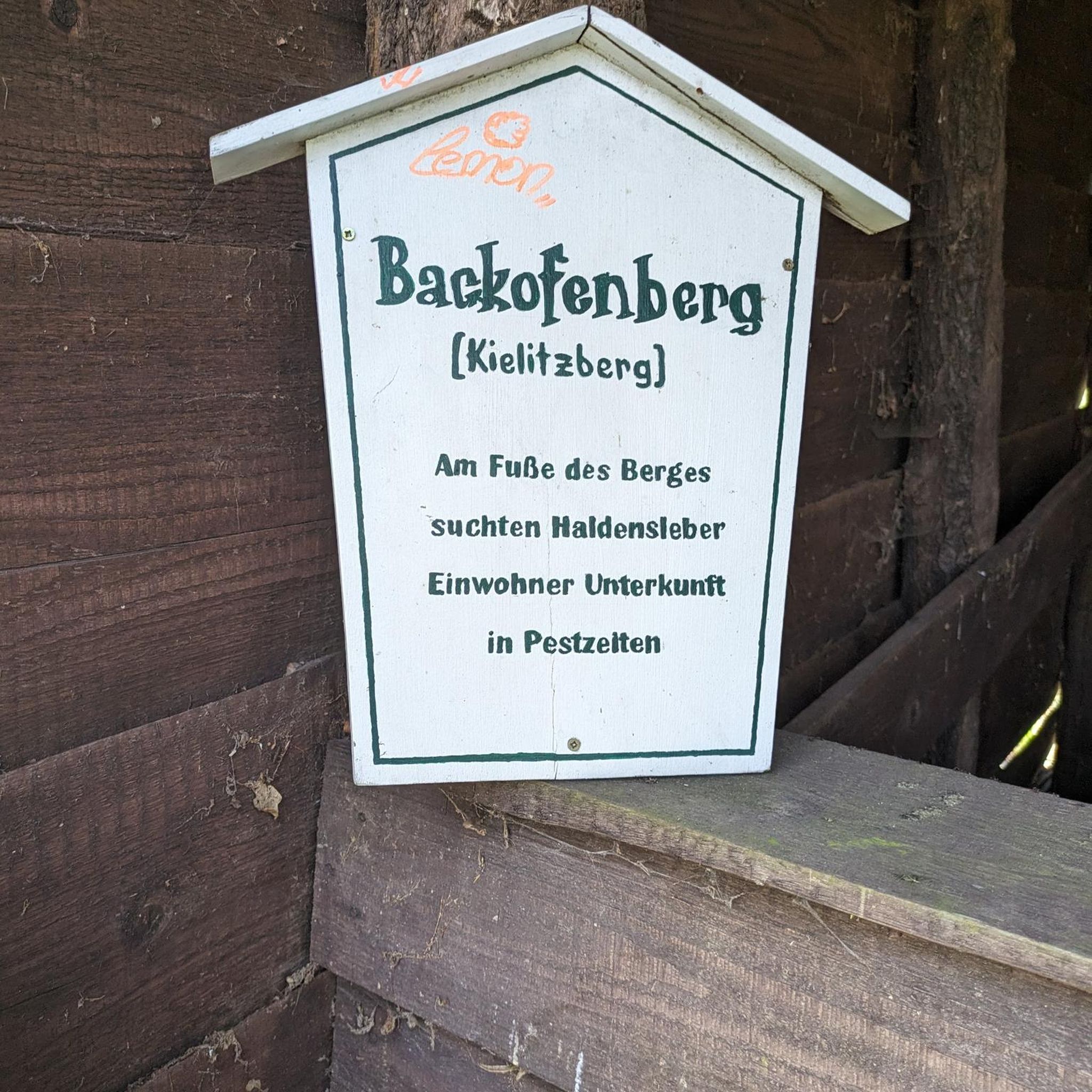
As you ride along the NCR Trail there is an unexpected sight: a hillside full of gnomes and gnome homes! The Gnome Garden is a fun little local landmark that is great for kids and adults alike to stop at as you ride.
0
0

Cute garden of gnomes guarding the cycleway and watching over cyclists on their journeys
0
0

If you're cycling in the area or on the Torrey C. Brown Trail, you'll likely pass by this spot where there's a metal deck bridge over the Gunpowder Falls. Although it's not possible to stop in the middle to enjoy the views over the river as cars are passing and it's a single-lane bridge, on one side, there's a small area with grass where you can take a short break.
0
0

At 1,500 acres, Prettyboy Reservoir is a huge lake in Maryland. The WMA it's a part of totals 7,380 acres and is home to tons of species of fish, birds, and plants. There are a number of bridges that you can bike across and get views of the water.
0
0

The Marshy Point Nature Center is situated between Dundee Creek and Saltpeter Creek and features multiple trails from the Nature Center's parking lot. They lead through the marshlands of the area and offer spectacular vistas over the water from various viewing points.
0
0

The trailhead here leads to a couple of different easy blazed trails with great views of the reservoir from the end. If you drive a little further east along the road you also get great views of the water via iconic Dunning Bridge. The trail system is closed during hunting season. You can find more information here: https://dnr.maryland.gov/wildlife/Pages/publiclands/central/prettyboy.aspx.
0
0
Frequently Asked Questions
How many traffic-free road cycling routes are available in Gunpowder Falls State Park?
There are over 40 dedicated traffic-free road cycling routes in Gunpowder Falls State Park, catering to various skill levels. You'll find a good mix of moderate routes, with a few easier and more challenging options available.
What is the best time of year for traffic-free road cycling in Gunpowder Falls State Park?
Spring and fall generally offer the most pleasant conditions for traffic-free road cycling, with mild temperatures and vibrant scenery. Summer can be enjoyable, but be prepared for warmer weather. Winter cycling is possible, but some services or trail conditions might vary.
Are there easy, traffic-free road cycling routes suitable for beginners or families?
Yes, the park offers several easy, traffic-free routes perfect for beginners and families. The Hammerman Area – Marshy Point Nature Center loop from Bowleys Quarters is a moderate option with minimal elevation gain, providing a smooth ride through scenic areas. The Torrey C. Brown Rail Trail is also an excellent choice for a flat, accessible experience.
Can I find challenging traffic-free road cycling routes in the park?
For those seeking a challenge, Gunpowder Falls State Park does offer traffic-free routes with significant elevation. For example, the Gunpowder Falls – Prettyboy Reservoir loop from Cedar Grove features over 700 meters of elevation gain over its 44 km distance, providing a robust workout on paved surfaces.
What natural features or landmarks can I see along the traffic-free road cycling routes?
Many routes offer views of the Big and Little Gunpowder Falls and the Gunpowder River. The Loch Raven Reservoir loop from Parkville provides scenic views of the reservoir. You can also explore areas near the Jerusalem Mill, a historic 18th and 19th-century Quaker settlement, or pass by the Jericho Covered Bridge.
What is the Torrey C. Brown Rail Trail like for traffic-free road cycling?
The Torrey C. Brown Rail Trail, formerly the NCR Trail, is a standout for traffic-free cycling. It's a 19.7-mile flat, paved route extending north from Ashland to the Pennsylvania state line, offering a smooth and scenic ride through historic communities. The Sparks Bank Nature Center, located along the trail, provides interpretive displays and activities.
Where can I park to access the traffic-free road cycling routes?
Parking is available at various access points throughout Gunpowder Falls State Park. For routes like the Torrey C. Brown Rail Trail, you can find parking near Sparks Bank Nature Center or other trailheads along its length. Specific route descriptions on komoot often include details about starting points and parking availability.
Are dogs allowed on the traffic-free road cycling routes?
Yes, dogs are generally allowed on trails within Gunpowder Falls State Park, including many traffic-free cycling routes like the Torrey C. Brown Rail Trail, provided they are kept on a leash. Always check specific park regulations or trail signage for any exceptions.
Are there any circular, traffic-free road cycling routes?
Yes, there are several excellent circular routes designed for road cyclists seeking traffic-free experiences. Examples include the Prettyboy Dam – Prettyboy Reservoir loop from Prettyboy Elementary School and the Sparks Bank Nature Center – Glencoe Road metal bridge loop from Glencoe, both offering engaging loops.
What do other road cyclists enjoy most about the traffic-free routes in Gunpowder Falls State Park?
The komoot community highly rates the traffic-free road cycling in Gunpowder Falls State Park, with an average score of 4.49 out of 5 stars. Reviewers often praise the peaceful, scenic environment, the well-maintained paved surfaces, and the variety of routes that cater to different fitness levels, especially the accessible nature of the Torrey C. Brown Rail Trail.
Are there cafes or places to stop for refreshments along the traffic-free routes?
While many routes are primarily natural, some areas, particularly along the Torrey C. Brown Rail Trail, pass through or near small towns like Monkton and Sparks where you can find cafes or small shops for refreshments. It's always a good idea to carry water and snacks, especially on longer rides.
Most popular routes in Gunpowder Falls State Park
Most popular attractions in Gunpowder Falls State Park

Get inspired with the komoot mobile app


Explore more
Browse the best Road cycling routes in other regions.
