The best hikes from bus stations in Wye Valley AONB
4.5
(2105)
15,409
hikers
252
hikes
Bus station hiking trails in Wye Valley AONB offer access to a landscape defined by the meandering River Wye, which has carved deep gorges and impressive limestone cliffs. The region features extensive woodlands, including ancient broad-leaved forests, providing varied terrain and shaded paths. Elevations range from intimate riverside paths to elevated viewpoints, offering diverse perspectives of the valley. This area is characterized by its unique blend of riverine scenery, dense forests, and dramatic geological formations.
Best bus station hiking trails…
Last updated: May 13, 2026
4.5
(17)
100
hikers
7.04km
01:52
70m
70m
Easy hike. Great for any fitness level. Easily-accessible paths. Suitable for all skill levels.
4.7
(13)
69
hikers
8.56km
02:12
40m
40m
Moderate hike. Good fitness required. Easily-accessible paths. Suitable for all skill levels.

Sign up for free
4.9
(13)
66
hikers
13.4km
03:33
140m
140m
Moderate hike. Good fitness required. Easily-accessible paths. Suitable for all skill levels.
4.8
(5)
13
hikers
23.0km
06:08
260m
260m
Hard hike. Very good fitness required. Easily-accessible paths. Suitable for all skill levels.
4.6
(52)
319
hikers
14.3km
04:17
430m
430m
Moderate hike. Good fitness required. Easily-accessible paths. Suitable for all skill levels.
Get access to more routes and recommendations from other explorers.
Sign up for free
Already have an account?
Our route recommendations are based on thousands of hikes, rides, and runs completed by other people on komoot.
Start today with a free account
Your next adventure awaits.
Login or Signup

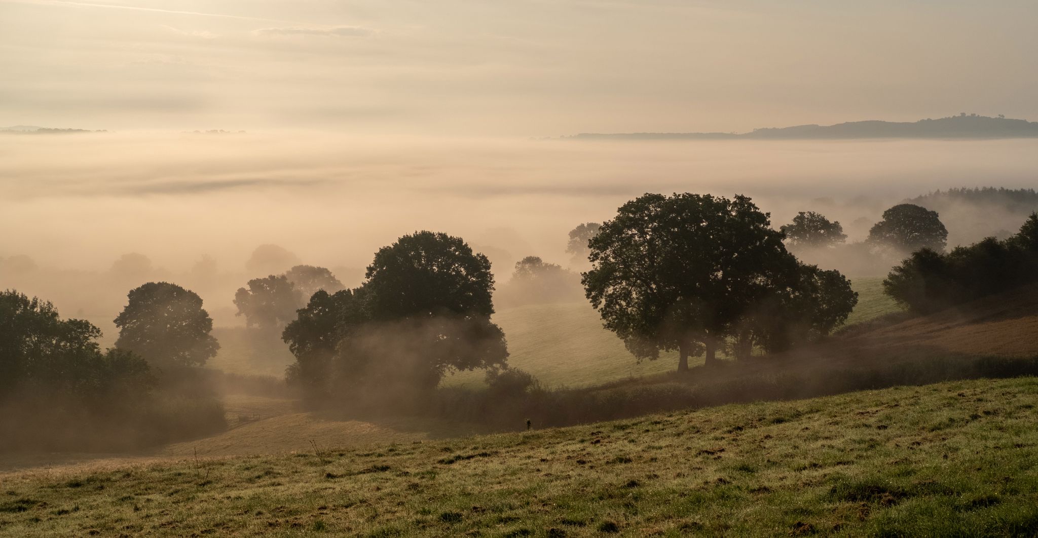
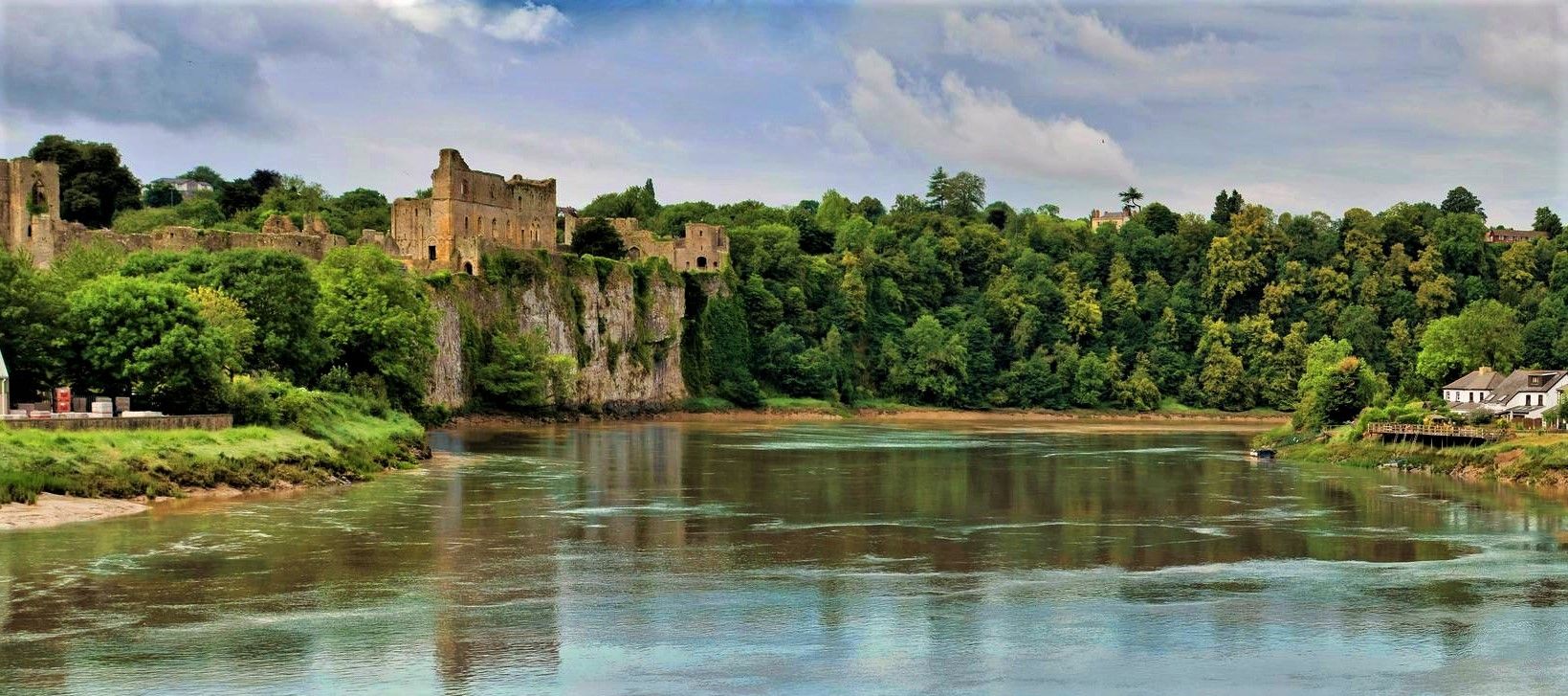
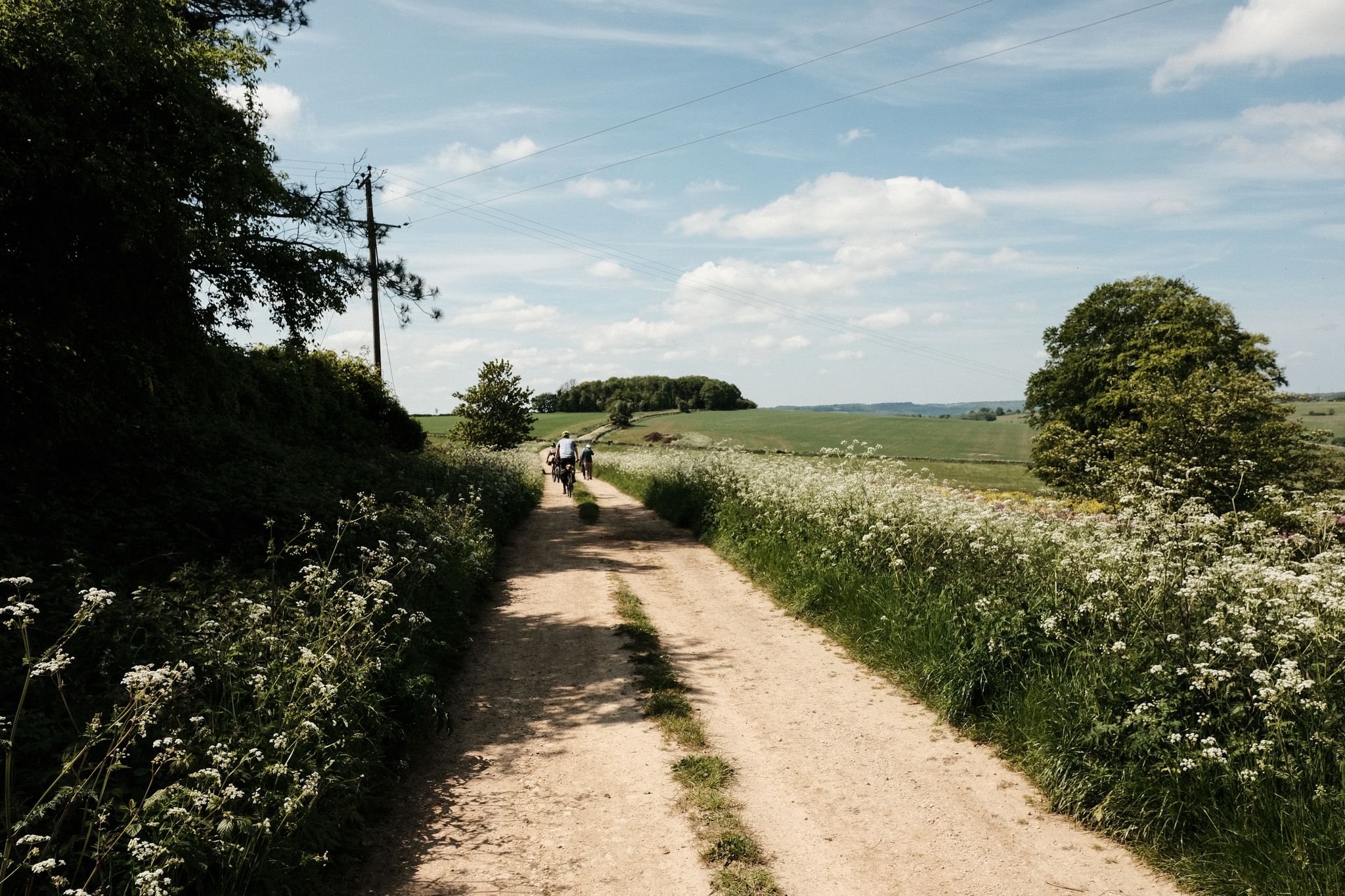
Other adventures in Wye Valley AONB


Tips from the Community

This unusual and eyecatching church up on it's hill dominates the village of Hoarwithy, and it's most spectacular feature is the Italianate tower.
0
0
According to Harper Bridges - This bridge was commissioned by the congregations of the churches of Sellack Boat and King’s Caple and built in 1895. The towers are of tubular cast iron, with nameplate transoms embossed “Louis Harper AIMCE, Maker, Aberdeen”. The original cables to common anchorages are still in place, as are their hangers. However, at some stage (nobody seems to know when or why) further short cables were clamped to the original, presumably to support areas of wear and avoid cable replacement. This has led to crowding at the saddles. However, the bridge is still used and the local churches continue to hold their ‘Bridge Thanksgiving’ ceremony each year. This area is noted for its flooding but so far the bridge has held since the arched deck remains above the flow, although the approaches are inundated. It lacks the original longitudinal deck boarding but the original camber is well maintained. This bridge is the best illustration of the method of attachment of hangars to main cable employed by John and Louis Harper
0
0
A lovely little town built on hilly ground so the streets go up and down, with the Market Hall on stilts in a prominant location.
0
0

The Giant's Cave is a small pass through cave with a great view of the River Wye and Landscape
0
0
Lovely woodland with great wildlife
0
0
Great Information about the history of this place on a board
0
0
Frequently Asked Questions
How many bus-accessible hiking trails are available in Wye Valley AONB?
The Wye Valley AONB offers a wide selection of bus-accessible hiking trails, with nearly 260 routes available. These range from easy riverside strolls to more challenging ascents, ensuring options for all fitness levels.
Are there easy hiking routes from bus stops in the Wye Valley AONB?
Yes, there are over 100 easy routes accessible from bus stops. For example, the Sellack & Hoarwithy loop from Kynaston Turn is an easy 7 km hike that follows the River Wye, perfect for a relaxed outing.
What kind of terrain can I expect on bus-accessible hikes in the Wye Valley AONB?
The Wye Valley AONB is characterized by its dramatic and varied landscape. You can expect trails that follow the meandering River Wye, pass through extensive woodlands, and ascend to viewpoints on limestone cliffs. The terrain often transitions between low-lying river paths and elevated tracks, offering diverse walking experiences.
Are there any circular routes that start and end at a bus station?
Many of the routes in the Wye Valley AONB are designed as circular loops, making them ideal for bus-accessible adventures. For instance, the moderate Backney Bridge loop from Ross-on-Wye offers a scenic return to your starting point.
What are some notable viewpoints or landmarks I can reach on a bus-accessible hike?
Several iconic viewpoints and landmarks are accessible via hiking routes from bus stops. You could hike to the View of the Wye Valley from Symonds Yat Rock for panoramic vistas, or explore trails leading to the Devil's Pulpit — View of Tintern Abbey, offering stunning views of the historic abbey ruins.
Are there any historical sites or castles along these bus-accessible trails?
Yes, the region is rich in history. Many trails pass near or offer views of historic sites. For example, you can find routes that provide views of Chepstow Castle or Goodrich Castle, adding a cultural dimension to your hike.
What do other hikers say about the bus-accessible trails in Wye Valley AONB?
The komoot community highly rates the Wye Valley AONB, with an average score of 4.5 stars from over 2,000 ratings. Hikers often praise the diverse landscapes, the well-maintained paths, and the stunning views, particularly those along the River Wye and from elevated viewpoints like Symonds Yat Rock.
Are there any longer, more challenging bus-accessible hikes?
For those seeking a greater challenge, the Wye Valley AONB offers several difficult routes. The How Caple, King's Caple & Sellack loop from Ross-on-Wye is a demanding 23 km hike with significant elevation changes, providing a rewarding experience for experienced hikers.
Can I find trails that lead to natural features like caves or waterfalls?
Absolutely. The Wye Valley AONB is home to unique natural features. You can explore routes that take you near geological formations like King Arthur's Cave or Giant's Cave, Wye Valley. Some trails also offer views of picturesque spots like Whitestone and Cleddon Falls.
What is the best time of year to hike from bus stations in the Wye Valley AONB?
The Wye Valley AONB is beautiful year-round. Spring brings vibrant wildflowers and fresh greenery, while autumn offers spectacular seasonal colors in the extensive woodlands. Summer provides longer daylight hours for extended hikes, and even winter can be magical with crisp air and clear views, though some paths might be muddy.
Are there any moderate-difficulty routes that offer great views?
Yes, many moderate routes combine accessibility with stunning scenery. The View from Eagles Nest – Giant's Cave, Wye Valley loop from Caswell Wood is a moderate 14.3 km hike that includes one of the finest viewpoints in Britain, offering expansive views across the valley.
Most popular routes in Wye Valley AONB
Most popular attractions in Wye Valley AONB

Get inspired with the komoot mobile app


Explore more
Browse the best Hikes in other regions.
