The best MTB trails around Lohfelden
4.7
(270)
384
riders
38
rides
Mountain biking around Lohfelden offers a network of trails through varied terrain, characterized by rolling hills, dense woodlands, and scenic routes around local lakes. The region is situated near the Söhre forest and within the Geo-Naturpark Frau-Holle-Land, providing diverse natural landscapes. Trails often feature a mix of natural surfaces and well-maintained paths, suitable for different skill levels, with the nearby Fulda River offering picturesque landscapes.
Best mountain bike trails around Lohfelden
- The most popular mountain bike trail is Stellbergsee –…
Last updated: October 9, 2026
4.9
(28)
36
riders
41.5km
03:21
710m
710m
Hard mountain bike ride. Good fitness required. Advanced riding skills necessary. Some portions of the route may require you to push your bike.
5.0
(7)
30
riders
45.6km
03:15
640m
640m
Moderate mountain bike ride. Good fitness required. Suitable for all skill levels.

4.0
(11)
33
riders
22.4km
01:39
350m
350m
Moderate mountain bike ride. Good fitness required. Suitable for all skill levels.
4.7
(27)
26
riders
25.7km
01:50
390m
390m
Moderate mountain bike ride. Good fitness required. Suitable for all skill levels.
4.7
(6)
17
riders
28.2km
02:26
540m
540m
Moderate mountain bike ride. Good fitness required. Advanced riding skills necessary.
Get access to more routes and recommendations from other explorers.
Already have an account?
Our route recommendations are based on thousands of hikes, rides, and runs completed by other people on komoot.
Start today with a free account
Your next adventure awaits.
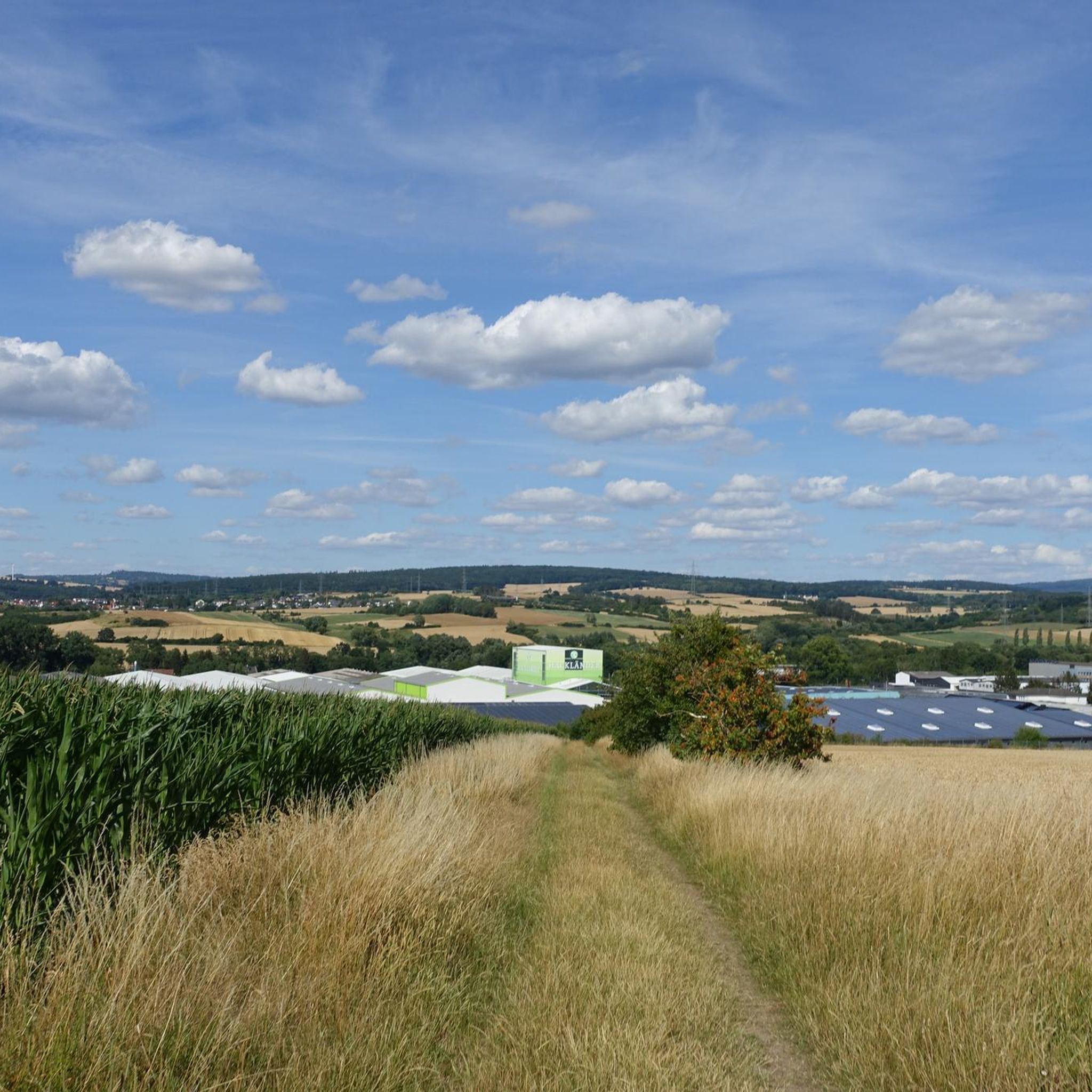
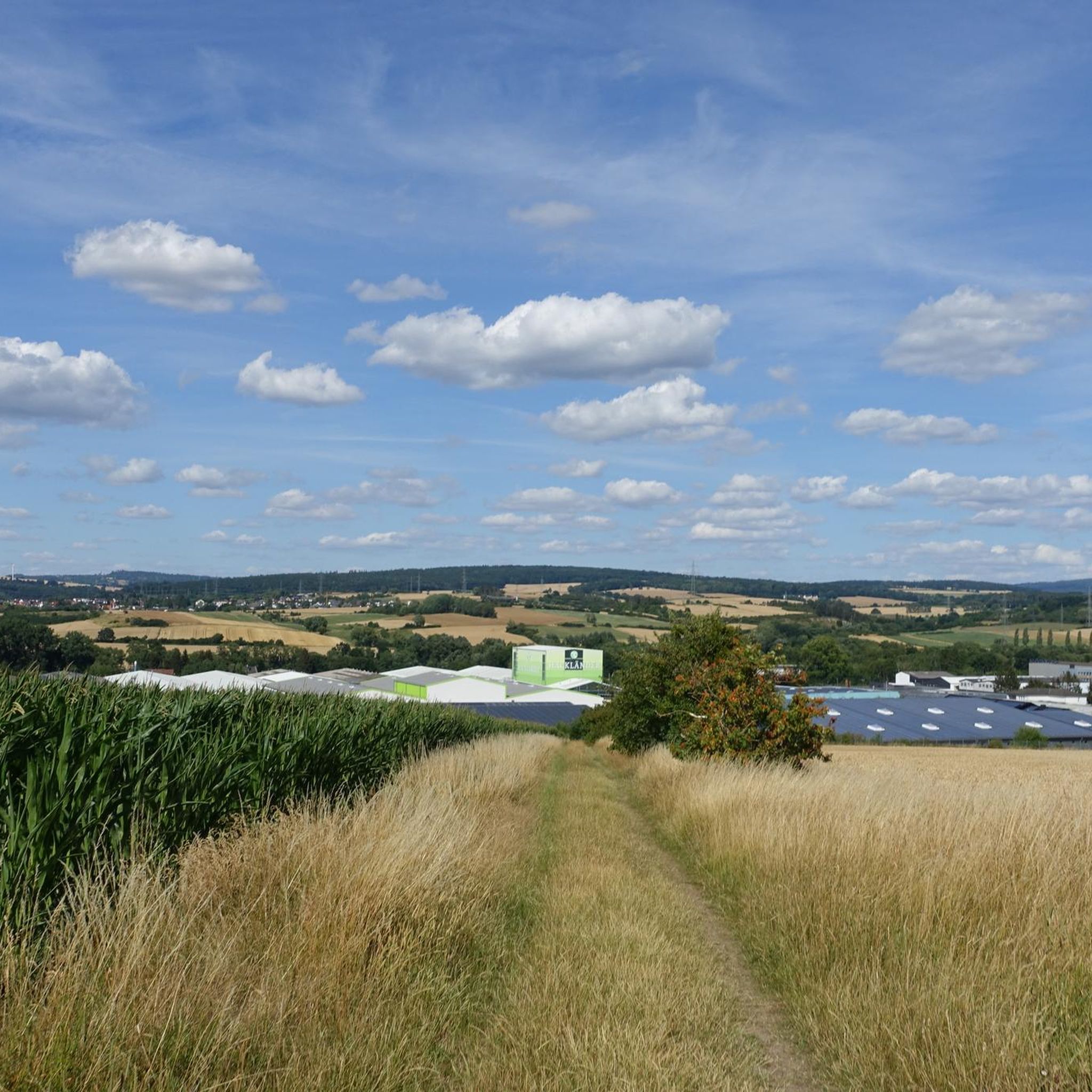
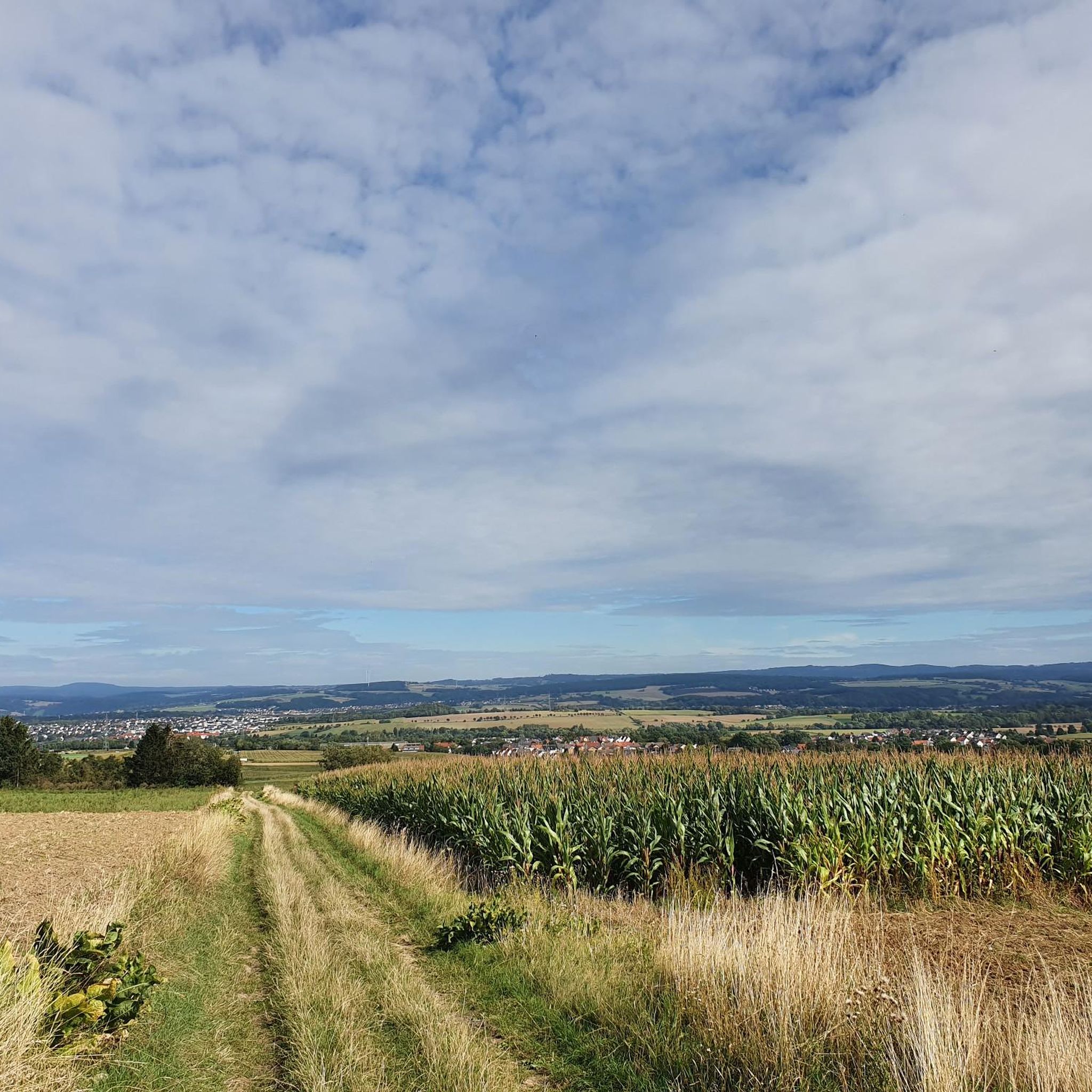
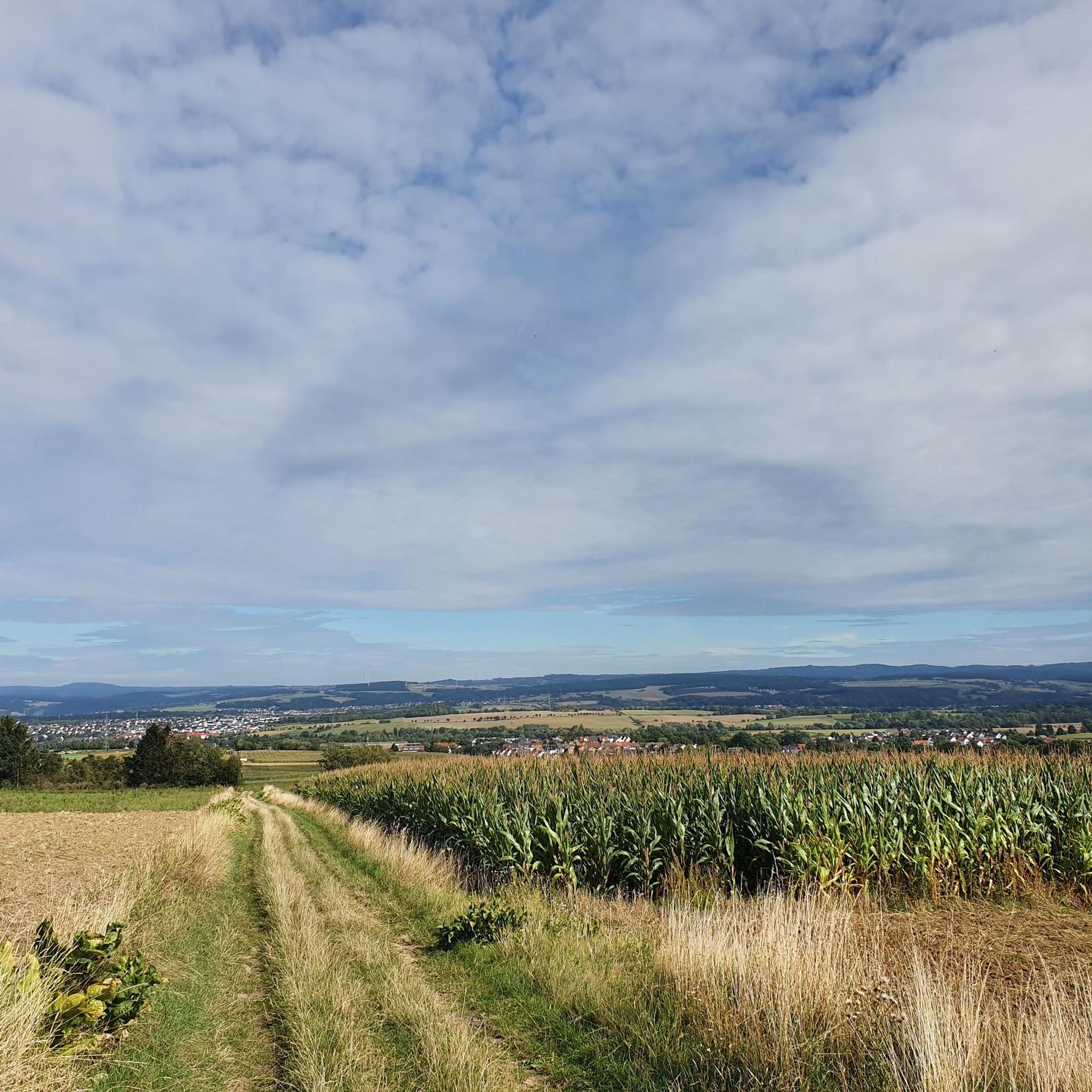
Tips from the Community

Created for the Federal Garden Show in 1981, BUGA is today a very popular local recreation area in the region.
2
0

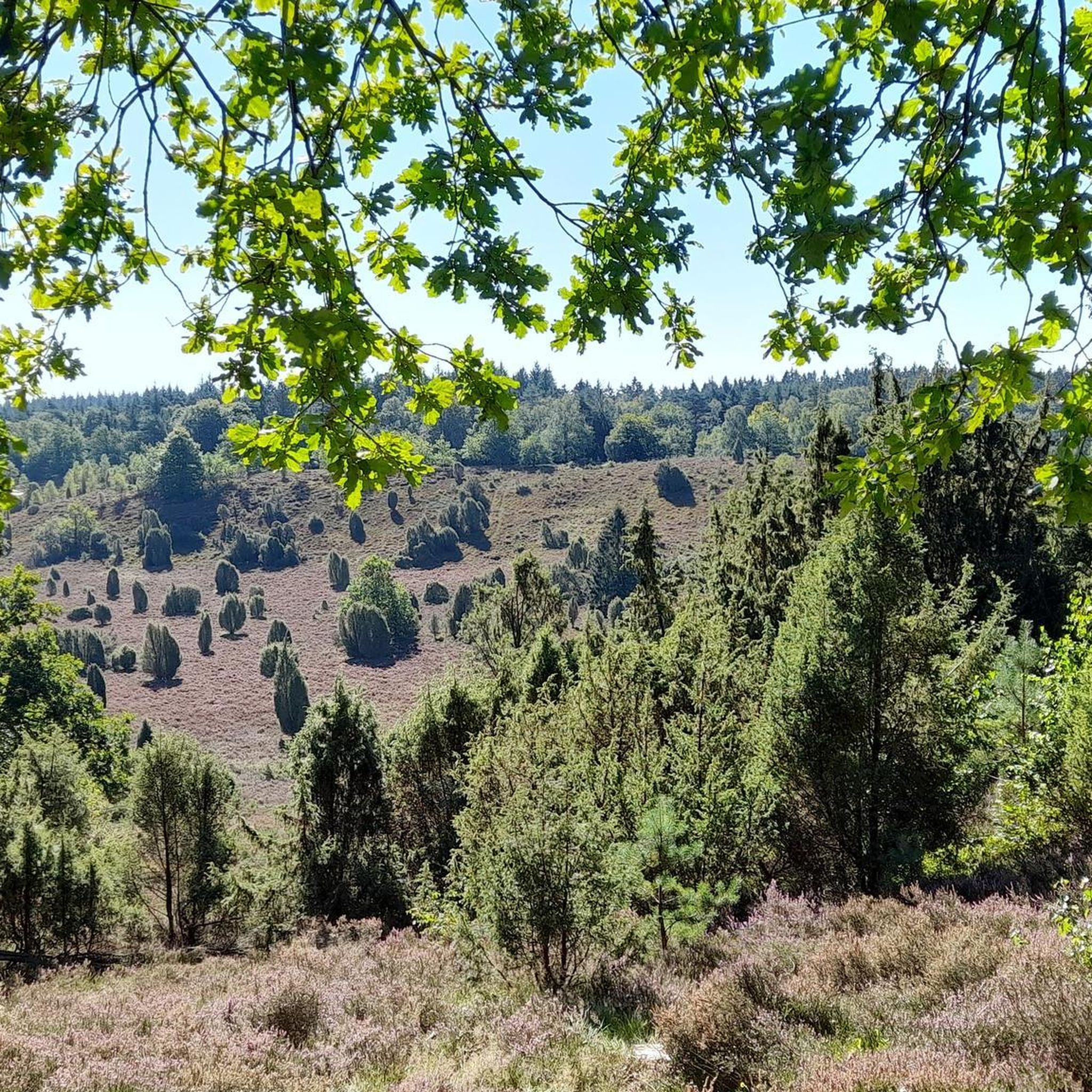
Shelter at a prominent crossroads - nearby you have a beautiful view all the way to Lower Saxony
0
0

Also in 2026 the trail park is great, the trails are wonderfully designed and maintained. Also the signage is great as soon as you understand the design. Since we were there on Pentecost, as a tip, rather use the Roter Stollen parking lot than directly at Hohen Gras. The restaurant operation, climbing forest and hikers create parking scarcity at peak times.
0
0

It is located directly at a crossroads.
0
0

Would have added more pictures of the boards
2
4
Beautifully laid out cycle path along the former Söhrebahn - with interesting information boards about the history.
0
0
Even though the transmitter has little significance anymore, it is a prominent waypoint that is clearly visible from a distance.
1
0

Shelter - Nice place to rest
1
0
Frequently Asked Questions
How many mountain bike trails are available around Lohfelden?
There are over 45 mountain bike trails around Lohfelden, offering a wide range of options for different skill levels and preferences.
Are there easy mountain bike trails suitable for beginners in Lohfelden?
Yes, Lohfelden offers 10 easy mountain bike trails. These routes are generally less demanding, perfect for those new to mountain biking or looking for a relaxed ride. You can find options that explore the region's gentle landscapes.
Can I find challenging mountain bike routes in Lohfelden?
Absolutely. For experienced riders seeking a challenge, there are 3 difficult mountain bike trails. One such route is the Spangenberger Path 3 Trail – Michelskopf Lake loop from Lohfelden, which covers 25.8 miles (41.5 km) with significant elevation changes, offering a demanding experience and views of Michelskopf Lake.
Are there mountain bike trails that pass by lakes or other scenic water features?
Many trails in the Lohfelden area feature scenic water views. For example, the Stellbergsee – Trail to the lake near Kassel loop from Crumbach is a moderate 21.6-mile (34.7 km) route that explores the area around a lake near Kassel. You can also find routes that offer views of BUGA Lake, Kassel.
What kind of historical landmarks or attractions can I see along the mountain bike trails?
The region around Lohfelden is rich in history. You can ride past the Stelberg Medieval Ruins on the Auf dem Brand Parking Area – Stelberg Medieval Ruins Trail loop from Lohfelden. Other notable historical sites nearby include Wilhelmshöhe Palace and Löwenburg (Wilhelmshöhe Mountain Park).
Are there any long-distance mountain bike routes in Lohfelden?
Yes, for those looking for longer rides, Lohfelden offers several options. The View of Lake Bugasee – Hohes Gras Observation Tower loop from Lohfelden is a moderate 28.4-mile (45.7 km) route that provides extensive riding and scenic views.
What do other mountain bikers say about the trails in Lohfelden?
The mountain bike trails in Lohfelden are highly regarded by the komoot community, with an average rating of 4.6 stars from over 270 reviews. Riders often praise the varied terrain, from dense woodlands to open areas, and the well-maintained paths that cater to different skill levels.
Are there mountain bike trails that are loop routes?
Most of the mountain bike trails around Lohfelden are designed as convenient loop routes, allowing you to start and finish at the same point. This makes planning your ride straightforward. An example is the Spangenberger Path 3 Trail – Warpel Hut loop from Lohfelden, a moderate 13.9-mile (22.4 km) loop.
When is the best time of year for mountain biking in Lohfelden?
The best time for mountain biking in Lohfelden is typically from spring through autumn, when the weather is mild and the trails are dry. While some trails may be accessible in winter, conditions can be challenging due to snow or ice, so always check local conditions before heading out.
Are there any mountain bike trails that pass by places where I can stop for refreshments?
While specific cafes are not always directly on the trails, many routes pass through or near villages where you can find opportunities for refreshments. It's always a good idea to check the detailed route information on komoot for points of interest or towns along your chosen path.
What are the typical trail conditions like in Lohfelden?
Lohfelden's trails feature a mix of natural surfaces and well-maintained paths. You can expect varied terrain, including forested paths, rolling hills, and some open areas. Conditions can change with weather, so it's advisable to check recent reviews or local forecasts before your ride.
Most popular routes around Lohfelden
Most popular attractions around Lohfelden

Get inspired with the komoot mobile app


Explore more
Browse the best MTB trails in other regions.
