Clwydian Range And Dee Valley National Landscape
Clwydian Range And Dee Valley National Landscape
The best hikes from bus stations around Clwydian Range And Dee Valley National Landscape
4.5
(2424)
20,471
hikers
58
hikes
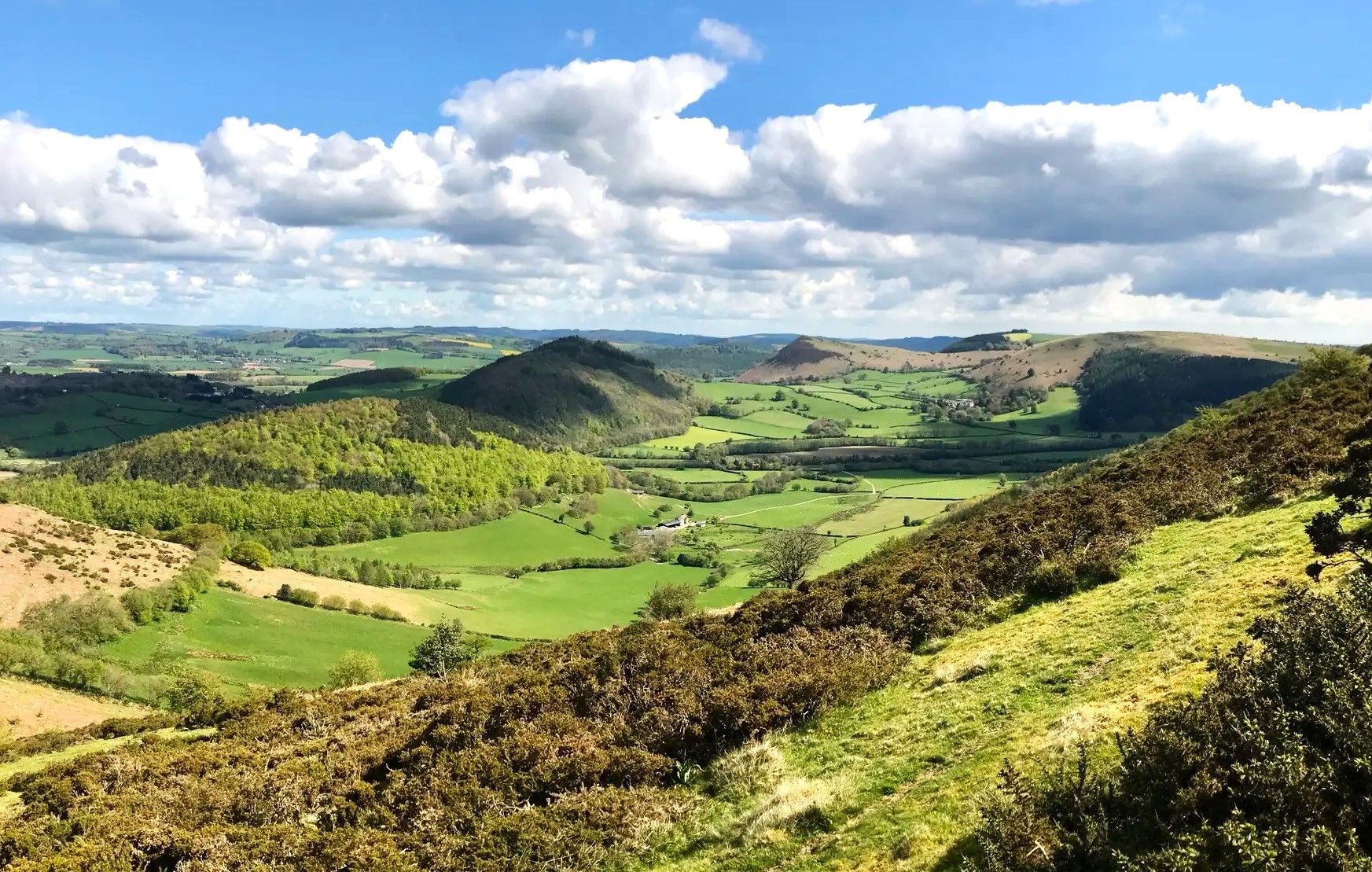
Bus station hiking trails around Clwydian Range And Dee Valley National Landscape traverse a diverse landscape of heather-clad hills, limestone crags, and ancient woodlands. The region is characterized by its dramatic upland frontier, offering expansive views and varied terrain. Hikers can explore the winding River Dee valley, which features riverside paths and contributes to the area's natural charm. This National Landscape provides a range of environments for outdoor exploration.
Best bus station hiking trails around Clwydian Range And Dee Valley National Landscape
- The most popular bus station hiking route is Devil's Gorge Cave Entrance – Leete Path loop from Loggerheads, a 4.7 miles (7.6 km) trail that takes 2 hours 5 minutes to complete. This moderate route explores features like Devil's Gorge.
- Another top favourite among local hikers is Moel Famau Trig Point – Jubilee Tower on Moel Famau loop from Loggerheads, a moderate 8.3 miles (13.3 km) path. This trail ascends Moel Famau, the highest point in the range, offering panoramic views and passing the historic Jubilee Tower.
- Local hikers also love the Leete Path – View of Moel Famau loop from Loggerheads, a 2.1 miles (3.4 km) trail leading through varied terrain with views towards Moel Famau, often completed in about 55 minutes.
- Hiking around Clwydian Range And Dee Valley National Landscape is defined by heather-clad hills, the scenic Dee Valley, and ancient woodlands. The network offers options for different ability levels, from gentle strolls to more demanding climbs.
- The routes in Clwydian Range And Dee Valley National Landscape are highly rated by the komoot community with an average score of 4.5 stars from over 2,100 reviews. More than 19,000 hikers have used komoot to explore Clwydian Range And Dee Valley National Landscape's varied terrain.
Last updated: July 9, 2026
4.8
(25)
273
hikers
7.61km
02:05
120m
120m
Moderate hike. Good fitness required. Easily-accessible paths. Suitable for all skill levels.
4.9
(23)
187
hikers
13.3km
03:59
410m
420m
Moderate hike. Good fitness required. Easily-accessible paths. Suitable for all skill levels.

Sign up for free
4.8
(28)
117
hikers
10.6km
03:17
380m
380m
Moderate hike. Good fitness required. Easily-accessible paths. Suitable for all skill levels.
3.8
(4)
123
hikers
3.39km
00:56
60m
60m
Easy hike. Great for any fitness level. Easily-accessible paths. Suitable for all skill levels.
4.6
(10)
66
hikers
Moderate hike. Good fitness required. Easily-accessible paths. Suitable for all skill levels.
Get access to more routes and recommendations from other explorers.
Sign up for free
Already have an account?
Our route recommendations are based on thousands of hikes, rides, and runs completed by other people on komoot.
Start today with a free account
Your next adventure awaits.
Login or Signup
Popular around Clwydian Range And Dee Valley National Landscape
Other adventures around Clwydian Range And Dee Valley National Landscape


Tips from the Community


A large area of managed woodland on the slopes south of Moel Famau in the Clwydian Range of mountains. There are lots of trails through the woodland, popular with walkers and mountain bikers.
0
0

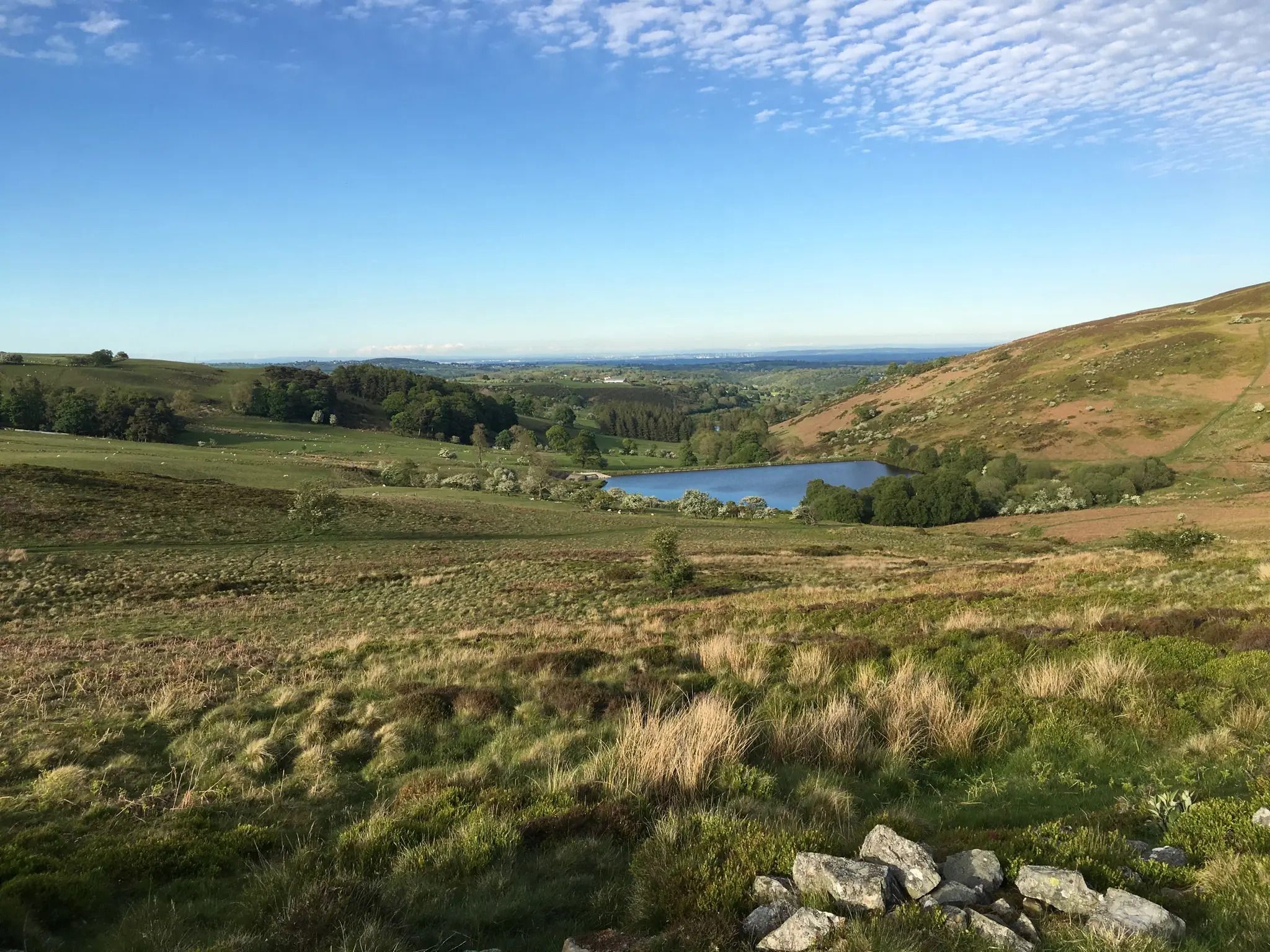
Pretty open moor area and small llyn amidst the trees on the flanks of Moel Famau. Lots of wildflowers in summer.
0
0

Smiley Trig Point to finish the climb to Moel Famau
0
0

Like all hills the weather can turn in an instant take sturdy foot wear and a waterproof jacket :)
1
0

The site was the location of Pentre Mill, a corn mill dating to the early 19th century. The mill was powered by a water wheel near the River Alyn; the water wheel was closed in the 1940s and restored in the 1990s. The park was also the location of lead mining and quarrying.
4
0
Caffi Florence is an award winning café, specialising in fresh, seasonal, homemade and locally sourced produce, based at Loggerheads Country Park near Mold. Great food drink and atmosphere.
2
0
Frequently Asked Questions
How many bus-accessible hiking trails are available in the Clwydian Range and Dee Valley National Landscape?
There are over 50 hiking trails in the Clwydian Range and Dee Valley National Landscape that are easily accessible by bus. This guide features 58 such routes, offering a wide variety of experiences for all skill levels.
What kind of scenery can I expect on these bus-accessible hikes?
The region offers a diverse landscape. You can expect to traverse heather-clad hills with expansive views, explore ancient woodlands, and follow paths along the winding River Dee. Limestone crags and sandstone ridges also contribute to the varied scenery.
Are there easy bus-accessible hiking trails suitable for beginners or families?
Yes, there are several easy routes perfect for beginners or families. For instance, the Leete Path – View of Moel Famau loop from Loggerheads is an easy 3.3 km hike with minimal elevation gain, offering pleasant views without being too strenuous.
Can I reach Moel Famau, the highest point in the Clwydian Range, using public transport?
Absolutely. You can access trails leading to Moel Famau by bus. A popular option is the Moel Famau Trig Point – Jubilee Tower loop from Loggerheads, a moderate 13.3 km route that takes you to the summit and the iconic Jubilee Tower, offering breathtaking panoramic views.
Are there any challenging bus-accessible hikes for experienced hikers?
Yes, for those seeking a challenge, there are 9 difficult routes available. While specific challenging routes are not listed here, you can find options that involve significant elevation gain and longer distances within the guide to test your endurance.
What natural attractions or landmarks can I see along these bus-accessible routes?
Many routes offer access to notable natural features. You can explore areas like the Devil's Gorge Cave Entrance or the dramatic Devil's Gorge and Pentre Mill at Loggerheads Country Park. The Devil's Gorge Cave Entrance – Leete Path loop from Loggerheads is a moderate 7.6 km hike that takes you through some of these impressive gorges.
Are there any historical sites or Iron Age hillforts accessible via bus routes?
The landscape is rich in history. The Clwydian Range is dotted with Iron Age hillforts, and routes often pass by or ascend to these ancient sites. While not explicitly listed in the provided routes, the region research indicates that trails like the Moel Famau & Foel Fenlli loop (not in this guide) ascend two well-known hills, passing an Iron Age hillfort. Many routes in the area will offer glimpses into this rich past.
What do other hikers enjoy most about hiking in the Clwydian Range and Dee Valley National Landscape?
The area is highly rated by the komoot community, with an average score of 4.5 stars from over 2,100 ratings. Reviewers often praise the stunning panoramic views from the hilltops, the tranquility of the ancient woodlands, and the well-maintained paths that make for an enjoyable hiking experience.
Are there circular bus-accessible routes available?
Yes, many of the bus-accessible routes are designed as circular loops, allowing you to start and end your hike at the same bus stop without needing to retrace your steps. For example, the Leete Path – Devil's Gorge Cave Entrance loop from Loggerheads is a moderate 11.7 km circular hike.
When is the best time of year to go hiking in this region?
The Clwydian Range and Dee Valley National Landscape offers great hiking opportunities year-round. Spring brings vibrant wildflowers, summer provides long daylight hours for extended walks, and autumn showcases stunning foliage. Even in winter, with appropriate gear, the heather-clad hills can offer dramatic, crisp views.
Can I bring my dog on these bus-accessible hiking trails?
Many trails in the Clwydian Range and Dee Valley National Landscape are dog-friendly, but it's always best to check specific route details for any restrictions, especially regarding livestock or protected areas. Always keep dogs under control, especially near farm animals, and follow the Countryside Code.
Most popular routes around Clwydian Range And Dee Valley National Landscape
Most popular attractions around Clwydian Range And Dee Valley National Landscape

Get inspired with the komoot mobile app


Explore more
Browse the best Hikes in other regions.
