Wylye Down National Nature Reserve
Wylye Down National Nature Reserve
The best traffic-free bike rides in Wylye Down National Nature Reserve
4.6
(17)
293
riders
31
rides
No traffic touring cycling routes in Wylye Down National Nature Reserve traverse a landscape characterized by distinctive chalk grassland and shallow valleys within the Cranborne Chase Area of Outstanding Natural Beauty. The area features ancient field systems dating back to the Bronze Age, with visible banks and lynchets. Elevation changes are generally moderate, with routes offering views across open countryside. The terrain includes both well-paved surfaces and potentially unpaved segments, catering to varied cycling preferences.
Best no traffic touring cycling…
Last updated: July 9, 2026
8
riders
41.3km
02:33
360m
360m
Moderate bike ride. Good fitness required. Mostly paved surfaces. Suitable for all skill levels.
17
riders
29.1km
01:46
260m
260m
Moderate bike ride. Good fitness required. Mostly paved surfaces. Suitable for all skill levels.

Sign up for free
6
riders
29.2km
01:59
290m
290m
Hard bike ride. Good fitness required. You may need to push your bike for some segments of this route.
5.0
(1)
3
riders
Moderate bike ride. Good fitness required. Mostly paved surfaces. Suitable for all skill levels.
2
riders
37.4km
02:30
540m
540m
Hard bike ride. Very good fitness required. Mostly paved surfaces. Suitable for all skill levels.
Get access to more routes and recommendations from other explorers.
Sign up for free
Already have an account?
Our route recommendations are based on thousands of hikes, rides, and runs completed by other people on komoot.
Start today with a free account
Your next adventure awaits.
Login or Signup
Popular around Wylye Down National Nature Reserve
Tips from the Community


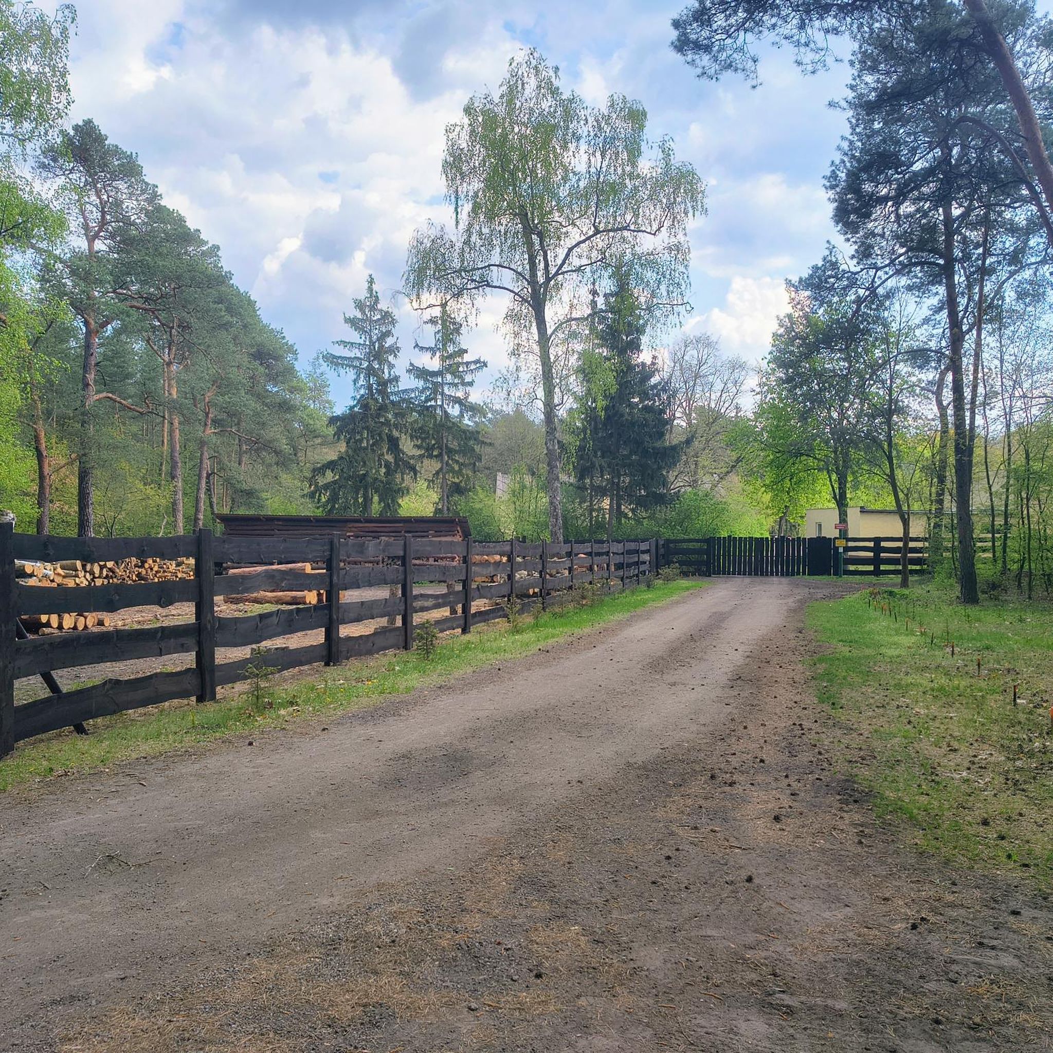
Not Road bike suitable. Punctures likey. Verry muddy. MTB/Gravel bike fine.
0
0
Path unsuitable for Road bikes/Tyres. Gravel bike and MTB fine. High risk of punctures and muddy.
0
0
Teffont Magna, sometimes called Upper Teffont, is a small village and former civil parish, now in the parish of Teffont, in the Nadder valley in the south of the county of Wiltshire, England. For most of its history, Teffont Magna was a chapelry of neighbouring Dinton. In 1934 it was combined with the parish of Teffont Evias, just to the south, to form a united Teffont parish. Location Teffont Magna lies 1+1⁄2 miles (2.4 km) west of Dinton and 7 miles (11 km) west of Wilton. The parish extends north onto the chalk downs that separate the valleys of the Nadder and Wylye.[1] The village is between Chilmark and Dinton on the B3089 Hindon to Barford St Martin road, in the valley of a stream which rises just to the north and flows south through Teffont Evias to join the Nadder.
0
0

After Rain, in winter, muddy and slippery under foot. At least 45+mm tyres. I guess, this is a fantastic trail in summer.
0
0


Great Wishford sits in a meander of the River Wylye, beneath the chalk ridge adorned by the beautiful Grovely Wood. From the village, Grovely Road leads up to the woodland trails and is a good option for those looking to tackle some hill reps. According to an ancient custom, the residents of the village are permitted to gather firewood annually from Grovely Wood on Oak Apple Day, which is the 29th of May. The village pub, the Royal Oak, is a good shout for post run refreshment.
0
0
Frequently Asked Questions
How many no-traffic touring cycling routes are available in Wylye Down National Nature Reserve?
There are over 30 dedicated no-traffic touring cycling routes in Wylye Down National Nature Reserve. These routes cater to various skill levels, with 1 easy, 16 moderate, and 15 difficult options.
What is the best time of year to go touring cycling in Wylye Down National Nature Reserve?
The best time to visit for touring cycling is during spring and summer. This period offers the most vibrant display of wildflowers across the chalk grasslands, making for particularly scenic rides.
Are there any family-friendly no-traffic touring cycling routes?
Yes, there is at least 1 easy route suitable for families looking for a gentle ride. Many of the moderate routes also feature mostly well-paved surfaces and quiet lanes, which can be enjoyable for families with some cycling experience. For example, the Ox Drove Concrete Path – View of Wylye Valley loop from Teffont is a moderate option that is shorter and has less elevation gain.
What kind of terrain can I expect on these no-traffic routes?
The terrain primarily consists of chalk grassland landscapes. While many routes are on mostly well-paved surfaces and quiet lanes, some may include unpaved segments or tracks, especially on more challenging routes. You can expect varied elevation, with some routes featuring significant climbs and descents, characteristic of the shallow valleys within the Cranborne Chase.
Are there any circular touring cycling routes in the area?
Yes, many of the touring cycling routes in Wylye Down National Nature Reserve are designed as loops. For instance, the The Royal Oak, Great Wishford – View of Wylye Valley loop from Dinton is a moderate circular route offering scenic views.
What are the difficulty levels of the touring cycling routes?
The routes range from easy to difficult. There is 1 easy route, 16 moderate routes, and 15 difficult routes. Difficulty is influenced by factors such as distance, elevation gain, and the type of surface, with difficult routes often featuring more significant climbs and potentially unpaved sections.
What landmarks or viewpoints can I expect to see along the routes?
You'll encounter scenic views across open countryside, particularly over the chalk grasslands and shallow valleys of the Cranborne Chase. Historically, you can find Bronze Age field systems and the remains of Bilbury Rings, an Iron Age Hill Fort, just behind the nature reserve. While there are no specific highlights listed in the guide data, the natural beauty and historical elements are key attractions.
Is there parking or public transport access to the Wylye Down National Nature Reserve for cyclists?
There is no dedicated car park for the Wylye Down National Nature Reserve itself. Access is typically from the village of Wylye. For public transport, you would need to research local bus or train services to nearby villages and cycle from there.
What do other touring cyclists enjoy most about the routes in Wylye Down National Nature Reserve?
The area is highly rated by the komoot community, with an average score of 4.6 stars from 18 ratings. Reviewers often praise the quiet, traffic-free nature of the routes, the stunning chalk grassland scenery, and the rich biodiversity, especially during wildflower season.
Are there any cafes or pubs near the no-traffic touring cycling routes?
While the nature reserve itself is a natural area, the routes often pass through or near picturesque villages. You can find cafes and pubs in nearby settlements like Wylye, Great Wishford, or Dinton, which are good places to stop for refreshments. For example, the The Bridge Inn – Narrow Trail to Old Sarum loop from Wylye starts near an inn.
Can I bring my dog on these touring cycling routes?
While the nature reserve is generally accessible, it's important to keep dogs under close control, especially due to the presence of rare flora and ground-nesting birds in the chalk grasslands. Always follow the Countryside Code and any specific signage regarding dogs in the reserve.
Most popular routes in Wylye Down National Nature Reserve

Get inspired with the komoot mobile app


Explore more
Browse the best Cycling routes in other regions.
