The best city hikes and walks in Rouge National Park
4.7
(85)
846
hikers
1
hike
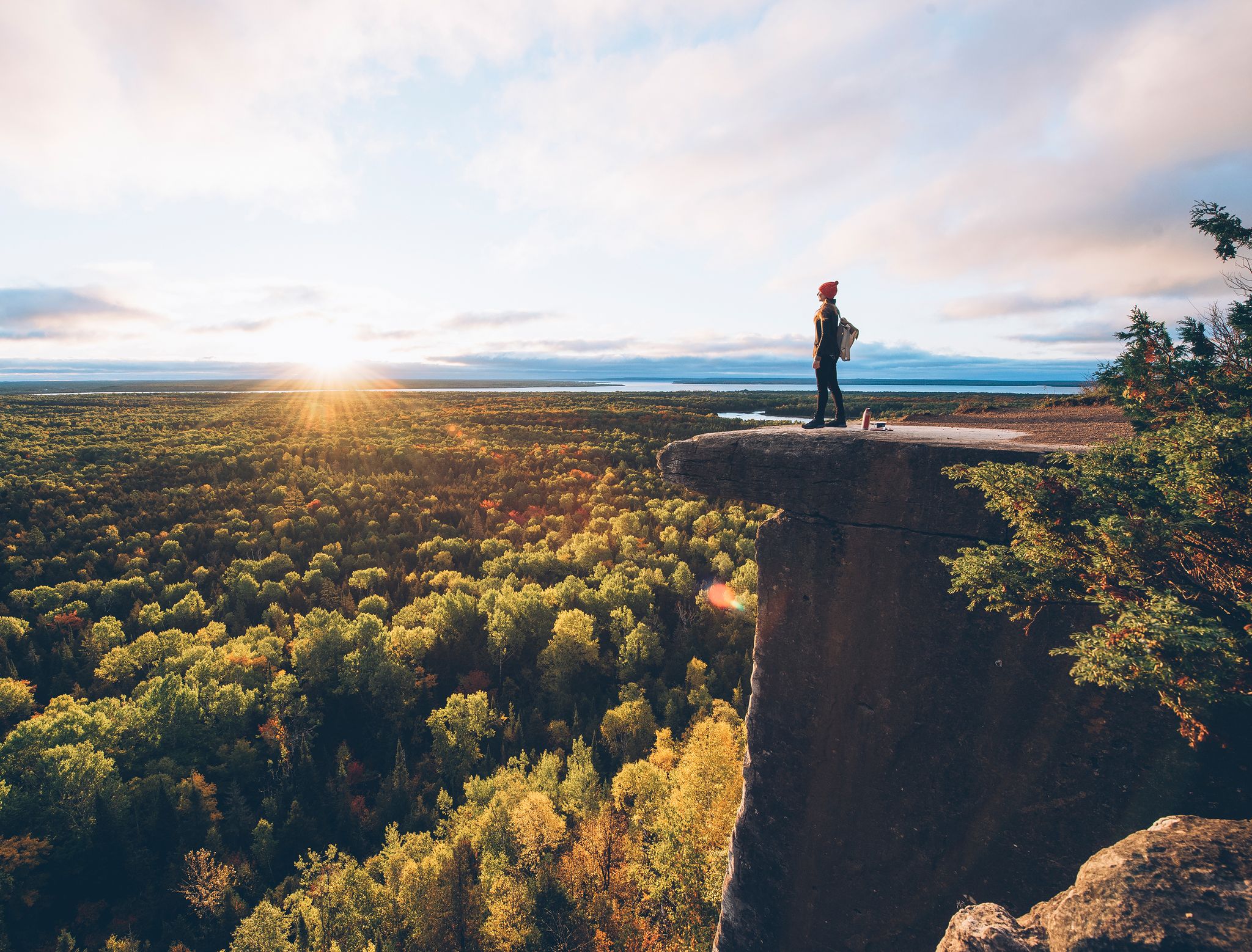
Urban hiking trails in Rouge National Park offer diverse landscapes within Canada's first national urban park. The park features extensive mature forests, including rare Carolinian ecosystems, alongside open meadows and active agricultural fields. Its terrain is characterized by wetlands, the Rouge River and its tributaries, and an extensive ravine system, providing varied natural features for exploration. The park also extends to Lake Ontario, offering a mix of natural and cultivated environments for hikers.
Best urban hiking trails in Rouge National…
Last updated: June 26, 2026
2
hikers
8.47km
02:11
40m
40m
Moderate hike. Good fitness required. Easily-accessible paths. Suitable for all skill levels.
1
hikers
3.86km
00:59
10m
10m
Easy hike. Great for any fitness level. Easily-accessible paths. Suitable for all skill levels.
Our route recommendations are based on thousands of hikes, rides, and runs completed by other people on komoot.
Start today with a free account
Your next adventure awaits.
Login or Signup
Popular around Rouge National Park
Other adventures in Rouge National Park

Tips from the Community

McCowan District Park is a spacious community hub featuring open green space between the trees, a skating rink, a baseball diamond and soccer field. It's a good place to take the kids and dogs for a chill walk and a picnic after.
0
0
The McCowan District Park Trail is an easy, paved multi-use path that loops through the park and goes straight between a tree's corridor. You'll find it weaving through open lawns and small pockets of trees, with benches along the way. It's flat and fully accessible.
0
0

Following West Highland Creek between Brimley Road and Ellesmere Road, Birkdale Ravine is a quiet, tree-lined green corridor with a paved multi-use path running its length. The ravine mixes wooded slopes, open grassy pockets, and creekside bridges, offering a calm, shaded walk that feels surprisingly removed from the surrounding neighbourhoods. Seasonal highlights include spring wildflowers, steady fall colour, and increased creek flow after rain. With easy access points, gentle terrain, and connections to Thomson Memorial Park, it’s one of Scarborough’s most peaceful everyday walking routes.
0
0
One of Scarborough’s most established green spaces, Thomson Memorial Park stretches along West Highland Creek with a mix of forested paths, open lawns, sports fields, and picnic areas. The paved multi-use trail follows the creek through shaded ravine sections, linking to Birkdale Ravine and other neighbourhood routes. The park also includes the Scarborough Museum, quiet wooded pockets, and several bridges that give good views of the creek. With easy access, varied terrain, and plenty of space to wander, it’s a reliable everyday park for walking, cycling, or relaxed time outdoors.
0
0
Running through the deep green of the Birkdale Ravine in east Toronto, this trail follows the winding course of West Highland Creek for about 5 km of mostly easy terrain. The route crosses forested slopes, small streams and bridges, and offers a quiet escape from city streets into tucked-away woodland and ravine park space. It links neighbourhoods around Ellesmere and Brimley Road, and includes signage about local history, creek restoration, and natural habitat. With gentle elevation gains, family-friendly paths and the sound of creek water nearby, it’s one of Toronto’s more peaceful ravine walks.
0
0
Frequently Asked Questions
What makes Rouge National Urban Park a unique destination for urban hiking?
Rouge National Urban Park is Canada's first national urban park and one of North America's largest, offering a remarkable blend of diverse landscapes within the Greater Toronto Area. Hikers can explore extensive forests, open meadows, active farmlands, significant wetlands, and the Rouge River, all while being easily accessible from the city.
Are there easy urban hiking trails suitable for beginners or families in Rouge National Park?
Yes, Rouge National Park offers several easy trails perfect for beginners or families. The McCowan District Park Trail is a great option, offering a gentle 3.86 km walk. Another accessible choice is the Rouge River loop from Markham, which is about 5 km and provides pleasant riverside views.
What kind of natural features can I expect to see along the urban hiking trails?
The park's trails showcase a wide array of natural features. You can walk through mature Carolinian forests, explore open meadows, and discover significant wetlands like the Rouge Marsh. The park is centered around the Rouge River, and some trails offer views of Lake Ontario. Highlights include the Rouge River itself and the diverse habitats found along trails like the Mast Trail.
Are there any viewpoints or scenic spots along the urban hiking routes?
Yes, the park is known for its scenic vistas. The Vista Trail Observation Deck offers spectacular panoramic views of the Rouge Valley, which are particularly vibrant in autumn. Other trails, like the Glen Eagles Vista Trail (mentioned in region research), also provide brilliant views of the Rouge River and Little Rouge Creek.
What do other hikers enjoy most about urban hiking in Rouge National Park?
The komoot community highly rates the hiking experiences in Rouge National Park, with an average score of 4.66 stars. Reviewers often praise the park's accessibility from the city, the diverse landscapes that make you feel far from urban life, and the well-maintained trails that cater to various skill levels.
Can I bring my dog on the urban hiking trails in Rouge National Park?
Rouge National Urban Park is generally dog-friendly, with many trails allowing leashed dogs. It's always best to check specific trail regulations or park signage before heading out, but you'll find many opportunities to enjoy the urban wilderness with your canine companion.
Are there any longer or more challenging urban hikes in the park?
For those looking for a longer, moderately challenging urban hike, the Birkdale Trail is a great option. This route spans approximately 8.47 km and offers a good workout with varied terrain, including some elevation changes, making it suitable for hikers seeking a bit more adventure.
How accessible is Rouge National Urban Park by public transport?
Rouge National Urban Park is highly accessible by public transport, making it a convenient escape for city dwellers. Various bus routes serve different access points and trailheads within the park, connecting it to the wider Greater Toronto Area. This makes it easy to reach the urban hiking trails without a car.
What kind of wildlife can I expect to see while hiking in Rouge National Park?
Rouge National Urban Park is one of the most biologically diverse spots in Canada. Hikers often spot a variety of birds, including waterfowl in the wetlands, as well as frogs, turtles, and sometimes even beavers. The park's extensive forests and meadows provide habitats for numerous plant and animal species, offering excellent opportunities for wildlife observation.
Are there any historical or cultural points of interest along the urban hiking routes?
Yes, the park has traces of early European settlement and agricultural history. Trails like the Orchard Trail showcase remnant orchards, hinting at the area's past. The Mast Trail, for instance, traverses a 200-year-old former logging route, offering a glimpse into the region's historical use of its natural resources.
What is the best time of year to go urban hiking in Rouge National Park?
Rouge National Park offers enjoyable hiking experiences year-round. Spring brings blooming wildflowers and active wildlife, while summer provides lush greenery and shaded trails. Autumn is particularly spectacular, with vibrant fall foliage, especially visible from viewpoints like the Vista Trail Observation Deck. Winter offers serene, snow-covered landscapes for those prepared for colder conditions.
Most popular routes in Rouge National Park
Most popular attractions in Rouge National Park

Get inspired with the komoot mobile app


Explore more
Browse the best Hikes in other regions.
