The best traffic-free bike rides in Eybtal Mit Teilen Des Längen- Und Rohrachtales
4.8
(24)
182
riders
36
rides
No traffic gravel bike trails in Eybtal Mit Teilen Des Längen- Und Rohrachtales navigate a diverse natural landscape characterized by narrow, deeply incised valleys with wooded slopes and numerous rock formations. This region, part of the Stuttgart administrative area, features natural forest types, gorge forests, and ravines. Gravel bikers can expect varied terrain including forest paths and country roads, with elevations ranging across the valleys. The area is known for its unique geological features like the Felsental and Magental Gorge,…
Last updated: October 26, 2026
3
riders
70.2km
04:40
810m
810m
Hard gravel ride. Very good fitness required. Mostly paved surfaces.
4.0
(9)
60
riders
Moderate gravel ride. Good fitness required. Mostly paved surfaces.

5.0
(1)
18
riders
27.9km
01:37
290m
290m
Moderate gravel ride. Good fitness required. Mostly paved surfaces.
5.0
(1)
21
riders
112km
07:02
1,590m
1,590m
Hard gravel ride. Very good fitness required. Mostly paved surfaces.
10
riders
21.3km
01:28
380m
380m
Moderate gravel ride. Good fitness required. Mostly paved surfaces.
Get access to more routes and recommendations from other explorers.
Already have an account?
Our route recommendations are based on thousands of hikes, rides, and runs completed by other people on komoot.
Start today with a free account
Your next adventure awaits.
Popular around Eybtal Mit Teilen Des Längen- Und Rohrachtales


Other adventures in Eybtal Mit Teilen Des Längen- Und Rohrachtales


Tips from the Community

Interesting signs along the way impressively show the distance of celestial bodies from Earth on a scale.
3
0
From the former Nenningen train station to Donzdorf. An absolutely beautiful section.
3
0

A place to linger. Explore opening hours beforehand!
0
0

Cycle path along the water
1
0
Cycle path between the fields
1
0

Here, cyclists are friendly to hikers and vice versa.
5
0

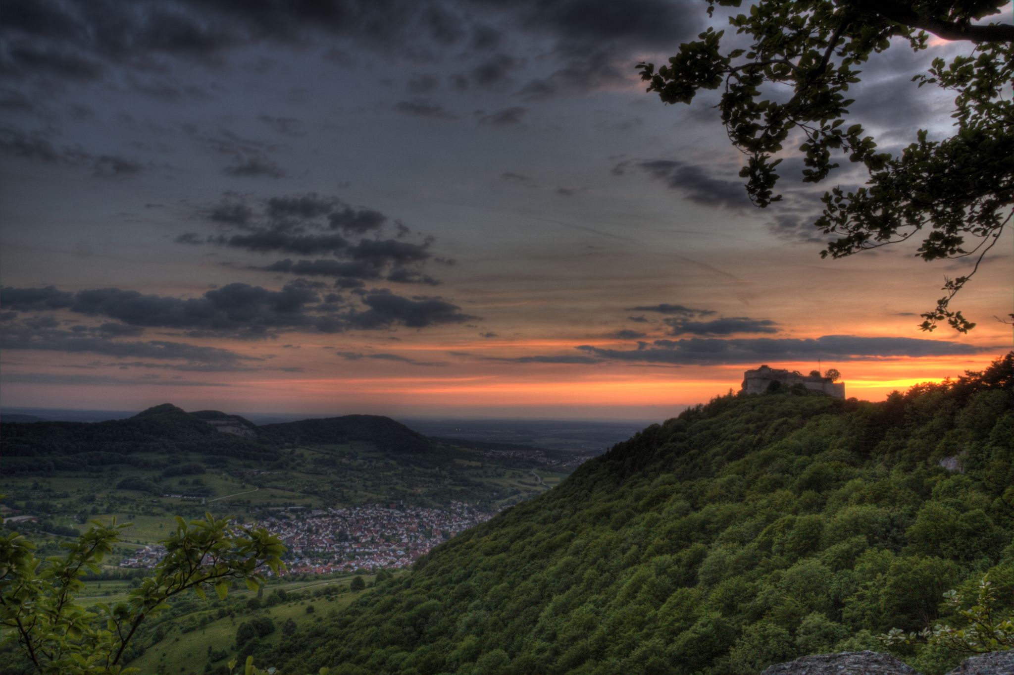
Ramsberg Castle stands in the territory of the former municipality of Reichenbach unter Rechberg, which has belonged to Donzdorf in the Göppingen district of Baden-Württemberg since 1974. The spur castle, along with its estate, is situated on a ridge, one of the two southern spurs of the Rehgebirge mountain range. Staufeneck Castle lies on the other (western) spur. https://de.wikipedia.org/wiki/Burg_Ramsberg_(Donzdorf)
1
0
Frequently Asked Questions
How many no-traffic gravel bike trails are available in Eybtal Mit Teilen Des Längen- Und Rohrachtales?
There are nearly 50 dedicated no-traffic gravel bike trails in the Eybtal Mit Teilen Des Längen- Und Rohrachtales region. These routes offer a diverse range of experiences, from moderate to challenging, ensuring a suitable option for various skill levels.
What kind of terrain can I expect on the gravel bike trails in this region?
The Eybtal Mit Teilen Des Längen- Und Rohrachtales region is characterized by its deeply incised valleys, wooded slopes, and numerous rock formations. You can expect a varied terrain including natural forest paths, tarmac sections, and country roads. The area features many gorge forests (Schluchtwälder) and ravines (Klingen), offering a mix of surfaces ideal for gravel biking.
Are there any family-friendly no-traffic gravel routes in Eybtal Mit Teilen Des Längen- Und Rohrachtales?
While many routes in the region are rated moderate to difficult, there are options that can be enjoyed by families looking for less challenging rides. Look for routes with lower elevation gain and shorter distances. Always check the route details on Komoot for specific difficulty ratings and terrain information to ensure it suits your family's abilities.
What are some notable natural features or landmarks I can see along the gravel trails?
The region is rich in natural beauty and historical sites. You can encounter impressive rock formations like the Anwandfelsen and Himmelsfelsen, explore the Felsental Gorge, or visit the unique Mordloch Cave. The Rohrach Valley also offers scenic views. Historically, the Helfenstein Castle Ruins provide panoramic vistas over the Filstal.
Are there any circular gravel bike routes available?
Yes, many of the no-traffic gravel bike trails in Eybtal Mit Teilen Des Längen- Und Rohrachtales are designed as circular routes, allowing you to start and end at the same point. For example, the "Mordloch Cave – Old Railway Line to Grünbach loop from Geislingen West" is a moderate circular option. Always check the route details for specific start/end points and loop information.
What is the best time of year for gravel biking in this region?
The Eybtal Mit Teilen Des Längen- Und Rohrachtales is generally enjoyable for gravel biking from spring through autumn. The mild temperatures and vibrant foliage make these seasons ideal. While winter riding is possible, be prepared for potentially wet or icy conditions on forest paths and higher elevations. Always check local weather forecasts before heading out.
Are there any specific challenging gravel bike trails for experienced riders?
Absolutely. The region offers numerous challenging routes with significant elevation gain and technical sections. For instance, the "View of Hohenstaufen – View of the Rechberg loop from Scharfenberg" is a difficult route spanning over 52 km with more than 860 meters of ascent. Many trails feature demanding singletrack sections, especially around rock formations like the Anwandfelsen.
Can I bring my dog on the gravel bike trails?
Many natural areas in Germany, including parts of nature reserves, are dog-friendly, but it's crucial to keep dogs on a leash, especially in forested areas or near wildlife. Always respect local regulations and signage regarding pets. Ensure your dog is fit enough for the distance and terrain, and carry enough water for both of you.
What do other gravel bikers enjoy most about the trails in Eybtal Mit Teilen Des Längen- Und Rohrachtales?
The area is highly rated by the Komoot community, with an average score of 4.76 stars. Reviewers often praise the region's diverse and ecologically rich natural landscape, the quiet and traffic-free nature of the trails, and the scenic beauty of the deeply incised valleys and rock formations. The combination of challenging climbs and rewarding views is frequently highlighted.
Are there any cafes or places to stop for refreshments along the routes?
Yes, while the trails themselves are often remote and traffic-free, you can find places to stop in nearby towns or villages. The Obere Roggenmühle (Upper Rye Mill) is noted as a restaurant that can serve as a refreshment stop. Planning your route with Komoot allows you to identify potential stops and amenities along your chosen path.
How can I access the gravel bike trails using public transport?
The region is situated in the Göppingen district of Baden-Württemberg, Germany. Larger towns like Geislingen an der Steige, which is often a starting point for tours, are typically accessible by regional train services. From these towns, you can often cycle directly to the trailheads. It's advisable to check local public transport schedules and bike carriage policies before your trip.
Are there any moderate-difficulty gravel routes that offer a good balance of challenge and scenery?
Certainly. The region has 16 moderate-difficulty routes that provide a great experience without being overly strenuous. For example, the "View of the Hausener Wand – Hausener Rock Face loop from Geislingen West" is a moderate 22 km route with manageable elevation, offering scenic views. These routes often combine varied terrain with beautiful natural surroundings.
Most popular routes in Eybtal Mit Teilen Des Längen- Und Rohrachtales
Most popular attractions in Eybtal Mit Teilen Des Längen- Und Rohrachtales

Get inspired with the komoot mobile app


Explore more
Browse the best Gravel rides in other regions.
