Maintalhänge Um Viereth-Trunstadt Und Oberhaid
Maintalhänge Um Viereth-Trunstadt Und Oberhaid
The best hikes from bus stations in Maintalhänge Um Viereth-Trunstadt Und Oberhaid
4.5
(7836)
35,473
hikers
1,446
hikes
Hiking in Maintalhänge Um Viereth-Trunstadt Und Oberhaid is characterized by its diverse riverine landscapes and gentle slopes along the Main valley. The region features a mix of forested hills, open meadows, and historic vineyards, offering varied terrain for outdoor activities. Trails often provide panoramic views of the valley and surrounding villages, with elevations ranging from riverside paths to moderate inclines.
Best bus station hiking trails in Maintalhänge Um Viereth-Trunstadt Und Oberhaid
- The most popular bus station hiking route is Ruins…
Last updated: July 9, 2026
4.7
(72)
254
hikers
Moderate hike. Good fitness required. Easily-accessible paths. Suitable for all skill levels.
4.5
(25)
72
hikers
Moderate hike. Good fitness required. Easily-accessible paths. Suitable for all skill levels.

Sign up for free
4.8
(168)
556
hikers
Moderate hike. Good fitness required. Easily-accessible paths. Suitable for all skill levels.
4.8
(13)
53
hikers
9.04km
02:28
140m
140m
Moderate hike. Good fitness required. Easily-accessible paths. Suitable for all skill levels.
4.6
(13)
51
hikers
4.50km
01:18
110m
110m
Easy hike. Great for any fitness level. Easily-accessible paths. Suitable for all skill levels.
Get access to more routes and recommendations from other explorers.
Sign up for free
Already have an account?
Our route recommendations are based on thousands of hikes, rides, and runs completed by other people on komoot.
Start today with a free account
Your next adventure awaits.
Login or Signup
Popular around Maintalhänge Um Viereth-Trunstadt Und Oberhaid
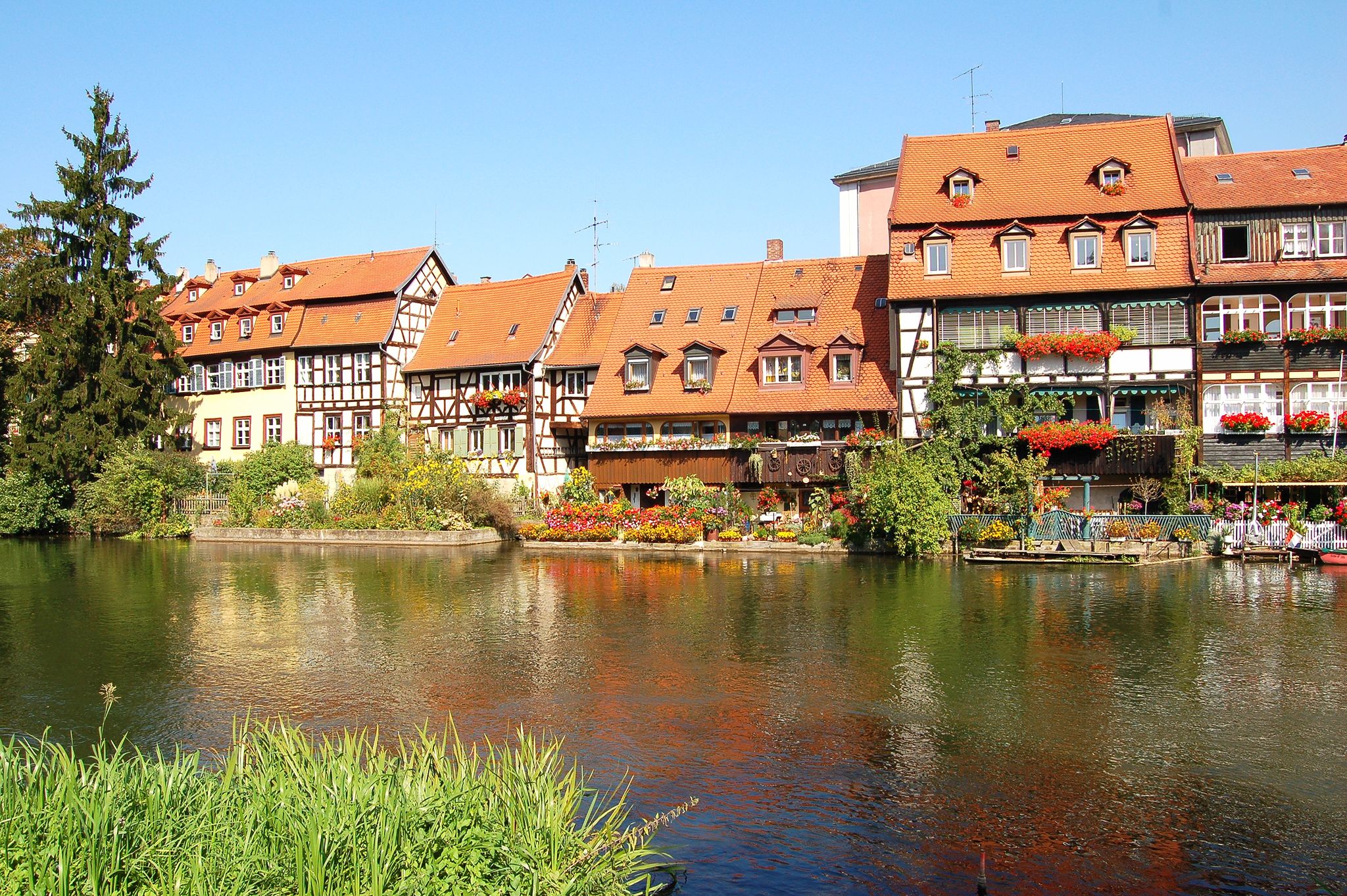
Other adventures in Maintalhänge Um Viereth-Trunstadt Und Oberhaid

Tips from the Community

I completely agree with that statement 👍🏻
0
0

Driving past was no problem
1
0

The spring was only dripping a little today, driving past it was no problem
0
0

Hubertus Stein on the heights of the Kreuzberg
0
0

You will find a variety of plant species here, including typical floodplain plants such as reeds and various aquatic plants.
2
0

Very beautifully designed Stations of the Cross. Great photo opportunities.
1
0
Small rock with a cross in a hollow. Next to it are hiking signs and a bench.
3
0
Beautiful hiking trail along the Main
0
0
Frequently Asked Questions
How many bus station hiking trails are available in Maintalhänge Um Viereth-Trunstadt Und Oberhaid?
There are over 1400 hiking routes accessible from bus stations in the Maintalhänge Um Viereth-Trunstadt Und Oberhaid region, offering a wide variety of options for all fitness levels.
What kind of landscapes can I expect on these bus station hikes?
The bus station hikes in this region offer a diverse landscape, from picturesque Main river valleys and riverside paths to gentle slopes, dense forests, and lush meadows. You'll also encounter the unique cultural landscape of Franconia's easternmost vineyards.
Are there easy hiking options accessible from bus stations?
Yes, the region offers over 800 easy hiking routes that are accessible from bus stations. Many of these are gentle strolls along the Main river or through charming villages, perfect for a relaxed outing.
Can I find circular routes starting from bus stations?
Absolutely. Many of the trails are designed as circular routes, allowing you to start and end your hike at the same bus station. For example, the Hubertusstein loop from Hallstadt is a moderate circular hike with varied terrain.
What natural features or viewpoints can I discover on bus station trails?
Many routes offer stunning panoramic views of the Main valley and surrounding areas. You can visit the Vermisstenkreuz viewpoint on Vorderer Rauhberg or enjoy the View of Bamberg and the Main Valley from Kreuzberg. Some trails also pass by natural monuments like the Mountain spring between Dorfleins and Kemmern.
Are there historical sites or cultural landmarks along these routes?
Yes, the region is rich in history. You can explore the ruins of St. Helen's Chapel on routes like the Ruins of St. Helen's Chapel – Main River Riverside Path loop from Hallstadt. Other historical points of interest include the Hubertusstein and the Crucifixion Pavilion at Bamberger Kreuzberg.
Can I experience the region's vineyards on a bus station hike?
Yes, the Maintalhänge is known for its vineyards. While specific routes are not listed here, many trails in the area, particularly those around Viereth-Trunstadt, traverse these unique landscapes, offering a glimpse into local wine-making traditions.
Are the bus station hiking trails suitable for families?
Many of the easy and moderate trails are suitable for families. Look for routes with less elevation gain and shorter distances. The diverse scenery, including river paths and forests, provides an engaging experience for all ages.
Can I bring my dog on these hikes?
Most trails in the Maintalhänge Um Viereth-Trunstadt Und Oberhaid region are dog-friendly. Always keep your dog on a leash, especially near wildlife or livestock, and be mindful of other hikers. Remember to carry water for your pet.
Where can I find refreshments or places to eat along the trails?
The trails often pass through charming villages like Viereth-Trunstadt and Oberhaid, where you can find traditional Franconian restaurants, breweries, and seasonal "Heckenwirtschaften" (wine taverns). The Waldschänke Rabenhorst Beer Cellar is also a popular spot.
What is the best season to hike from bus stations in this region?
The region is beautiful year-round, but spring and autumn are particularly recommended. In spring, the vineyards and forests burst with new life, while autumn offers vibrant foliage and pleasant temperatures. Summer is also great, especially for riverside walks.
What do other hikers enjoy most about the bus station trails in Maintalhänge Um Viereth-Trunstadt Und Oberhaid?
The area is highly rated by the komoot community, with an average score of 4.5 stars from over 7000 ratings. Reviewers often praise the diverse landscapes, the well-maintained paths, and the stunning panoramic views of the Main valley.
Which bus station hike offers a good mix of river views and historical interest?
The Main River Riverside Path – Ruins of St. Helen's Chapel loop from Hallstadt is an excellent moderate option. It combines scenic stretches along the Main river with a visit to the historical ruins of St. Helen's Chapel, offering both natural beauty and cultural insight.
Most popular routes in Maintalhänge Um Viereth-Trunstadt Und Oberhaid
Most popular attractions in Maintalhänge Um Viereth-Trunstadt Und Oberhaid

Get inspired with the komoot mobile app


Explore more
Browse the best Hikes in other regions.
