The best hikes from bus stations in Föritzgrund
4.6
(3740)
14,177
hikers
659
hikes
Bus station hiking trails in Föritzgrund offer a range of routes through varied terrain, suitable for different fitness levels. The region is characterized by natural water features like the Sichelreuth Ponds and areas with scenic vistas. Hikers can explore paths with moderate elevation changes, traversing landscapes that include open views and potentially forested sections. The area provides diverse hiking options, from shorter, easier walks to longer, more demanding treks.
Best bus station hiking trails in Föritzgrund
- The most popular bus…
Last updated: May 13, 2026
5.0
(2)
5
hikers
6.72km
01:46
60m
60m
Easy hike. Great for any fitness level. Easily-accessible paths. Suitable for all skill levels.
2
hikers
4.66km
01:14
40m
40m
Easy hike. Great for any fitness level. Easily-accessible paths. Suitable for all skill levels.

Sign up for free
5.0
(8)
24
hikers
8.26km
02:13
100m
100m
Moderate hike. Good fitness required. Easily-accessible paths. Suitable for all skill levels.
4.6
(5)
14
hikers
Easy hike. Great for any fitness level. Easily-accessible paths. Suitable for all skill levels.
5.0
(6)
10
hikers
Easy hike. Great for any fitness level. Easily-accessible paths. Suitable for all skill levels.
Get access to more routes and recommendations from other explorers.
Sign up for free
Already have an account?
Our route recommendations are based on thousands of hikes, rides, and runs completed by other people on komoot.
Start today with a free account
Your next adventure awaits.
Login or Signup
Popular around Föritzgrund
Other adventures in Föritzgrund

Tips from the Community

Very beautiful Frankenwaldsteigla along the former border
0
0
Very beautiful Frankenwaldsteigla along the former border
0
0

Particularly recommended early in the morning. The wonderful view and the silence.
0
0
The chancel was vaulted in the 16th century and the churchyard was surrounded by a defensive wall with a gate tower and battlement. The altar and baptismal font were also created during this time. During the Thirty Years' War, almost the entire village was destroyed, apart from the fortified church, which was only damaged. The village and the church were rebuilt in the second half of the 17th century. The interior was modeled on the mother church in Mupperg. The gallery is missing painting. A mural depicts the parable of the four fields.
4
0

Quiet location with the opportunity to rest.
1
0
A predecessor chapel is said to have existed in the 11th century, which acquired its present form through extensions in the 15th/16th century.
0
0

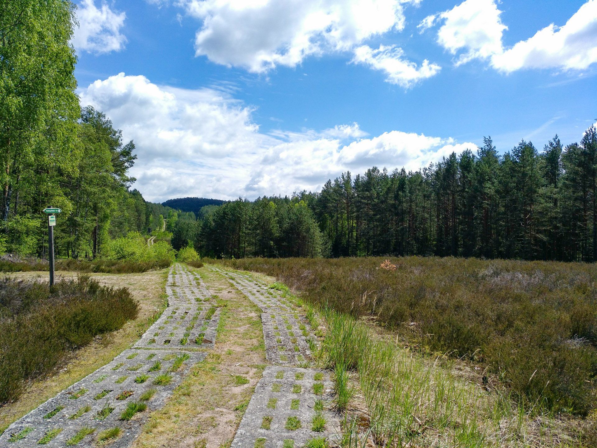
This historic patrol route is a relic from the division of Germany.
22
0

The Frankenwaldsteigla Green Belt from Mitwitz also passes by here.
3
0
Frequently Asked Questions
How many bus station hiking trails are available in Föritzgrund?
Föritzgrund offers a wide selection of hiking trails accessible directly from bus stations, with over 650 routes available. These range from easy strolls to more challenging treks, ensuring there's something for every hiker.
What kind of landscapes can I expect on Föritzgrund's bus station hikes?
The trails in Föritzgrund showcase diverse natural beauty, including scenic vistas, natural water features, and varied terrain. You can find routes that explore areas like the Rest Area at Sichelreuth Ponds or offer views of the Green Belt, providing a mix of open landscapes and wooded sections.
Are there easy hiking options from bus stations in Föritzgrund?
Yes, Föritzgrund has numerous easy hiking options perfect for all abilities. For example, the View of Sichelreuth – Föritzgrund Pond loop from Gefell is an easy 6.7 km route, and the View towards Rohof loop from Gefell offers a pleasant 4.6 km walk, both starting conveniently from bus stops.
What are some longer or more challenging bus station hikes in Föritzgrund?
For those seeking a longer adventure, the Rohof Fresh Milk Vending Machine – Rohof warehouse loop from Rottmar is a moderate 12.2 km hike with some elevation gain. Another moderate option is the Rotheul Observatory – View of the Green Belt loop from Föritzgrund, covering 8.2 km.
What do other hikers say about the trails in Föritzgrund?
The komoot community highly rates the hiking experience in Föritzgrund, with an average score of 4.6 out of 5 stars from over 3,600 ratings. Hikers often praise the well-maintained paths, the accessibility from public transport, and the peaceful natural surroundings.
Are there any circular routes starting from bus stations?
Many of the trails accessible from bus stations in Föritzgrund are circular, allowing you to return to your starting point without needing to retrace your steps. Examples include the View of the Green Belt – Rotheul Observatory loop from Föritzgrund and the View of Sichelreuth – Föritzgrund Pond loop from Gefell.
What points of interest can I find along the bus station hiking trails?
Along the trails, you can discover various points of interest. Notable attractions include the tranquil Rest Area at Sichelreuth Ponds, the flowing Föritz Stream, and the Hans-Georg Büttner Memorial Stone. These offer opportunities for rest, reflection, and enjoying the local history and nature.
Is Föritzgrund suitable for family-friendly hikes from bus stations?
Yes, Föritzgrund offers many easy and moderate trails that are suitable for families. The region's diverse paths, including those around natural water features, provide engaging experiences for all ages. Look for shorter, less strenuous routes for a pleasant family outing.
Can I bring my dog on the bus station hiking trails in Föritzgrund?
Many trails in Föritzgrund are dog-friendly, allowing you to enjoy the outdoors with your canine companion. It's always recommended to keep dogs on a leash, especially in nature reserve areas or near wildlife, and to check specific trail regulations if available.
What is the best time of year to hike in Föritzgrund?
Föritzgrund is enjoyable for hiking throughout much of the year. Spring brings blooming flora, summer offers lush greenery, and autumn provides beautiful fall colors. While winter hiking is possible, be prepared for colder temperatures and potentially snowy or icy conditions, especially on longer routes.
Are there amenities like cafes or restaurants near the bus station trailheads?
While specific amenities directly at every bus station trailhead may vary, the Föritzgrund region generally offers options for refreshments and meals in nearby towns and villages. It's advisable to check local listings or pack provisions for your hike, especially for longer routes.
Most popular routes in Föritzgrund
Most popular attractions in Föritzgrund

Get inspired with the komoot mobile app


Explore more
Browse the best Hikes in other regions.
