The best hikes from bus stations in Öchsenberg
4.6
(2360)
7,787
hikers
296
hikes
Bus station hiking trails in Öchsenberg traverse a landscape shaped by its volcanic origins within the Rhön Biosphere Reserve. The region features rolling hills, dense forests, and distinctive basalt formations. Öchsenberg itself is an extinct volcano, offering varied terrain from forested slopes to open views. The area provides a network of routes suitable for exploring its natural and historical features.
Best bus station hiking trails in Öchsenberg
- The most popular bus station hiking route is Basalt cliff at Öchsenberg –…
Last updated: June 25, 2026
4.9
(31)
96
hikers
Moderate hike. Good fitness required. Easily-accessible paths. Suitable for all skill levels.
5.0
(40)
107
hikers
7.95km
02:27
290m
290m
Moderate hike. Good fitness required. Easily-accessible paths. Suitable for all skill levels.

Sign up for free
4.0
(2)
12
hikers
6.55km
02:09
310m
310m
Moderate hike. Good fitness required. Easily-accessible paths. Suitable for all skill levels.
3.6
(5)
22
hikers
6.93km
02:02
200m
200m
Moderate hike. Good fitness required. Easily-accessible paths. Suitable for all skill levels.
4.8
(4)
10
hikers
6.17km
01:39
70m
70m
Easy hike. Great for any fitness level. Easily-accessible paths. Suitable for all skill levels.
Get access to more routes and recommendations from other explorers.
Sign up for free
Already have an account?
Our route recommendations are based on thousands of hikes, rides, and runs completed by other people on komoot.
Start today with a free account
Your next adventure awaits.
Login or Signup

Other adventures in Öchsenberg


Tips from the Community

Stairs to the summit and cross, very nice hike
0
0

It's crazy how powerful volcanoes are, it's interesting.
9
0
What fun, says Claudi. The thing is 😎🤘
8
0
We were lucky that we got an individual guidance and instruction with the javelin, Thomas Thank you that was 😎👌
5
0
A 😎🤘 rest and party place👌Röhnclub very 😎🤘
7
0
Mega impressive basalt wall
8
0
Beautiful country, beautiful view, you can't get enough of it.🫠
8
0

The many information boards provide great insights into the history and geology of the Öchsenberg.
0
0
Frequently Asked Questions
How many bus station hiking trails are available in Öchsenberg?
There are over 300 hiking trails in Öchsenberg that are easily accessible from bus stations, offering a wide range of options for all skill levels.
Are there easy hiking trails accessible from bus stations in Öchsenberg?
Yes, Öchsenberg offers a good selection of easy trails starting from bus stations. You can find over 120 easy routes, such as the Larauer Berg – View of Öchsenberg loop from Sünna, which is just over 6 km long with minimal elevation gain, making it perfect for a relaxed outing.
Are there circular hikes available directly from bus stops in Öchsenberg?
Many of the trails accessible from bus stations in Öchsenberg are designed as circular routes, allowing you to start and end your hike at the same point. An example is the Basalt cliff at Öchsenberg – Öchsenberg Weather Station loop from Völkershausen, which offers a moderate challenge over 7.6 km.
What kind of views or natural features can I expect on these trails?
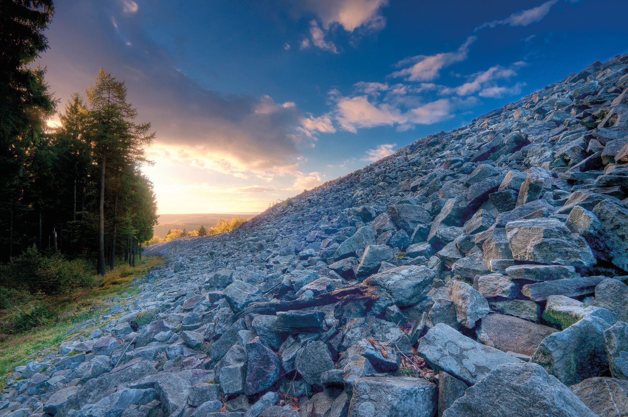
The trails in Öchsenberg, a region shaped by its volcanic past, offer diverse natural features. You can expect panoramic views from summits like the Öchsenberg Summit and Celtic Cross, as well as unique basalt formations like the "Stone Seas." The area is also rich in dense forests and diverse habitats.
Are the hiking trails from bus stations in Öchsenberg suitable for families?
Absolutely. Many trails are suitable for families, especially the easier ones. The region's natural beauty and historical sites like the Sünna Celtic Village, which can be part of a loop like the Paulinenquelle – Sünna Celtic Village loop from Völkershausen, provide engaging experiences for all ages.
Can I bring my dog on hikes starting from bus stations in Öchsenberg?
Yes, Öchsenberg is known for its dog-friendly routes. The paths are generally well-maintained, and the extensive forests provide plenty of shade, making it a great destination for hiking with your canine companion. Always keep your dog on a leash and respect local wildlife.
What historical sites or attractions can I find near the bus station hiking trails?
Öchsenberg is rich in history. You can explore ancient Celtic settlements, such as the Sünna Celtic Village, or discover traces of defensive walls near the Paulinenquelle. The Öchsenberg Summit and Celtic Cross also holds historical significance.
Are there places to eat or rest along the bus station hiking trails?
Yes, several trails pass by hiker-friendly huts. For instance, the Oechsenberg Hut (Öchsenberg Summit Hut), located just below the summit, offers refreshments and a cozy place to rest, especially on weekends. The Dermbacher Hütte near Gläserberg Summit is another popular stop.
What is the best time of year to hike from bus stations in Öchsenberg?
The Öchsenberg region is beautiful year-round, but spring and autumn offer particularly pleasant hiking conditions with mild temperatures and vibrant foliage. Summer is also great, especially in the forested areas, while winter can provide a unique, serene experience for those prepared for colder weather.
What do other hikers enjoy the most about hiking in Öchsenberg?
The area is highly rated by the komoot community, with an average score of 4.6 stars. Reviewers often praise the diverse landscapes, from volcanic basalt formations to dense beech forests, and the magnificent panoramic views from the summits. The well-maintained paths and the region's historical significance are also frequently highlighted.
How long do hikes from bus stations in Öchsenberg typically take?
Hikes from bus stations in Öchsenberg vary in length and duration. Many popular routes, like the Paulinenquelle – Öchsenberg Weather Station loop from Sünna, are around 7-8 km and can take approximately 2 to 2.5 hours to complete, depending on your pace and stops.
Most popular routes in Öchsenberg
Most popular attractions in Öchsenberg

Get inspired with the komoot mobile app


Explore more
Browse the best Hikes in other regions.
