The best hikes from bus stations in Nsg Rothaarkamm Und Wiesentäler
4.6
(9634)
33,556
hikers
478
hikes
Hiking in Nsg Rothaarkamm Und Wiesentäler offers diverse landscapes characterized by forested ridges, picturesque meadow valleys, and unique moor landscapes. The region is the source of several rivers, including the Eder and Benfe, which flow through moist valleys. The terrain is generally hilly, providing varied routes for different fitness levels.
Best bus station hiking trails in Nsg Rothaarkamm Und Wiesentäler
- The most popular bus station hiking route is Seebachtal Pond – Narrow Trails at Ederkopf loop from Ludwigseck, a…
Last updated: July 9, 2026
5.0
(7)
25
hikers
12.0km
03:15
170m
170m
Moderate hike. Good fitness required. Easily-accessible paths. Suitable for all skill levels.
4.6
(10)
42
hikers
Moderate hike. Good fitness required. Easily-accessible paths. Suitable for all skill levels.

Sign up for free
4.6
(13)
27
hikers
9.22km
02:30
130m
130m
Moderate hike. Good fitness required. Easily-accessible paths. Suitable for all skill levels.
5.0
(4)
14
hikers
Easy hike. Great for any fitness level. Easily-accessible paths. Suitable for all skill levels.
1.0
(1)
7
hikers
18.6km
05:00
220m
230m
Moderate hike. Good fitness required. Easily-accessible paths. Suitable for all skill levels.
Get access to more routes and recommendations from other explorers.
Sign up for free
Already have an account?
Our route recommendations are based on thousands of hikes, rides, and runs completed by other people on komoot.
Start today with a free account
Your next adventure awaits.
Login or Signup
Popular around Nsg Rothaarkamm Und Wiesentäler
Other adventures in Nsg Rothaarkamm Und Wiesentäler

Tips from the Community

Top forest playground in the Ginsburger Heide.
0
0
Huts with a view of the ski slope and the newly opened Liftschänke.
0
0
Top large area at the Giller for the most varied festivities.
0
0

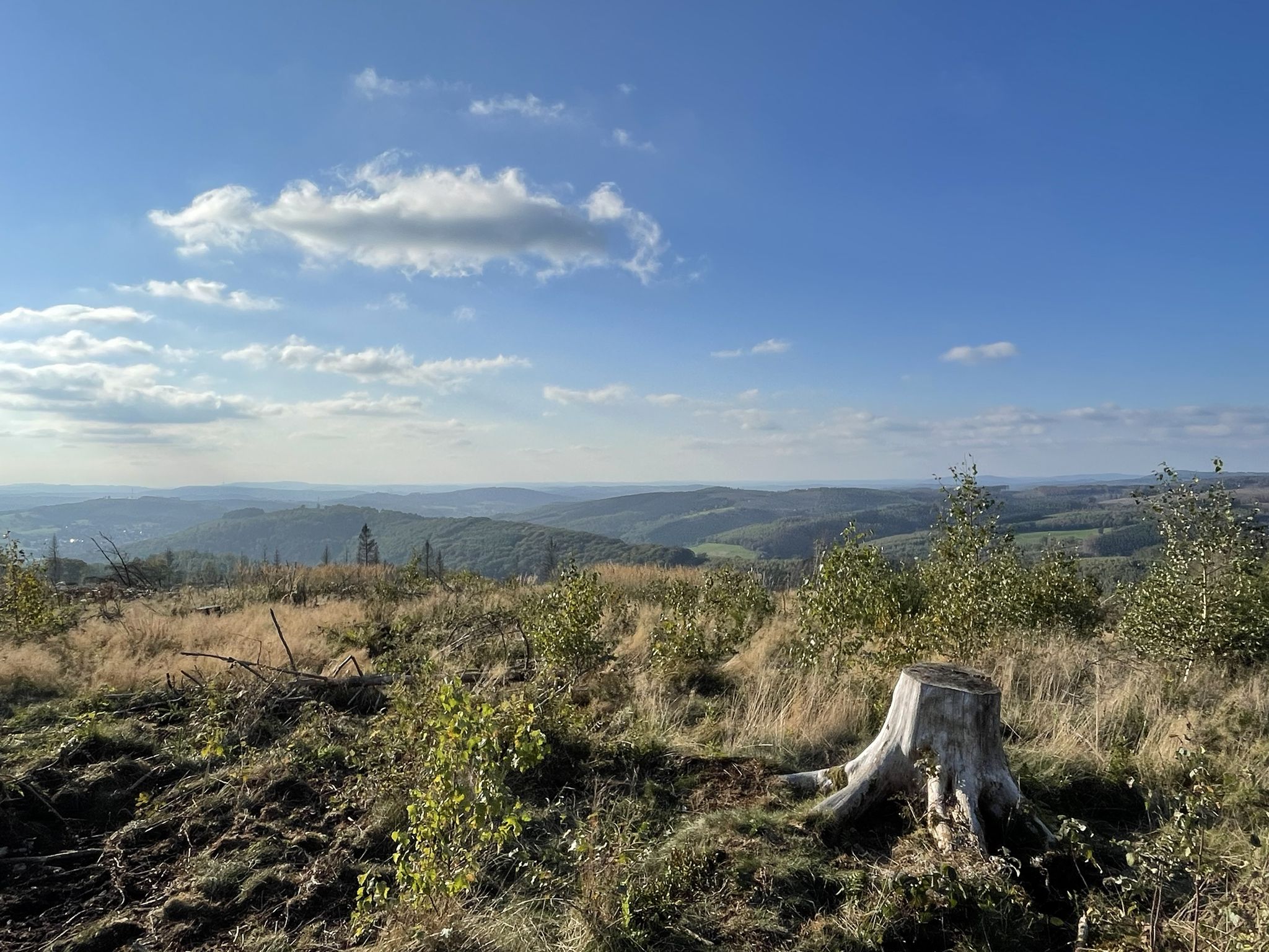
Currently very little tree cover, but a fantastic view
0
0
Quiet pond on easy-to-ride paths
0
0
Small pond with seating
0
0

Unfortunately, you can't cross the ford by bike, but the rest should be easy enough.
0
0

Frequently Asked Questions
How many bus station hiking trails are available in Nsg Rothaarkamm Und Wiesentäler?
There are 12 hiking routes in Nsg Rothaarkamm Und Wiesentäler that are easily accessible from bus stations. These trails offer a variety of experiences, ranging from easy strolls to more challenging moderate hikes.
What kind of terrain can I expect on the bus station hiking trails?
The trails accessible from bus stations in Nsg Rothaarkamm Und Wiesentäler traverse a diverse landscape. You'll find enchanting forested ridges, picturesque meadow valleys, and unique features like acidophilic beech forests and moor landscapes. The terrain is generally hilly, providing varied and engaging routes.
Are there circular hiking routes available from bus stops?
Yes, many of the bus station accessible trails are circular routes, perfect for a day trip without needing to retrace your steps. For example, consider the moderate 12 km loop, Seebachtal Pond – Narrow Trails at Ederkopf loop from Ludwigseck, or the slightly shorter Seebachhöhe Junction – Upper Seebach Pond loop from Ludwigseck.
What natural attractions can I see along the bus station hiking trails?
The trails offer access to several beautiful natural attractions. You can explore the Upper Eder Valley, witness the unique Drei Fichten Quarry, or discover the serene Meanders of the Benfe River near Ludwigseck. Many routes also feature charming wooden bridges over rivers like the Eder.
Are there easy hiking options accessible from bus stops?
Absolutely. There are 4 easy routes among the bus station accessible trails. A great option for a relaxed walk is the Seebachtal Pond – Seebachweiher loop from Ludwigseck, which covers about 6.8 km and is suitable for most fitness levels.
Are the bus station hiking trails suitable for families with children?
Yes, many of the trails, especially the easier ones, are suitable for families. The diverse landscapes with forests and meadows provide an engaging environment for children. Look for routes with shorter distances and less elevation gain for a family-friendly experience.
Can I bring my dog on these hikes?
Generally, dogs are welcome on the hiking trails in Nsg Rothaarkamm Und Wiesentäler. However, it's always advisable to keep them on a leash, especially in nature reserve areas, to protect wildlife and ensure a pleasant experience for all hikers. Please be mindful of local regulations.
When is the best time of year to hike from bus stations in Nsg Rothaarkamm Und Wiesentäler?
The Nsg Rothaarkamm Und Wiesentäler is beautiful year-round. Spring brings lush greenery and blooming wildflowers, while autumn offers stunning fall foliage. Summer is ideal for longer hikes, and even winter can be magical with snow-covered landscapes, though some paths might be more challenging. Always check weather conditions before heading out.
What do other hikers say about the bus station trails in Nsg Rothaarkamm Und Wiesentäler?
The hiking routes in Nsg Rothaarkamm Und Wiesentäler are highly rated by the komoot community, with an average score of 4.6 out of 5 stars from over 8,800 reviews. Reviewers often praise the well-preserved natural landscapes, the extensive network of trails, and the peaceful atmosphere of the forested ridges and meadow valleys.
Are there any viewpoints on the trails accessible by bus?
Yes, the hilly terrain of the region offers several scenic viewpoints. The geographical center of the Siegen-Wittgenstein district, for instance, provides excellent views of the surrounding nature reserve. Many trails will lead you to elevated spots with panoramic vistas of the forests and valleys.
What is the longest moderate hike I can take from a bus station?
For a longer moderate hike, consider the Bridge over the Eder River – Eder Headwaters loop from Ludwigseck. This route spans approximately 18.5 km and takes you through varied landscapes, including the source region of the Eder River.
Most popular routes in Nsg Rothaarkamm Und Wiesentäler
Most popular attractions in Nsg Rothaarkamm Und Wiesentäler

Get inspired with the komoot mobile app


Explore more
Browse the best Hikes in other regions.
