The best traffic-free bike rides in Natuurreservaat Ortolaan
4.5
(253)
14,685
riders
379
rides
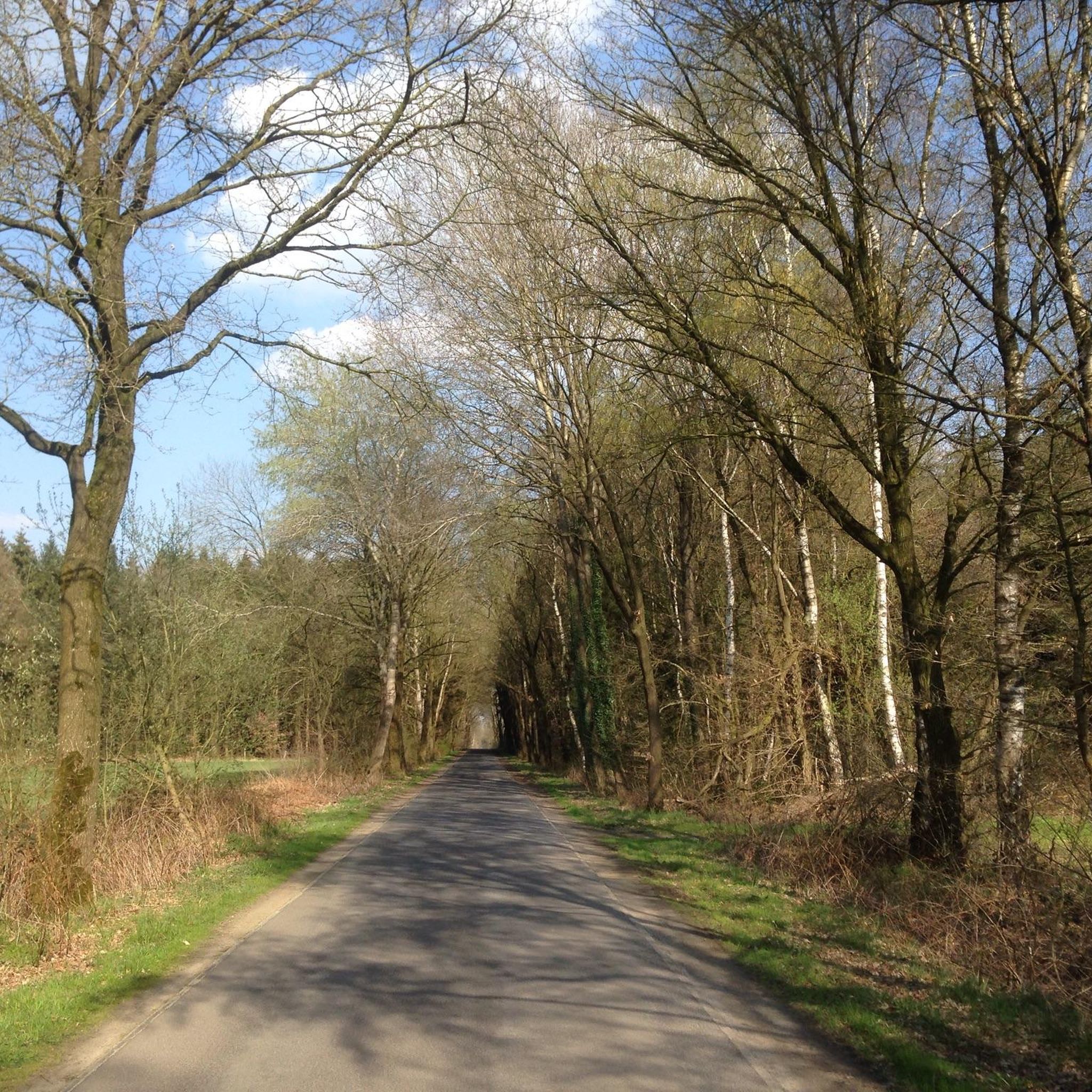
No traffic road cycling routes in Natuurreservaat Ortolaan traverse a diverse landscape within the Dommel Valley, characterized by meandering rivers, alder forests, and hay meadows. The terrain includes wetland ecosystems with small fish ponds and reed fields, contrasting with higher grounds featuring fields and pine forests. Elevations are generally low, with most routes involving gentle inclines and hills rather than significant climbs.
Best no traffic road cycling routes in Natuurreservaat Ortolaan
- The most popular no traffic road cycling route is…
Last updated: July 9, 2026
50
riders
86.2km
03:53
220m
220m
Moderate road ride. Good fitness required. Some segments of this route may be unpaved and difficult to ride.
5.0
(1)
71
riders
Easy road ride. Great for any fitness level. Mostly well-paved surfaces and easy to ride.

Sign up for free
4.0
(2)
59
riders
47.2km
02:02
130m
130m
Moderate road ride. Good fitness required. Mostly well-paved surfaces and easy to ride.
83
riders
58.9km
02:33
150m
150m
Moderate road ride. Good fitness required. Mostly well-paved surfaces and easy to ride.
4.5
(11)
401
riders
61.1km
03:38
100m
100m
Moderate road ride. Good fitness required. Some segments of this route may be unpaved and difficult to ride.
Get access to more routes and recommendations from other explorers.
Sign up for free
Already have an account?
Our route recommendations are based on thousands of hikes, rides, and runs completed by other people on komoot.
Start today with a free account
Your next adventure awaits.
Login or Signup
Popular around Natuurreservaat Ortolaan

Tips from the Community

The bicycle bridge consists of 6 bridge sections, which together contain more than 500 tons of steel. The largest bridge section is 44 meters long and weighs 130 tons. The complete bicycle bridge is 200 meters long and 6 meters wide. You cycle or walk 10 meters above the water surface.
3
0

The 'De Teut' nature reserve lies at the foot of the Kempen plateau. The Roosterbeek has carved out a wide valley here. Thanks to this varied terrain, a great diversity of plant communities has developed: coniferous forests, heathlands, ponds, and riparian forests. The prominent plateau edge at the entrance to the reserve offers a magnificent view over a large part of Midden-Limburg.
0
0
Here we mainly find meadows and grasslands, interspersed with valuable groves. Intensive management through deforestation and mowing has restored the rich flora of yesteryear. Currently, the following plants can be found among others: wood anemone, dandelion, lily of the valley, cranesbill, muskroot, lady's mantle, and Jacob's ladder. Birds are also abundant here: tawny owl, little owl, lapwing, chiffchaff, hoopoe, willow warbler, bluethroat, reed bunting, and many others. The area is freely accessible, but there are no marked hiking trails.
0
0

A beautiful structure along the locks.
1
0
Cycle bridge next to the road bridge. A beautiful structure for a safe crossing.
0
0

Wonderful area for a break. Extremely cool in winter as well when there can be a nice ice cover on the water.
1
0
The Beringen Coal Mine was one of seven mines in the Kempen coal basin. This Kempen mining operation was located in Beringen, but the mine itself is located in the area of Koersel, now a sub-municipality of Beringen (Belgium).
6
0

The recreation area is known to many as "het (Koersels) kapelleke" (the Koersels chapel), as it grew around the chapel of Our Lady of the Stakes and has been a place of pilgrimage since 1826. The observation tower is the focal point of this wooded area. Anyone who climbs the nearly 30-meter-high tower can look out over the typical Kempen landscape. The area includes a playground, minigolf, trick pin courts, a splash pond, and numerous beautiful camping sites for youth clubs. Sports enthusiasts can enjoy an orienteering run. The hiking opportunities are endless. Source and more: https://www.beringen.be/recreatie-t-fonteintje Admission to the playground, observation tower, and splash pond is free. Open from the beginning of the Easter holidays until the end of the autumn holidays. Opening hours at https://www.visitberingen.be/fonteintje
3
0
Frequently Asked Questions
How many no traffic road cycling routes are available in Natuurreservaat Ortolaan?
Natuurreservaat Ortolaan offers a wide selection of traffic-free road cycling routes, with over 350 options available. These routes cater to various skill levels, including 76 easy, 267 moderate, and 12 difficult rides.
What kind of terrain can I expect on traffic-free road cycling routes in Natuurreservaat Ortolaan?
The terrain in Natuurreservaat Ortolaan is generally moderate, with limited elevation gain, making it accessible for various fitness levels. You'll cycle through diverse landscapes including lush alder forests, hay meadows, and along the meandering Dommel and Bolisserbeek rivers. Higher grounds may feature fields and pine forests, offering varied scenery. While primarily road cycling, some routes might include light gravel sections through forests.
Are there any easy, traffic-free road cycling routes suitable for beginners or families?
Yes, Natuurreservaat Ortolaan has 76 easy, traffic-free road cycling routes perfect for beginners or families. An excellent option is the Sint-Trudo Church loop from Peer, which is just over 30 km long and features minimal elevation gain. Another easy route is the View of the Fields – Path Between the Fields loop from Kleine-Brogel, offering 40.6 km of gentle cycling.
What interesting landmarks or natural features can I see along the routes?
Along the traffic-free routes, you can discover several points of interest. History enthusiasts might enjoy visiting the Molhem Prehistoric Burial Mounds, dating back to 800-500 BC. The Onze-Lieve-Vrouw van Vlaanderen Chapel, from 1840, also offers a cultural stop. Nature lovers will appreciate the diverse ecosystems of the Dommelvallei Nature Reserve, with its alder forests, hay meadows, and rich biodiversity, including many bird species. You might even encounter the unique Boardwalk Nature Reserve Ortolaan.
What do other road cyclists enjoy most about cycling in Natuurreservaat Ortolaan?
The komoot community highly rates road cycling in Natuurreservaat Ortolaan, with an average score of 4.6 out of 5 stars from over 240 ratings. Reviewers often praise the region's quiet, traffic-free routes, the diverse natural beauty of the Dommel Valley, and the well-maintained cycling infrastructure that makes for a pleasant and safe riding experience.
Are there any longer, more challenging traffic-free road cycling routes?
Yes, for those seeking a longer ride, there are several moderate and even difficult traffic-free routes. Consider the The Fonteintje Observation Tower – The old railroad loop from Peer, a moderate 63.5 km route. Another substantial option is the Lommel City Center – View of the Fields loop from Wijchmaal, which covers 61.6 km through varied landscapes.
Can I find circular or loop routes for traffic-free road cycling?
Many of the traffic-free road cycling routes in Natuurreservaat Ortolaan are designed as circular loops, allowing you to start and end at the same point. Examples include the The Fonteintje Observation Tower – Beringen Coal Mine loop from Peer, a moderate 47.9 km ride, and the shorter Sint-Trudo Church loop from Peer.
What is the best season to enjoy traffic-free road cycling in Natuurreservaat Ortolaan?
The spring and summer months are particularly beautiful for road cycling in Natuurreservaat Ortolaan. During these seasons, the hay meadows are vibrant with wildflowers like ragged-robin and cuckooflower, attracting various birds and butterflies. The weather is generally mild, making for comfortable riding conditions. Autumn also offers picturesque scenery with changing foliage.
Are there places to stop for a picnic or rest along the routes?
Yes, the region is well-equipped for cyclists. You can find designated picnic spots, such as the Picnic table at cycling junction, which are often conveniently located along the cycling network. These spots provide ideal places to rest and enjoy the natural surroundings.
Is Natuurreservaat Ortolaan suitable for birdwatching while cycling?
Absolutely. Natuurreservaat Ortolaan is known as a 'paradise for birdwatchers' due to its rich biodiversity. While cycling, you might spot a variety of species, including hawks, buzzards, bee-eaters, buntings, kingfishers, and black woodpeckers, especially in the alder forests and near the reed fields and fish ponds.
What are the typical distances for traffic-free road cycling routes in the area?
The distances for traffic-free road cycling routes in Natuurreservaat Ortolaan vary significantly. You can find shorter, easy routes around 30-40 km, such as the Sint-Trudo Church loop from Peer (30.9 km). For longer rides, there are moderate options extending over 60 km, like The Fonteintje Observation Tower – The old railroad loop from Peer (63.5 km).
Most popular routes in Natuurreservaat Ortolaan
Most popular attractions in Natuurreservaat Ortolaan

Get inspired with the komoot mobile app


Explore more
Browse the best Road cycling routes in other regions.
