The best traffic-free bike rides in Natuurreservaat Eksterheide En Omgeving
4.3
(1003)
14,307
riders
445
rides
Natuurreservaat Eksterheide En Omgeving offers no traffic touring cycling routes through a varied landscape of wet and dry heathlands, open sand dunes, and shallow fens. The area features oak-birch and pine forests, which are undergoing transformation into diverse mixed woodlands. Ecological restoration efforts have re-established original heath and sand dune landscapes, with natural grazing by Galloway cattle and Konik horses maintaining the open character. Touring cyclists can expect a mix of broad sandy paths, small forest trails, and smooth cycle…
Last updated: September 1, 2026
4.8
(12)
74
riders
52.3km
03:08
70m
70m
Moderate bike ride. Good fitness required. Mostly paved surfaces. Suitable for all skill levels.
69
riders
Hard bike ride. Good fitness required. You may need to push your bike for some segments of this route.

Sign up for free
3.5
(6)
44
riders
Easy bike ride. Great for any fitness level. Mostly paved surfaces. Suitable for all skill levels.
4.5
(2)
42
riders
Easy bike ride. Great for any fitness level. Mostly paved surfaces. Suitable for all skill levels.
3.5
(2)
35
riders
Moderate bike ride. Good fitness required. Mostly paved surfaces. Suitable for all skill levels.
Get access to more routes and recommendations from other explorers.
Sign up for free
Already have an account?
Our route recommendations are based on thousands of hikes, rides, and runs completed by other people on komoot.
Start today with a free account
Your next adventure awaits.
Login or Signup
Popular around Natuurreservaat Eksterheide En Omgeving

Tips from the Community

History The chapel was erected in 1626. At that time, the region was plagued by a pest epidemic. Legend has it that about 60 inhabitants of Oostmalle fled the village with the disease to the heath at Zalfen. Adriaan Mattheeusen, an inhabitant of Zalfen, who lost some of his children to the epidemic, was obliged to bury them in the heath and erected a chapel in their memory. Soon, the chapel served for funeral services, and the dead were buried in the adjacent cemetery. The chapel soon became an attraction for pilgrims. For this reason, it was enlarged in 1726 to its current appearance (see upper part in the side gable dated by means of sintered stone). The chapel is depicted on Ferraris' cabinet map (1770-1778) on a triangular plot of heath. A loop of tall trees surrounds the chapel. On Vandermaelen's map (1846-1854), the chapel is located south of the Salphen road, amidst a triangular forest plot. Description The Sint-Antonius chapel of Salphen is located south of the Salphen road, an old avenue of predominantly tall English oaks (Quercus robur), and is surrounded by tall trees (mainly Scots pine, Pinus sylvestris). It is an oriented brick chapel with a three-sided closed west facade and a lower rectangular choir under slate gable roofs (ridge parallel to the street) with a bell tower. On the east side, there are two tuit-gables on shoulder pieces with crenellations. On the north side, there are rectangular windows and a basket-arch door and a basket-arch door. The plastered and painted interior has a wooden frame with a tie beam. The furniture includes an altar from the 19th century and a painted wooden statue of Saint Anthony Abbot (late 15th or early 16th century).
0
0

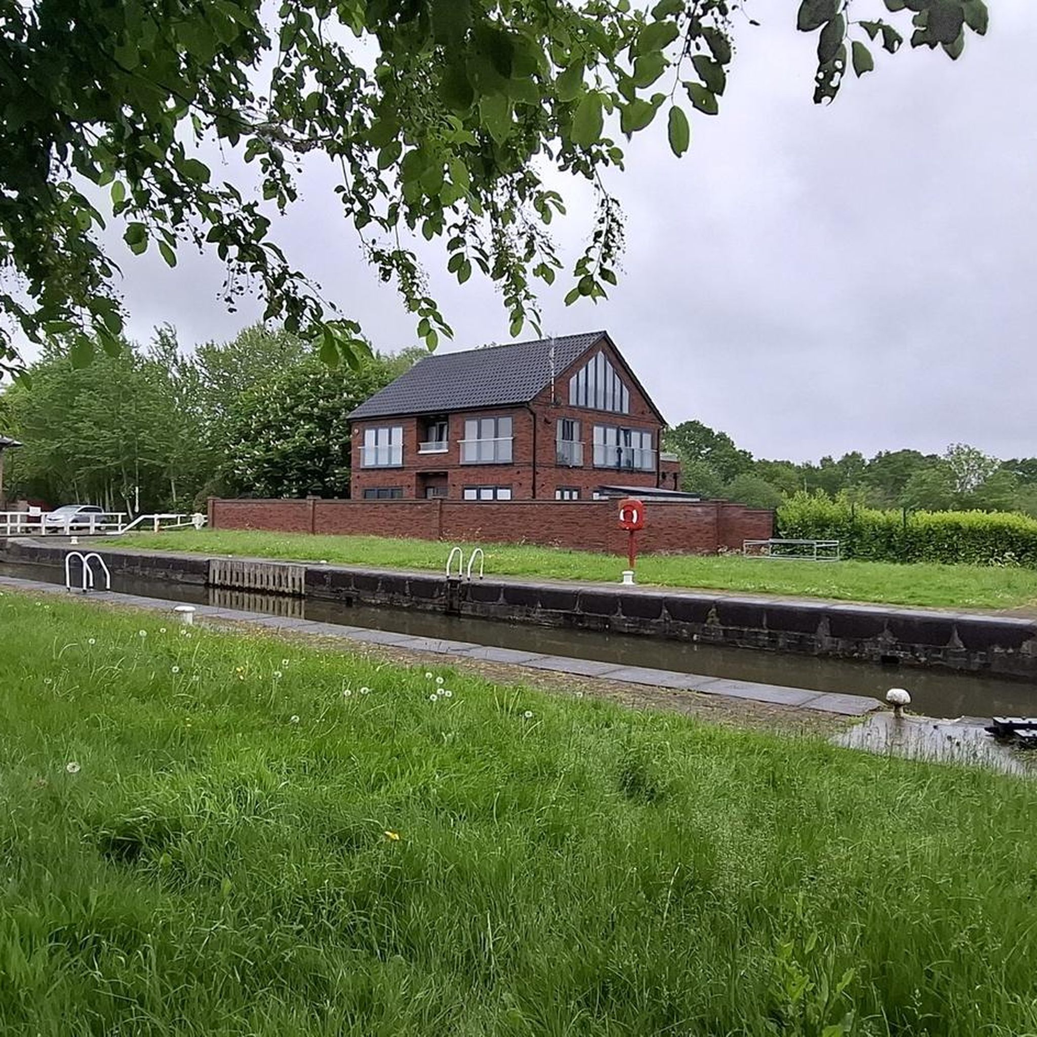
Very beautiful castle almost in the center of Oostmalle and yet surrounded by tranquility
0
0

The St. Anthony's Chapel is a chapel in the hamlet of Zalfen, located near Salphen, which is part of the Antwerp municipality of Malle. Nearby Oostmalle was hit by a plague epidemic around 1625. Around 60 sick people reportedly fled to the heath. A certain Adriaan Mattheeusen, who lost three children to the disease, had to bury them on the heath and built a chapel for this purpose. This chapel was soon also used for funeral services, and the deceased were buried in a nearby cemetery. The chapel attracted pilgrims and was therefore expanded in 1726. https://nl.wikipedia.org/wiki/Sint-Antoniuskapel_(Zalfen)
0
0
The Grotenhoutbos, also known as the Gierlese Bos, is a forest in Flanders, southwest of Turnhout, on the border of the municipalities of Vosselaar and Gierle. It covers an area of 375 hectares and is part of the Natura 2000 area "Forest and heathland areas east of Antwerp." https://nl.wikipedia.org/wiki/Grotenhoutbos
0
0

There are also often events held here.
1
0


beautiful recently renovated cycle path
0
0
Frequently Asked Questions
How many no traffic touring cycling routes are available in Natuurreservaat Eksterheide En Omgeving?
There are over 400 dedicated no traffic touring cycling routes in Natuurreservaat Eksterheide En Omgeving. These routes cater to various skill levels, with more than 200 considered easy and 169 moderate, ensuring a suitable option for almost every cyclist.
What are the typical surface types I can expect on these no traffic cycling routes?
The routes in Natuurreservaat Eksterheide En Omgeving offer a diverse range of surfaces. You'll find smooth cycle paths, especially along canals, as well as broad sandy paths, small forest trails, and even some charming boardwalks. The region's landscape transitions from heathlands to forests, providing varied terrain for exploration.
Are there any circular no traffic touring cycling routes in the area?
Yes, many of the no traffic touring cycling routes in Natuurreservaat Eksterheide En Omgeving are circular, allowing you to start and end at the same point. An example is the Grotenhoutbos Lake – Warandeplas loop from Sint-Jozef-Rijkevorsel, which offers a moderate 52.7 km ride through varied scenery.
What kind of elevation changes can I expect on these routes?
The terrain in Natuurreservaat Eksterheide En Omgeving is generally gentle, making it ideal for touring cyclists. Most routes feature minimal elevation changes, typically less than 100 meters of ascent and descent. For instance, the Lock 1 Rijkevorsel – Picnic Area by the Canal loop has only about 13 meters of elevation gain over 22 km.
Are there any easy or family-friendly no traffic cycling routes?
Absolutely. Natuurreservaat Eksterheide En Omgeving offers numerous easy and family-friendly no traffic routes. Over 200 routes are classified as easy, perfect for a relaxed ride with children or for beginners. The Gravel path De Roet – Tarstraat loop is a good example, providing a 30.5 km easy ride.
Can I bring my dog on the no traffic touring cycling trails?
While many natural areas in Belgium are dog-friendly, it's always best to check specific local regulations for Natuurreservaat Eksterheide En Omgeving, especially regarding nature reserves and protected areas. Generally, dogs are welcome on trails if kept on a leash, but some sensitive ecological zones might have restrictions. Look for signage at trailheads.
What attractions or points of interest can I see along the no traffic cycling routes?
The no traffic routes often pass by or near several natural attractions. You can discover the serene Duivelskuil Pond, explore parts of the Eksterheide Nature Reserve itself, or witness the ecological transformation at the Old Airfield becoming heathland. There's also a picnic spot with a view of Duivelskuil, perfect for a break.
Are there places to stop for refreshments or food near the routes?
Yes, the region around Natuurreservaat Eksterheide En Omgeving has various cafes and pubs, particularly in nearby towns and villages. While specific establishments aren't listed for every route, the area is well-equipped for visitors, and you'll often find options for a break and a meal within a short distance of the main cycling paths.
What is the best time of year to cycle in Natuurreservaat Eksterheide En Omgeving?
The best time to cycle in Natuurreservaat Eksterheide En Omgeving is typically from spring through early autumn (April to October). During these months, the weather is generally mild and pleasant, and the natural landscapes, including the heathlands and forests, are at their most vibrant. Summer offers longer daylight hours, while spring and autumn provide cooler temperatures and beautiful seasonal colors.
How long are the no traffic touring cycling routes in this region?
The no traffic touring cycling routes in Natuurreservaat Eksterheide En Omgeving vary significantly in length. You can find shorter, easy rides like the Lock 1 Rijkevorsel – Picnic Area by the Canal loop at 22 km, up to longer excursions such as the Westmalle Trappist Abbey – Zoerselbos loop, which covers over 61 km.
What do other touring cyclists enjoy most about cycling here?
The komoot community highly rates the touring cycling experience in Natuurreservaat Eksterheide En Omgeving, with an average score of 4.3 stars. Reviewers often praise the tranquility of the routes, the diverse natural landscapes, and the well-maintained paths that make for a relaxing and enjoyable ride away from traffic.
Most popular routes in Natuurreservaat Eksterheide En Omgeving
Most popular attractions in Natuurreservaat Eksterheide En Omgeving

Get inspired with the komoot mobile app


Explore more
Browse the best Cycling routes in other regions.
