The best city hikes and walks in Overasselt En Hatertsevennen
4.1
(903)
6,174
hikers
176
hikes
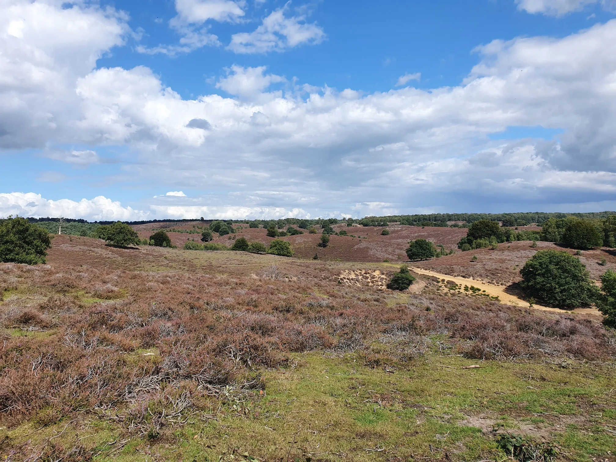
Urban hiking trails in Overasselt En Hatertsevennen traverse a diverse landscape situated between the Maas and Waal rivers. The area spans approximately 520 hectares, characterized by over twenty fens, high river dunes, and extensive heathlands. These natural features are interspersed with green forests, offering varied terrain for exploration. The region's topography includes depressions where fens have formed and elevated river dunes, contributing to a dynamic hiking environment.
Best urban hiking trails in Overasselt En Hatertsevennen
- The most popular urban hiking…
Last updated: September 1, 2026
9
hikers
Easy hike. Great for any fitness level. Easily-accessible paths. Suitable for all skill levels.
3
hikers
4.73km
01:12
10m
10m
Easy hike. Great for any fitness level. Easily-accessible paths. Suitable for all skill levels.

Sign up for free
3
hikers
3.45km
00:52
0m
0m
Easy hike. Great for any fitness level. Easily-accessible paths. Suitable for all skill levels.
3.0
(1)
2
hikers
2.85km
00:43
0m
0m
Easy hike. Great for any fitness level. Easily-accessible paths. Suitable for all skill levels.
4.0
(2)
11
hikers
4.14km
01:03
10m
10m
Easy hike. Great for any fitness level. Easily-accessible paths. Suitable for all skill levels.
Get access to more routes and recommendations from other explorers.
Sign up for free
Already have an account?
Our route recommendations are based on thousands of hikes, rides, and runs completed by other people on komoot.
Start today with a free account
Your next adventure awaits.
Login or Signup
Popular around Overasselt En Hatertsevennen
Other adventures in Overasselt En Hatertsevennen

Tips from the Community

really beautiful bridge
0
0

Every year an obstacle run takes place here 🔥🔥🔥
0
0

Lovely sheltered cycle path both left and right of the water
2
0

The Maas Waalkanaal connects the Waal, near Nijmegen, with the Maas near Mook.
26
0

Some impressions of this water-rich area
1
0

Kapsalon Esther, Agnetenweg 65, built in 1916 as a house and forge by Jan Derks (alias Jan de Smid) and purchased by blacksmith Jan Haarkens in 1945, once caused a lot of commotion. On February 3, 1950, the blacksmith was working early with three young workers when a huge explosion killed three of them (and seriously injured the fourth – a worker). Fortunately, the family members living there were spared, but the devastation was enormous. Afterwards it turned out that during the forging of pasture posts and fences from old war material, a pipe bomb with trotyl, which was in such an iron tube, had detonated, as they were also used to blow up casemates. The forge – so necessary for a village – was continued by a cousin.
0
0
On the corner of Agnetenweg and Nieuwstadweg there is an old shop building that once bore the name Klavertje Vier. There was a café on the corner around 1900; to the left of it the Spar, to the right of the café was an electric mill for the harvested grain from the village area. And behind that was a bakery. The mill was the first building here with electricity. There is currently a partial ban on use of the building, with the exception of the well-functioning waste center. Opposite it is the access to a large plot where - after much initial protest - the first, much-needed care center has now been built, by the De Waalboog healthcare institution. It offers space for 45 residential units. The care workers will also provide care to local residents who stay at home.
0
0
COMPOSITION, TEXT AND PHOTOS: HENK VOSKUILEN EDITING FOR KOMOOT: LEON RECEVEUR If you pass a RED sphere on this map, click on it for more information. In rainy weather, some passages are quite muddy. Start of the GPS circular walk Lindenholt is at the Zwanenstraat/Agnetenweg three-way junction (formerly the Dorpsstraat of Neerbosch). The Agnetenweg is the base of Lindenholt, in 1300 people started to mine the area from here. The name Agnetenweg was chosen after the construction of the Maas-Waal Canal, when the Dorpsstraat was excavated. Agneten refers to Agnieten, nuns who had a monastery a few hundred meters away. The associated monastery farm was located at Agnetenweg 119, but went up in flames in 1977 (when the monastery itself had disappeared for centuries). At that height, the Agnetenweg was called Nonnenstraat by local residents. On the other corner of the crossroads is Het Zwaantje (1864), which started as a farm and later also became a village café. The church on the other side is called the Agnes Church.
0
0
Frequently Asked Questions
How many urban hiking trails are available in Overasselt En Hatertsevennen?
There are over 160 urban hiking trails in Overasselt En Hatertsevennen, offering a wide range of options for different preferences and fitness levels. Most of these routes are considered easy, making them accessible for many hikers.
What kind of terrain can I expect on urban hikes in Overasselt En Hatertsevennen?
Urban hikes in Overasselt En Hatertsevennen feature a diverse landscape. You'll encounter unique fens, which are shallow lakes nestled between ancient river dunes, extensive heathlands that bloom purple in summer, and refreshing green forests. The varied topography, including sand dunes, makes for engaging paths.
Are there any historical landmarks or interesting sights along the urban trails?
Yes, the area is rich in history and natural beauty. You can explore the ruins of the 15th-century Sint Walrick Chapel and the nearby 'Fever Tree' (Lapjesboom), an ancient oak with a fascinating folk tale. Many trails also pass by the distinctive Hatert and Overasselt Ponds, which are central to the region's character.
Are the urban hiking trails in Overasselt En Hatertsevennen suitable for families with children?
Many of the urban hiking trails in Overasselt En Hatertsevennen are suitable for families. The majority of routes are rated as easy, and the diverse natural features like fens, forests, and heathlands provide an engaging environment for children to explore. Consider routes that are shorter in distance for younger hikers.
Can I bring my dog on the urban hiking trails?
Yes, many trails in Overasselt En Hatertsevennen are dog-friendly. The area even features a dedicated Dog Swimming Pond. However, it's always advisable to keep dogs on a leash, especially in nature reserves, to protect wildlife and respect other hikers.
Are there circular urban hiking routes available?
Yes, there are several circular urban hiking routes to enjoy. For example, the Goat Meadow loop from Wijchen offers a shorter, easy option, while the Goat Meadow – Lake Berendonck loop from Wijchen provides a moderate, longer circular experience.
What do other hikers say about the urban trails here?
The urban hiking trails in Overasselt En Hatertsevennen are highly rated by the komoot community, with an average score of 4.5 stars. Reviewers often praise the quiet natural beauty, the unique fens, and the well-maintained paths that make for a pleasant outdoor experience.
How can I get to the urban hiking trails using public transport?
While specific public transport routes directly to all trailheads might vary, the region is accessible from nearby towns like Nijmegen. You can plan your journey to a central point and then walk or cycle to the starting points of the urban trails. For detailed public transport information, it's best to consult local transport providers.
Where can I find parking for urban hikes in Overasselt En Hatertsevennen?
Parking facilities are generally available near popular starting points for trails within Overasselt En Hatertsevennen. Specific parking locations will depend on the trailhead you choose. It's recommended to check the details for your chosen route on komoot for the most accurate parking information.
What is the best time of year for urban hiking in Overasselt En Hatertsevennen?
The area offers beautiful hiking opportunities year-round. Spring brings fresh greenery, while summer showcases the heathlands in their vibrant purple bloom. Autumn offers stunning fall colors in the forests, and even winter can be magical with frosty landscapes around the fens. Your preference for scenery and weather will determine the best time for you.
Are there places to eat or drink near the urban hiking trails?
Yes, you can find options for refreshments. For instance, the Pancake House St. Walrick is conveniently located near some of the popular trails and historical sites, offering a pleasant stop during or after your hike.
What wildlife might I encounter on an urban hike?
Overasselt En Hatertsevennen is rich in biodiversity. Keep an eye out for badgers, rabbits, deer, and foxes. The area is also home to rare species like the garlic toad and numerous breeding birds. The diverse habitats of fens, heathlands, and forests support a wide array of flora and fauna.
Most popular routes in Overasselt En Hatertsevennen
Most popular attractions in Overasselt En Hatertsevennen

Get inspired with the komoot mobile app


Explore more
Browse the best Hikes in other regions.
