The best hikes from bus stations in Baumberge
4.6
(7390)
28,520
hikers
48
hikes
Bus station hiking trails in Baumberge navigate a landscape characterized by rolling hills, extensive beech forests, and open fields, distinguishing it from the flatter surrounding Münsterland. The region's highest point, the Westerberg, reaches 187.6 meters, offering varied terrain for hikers. Calcareous sandstone deposits form the subsoil, contributing to the area's unique geological features like sandstone quarries. This combination of woodland, open spaces, and gentle elevation provides diverse hiking experiences.
Best bus station hiking trails in Baumberge
- The most popular bus…
Last updated: June 25, 2026
4.8
(375)
1,132
hikers
12.4km
03:26
220m
220m
Moderate hike. Good fitness required. Easily-accessible paths. Suitable for all skill levels.
4.8
(175)
548
hikers
18.5km
04:56
200m
200m
Moderate hike. Good fitness required. Easily-accessible paths. Suitable for all skill levels.

Sign up for free
4.7
(90)
352
hikers
5.70km
01:33
80m
80m
Easy hike. Great for any fitness level. Easily-accessible paths. Suitable for all skill levels.
4.6
(129)
400
hikers
8.99km
02:27
140m
130m
Moderate hike. Good fitness required. Easily-accessible paths. Suitable for all skill levels.
4.7
(47)
143
hikers
17.8km
04:52
280m
280m
Moderate hike. Good fitness required. Easily-accessible paths. Suitable for all skill levels.
Get access to more routes and recommendations from other explorers.
Sign up for free
Already have an account?
Our route recommendations are based on thousands of hikes, rides, and runs completed by other people on komoot.
Start today with a free account
Your next adventure awaits.
Login or Signup
Popular around Baumberge
Other adventures in Baumberge

Tips from the Community

Keep your eyes open while hiking
3
0

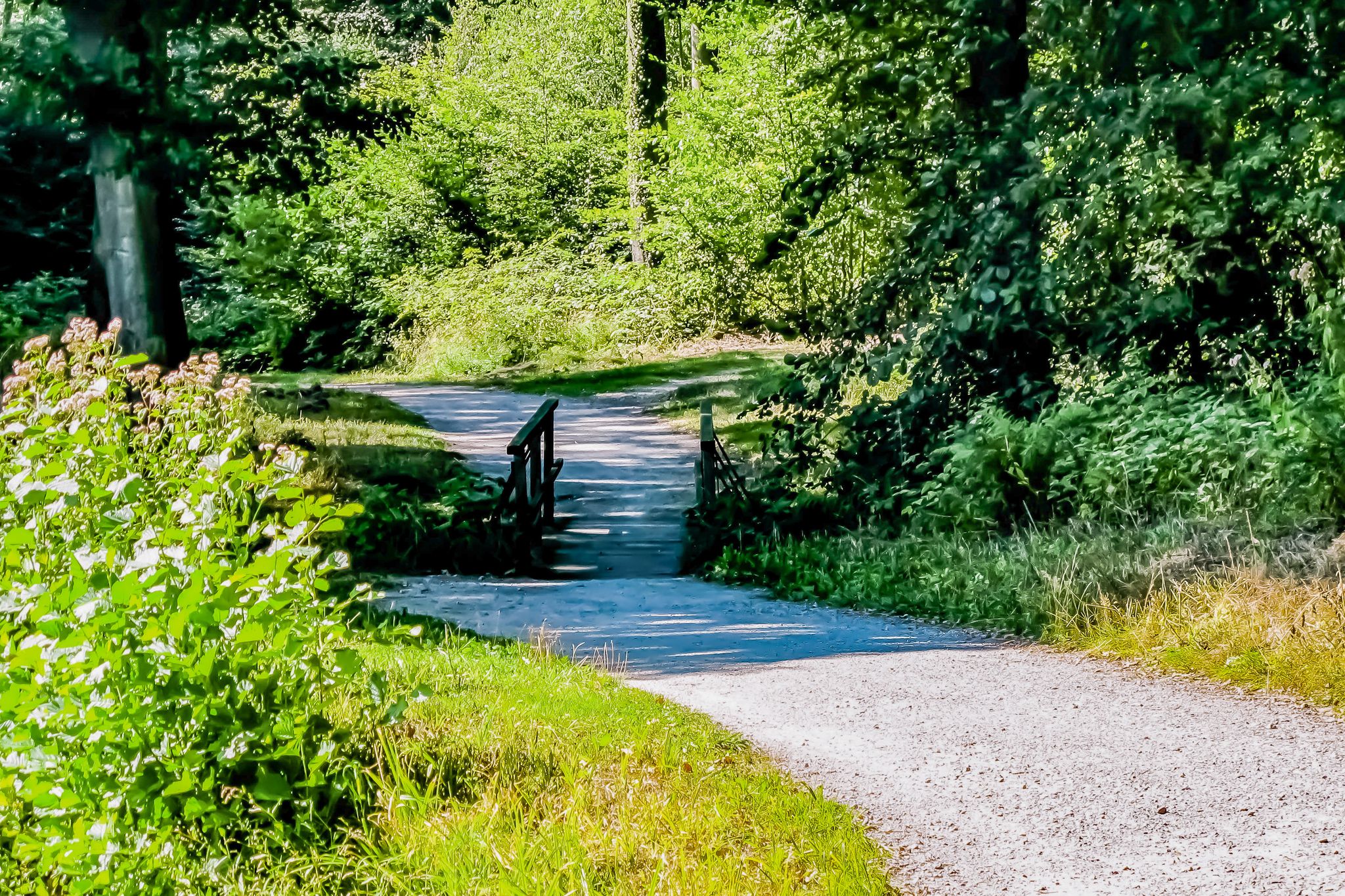
Beautiful hilly forest area for hiking, with beautiful views of the Münsterland region.
1
0

You walk along the edge of the forest and can see incredibly far. So beautiful
3
0
That view! That says it all
2
0
Beautiful narrow forest paths alternate with wider tracks and here and there a piece of asphalt. Beautiful.
0
0
The surroundings with rolling hills are beautiful
1
0
How far do you want to see? On a beautiful day you have an endless view over the Münsterland.
0
0

Frequently Asked Questions
How many hiking trails are accessible from bus stations in Baumberge?
There are over 45 hiking routes in the Baumberge region that are easily accessible from bus stations. These trails cater to various preferences, with 31 easy and 17 moderate options available.
What kind of terrain can I expect on bus-accessible hikes in Baumberge?
The Baumberge region offers a diverse landscape, characterized by rolling hills, expansive fields, meadows, and one of the largest contiguous beech forest areas in the region. You'll find paths with soft forest floors, and some trails may feature old sandstone quarries and marl pits, typical of the local cultural landscape. The highest point, Westerberg, reaches 187.6 meters, providing varied elevation changes.
Are there any easy, short hikes from bus stops suitable for beginners?
Yes, for beginners or those looking for a shorter stroll, the Tilbek Cross – View of Nottuln loop from Hoheberg is an excellent choice. This easy route covers about 4 km and takes around 1 hour and 10 minutes, offering gentle elevation changes.
Which bus-accessible routes offer panoramic views in Baumberge?
Many routes in Baumberge provide scenic vistas. For extensive panoramic views over the Baumberge and the wider Westphalian Bay, consider routes that pass by the Longinus Tower. The Longinus Tower – View of Billerbeck Cathedral loop from Brookbusch is a moderate 18.4 km hike that includes this iconic viewpoint. Another option is the View over the Baumberge – Bruder Klaus Chapel Havixbeck loop from Brookbusch, which offers wonderful views, especially around the Bruder Klaus Chapel Havixbeck.
Are there family-friendly hiking options accessible by bus in Baumberge?
Absolutely. The Baumberge region has many trails suitable for families, including shorter circular paths. The View over the Baumberge – Bruder Klaus Chapel Havixbeck loop from Brookbusch is a moderate 9 km route that can be enjoyed by families, offering a mix of nature and a scenic picnic spot at the chapel.
What interesting landmarks or attractions can I see along these bus-accessible trails?
The trails often lead past significant points of interest. You can encounter historical sites like the Baumberge Landwehr between Tilbecker Stream and Hoheberg or the Tilbeck Murder Cross. The Bruder Klaus Chapel Havixbeck is another beautiful spot. Many routes also traverse the extensive Baumberge Forest Trails, offering a deep dive into nature.
Are there any circular hiking routes that start and end near a bus station?
Yes, many of the bus-accessible routes are circular, allowing you to return to your starting point without needing additional transport. For example, the Baumberge Forest Trails – Baumberge Forest loop from Brookbusch is a moderate 12.3 km circular hike, perfect for exploring the region's woodlands.
What do other hikers say about the bus-accessible trails in Baumberge?
The Baumberge region is highly rated by the komoot community, with an average score of 4.6 out of 5 stars from over 6,900 ratings. Hikers often praise the region for its tranquil atmosphere, well-maintained paths, and the beautiful, varied landscapes, especially the extensive beech forests and panoramic viewpoints.
Can I find cafes or places to rest near the bus-accessible hiking trails?
Yes, the region offers amenities for hikers. The Longinus Tower, a prominent landmark on the Westerberg, hosts "Café Longinus," reputedly the highest café in Münsterland, offering a perfect spot for a break with a view. Many villages and towns in the Baumberge also provide cafes and restaurants easily reachable from bus stops.
What is the best time of year to hike in Baumberge using public transport?
The Baumberge region is beautiful year-round. Spring is particularly vibrant with flowering rape fields, while autumn offers stunning foliage in the beech forests. Summer provides pleasant temperatures for hiking, and even in winter, the trails can be enjoyed, especially on crisp, clear days. Public transport generally operates consistently throughout the year, making it a reliable option regardless of the season.
Are there any longer, more challenging routes accessible by bus?
For those seeking a longer, moderate challenge, the Forest Path – View of the Stevertal Valley loop from Brookbusch is a great option. This route covers nearly 18 km with significant elevation changes, offering a rewarding experience through diverse landscapes and scenic views of the Stevertal Valley.
Most popular routes in Baumberge
Most popular attractions in Baumberge

Get inspired with the komoot mobile app


Explore more
Browse the best Hikes in other regions.
