The best dog-friendly hikes and walks in Weißeritztalhänge
4.5
(1680)
7,131
hikers
31
hikes
Dog friendly hiking trails in Weißeritztalhänge traverse a landscape characterized by dense beech forests and the scenic Weißeritztal valley. The region features varied terrain, ranging from wide, accessible paths to narrower, more challenging mountain-like routes, some equipped with railings and bridges. Hikers can explore historical landmarks and natural features, including the ruins of Tharandt Castle and the Brüderweg Trail, which offers expansive valley views. The elevation changes across the area provide diverse experiences for different hiking abilities.
Best dog friendly…
Last updated: June 25, 2026
4.9
(31)
70
hikers
Hard hike. Very good fitness required. Easily-accessible paths. Suitable for all skill levels.
4.6
(17)
44
hikers
10.7km
02:59
200m
200m
Moderate hike. Good fitness required. Easily-accessible paths. Suitable for all skill levels.

Sign up for free
4.6
(22)
71
hikers
19.4km
05:22
330m
330m
Hard hike. Very good fitness required. Easily-accessible paths. Suitable for all skill levels.
4.7
(23)
90
hikers
Moderate hike. Good fitness required. Easily-accessible paths. Suitable for all skill levels.
4.9
(8)
27
hikers
Hard hike. Good fitness required. Sure-footedness, sturdy shoes and alpine experience required.
Get access to more routes and recommendations from other explorers.
Sign up for free
Already have an account?
Our route recommendations are based on thousands of hikes, rides, and runs completed by other people on komoot.
Start today with a free account
Your next adventure awaits.
Login or Signup
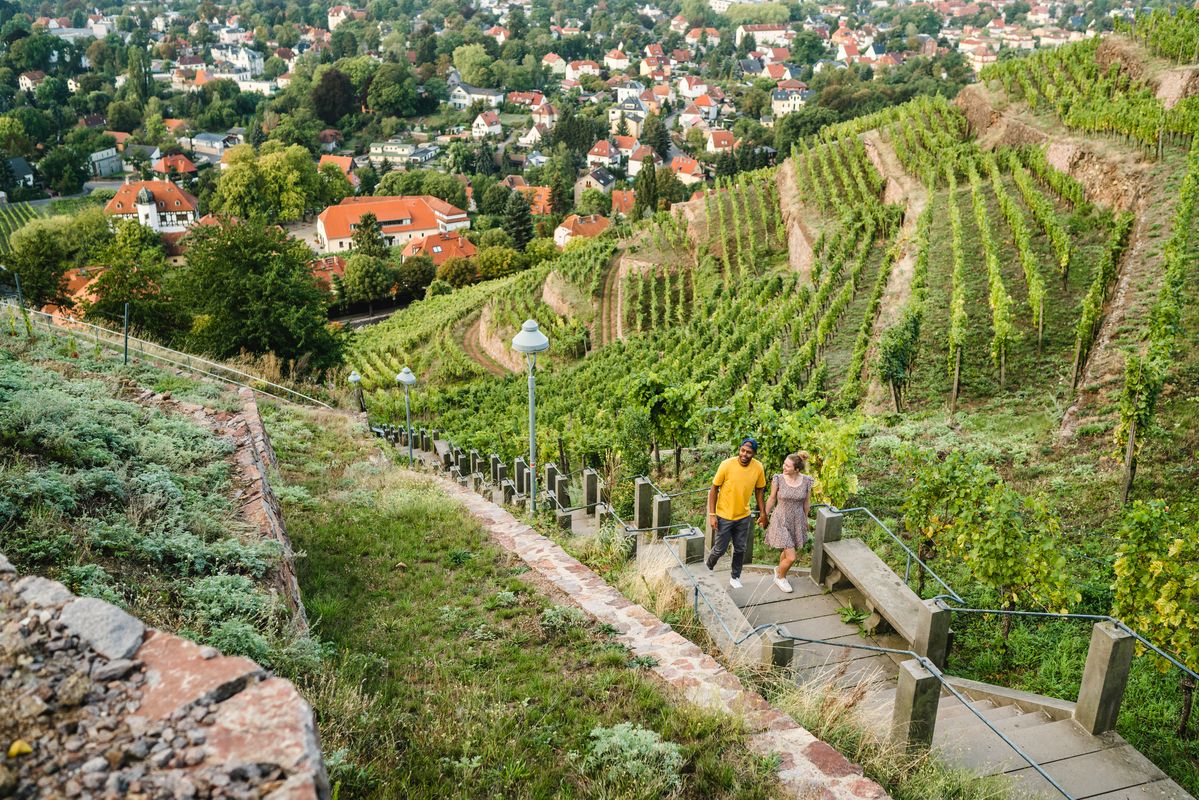
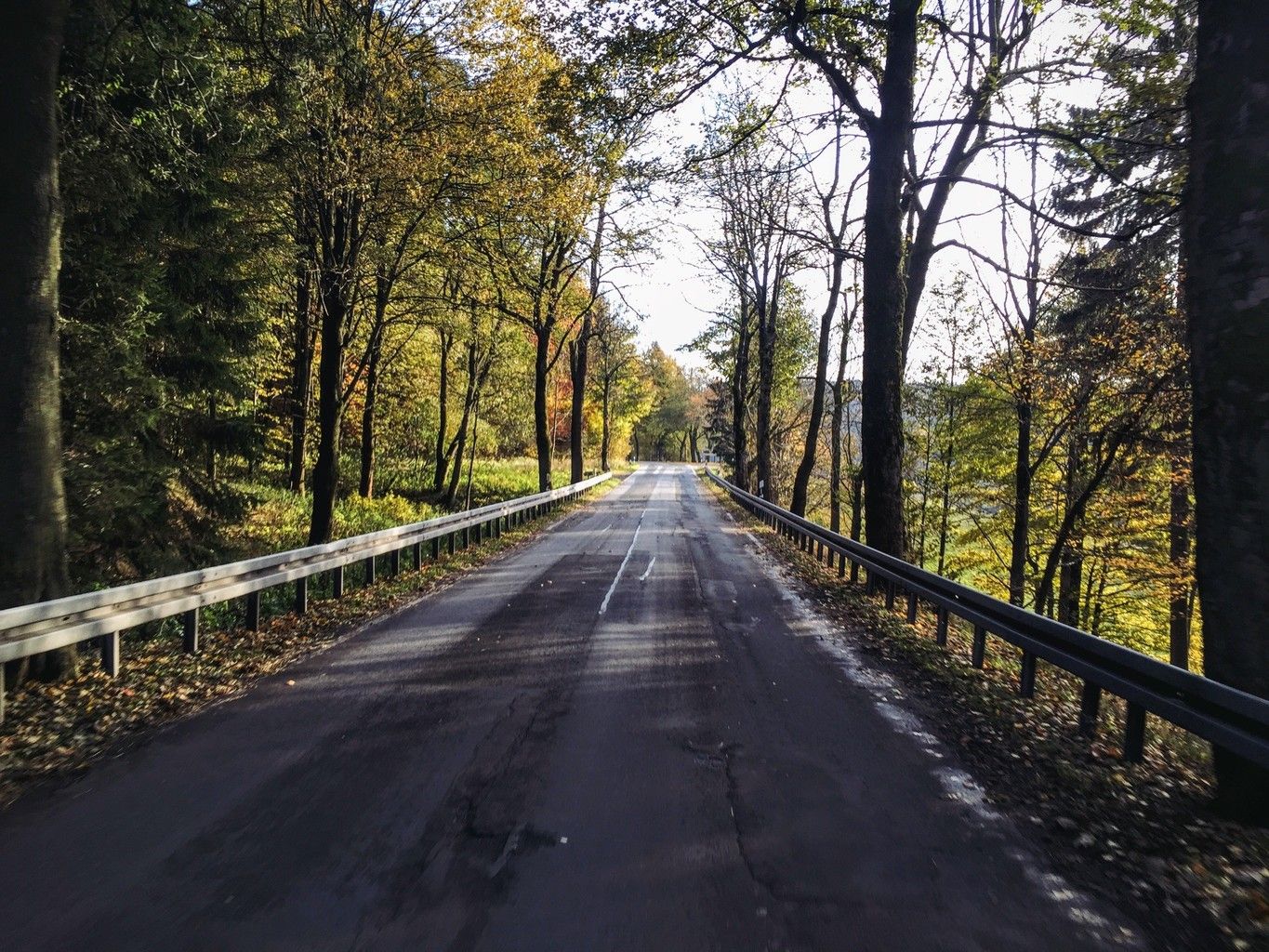

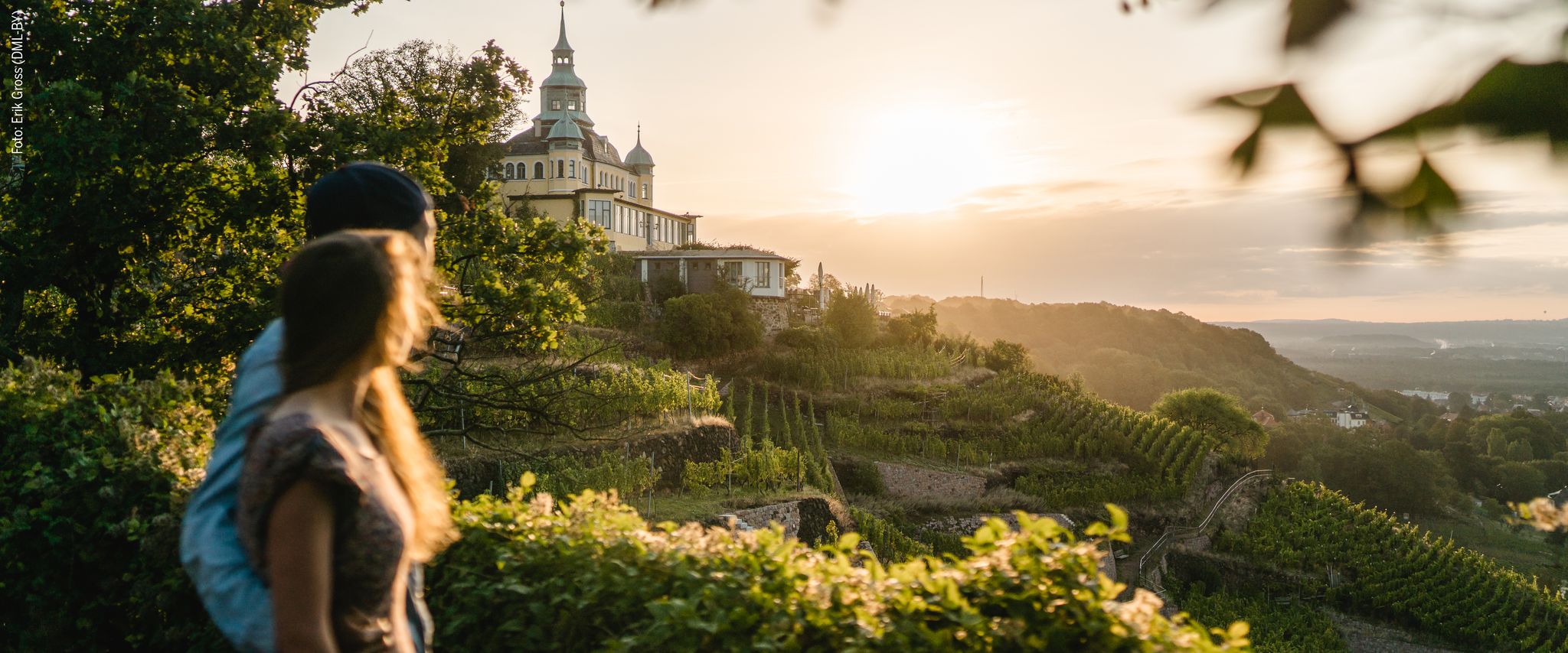
Other adventures in Weißeritztalhänge


Tips from the Community

The Aurora Erbstolln is an ideal hiking destination. Opening hours: April-October, every Saturday from 10:00 AM to 2:30 PM. Guided tour: Underground with helmet and lamp, duration approx. 35 to 60 minutes. Admission: Adults €4.50, children from 6 years €3.50. Special feature: Only walkable silver mine on the Silberstraße between Freiberg and Dresden.
0
0
The Reicher Silbersegen mine is a small, historic exploratory tunnel (operational period approx. 1866–1896) for silver ores in the valley of the Wilden Weißeritz. It is located south of Tharandt, on the municipal border between Dorfhain and Edle Krone. The tunnel, almost 35 m long, was economically insignificant. Today, the entrance is easily accessible from the Barthmühle during a hike, but it is not publicly accessible.
0
0
The Klingenberg dam is a significant dam in the Osterzgebirge, built between 1908 and 1914. It impounds the Wilde Weißeritz into a lake approximately 3.5 km long and serves primarily for the drinking water supply of Dresden and parts of the surrounding area, as well as for flood protection. The view of the dam wall from the AP, which is located directly opposite the dam crest, is particularly impressive.
0
0
The Teufelskanzel near Tharandt is a striking natural monument and a popular viewpoint, located on the edge of the adventurous Somsdorfer Klamm. The rock formation is situated at the transition from the Somsdorfer Höhe down into the romantic Rabenauer Grund, through which the Rote Weißeritz river flows. However, the view is somewhat restricted by dense vegetation. Hikers need good sure-footedness, sturdy hiking boots, and solid basic fitness. Especially in autumn and winter, the stones can become very slippery.
0
0
The Brüderweg-Klippenpfad is a challenging, alpine hiking trail in the Weißeritztal slopes between Tharandt and Freital. The scenically attractive route leads through dense forests, offers breathtaking views, and is only suitable for sure-footed hikers due to partly exposed steep slopes. [1, 2, 3, 4, 5]
0
0


Rest bench with a beautiful view of the dam
0
0

Small viewpoint, unless overgrown; nice walking path to it.
0
0
Frequently Asked Questions
How many dog-friendly hiking trails are available in Weißeritztalhänge?
Weißeritztalhänge offers a wide selection of dog-friendly routes, with over 30 trails specifically curated for you and your canine companion. These range from easy strolls to more challenging hikes, ensuring there's something for every dog and owner.
Are there easy dog-friendly trails suitable for beginners or older dogs?
Yes, the region features 8 easy dog-friendly trails, perfect for a relaxed outing with beginners, older dogs, or those looking for a gentle walk. These paths typically have less elevation gain and are well-suited for a leisurely pace.
What kind of terrain can I expect on dog-friendly hikes in Weißeritztalhänge?
You'll find diverse terrain, from wide, pleasant paths through dense beech forests to narrower, more adventurous mountain-like routes. Some trails may even feature railings, bridges, and ropes, adding an exciting element to your hike. The varied landscape offers stunning views of the Weißeritztal valley.
Can I find circular dog-friendly routes in the Weißeritztalhänge region?
Absolutely! Many of the dog-friendly routes in Weißeritztalhänge are circular, allowing you to start and end at the same point. For example, the Edle Krone Station – Rock with Poem Plaque loop from Edle Krone is a moderate 10 km circular hike that offers beautiful scenery.
What interesting sights can my dog and I see along the trails?
The trails in Weißeritztalhänge are rich with historical and natural attractions. You can explore the Ruins of Tharandt Castle, walk parts of the historic Brüderweg Cliffside Trail, or visit the Judeich Memorial Grave and Heinrich Cotta's Grave, which offer insights into the region's forestry history and provide scenic views.
Are there more challenging dog-friendly hikes for experienced hikers and energetic dogs?
Yes, for those seeking a greater challenge, Weißeritztalhänge offers 11 difficult dog-friendly trails. These routes often feature significant elevation changes and longer distances. An example is the demanding Brüderweg Cliffside Trail – Rabenauer Grund Nature Reserve loop from Tharandt, which spans over 18 km with considerable ascent.
When is the best time of year to go hiking with my dog in Weißeritztalhänge?
The dense beech forests of Weißeritztalhänge offer beautiful scenery throughout the year. Spring and autumn provide vibrant colors and comfortable temperatures, while summer offers lush greenery. Even in winter, the trails can be picturesque, though some sections might require more caution due to snow or ice. Always check local conditions before heading out.
What do other hikers say about the dog-friendly trails in Weißeritztalhänge?
The komoot community highly rates the dog-friendly trails in Weißeritztalhänge, with an average score of 4.5 out of 5 stars from over 1,500 ratings. Reviewers often praise the region's diverse landscapes, well-maintained paths, and the opportunity to explore historical sites with their dogs.
Are there any specific trails that offer great viewpoints for me and my dog?
Yes, the region is known for its scenic viewpoints. You can find stunning vistas at locations like the Backofenfelsen Viewpoint or Heinrichs Eck Viewpoint. Many trails, such as the Brüderweg, also offer expansive views of the valley as they wind through the forests.
Can you recommend a moderate dog-friendly hike?
For a moderate adventure, consider the Aurora Erbstollen Silver Mine – View of Klingenberg Dam loop from Dorfhain. This 11.5 km route offers a good balance of distance and elevation, taking you through interesting landscapes and past historical mining sites.
Is parking available for dog hikers, or can I use public transport to access the trails?
While specific parking details vary by trailhead, many popular starting points for hikes in Weißeritztalhänge offer designated parking areas. For public transport, it's advisable to check local bus or train schedules to see which routes connect to trail access points, especially in towns like Tharandt or Edle Krone.
Most popular routes in Weißeritztalhänge
Most popular attractions in Weißeritztalhänge

Get inspired with the komoot mobile app


Explore more
Browse the best Hikes in other regions.
