The best hikes from bus stations in Hochwald
4.6
(5729)
26,978
hikers
215
hikes
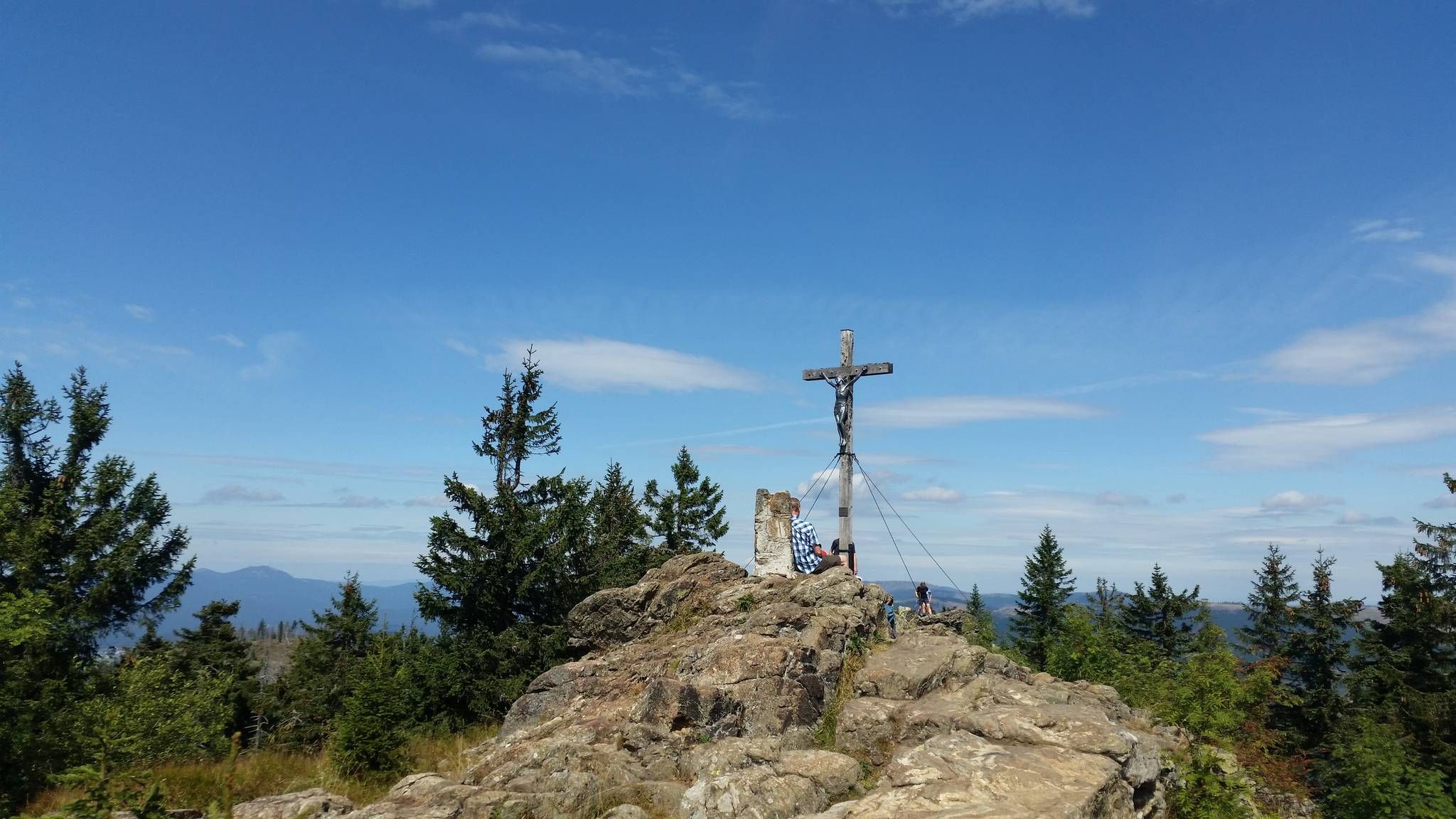
Bus station hiking trails in Hochwald traverse a landscape characterized by extensive forests, rolling hills, and deep valleys. The region features diverse natural habitats, including heathlands and rocky outcrops, with elevations reaching over 800 meters in some areas. Hikers can encounter distinctive geological formations such as "seas of rocks" and enjoy panoramic views from various peaks. The terrain offers a mix of challenging ascents and more gentle paths through varied woodland.
Best bus station hiking trails in Hochwald
- The most…
Last updated: June 25, 2026
4.9
(9)
35
hikers
16.9km
05:51
630m
630m
Hard hike. Very good fitness required. Sure-footedness, sturdy shoes and alpine experience required.
4.7
(16)
58
hikers
Easy hike. Great for any fitness level. Easily-accessible paths. Suitable for all skill levels.

Sign up for free
4.8
(19)
64
hikers
6.48km
02:06
290m
290m
Hard hike. Good fitness required. Sure-footedness, sturdy shoes and alpine experience required.
4.8
(50)
452
hikers
Hard hike. Good fitness required. Sure-footedness, sturdy shoes and alpine experience required.
4.3
(12)
31
hikers
Moderate hike. Good fitness required. Easily-accessible paths. Suitable for all skill levels.
Get access to more routes and recommendations from other explorers.
Sign up for free
Already have an account?
Our route recommendations are based on thousands of hikes, rides, and runs completed by other people on komoot.
Start today with a free account
Your next adventure awaits.
Login or Signup



Tips from the Community

End of the line for the road bike!
6
0
Guesthouse is open from Wednesday to Sunday (status 2026)
6
0

As the name suggests... 😉 a sign points to it here, otherwise there isn't much to see.
0
0
Rock formation worth seeing on the Hochficht Trail.
0
0
Beautiful panorama of the Plöckensteiner See and the Lipno Reservoir in the distance.
0
0

The Rosenberger Estate is the perfect starting and finishing point for the circular tour: ample parking, a peaceful beginning – and at the end of the tour, you'll arrive right back where Stifter once found inspiration. www.neureichenau.de
1
0

Frequently Asked Questions
How many bus-accessible hiking trails are there in Hochwald?
There are over 200 hiking routes in Hochwald that are accessible by bus, offering a wide range of options for all skill levels. You'll find everything from short, easy strolls to challenging full-day treks.
What are the difficulty levels of bus-accessible hikes in Hochwald?
The trails vary significantly in difficulty. You can find approximately 65 easy routes, 116 moderate routes, and 35 difficult routes, ensuring there's a suitable option whether you're looking for a leisurely walk or a strenuous challenge.
Are there any circular walks starting from a bus station in Hochwald?
Yes, many routes are designed as circular walks, allowing you to start and end your hike at the same bus stop. For example, the Dreisessel Rock – Dreisesselhaus Mountain Inn loop from Pleckensteiner Wald is a challenging circular route that offers stunning views.
What natural attractions can I see along bus-accessible trails in Hochwald?
Many bus-accessible trails lead to significant natural landmarks. You can explore the impressive Dreisessel Rock, a striking feature of the Bavarian Forest, or discover the unique Stone Sea at Plöckenstein, a massive cluster of granite rocks formed during the ice age.
Are there any family-friendly bus-accessible hikes in Hochwald?
Yes, Hochwald offers several family-friendly options. Look for routes categorized as 'easy' for shorter distances and less elevation gain. These often pass through scenic forests and offer gentle terrain suitable for children. The region's diverse habitats provide opportunities for nature observation.
Can I hike with my dog on bus-accessible trails in Hochwald?
Generally, dogs are welcome on most hiking trails in Hochwald, especially in the Hunsrück-Hochwald National Park and the Bavarian Forest. However, always keep your dog on a leash, especially in protected areas or near wildlife. Be mindful of local regulations and ensure your dog is comfortable with the terrain and distance.
What are some notable viewpoints or landmarks accessible by bus in Hochwald?
The region is rich in viewpoints. From the Dreisessel Rock, you can enjoy extensive views of the Bavarian and Bohemian Forests. Another unique landmark is the Tripoint Monument (Germany–Austria–Czech Republic), where three countries meet, often accessible via trails like the Gegenbach Stream – Border Crossing to Austria loop from Lackenhäuser.
What is the best time of year to hike in Hochwald from a bus station?
Spring, summer, and autumn are ideal for hiking in Hochwald. Spring brings blooming flora, summer offers warm weather for longer days, and autumn showcases vibrant foliage. While winter hiking is possible, be prepared for snow and ice, especially at higher elevations like the Dreisessel mountain, and check bus schedules as some services may be reduced.
Are there any long-distance or challenging routes accessible by bus?
Yes, for experienced hikers, there are challenging routes with significant elevation gain. The Trail to Plöckenstein – Plešné jezero loop from Lackenhäuser is a difficult route covering nearly 19 km with over 900 meters of ascent, offering a demanding but rewarding experience.
What do other hikers enjoy most about bus-accessible trails in Hochwald?
The area is highly rated by the komoot community, with an average score of 4.59 stars. Reviewers often praise the diverse natural landscapes, including extensive forests and unique geological formations like the Stone Sea. The well-maintained trails and the opportunity to explore pristine wilderness directly from public transport stops are frequently highlighted.
Are there any specific geological features to look out for on these trails?
Absolutely. The Hochwald region, particularly around the Bavarian Forest, is known for its impressive geological formations. The Stone Sea at Plöckenstein is a prime example, featuring massive granite rocks that formed during the ice age. You might also encounter areas of 'deadwood' which, while not conventionally beautiful, are part of the natural regeneration process in the national park.
Are there any cafes or places to eat near bus-accessible trailheads in Hochwald?
Yes, depending on your starting point, you can often find amenities. For instance, the Dreisessel Rock – Dreisesselhaus Mountain Inn loop from Pleckensteiner Wald includes the Dreisesselhaus Mountain Inn, offering refreshments. Many villages and towns with bus stations also have local cafes or restaurants where you can refuel before or after your hike.
Most popular routes in Hochwald
Most popular attractions in Hochwald

Get inspired with the komoot mobile app


Explore more
Browse the best Hikes in other regions.
