Karwendel Und Karwendelvorgebirge
Karwendel Und Karwendelvorgebirge
The best traffic-free bike rides in Karwendel Und Karwendelvorgebirge
4.6
(396)
2,770
riders
30
rides
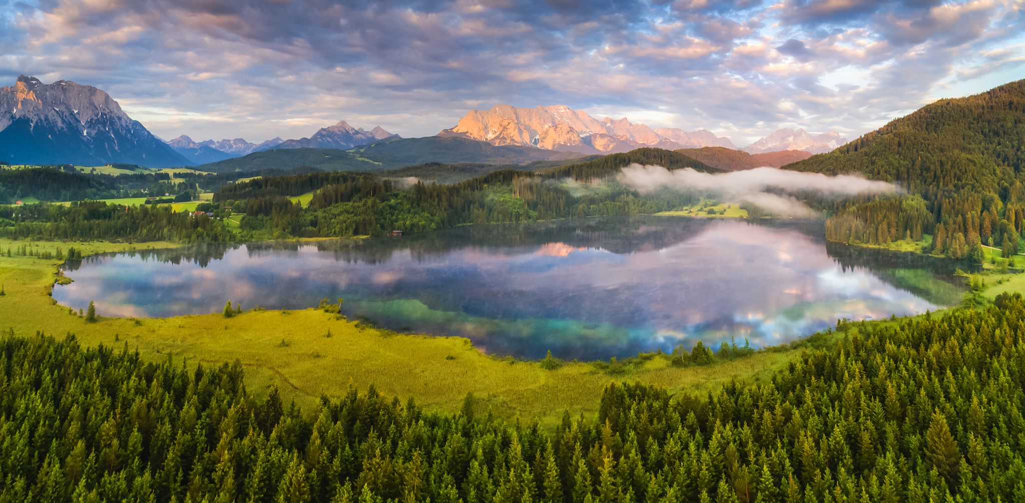
No traffic gravel bike trails in Karwendel Und Karwendelvorgebirge traverse a landscape characterized by rugged mountain flanks, extensive forests, and gentle alpine meadows. The region features dramatic limestone cliffs, glacial moraines, and wild river systems like the Isar and Rißbach. Gravel bikers can explore a network of tracks through four impressive valleys: Karwendel Valley, Hinterautal, Gleirschtal, and Gießenbachtal. This diverse terrain offers varied surfaces, from well-maintained gravel paths to forest roads, suitable for different skill levels.
Best no traffic gravel…
Last updated: July 8, 2026
7
riders
Easy gravel ride. Great for any fitness level. Mostly paved surfaces. Suitable for all skill levels.
5.0
(2)
14
riders
65.2km
04:24
600m
820m
Hard gravel ride. Very good fitness required. Mostly paved surfaces. Suitable for all skill levels.

Sign up for free
4.9
(77)
495
riders
54.4km
03:03
530m
530m
Hard gravel ride. Very good fitness required. Mostly paved surfaces. Suitable for all skill levels.
5.0
(12)
113
riders
52.3km
03:27
960m
960m
Hard gravel ride. Very good fitness required. Mostly paved surfaces. Suitable for all skill levels.
4.9
(28)
152
riders
22.3km
01:16
250m
250m
Moderate gravel ride. Good fitness required. Mostly paved surfaces. Suitable for all skill levels.
Get access to more routes and recommendations from other explorers.
Sign up for free
Already have an account?
Our route recommendations are based on thousands of hikes, rides, and runs completed by other people on komoot.
Start today with a free account
Your next adventure awaits.
Login or Signup
Popular around Karwendel Und Karwendelvorgebirge

The "Dream Path" hiking trail – From Munich to Venice in 28 stages
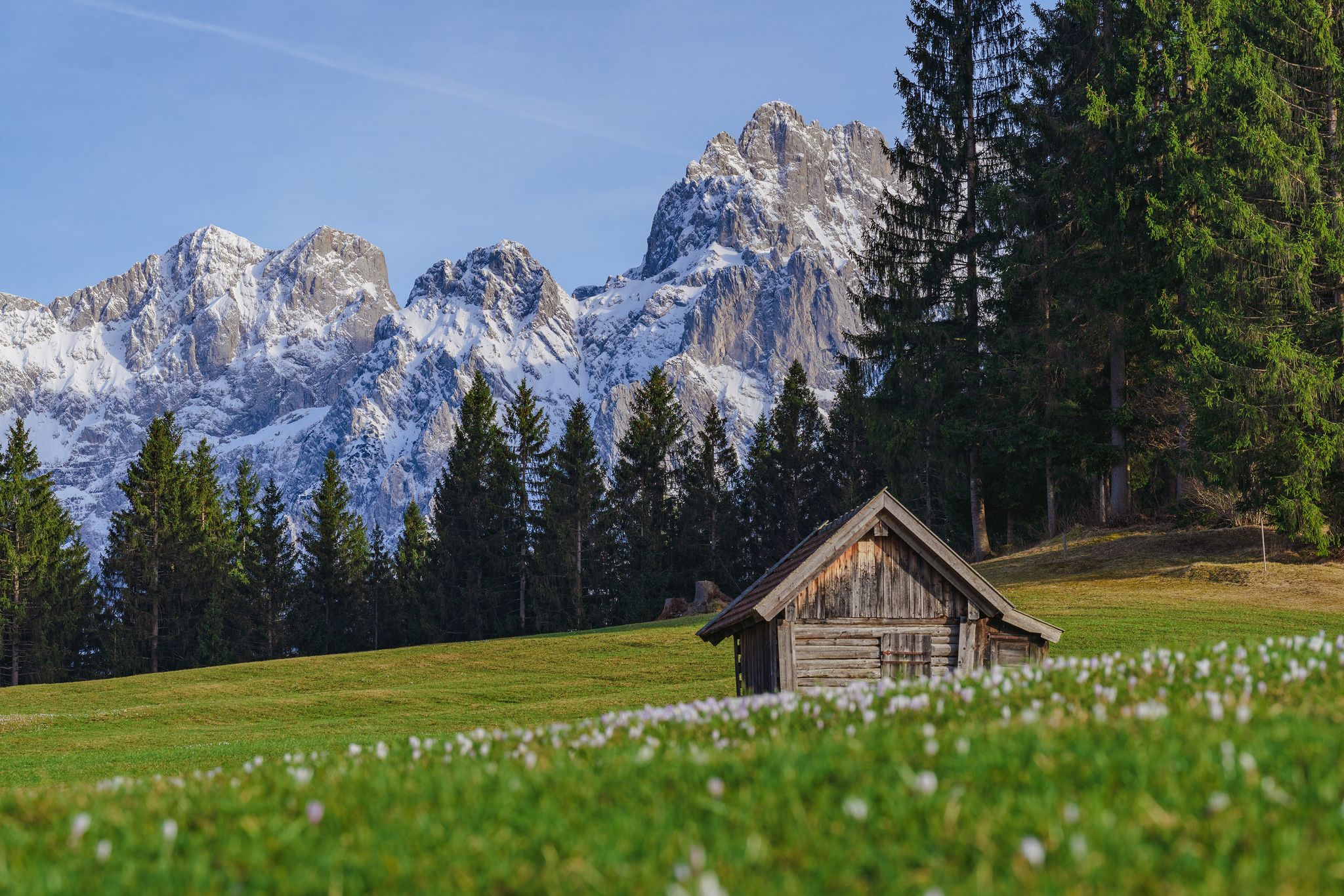
The blue Isar, far away – spring hikes in the Karwendel Mountains
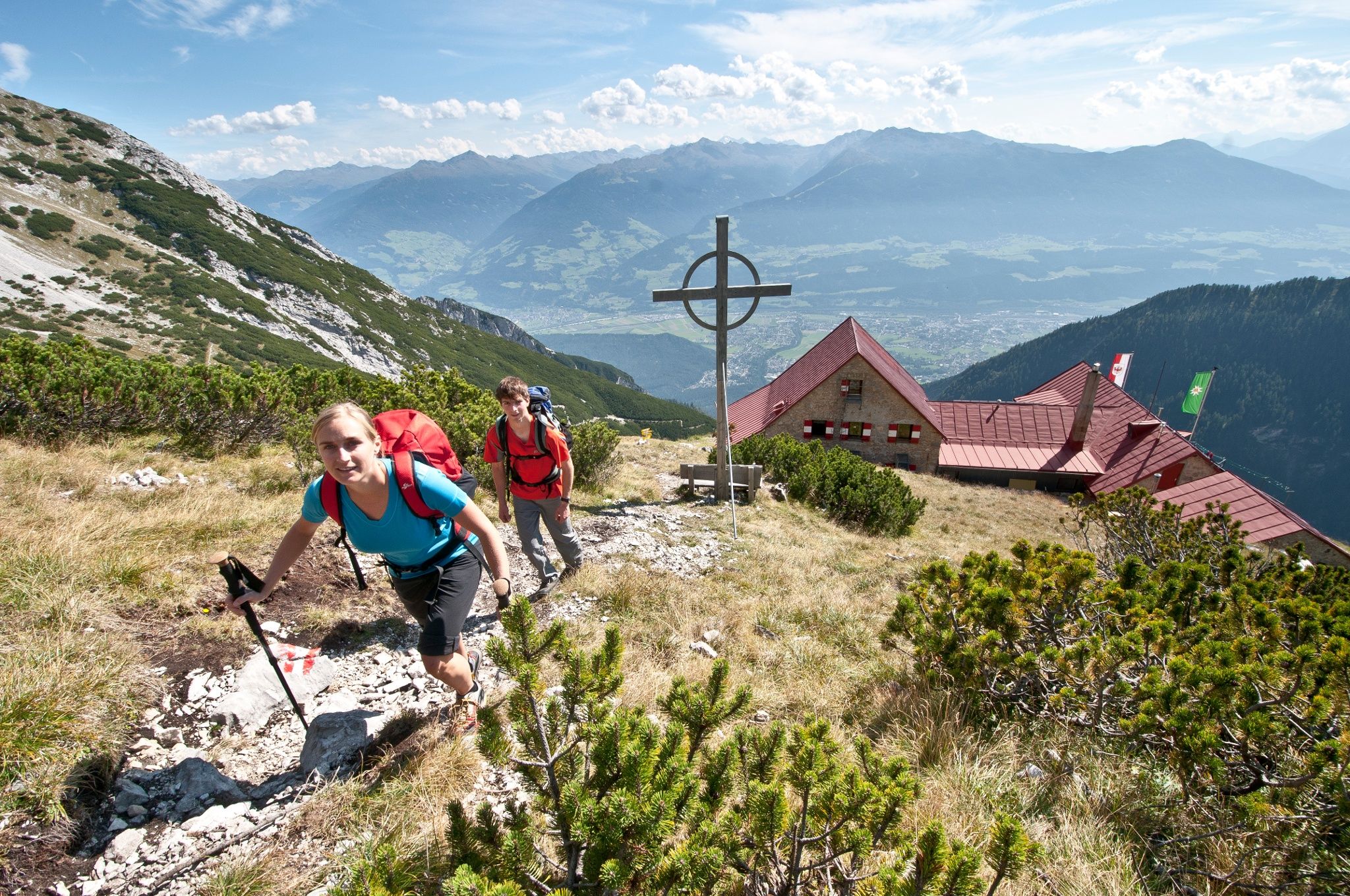
Multi-day WÖFFI mountain hikes in Karwendel
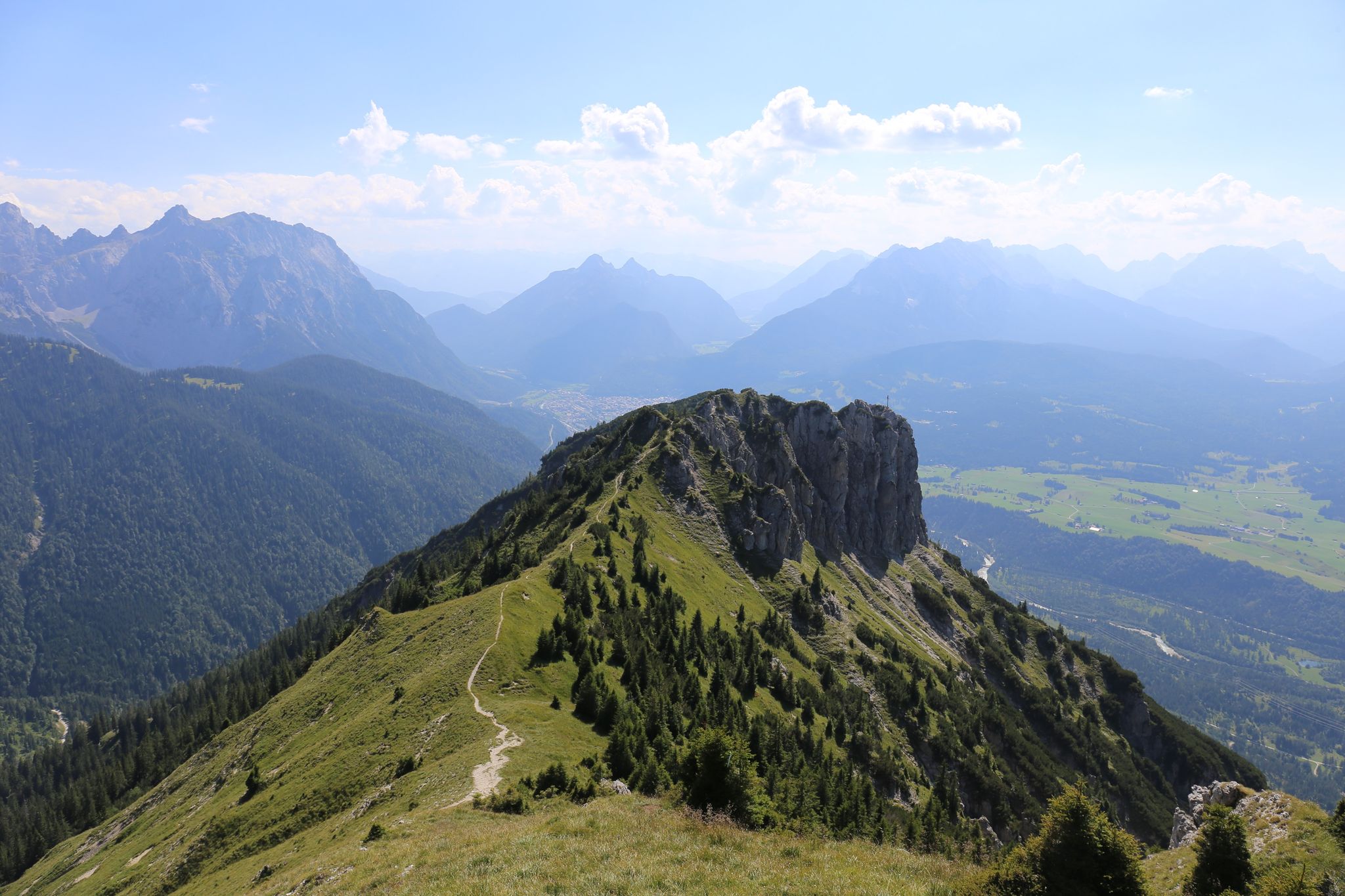
From the Isar to the ridge – hike in the Karwendel Mountains
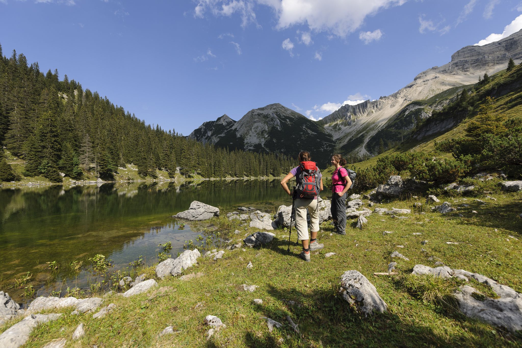
Karwendel – around Mittenwald
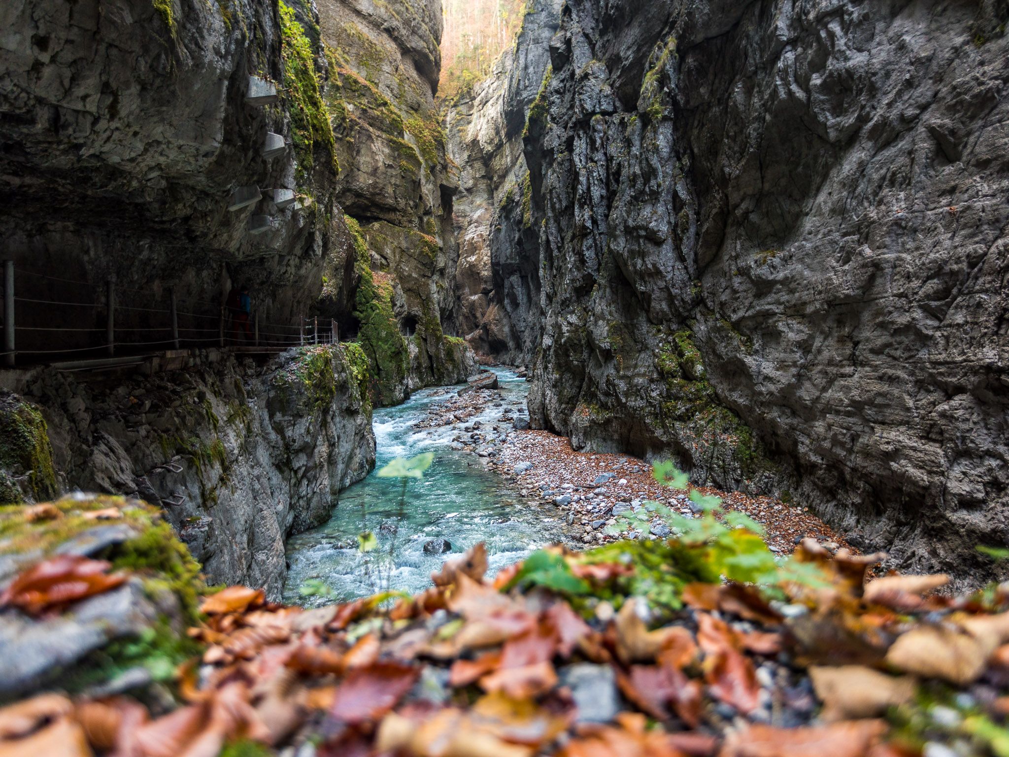
Watery German wonders — gorges and lakes in the Zugspitz Region
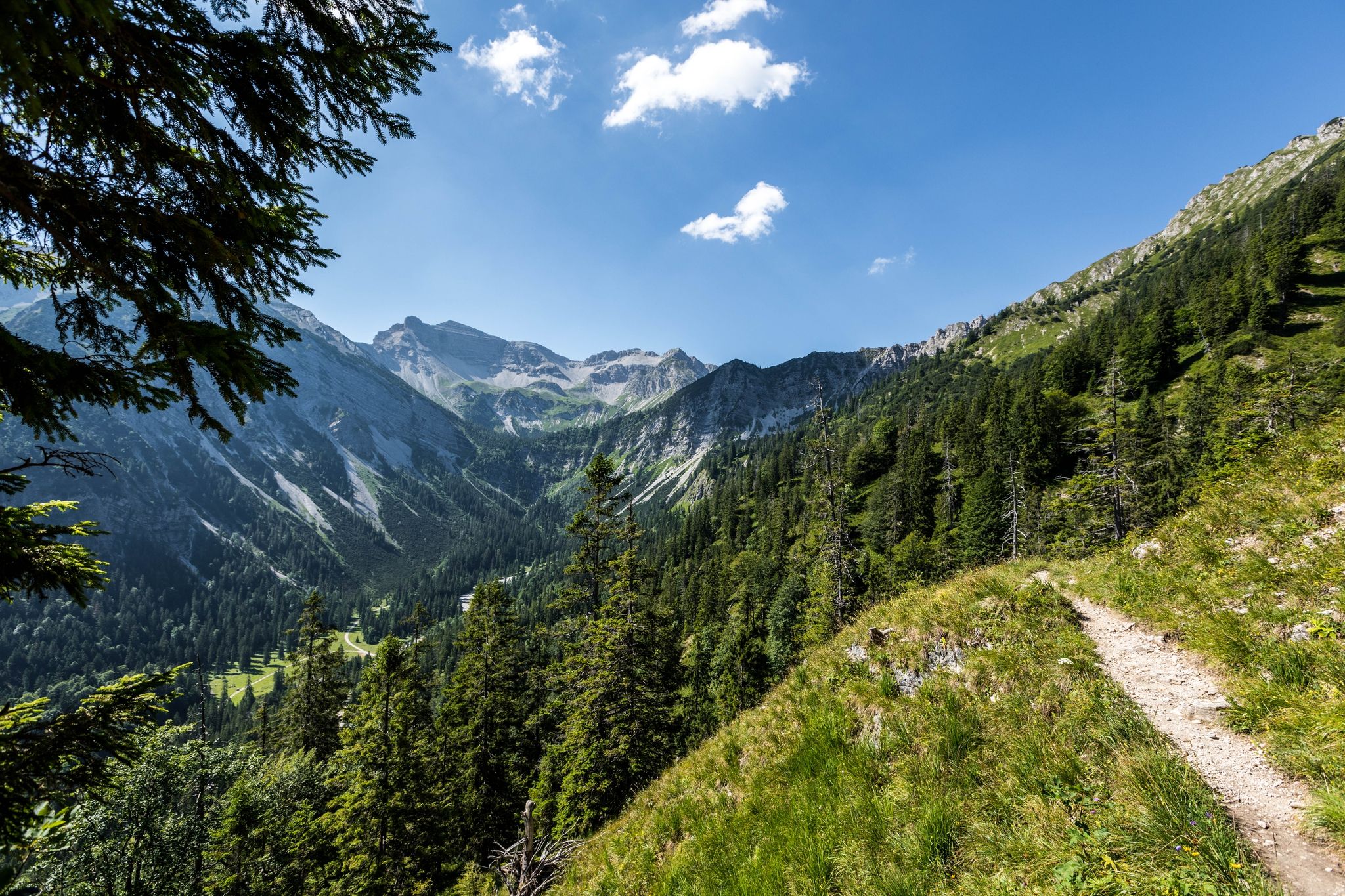
12 days through the Zugspitze region on the Spitzenwanderweg
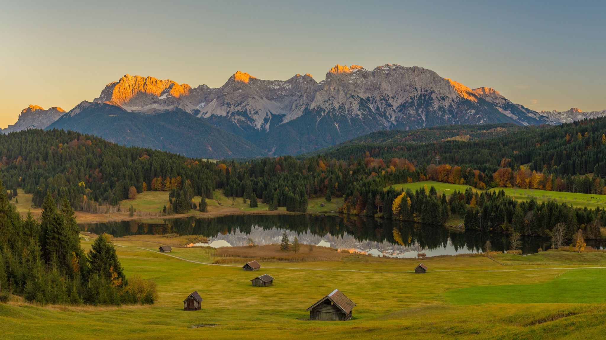
An action-packed holiday in the Karwendel Alpine world
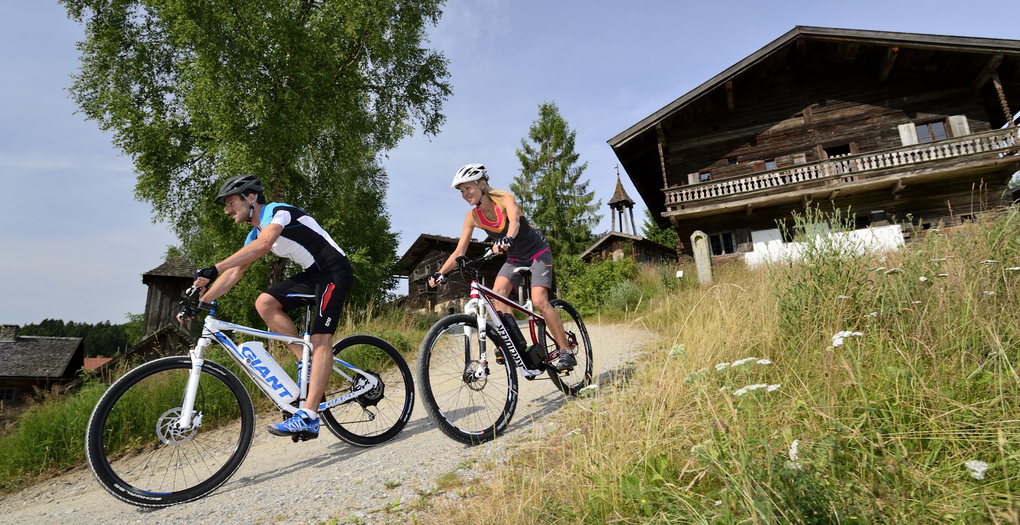
Delights for all the senses - mountain biking and theme tours in Bavaria
Autumn hiking in the Alpenwelt Karwendel
Other adventures in Karwendel Und Karwendelvorgebirge


Tips from the Community

The Isar is a river approximately 292 km long in Austria and Germany. It originates in the Karwendel mountains in Tyrol, flows through Bavaria, passing through Munich among other places, and flows into the Danube near Deggendorf. The Isar is an important river for nature, animals, and recreation in Bavaria.
0
0

The route leads deep into the extensive Karwendel nature reserve. The route is unique in terms of scenery, as it runs almost exclusively through wooded sections and open gravel banks directly on the turquoise-blue river.
13
0
The path leads upstream through the Hinterautal, framed by the mighty, steep rock faces of the Karwendelgebirge. Here at the highest point of the tour, the valley presents itself in its full beauty.
12
0
The reservoir is a body of water near Krün in the Upper Bavarian Isar Valley. It is located in the Karwendel Alpine region and offers spectacular views of the Karwendel Mountains. Swimming in the lake is prohibited due to the strong current.
14
1


View of the Karwendel Mountains from the Isa cycle path.
0
0

The bridge connects the town of Krün to the eastern cycling and hiking path along the Isar River. Numerous hiking and biking trails open from here. Swimming or entering the Isar's banks is not recommended. These areas are breeding grounds and also home to rare flora.
0
0
Bridge over the Isar River on the outskirts of Krün. Currently, some debris is being removed from the Isar in a northerly direction to create more space for the riverbed. Near the bridge is the Gries hiking car park. Numerous hiking and biking trails lead from the bridge.
1
0
Frequently Asked Questions
How many no-traffic gravel bike trails are available in Karwendel Und Karwendelvorgebirge?
The Karwendel Und Karwendelvorgebirge region offers over 30 dedicated no-traffic gravel bike trails. These routes provide a fantastic way to explore the diverse landscapes, from gentle river valleys to more challenging mountain foothills, all while enjoying the peace and quiet away from motorized traffic.
What is the general difficulty level of these traffic-free gravel routes?
The no-traffic gravel routes in Karwendel Und Karwendelvorgebirge cater to a range of abilities. You'll find approximately 6 easy routes perfect for beginners or a relaxed ride, 9 moderate routes for those seeking a bit more challenge, and around 19 difficult routes for experienced gravel bikers looking for demanding ascents and technical sections.
What kind of natural features and landmarks can I expect to see along these trails?
The region is rich in natural beauty. Many routes follow pristine waterways like the Isar and Rißbach rivers. You can explore ancient forests, including the famous Großer Ahornboden with its sycamore maples, and dramatic gorges such as the Hüttlebach Gorge. Keep an eye out for stunning mountain views and diverse wildlife. For specific highlights, consider visiting the Wild Isar Valley or the Isar Reservoir near Mittenwald.
Are there any family-friendly no-traffic gravel biking options?
Yes, several routes are suitable for families, particularly those that are classified as easy. These often feature smoother surfaces and minimal elevation gain, allowing for a relaxed ride. Look for trails that stick to the wider valley floors, which tend to be less strenuous and offer beautiful scenery without significant challenges.
Can I bring my dog on these gravel bike trails?
Generally, dogs are welcome on most trails in the Karwendel region, provided they are kept on a leash, especially within the Karwendel Nature Park, to protect wildlife. Always ensure your dog is well-behaved and that you carry waste bags. It's advisable to check specific local regulations or trail signage before heading out, as some sensitive areas might have stricter rules.
What is the best time of year to ride these traffic-free gravel trails?
The best time for gravel biking in Karwendel Und Karwendelvorgebirge is typically from late spring (May) through early autumn (October). During these months, the weather is generally pleasant, and most trails are free of snow. Summer offers lush greenery, while autumn provides stunning fall foliage. Spring can be beautiful but some higher elevation trails might still have snow or be muddy. Winter riding is possible on lower, cleared paths, but many routes will be inaccessible or require specific winter gear.
Are there any circular no-traffic gravel routes?
Yes, many of the gravel routes in the region are designed as loops, allowing you to start and end at the same point without retracing your steps. For example, the View of the River Isar – Isar Bridge near Krün loop from Mittenwald, Isarhorn offers a scenic, easy circular ride. Another option is the longer Sylvensteinsee – Großer Ahornboden loop from Fall, which provides a more challenging full-day adventure.
Where can I find parking and public transport access for these trails?
Many trailheads in the Karwendel region offer designated parking areas, especially near popular starting points in towns like Mittenwald, Scharnitz, and Fall. Public transport, primarily buses, also serves many of these towns and can often transport bikes, though it's best to check schedules and bike carriage policies in advance. This allows for flexible planning, including point-to-point rides if you arrange transport back to your starting point.
What do other gravel bikers enjoy most about the Karwendel Und Karwendelvorgebirge trails?
The Karwendel Und Karwendelvorgebirge region is highly rated by the komoot community, with an average score of 4.55 stars. Reviewers often praise the sheer beauty of the untouched nature, the extensive network of traffic-free forest and gravel roads, and the feeling of solitude found on many routes. The diverse terrain, from gentle river paths to challenging mountain climbs, also receives high marks for offering something for every skill level.
Are there cafes or refreshment stops directly on the no-traffic gravel routes?
While many routes offer a sense of wilderness, you'll often find traditional alpine huts (Almen) or small cafes in valleys or at popular viewpoints, especially during peak season. These provide opportunities for refreshments and local cuisine. For example, routes through the Hinterautal or Gleirschtal valleys often have such stops. It's always a good idea to carry sufficient water and snacks, especially on longer or more remote sections, as services may not be frequent.
What are the specific rules for gravel biking within the Karwendel Nature Park?
Within the Karwendel Nature Park, gravel biking is generally permitted on designated roads and trails. It's crucial to stay on marked paths to protect the sensitive ecosystem and wildlife. Respect any signage regarding closures or restrictions, especially during breeding seasons or for environmental protection. Always keep dogs on a leash and pack out all your trash. The primary goal is to enjoy the nature responsibly and leave no trace.
Most popular routes in Karwendel Und Karwendelvorgebirge
Most popular attractions in Karwendel Und Karwendelvorgebirge

Get inspired with the komoot mobile app


Explore more
Browse the best Gravel rides in other regions.
