The best hikes from bus stations in Pärlälvens Fjällurskog
4.5
(31)
161
hikers
3
hikes
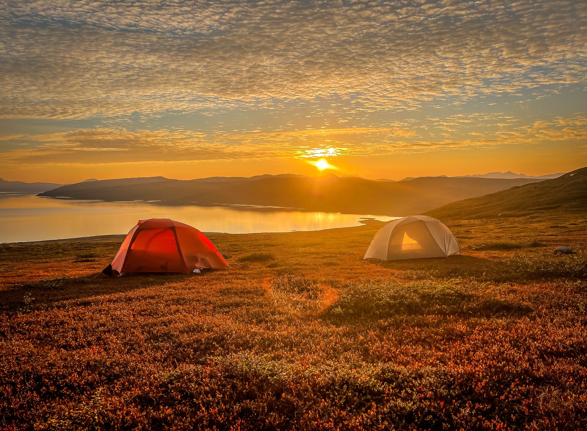
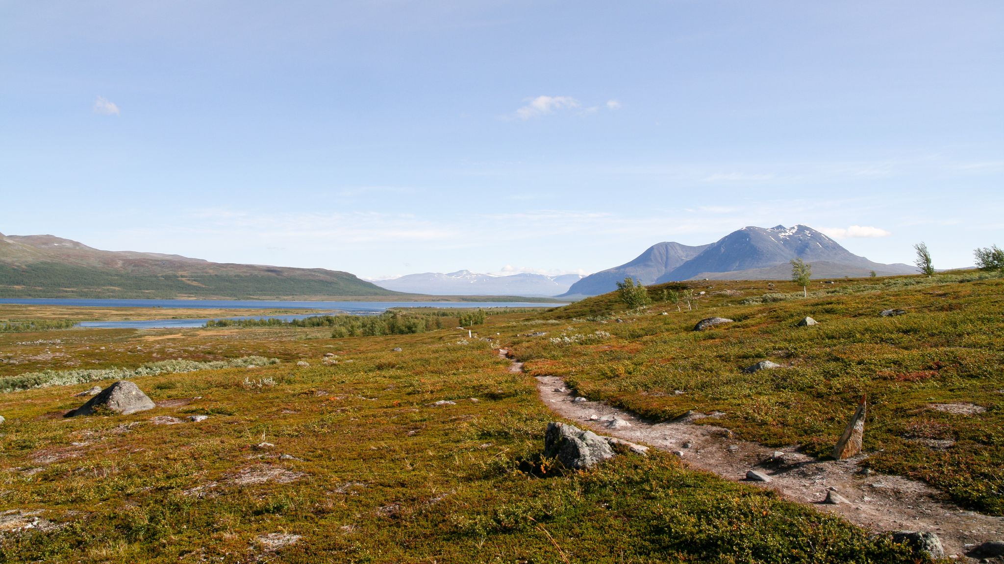
Bus station hiking trails in Pärlälvens Fjällurskog lead through one of Sweden's last large-scale virgin forest areas, offering expansive, unspoiled natural environments. The region features diverse terrain, including forests, fells, mires, lakes, and watercourses. The Pärlälven River, historically known for freshwater pearl mussels, flows through the area, which is also home to the botanically rich Tarradalen valley. These landscapes provide a variety of experiences for hikers.
Best bus station hiking trails in Pärlälvens Fjällurskog
- The most popular bus station hiking…
Last updated: July 8, 2026
4.8
(21)
112
hikers
10.8km
03:37
550m
550m
Moderate hike. Good fitness required. Easily-accessible paths. Suitable for all skill levels.
4.2
(6)
37
hikers
Moderate hike. Good fitness required. Easily-accessible paths. Suitable for all skill levels.

Sign up for free
4.5
(4)
8
hikers
13.6km
04:23
560m
560m
Moderate hike. Good fitness required. Easily-accessible paths. Suitable for all skill levels.
Our route recommendations are based on thousands of hikes, rides, and runs completed by other people on komoot.
Start today with a free account
Your next adventure awaits.
Login or Signup
Popular around Pärlälvens Fjällurskog
Other adventures in Pärlälvens Fjällurskog


Tips from the Community

Small, cozy shelter on the edge of the Sarg National Park. It can accommodate up to ten people.
0
0

This is where the various boat transfer providers start.
9
0
A large and free parking lot. There is also a waste bin to dispose of rubbish after your tour.
10
0
Large and efficient mountain station here there are often more people than residents in the village.
12
0
This beautiful wooden church was consecrated in 1907.
12
0


Kvikkjokk lies deep in the mountains of Lapland. Kvikkjokk is a starting point for several national parks: Padjelanta, Sarek, and Stora Sjöfallet. Single rooms and rooms Restaurant Bar & Café Shop Sauna Self-catering kitchen Outdoor equipment rental Living room Pets allowed Opening hours Open during the summer season from 7:30 a.m. to 9:00 p.m. Kvikkjokk is one of the oldest Swedish settlements in Lapland. In the 17th century, the mountain village was a local metropolis and a center for the processing of silver ore from the Alkavare mine in Sarek. During his journey through Lapland, Carl Linnaeus arrived in the village in 1732 via the boat route from Jokkmokk. During the trip, he collected a significant portion of the material for his systematic mapping of mountain flora. Next to the village of Kvikkjokk, there are four observation mountains.
2
0
Frequently Asked Questions
How many bus station hiking trails are available in Pärlälvens Fjällurskog?
There are currently 3 moderate hiking routes directly accessible from bus stations in Pärlälvens Fjällurskog. These trails offer a great way to explore the region's unique landscapes using public transport.
What kind of terrain can I expect on bus-accessible hikes in Pärlälvens Fjällurskog?
The bus-accessible hikes in Pärlälvens Fjällurskog traverse diverse terrain, including vast untouched virgin forests, fells, and areas with lakes and watercourses. You'll experience a mix of pine forests in valleys, spruce at higher elevations, and mountain birch on the slopes of gentle low mountains, offering varied natural environments.
Are there any circular routes starting from bus stations?
Yes, all the bus-accessible routes in this guide are circular, allowing you to start and end your hike conveniently at the same point near a bus station. For example, the Sjnjierák Shelter – Kvikkjokk loop from Kvikkjokks kyrka is a great option.
What are some notable natural features or landmarks I can see along these trails?
Along these trails, you can experience the region's untouched virgin forests and fells. Specific highlights include the Boat Transfer Kvikkjokk – Padjelantaleden/Kungsleden Crossing and the Pärlälven River, known for its natural beauty. The Gamájåhkå Rapids – STF Kvikkjokk Mountain Station loop from Kvikkjokk specifically takes you past the scenic Gamájåhkå Rapids.
What is the best time of year to hike these bus-accessible trails?
The best time to hike in Pärlälvens Fjällurskog is generally during the warmer months, from late spring to early autumn (June to September). During this period, the trails are typically free of snow, and the weather is more favorable for hiking. Autumn offers stunning fall colors in the forests.
Are these trails suitable for families?
The trails listed are rated as moderate, meaning they require a reasonable level of fitness. While not specifically designated as 'easy' for beginners or very young children, families with some hiking experience and older children may find them enjoyable. The Gamájåhkå Rapids – STF Kvikkjokk Mountain Station loop from Kvikkjokk, with its lower elevation gain, might be a good starting point for active families.
Can I bring my dog on these bus station hikes?
Yes, dogs are generally welcome on hiking trails in Pärlälvens Fjällurskog, provided they are kept on a leash. This is important for the safety of your dog, other hikers, and local wildlife, especially during certain times of the year. Always ensure you follow local regulations regarding pets in nature reserves.
What do other hikers enjoy most about hiking in Pärlälvens Fjällurskog?
The komoot community highly rates the hiking experiences in Pärlälvens Fjällurskog, with an average score of 4.5 stars. Reviewers often praise the expansive, unspoiled natural environments, the unique virgin forests, and the sense of genuine wilderness. The well-established trails and diverse landscapes are also frequently highlighted.
Are there any longer or more challenging routes accessible from bus stops?
While the routes in this guide are moderate, Pärlälvens Fjällurskog is traversed by significant long-distance hiking routes like the King's Trail (Kungsleden) and the Padjelanta/Badjelánnda Trail. These can be accessed from Kvikkjokk, which is a key bus station. These longer trails offer more challenging multi-day experiences for advanced hikers.
Where can I find accommodation or amenities near the bus station trailheads?
The primary bus station for these trails is in Kvikkjokk. Here, you'll find the STF Kvikkjokk Mountain Station, which offers accommodation and amenities. For multi-day hikes deeper into the reserve, facilities like STF Tarrekaise Mountain Cabin and STF Njunjes Mountain Cabin provide accommodation, though these require further hiking beyond the immediate bus station area.
What is the elevation gain like on these bus-accessible trails?
The elevation gain varies among the moderate routes. For instance, the Sjnjierák Shelter – Kvikkjokk loop from Kvikkjokks kyrka involves approximately 545 meters of ascent, while the Gamájåhkå Rapids – STF Kvikkjokk Mountain Station loop from Kvikkjokk has a more gentle ascent of around 251 meters. The Kvikkjokk Church – Kvikkjokk loop from Kvikkjokks kyrka has an elevation gain of about 557 meters.
Most popular routes in Pärlälvens Fjällurskog
Most popular attractions in Pärlälvens Fjällurskog

Get inspired with the komoot mobile app


Explore more
Browse the best Hikes in other regions.
